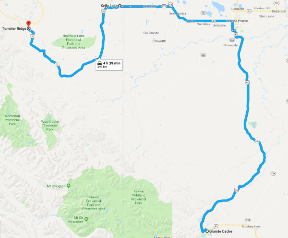
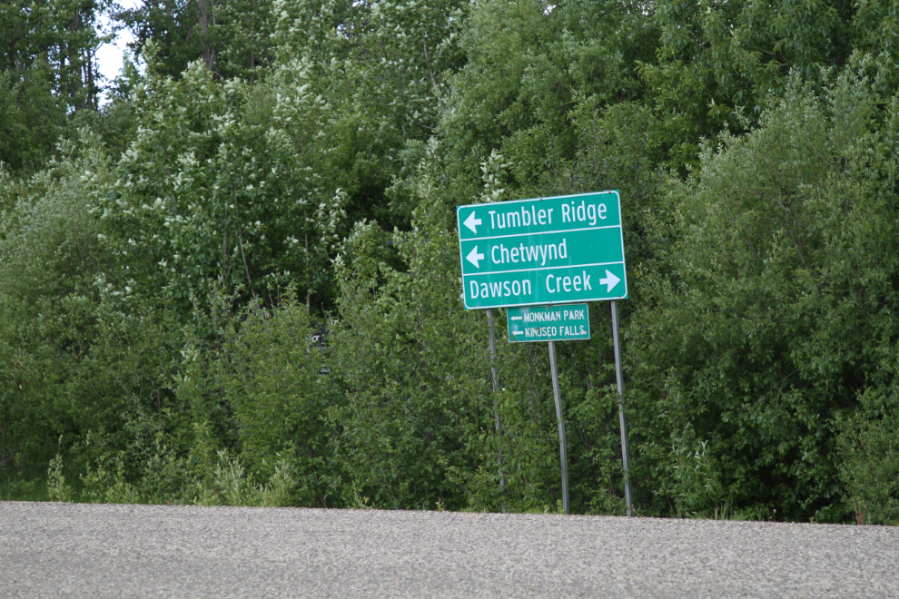
The back way into Tumbler Ridge – Highways 671 and 52 from the east
In the afternoon of Day 50 of the trip – Thursday, June 14th – I headed north from Grande Cache on Highway 40. The next stop would be Tumbler Ridge, 391 km (243 mi) to the northwest, but we would need to overnight along the way and I had no idea where that would be. I was going to take the “back route” to Tumbler via Highways 671 and 52, though I’d been warned that it was rough.
Because Highway 52 dips so far south, this route only saves 43 km over the more usual all-paved route through Dawson Creek, but I wanted to see what it was like regardless of other considerations. As usual, click here to open an interactive version of the map in a new window.
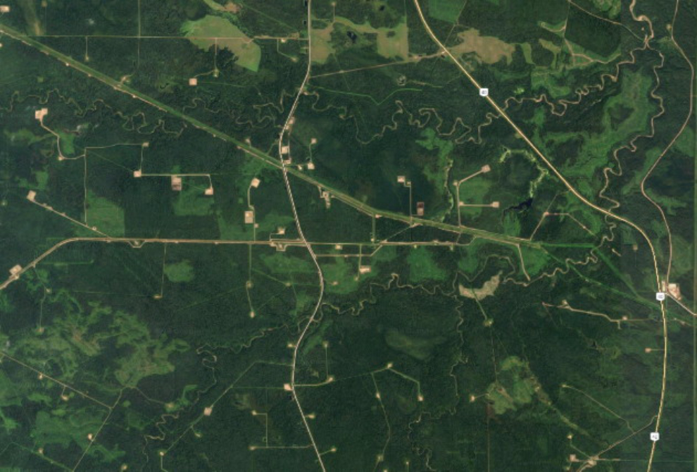
By 3:00 pm, we were well into the rich oil and gas country south of Grande Prairie. The next photo shows a new pipeline route on the left, then an industrial road, then Highway 40.
From the air, the region south of Grande Prairie is a maze of seismic lines, pipeline routes, drill pads, access roads, and other signs of past and present oil and gas activities.
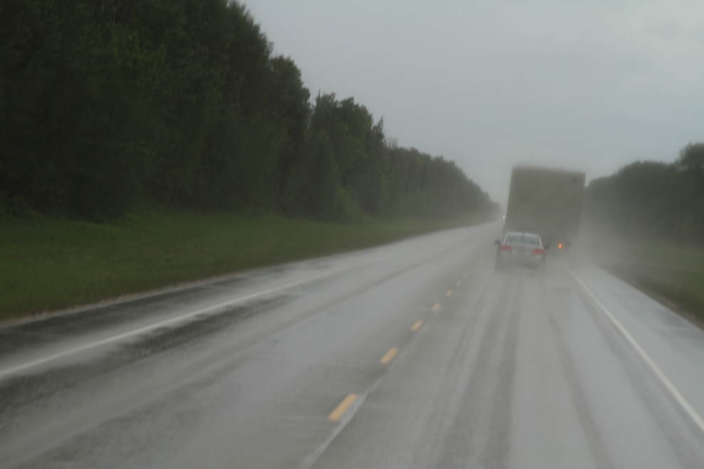
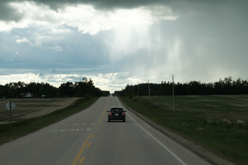
It began raining heavily at about 4:00, and at the same time, we caught up to a rig move that was now spraying mud. By the time we reached Grande Prairie, my side windows and mirrors were so dirty that my vision was very limited. In the crazy traffic of Grande Prairie, that made doing anything but passing through in as straight a line as possible unsafe.
The rain stopped as we drove through Grande Prairie. Reaching Beaverlodge at about 5:30, I stopped for a big load of fuel ($316.00 worth at $1.379/litre), and then to make everyone dinner. We stayed there for quite a while and I thought about spending the night, but finally decided to put a few more miles on.
The Highway 671 turn was well marked, and we were soon passing from the open prairies into bush country that was again full of signs of oil and gas activity. There was thankfully no industrial traffic, though – perhaps that area has been largely shut down.
At 6:40 we passed a small sign saying that we were entering British Columbia, and the pavement ended. A few minutes later, we came to a T, with no signs indicating which might be the correct way. I guessed and turned right. When the road got quite rough and I was wondering where we might end up, I finally turned on the GPS, which confirmed that my choice had been correct. The community of Kelly Lake is here somewhere, but I never saw any indication of where it might be.
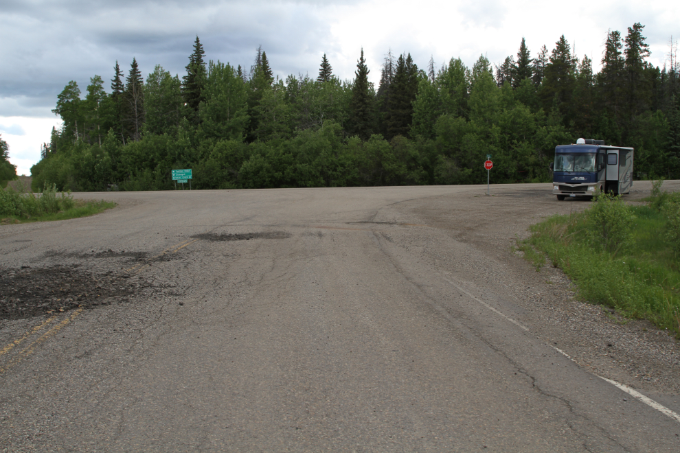
Right at 7:00 pm, we reached Highway 52.
There was a large pullout at the junction, and as it was the first I’d seen since leaving Beaverlodge, it was a pretty easy choice to park there for the night. Through the night, I only heard 4 or 5 vehicles go by – this really is The Road Less Travelled.
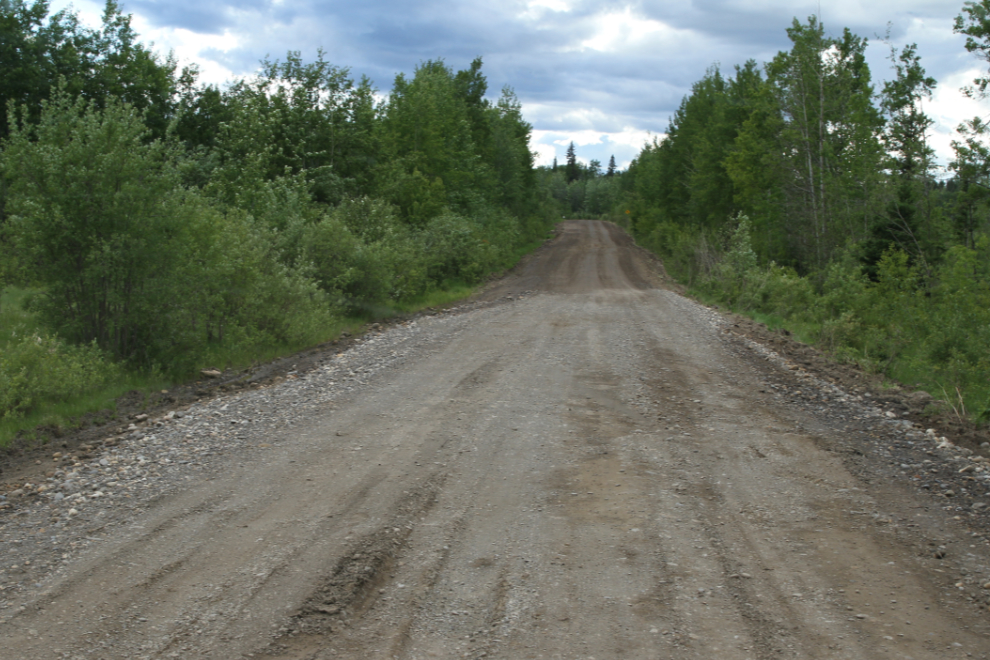
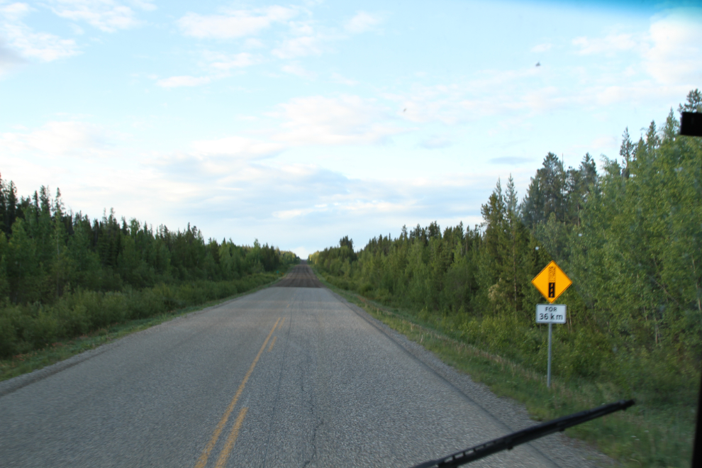
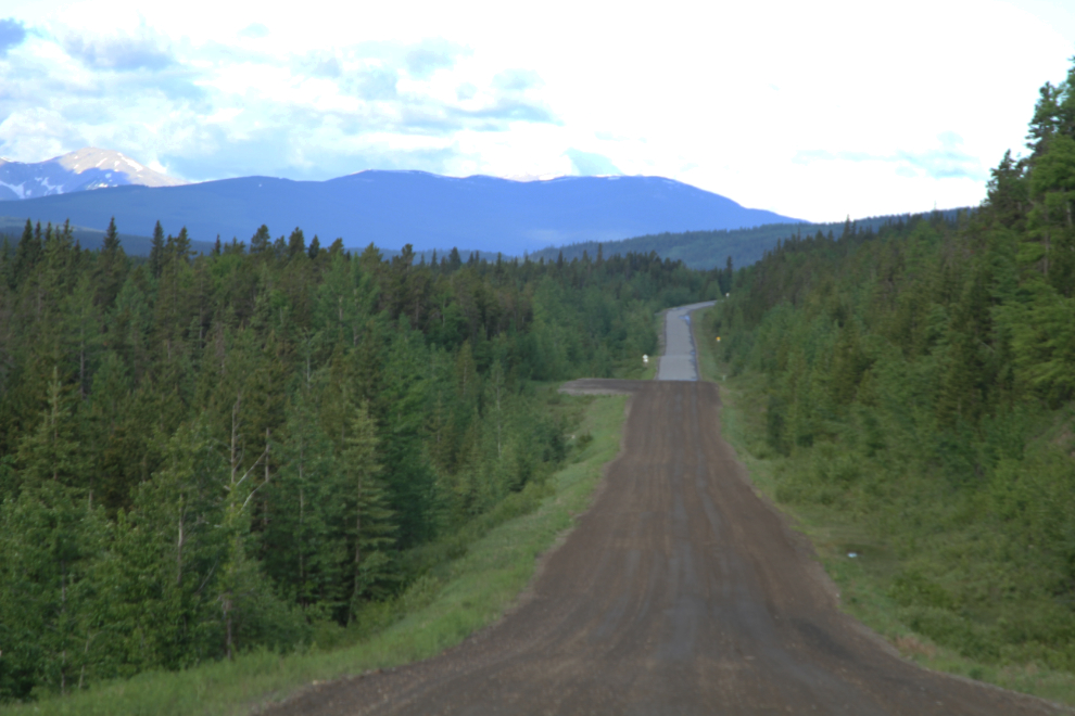
After a leisurely morning, we were on the road by about 06:30, and 20 minutes or so later, we reached a 36-km stretch of gravel. It wasn’t clear yet what the weather was going to do.
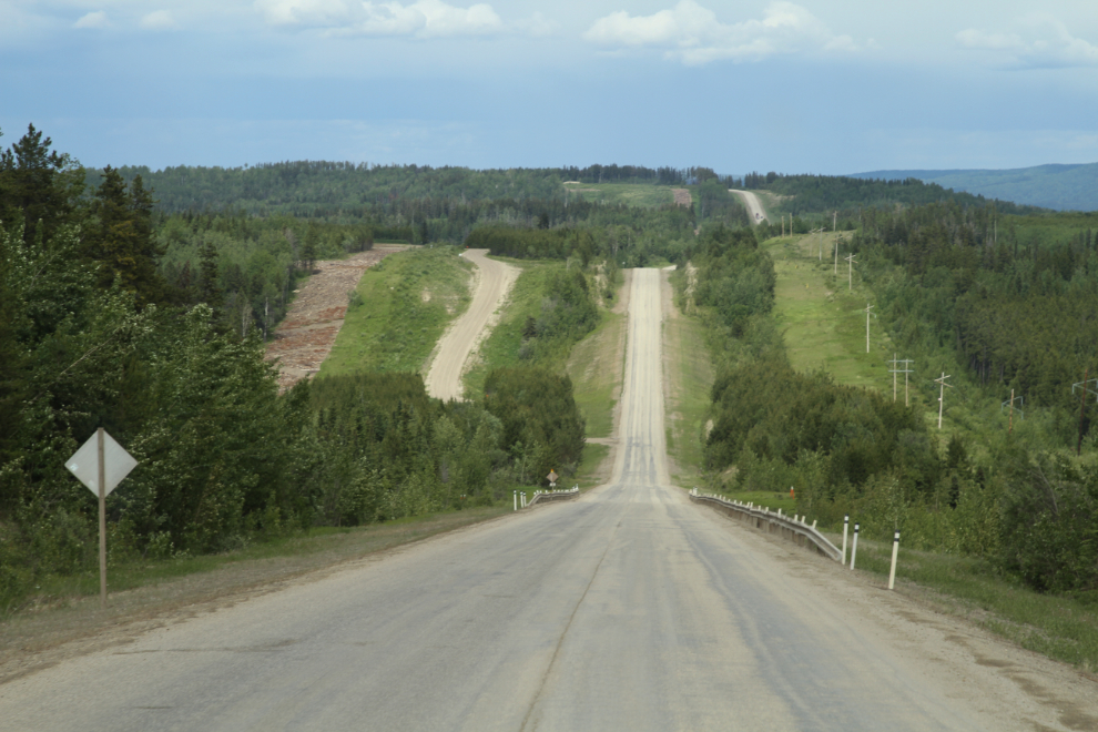
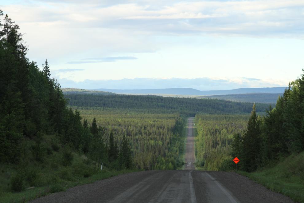
This area had apparently got the heavy rain we been hit by on Highway 40, and the road condition varied from good to very soft. There are some wonderful views.
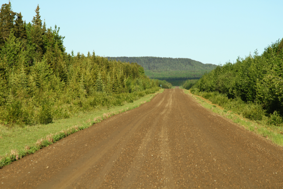
After 36 minutes on the gravel (a 60 km/h average speed – not bad), pavement was just ahead.
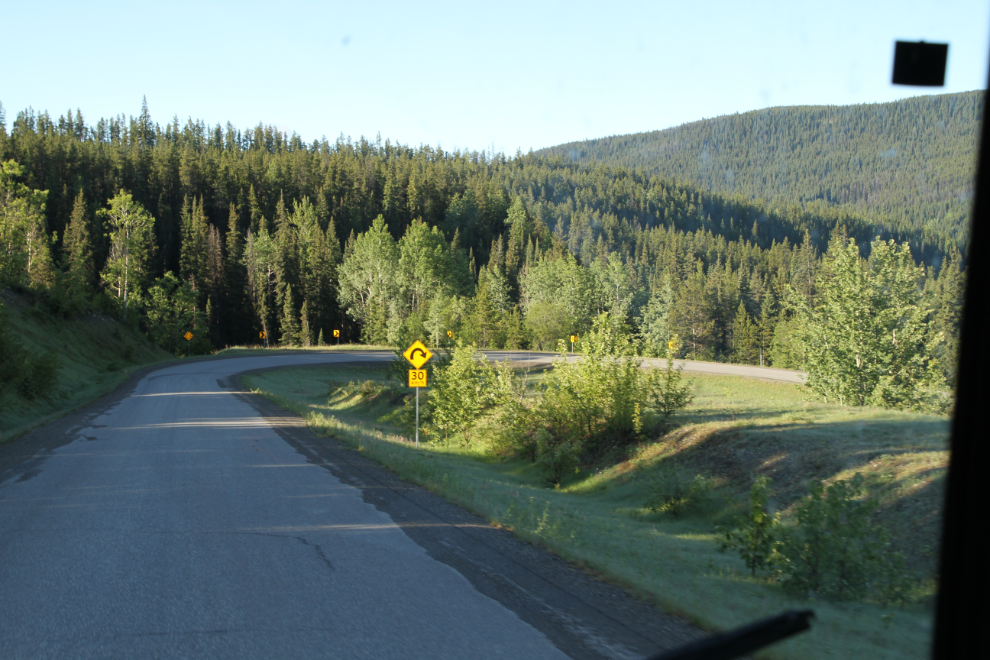
A pair of hairpin curves drop the highway into one valley just south of Tumbler Ridge.
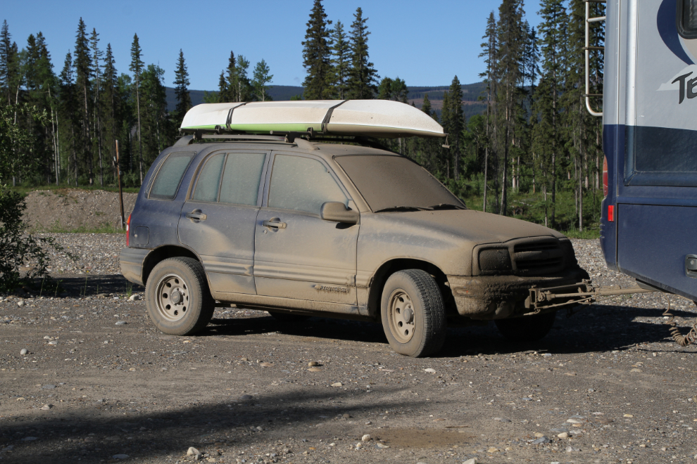
At 09:00, we reached Tumbler Ridge, and I eventually found my way around a lot of road construction to reach the visitor center, which has a huge parking lot behind it. With no signs stating that I couldn’t, my plan was to park there for a 3-night stay. The motorhome had picked up a good load of mud from the gravel part of Highway 40.
The Tracker would certainly need a bath before she could be used!
I had arranged to spend my time in Tumbler Ridge with very talented local photographer Collin Ball who I met on Facebook. He’s actually a cousin of one of my cousins. We met for breakfast, and immediately hit it off. This was going to be a great visit 🙂