Exploring Grande Cache: Sulphur Gates and Eaton Falls
After re-visiting Ogre Canyon near Hinton in the morning of Day 49 of the trip – Wednesday, June 13 – we headed north to Grande Cache for a night or maybe two. I had several hikes in mind, with Sulphur Gates and Eaton Falls being at the top of the list.
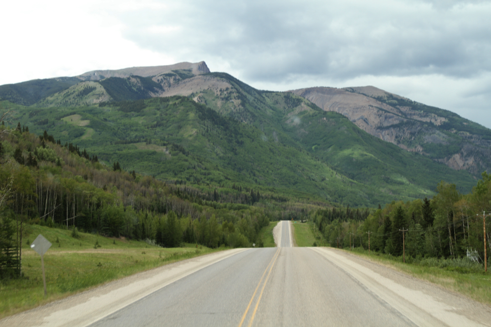
By 1:15 pm we were northbound on Highway 40, signed as the “Scenic Route to Alaska”.
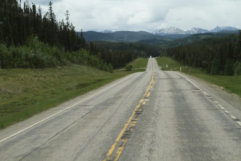
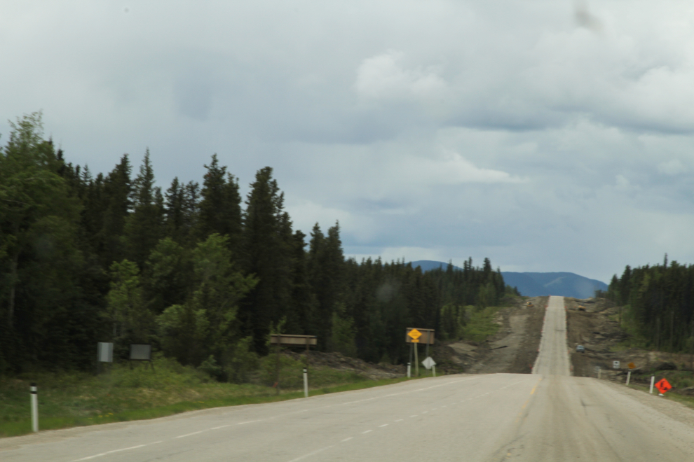
For some 30 km south of Grande Cache, the highway is being completely rebuilt. The new road will be wider, and there will be passing lanes on most of the hills.
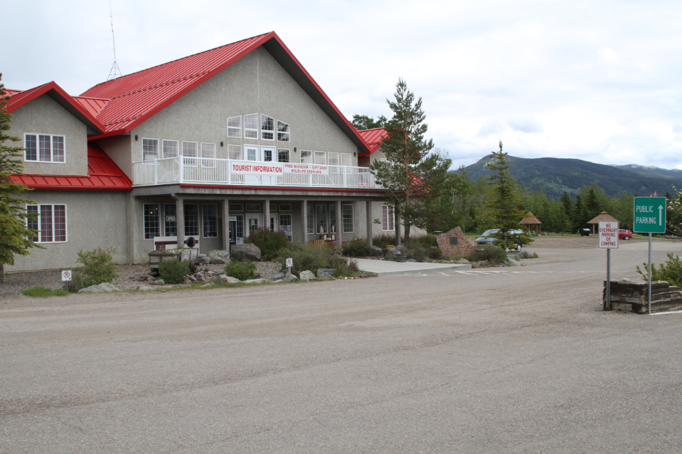
My first stop in Grande Cache, as is often the case, was the visitor centre. I wanted a map of area hiking trails, and I needed a shop that would do an oil change on the RV for me. With both of those things accomplished, the woman I was talking to suggested the beautiful Municipal Campground as a good place to spend the night. I’m also paying attention to which visitor centres allow overnight parking for RVs, in response to a comment in an RV group that most in Canada allow it. My experience has been just the opposite, and now that I’m paying close attention to that, I’m convinced that few allow it (many don’t even have suitable parking for big RVs). Grande Cache has lots of parking but doesn’t allow overnighting.
I went to the shop that said on the phone that they could do an oil change, to confirm that when they saw what I’m driving. It took a few minutes to confirm that they had a filter, but yes, 08:00 the next morning would be great.
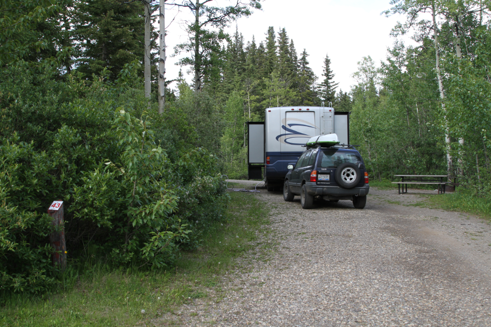
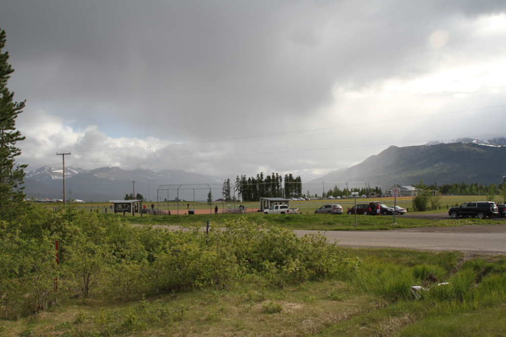
I was soon set up at the Grande Cache Municipal Campground, at a cost of $36.50. The sites are large but not very level. Although they claim they have free wifi, it actually only reaches 3 of the 77 sites. For me, the only place in the campground where I could sit down in a warm, dry location and get free wifi was the public toilet. If I would have known that, I wouldn’t have checked in, and I’m not likely to be back.
I took Bella and Tucker out, intending a long walk. Once we broke out of the forest about a kilometer away, though, an approaching rainstorm changed that plan. It seemed to be changing the plans of the ball players arriving for a game, too! A few minutes ater getting back to the motorhome, heavy rain started.
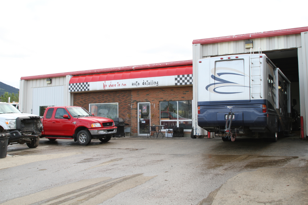
I was back at “Nowhere to run auto detailing” at 08:00 Thursday morning. They’re actually much more than a detailing shop – they seem to do pretty much anything involving cars and trucks (and RVs). The service was great, the price very reasonable, and an hour later I was back on the road. I highly recommend them if you ever need anything in Grande Cache.
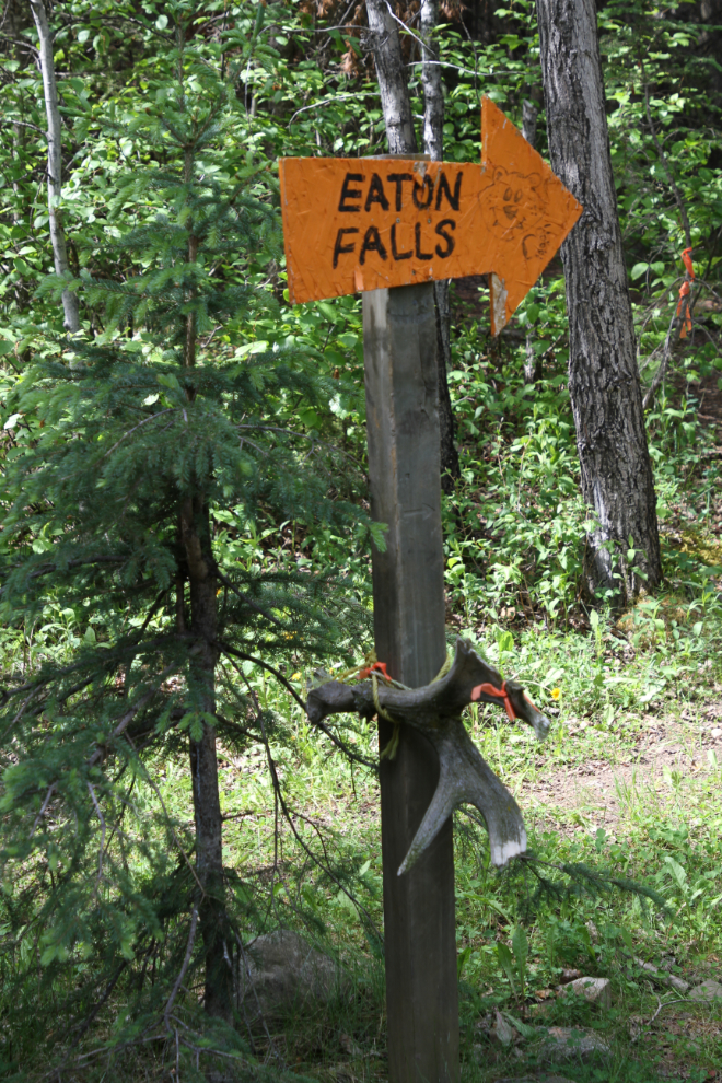
I had decided that the Sulphur Gates and Eaton Falls hikes were the ones I wanted to do first. They’re both accessed by a gravel road that starts from Highway 40, six km north of Grande Cache. I disconnected the Tracker for the 6.8-km drive to the trailhead, as I couldn’t remember how RV-friendly it is.
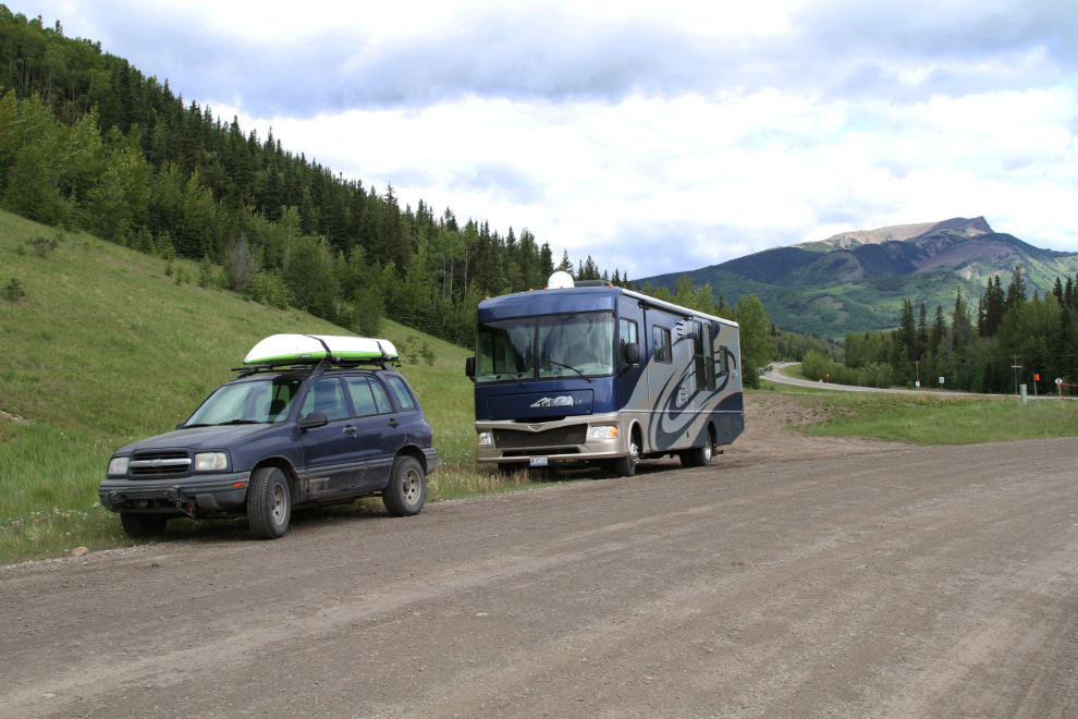
The gravel road to the Sulphur Gates Provincial Recreation Area was in pretty good condition and as it turned out, there’s plenty of room to get turned around at the trailhead, as the area is popular with people pulling horse trailers.
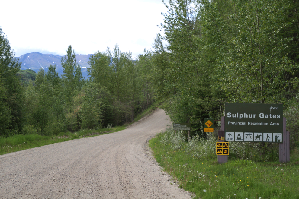
The Grande Cache Area Trails & Adventure Map (pdf, 2.7 MB) introduces Sulphur Gates this way: “If you have time for just one short walk, or want the best scenery possible for the minimum effort, this is the place you should go.” I concur 🙂
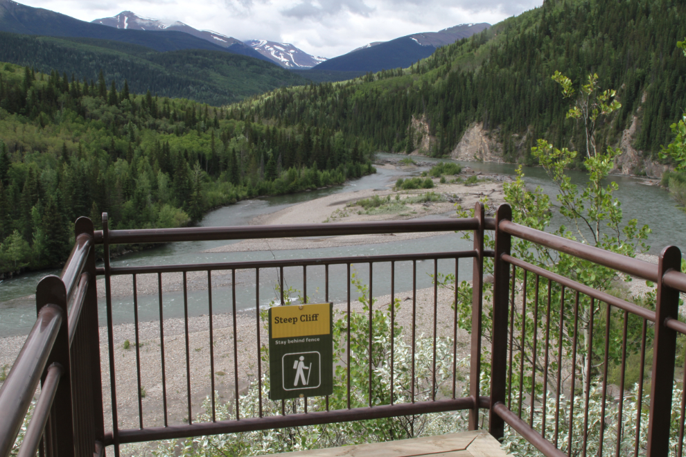
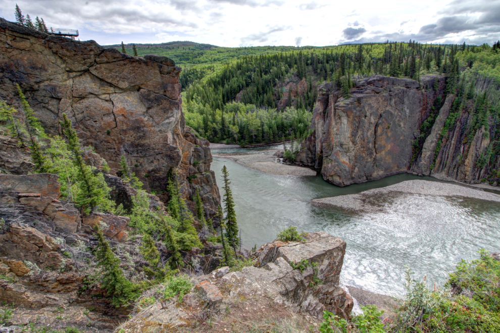
The Town of Grande Cache continues: “A short 3 to 5 minute walk brings you to a series of platforms built on the cliffs that overlook the confluence of the Smoky and Sulphur Rivers. The last platform is a bit challenging for footing, but does have the best views.” There are 3 platforms – the highest can be seen in the next photo.
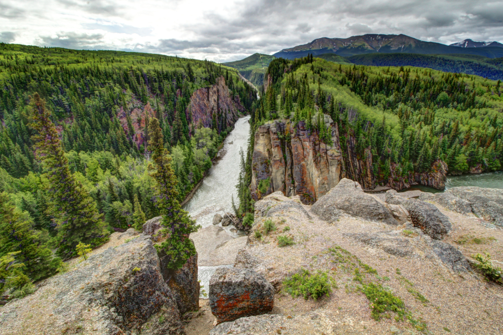
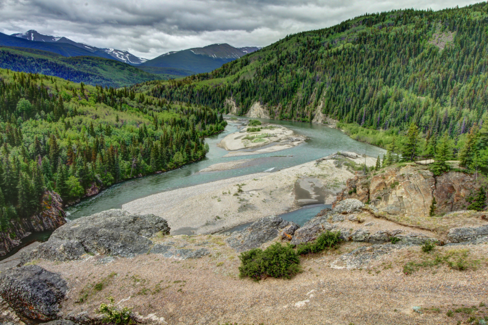
The canyon of the Sulphur River appears to be very impressive for some distance upstream of its meeting with the Smoky River. The cliffs at the confluence are said to be 75 meters (246 feet) high.
Looking up the Smoky River into the Willmore Wilderness Park from the highest platform.
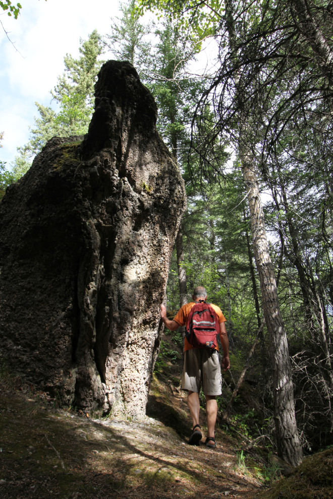
From near the upper viewing platform, I saw a small trail that I thought may lead down to the river. It didn’t, but it did lead me past some wonderful rock formations and more high cliffs.
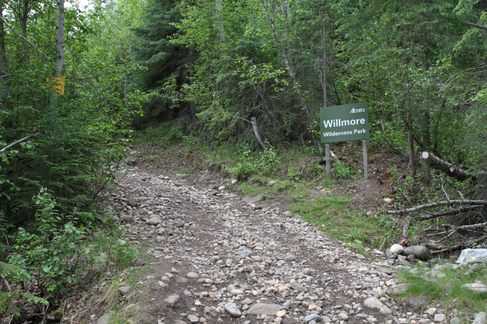
By 10:00 I was ready for Eaton Falls, summarized on the trail map as a “day hike” even though it’s only 6 km round trip. A little more than 10 minutes along the old road, you cross into Willmore Wilderness Park.
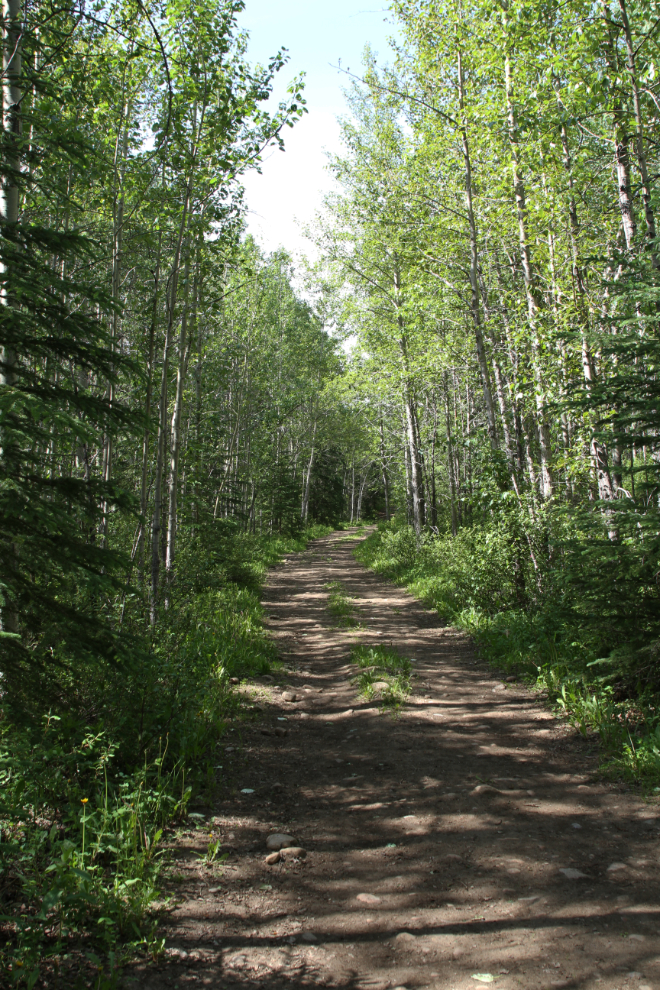
There are some rather grueling climbs on the road, but most of its is very pleasant walking. The trail map says that “the trail is wide and open, offering plenty of views to take your mind off your efforts.” Ummmm – no. The trail is in the forest all the way, and a short side trail leads to the only view, which is nothing special.
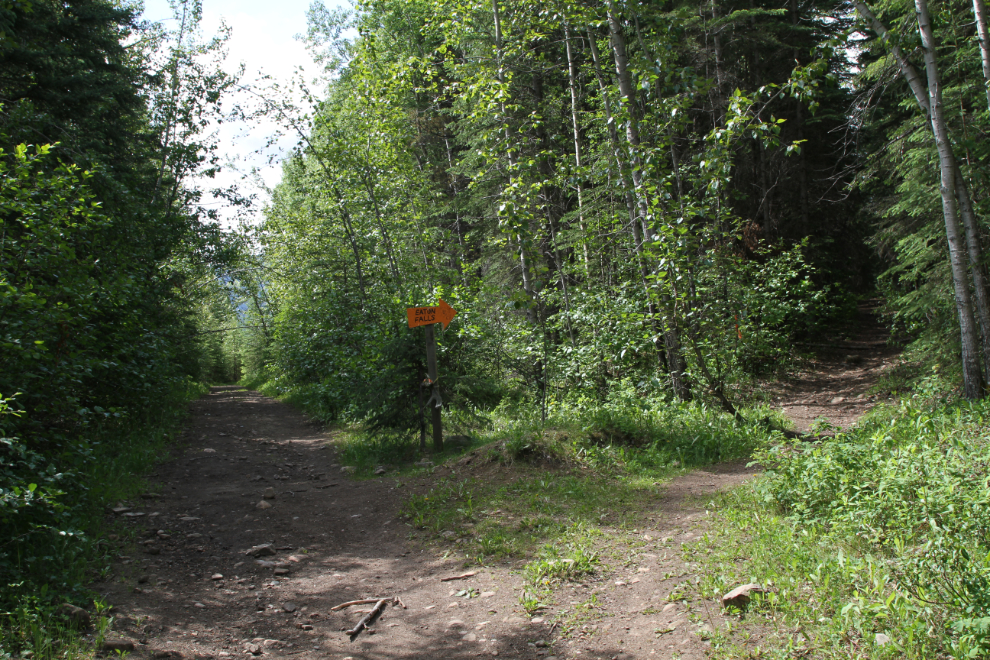
Right at 11:00, I reached the sign marking the side trail to Eaton Falls.
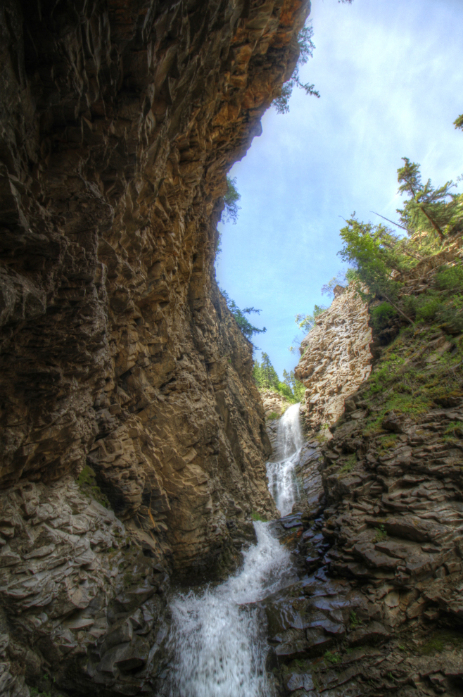
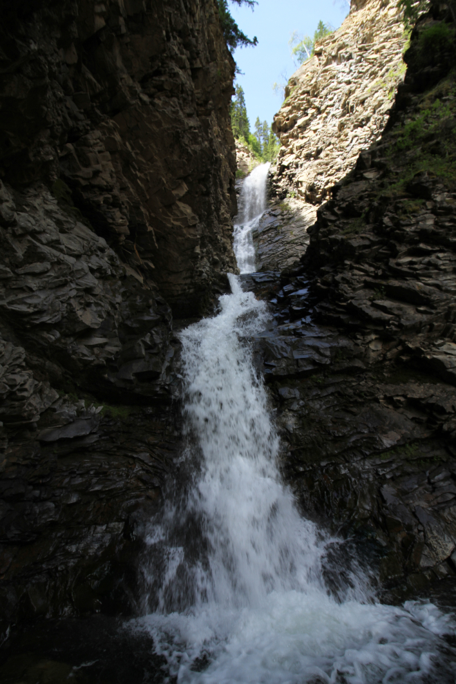
Nothing I had read prepared me for the first sight of Eaton Falls. I haven’t been able to find a height on it, but I would guess about 80 meters (262 feet).
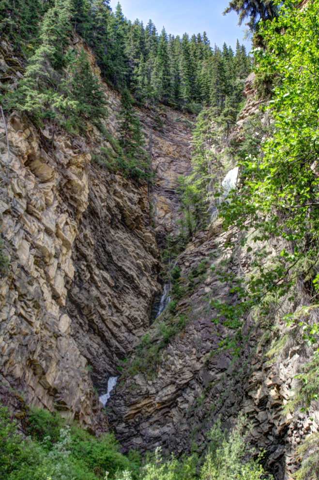
The tight canyon, which is dramatically cut away and curves over your head, offers a very limited view when you get near the base of the falls. The trail map cautions hikers to not venture under the cliffs as rocks frequently dislodge from the loose, crumbly sedimentary rock, but under those cliffs is where the views are.
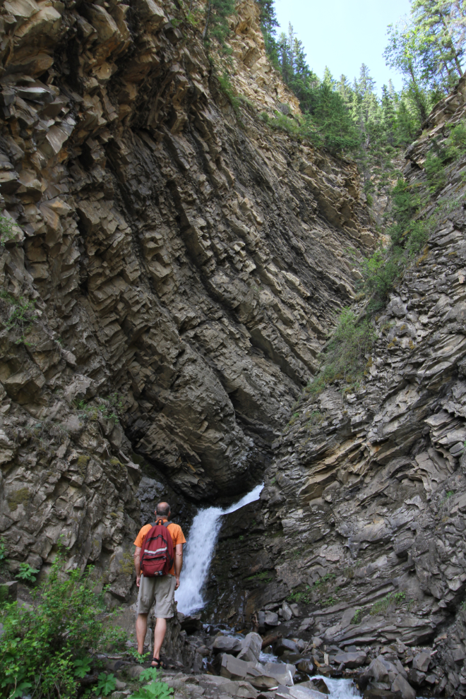
I think my jaw fell open when I walked around the final corner. O!M!G! The sight was absolutely overpowering, with the canyon wall curving overhead and the magnificent waterfall.
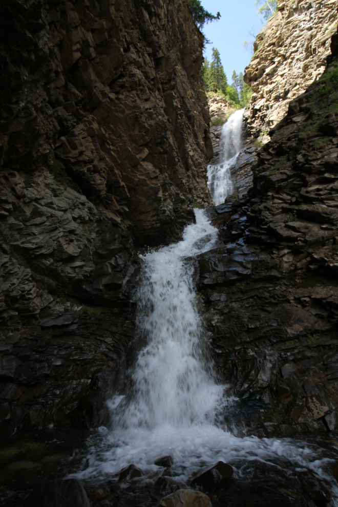
The next photo was shot looking straight up to try to show you how much the canyon wall curves. Most of the photos were processed as HDR images to bring out the textures in both the lighted and shadowed areas.
Ultimately, I don’t feel that any of the many photos I shot do justice to Eaton Falls. It’s one of the most powerful canyon/waterfall combinations I’ve ever experienced, but it’s one of those places you have to experience for yourself.
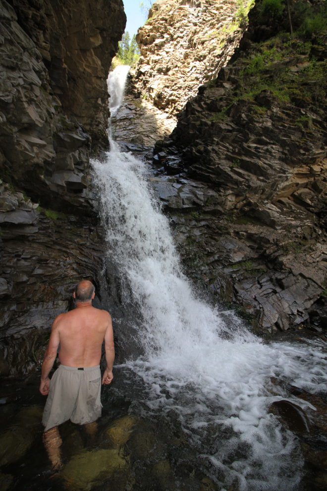
The footing wasn’t good, but I can seldom resist getting wet at places like this. It’s an important part of the experience for me.
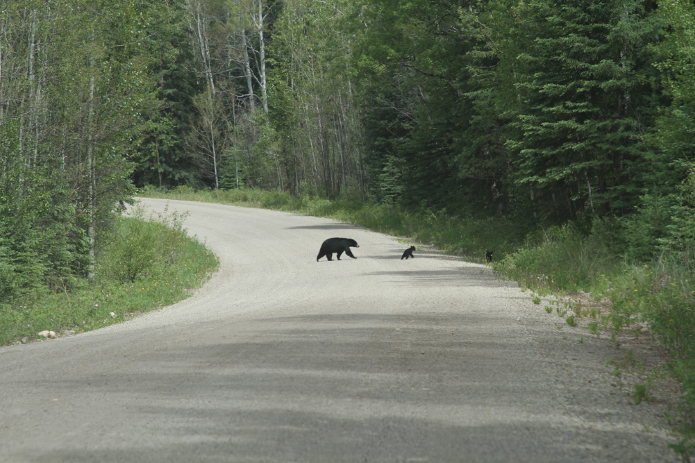
On my way out, I startled a moose, and he returned the favour with his crashing through the bush. This is definitely bear country, and on the hike I did a lot of thinking aloud to warn them that I was there. I didn’t see any bears until a couple of minutes down the road in the car. This black bear momma and twins would certainly not have been happy to meet me on the trail.
I had another waterfall hike planned, but didn’t see the road as I drove north on Highway 40, and the motorhome doesn’t allow U-turns for another look.
The next stop would be Tumbler Ridge, and as I headed in that direction I had no idea where I would overnight. When I asked the woman at the Grande Cache visitor information centre about whether the Highway 52 access to Tumbler Ridge was signed, she said that she didn’t think so, but also said “you don’t want to go that way – it’s very rough.” “Oh yes I do.” 🙂 So she printed a map off for me that showed the Highway 671 connection to it from north of Beaverlodge.