Sambaa Deh Falls Park (NWT) to Yellowknife by motorcycle
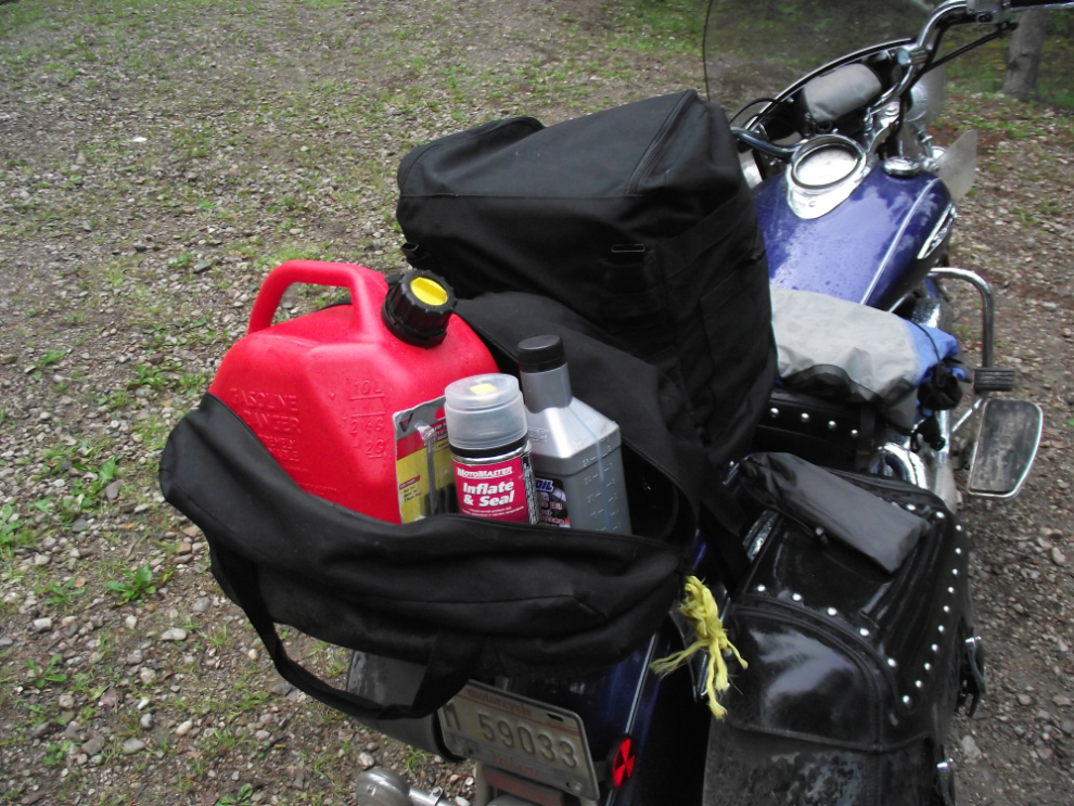
The rain had almost stopped by the time I got out of my tent at Sambaa Deh Falls Park. Before leaving I got to use one of the large extra bags I’m carrying. Topping up my fuel here would get me to Fort Providence with no problem. It’s 322 km from Fort Simpson to Fort Providence, and there’s no fuel between – that’s well beyond the range of my combined tanks.
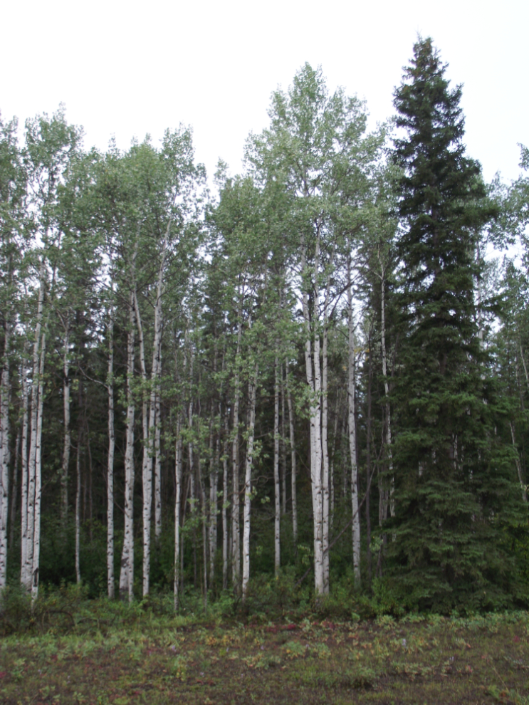
The forests in this area are beautiful, extremely varied compared to what we have in the Yukon. This was shot at Km 312, near Morrisey Creek, at 8:40 am.
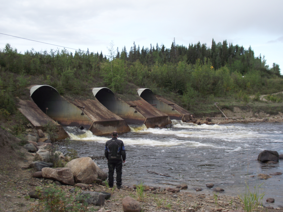
The Redknife River runs through an impressive set of culverts.
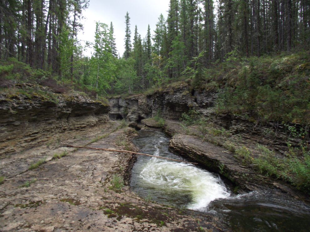
Wallace Creek was a gift. I got a split-second glimpse that this might be an interesting stop, so pulled in. A very small but very scenic waterfall made the stop worthwhile, but walking down the creek I discovered a spectacular canyon. Rushing through this country is just not a good idea!
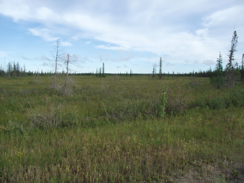
Open tundra at Km 234.
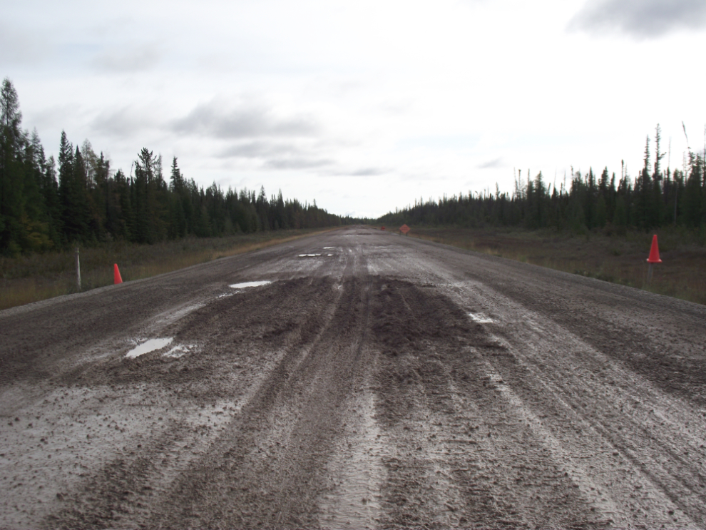
I thought that reaching pavement would be a relief, but not so much. When the signs say “Pavement Breaks Ahead” they aren’t kidding!
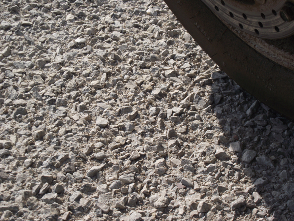
This closeup of the chipseal shows you why motorcycle tires only last about 7,000 km here – those sharp little rocks may give good traction but they sure tear the rubber up.
Just before noon I stopped at Dory Point Park for a few minutes. Lovely, but there were thick clouds of bugs!
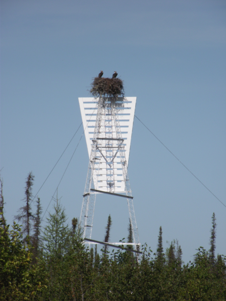
I hadn’t seen an osprey nest since leaving Vancouver many years ago.
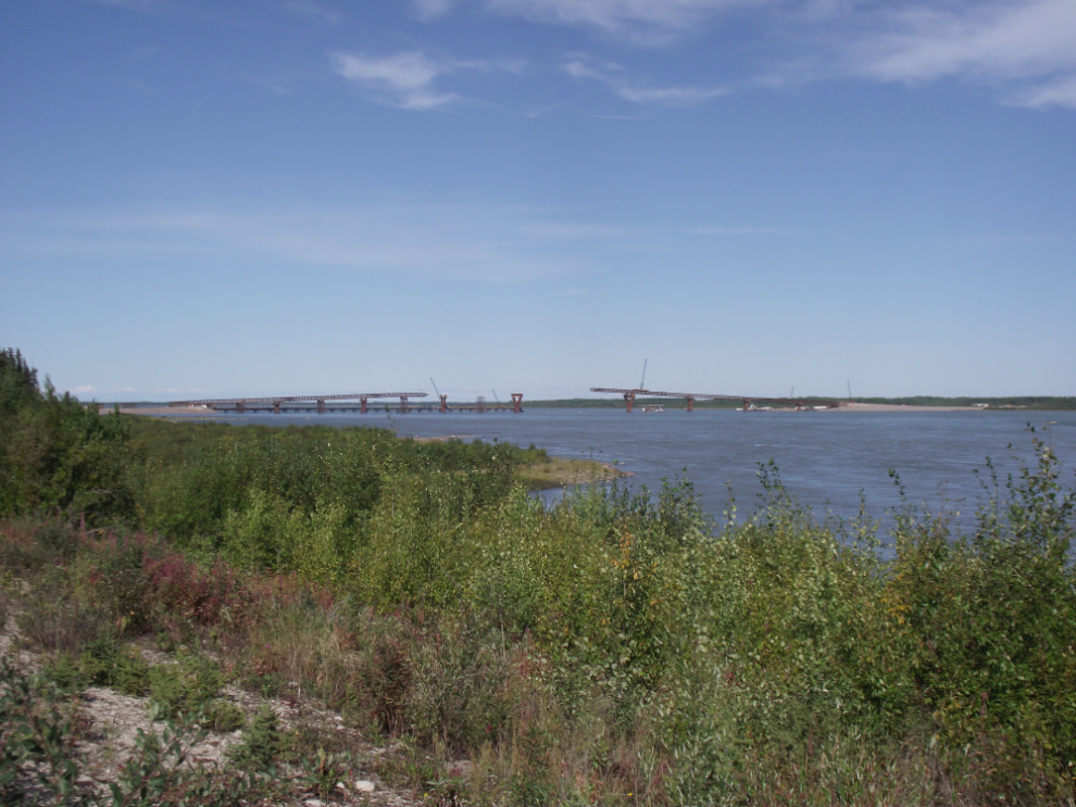
I never thought I’d see the Mackenze River bridged, but here it is, the Deh Cho Bridge!
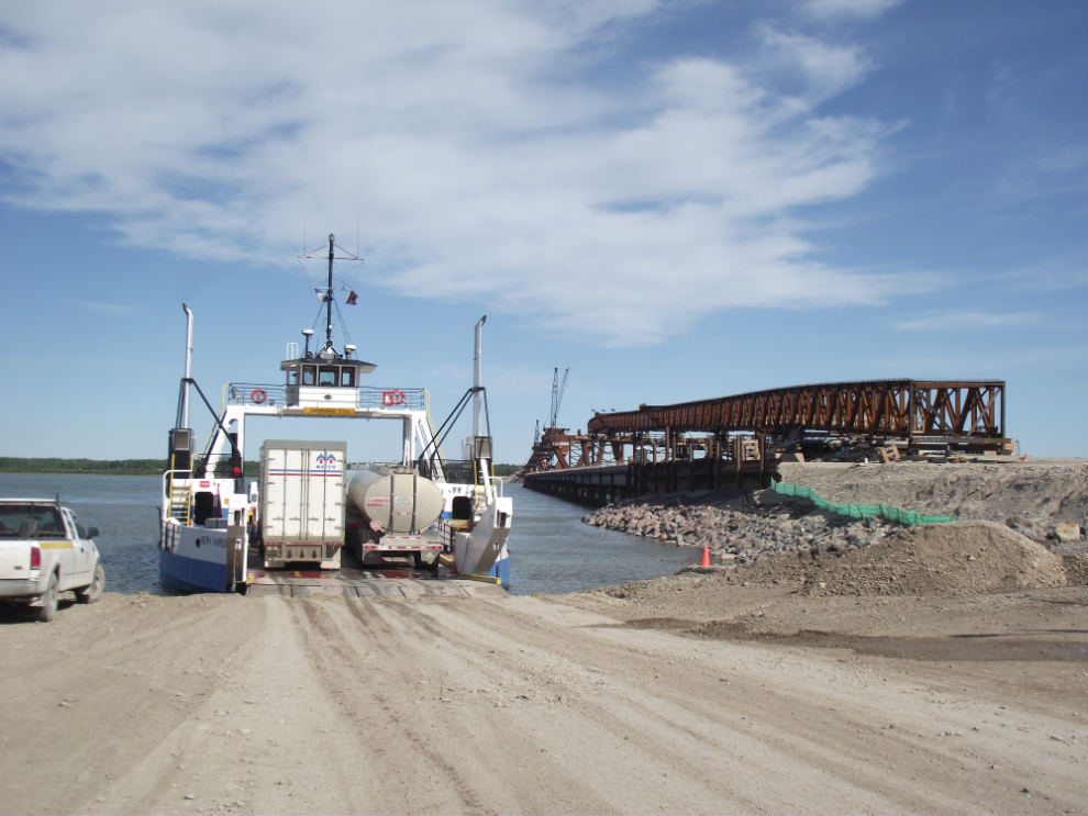
The old and the new. The traffic does seem to be at the limit of what one ferry can handle.
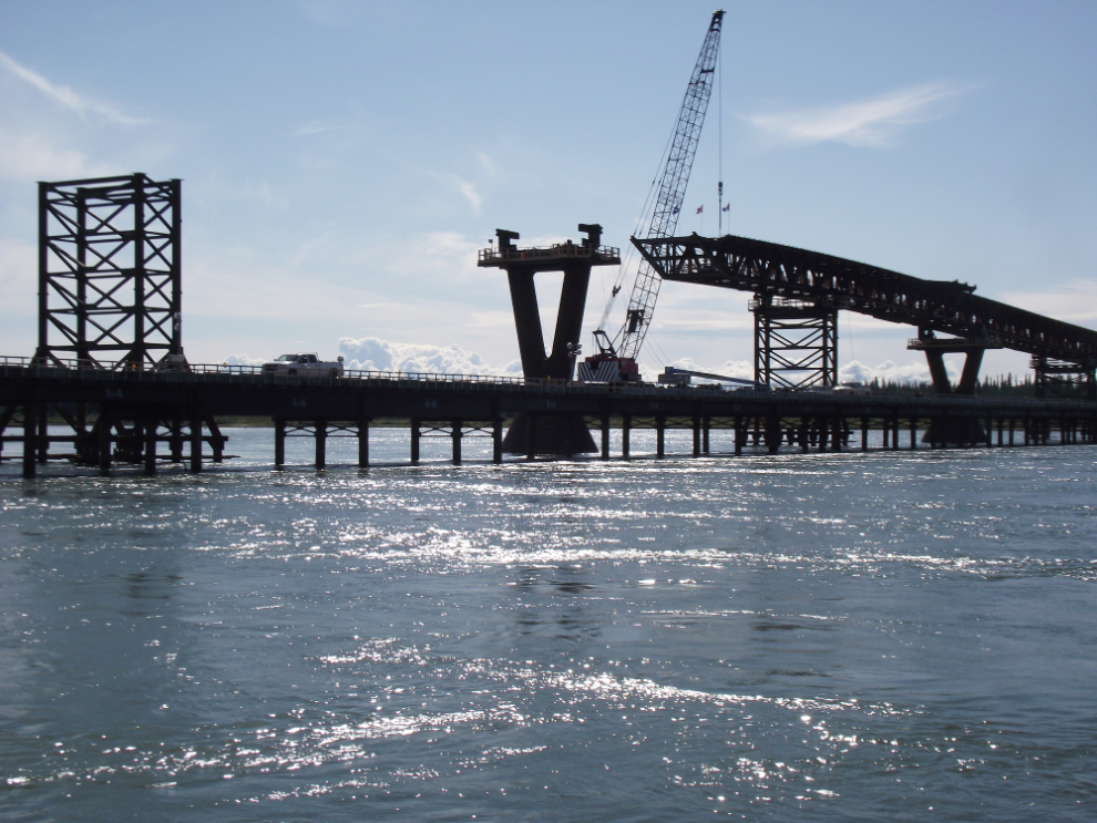
The Deh Cho Bridge from the ferry.
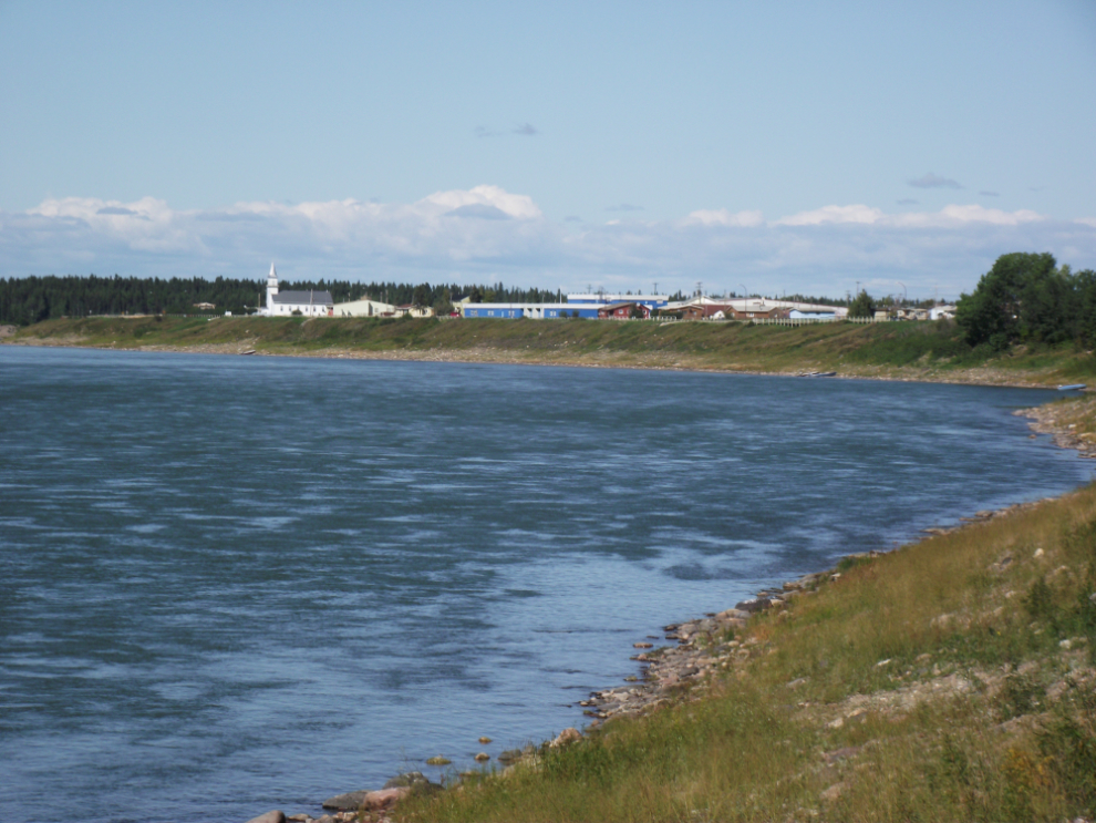
My first view of Fort Providence. This is a particularly nice looking community – modern and clean in a beautiful location.
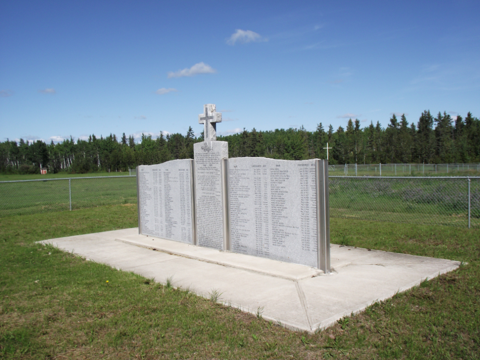
I found this memorial to be very moving – it marks the approximate location of a cemetery that was used by the residential school from 1868 until 1929. In 1948 the area was ploughed over to be used as a potato field! Prior to that, though, the remains of 8 missionaries were dug up and moved to a new cemetery. Most of the burials here were of children.
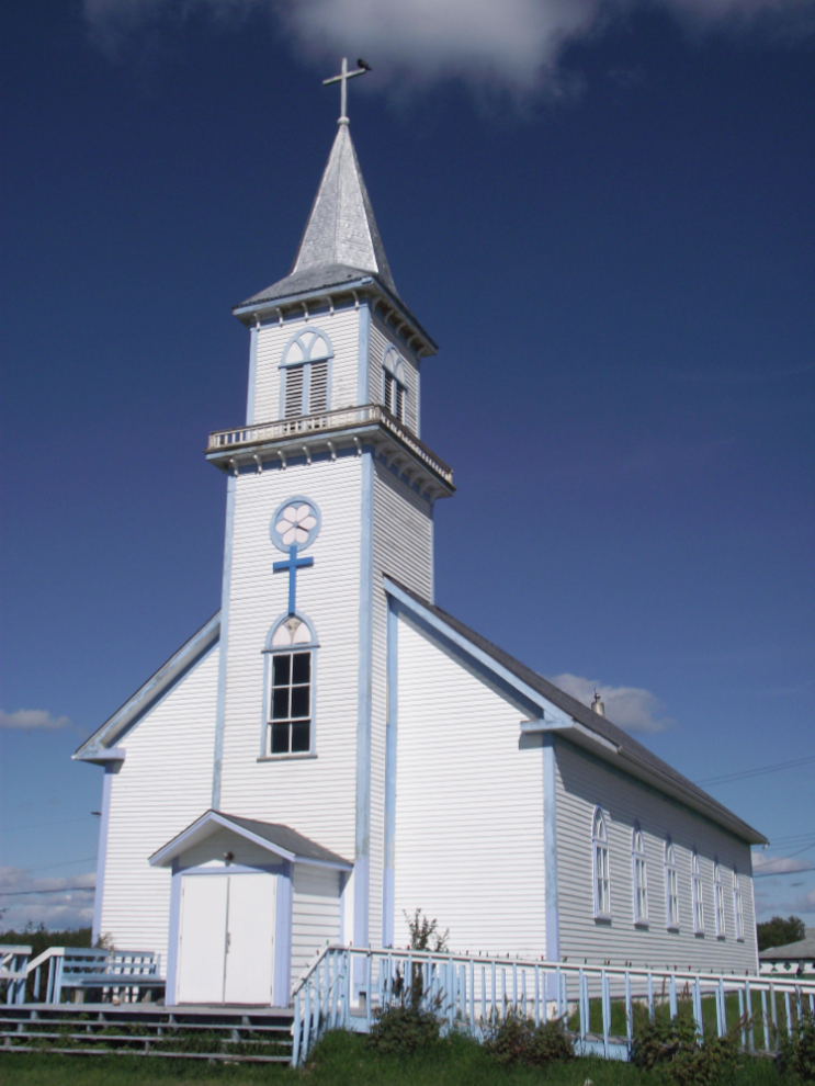
The Catholic church.
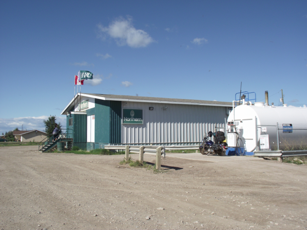
Fuel and groceries area available at The Northern Store, and I also had a good lunch next door at the Snowshoe Cafe.
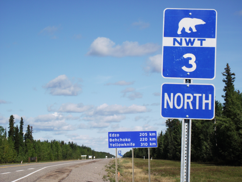
On Highway 3, the Yellowknife Highway, at 2:35 with 310 km to go to Yellowknife.
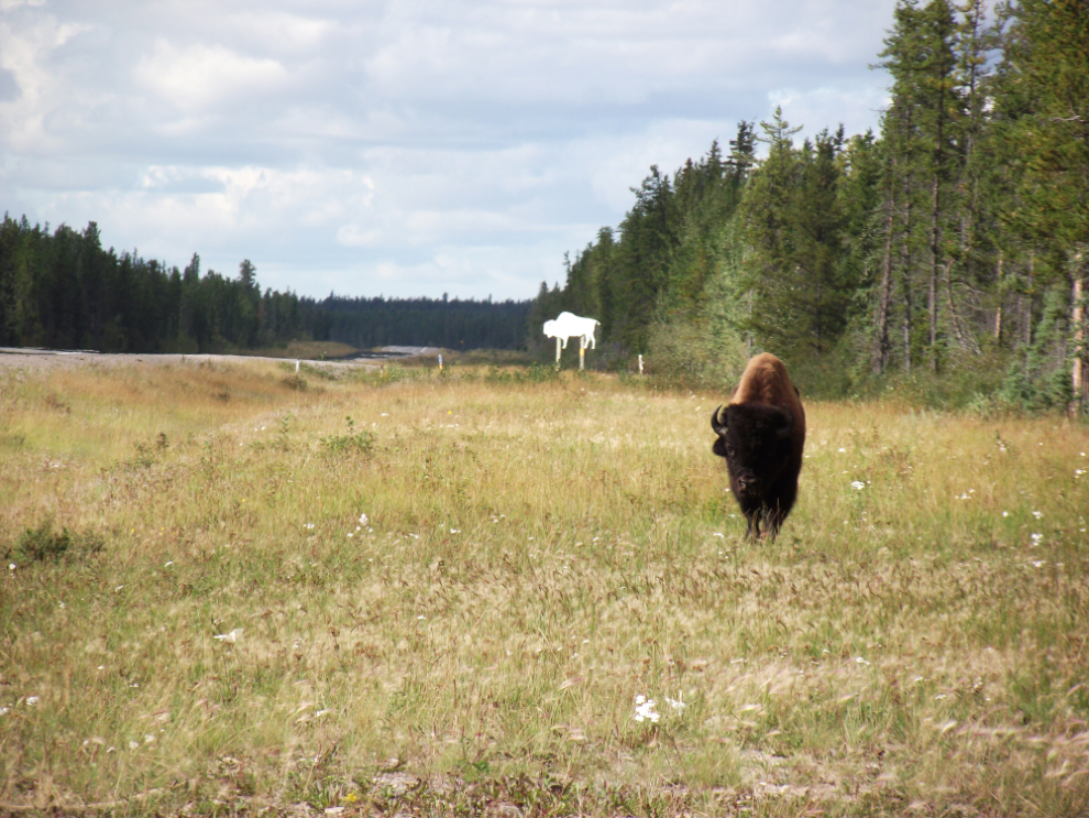
I saw a lot of signs warning about bison, but this was the only animal I saw.
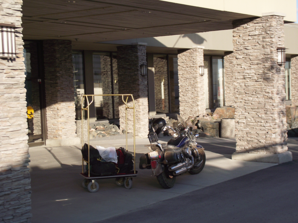
It felt good to be able to put my gear on a cart at a nice hotel at the end of this day. I’d picked The Explorer because it was the only one of the 3 that were recommended by a friend who spends a lot of time in Yellowknife that had a room available.
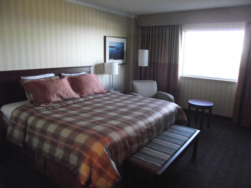
Room 605 – very nice.
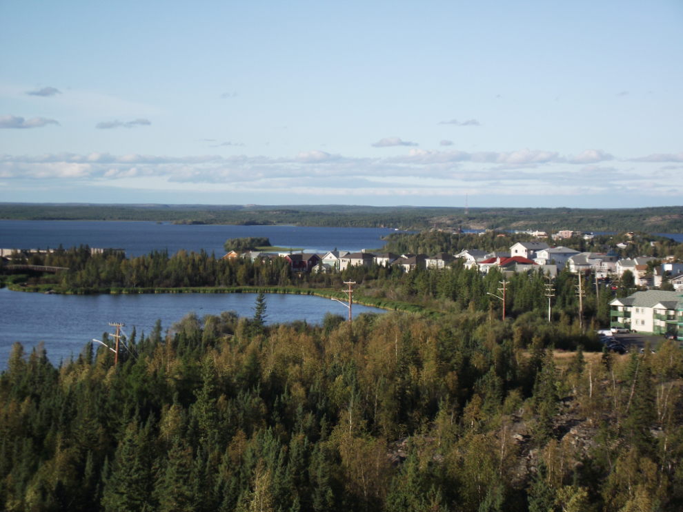
The view from my room at 7:30 pm.
I wanted a beer and simple dinner and expected that the hotel lounge would be perfect. The service, however, wasn’t bad, it was simply nonexistent so I walked into town and eventually found an excellent little lounge called “twist”, with live music (and great service).
This trip from Whitehorse to Yellowknife and back is covered in 9 blog posts with a total of 221 photos:
- Whitehorse to Fort Nelson (10 photos)
- Fort Nelson to Fort Simpson (27 photos)
- Fort Simpson to Sambaa Deh Falls Park (18 photos)
- Sambaa Deh Falls Park to Yellowknife (21 photos)
- Exploring Yellowknife (24 photos)
- Exploring the Ingraham Trail at Yellowknife (22 photos)
- From Yellowknife to Hay River (30 photos)
- Hay River to Manning, Alberta (29 photos)
- Manning to Whitehorse (40 photos)