Fort Nelson, BC to Fort Simpson, NWT, by motorcycle
This is going to be a brief post – at least brief text because I have to be going shortly to catch a plane to Virginia Falls.
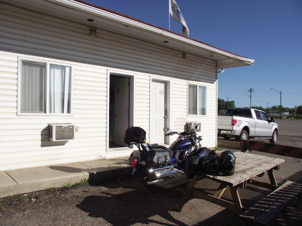
This photo shows you why I stayed at the Blue Bell in Fort Nelson – can’t get much more convenient than that for unloading and re-loading the bike!
Back-tracking north on the Alaska Highway, I turned north on to the Liard Highway, which begins as BC Highway 77. It was exciting to finally be on this road. Each of the many dozens of times I’ve driven up or down the Alaska Highway past that junction, I’ve wondered what’s up there.
Looking back down the Liard Highway towards the Alaska Highway.
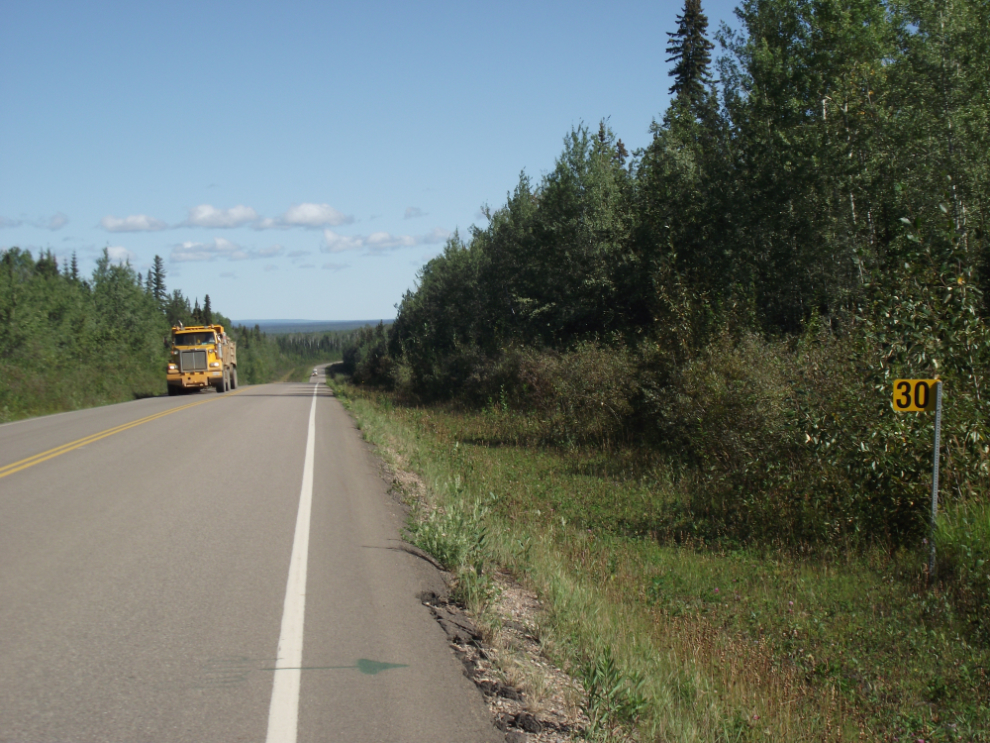
Looking north at Km 30 of BC Hwy 77.
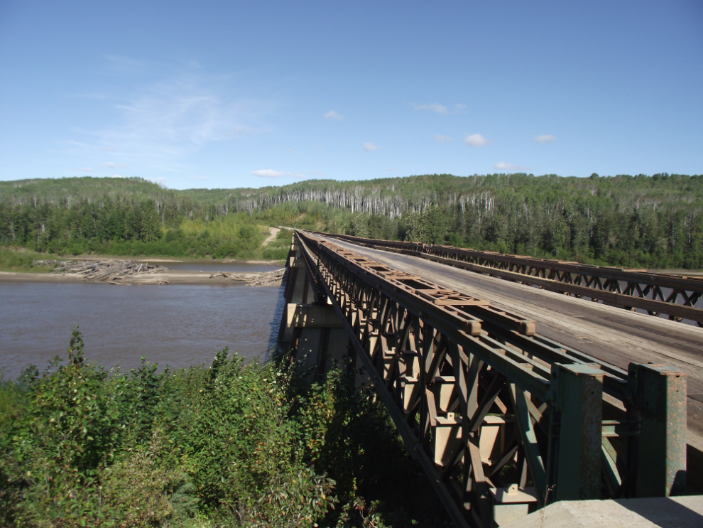
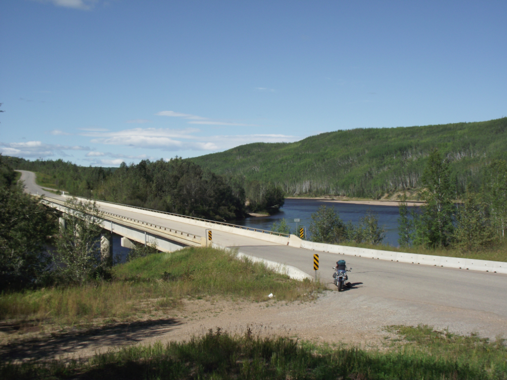
A 1-lane Bailey bridge across the Fort Nelson River at Km 42.7 is the longest Bailey bridge in the world, at 430 meters (1,410 feet).
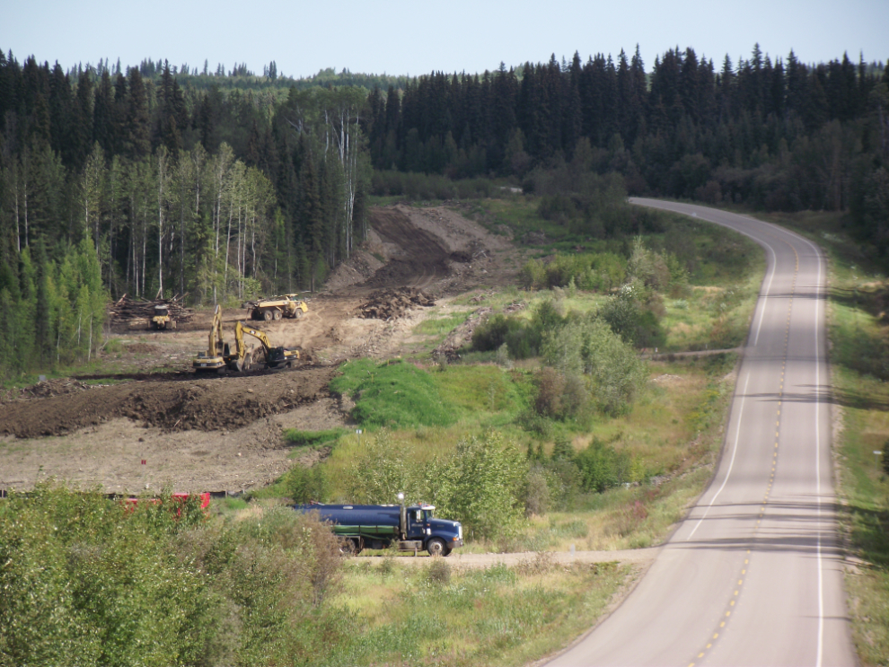
Construction of a new gas pipeline. Whitehorse may be a boom town, but the amount of money changing hands in this country is incredible.
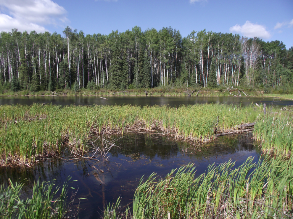
A pond along the Liard Highway.
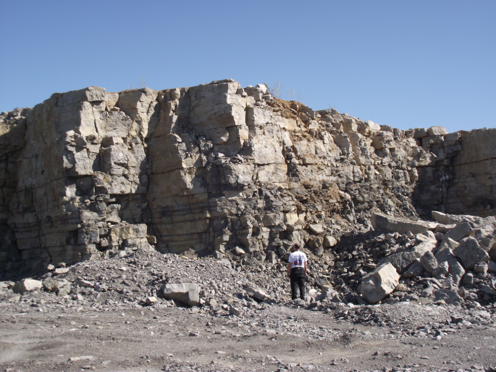
This quarry allowed a good look at the sort of rock formations that exist where natural gas is found.
The Petitot River Bridge. The Liard Highway was officially opened here on June 23, 1984.
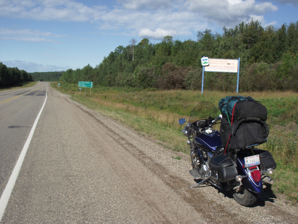
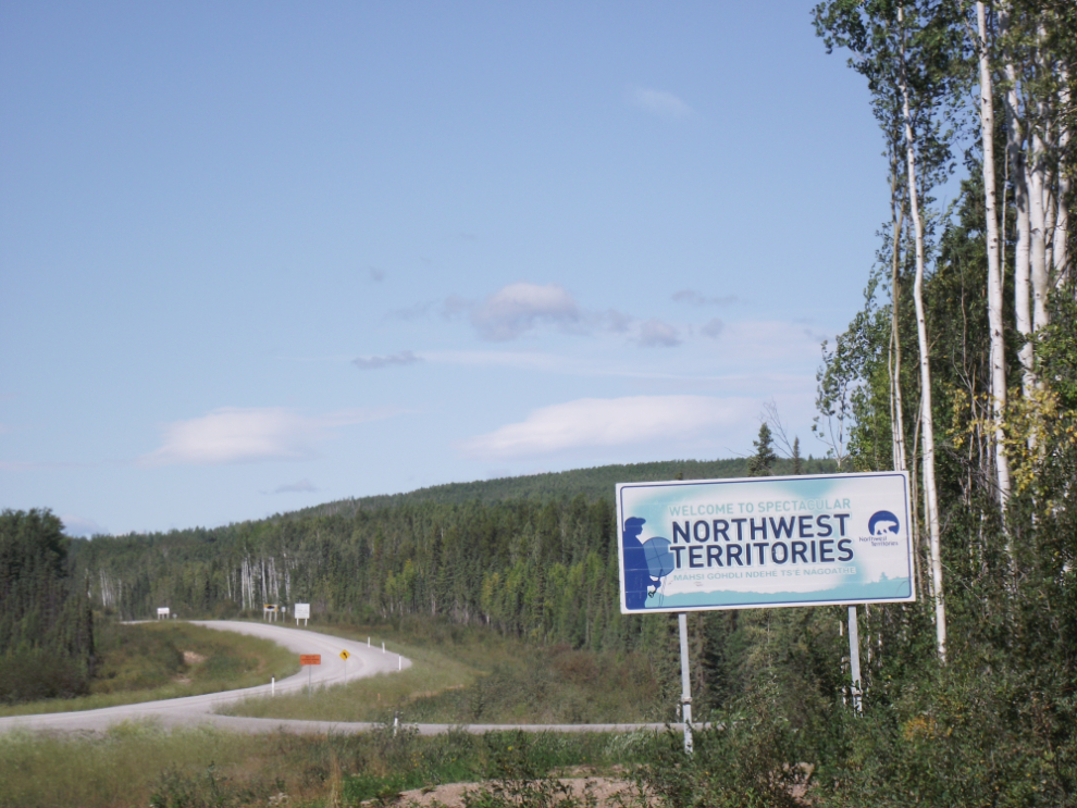
Welcome to the Northwest Territories!
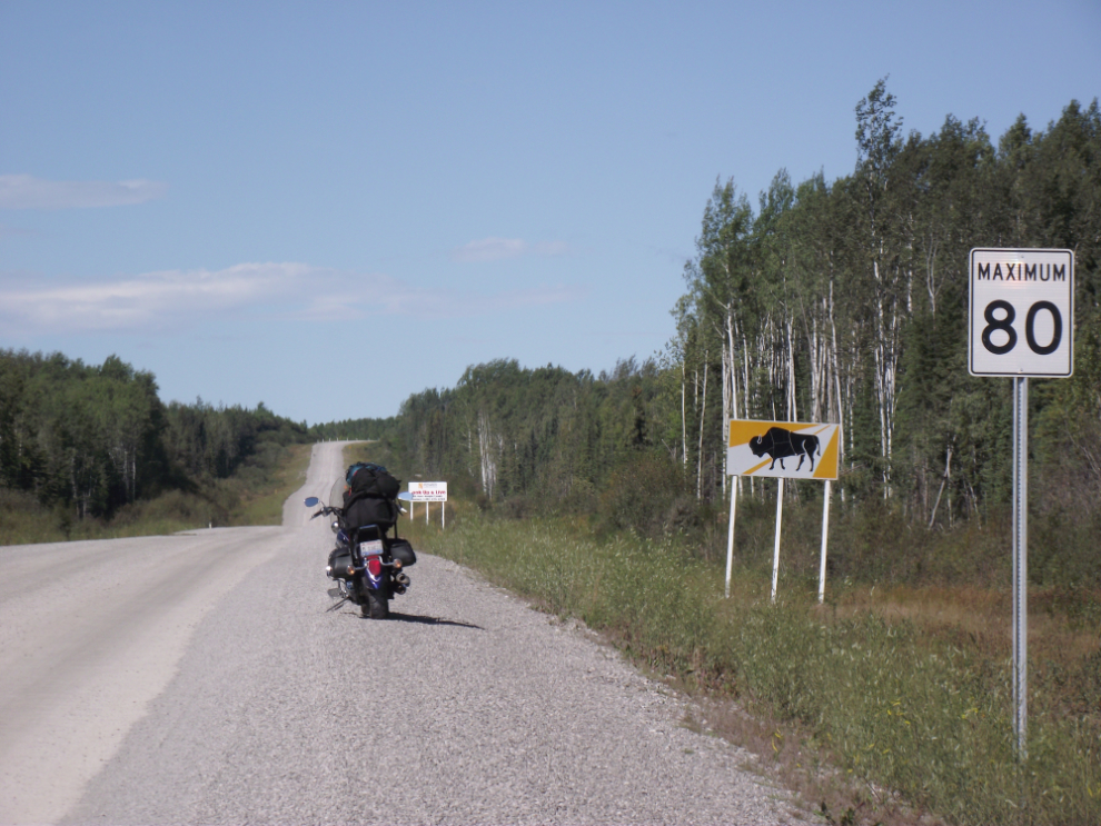
I occasionally hit 80kmh but not often! I certainly did see bison, though 🙂
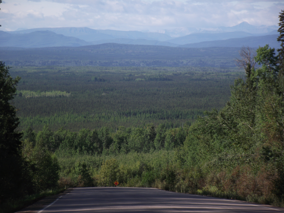
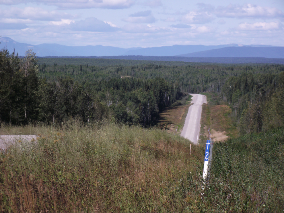
The view north at NWT Km 12. BC and the NWT use separate highway numbers (in the NWT the Liard Highway is #7) and milepost numbering.
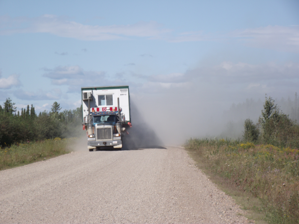
When a load like this comes along, all you can do is move over as far as possible, stop and wait for the air to clear. I met 3 of these over about an hour.
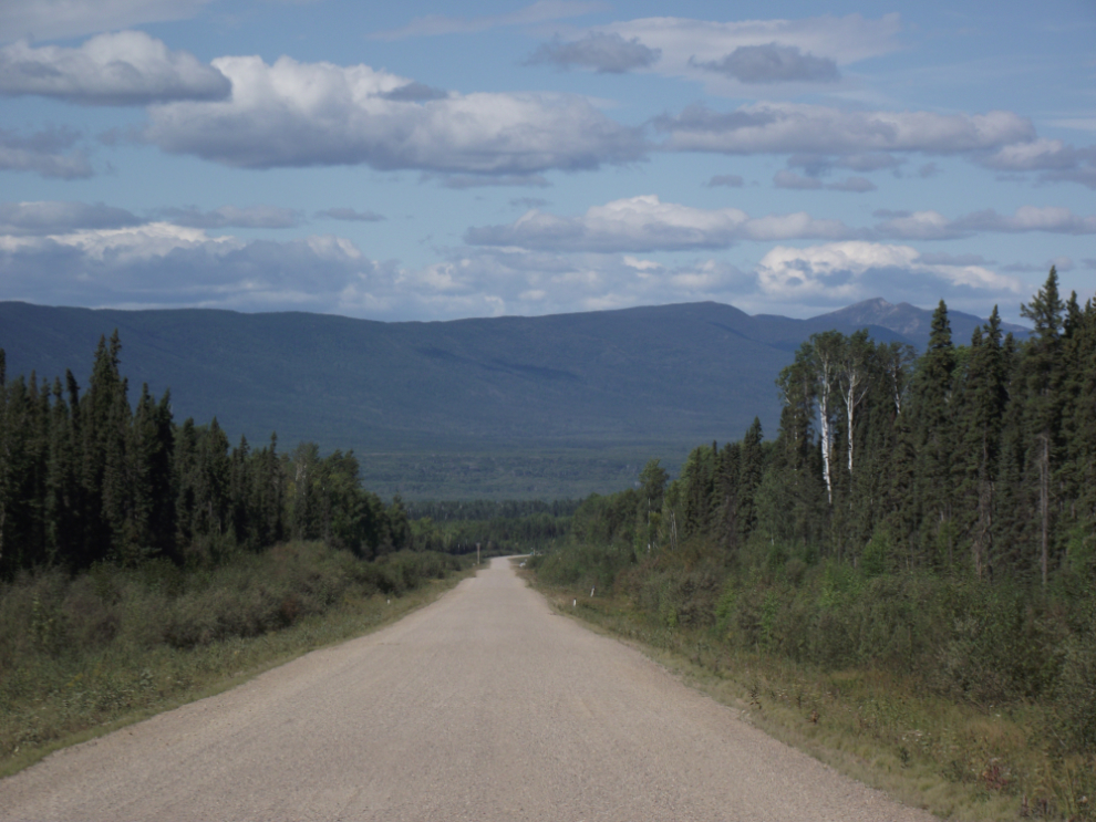
Looking north at Km 33.
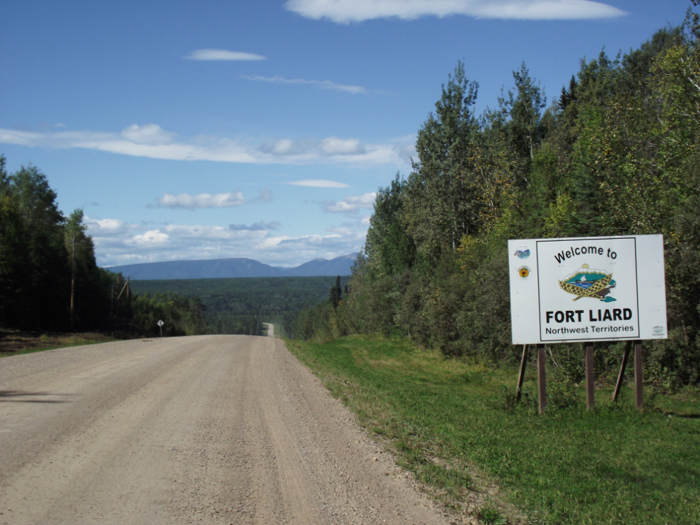
The side road to Fort Liard for fuel and lunch.
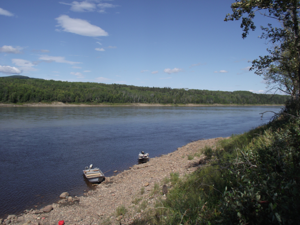
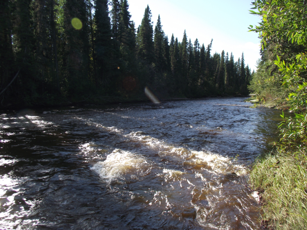
The somewhat clear water of the Petitot River mixes with the muddy water of the Liard River at Fort Liard.
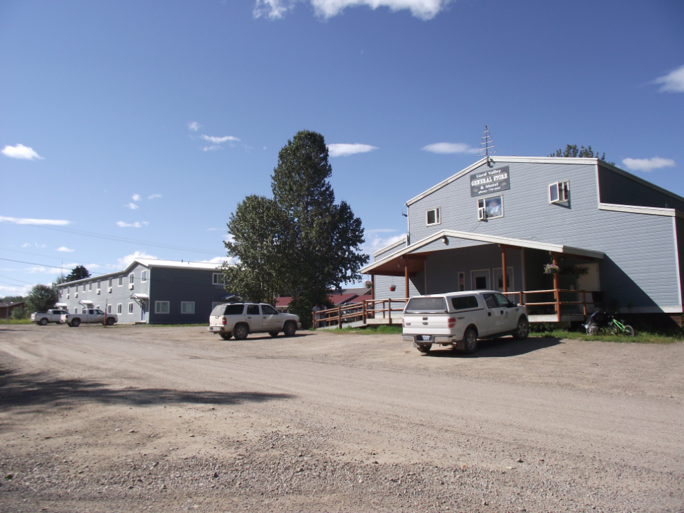
A large motel and one of 2 stores at Fort Liard.
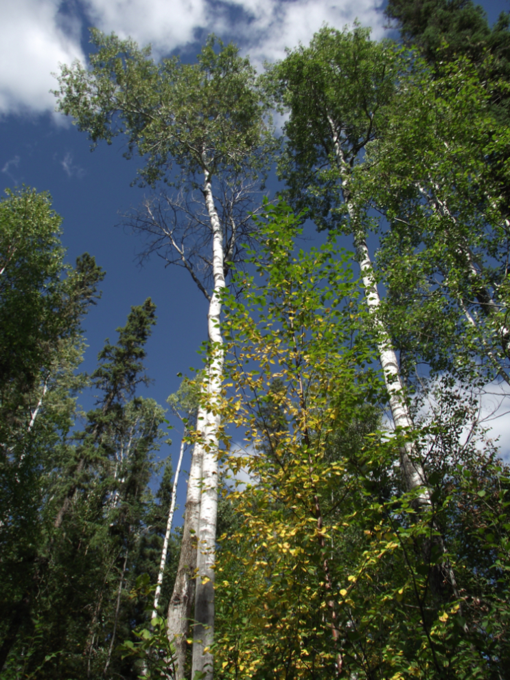
Large poplars at the Fort Liard cemetery.
The gravel near the Netla River was so deep and loose it was unsafe at any speed on a bike. I actually stopped to see if I was getting a flat tire!
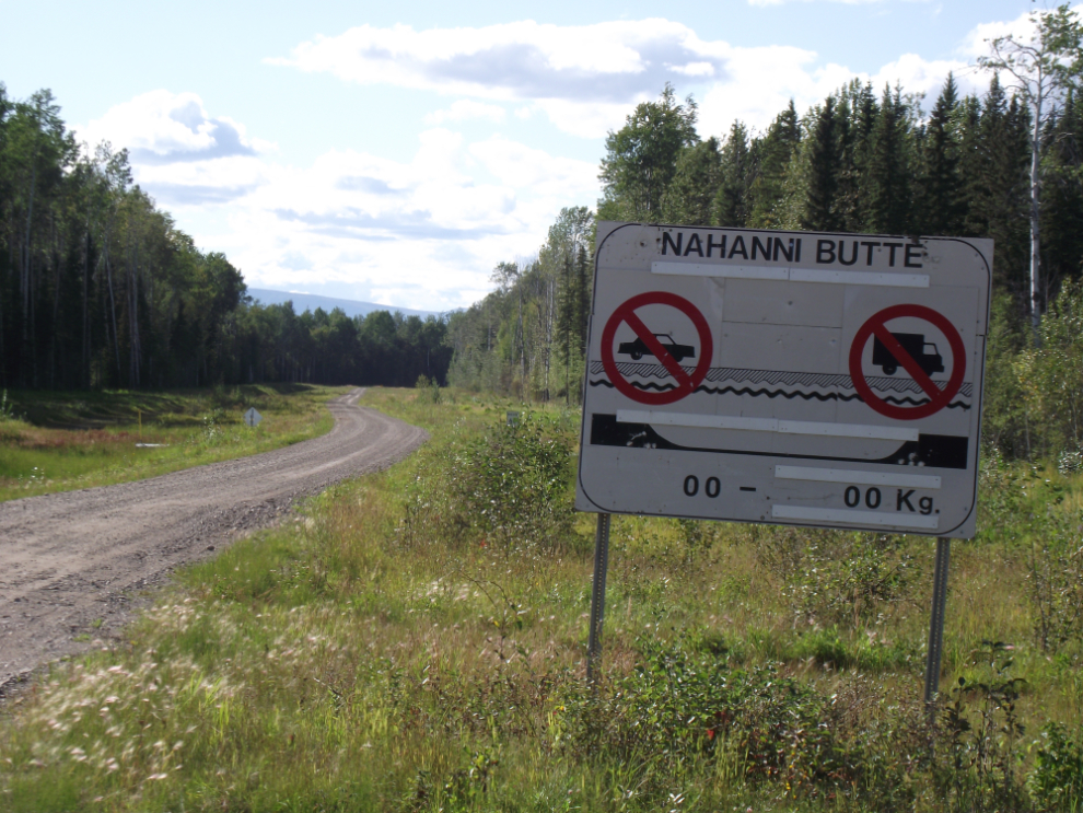
The access to the winter ice road to the community of Nahanni Butte.
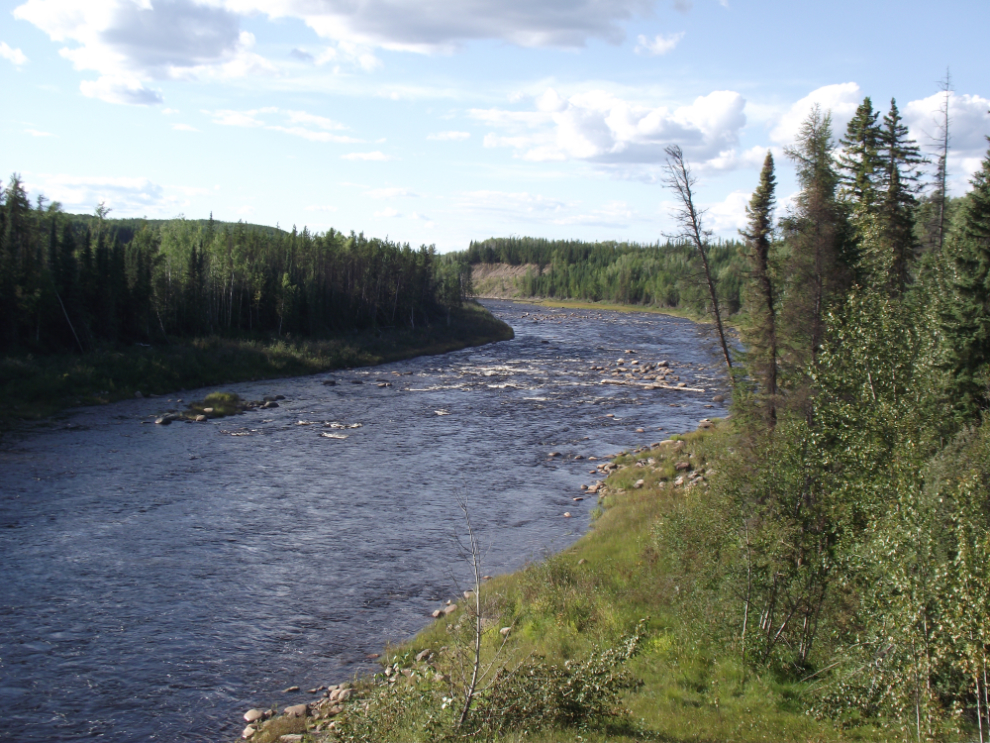
The Blackstone River.
The Poplar River.
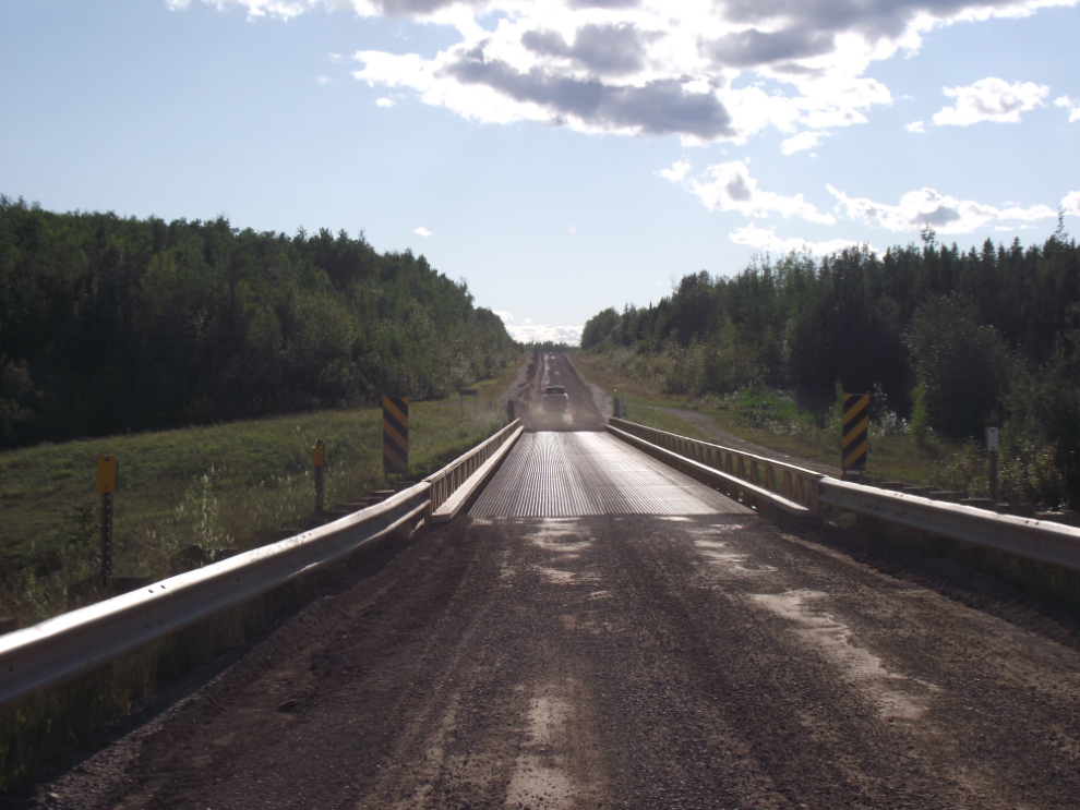
The Poplar River Bridge, another 1-lane metal-deck “singing bridge”.
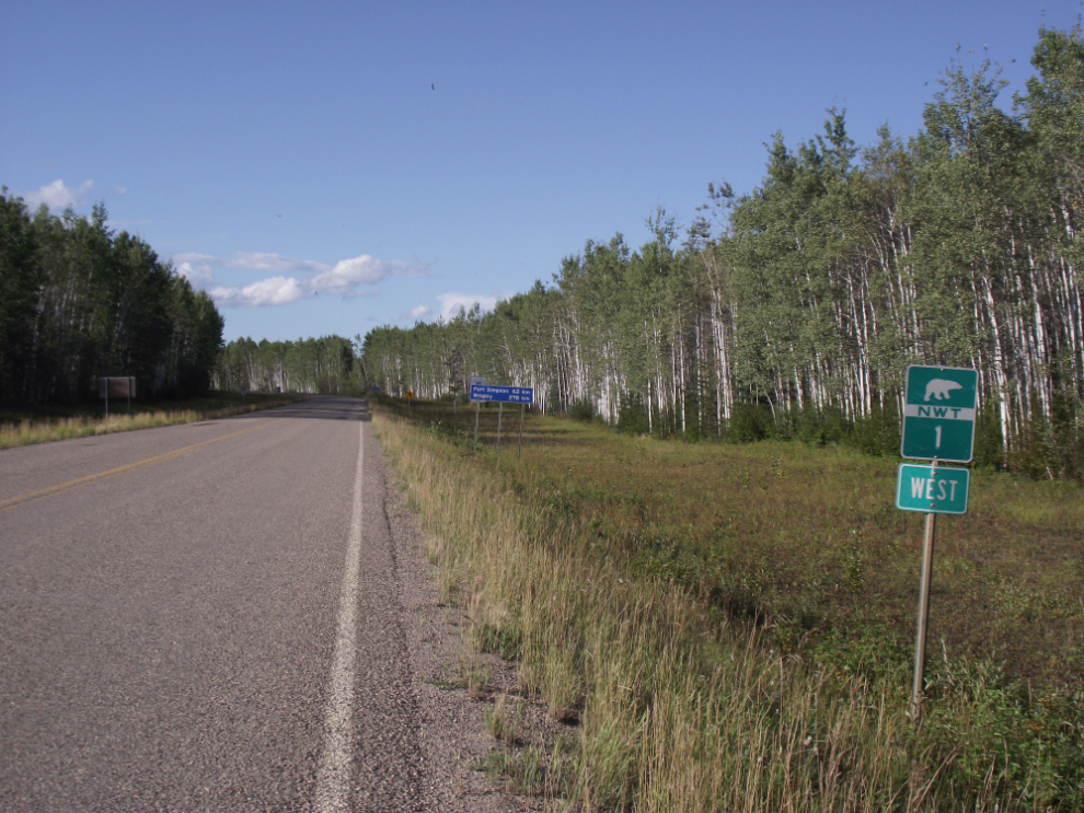
Back on pavement! I was now on NWT Highway 1, the Mackenzie Highway.
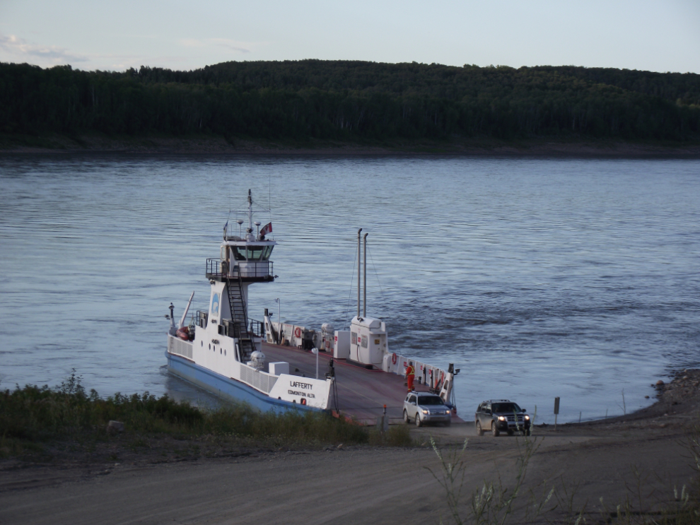
The ferry MC Lafferty took me across the Liard River.
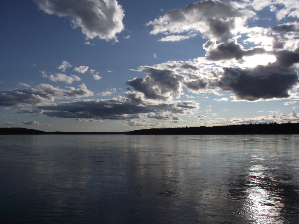
The Liard River from the ferry.
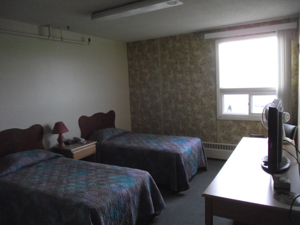
I had a heck of a time finding a room in Fort Simpson. I finally took the last room at the Nahanni Inn, at $150 plus $7.50 tax.
This trip from Whitehorse to Yellowknife and back is covered in 9 blog posts with a total of 221 photos:
- Whitehorse to Fort Nelson (10 photos)
- Fort Nelson to Fort Simpson (27 photos)
- Fort Simpson to Sambaa Deh Falls Park (18 photos)
- Sambaa Deh Falls Park to Yellowknife (21 photos)
- Exploring Yellowknife (24 photos)
- Exploring the Ingraham Trail at Yellowknife (22 photos)
- From Yellowknife to Hay River (30 photos)
- Hay River to Manning, Alberta (29 photos)
- Manning to Whitehorse (40 photos)