RVing down the Alaska Highway to Watson Lake
I haven’t done nearly enough hiking this summer, so last week I went looking for some sunshine to put a bunch of miles on. Two years ago, I discovered how incredible the adjacent BC provincial parks of Muncho Lake and Stone Mountain were, and the forecast down that way looked very good. On Wednesday, August 23rd, I drove the first 422 km (262 mi) to Watson Lake, did some exploring there, and camped at the Watson Lake Campground.
By 07:15, I was about ready to leave home, in a light rain. All the fur-kids came with me, but Cathy had to work.
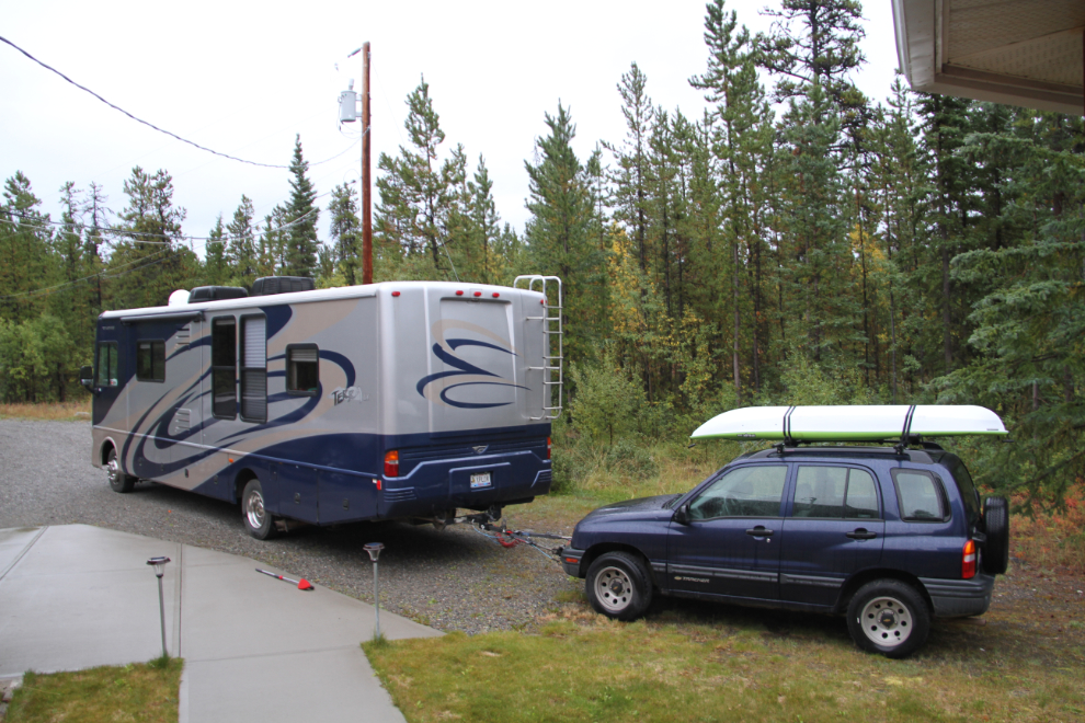
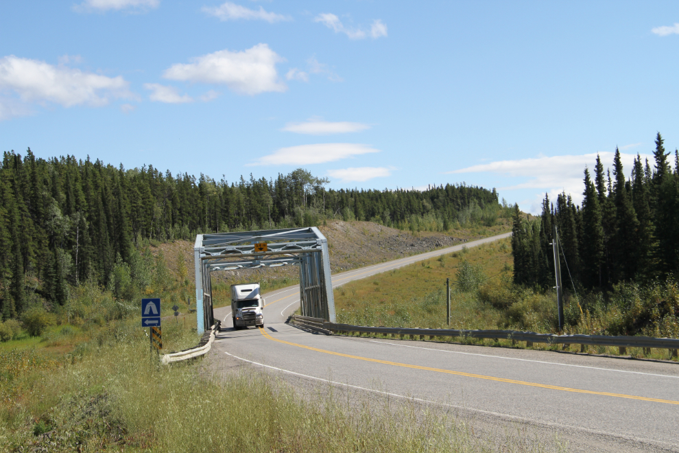
I had never been into the Big Creek Campground at Km 1042 of the Alaska Highway, so stopped in there for a look. The next photo shows the Big Creek Bridge right at the campground. I hadn’t expected to reach sunshine until well south of Watson Lake, but it was already beautiful.
There are only 15 campsites at Big Creek, 7 of which are pull-through sites. It has a very odd layout, with roads and campsites in a seemingly random pattern.
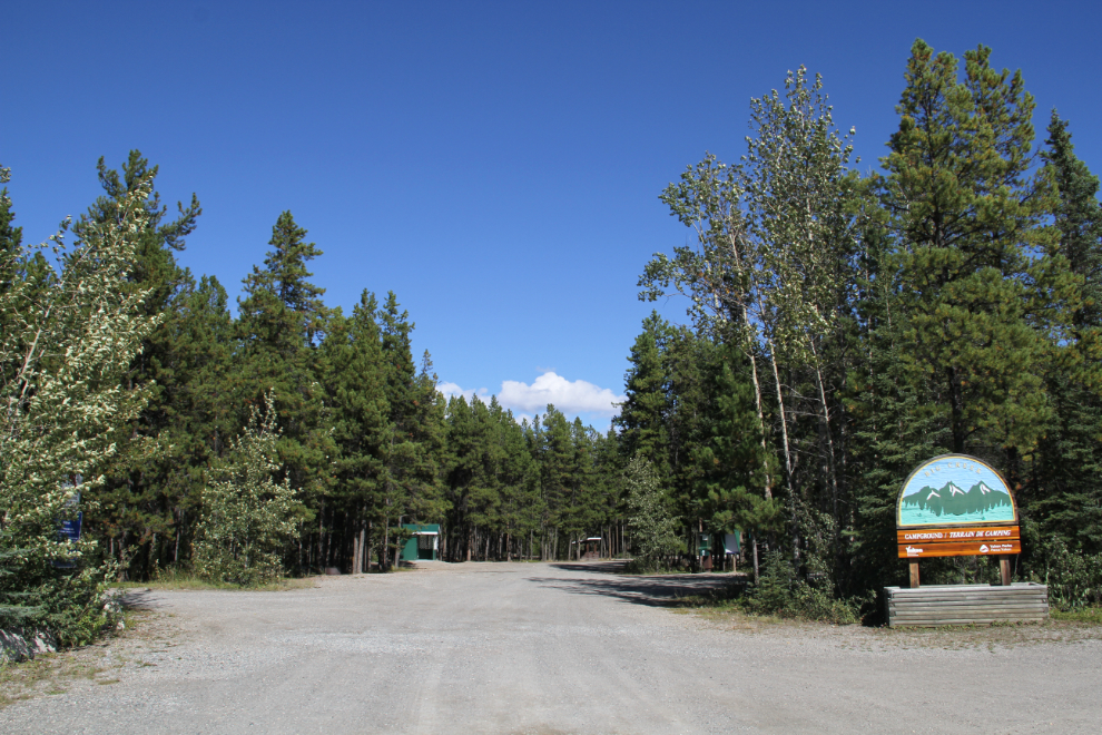
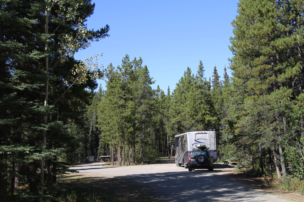
While the layout of the campground is odd, it’s very nice, with the large sites that can usually be expected at Yukon campgrounds. Some of the pull-throughs are just wide parts of the road, but will no doubt work for some RVers who are just overnighting.
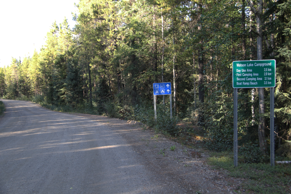
We had made a lot of stops along the highway and didn’t reach the Watson Lake Campground until about 2:30. It’s 5 km off the Alaska Highway just north of Watson Lake, and the gravel access road was pretty rough in places.
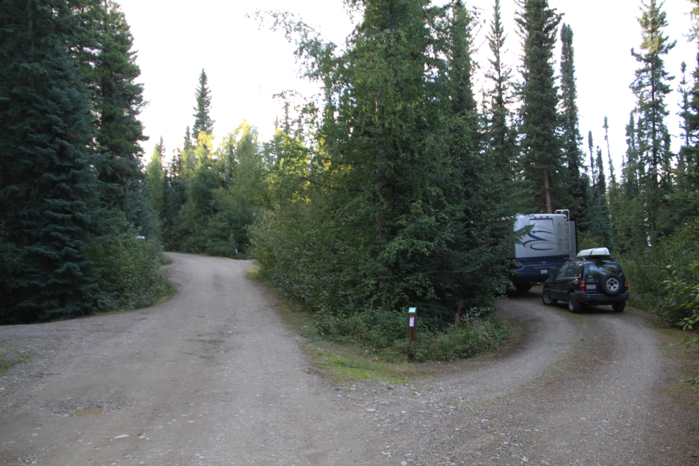
I set up in pull-through site #44. As is usually the case, it’s large, well-spaced, and fairly level. There’s a picnic table, and firepit, and a trail leads to the lake. The lake water level was so high that there was no beach – I don’t know if that’s the normal situation nor not.
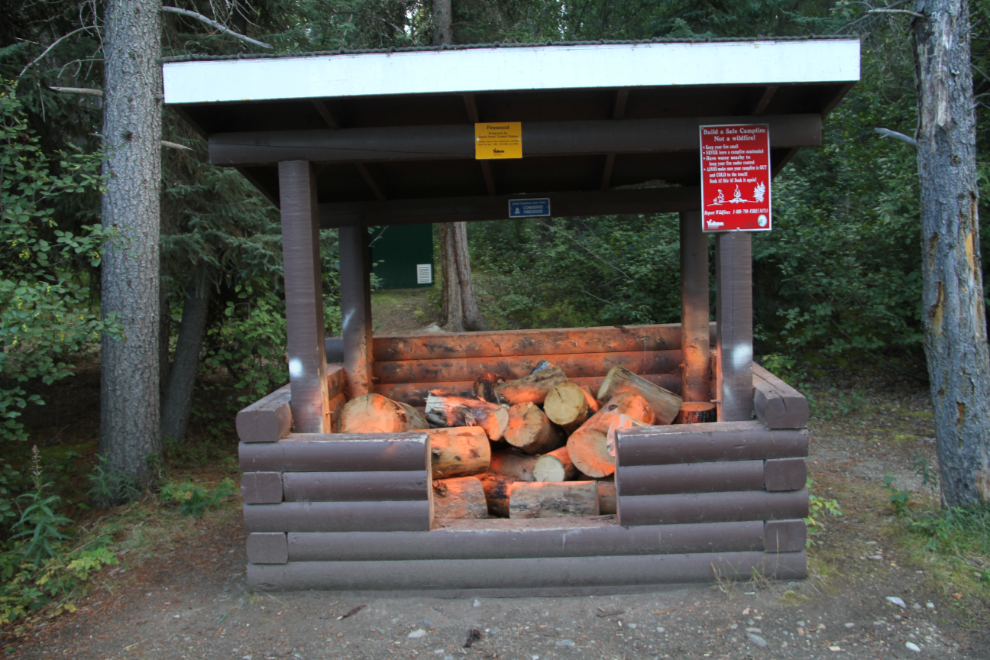
Apparently firewood theft is particularly bad here, as the park staff member who loaded the firewood box spent almost as much time painting each piece as he did moving it from the pickup truck.
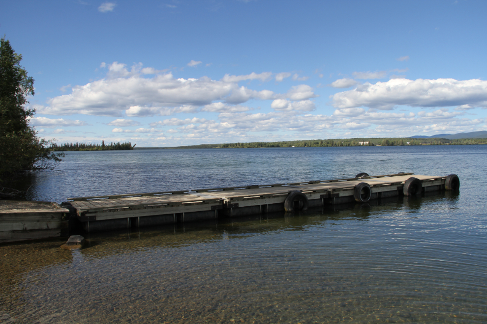
The boat launch and dock was a good distance from our campsite to be a dog-walking destination a couple of times, and Bella was immediately in the water both times. She doesn’t go swimming, just likes to get her feet and sometimes her belly wet 🙂
I noted on our walks, and when I drove out of the campgrounds, that some “Exit” signs would be really useful in navigating the maze of roads.
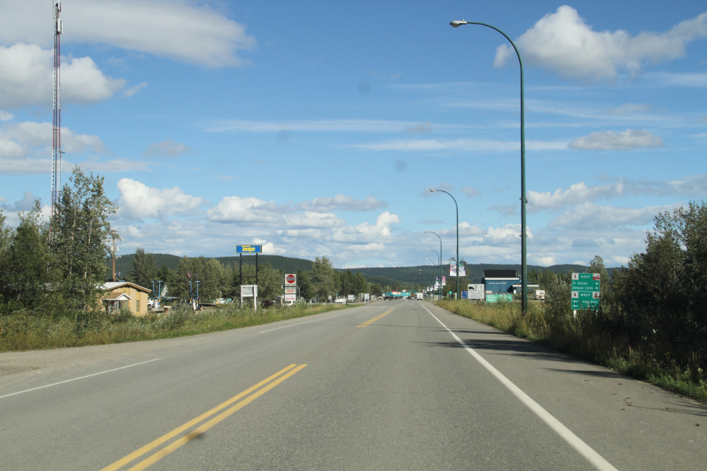
At about 4:00 pm, I drove the Tracker into Watson Lake. The next photo shows the start of the community on the Alaska Highway.
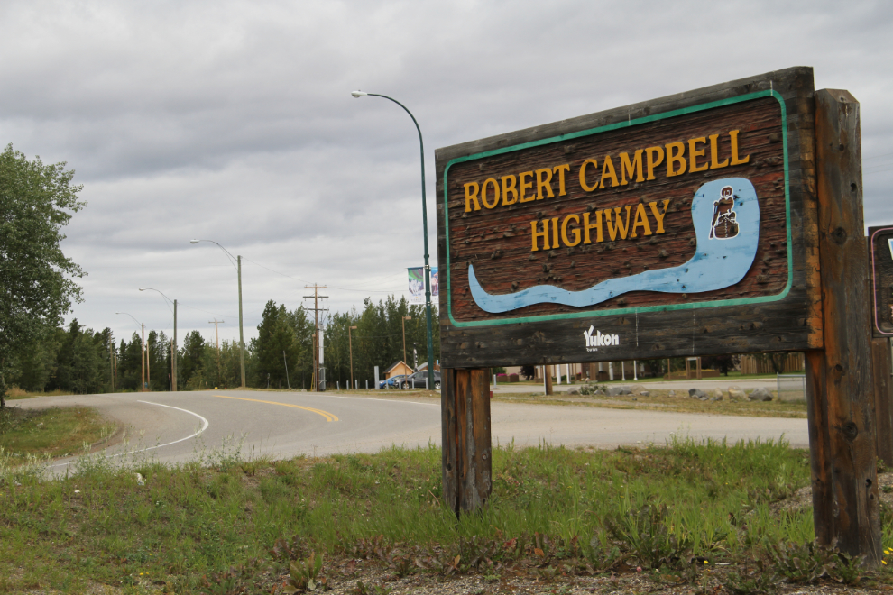
I stopped in at the Visitor Reception Centre to see if there’s anything new I needed to see, but already knew that my first destination would be the Watson Lake Airport, located north-west of town off the Campbell Highway (I took the next photo the following morning after it had clouded over).
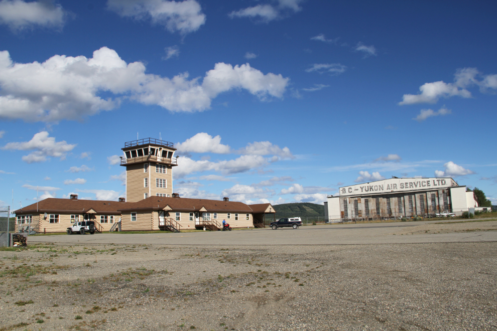
The Watson Lake Airport (YQH) is certainly one of the most interesting airports in the territory historically, and from the air, the location on a peninsula jutting into the lake, is exceptionally beautiful. Both the Air Terminal Building and the hangar in the next photo were built in 1941 when Watson lake became a significant base on the Northwest Staging Route used to ferry Lend-Lease aircraft to Russia.
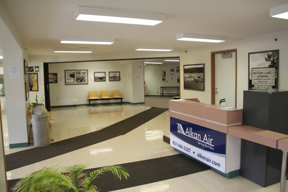
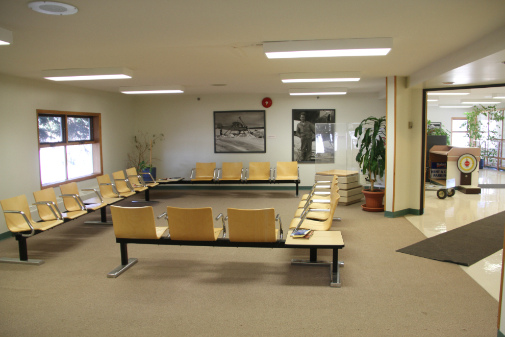
The updated terminal is a very attractive and comfortable place to wait.
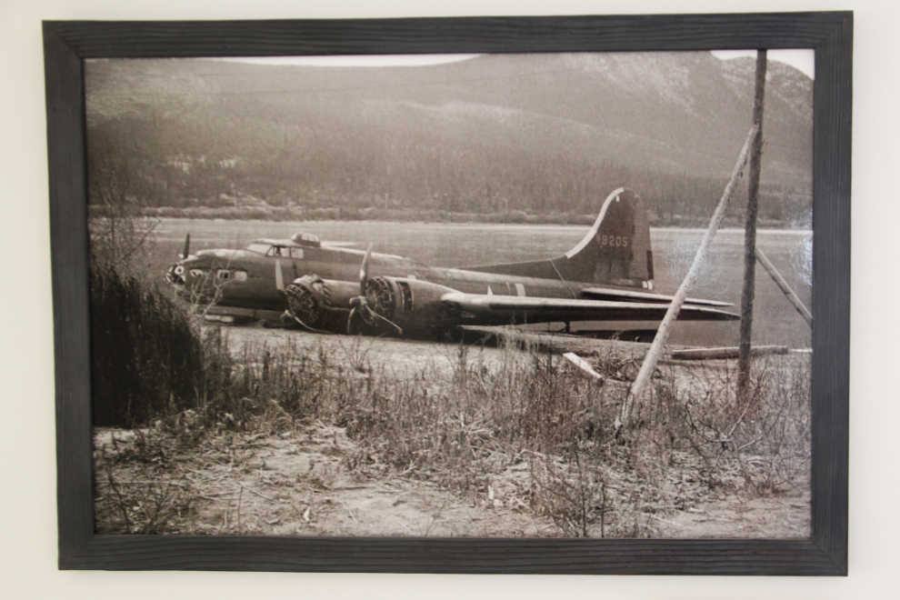
In 2004, a large display of historic aviation photos was mounted in the terminal. Among the photos is this one that surprisingly has no information on the caption tag. On October 16, 1943, this United States Air Force B-17 crashed into Lake Bennett while attempting to land at Carcross – 11 men drowned in the frigid waters. The late Les McLaughlin tells more of the story.
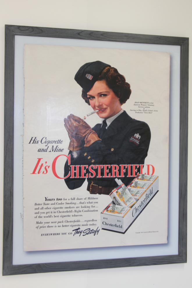
This Chesterfield cigarette poster from 1942 features Joan Bennett in her American Women’s Voluntary Services uniform – she was then starring in the comedy film “Twin Beds”.
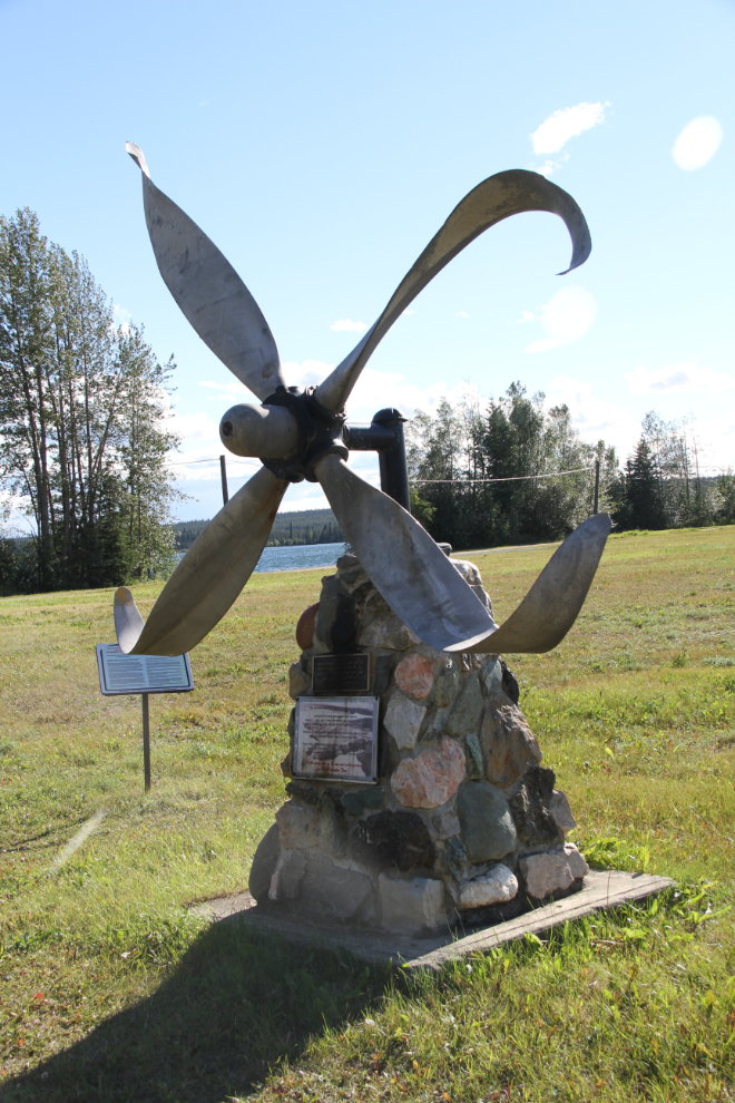
This cairn is dedicated to the men who flew planes in the Lend Lease program and the Winter Experimental Establishment (W.E.E.), and in particular to the 3 men who died in 3 crashes at Watson Lake in 1948 and 1951.
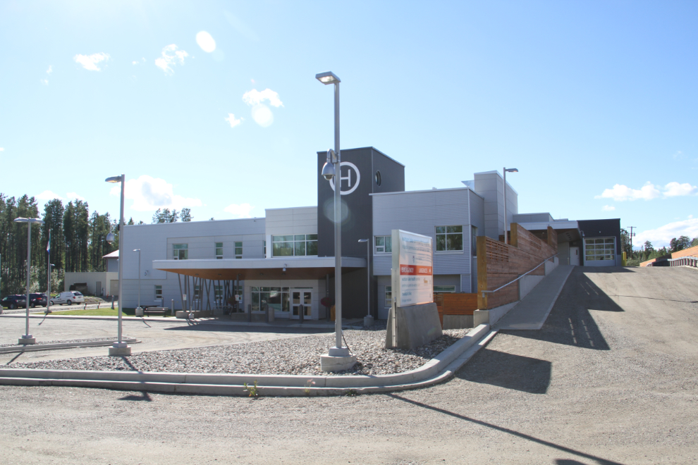
Heading back into town, I detoured to see the new hospital (it opened in 2013). Although construction was controversial and incredibly expensive, it’s a beautiful facility.
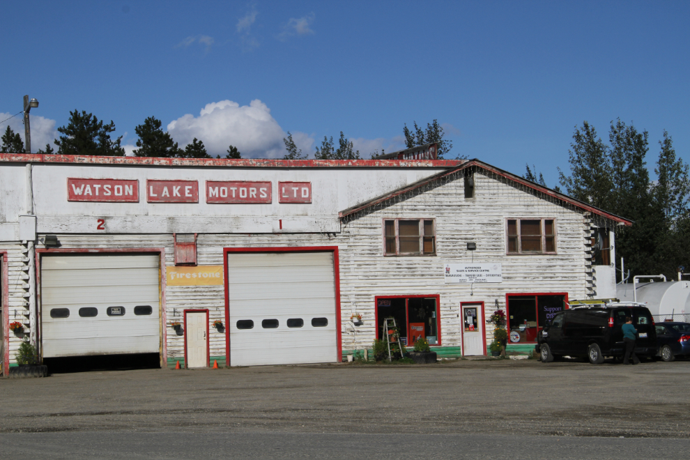
My favourite building in town is Watson Lake Motors. Originally built in 1953, it expanded 2 years later and was the busiest garage in the Yukon for years.
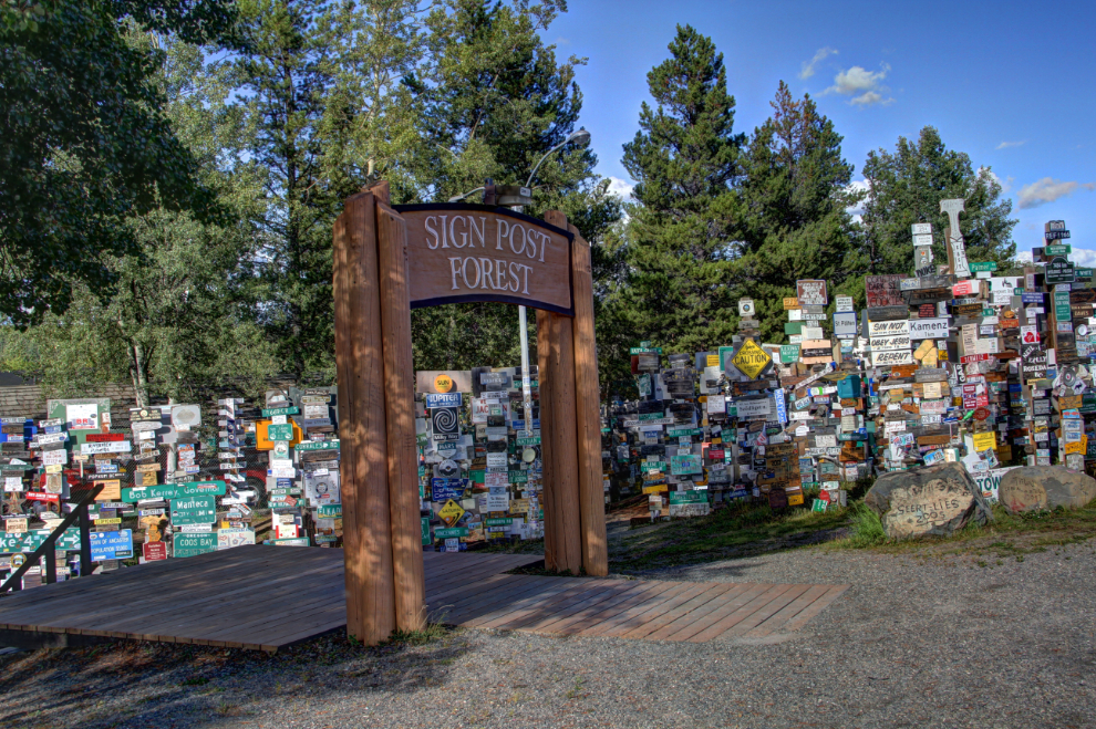
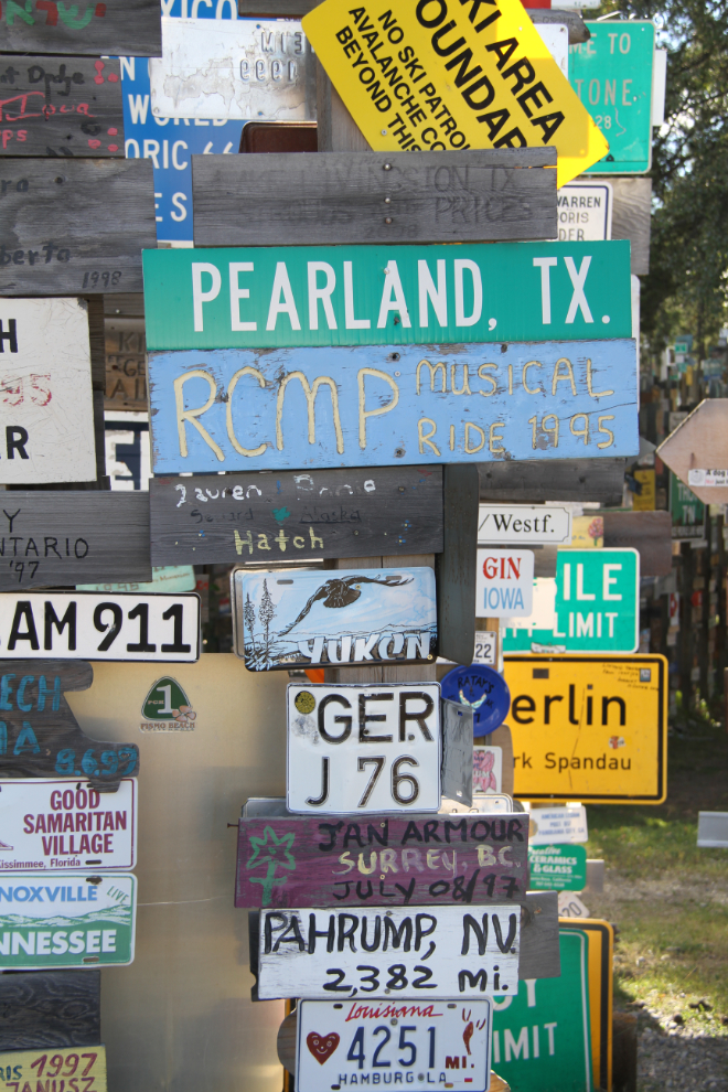
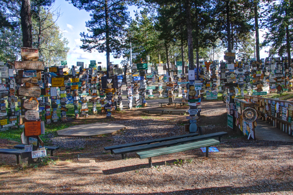
What’s a visit to Watson Lake without a stop at the Sign Post Forest, which began with a handful of directional signs in 1942?
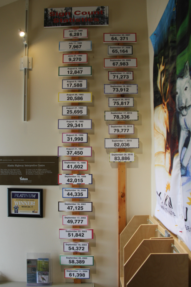
In the Visitor Reception Centre, you can follow the growth in the number of signs from 1988 to 2016, when the number is said to have been 83,886. Realistically, that’s just an estimate, because even defining what constitutes a “sign” is problematic. Many years ago, I put up a license plate from Tasmania, Australia, brought by one of my bus passengers who brought it along, not realizing that we didn’t go to Watson Lake on his tour. The plate seems to have been stolen, though, because I was never able to find it again.
As many times as I’ve wandered through the Sign Post Forest, I still enjoying seeing some of the really creative signs, and wondering how some of them ever arrived in the Yukon.
The next morning, we were off to Muncho Lake as the first of our hiking destinations.
