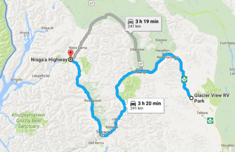
Driving from Smithers to Nisga’a Memorial Lava Bed Provincial Park
Having given up on some sunny days arriving in Smithers, on Day 57 of the trip, June 21, the first day of summer, we moved west and north to Nisga’a Memorial Lava Bed Provincial Park.
A 253-km (157-mi) drive would still give us plenty of time to explore the park once we got there. Click here to open an interactive version of the map in a new window.
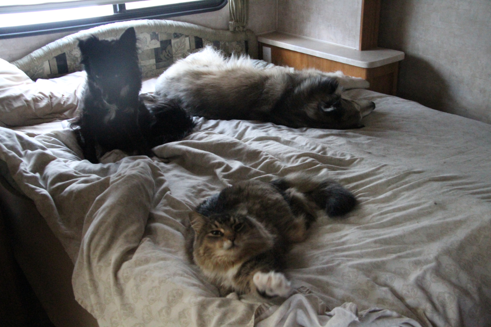
Oh come on guys, it’s almost 7:00 and I’ve been up for 2 hours already! Geez, what a crew! 🙂 It was a cold morning, though, and I had heard furnaces firing in many of the RVs, including mine.
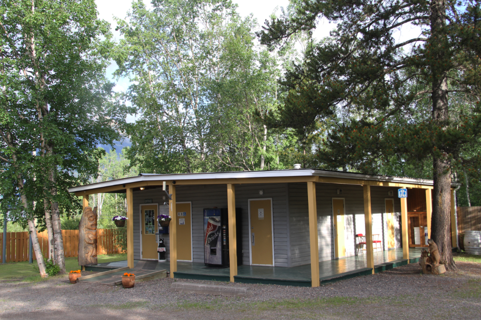
I haven’t said much about Glacier View RV Park, but I really like the place. The view, of course, is spectacular, but the entire property is very nice, and the short drive into Smithers make sit a great location for exploring. The sites aren’t large but are adequate, at $103.50 for 3 nights with wifi and taxes.
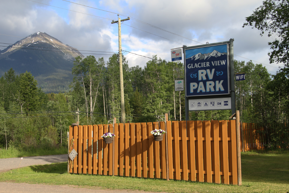
As well as the RV park, there are cabins above the RV spaces. Kent and Rose have done a great job with the property, and I wouldn’t consider staying anywhere else in Smithers.
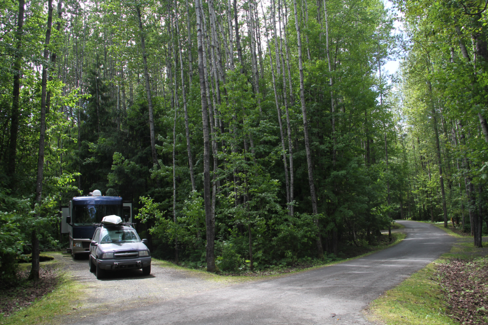
At 08:35, we pulled out onto the frontage road, headed for Highway 16 westbound. I was grateful for the sun but it didn’t look like it was going to stay with us for long.
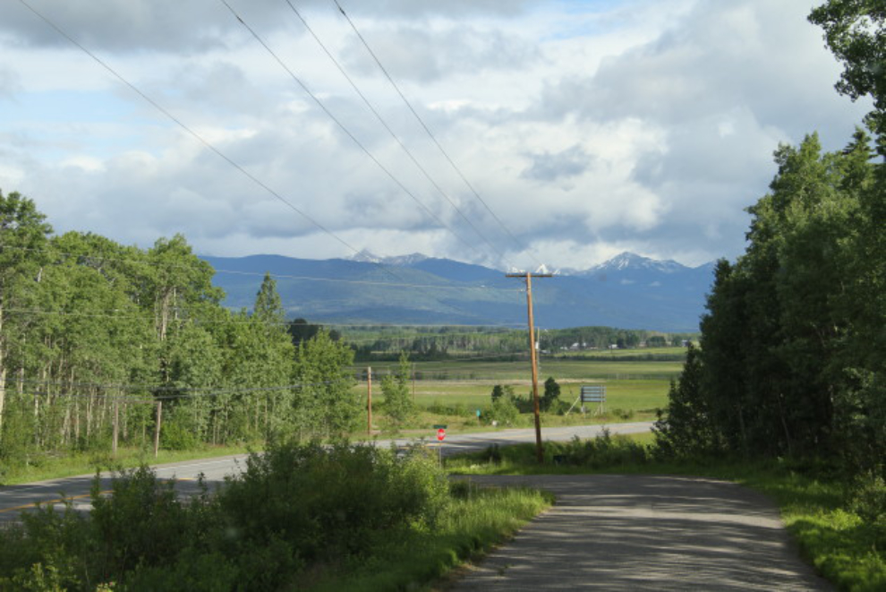
Within 10 minutes, the sunshine was gone. Oh well, I’ve seen this first part of the route many times on sunny days.
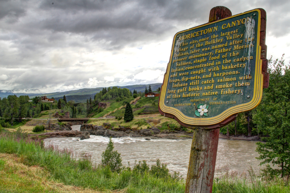
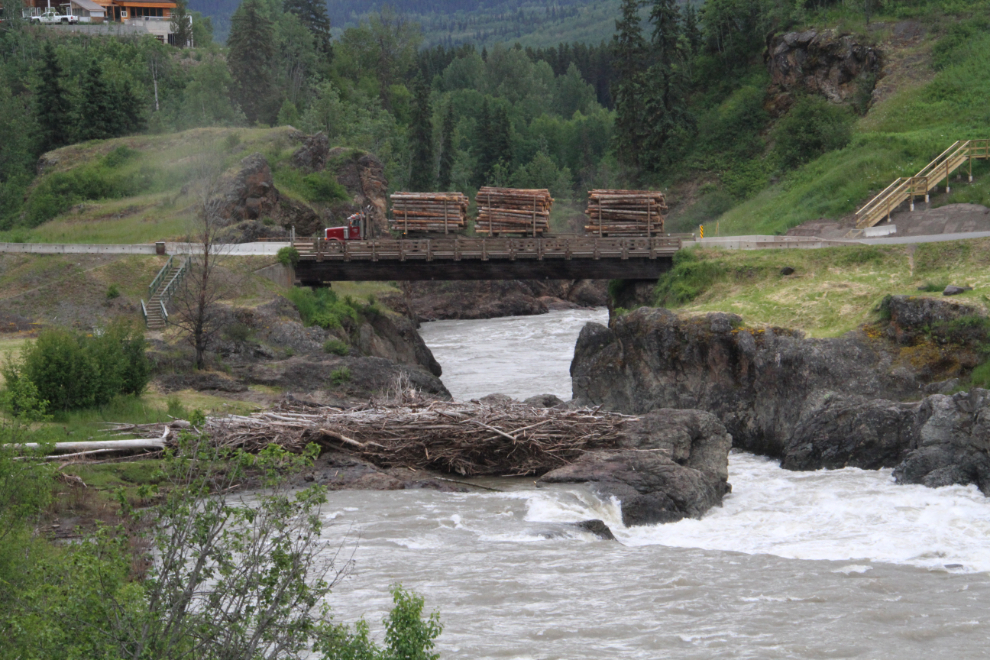
I stopped briefly at Moricetown Canyon, just to see if anything interesting was going on. It was just a bit too early for salmon, though they would arrive any day, so there was no action on the river.
The stop got me a logging truck, though 🙂
At 09:45, the junction with Highway 37, the Stewart-Cassiar Highway, at Gitwangak (Kitwanga), was just ahead. That’s almost always my route north, but not this time.
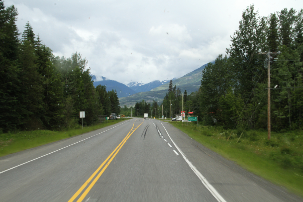
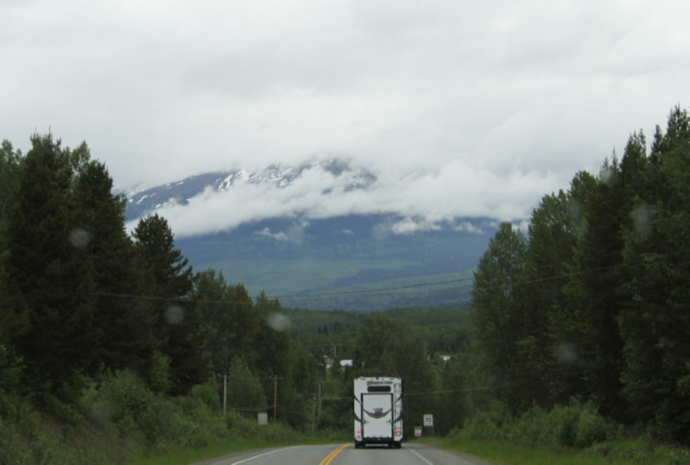
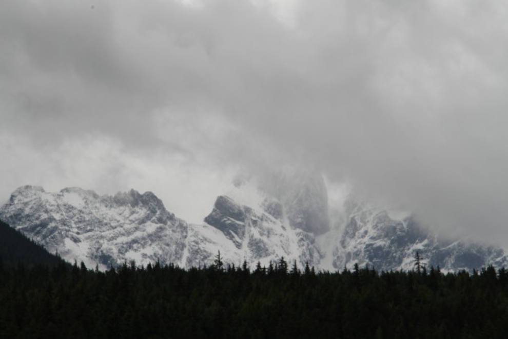
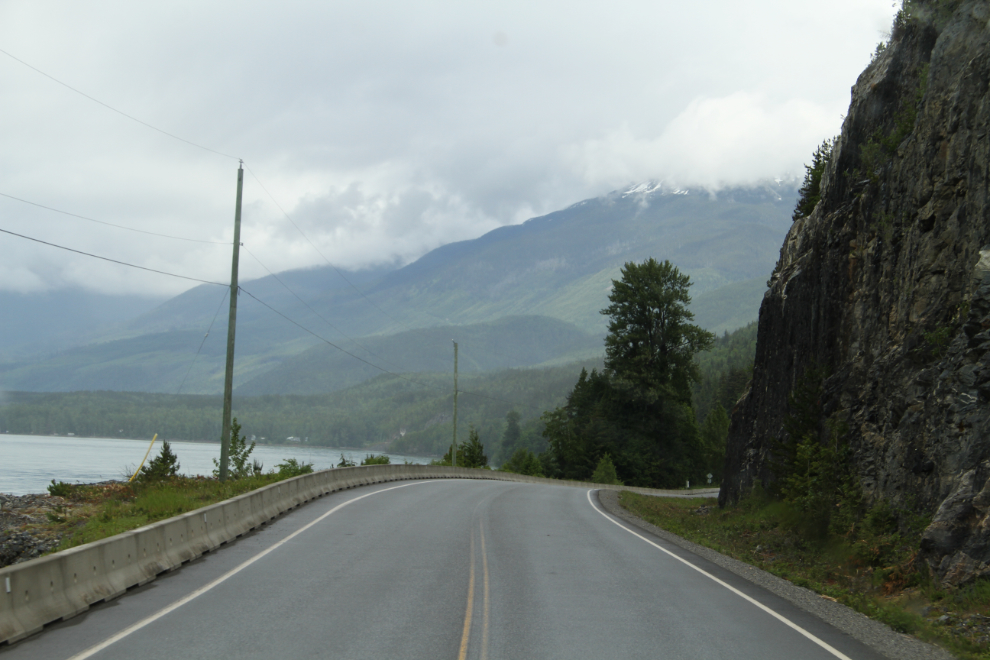
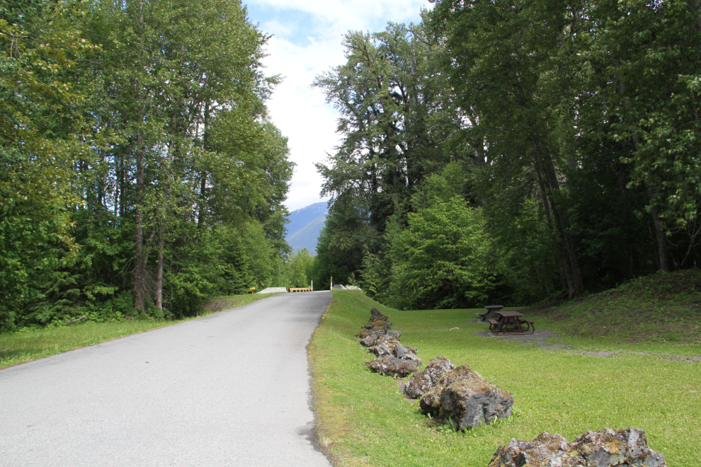
Five minutes later, I pulled into large pulloff to walk the dogs. That view certainly doesn’t look like the first day of summer, does it?
After 2 months driving around BC, I had grown really tired of seeing “No Dogs Allowed” signs. When I saw the woman from this motorhome from Tennessee let her dog poop in a really nice grassy picnic area and then not clean up, I got out and tore a strip off her. People like that make RVers and dog owners all look bad, and it’s just bloody disrespectful. Grrrrr…..
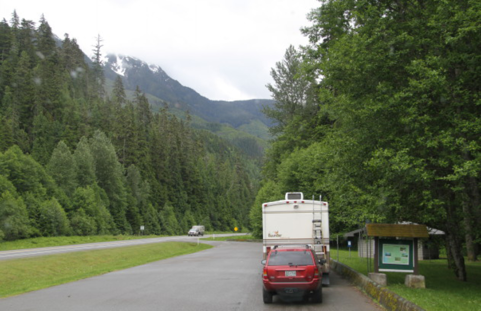
I spent almost 2 hours in Terrace before heading north. I had to fuel up and do a bit of grocery shopping, but I also had to have yet another Whitehorse job fixed properly – the exhaust on the Tracker. Malcolm at Minute Muffler got me in right away, and asked who installed that mess. He said they’d fix what they could. I left knowing that at least it wasn’t going to fall off in the middle of nowhere – good insurance for $68.
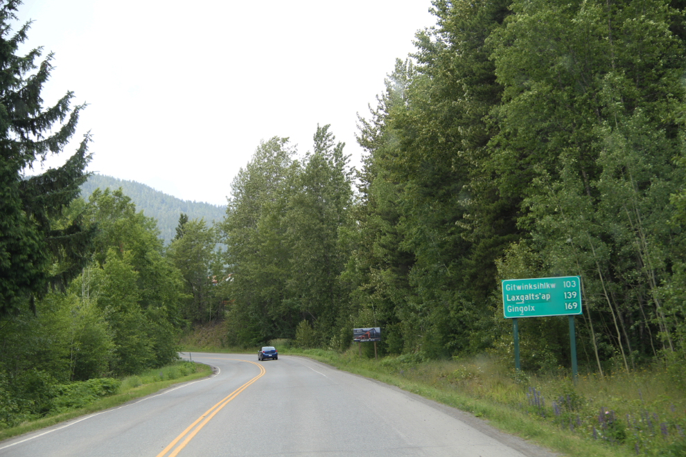
Heading up the Nisga’a Highway (BC Highway 113), I found that I need to re-learn the map of this area. All of the communities have gone back to their ancestral names, and very few resources use both names. From here, Gitwinksihlkw (which I knew as Canyon City) is 103 km, Laxgalts’ap (which I knew as Greenville) is 139 km, and Gingolx (which I knew as Kincolith) is 169 km.
At 1:30, we were following the east shore of Lava Lake, which was formed when the lava flow we were going to see blocked the Tseax River. Nisga’a Memorial Lava Bed Provincial Park starts at the head of the lake. The park’s name is actually now Anhluut’ukwsim Laxmihl Angwinga’asanskwhl Nisga’a but I’m sticking with a name that I can pronounce and spell.
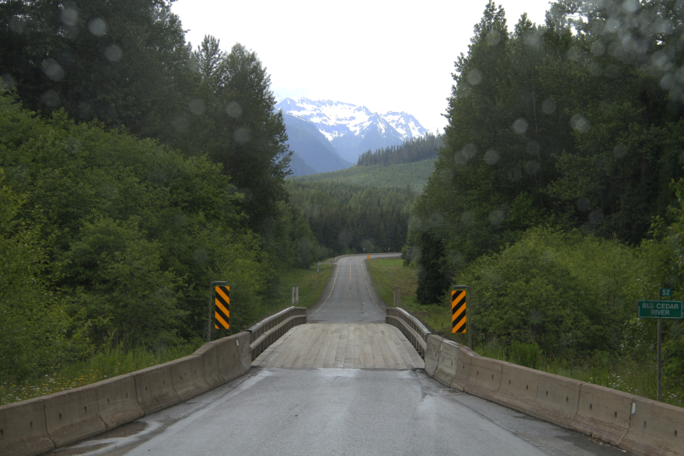
A one-lane bridge over the Big Cedar River.
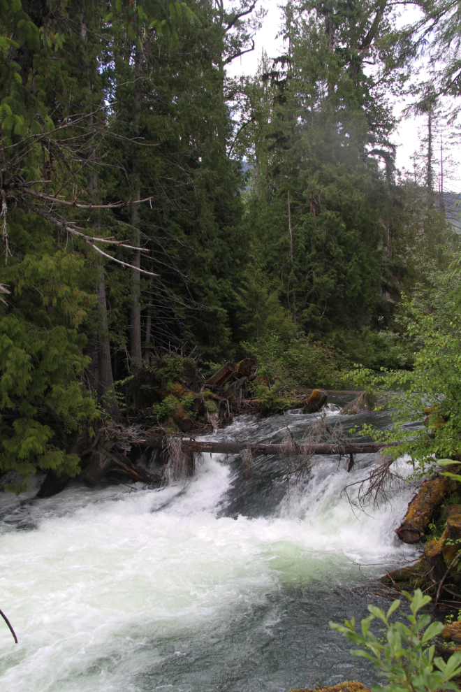
The rain slowed down enough as we reached the very short Drowned Forest Trail that we went for a walk. At high water levels, the Tseax River runs through the forest for a considerable distance in this area. The trail is at this small waterfall.
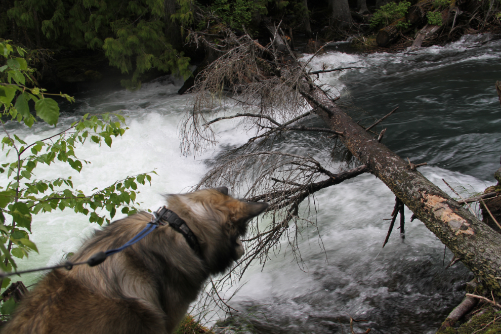
Bella was so intent on something there that I thought she was going to jump in (and drag me in with her!), so we left and headed for the campground.
By 2:30, we were set up in a very nice site at the park campground. It’s very small, only 16 or 18 sites depending on which resource you read (and I didn’t count), with a nightly fee of $20.
There’s a nice picnic area as you enter the campground.
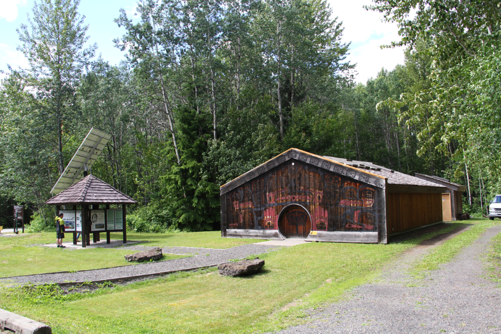
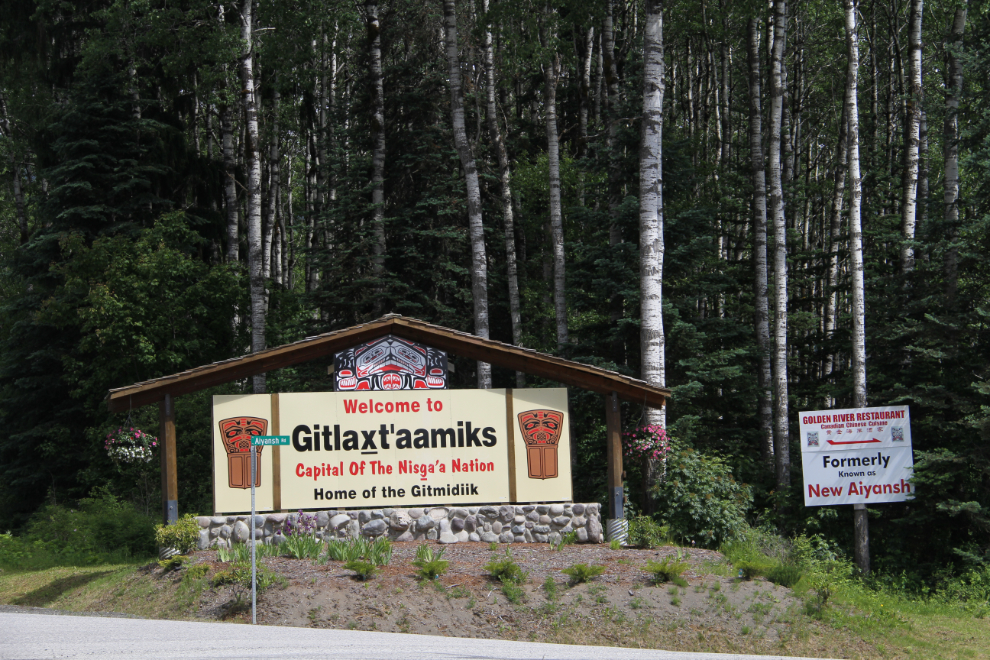
The visitor centre is also at the entrance to the campground, but it was closed. With no good information on the interpretive panels, I decided to make the short drive to New Aiyansh – now Gitlaxt’aamiks – to see if I could get some park information. In particular, there is an Auto Tour that I thought must have an explanatory brochure.
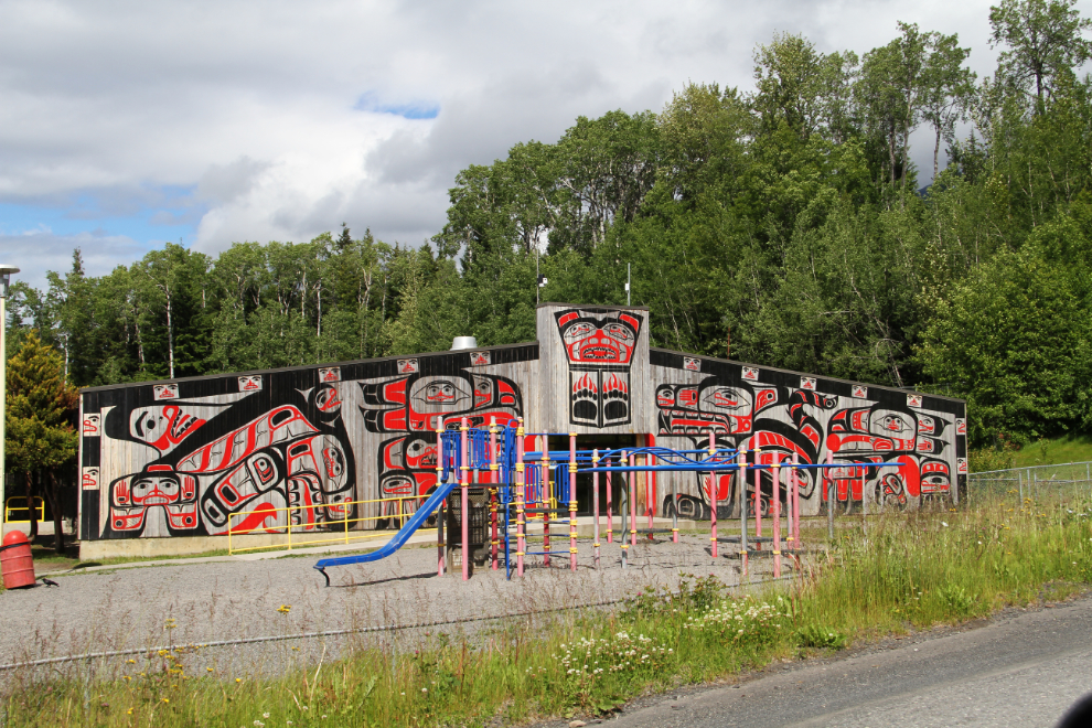
Welcome to Gitlaxt’aamiks, Capital of The Nisga’a Nation (formerly known as New Aiyansh). I’ve always had a special interest in this community, as my youngest sister is a member of the Nisga’a Nation, and this was my third visit.
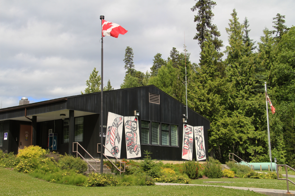
The first building that you come to is the RCMP detachment, the Lisims / Nass Valley Detachment, which was worth a stop. The Nisga’s Nation house crests were painted on the building when the detachment was re-named in April 1997 (it had been the New Aiyansh Detachment).
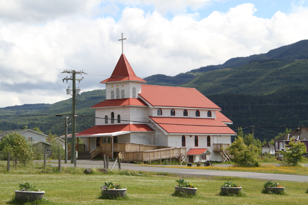
The Holy Trinity Anglican Church is an impressive building that can be seen for miles across the valley.
The Nisga’a Lisims Government building is a good sign of how progressive this community and region is. There’s a brochure that gives a tour of the building. The receptionist was thankfully able to get me the information I needed for a proper look at the park.
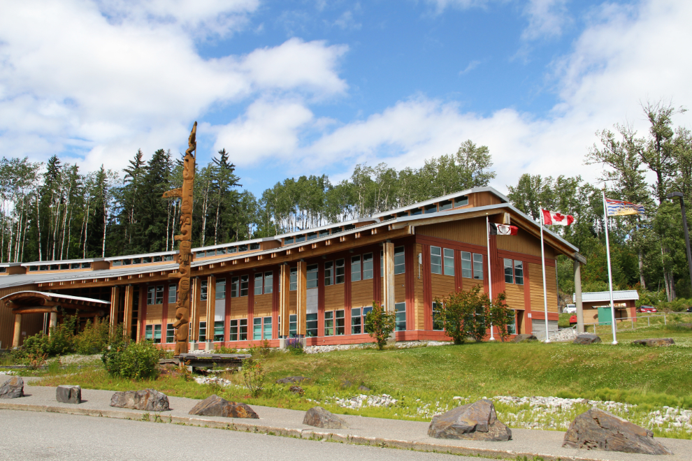
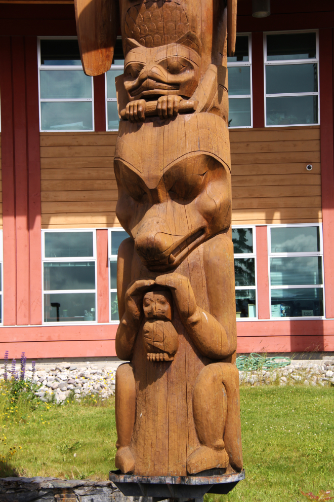
In front of the Nisga’a Lisims Government building stands the Nisga’sa Lisims totem pole (pts’aan), “Goothl Lisims – the Heartbeat of Lisims.” Raised on November 16, 2000, it displays the 7 gifts from the Great Spirit which have been adopted by Nisga’a clans. At the base of the pole is Gibuu, the Wolf.
The gym section of the school is one of several buildings worthy of special attention.
Armed with the information I needed, we began our park tour, which will be the subject of the next post.