RV season 2018 has begun – Days 1 & 2, the Alaska Highway
My plan for RV Season 2018 had been to leave Whitehorse on April 20th. That didn’t happen, though – I caught a nasty cold that Cathy had, and I wasn’t well enough to hit the road until Thursday, April 26th. And that was a stretch. As I begin writing this blog at 06:20 on Day 2, I’m still very congested and achy. But I’m surrounded by the incredible peaks of Muncho Lake Provincial Park – how bad can life be? 🙂 The first two days of the trip took me 1,410 km down the Alaska Highway to Mile 0, Dawson Creek, BC.
Backing up to April 18, I was busy with all the jobs that needed to be completed before leaving. I took the motorhome in and got the front wheels balanced, and got winter tires put on the summer rims of the Tracker. I’m going to run winters year-round on the Tracker now because they’re much better for off-road use.
I had hired a plumber to do the en suite plumbing and some other work, and his final visit was on Monday, April 23rd – when I should have been 1,000 miles away. Cathy was going to come home, let him in, and go back to work. To keep a long story short, the last few gallons of water from the hot water tank that the plumber was servicing came back up from the floor drain onto my basement floor. If I hadn’t been there, and been quick getting every towel in the house down on it – well, it could well have been a messy insurance job.
An emergency call to Northwest Vacuum had a truck out within about 40 minutes. They’ve always been good, but they sure got bonus points for this one.
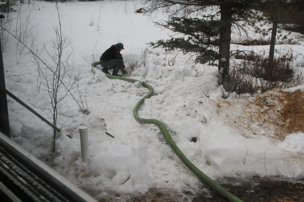
I had a hell of a time finding the septic tank pump-outs. While I knew roughly where they were, I moved a whole lot of snow very quickly before finding them just beyond where I expected they should be. I’m still not sure why this happened – I think that the thaw and re-freeze we had a few weeks ago put a lot of water into the system and then froze.
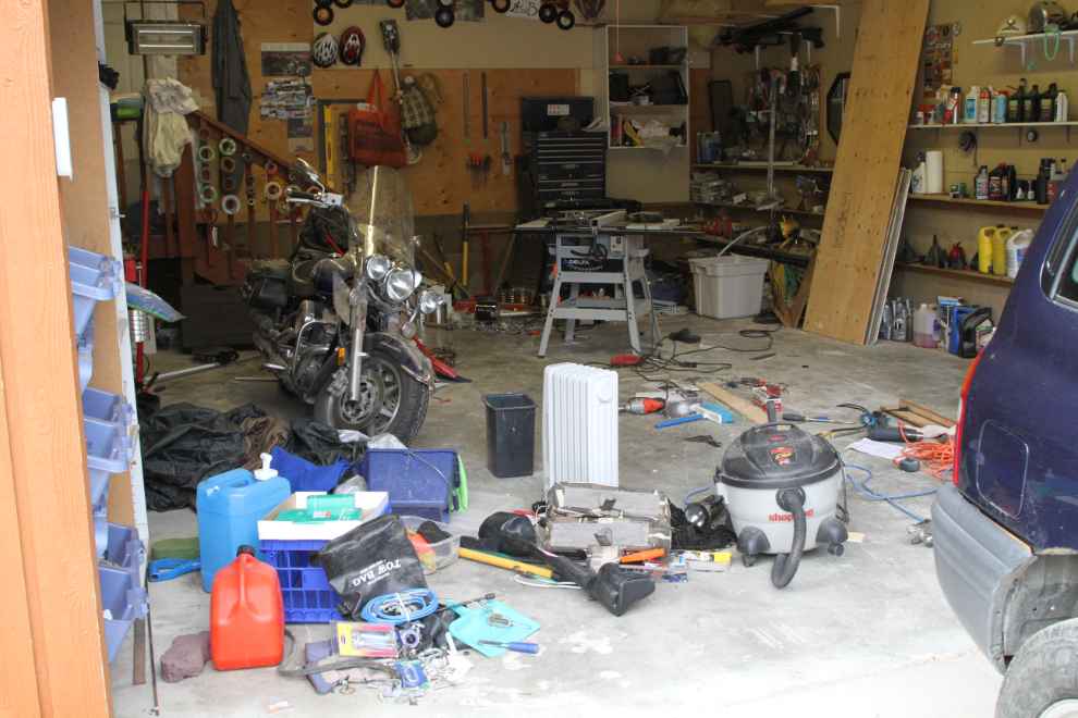
By Tuesday afternoon I was down to the final sorting of supplies, spare parts, and tools to take in the motorhome. Once I got that done, I did some more work on the motorhome floor, which is almost finished but not quite. Between the cold weather and being sick, nothing was on schedule.
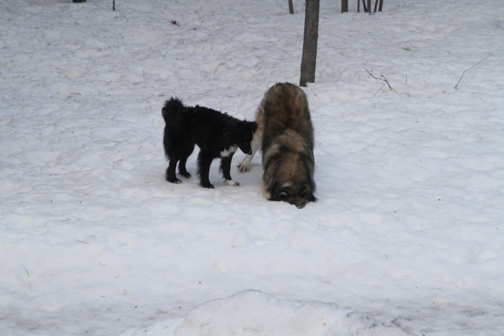
Regardless of what else is going on, Tucker and Bella can always make me smile. They are so good together, and often very funny. In this photo, Bella had started to dig a hole in the snow, from which she soon pulled a bone. Tucker had joined in the dig, and soon pulled a bone of his own from the excavation 🙂 When either Cathy or I aren’t feeling well, Tucker becomes the most wonderful little nurse dog – and all 3 of the fur-kids (Molly included) think that the extra naps I was taking were great.
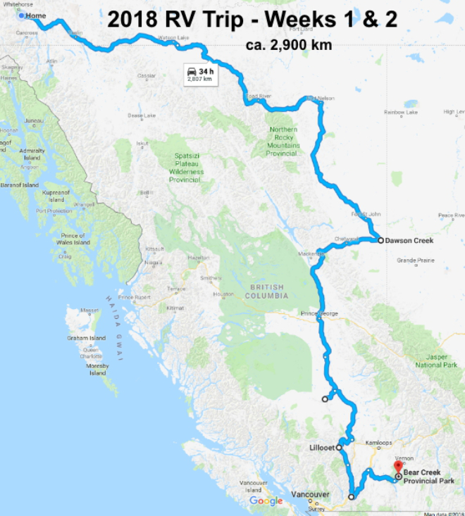
Finally, yesterday, Thursday, April 26th, everything was ready. At 08:20, the fur-kids and I pulled away from home, which we won’t see again for 8 weeks. The map shows the first 2-week period (actually only 11 days now), from Whitehorse to Kelowna, where Cathy will fly to meet us on May 6th. Then the daily miles we put on as we explore the Okanagan, Kootenays and southern Canadian Rockies drop substantially. Click here to open an interactive map in a new window.
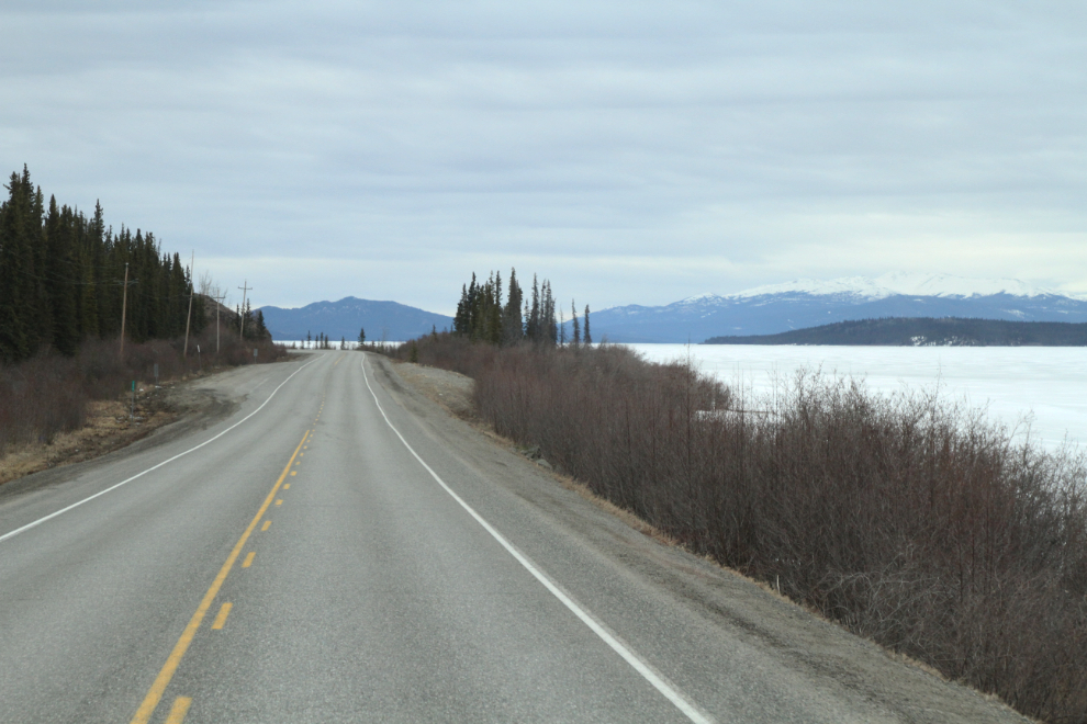
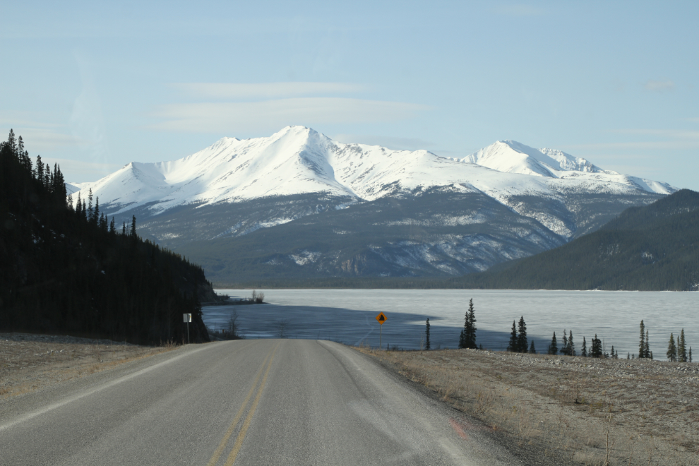
Driving along Marsh Lake on the Alaska Highway, it really still looked like winter, with only a small stretch of open water on the far side of the lake where thousands of migrating swans have started to gather. It also still felt like winter – it was -5°C when we left home.
I rarely go by White Mountain at Jake’s Corner without at least one photo. I also shot this scene with my phone and posted it to Facebook and Twitter.
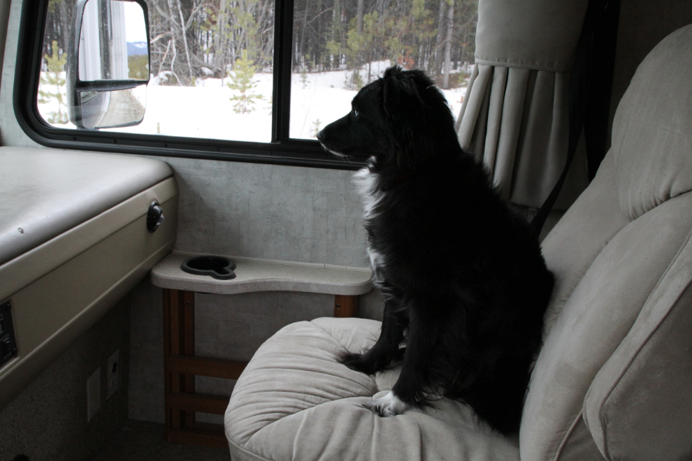
Tucker doesn’t ride shotgun while we’re moving, preferring to be snuggled up with Bella on the dog bed. When I made a photo stop, though, he wanted to see what was happening. It feels incredibly good to see how much all 3 of them love the RV life. For Molly, I think that a lot of it is because her family is always really close.
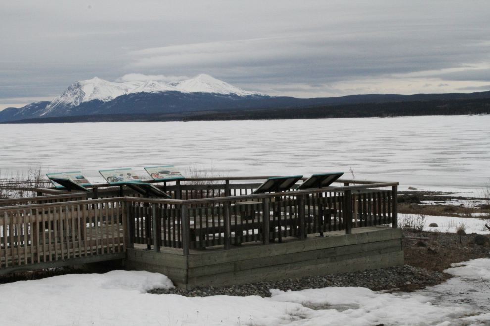
At the Teslin Lake viewpoint at 10:30, it was time for a dog-walk. The breeze coming off that huge sheet of ice had quite a chill to it, but the kids were enthusiastic.
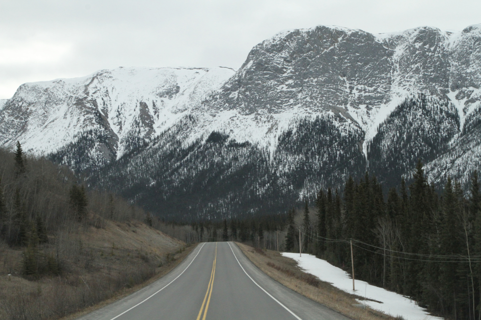
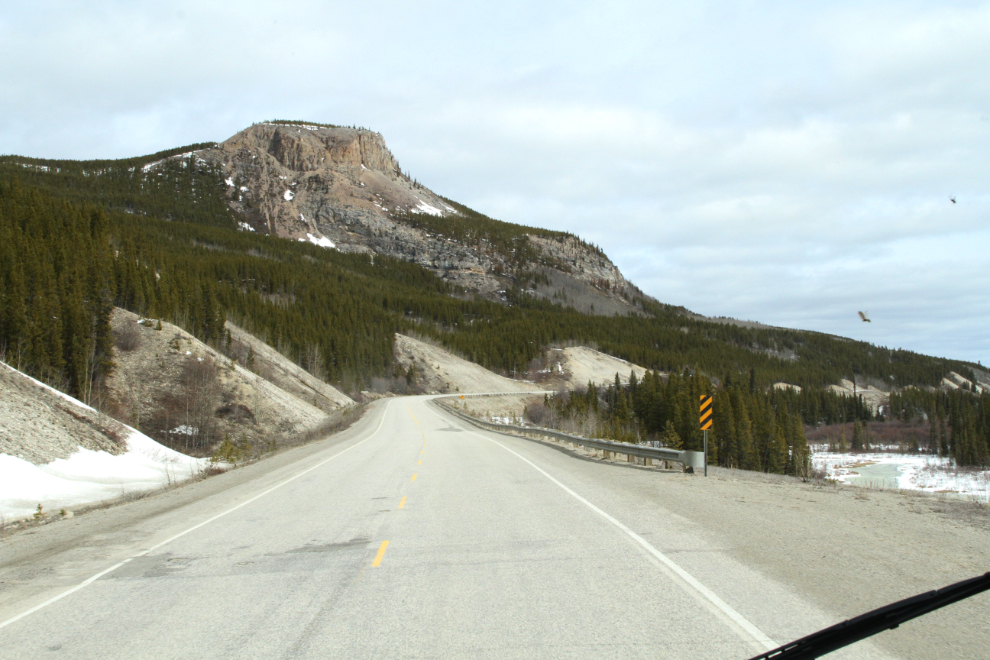
As is common this time of year, there were a lot of bad pavement breaks south of Teslin. Most of them can be avoided if you’re paying close attention, but not all can, especially when oncoming traffic occupies the unbroken pavement you need. At 12:20, I was starting to feel the need for a nap, and just beyond this very cool butte…
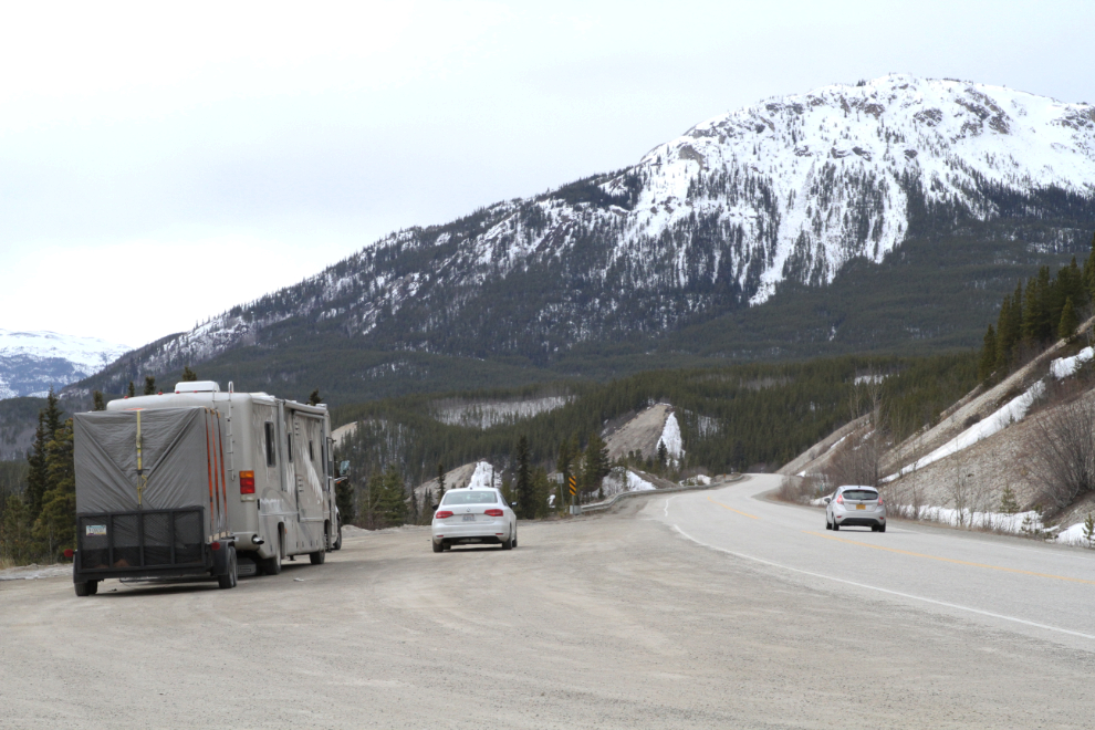
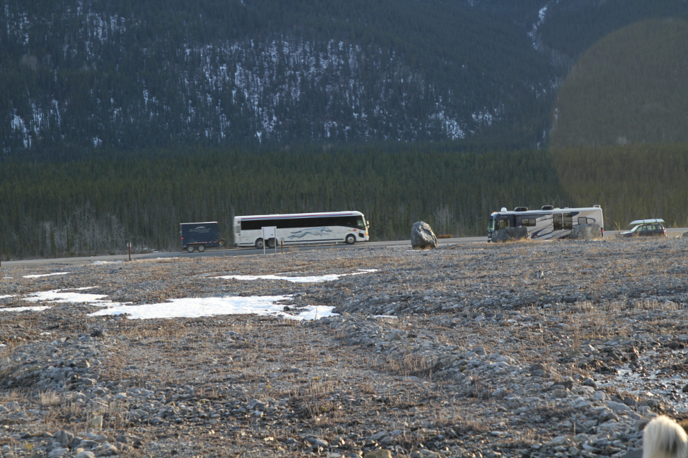
…is a large pullout that was perfect for an hour-and-a-half stop. The kids are all big fans of these long afternoon stops! The vehicles in the photo (3 of them in a northbound convoy) arrived right after I did, and were still there when we pulled away.
I made a very long fuel stop at the North 60 cardlock at Watson Lake. It was very long because the rig has become difficult to fuel – the gas bubbles up and shuts the hose off. It’s extremely frustrating. It used to happen occasionally, but now it’s the norm, and I haven’t found a solution yet.
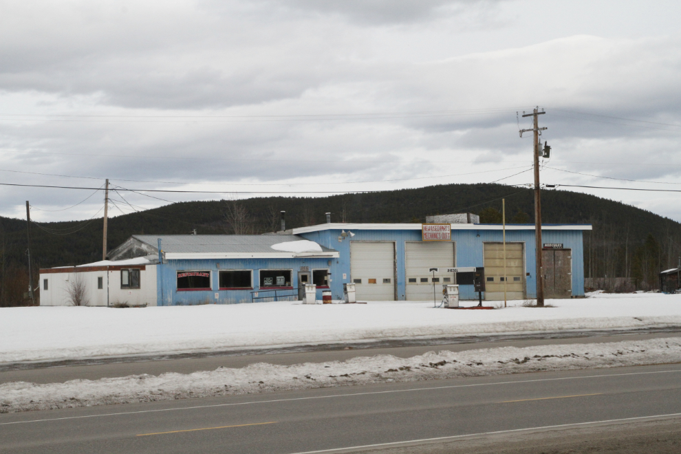
On my way through Watson Lake, I moved over to the frontage road to get some photos. First, a gas station and restaurant (Bee Jay’s?) that closed 4-5 years ago.
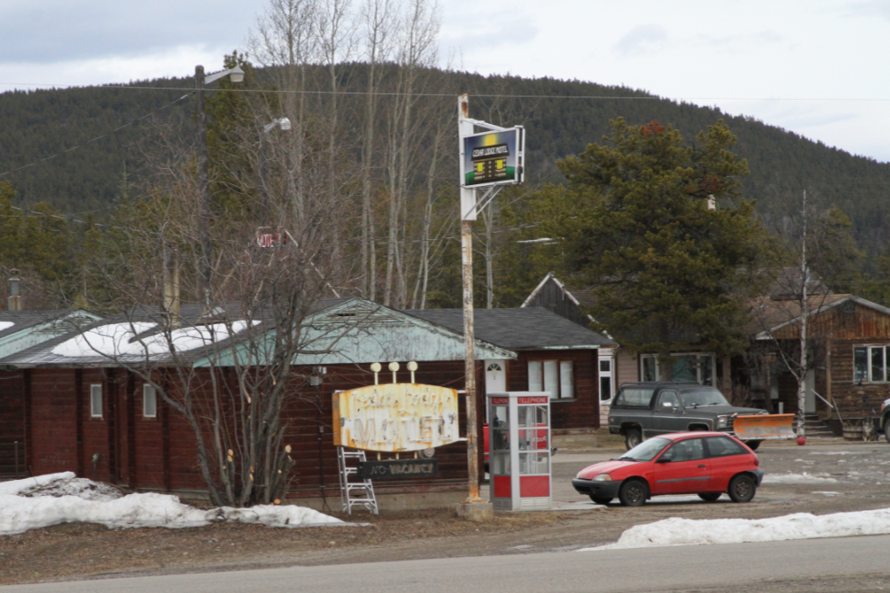
And the 1950s Cedar Lodge Motel. When they installed a new sign on the pole last year, I was very pleased to see that they saved the old sign, which is a classic (I have a few photos of it in place on the pole).
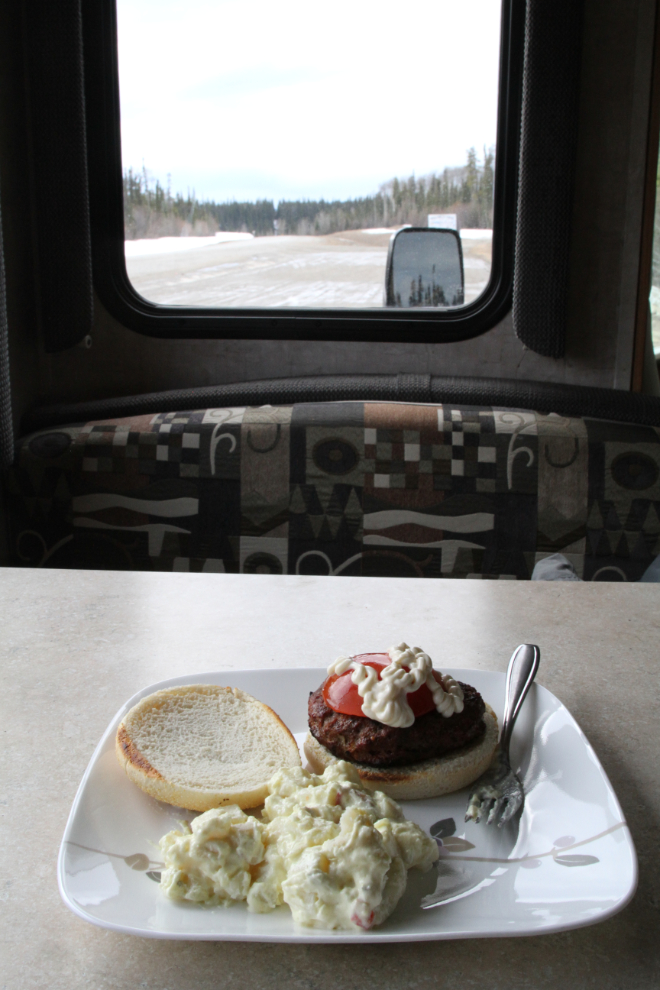
At 5:00 pm, it was time for a dinner stop at Km 905, the Yukon/BC border pullout south of Contact Creek. The kids ate first, then I opened Murray’s Burger Barn, a cozy little place along the Alaska Highway. I had barbecued up a few of my awesome burger patties for quick meals along the road.
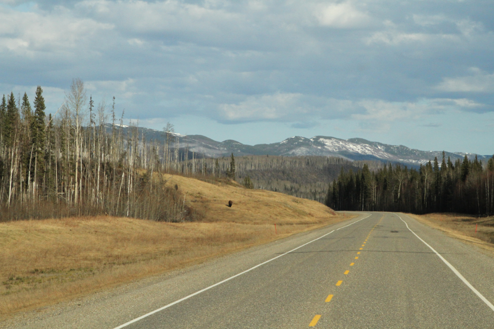
At Swan Lake, it had rained just enough to get the rig dirty (of course). It was great to see the sun come out, and the forecasts I’ve looked at show that a whole lot of that is ahead. The next photo shows the road ahead at about Km 799, twenty minutes north of Liard Hot Springs. There are two bison on the slope on the left. The hot springs are must-stop in most people’s books, but after probably 40 visits over the years, I seldom stop anymore – too many people.
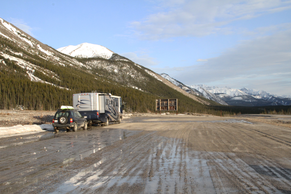
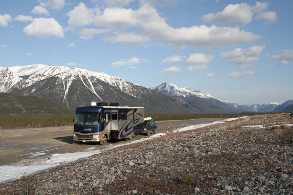
At 7:30, we stopped for the night at a huge pullout just north of Muncho Lake. This is where we camped for several days last year while hiking several of the many canyons in the area. I love this spot – the views in every direction are simply stunning. At this point, we were 693 km from home, 717 km from Dawson Creek.
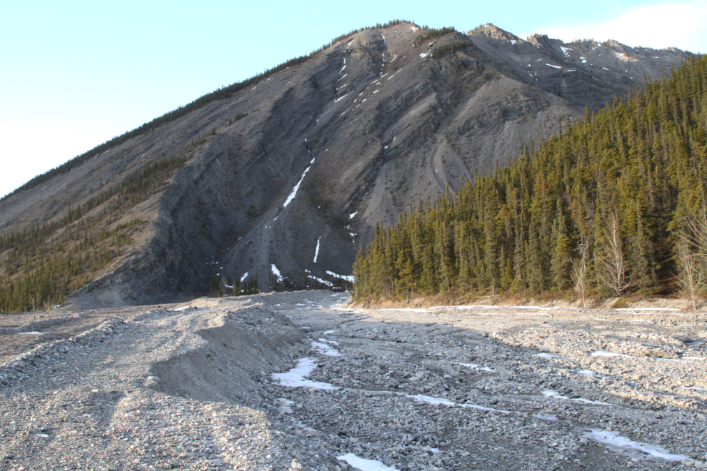
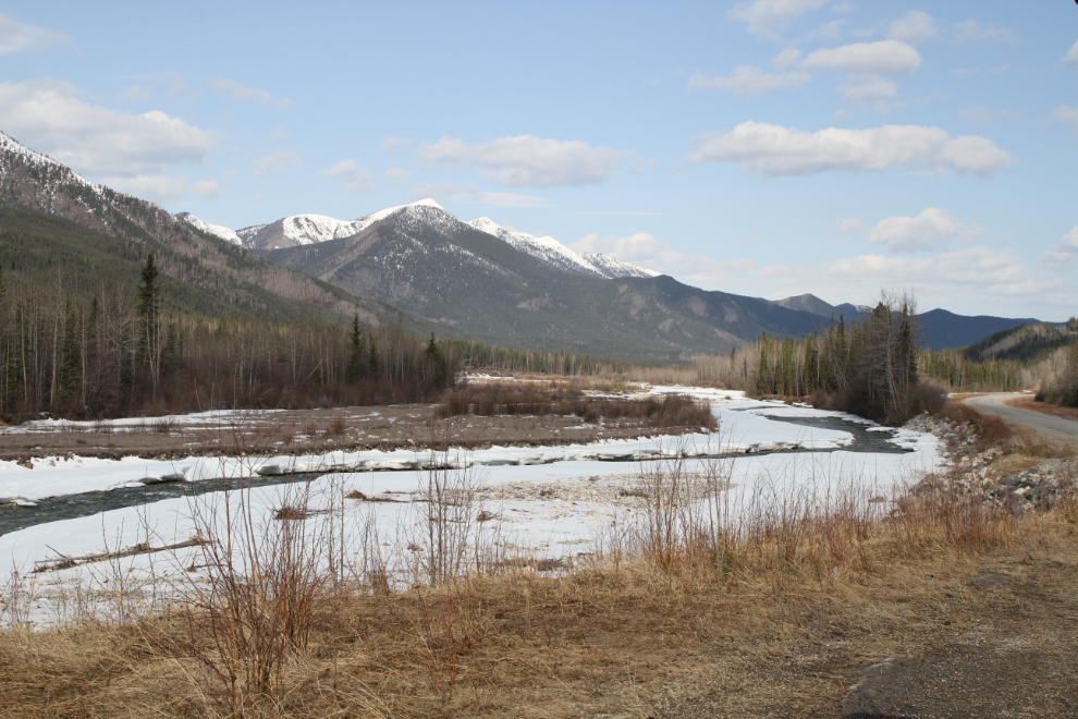
From the rig, I could hear water running at the far side of the outwash plain, about half a kilometer away. I expected to find a large run-off flow, but instead found just this tiny creek. The high berms give an idea of how heavy the run-off is occasionally – I’d like to see that!
Tucker stalking Bella. He wasn’t particularly successful in his attempts to get her to play in the snow.
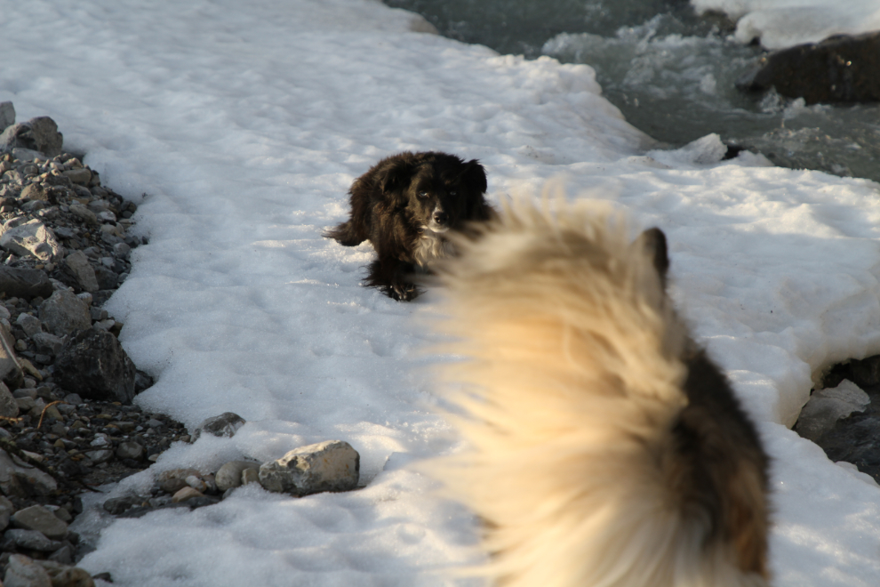
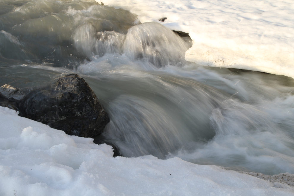
While the dogs explored and played a bit, I took a few photos of the creek as well as them.
Seeing this Greyhound go by was a reminder that I need to get photos of everything Greyhound on this trip, as they’re cancelling all Northern service very soon now.
This was the view out the front window of the RV on Friday morning just after 07:00. I was in no hurry to leave, so had breakfast, got the first half of this blog post done, and went for a long walk, with the temperature at about -2°C.
We finally pulled away right at 09:00, with the sun nicely lighting up the world ahead.
The more time I spend at Muncho Lake, the more I love it. It’s spectacular and it’s powerful, and the walking or hiking options are endless.
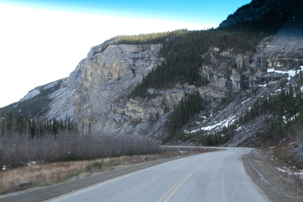
Back into the chilly shadows below the dramatic cliffs along the Toad River at Km 660.3
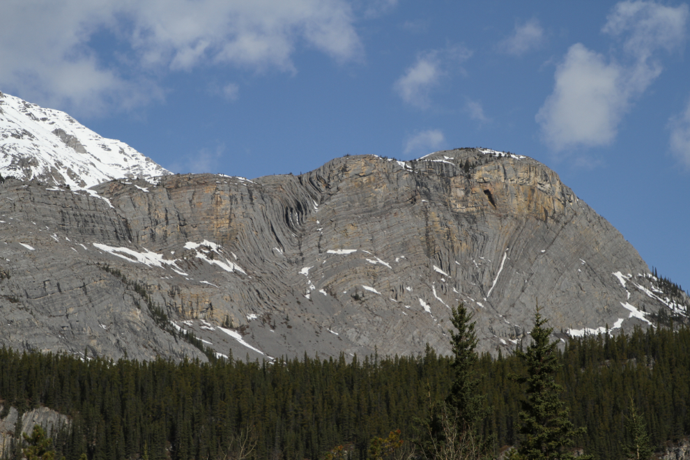
An interpretive panel at Km 658.8 uses Folded Mountain, seen in the next photo, to explain plate tectonics and the process of building the Rocky Mountains. The rock once lay flat on the bed of a shallow sea, but about 175 million years ago, the continental plate 9the contient of North America) started moving westward, buckling the sea floor and forcing it upwards. It’s hard to believe that the Rockies are now a tiny fraction of their original size, reduced by erosion.
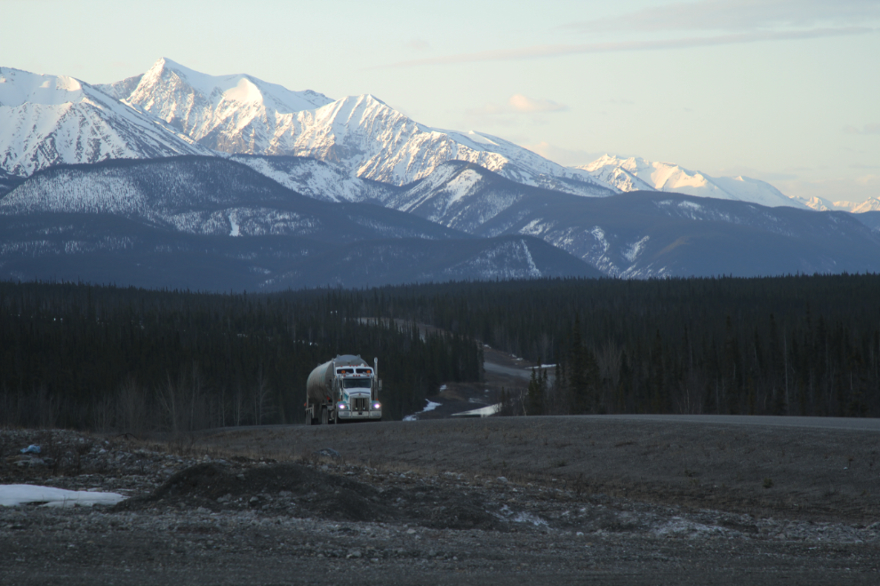
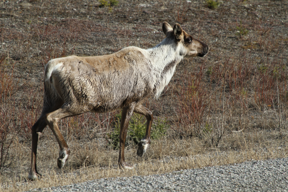
We had pretty good wildlife viewing coming down the Alaska Highway, with bison, caribou, moose, mule deer, lynx, and coyote. This caribou was on the highway along the Racing River on Friday morning.
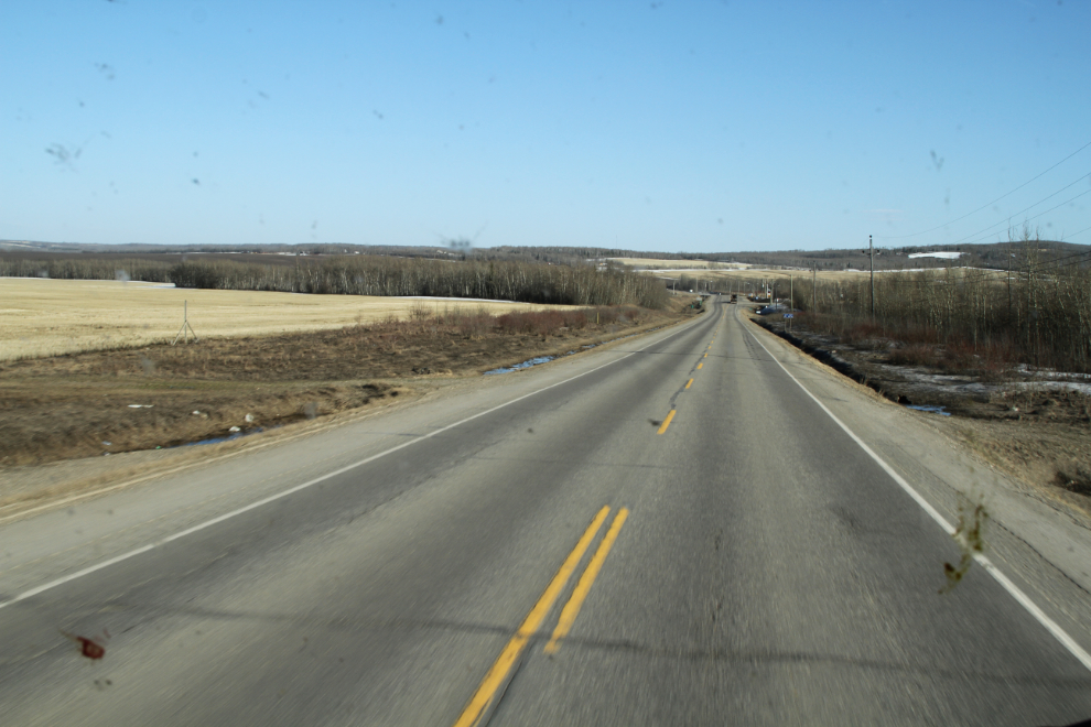
There’s very little traffic on the Alaska Highway. What RV traffic there is, is largely Alaskan snowbirds heading home, but there are also rental RVs being moved north, and seasonal employees. The number of actual tourists is tiny, but that will change quickly in the next couple of weeks.
The MacDonald River Bridge is one of the few remaining open-web girder bridges on the highway. With an open-grate steel decking, it makes an interesting sound when you cross it (Bella hates the noise), but they’re quite treacherous on a motorcycle.
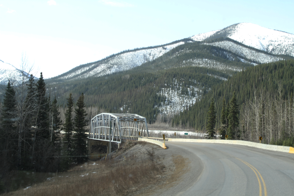
Spring is just beginning to make its mark on the ice of the MacDonald River.
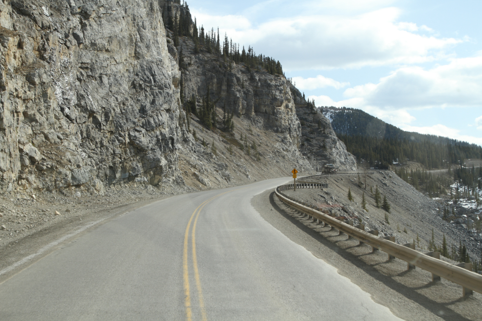
“The Cut”, which takes the highway from the bottom of the MacDonald River valley up to Summit Lake, is one of my favourite sections of the highway, Narrow, twisty, and steep, it’s a good look at how many parts of the highway were not that many years ago.
Summit Lake. I still have a lot of exploring to do in this area. Hiking the Summit Peak Trail four years ago whetted my appetite for the incredible high country. I have planned on getting there last year, but the canyons of Muncho Lake took all my available time.

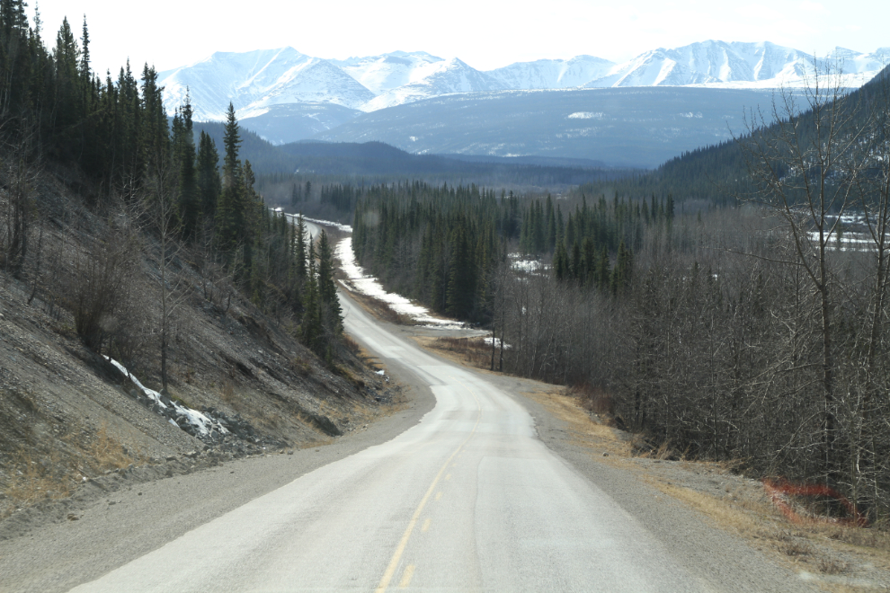
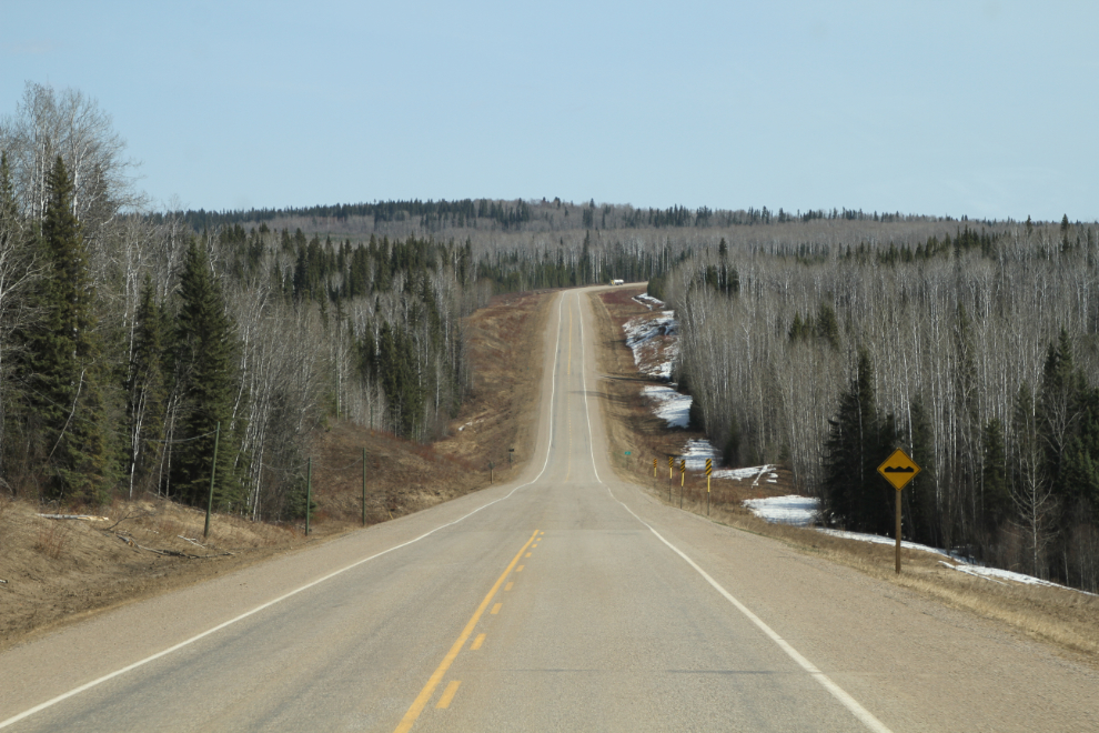
Dropping down to Fort Nelson, it was starting to look like Spring wasn’t far away, and I even spotted a few pussy willows.
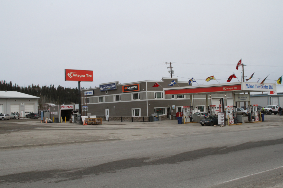
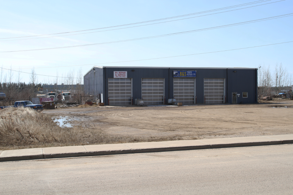
Just after I passed Teslin on Thursday, the dashboard panel announced that I need to do an oil change. With these computerized oil change messages, you never really know when those are going to pop up, so they’re hard to plan for. A billboard along the highway had announced that I could get the RV washed and the oil changed in Fort Nelson an hour and a half ahead, but the business has closed, and no other is available. I guess it’ll get done in Dawson Creek.
Nearing Dawson Creek, almost all the snow was gone. The melt has apparently come quickly – in Dawson Creek, the creek of that name was once again flooding a few roads and properties.
I parked at Walmart, which has all the RV-park services I need (good wi-fi – and it’s better than at most RV parks that charge $40/night). It’s now Saturday morning at 06:10. I may be in Dawson Creek for a few hours, as I have a fair bit to do, including the oil change, washing the rig, repairing the light connection to the Tracker, checking out the water system and some fiddly stuff. The plan is to be heading towards Prince George sometime today.