More exploring at Muncho Lake Provincial Park, BC
In the last 2 posts, I’ve covered the 7 canyons that I hiked during my 5 days at Muncho Lake Provincial Park in late August. But the dogs and I did a lot more – here’s a look at a couple of hiking trails, campgrounds, airplanes, storms, and more.
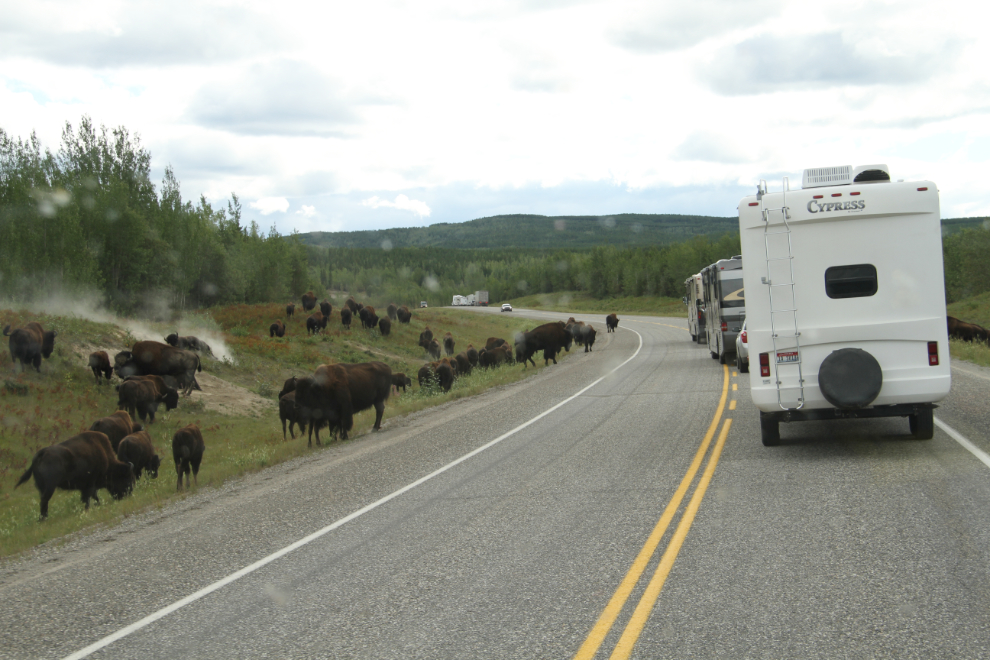
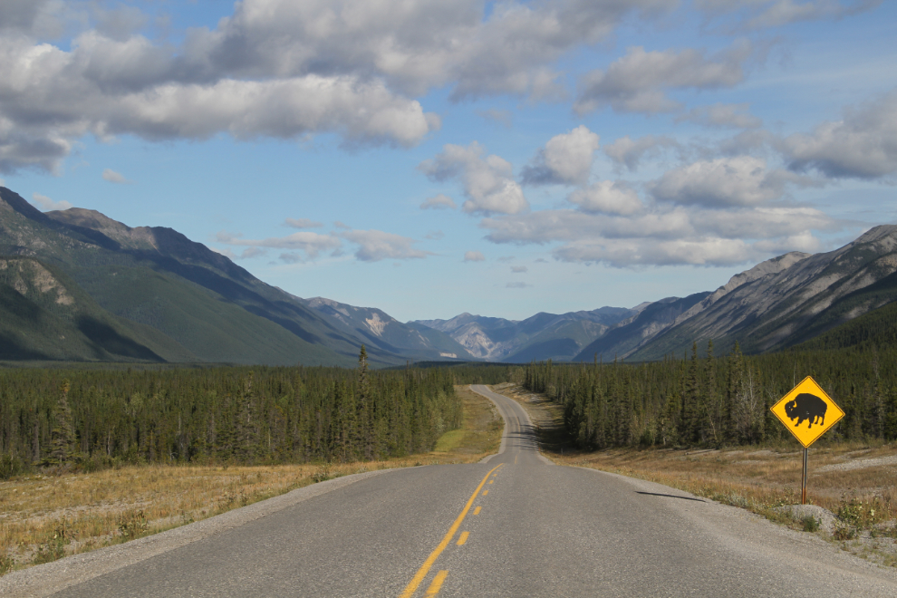
Before I take you to Muncho Lake, I want to show you some bison. I don’t often take photos of bison anymore, other than new calves. But this was one of the largest herds I’ve ever seen – probably more than 100 animals – and they caused quite a traffic jam. They were at about Km 860, north of Fireside.
A huge pullout at Km 717 of the Alaska Highway was my parking spot for the 5 days / 4 nights. I had intended to just stay for a couple of days and then move down to Summit Lake, but the hiking – the experience generally – was so wonderful that I stayed here.
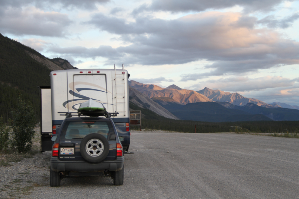
A great view is one of my two most-wanted features for overnighting with the RV – the other is simply a level spot. The pullout had a long list of positive attributes, including the view. Sunrises were stunning, with a broad vista to the south and a closer look at the mountains to the west as they turned brilliant red.
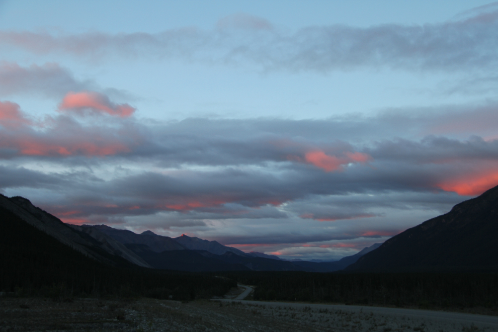
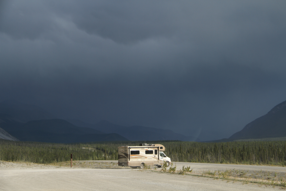
I had come down to Muncho because of a really good weather forecast. It turned out to be nowhere near as good as I’d hoped, and there were some wild storms. Luckily, I never got hit by any of the storms while I was out hiking the canyons, although I only made it back to the motorhome with minutes to spare a couple of times.
Settled in the motorhome, rainy spells are good times to rest, read, snuggle with Bella, Tucker, and Molly, and just listen to the rain on the roof. The storms were all as short-lived as they were wild, though.
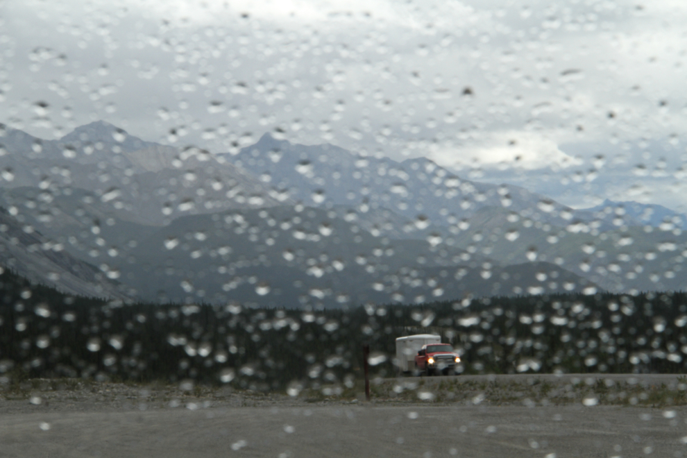
This storm on Saturday evening was by far the wildest one I saw, and it never did reach us. The RV in the photo stopped for a few minutes, and the driver got out and took some photos of what he was going to drive into. A few minutes later, a motorcycle stopped, and he got lucky. In the 10 minutes or so that he sat at the pullout, the storm passed over the valley, and he probably didn’t hit any rain at all.
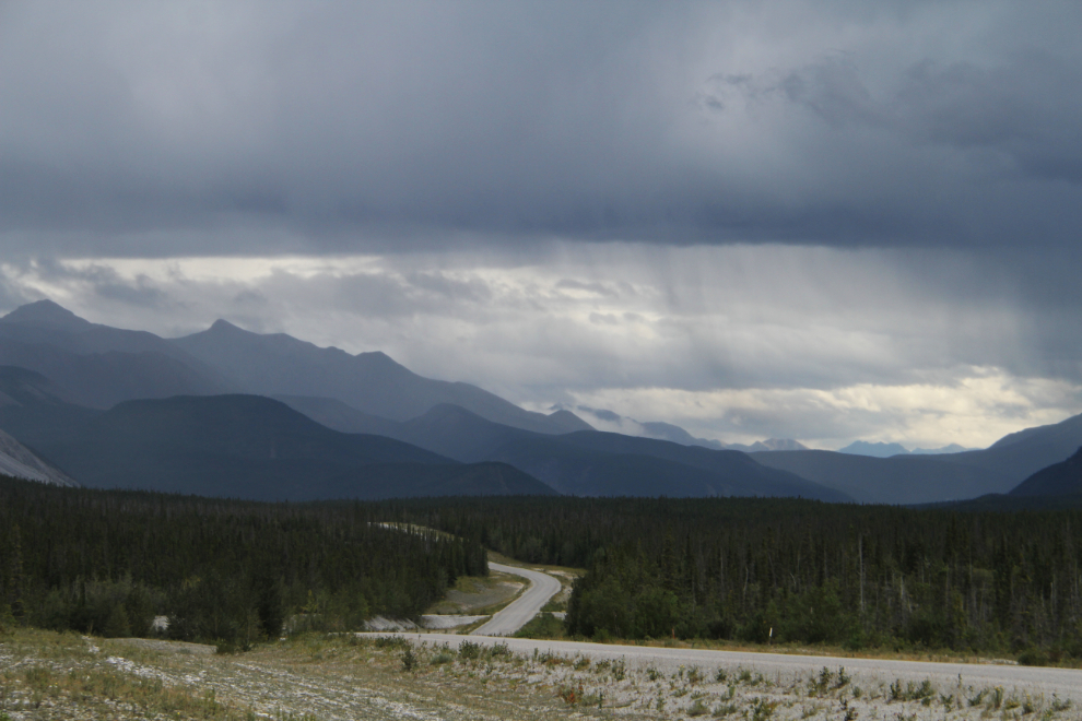
The pullout has good separation from the highway so I didn’t need to leash Bella and Tucker to take them for walks. During their walks, I took a lot of photos of the highway with the beautiful limestone mountains of the Sentinel Range behind.

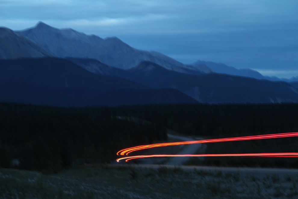
I did some late-evening traffic photography, but it took all the patience I could muster – a vehicle only came by every 20-25 minutes. This is my favourite shot, though a strong wind shook the tripod during the 13-second exposure as a semi went by at 9:20.
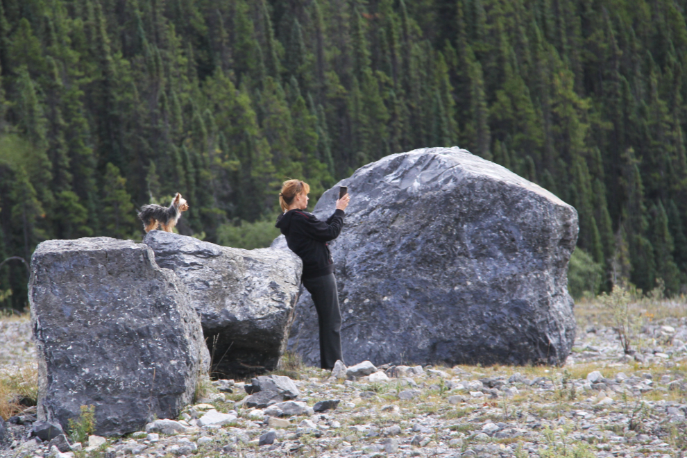
The pullout was a pretty good people-watching location, too. This woman spent her time taking selfies with her dog while her partner fuelled up their pickup with several jerry cans of gas.
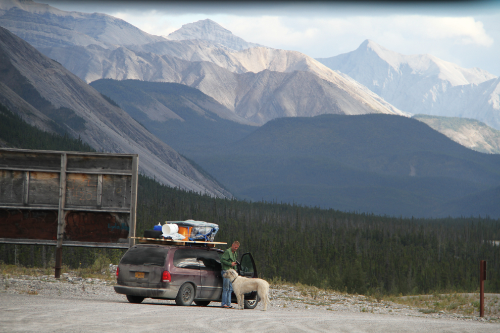
Even with the amount of stuff strapped onto the roof, there couldn’t have been much room in this minivan with a dog that size in it. The driver was sure taking good care of that dog, though – he got a drink and a whole lot of love during the few minutes they spent there.
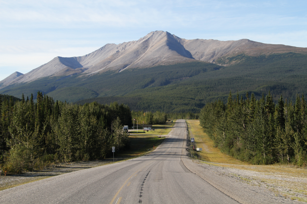
Okay, let’s go exploring. This is the view to the north from the north end of my pullout.
Salt Lick Trail
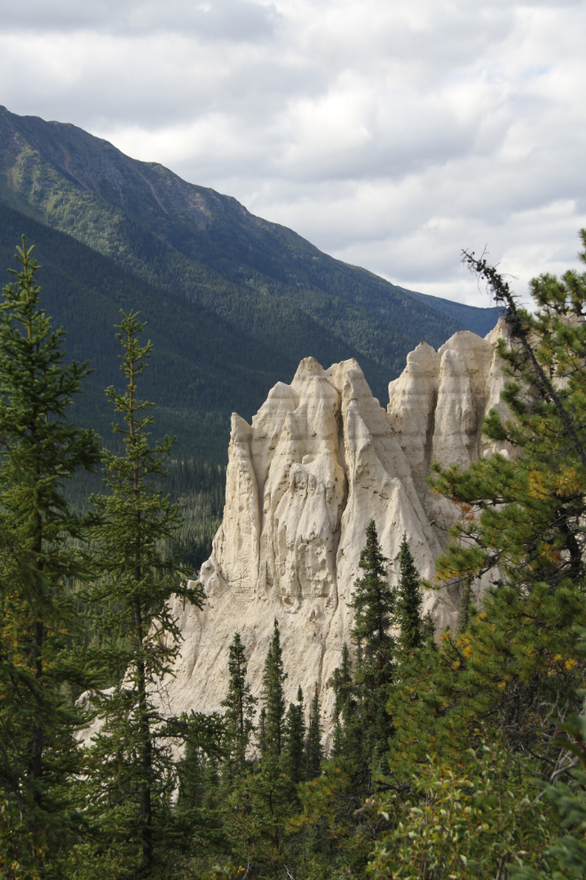
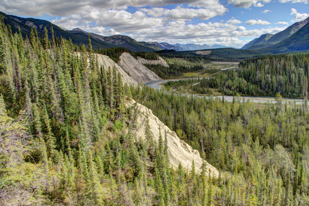
Ten kilometers north is the Salt Lick Trail (a.k.a. Mineral Lick Trail), a 1½-km loop trail that goes to a view over the Trout River, and some hoodoos.
The rock flour (rocks ground into powder by glaciers) found along the Trout River contains calcium, magnesium, sulphur, phosphorus, and sodium, so moose, Stone sheep, caribou and other animals come here to lick the soil to get those important nutritional supplements.
The view over the Trout River, looking south towards Muncho Lake. The steep banks along this trail are all fenced to keep visitors safe.
Driving south on the Alaska Highway, at Km 711.6, just south of the Muncho Lake viewpoint that most travellers stop at.
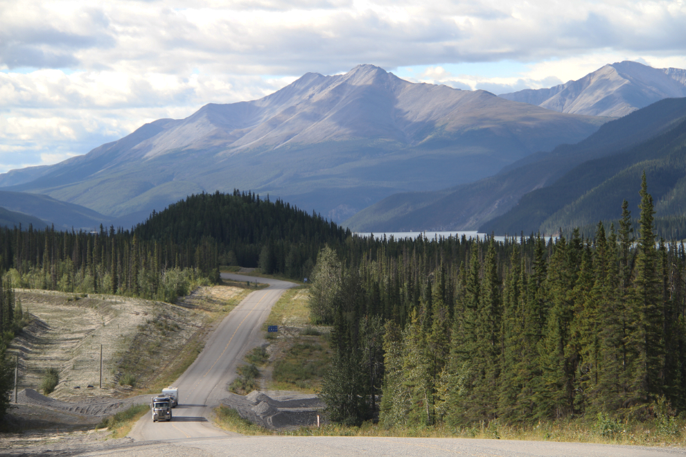
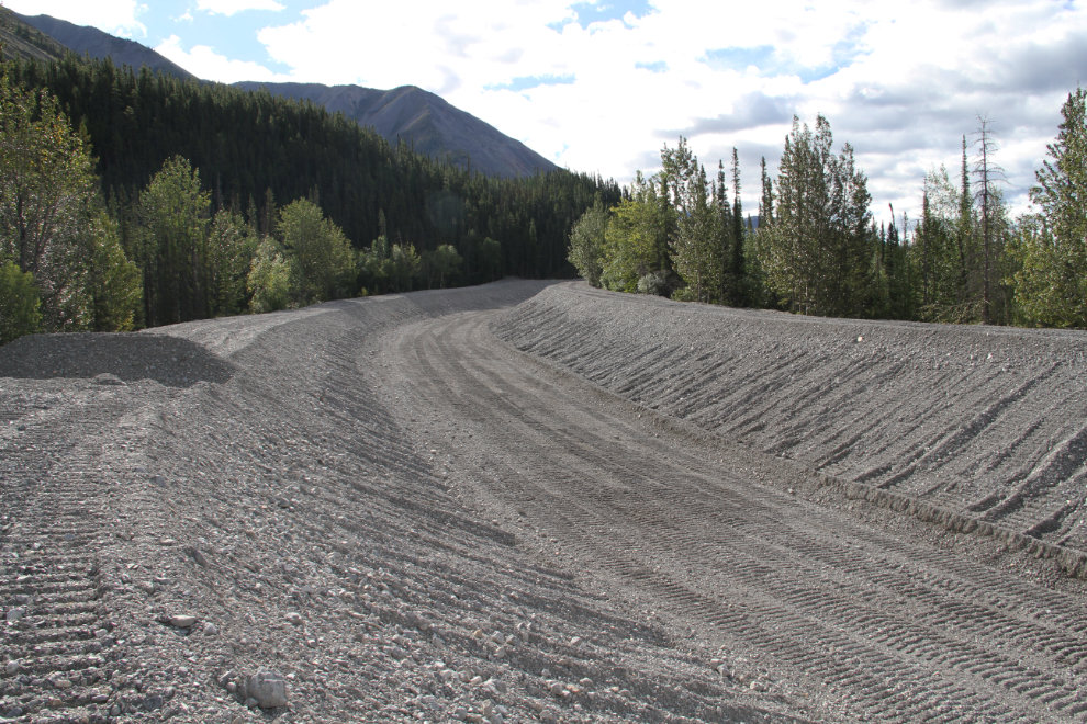
The amount of gravel that’s been shoved around to control spring floods is quite amazing, but work continues every year. This new channel is at Km 711.3.
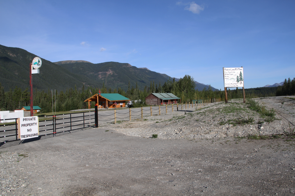
Staff at the Watson Lake Visitor Reception Centre recommended the Muncho Lake RV Park at Km 710.1, and new signs along the highway point to it. The owner of the property apparently came up with a new plan, though, and it appears to be some sort of private RV club or co-op now.
The view south at Km 699, just north of the Muncho Lake community and the Double G Service lodge.
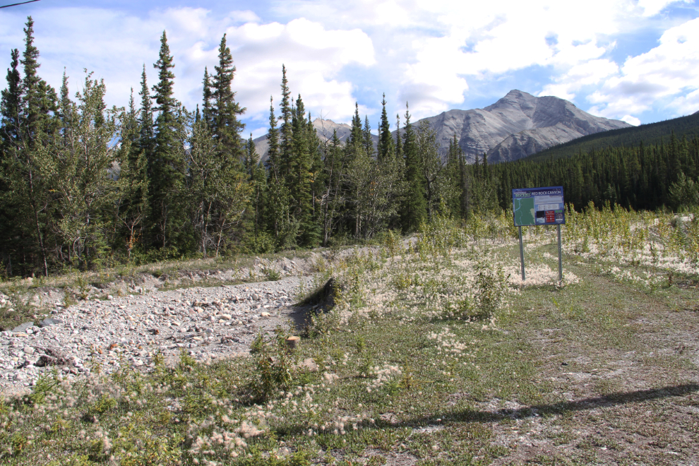
The Red Rock Canyon Trail at Km 697.4 is as far south as we went. It didn’t look all that interesting, though, and even the aerial photos aren’t enticing compared to the many other hiking options in the area.
The federal government is in charge of the Alaska Highway in much of British Columbia. While most of the kilometer-posts are the usual small green ones, each sign marking even hundreds of k is a special one with a red maple leaf. The Km 700 sign is seen on the right in the next photo.
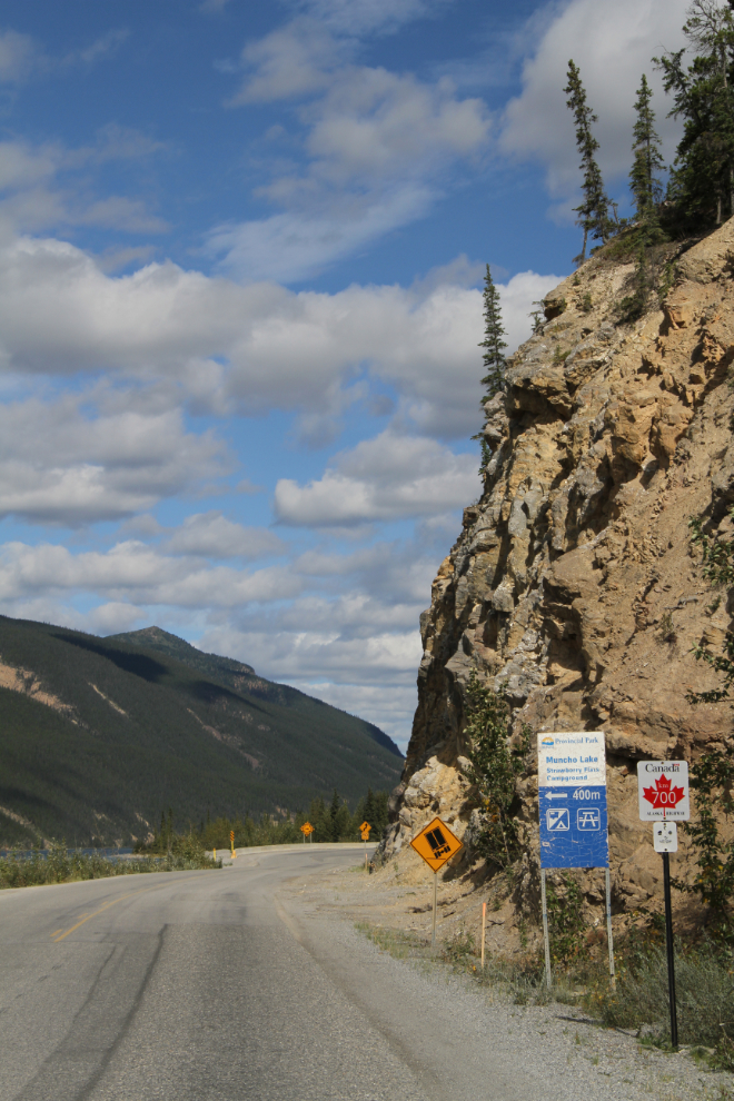
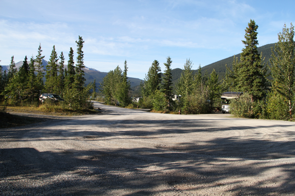
There are only 2 small government campgrounds in Muncho Lake Provincial Park. Each has 15 sites, and costs $20 per night. Strawberry Flats Campground is pinched between the highway and the lake at Km 700.5.
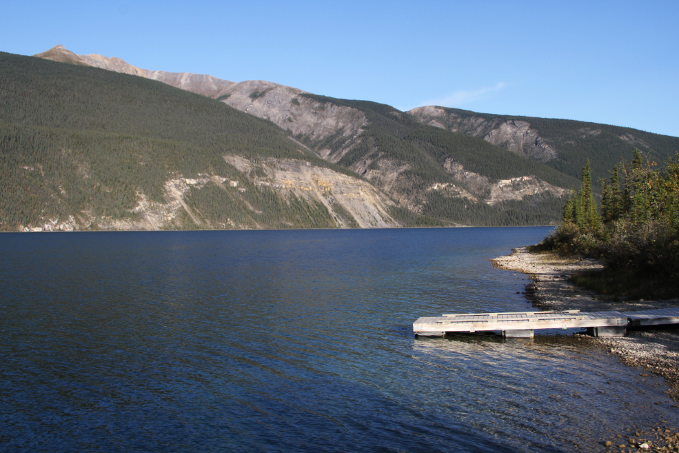
The next photo shows the turnaround at the north end of Strawberry Flats Campground. Most of the campsites are right on the lake, with a nice gravel beach steps away from the picnic table and firepit at each site.
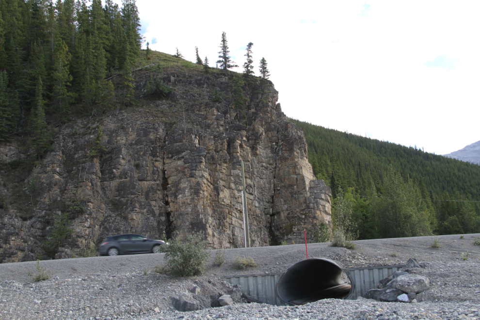
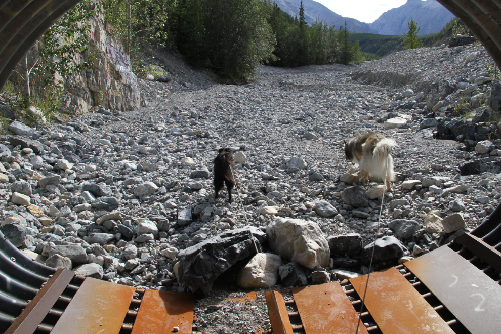
Going for a walk along the beach north of the campground, we came to a culvert under the highway. It’s just over 6 feet high, and I always like to get Bella and Tucker used to unusual situations, so we walked through it. Bella was okay, but Tucker wanted no part of it! He eventually gave in and came with me, though. They were on leashes so he didn’t have a lot of choice, but he did come without being dragged.
There, one more bit of reinforcement that I only ask them to do things that are reasonable 🙂
From there we walked over to the start of the Old Alaska Highway Trail, which is the next post.