Days 3 & 4: Driving from Dawson Creek to Farwell Canyon
Although I had planned to get some work done on the RV in Dawson Creek on Saturday, April 28th (Day 3 of the trip), that didn’t work out. As a result, I was away early, with no real schedule for the day. I’d just see what was happening along the Hart Highway, and park for the night where it seemed appropriate.
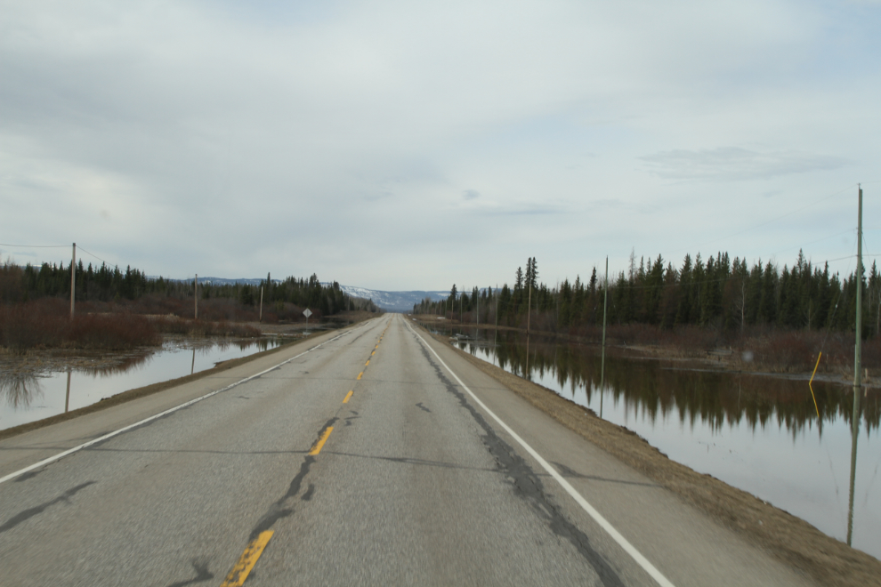
There was a fair bit of flooding along Dawson Creek, and I had an urge to do some wandering and get some photos, but kept on going. Along the section of BC Highway 97 known as the Hart Highway (from Dawson Creek to Prince George), there was still a fair bit of snow.
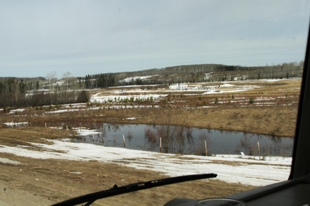
Although there was no dangerous flooding, there was a lot of water, and creeks were all flowing pretty much at capacity. There is normally no water along the highway here, just grass.
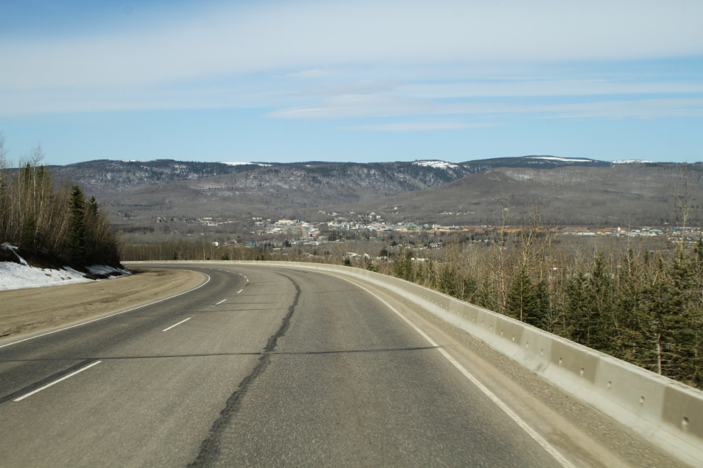
I had been so focussed on the motorhome that I’d neglected to fuel up in Dawson Creek (at $1.299 per liter). I realized it within a few minutes, but decided that Chetwynd, seen in the next photo, would work. Both gas stations there were busy, neither are big-rig-friendly, and gas was 9 cents per liter more expensive, so I just put $100 as a comfort level to reach Prince George. The station was out of regular, so they were pumping premium at their regular price ($1.389).
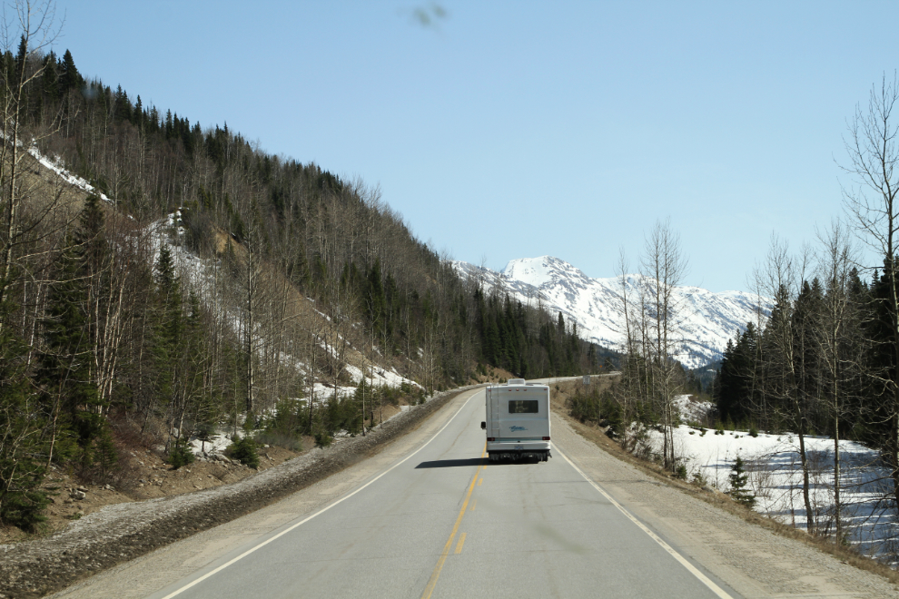
Going south from Chetwynd, you’re soon back in the mountains (which is where I like to be). Massive flooding and highway damage here 2 years ago resulted in tens of millions of dollars being spent on creek control and new, higher bridges. With one exception, those projects were easily containing this year’s flow. The exception was where the controlled creek was almost dry, but an uncontrolled torrent was about 100 yards away – apparently the creek cut a new channel further up the slope.
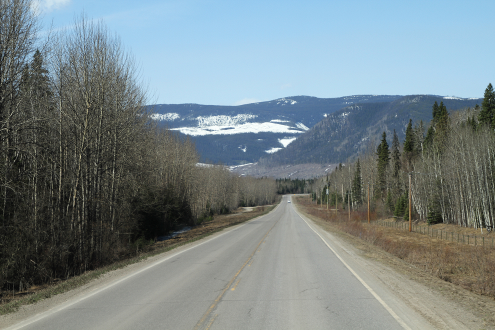
This isn’t a dramatic drive, but it’s very pretty, with the Pine River alongside the highway for much of the way.
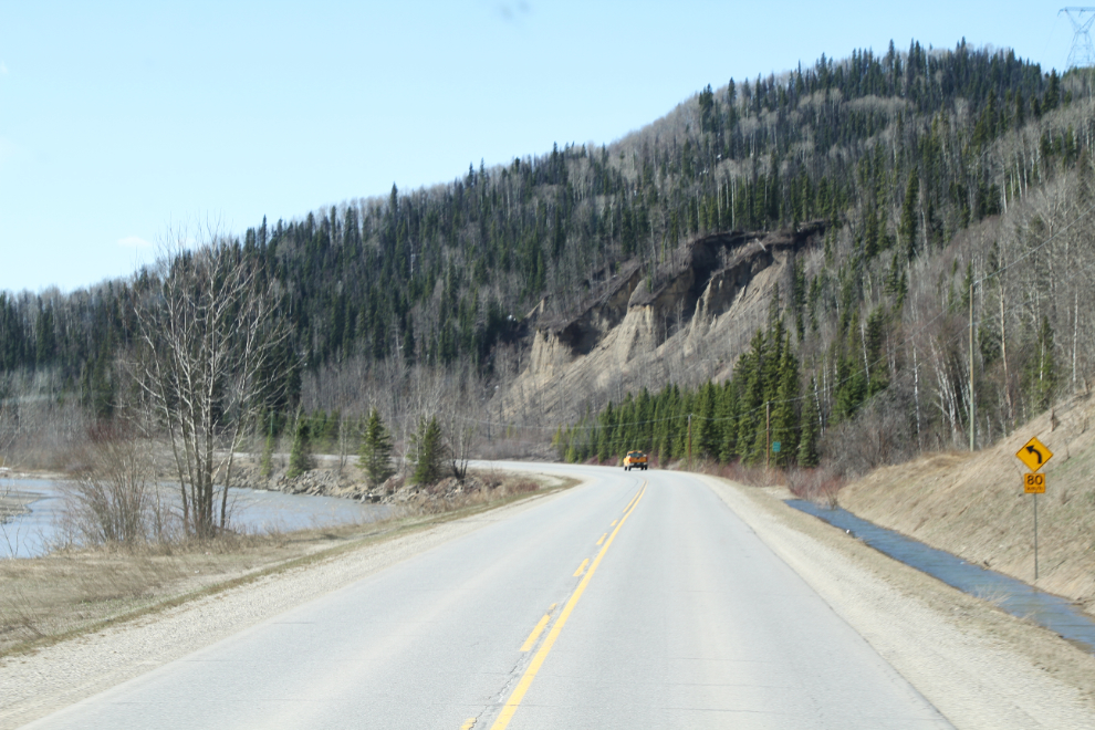
The Pine River is often a broad, wandering stream, with lots of logjams. It would be a very poor river to canoe/kayak.
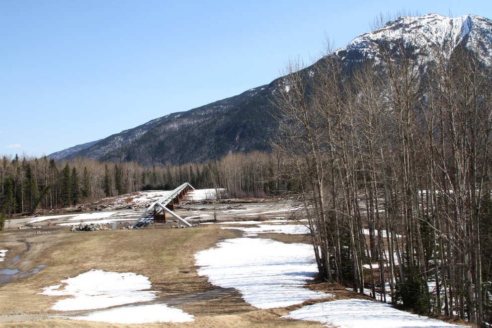
The East Pine Rest Area is usually a good place to let Bella and Tucker play free, but this year, there was too much snow. About 10 km back, though, a pipeline crossed the Pine River and there was a large grassy area there, so I unhooked the Tracker and we headed back.
The Pine River, and a railway overpass ahead.
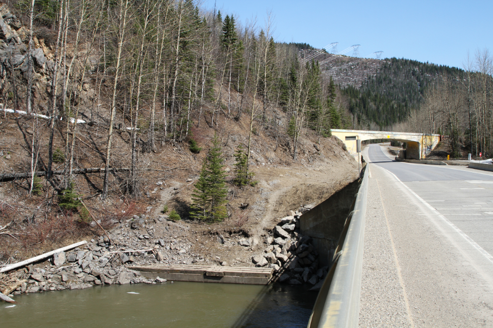
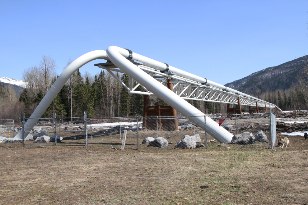
This pipeline crossing has always intrigued me. I remember it being built, and that seems like a long time ago – the 1970s, perhaps.
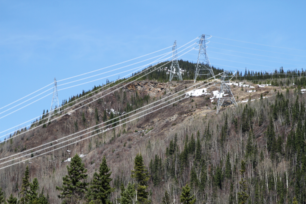
Above the pipeline, 4 power lines taking electricity south from the W.A.C. Bennett Dam at Hudson’s Hope. There’s quite a buzz coming from those lines. It’s hard to imagine the billions of dollars that have flowed through this valley via wire and pipeline over the past few decades.
The pipeline crossing is an interesting structure – nothing fancy but very efficient. Spectra Energy now owns it, but I think West Coast Transmission built it.
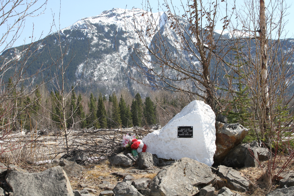
Near the pipeline bridge is a memorial with a plaque that says “August 16, 1996. Barry and Vijay. Always with us.” A search of newspaper archives hasn’t revealed any details.
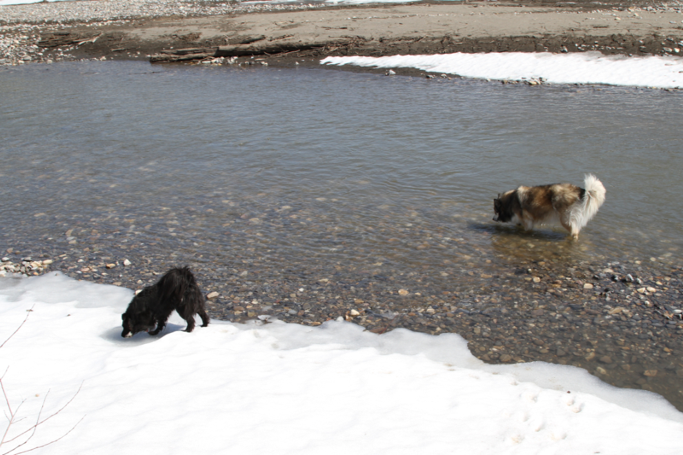
Bella never passes up an opportunity to get her feet wet. Tucker, on the other hand, isn’t a big fan of water.
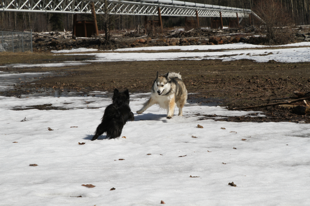
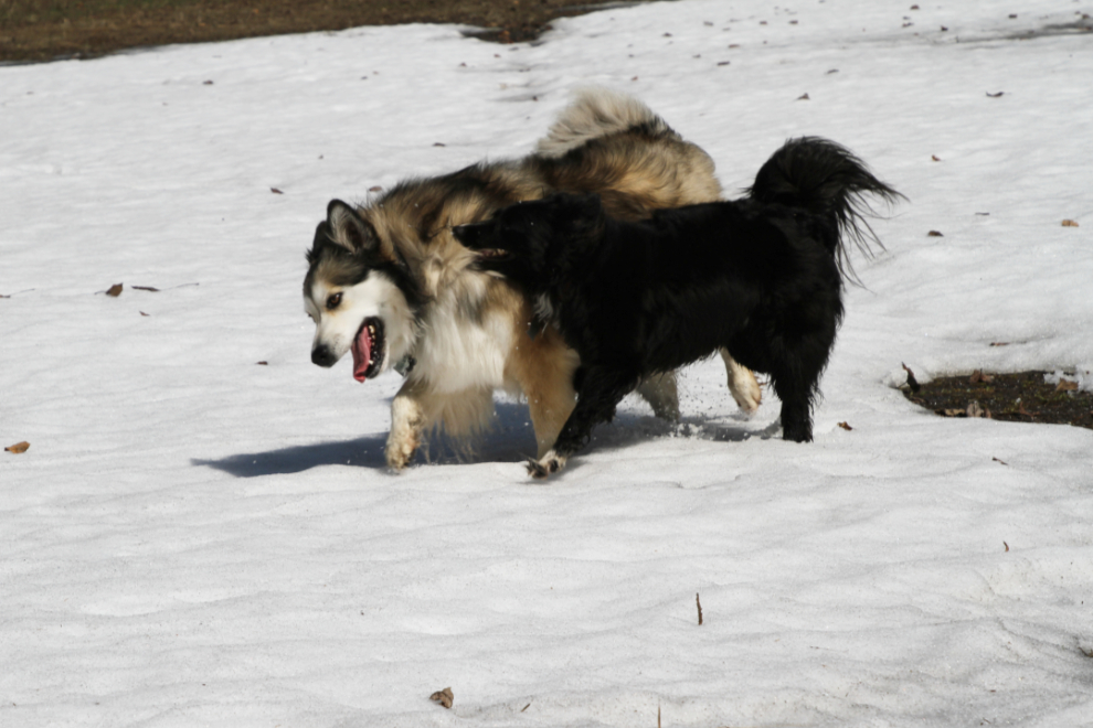
Tucker was much more successful getting Bella to play than he was at Muncho Lake. Here, they played hard, mostly in the soft, wet snow 🙂
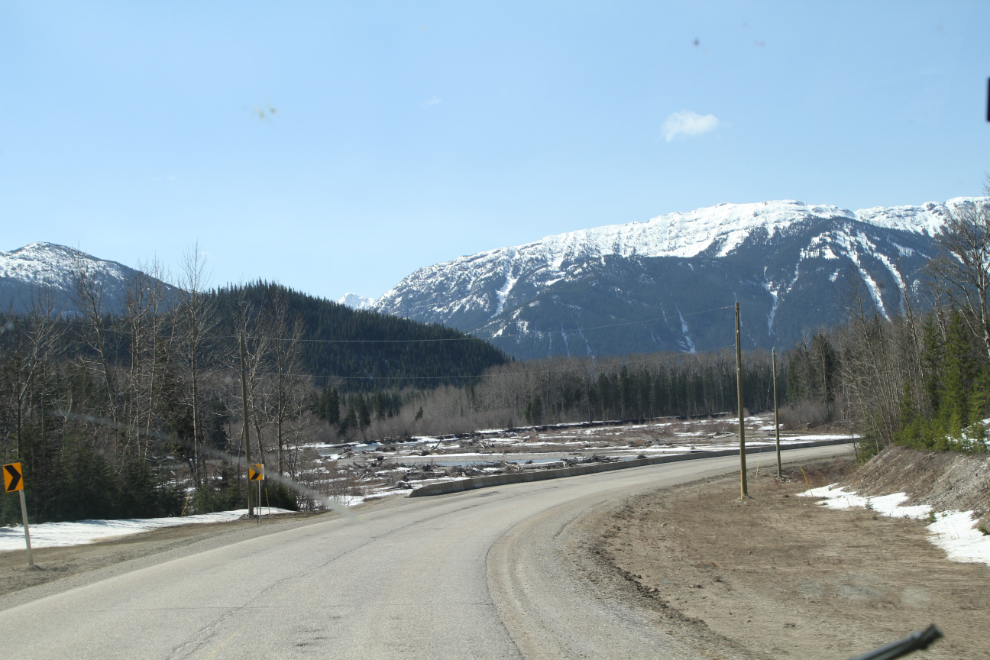
By 1:30, we were climbing up to Pine Pass, where a few snowmobilers were getting their final play of the season in.
From East Pine, it was a long day of driving, but with the great play the kids had at the Pine, I didn’t feel too bad about it. I stopped to fuel up in Prince George, which consistently has the lowest prices in BC. Most stations were $1.249, a couple were $1.234.
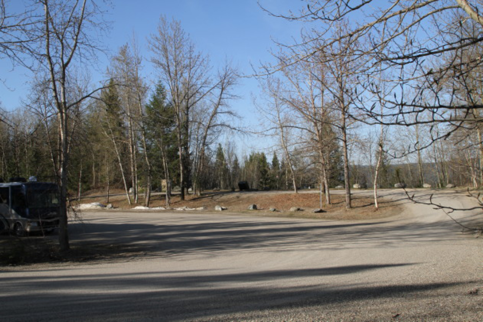
Just after 5:30 pm, I stopped at a rest area north of Hixon – a spot that my weather app calls Woodpecker. Nobody sleeps well while I’m driving, and Bella and Tucker crashed as soon as we got back from a walk.
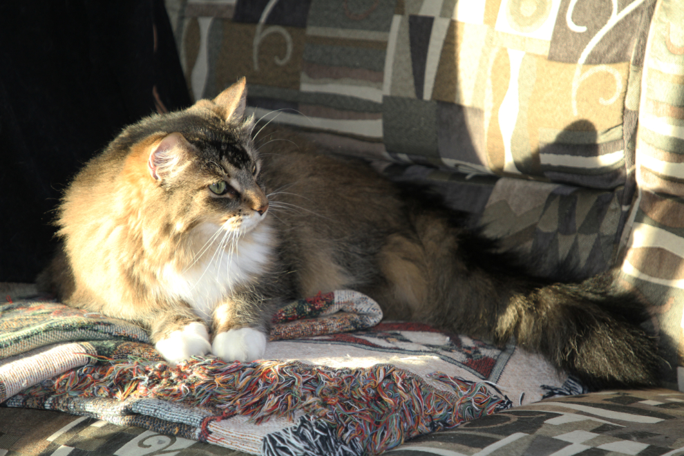
Molly was content in her sunbeam.
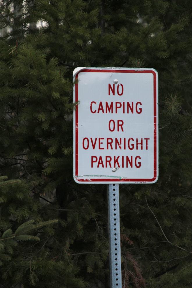
Signs like this aren’t often seen in BC anymore, but when there are no campgrounds open yet, the rules don’t apply anyway. Signs asking people to not stay more than 8 hours are more the norm in BC now. That’s a much more reasonable rule – when I’m tired, I’m stopping, and don’t care what any signs say.
The rest area is well below the highway, and it was a peaceful night, those I was surprised to hear vehicles driving through the rest area all night. In the morning (05:30), it was -1½C, and there was no hint of Spring.
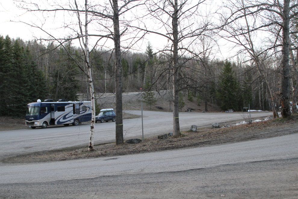
The rest area was much nicer when the sun finally came over the mountain and lit it up. I shot this photo just as we were about to leave, at 08:25.
I had planned to talk to the folks at the Williams Lake Visitor Centre about weather and road conditions, but they were closed – Monday-Friday during the off-season. I checked what I could on my phone, and finally decided to head west on Highway 20 and then to Farwell Canyon. That had been my plan, but the weather looked like it was to get cold and cloudy, so was thinking about changing that plan.
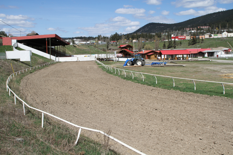
From the Visitor Centre I drove over to the Stampede Grounds to top off my water tank, but the water hadn’t been turned on yet. I didn’t need water yet, but I have water from my well at home in the tank now, and I like to add treated city water as soon as I can so it stays fresh longer. It was fun stop anyway, though. While chatting to a couple of local guys dumping their trailers’ tanks there, one noticed Bella sitting the driver’s seat as usual, and asked if his daughter could meet her. Hell yes – they both had a very good visit. Bella with a kid who wants to snuggle is at her most adorable 🙂
At 1:45 pm, the turn off Highway 20 onto the 2000 Road, the Farwell Canyon Forest Service Road, was just ahead.
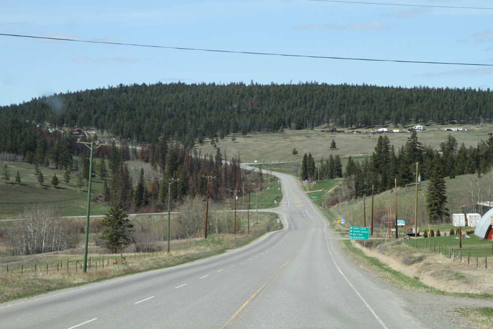
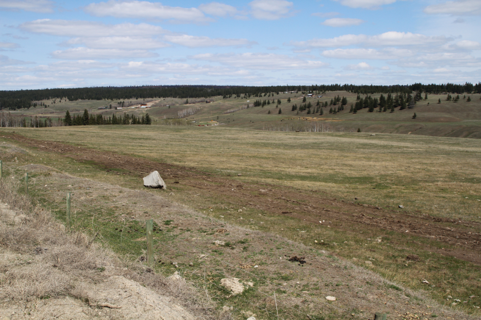
The Farwell Canyon Road begins in high cattle country, just below the tree line.
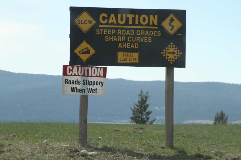
The gravel road was a bit rougher than it has been, but not bad. I soon stopped, took the burner gate off the stove ad put it on the floor so it didn’t bounce off and scare the kids (Bella in particular). At about Km 16, I stopped again to take a photo of the warning signs just before the steep, winding drop down to the Chilcotin River.
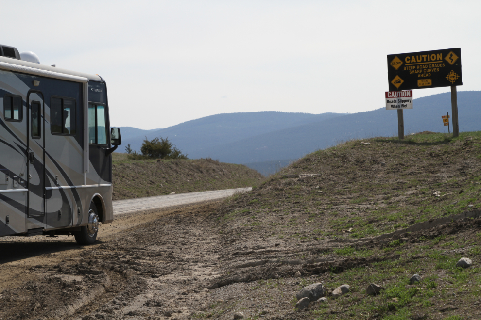
Did they miss any dangers that might be ahead? 🙂
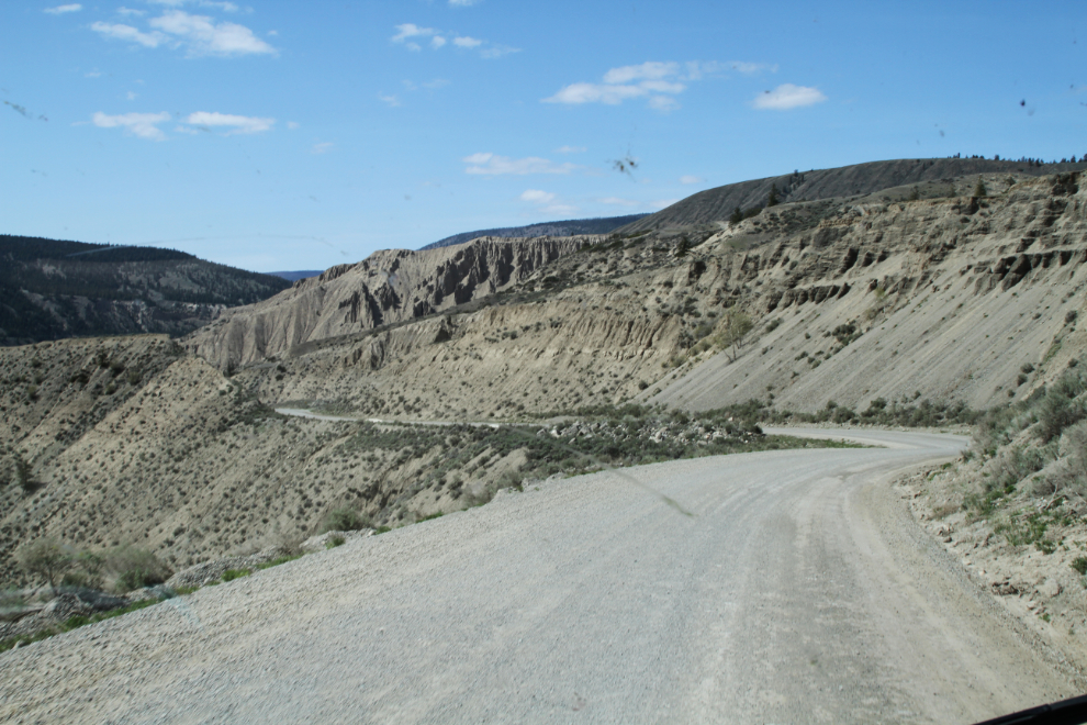
Nearing the bottom of the grade.
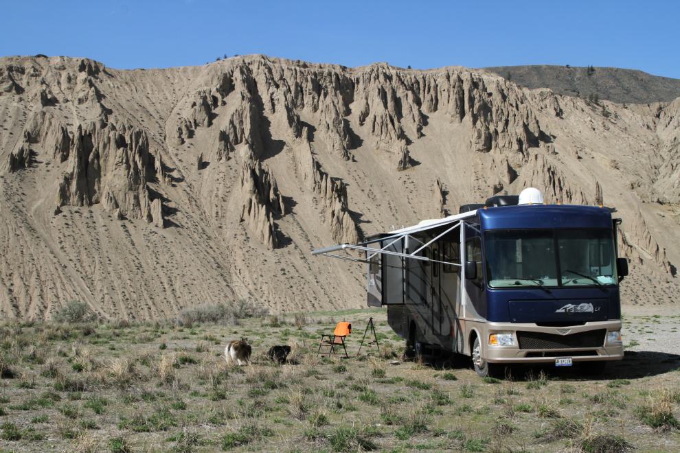
By 2:30, I was set up and ready to chill. The sun was gorgeous and it was probably about 22°C. Tomorrow would be exploring day.
As I finish writing this post, it’s Monday at 06:45. There’s not a cloud in the sky and the sun just hit the rig. Time to get breakfast on and get this day going (though everyone’s asleep and I hate to wake them). At this point I don’t know how long we’ll be here – 2 or 3 nights. It’s great being able to say that I’ll leave when I’m in the mood to leave.