RV camping at Dezadeash Lake and Million Dollar Falls Campgrounds
I got home at noon last Wednesday (August 3rd) from a week off-grid at 3 Territorial campgrounds in the Kluane area – Dezadeash Lake, Million Dollar Falls, and Congdon Creek. I was back on the road to the White Pass again less than 48 hours later, so I’m way behind with the blog now. I’d like to go back and tell you about that Kluane trip, though, because it had several aspects that I’d like to share with you.
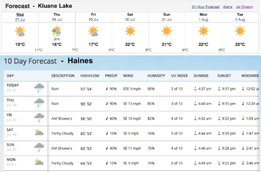
The weather is one of the main determining factors in deciding where to go, the other being accessibility – it has to be somewhere that Cathy can join me for the weekend. Once again, Kluane, was the winner. While not a great forecast, it was far better than any other direction. I decided, though, to start off down the Haines Highway to try out Dezadeash Lake and Million Dollar Falls Campgrounds.
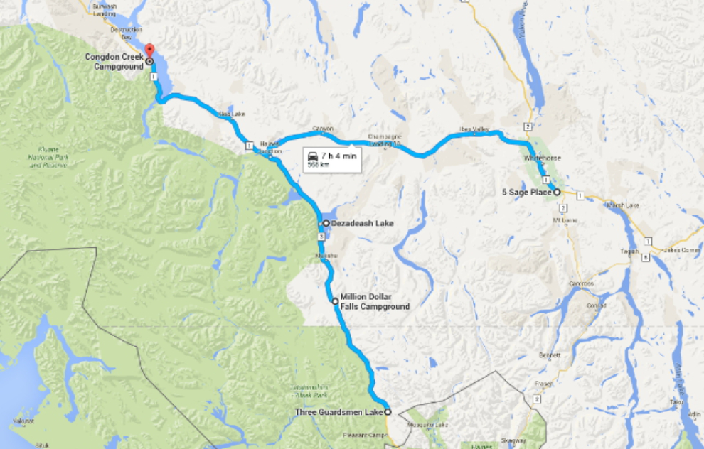
This map shows the route I had planned, though because of poor weather I didn’t go down as far as Three Guardsmen. Click here to open an interactive map in a new window.
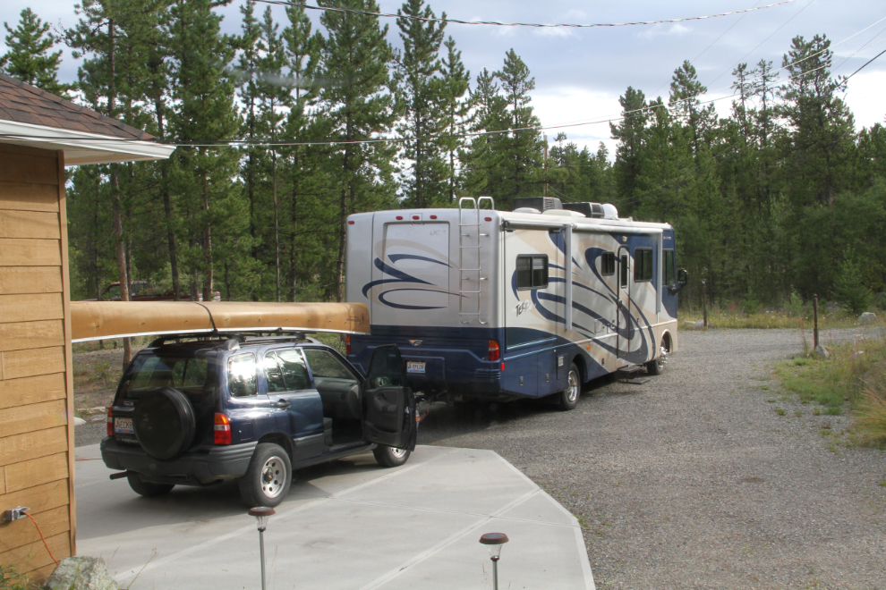
I was pretty much ready to go by 09:00, but then I just couldn’t get out of town. I had some final groceries to pick up, then I just did this and that, and it was 12:30 before I pulled away from Whitehorse.
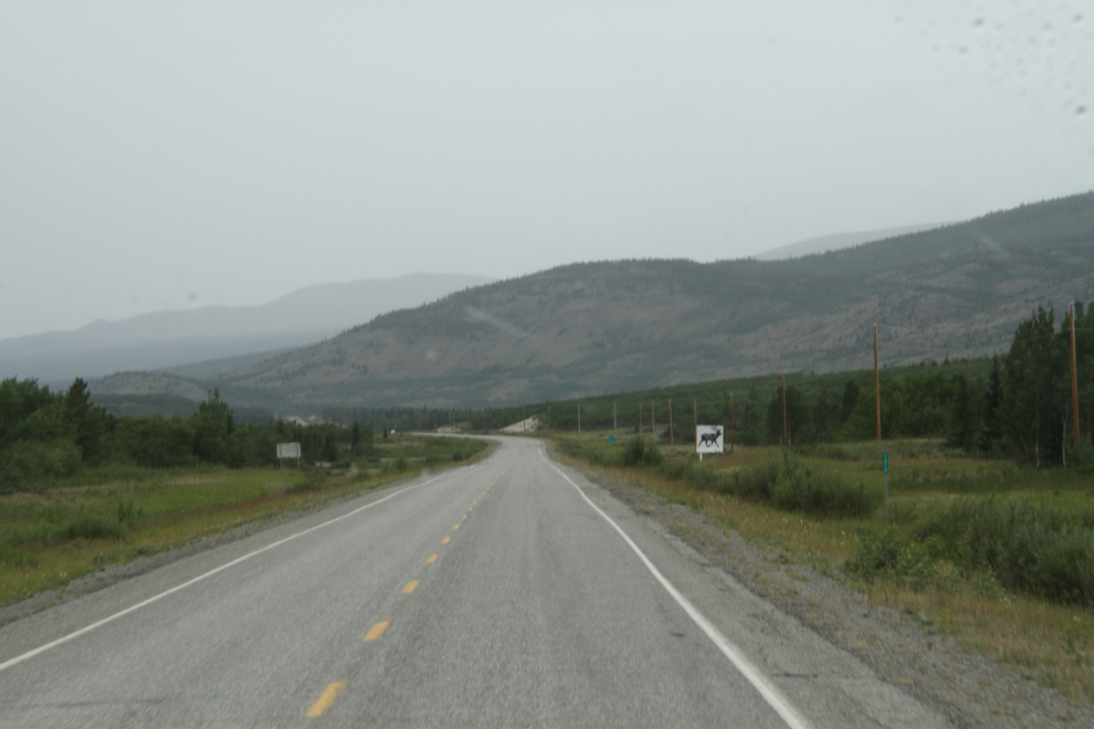
A few minutes from Whitehorse on the Alaska Highway, it started raining. All that time washing the vehicles wasted…
Nearing Haines Junction, the rain stopped. This rest area is at Km 1566 of the Alaska Highway.
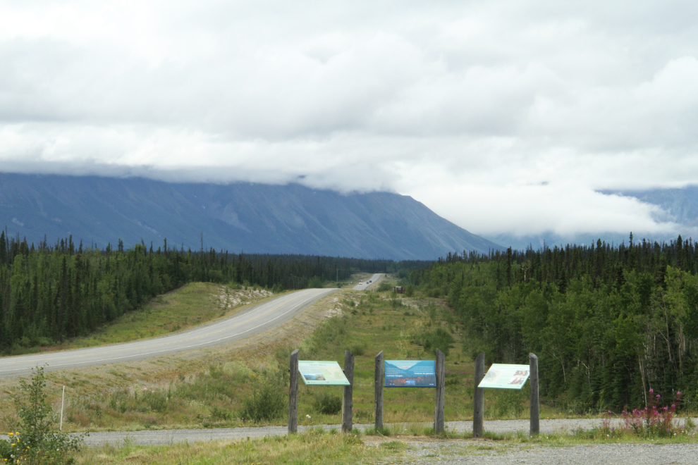
My plan had been to go to Million Dollar Falls Campground the first night, but as we got near Dezadeash Lake Campground, I decided that was far enough – it appeared to be raining hard south of there.
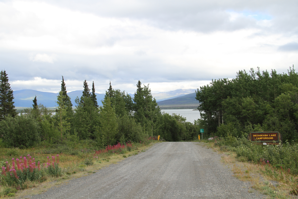
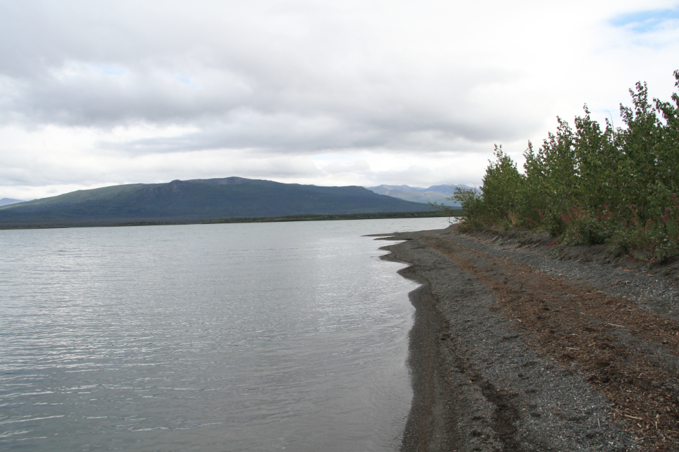
Dezadeash Lake Campground, at Km 195.7 of the Haines Highway, is on an odd triangle of land sticking out into the lake. It looks like a creek delta, but even from the air, there’s no hint that a creek formed it. The water level was quite high, so the beach wasn’t very wide, and there was no good place to run the Bella and Tucker off-leash, though others were.
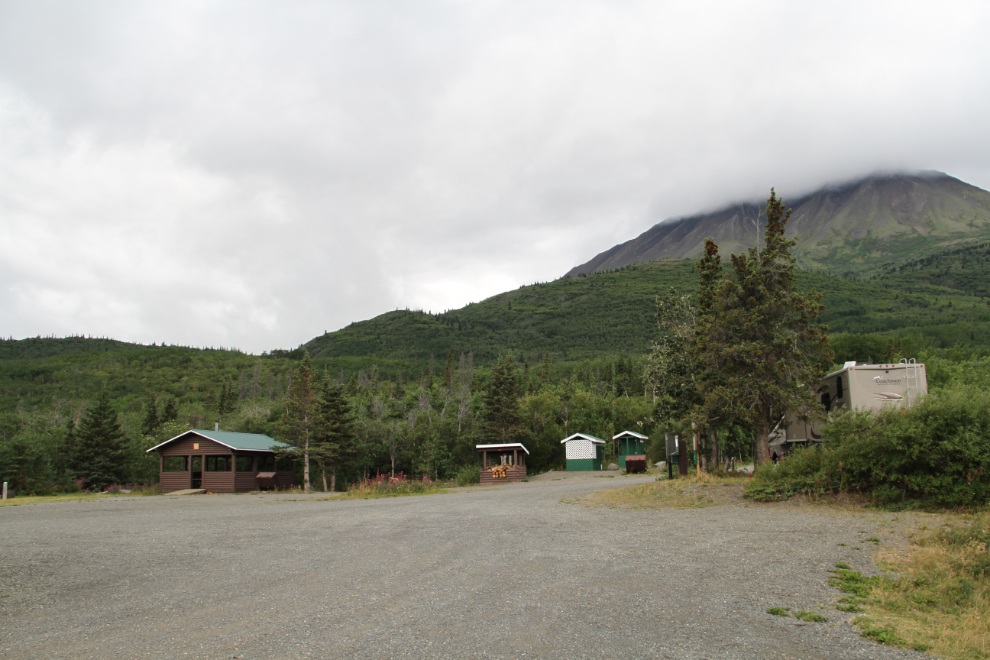
Dezadeash Lake is a small campground, only 20 sites, and there was only one RV set up when we got there just after 3:00 pm.
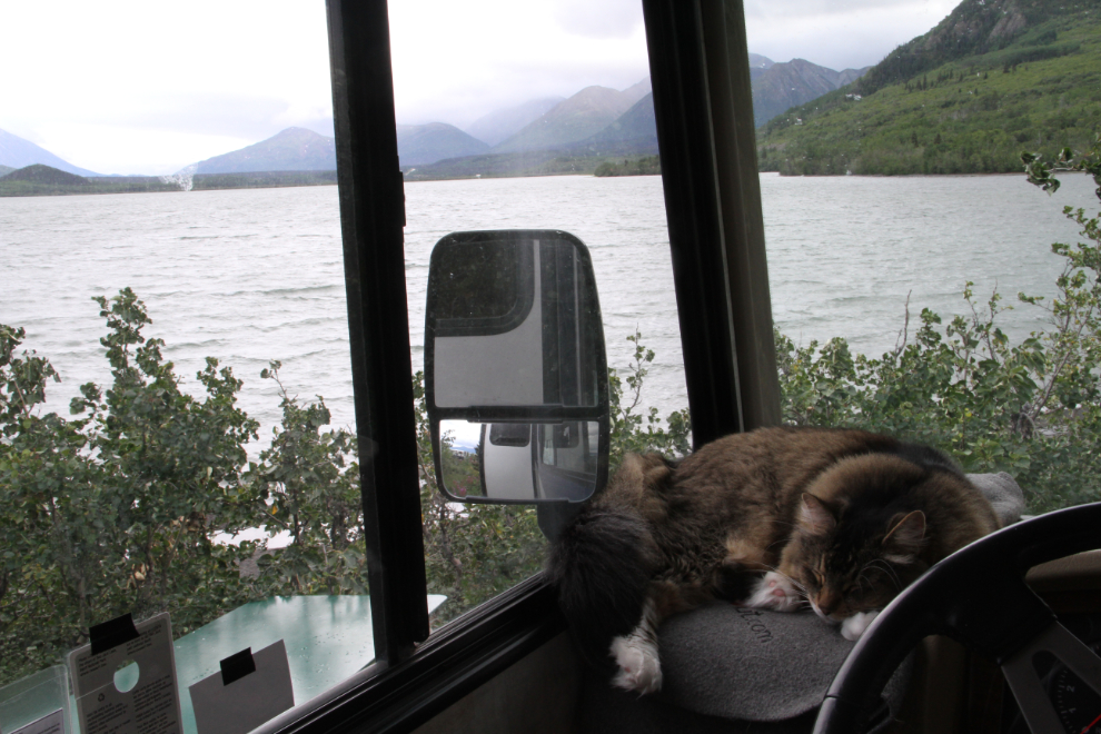
Molly always settles in very quickly. By the time the dogs and I got back from an exploratory walk, life looked pretty good for her 🙂
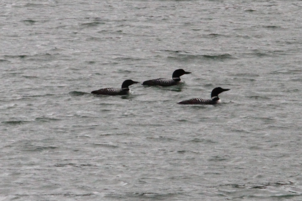
It started raining soon after we arrived. Sitting in the rig reading, I was surprised to see 3 Common loons (Gavia immer passing by our campsite – I usually see them alone.
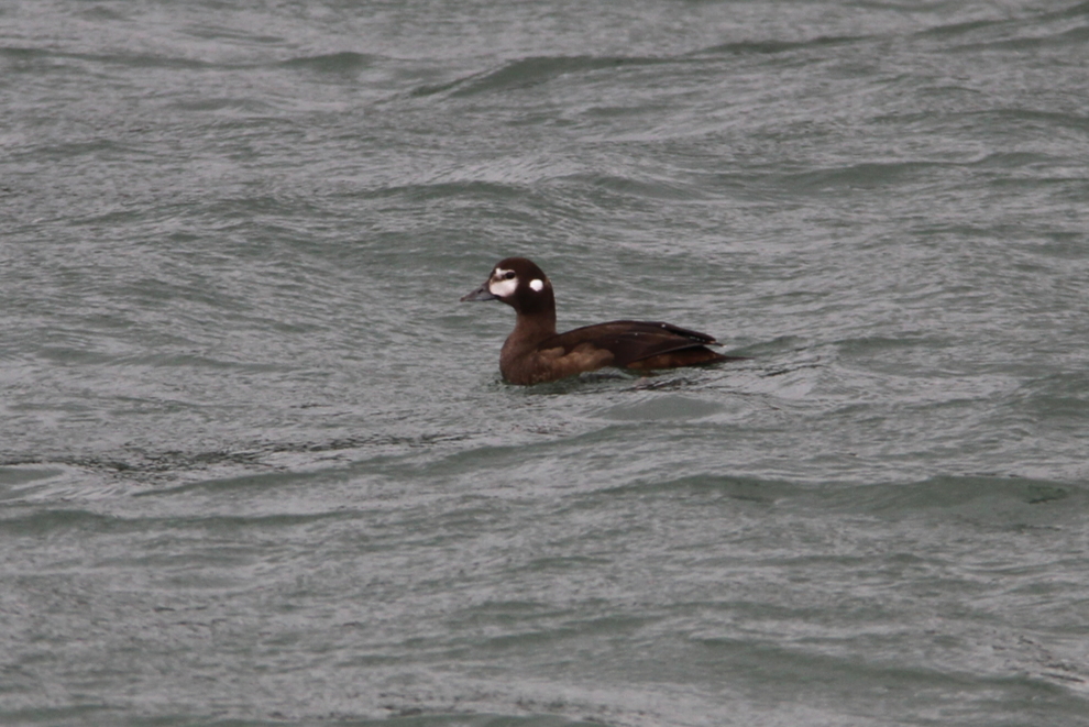
I took the dogs for another walk (in the rain) soon after the loons went by, and as we got back to our campsite, this Harlequin duck (Histrionicus histrionicus) sailed calmly close by us.
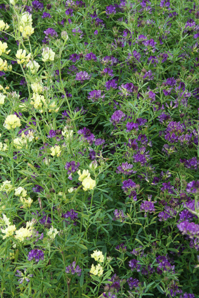
I haven’t been able to identify these waist-high shrubs. The fact that they were only in a fairly small area at the entrance to the campground makes me think that they may be an invasive species.
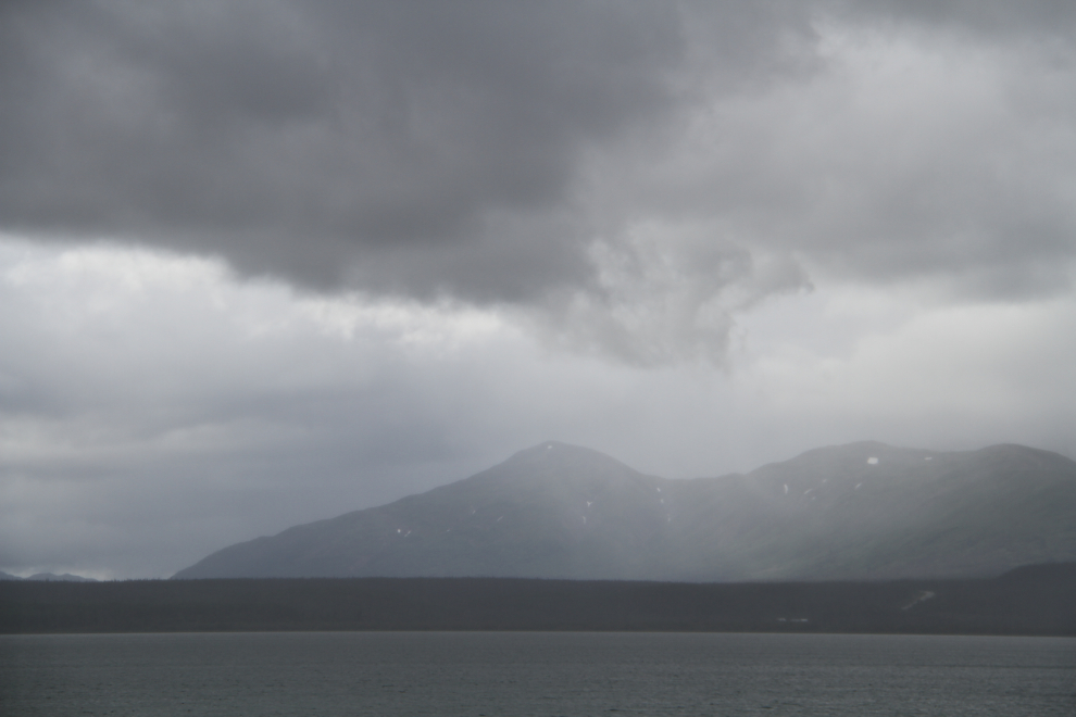
The wind blew all night and the weather was cold, windy, and wet on Thursday morning. We were going to Million Dollar Falls regardless of the weather, though, so I took this photo and then we started that short drive just before 11:00.
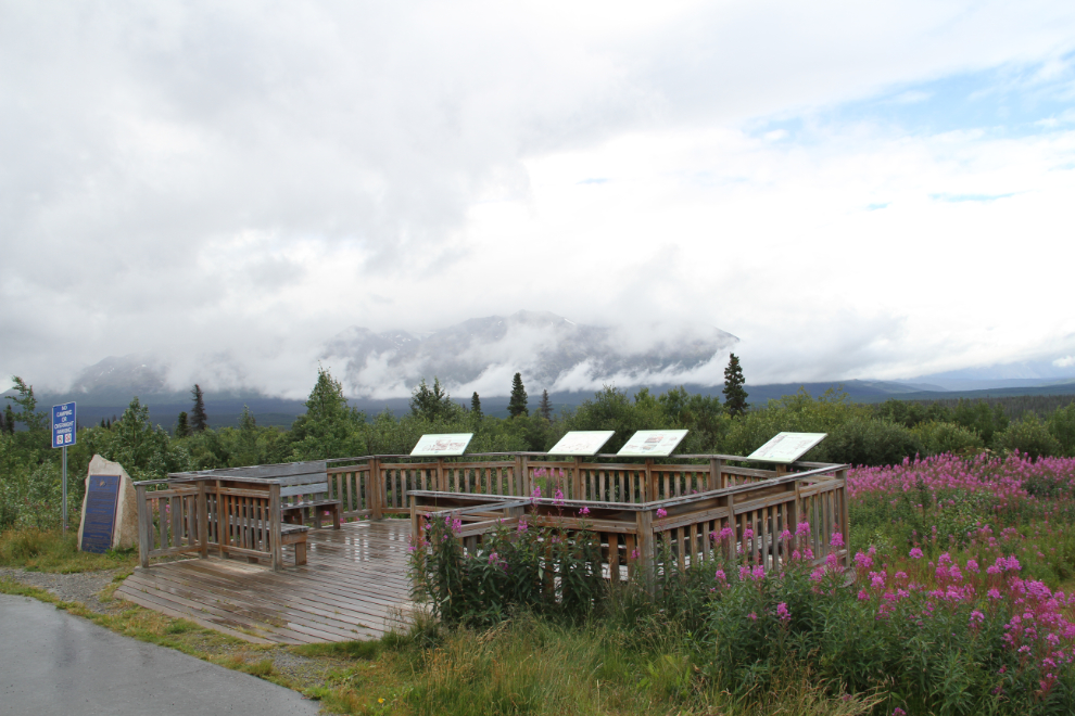
I stopped briefly at the Kluane Range viewpoint at Km 162, but clouds obscured much of the view. The blue panel on the rock to the left commemorates the designation of the Tatshenshini River as a Canadian Heritage River in May 2004.
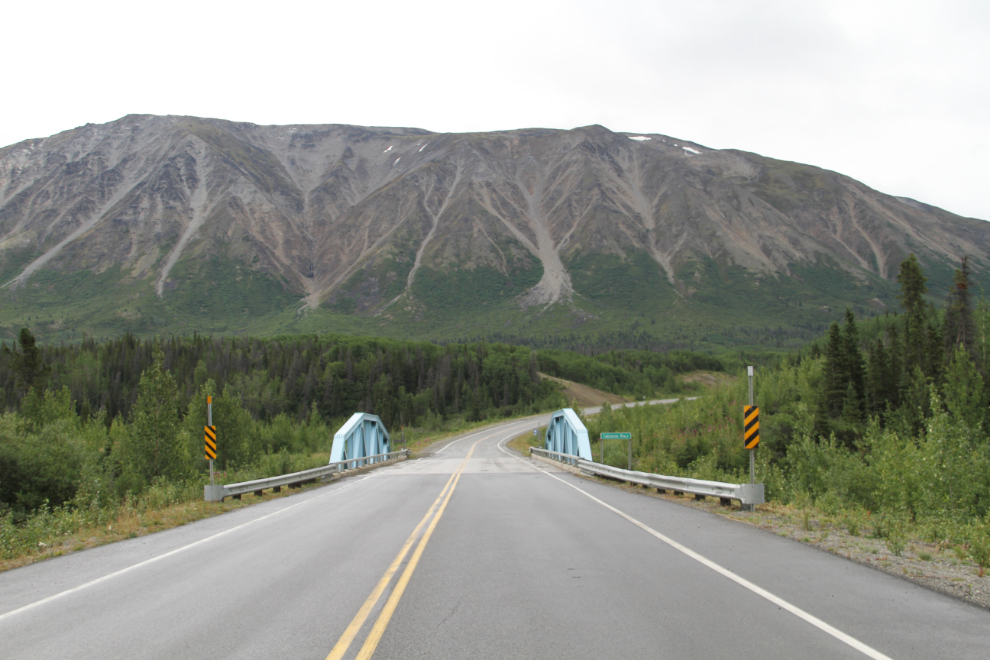
The Takhanne River bridge at Km 159.2 – the entrance to Million Dollar Falls Campground is just around the corner ahead.
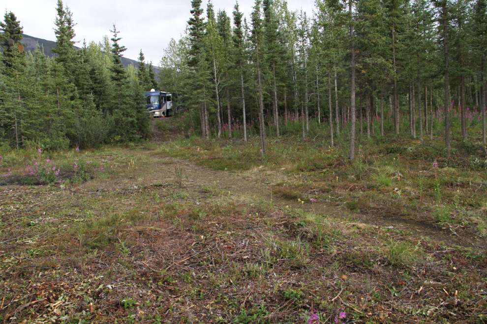
I looped around the campground and decided that I liked site #7, which was very open and had great access to the trail and stairs to the falls. This is the view of the site from the waterfall trail.
The view of the Takhanne River from the top of the stairs.
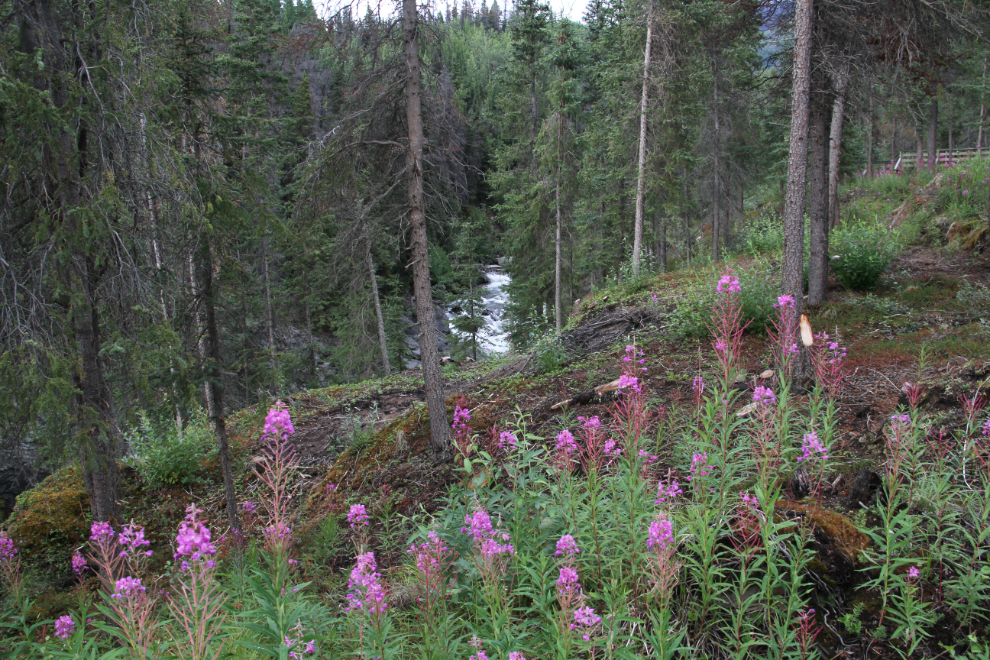
An extensive network of stairs and viewing areas provide access to the falls.
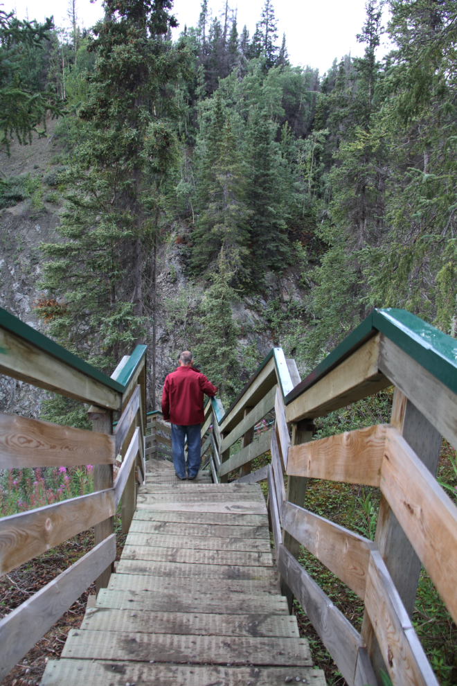
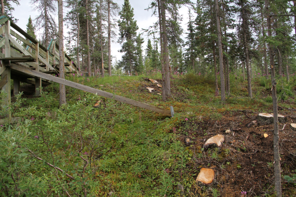
A great deal of logging and brush clearing has been done recently (last year?), and the slope above the river is much more open now – it was getting to be very dark and views were getting to be quite limited.
Bella and Tucker and I did a lot of walking on Thursday – the campground and the access road from the highway provide great scenic walking. The weather on Thursday night was really erratic, but it was nice enough for a while that I built a campfire and the dogs and I had a very nice hour or so in front of it before a cold wind returned with rain and drove us inside.
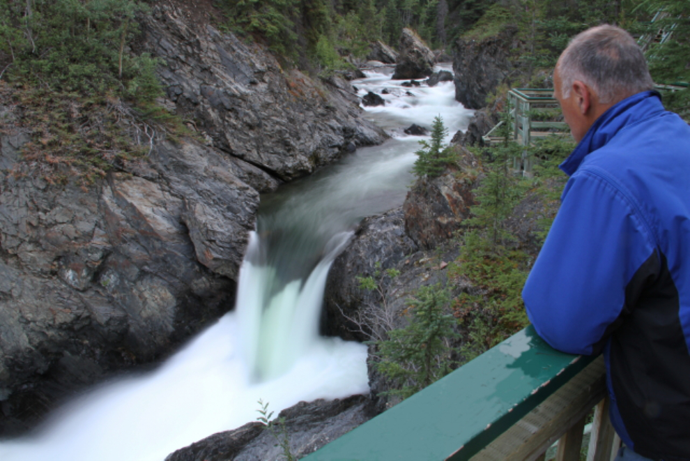
I was up early on Friday morning to go back down to the falls to do some long-exposure shots. This one was shot at 06:35 – it’s a tripod-mounted selfie, shot at ISO 100 and f>20, with a 1.6-second exposure. The grafitti carved into the handrail has been edited out of this image.
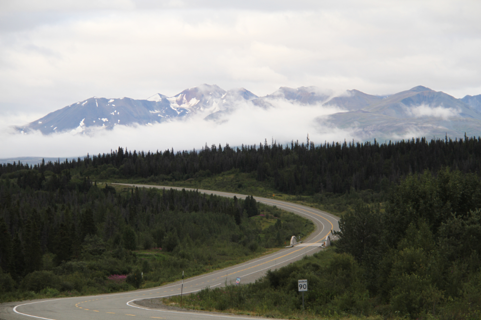
After breakfast, we drove south to see if the weather was any better towards the Haines Summit. By the time we reached the Yukon/BC border at Km 145.5 it wasn’t, so I decided to turn around. That’s the Blanchard River bridge ahead.
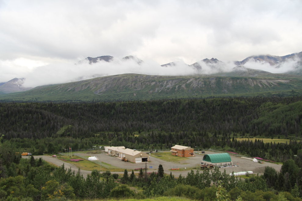
The Blanchard River Highways Department camp below the highway.
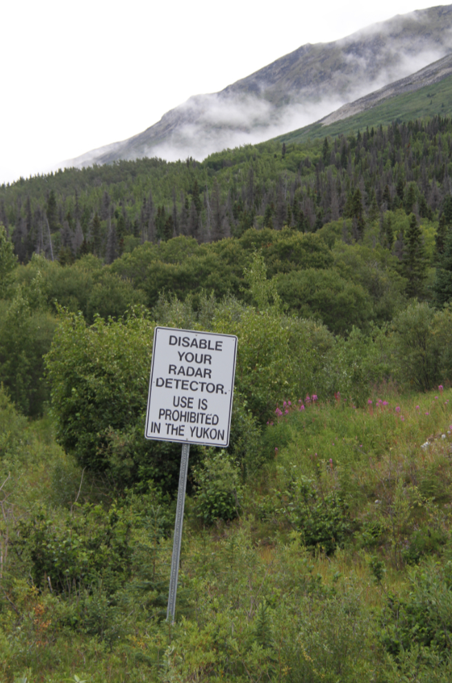
I found this sign funny. I didn’t know that radar detectors were still a thing, and the fact that it still says “the Yukon” dates it back prior to about 2000, before the government decided that it should just be called “Yukon”.
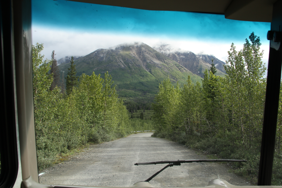
Leaving Million Dollar Falls Campground at 09:30. Cathy was going to join us at Congdon Creek Campground on Friday night, and I wanted to get there early so we could get a lakeshore site.
Right at Kathleen Lake, the skies suddenly cleared, and at 10:25 I stopped at the Haines Junction viewpoint for a few photos, to check my phone for messages, and to send Cathy a text that we were on our way to Congdon Creek.
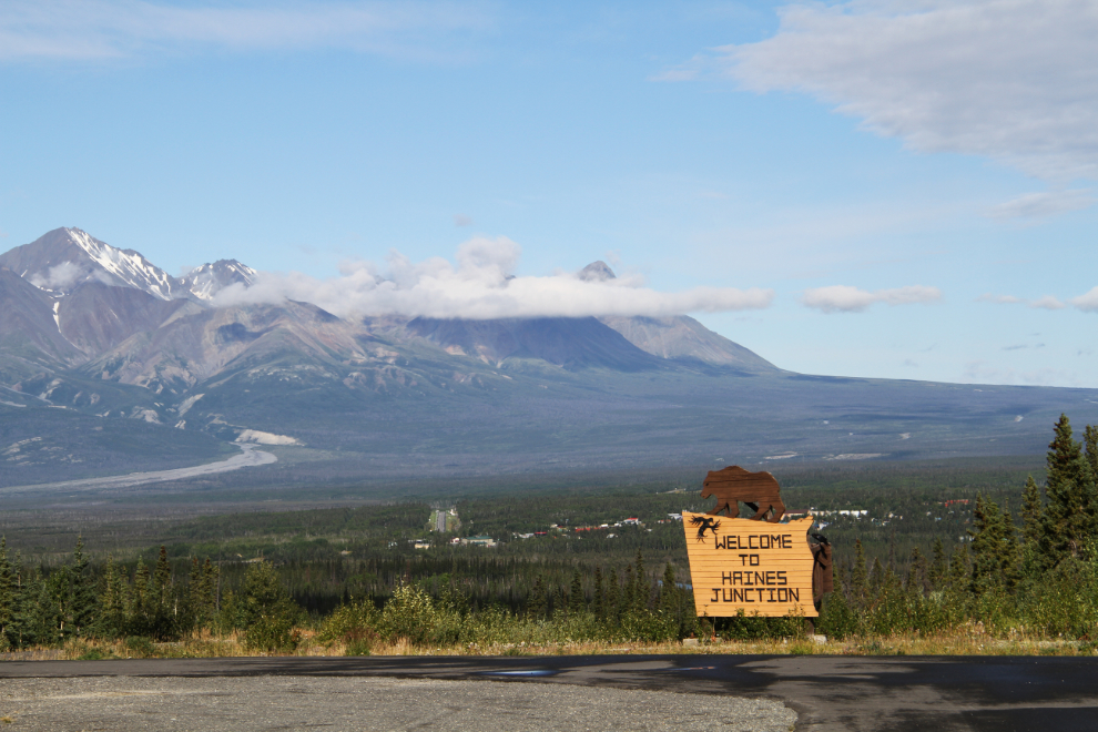
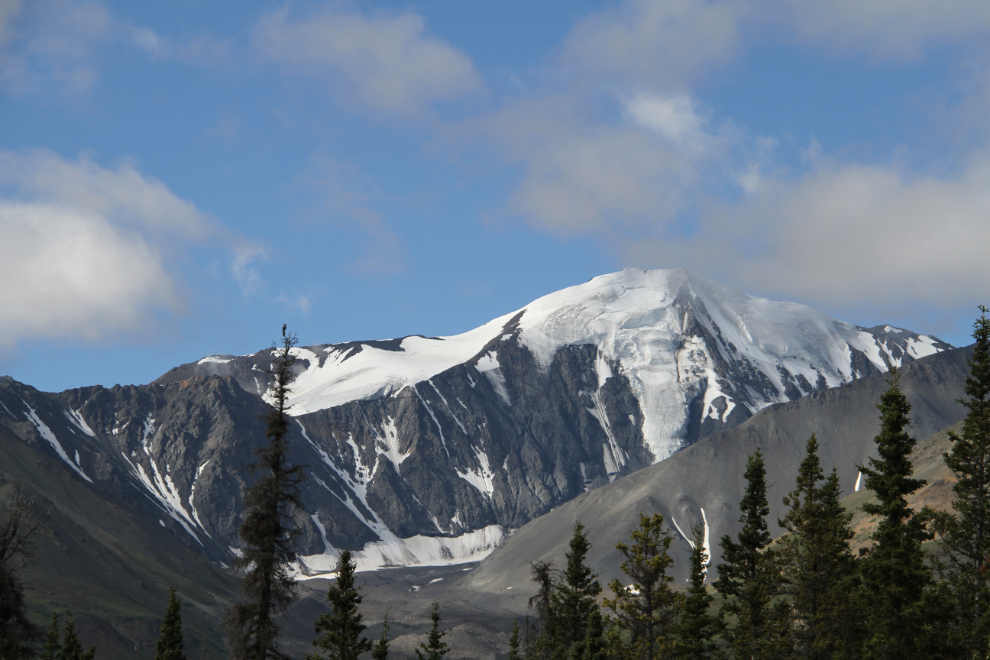
There, that’s better weather to enjoy the spectacular views along the Alaska Highway en route to Kluane Lake!
The first view of Kluane Lake as you drop down from Boutillier Summit (Km 1633) always excites me – I love that country.
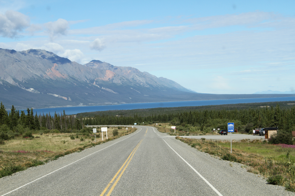
Things were looking good for a perfect weekend… 🙂