From Haines Back to Whitehorse by Motorcycle
Although I went to bed early Tuesday night, and the weather forecast had been good for Wednesday, it was very dark when I got up. Even though it was an hour and a half before sunrise (which would be at 07:44), I knew that there must be a heavy cloud layer.
I went for the motel’s free “breakfast” (coffee and toast), pondered the morning’s possible activities, edited the previous day’s photos, and just generally killed time until about 7:15 when I put on my riding gear and headed out. I’d never been south on the Chilkat Peninsula, so that would be a good place to start my exploring.
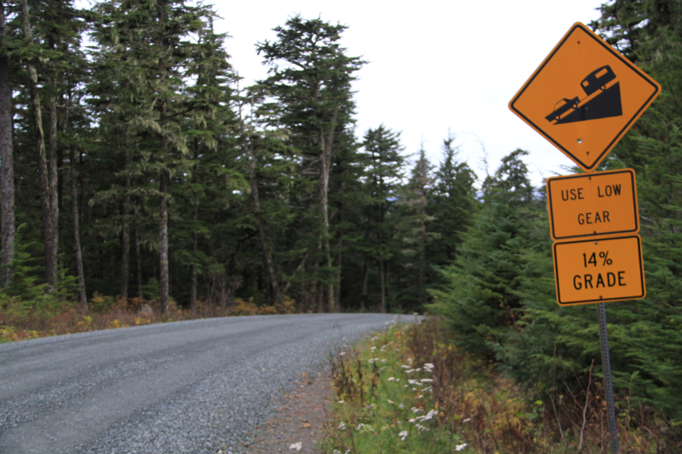
It was too dark for decent photography, so I just wandered, eventually going down the road to the beach and campground at Chilkat State Park. This combination of steep, and a loose gravel road surface, are not friendly to big bikes.
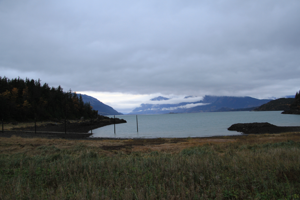
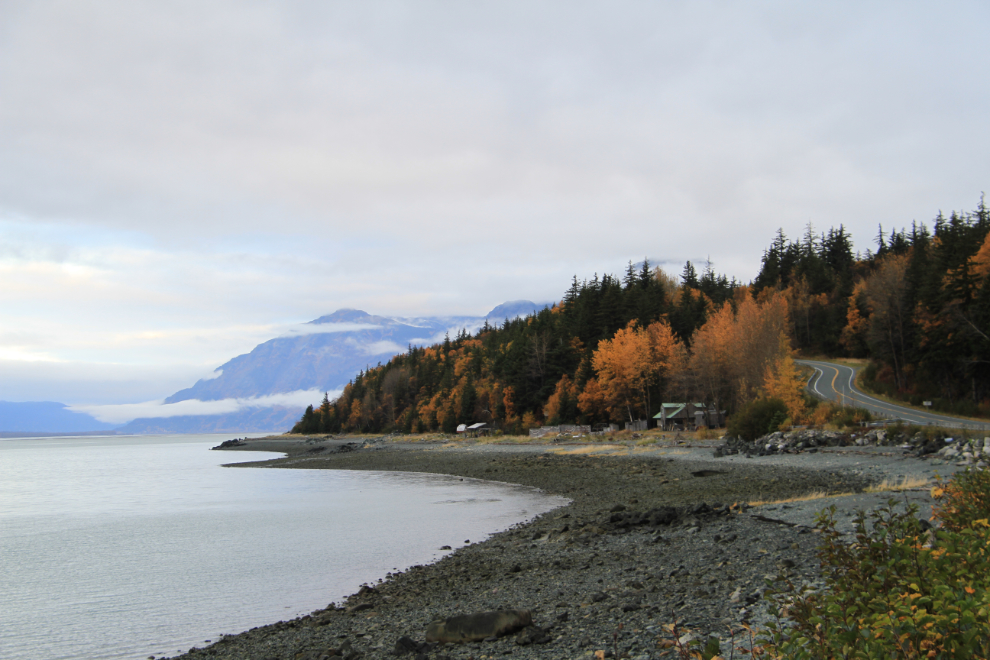
The beach was beautiful – this was shot a few minutes after sunrise, at 07:50. This would be a great place to bring an RV for a few days – it’s only $10 per night to use one of the 35 campsites.
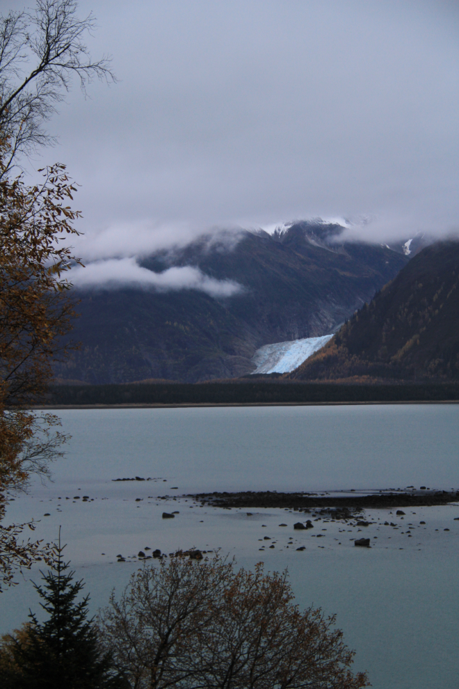
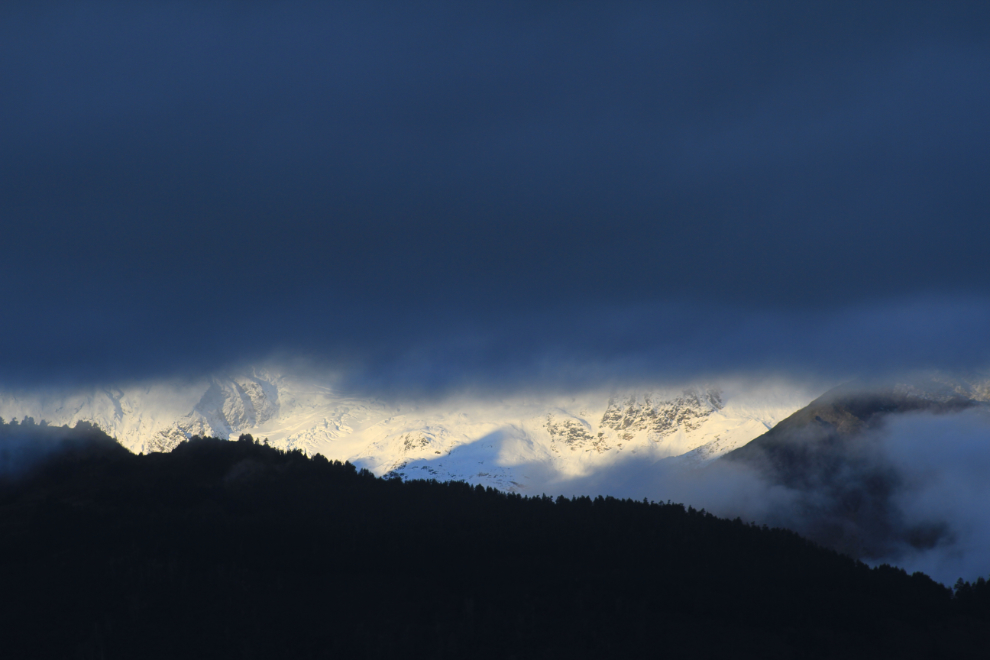
The Davidson Glacier can be seen across Chilkat Inlet. You can get a closer look on the Seduction Point hiking trail, but it takes a boat to actually get to the glacier.
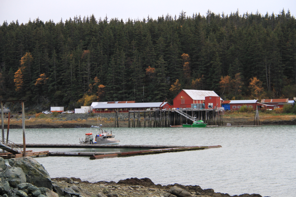
Riding back towards Haines, the light was just good enough to get a few photos of this salmon cannery. It’s now operated by the Haines Packing Company, who rebuilt it in 2007. The company says that it’s “one of the oldest, if not the oldest, cannery site in Alaska”.

Wondering where to go next, I thought briefly about going to the Chilkoot River, where I shot the photo of the brown bears that’s used as the title image of my blog. But, I decided that bear viewing from a motorcycle isn’t a really smart activity, and seeing these peaks in the sunshine through little holes in the cloud layer helped me decide to head back up the hill.
This is along Mud Bay Road on the western shore of the Chilkat Peninsula.
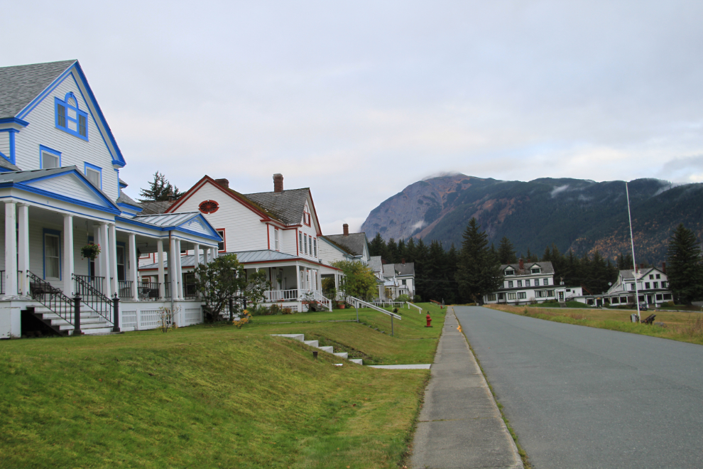
I made a short detour to Fort William H. Seward, but the light was still uninspiring – on a sunny day I can easily spend half an hour shooting here. These large homes, all privately owned now, were built in the 1902-1904 period.
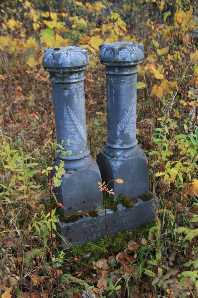
Back on the Haines Highway, I stopped to see this Native cemetery at about Mile 3.5. This was the cemetery for Yaneist’akye’ village, which was abandoned about 1930. The cemetery is apparently much larger than what is visible now.
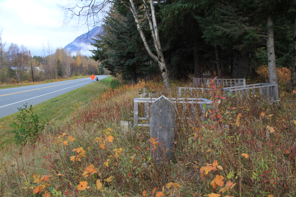
This beautiful marker is on the grave of Daivet Eisaw, who died in 1912 at the age of 32.
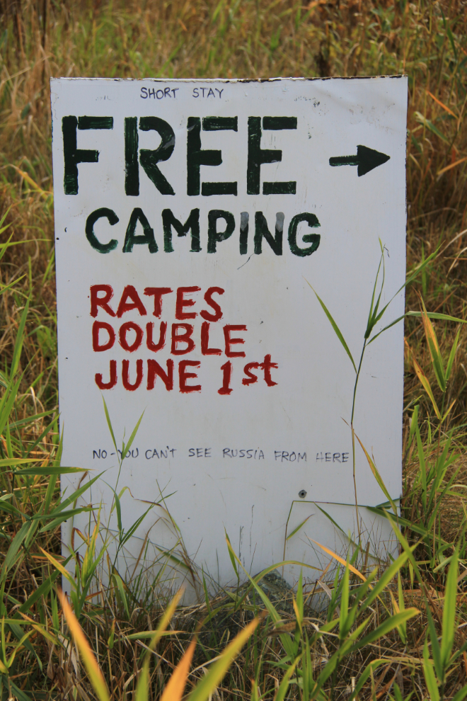
Along the Chilkat River, another sign by someone with a sense of humour: “Free Camping. Rates Double June 1st. No – you can’t see Russia from here”. It’s too bad that the most famous quote to come out of Alaska is something so silly 🙂
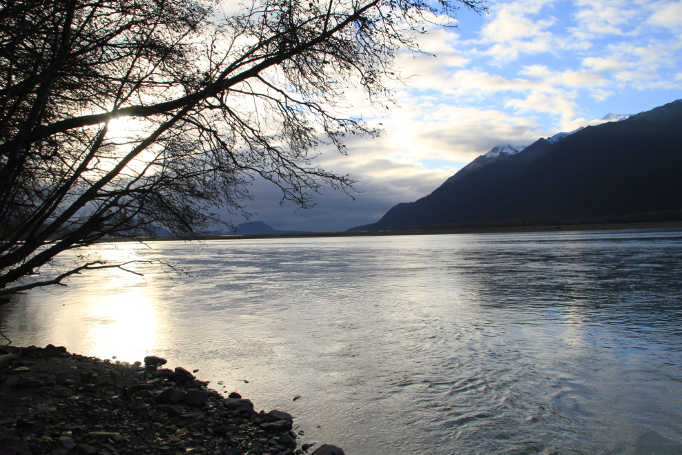
A bit of blue sky along the river, with Haines still shrouded in very dark clouds.
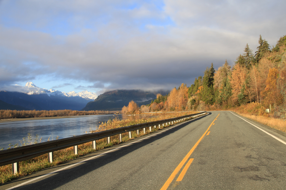
The view ahead gave me high hopes for a gorgeous day up in the pass.
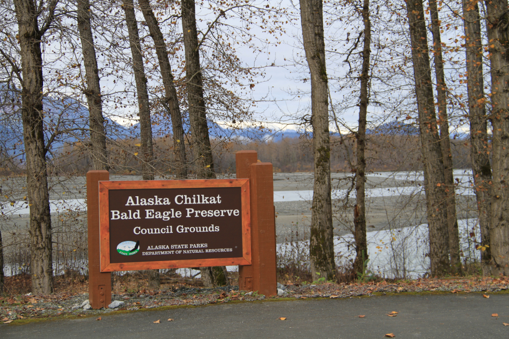
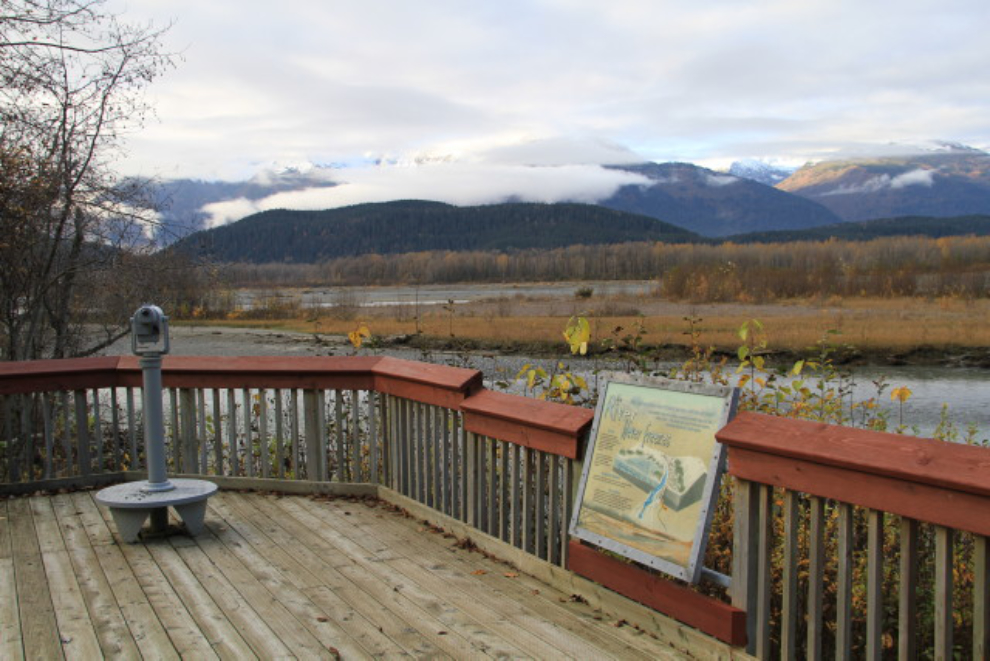
I’d seen a few more eagles than normal on the way south the previous afternoon, so made a stop at the main Alaska Chilkat Bald Eagle Preserve parking lot and interpretive area.
This very nice trail goes north along the river from the parking lot.
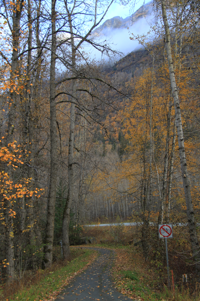
The trail has lots of interpretive signs, not only about bald eagles, but also about the Chilkat and Tsirku Rivers, their ecosystems, and some of the residents.
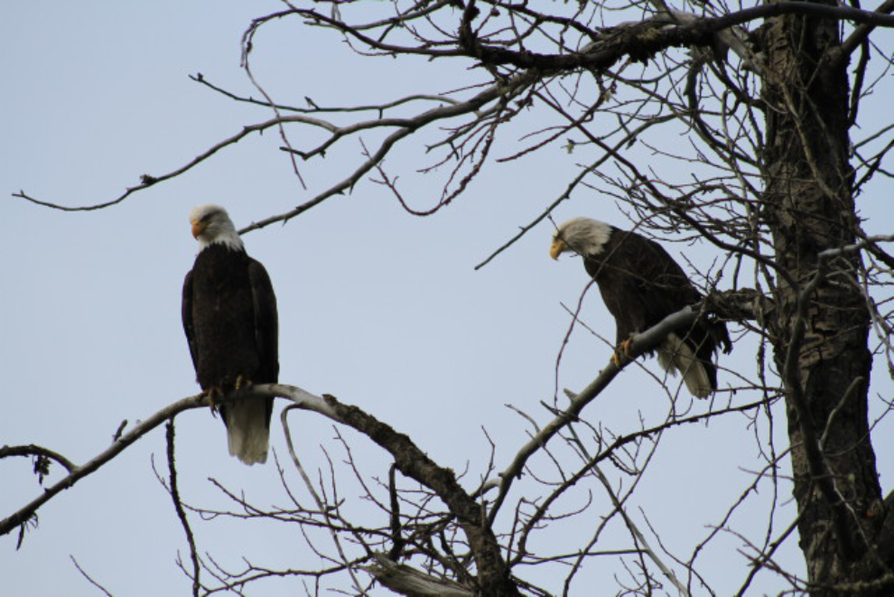
There are 7 bald eagle visible in this photo, but at the peak in another month, these trees will be dripping with eagles. During the Alaska Bald Eagle Festival (November 11th-17th this year), there will be some 3,500 eagles along this stretch of river, drawn by a flow of warm water and a late run of salmon.
A closer look at 2 of the eagles seen in the photo above. There are quite a few pulloffs for vehicles, and a paved path along the river side of the highway.
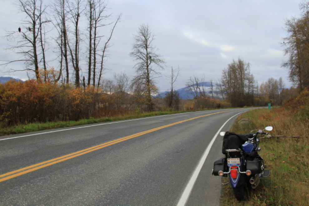
I left the bald eagle preserve at about 10:15, stopped at the 33 Mile Roadhouse for fuel and a snack for later, and had another easy border crossing at Pleasant Camp. The clear skies I’d hoped for (expected, actually) never materialized, so I didn’t stop until reaching the famous “Green Shack” at about Km 108.
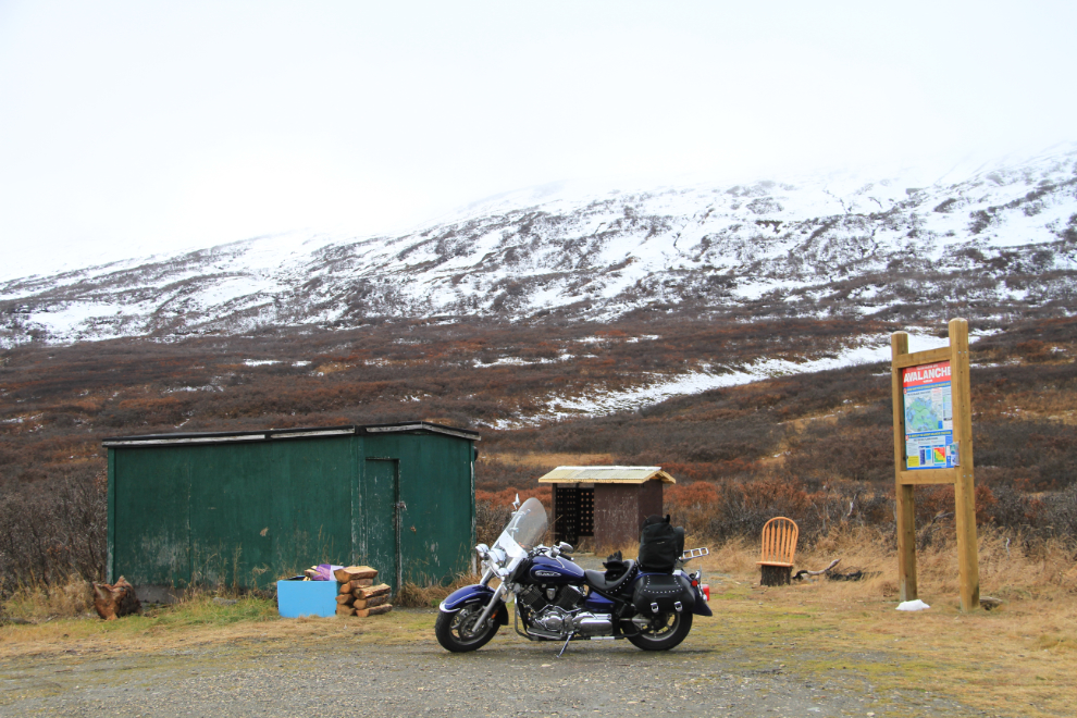
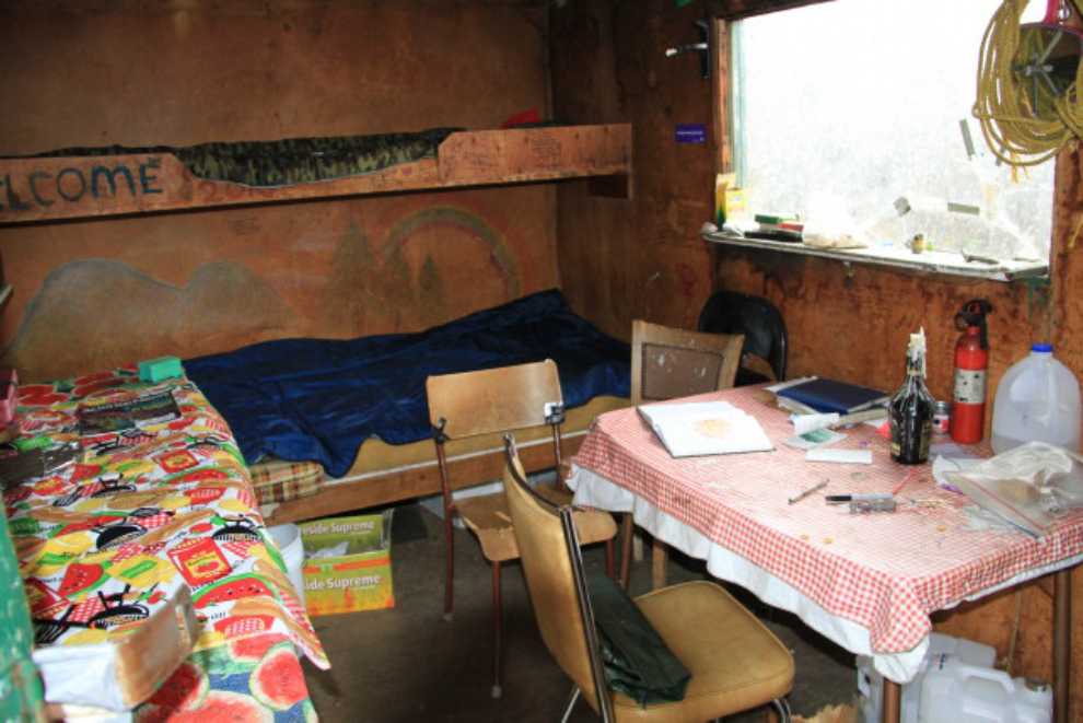
It may be rough, but the shack has provides shelter for a large number of people over the years, and the log books make for interesting reading: “Stopped in and found a cabin! This is perfect, amazing to find out about such a place that has comforted so many like people. The world needs more of these places.” There are many notes from regular users who also make improvements – bringing a new tablecloth, a new door latch, more firewood and so on.
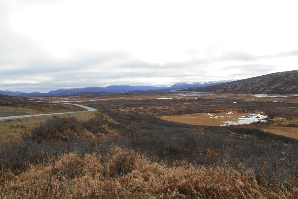
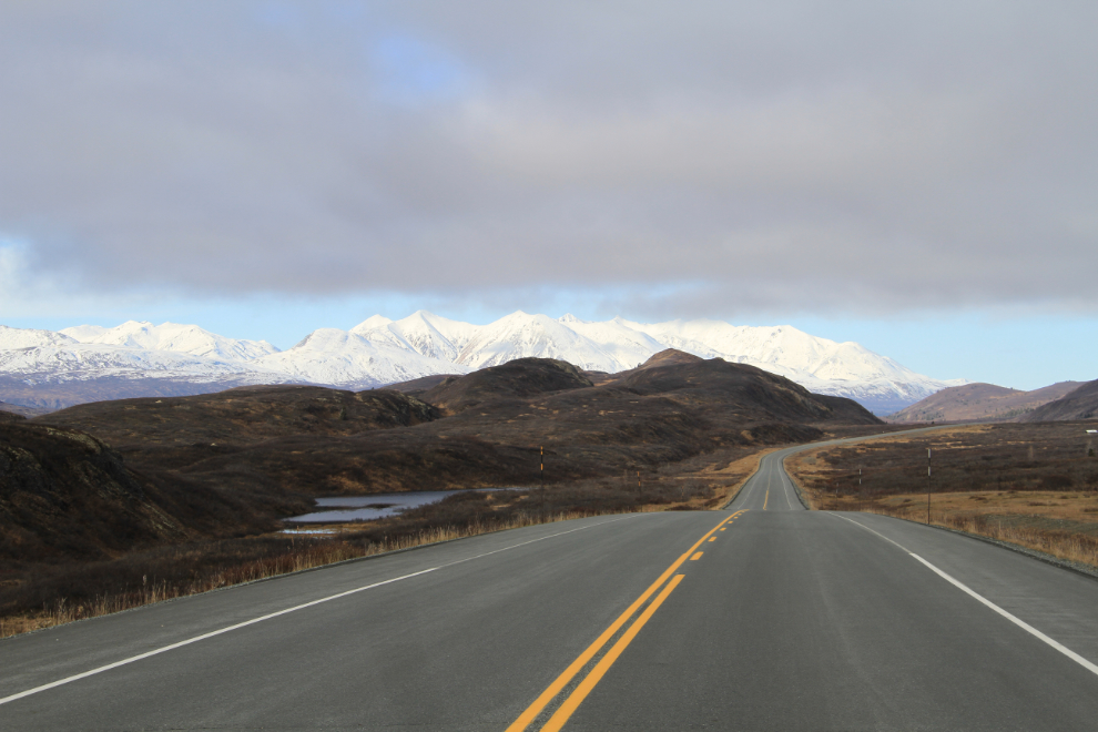
Even in this flat light, I love this place. This really is my kind of country, and I could spend days up here. This is looking back towards the Haines Summit from Km 124.6.
The view to the north at Km 126 – almost at the sunshine! 🙂 I’d hoped to do a bit of hiking, but I was already running out of time (this was shot at 1:10 pm) and the wind was strong and icy.
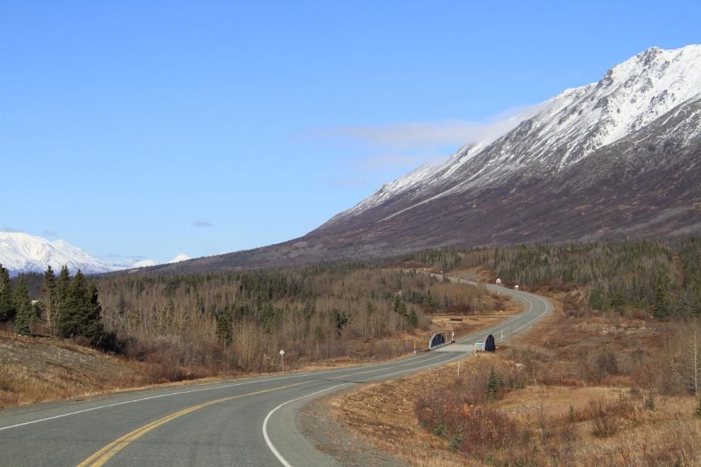
The Blanchard River Bridge at Km 144.8, with “Leaving British Columbia” and “Welcome to the Yukon” signs halfway up the hill beyond.
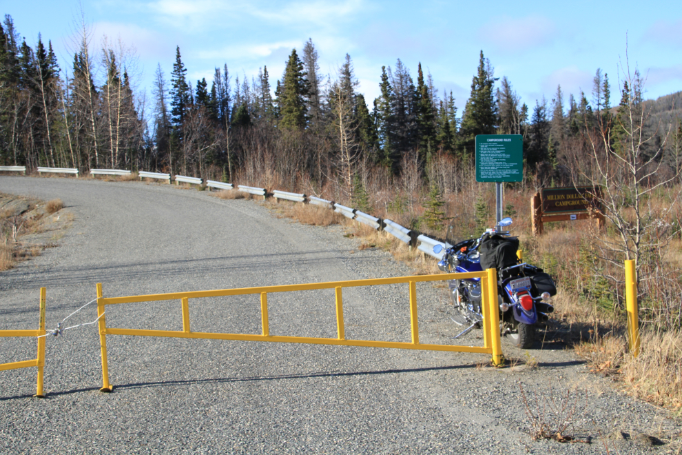
I wanted to be home when Cathy got home from work, but allowed myself one more stop, at Million Dollar Falls, Km 159. The campground is closed for the season, and it’s a 1.5-kilometer walk from the gate to the start of the falls trail – but if you have a really skinny vehicle that rule doesn’t apply 🙂
The waterfalls aren’t actually that photogenic, but the canyon they fall into is awesome.
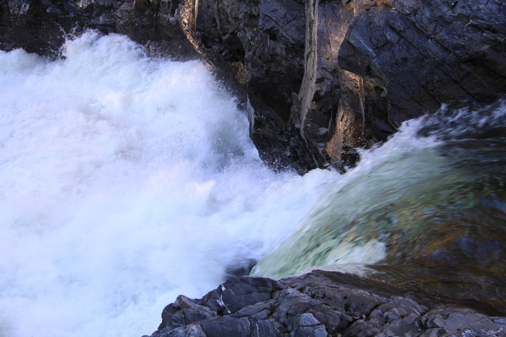
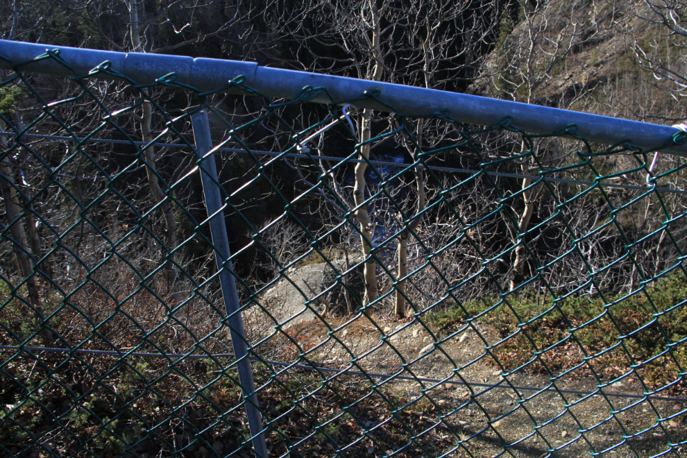
The canyon was fenced off a few years ago, and one section is double-fenced. I have a pretty high sense of adventure, but I find it hard to believe that people used to go down that steep, loose-gravel path onto a narrow, crumbly, peninsula with a 100-foot drop into the canyon.
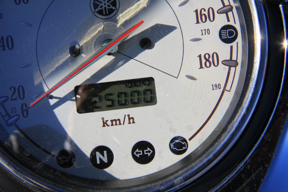
I left the falls at 2:15, but half an hour later made a quick stop for another of the “milestone” photos I take of the bike. It hit 25,000 km right at the Rock Glacier Trail parking lot.
I could feel the temperature dropping fast as I neared Whitehorse just before 5:00 pm. As I had hoped, I made it home just before Cathy did. She asked if that was the last bike trip of the year – I hope not!