Whitehorse to Haines by Motorcycle
After getting our first “permanent” snow on October 4th last year, almost an month earlier than normal, I’ve been praying for a better Fall this year, and we’re getting it. One of the things that means for me is putting more miles on my motorcycle. On Tuesday, I headed west on the Alaska Highway to Kluane Park for a ride, but got a little side-tracked and ended up in Haines.
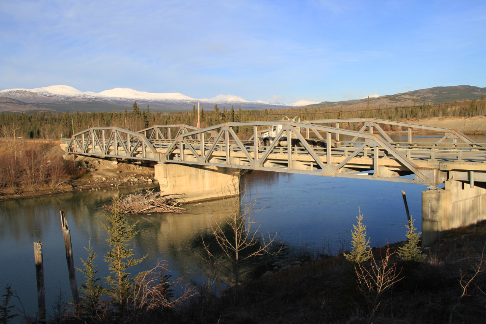
It was -4°C (25°F) when I started getting ready to go, but by the time I reached the Takhini River Bridge at 10:30, it was probably about +2° (36F).
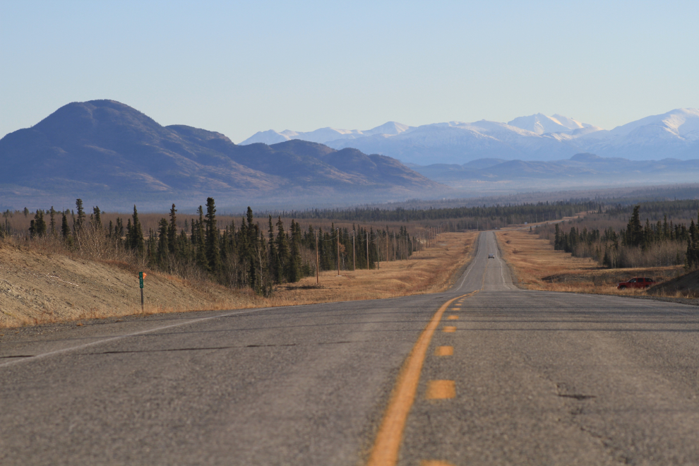
Looking back towards Whitehorse from Km 1476. The haze down low is from fires burning during clearing of a large section of agricultural land.
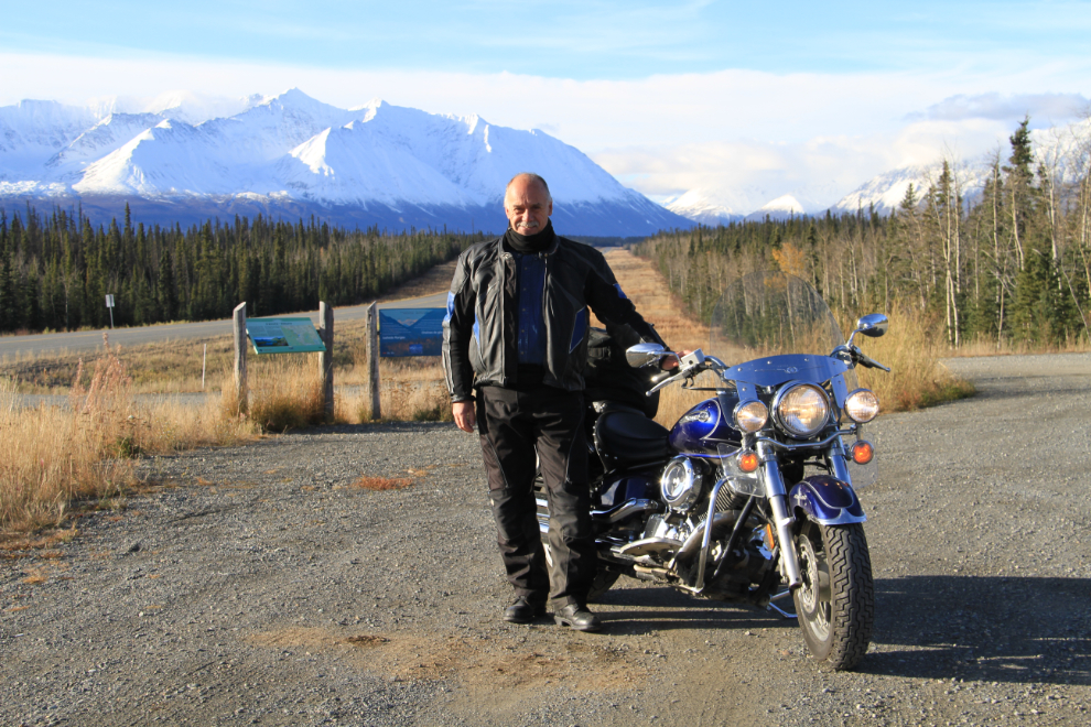
A rest area at Km 1566 offers a great view of the Kluane Ranges and makes for a fine photo op. The key to staying warm is to put lots of layers on, and at 2 degrees I had just enough on to be comfortable at my preferred 105 kmh (65 mph).
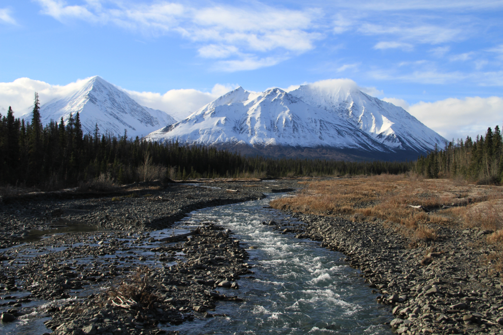
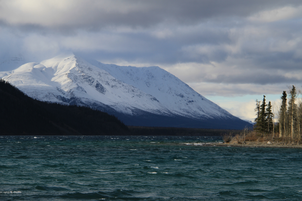
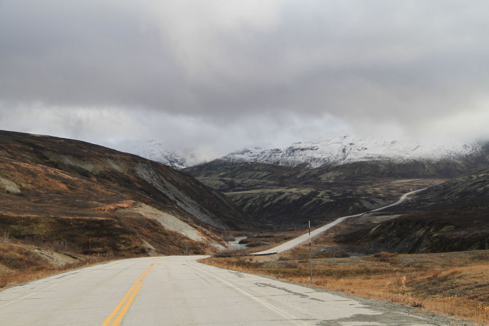
Km 1572, at the Pine Lake Campground, is another spot on the highway that often stops me. These mountains average 2,500m (8,000′) in height, and behind them are several that are over twice that height. Mount Logan, the highest mountain in Canada and the second highest peak on the continent, is back there – it’s 5,959m (19,545′) high; Mount St. Elias (5,488m, 18,005′) and Mount Lucania (5,231m, 17,162′) are also notable.

By the time I reached Haines Junction, I’d decided to go south on the Haines Highway rather than continue west. This is the view looking back towards Haines Junction from Km 242 of the Haines Highway.

Looking west up Quill Creek, at Km 233. The highway in this area runs right along the boundary of Kluane National Park, which only has a couple of very short roads into it.
The campground at Kathleen Lake is closed for the season, but the day-use area is still open. I was surprised to see a large group there – some sort of outdoor training program, it seemed.
Although the mountains are screened by trees along much of the highway, there are enough open spots to keep photographers happy – this marsh is at Km 208.3.

I decided to enjoy the sunshine and get a higher view by going for a walk on the Rock Glacier Trail at Km 202. I reached the trail at 1:20 pm, the warmest part of the day, which had been forecast to hit 6° (43F). A strong, icy wind was blowing, though, so I hiked in my riding gear, which is not very comfortable for walking, but it’s a fairly short trail.
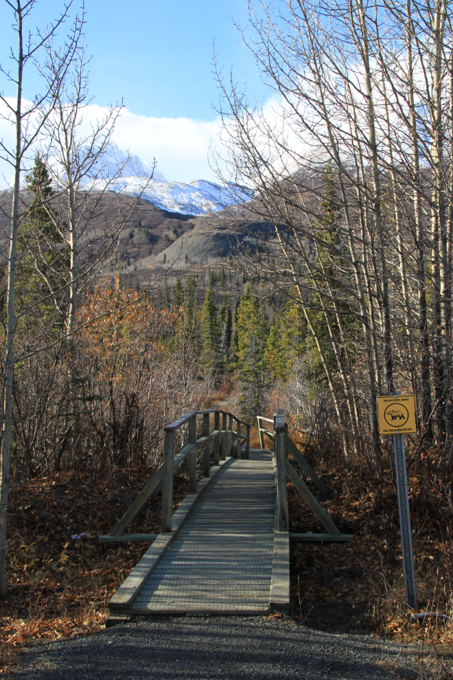
The trail has several interpretive signs. Little is known about rock glacier formation – they’re basically glaciers that consist more of rock than ice, with just enough ice to keep them flowing. Enough of the ice has melted from this one that it no longer flows, so it’s actually no longer a glacier, though visually not much has changed.

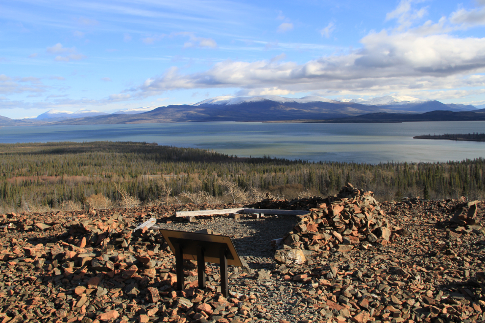
Although the energetic can climb much further, the formal trail ends at this viewpoint 0.8 km from the parking lot and 90 meters (300 feet) above Dezadeash Lake (pronounced dez-dee-ash).
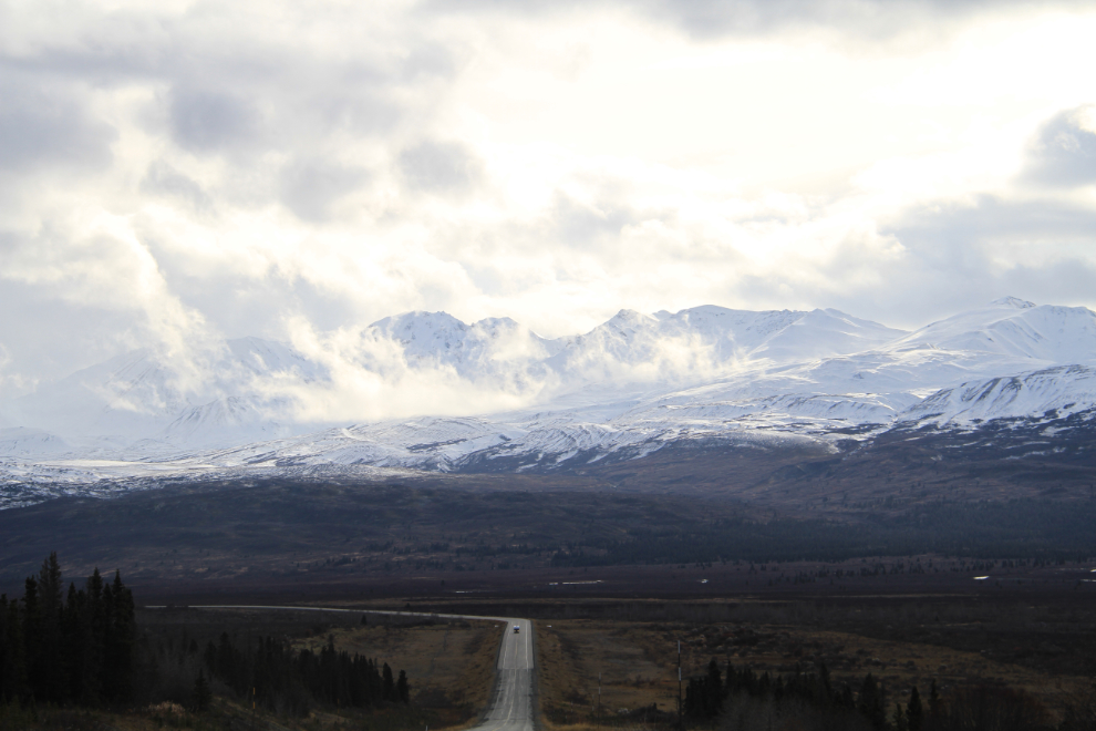
The weather deteriorated as I approached the Haines Summit, so few photo ops appeared. The forecast for Haines had been for cloudy with showers, so I was expecting to turn around any time when the rain started and/or I rode into low clouds. Just north of the spot where this photo was take, you pass from the Yukon into British Columbia – 74 km of the road (about 1/3 of it) is in BC.
Made it to the Summit without getting wet 🙂 By now I was well beyond my fuel range, so had to go into Alaska at least to the 33 Mile Roadhouse to get gas for the return to Haines Junction.

Looking south to Stonehouse Creek, Km 96. On a clear day, the view of the mountains known as The Three Guardsmen is stunning. For just a few seconds, the dominant peak was visible through ragged clouds as I passed, but then a solid blanket covered it again. Just a teaser.
The colourful lower slopes of the Guardsmen, near the top of a steep 18-kilometer-long drop into the Klehini River Valley. A couple of minutes after taking this shot, I went down off the highway to a parking lot to read a couple of interpretive signs, and when I went to re-start the bike, it was dead! I knew that it would roll-start if I could get it back to the highway, but getting the 600-pound bike back up the steep ramp to the highway, and then up a slight grade to the long down-hill, took some effort. There are times when I’d like to have company on my rides 🙂

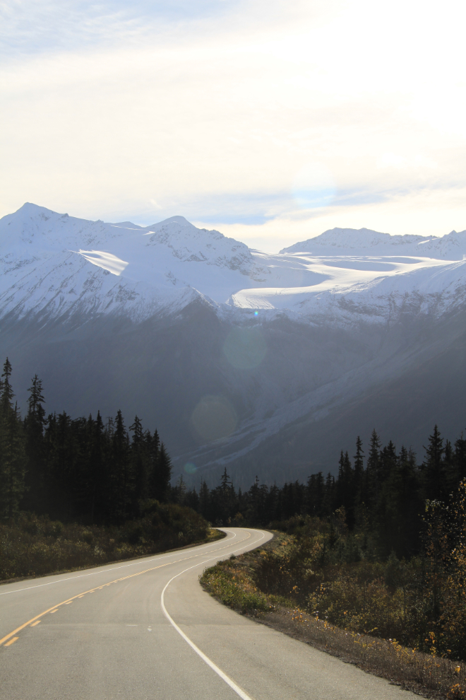
Here’s a motorcyclist’s dream highway – curving pavement ahead and a curving glacier above in the sunshine. There are many glaciers along this section of the road, which is still in British Columbia.
Crossing into the United States at Dalton Cache was quick and friendly. I passed by the 33 Mile Roadhouse without getting gas, having decided to go into Haines for a look around despite the fact that it was already after 3:30.
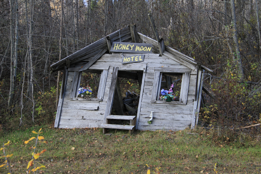
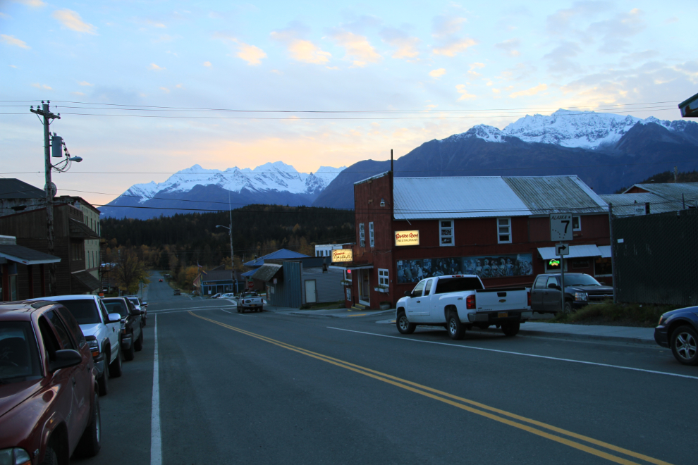
It takes a sense of humour to live in places like this, and many of the people in Haines do a particularly good job of displaying theirs.
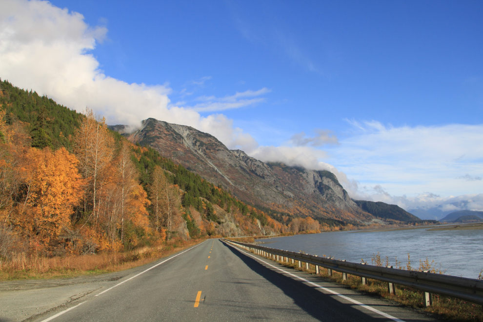
The drive down the Klehini and Chilkat Rivers is beautiful in any season.
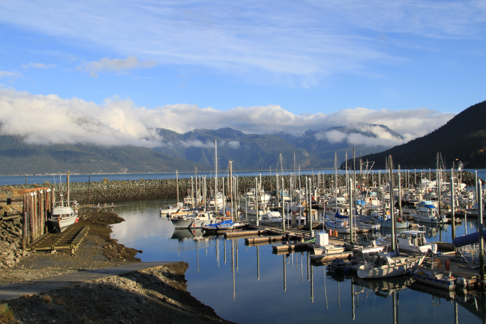
Postcard Alaska! I stopped in at the Visitor Center, and when I saw that the forecast for Wednesday was for lots of sun, decided to stay the night. I tried to get in touch with a Facebook friend who has just opened a B&B, but when I wasn’t able to, went to my usual spot, the Captain’s Choice Motel. The Captain’s Choice is the most expensive motel in Haines ($114 plus tax with a BCAA discount) but it’s also the nicest. This is room #225.
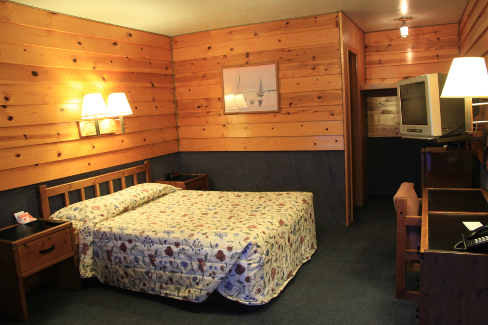
The view from my room is what keeps me coming back.

I went for a short walk before settling down to watch TV, with a cheap bottle of Australian Merlot for company. The nights are very long this time of year – sunset was at 5:51pm, and sunrise wouldn’t be until 7:44am.
I went to sleep with visions of a glorious sunrise in my head 🙂