Hiking in the White Pass: the Railway Summit
I hadn’t checked the weather forecast when I drove Cathy back to Whitehorse on Sunday night, but since it’s seldom right, it was the sky when I went to bed back in the RV at Summit Creek that gave me hope for some great hiking on Monday and maybe even beyond that. The first destination would be the historic White Pass summit – the one that the White Pass & Yukon Route railway goes through – and possibly down to the railway’s cantilever bridge, whose base has apparently started to fail.
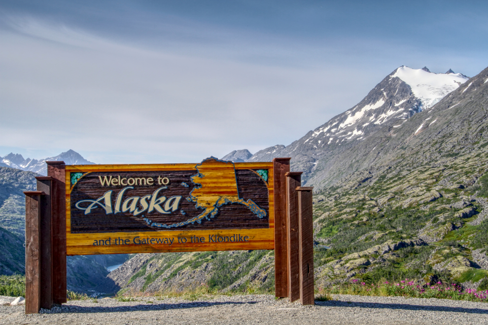
Before my hike, I needed to tire Bella and Tucker out, since they couldn’t join me on this hike. There’s too much bare granite, and Bella is terrified of trains. But I had a plan for Tuesday’s hike which would include them, and we drove up to the highway summit to confirm the access for that one, above the “Welcome to Alaska” sign.
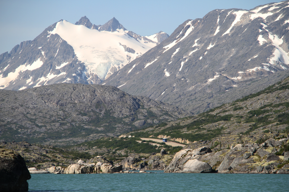
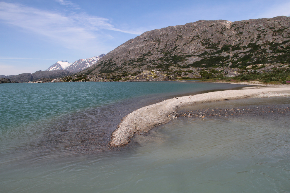
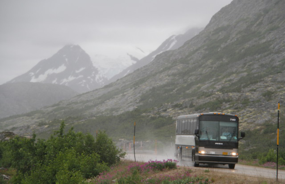
The next stop was, of course, the beach at Summit Lake. It was shaping up to be a superb day, and I was really glad that I decided to stay longer. A Holland America cruise line tour bus can be seen on the highway in this photo – this is the kind of day that everybody should see this world 🙂
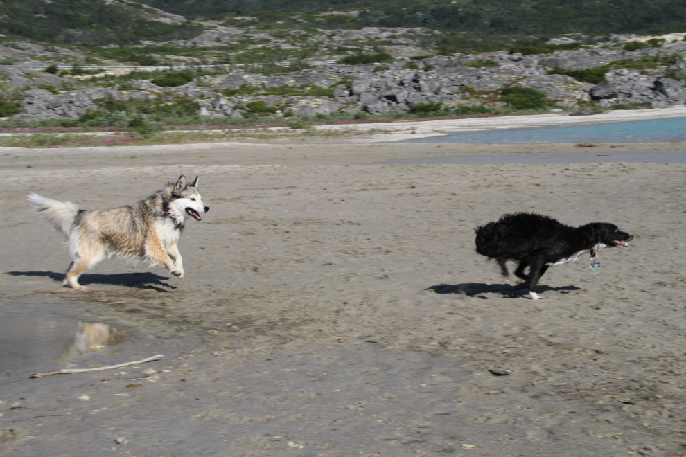
The kids seemed to be a bit slower than they did on Sunday, when they were both really crazy. Maybe they actually do tire out!
Once the dogs were happy to play by themselves instead of with me throwing balls and sticks, I went off and did some photography of flowers and rocks and water.
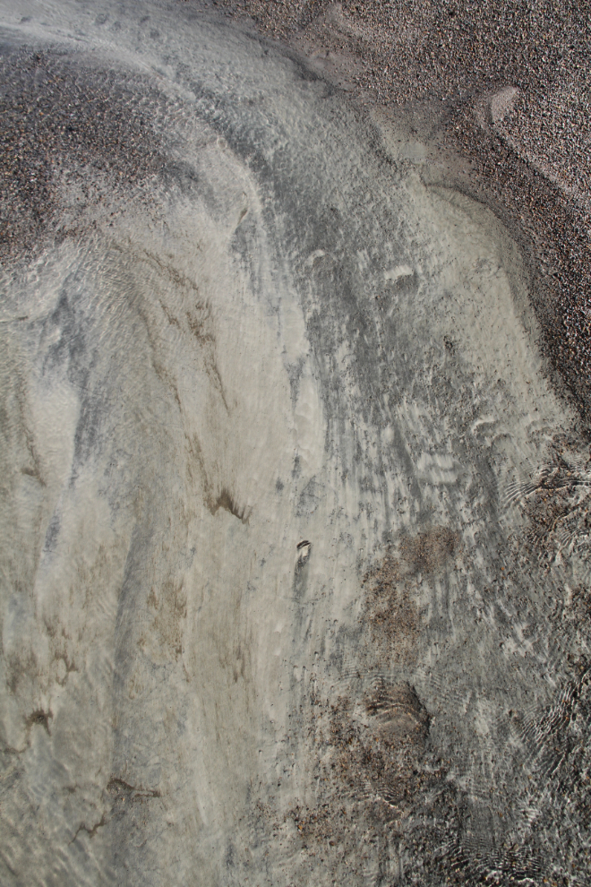
A small channel of Summit Creek was making some interesting patterns as it sorted the sand and gravels near the lake.
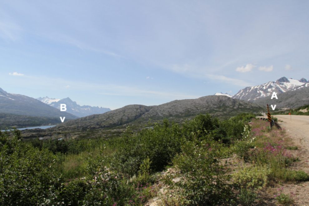
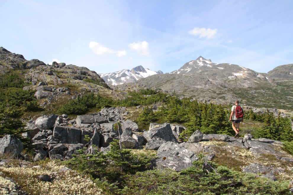
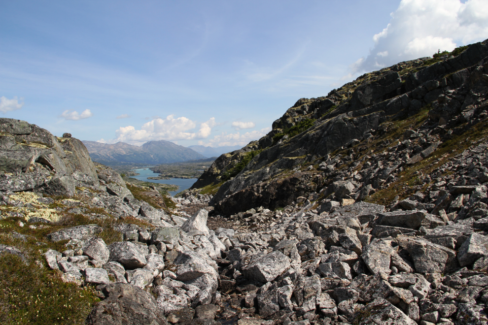
Bella and Tucker pooped out in less than an hour and a half, so I took them back to the motorhome and put them to bed, and I headed off. The route would be across this ridge, from the point on the highway marked “A”, to the railway summit at “B”.
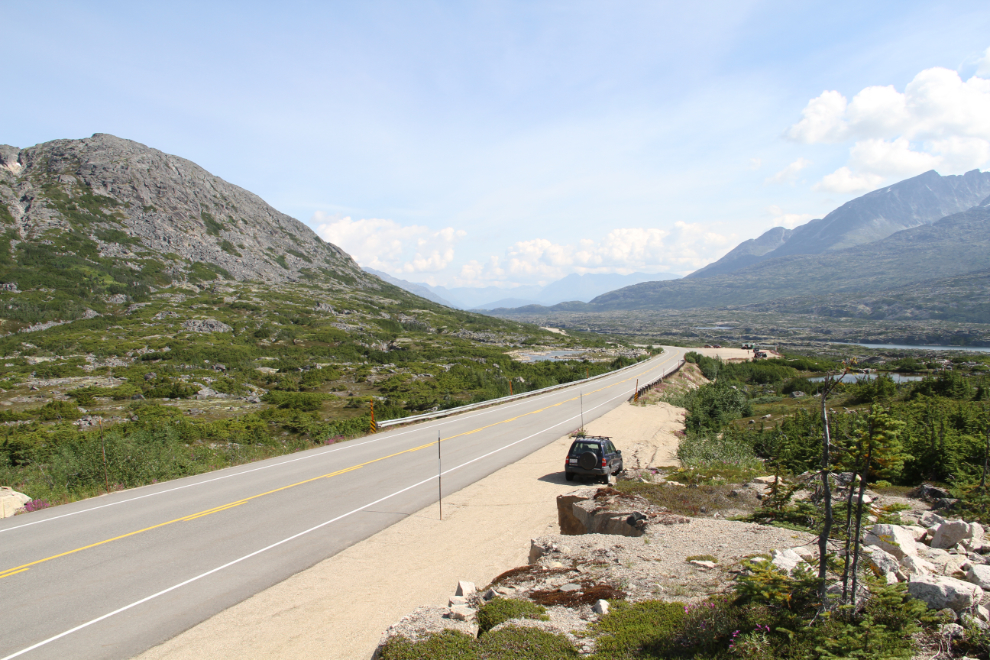
Just before noon, I parked the Tracker on the shoulder of the highway, turned on my Garmin and Spot, and started hiking up to treeline. There’s no trail or any route markings across the ridge, and I’ve never seen any other hikers up there.
I’ve hiked this route a few times, and have found that the higher you go, the easier it is to get across. In particular, the low spruce can be very tough to get through, and there are several gullies that are easier to cross at higher elevations.
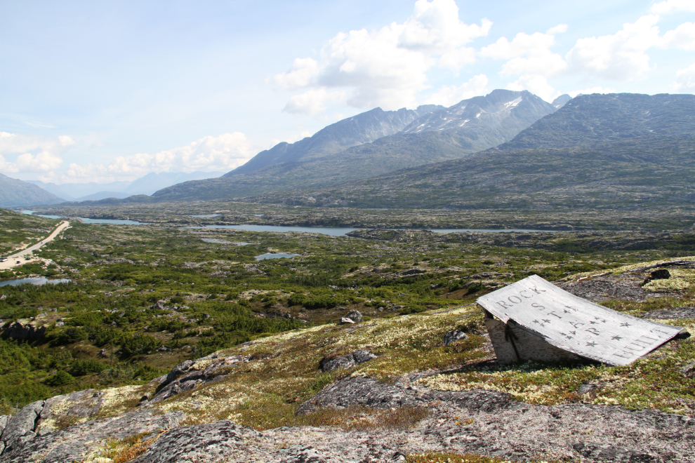
This ramp was built by snowmobilers many years ago – the sign on it says “Rock Star Built”. This slope is a very popular location for sledders – I thought that it was safe from avalanches, but a large one came down here about 3 years ago.
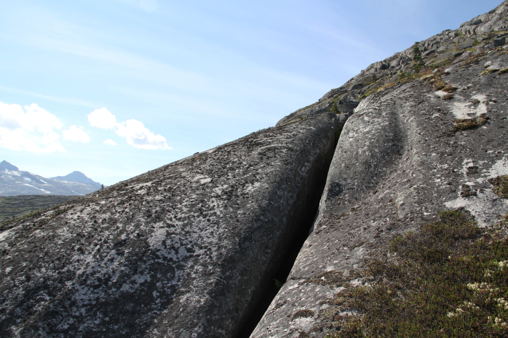
Some of the granite up here is quite incredible – this outcropping is about 60 feet long, with a crack about 10 inches wide.
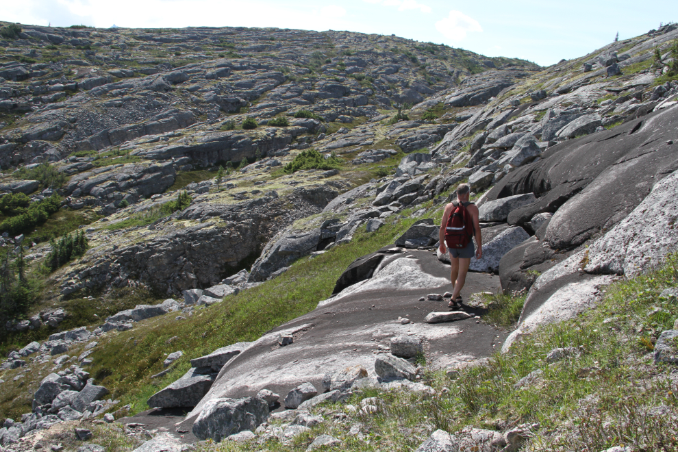
A granite sidewalk – easy hiking for 100 feet.
I reached the first of the first of the large gullies at 12:45.
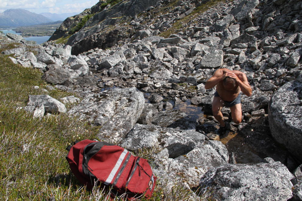
The tiny creek in the gully was not only drinkable, it was wonderful to cool off in. The temperature was probably about 24°C/76°F, a bit hotter than what I consider to be a perfect hiking day, but I sure wasn’t complaining!
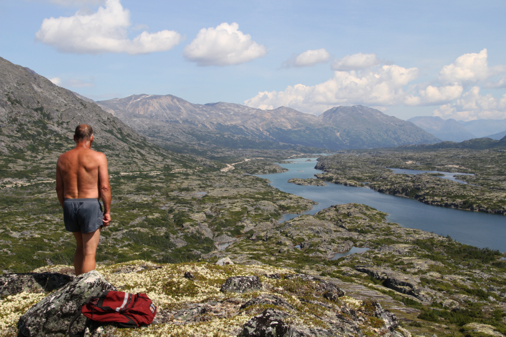
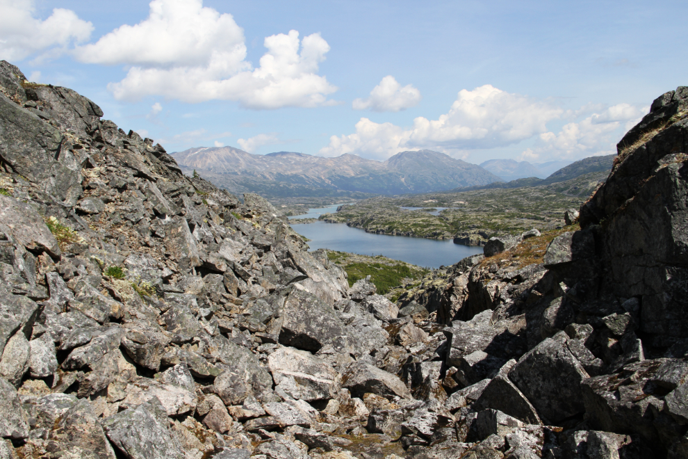
This is one of my favourite places on earth. I could spend an entire summer camped where I’ve been the past couple of weekends. In this photo, the beach we play at is just about at the furthest point you can see on Summit Lake.
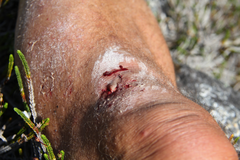
Damn! As I made that step, I had a micro-thought that the footing on the sharp and heavily-eroded granite slab didn’t look very secure and I should go around it. That was my first hiking boo-boo in many years. I sat down for a few minutes until I was sure that it was only a skin issue, then continued on.
Crossing another of the gullies, at 1:20.
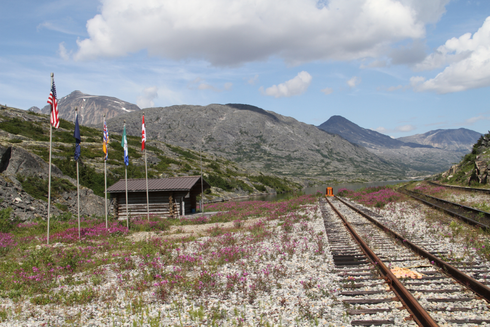
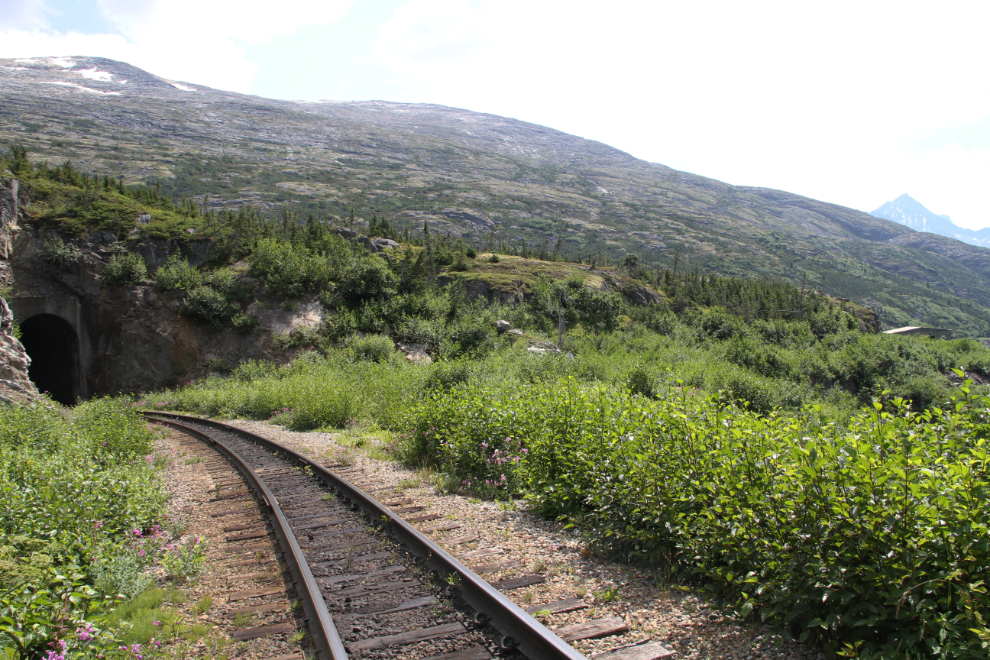
The last few hundred yards to the railway are the toughest, with multiple gullies, cliffs and thick vegetation, but at 1:40, I was there, at Mile 20.4 from Skagway. The cabin is a replica North West Mounted Police post that was built for the 1995 R.C.M.P. Yukon Centennial.
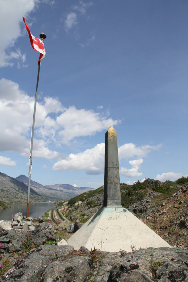
Perched on a rocky ridge above the railway is this border monument – Monument 17 on the topo maps.
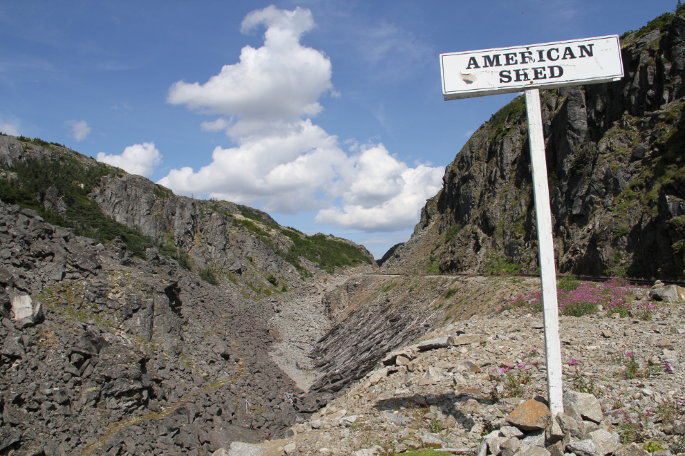
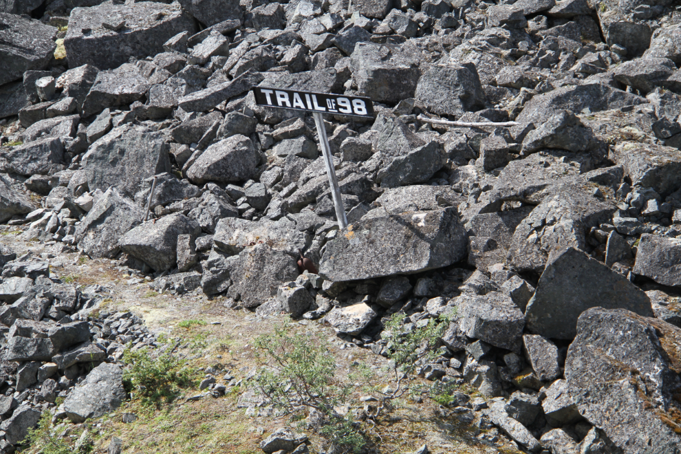
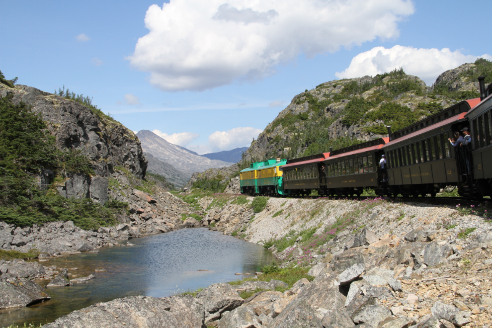
I hadn’t seen or heard any trains during the 2 hours I’d been hiking, so I started hiking south on the rail line. At 2:10, I reached the former site of the large American snowshed, at Mile 19.4. It was demolished in the 1970s – the timbers can be seen in the lower centre of the photo. Snaking up the gully below the railway is “The Trail of ’98”, the actual trail used to get through the White Pass during the Klondike Gold Rush before the railway was built.
Nobody hikes The Trail of ’98 anymore, since it doesn’t go from or to anywhere, but decade after decade, it looks the same.
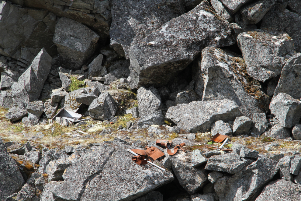
There are quite a few artifacts along the trail, ranging from shovels to horse skulls. In the early madness of the gold rush, this was the infamous “Dead Horse Trail”. The trail was narrow, steep, slippery, and overcrowded, and about 3,000 horses and other pack animals died here.
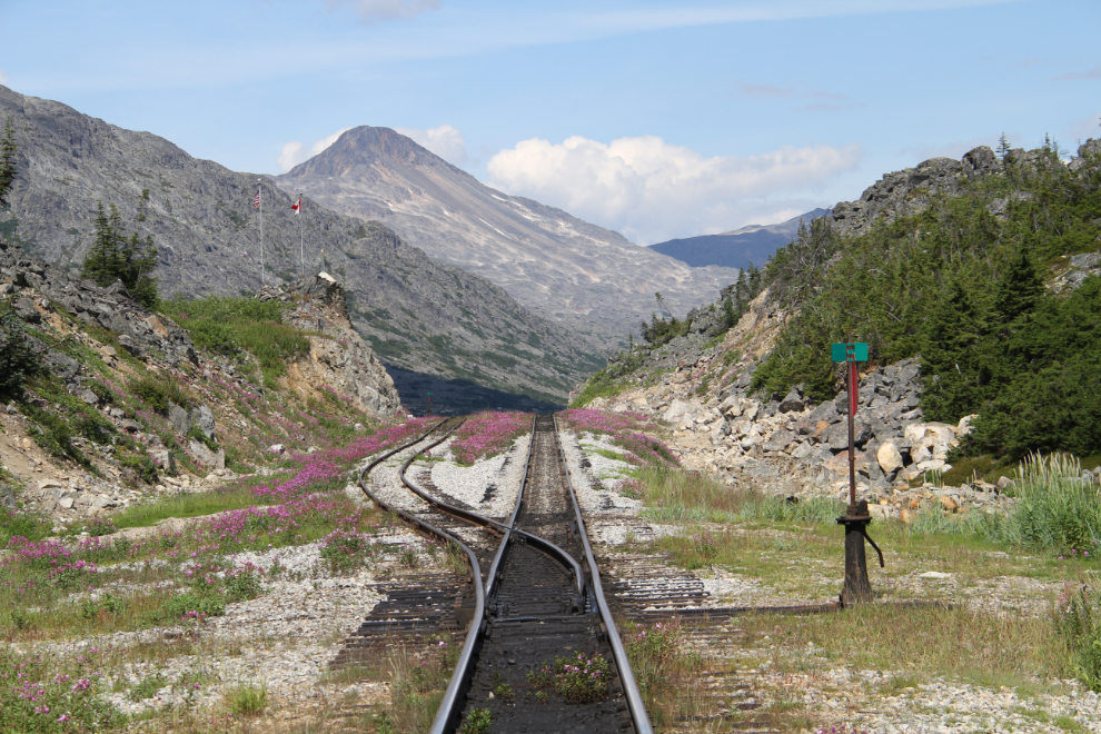
Looking south at Mile 19.
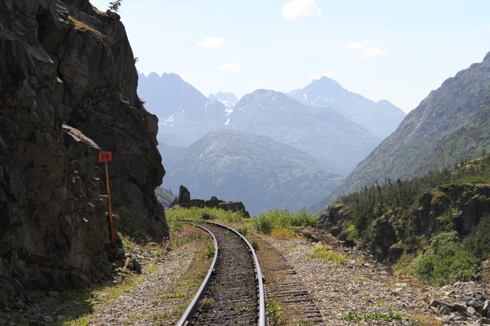
The Trail of ’98 can be seen at the lower right, and the Skagway River is in the distance.
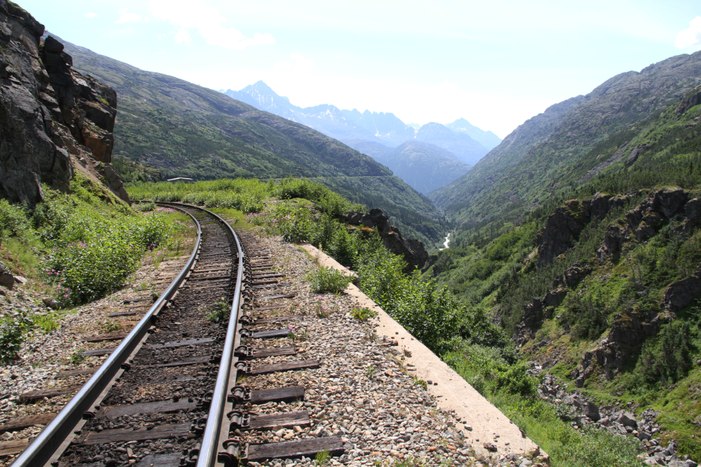
In the fall of 1969, a new tunnel and bridge were built to bypass the old cantilever bridge which wasn’t up to the weight of the new trains loaded with ore coming out of Yukon mines. Although I’d planned to go to the old bridge, which is to the right in this photo, the alders have grown up a lot since my last visit during a hike in 2012, and I didn’t have the energy to push through a half-mile of them. Some fresh bear poop added to my decision to turn back, at 2:25 pm.
Just after I started walking north, I could hear a train far off in the distance. The valley funnels sound so you can hear them for many miles, and I was well north of American Shed when it reached me. This was the afternoon train to Fraser. A couple of train crew members yelled at me that there were “3” and “a bunch of” trains coming in the next hour, and I was tempted to hang around, but I was starting to feel bad about leaving the dogs for so long.
Back at the summit, at 2:52.
I hardly took any photos on the way back. I hadn’t done any hard hikes yet this year, and I was tired. This dried-up creek was too cool to pass up, though. I got back to the car at about 4:30, very pleased with the day. It was a very calm night!
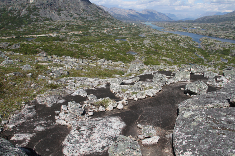
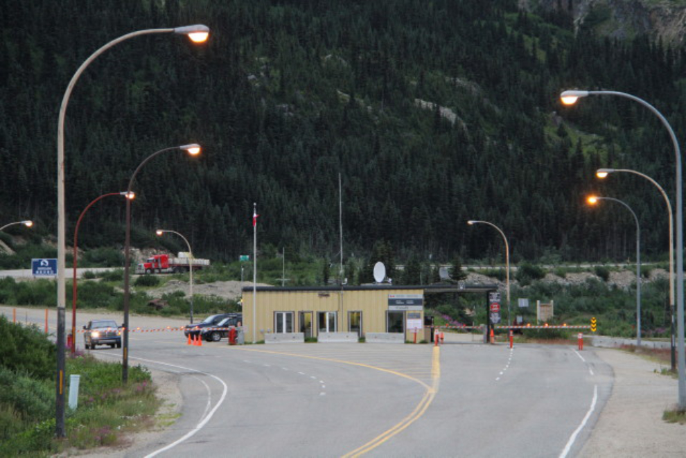
On Tuesday morning, I decided to drive back to Fraser to see what the border looks like when it’s closed (it’s closed from midnight 08:00). As I got near, I was very surprised to meet 4 semis heading south. I still don’t know how that happened, unless they crossed the border and then went to sleep for the night, because when I got to Fraser at 07:25, it was all locked up. So camped out in “no man’s land” between the two Customs posts, you really are trapped if you want to look at it in a negative way. 🙂
From Fraser I could see rain to the north, and by 9:30 it was raining heavily. It soon became clear that the rain was not going to quit, so I packed up to head home. The last time I looked at a forecast, the weather was supposed to turn wet on Wednesday and stay that way for several days.
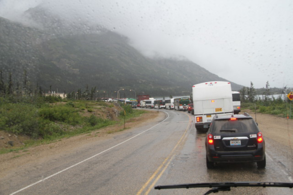
There were 4 large cruise ships in Skagway (Crown Princess, Coral Princess, Solstice, and Nieuw Amsterdam), and the lineup at the border was very long when I got there at 11:00. It took over half an hour to get through. But I was home by 1:00.
As I write this, it’s hard to say when the next outing will be be – the weather forecasts for Whitehorse and everywhere else I look within a reasonable driving distance suck. Of well, I have no shortage of projects I need to deal with, including some work on the motorhome 🙂