Another White Pass RV weekend
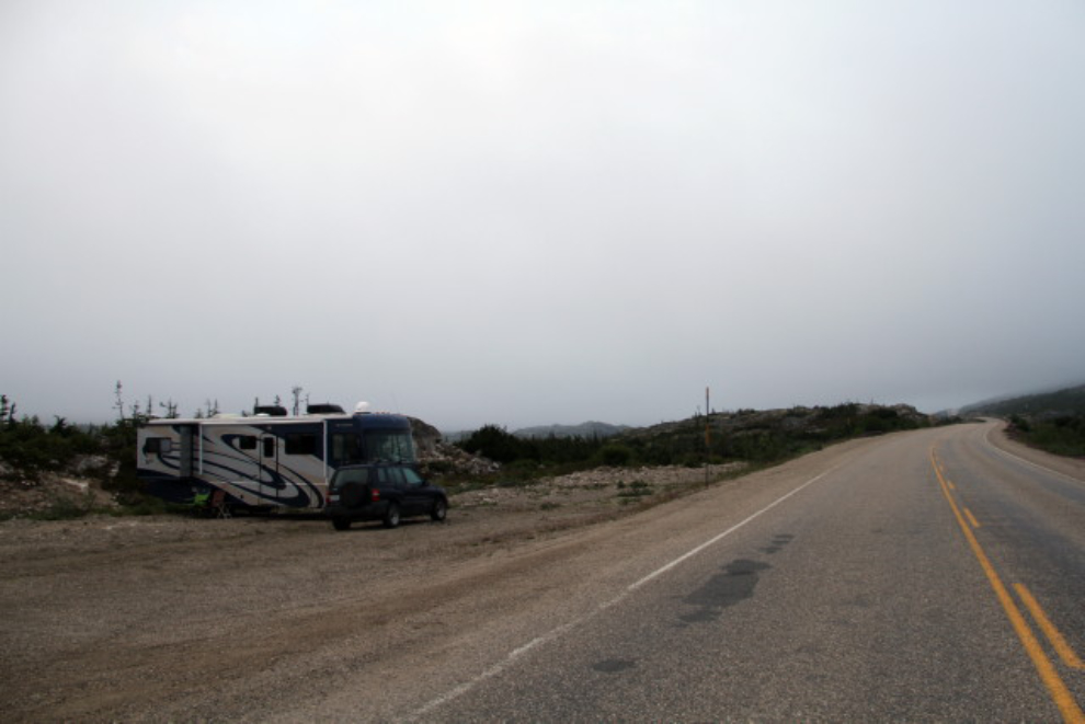
The weather for our first multi-day RV outing in the White Pass hadn’t been very good, so we decided to give it another try this past weekend. I had the rig ready to go when Cathy got home from work, but we stopped at Carcross for a good dinner at The Bistro, so weren’t set up at a large pullout on the South Klondike Highway just south of Summit Creek until almost 9:00 pm.
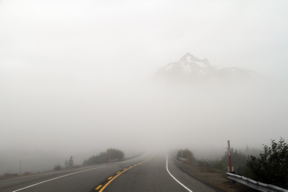
The weather forecast was much better for Skagway than for Whitehorse, so just after 09:00 on Saturday, we took a drive to see if the weather was any better to the south. This photo was shot just north of the White Pass summit, and although we broke out of the clouds a few miles further on, there was no blue sky anywhere.
Playing on the beach with the dogs isn’t particularly weather-dependent – clouds and wind don’t slow Bella and Tucker down at all. Around noon, though, the skies started to clear, so we drove a few kilometers to the only trail in the White Pass that can be considered fairly easy – the one to Bryant Lake.
The trailhead is at about Km 35.2. There’s a large pullout on the east side of the highway, but the trail is quite indistinct and may take a minute to find. It fairly quickly becomes a good trail as you climb away from the highway, though. The elevation at the trailhead is 879 meters.
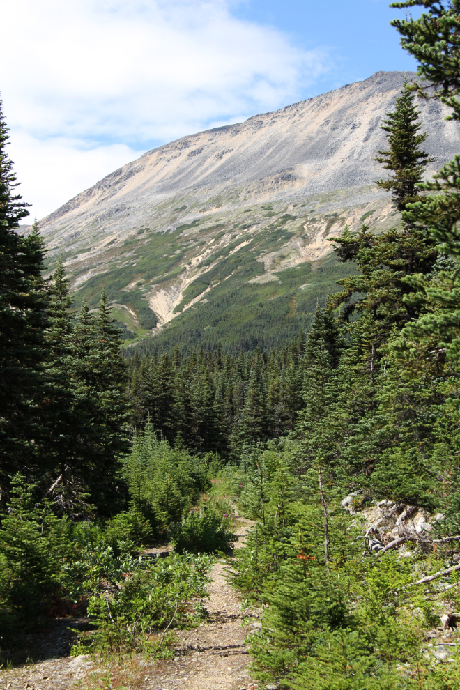
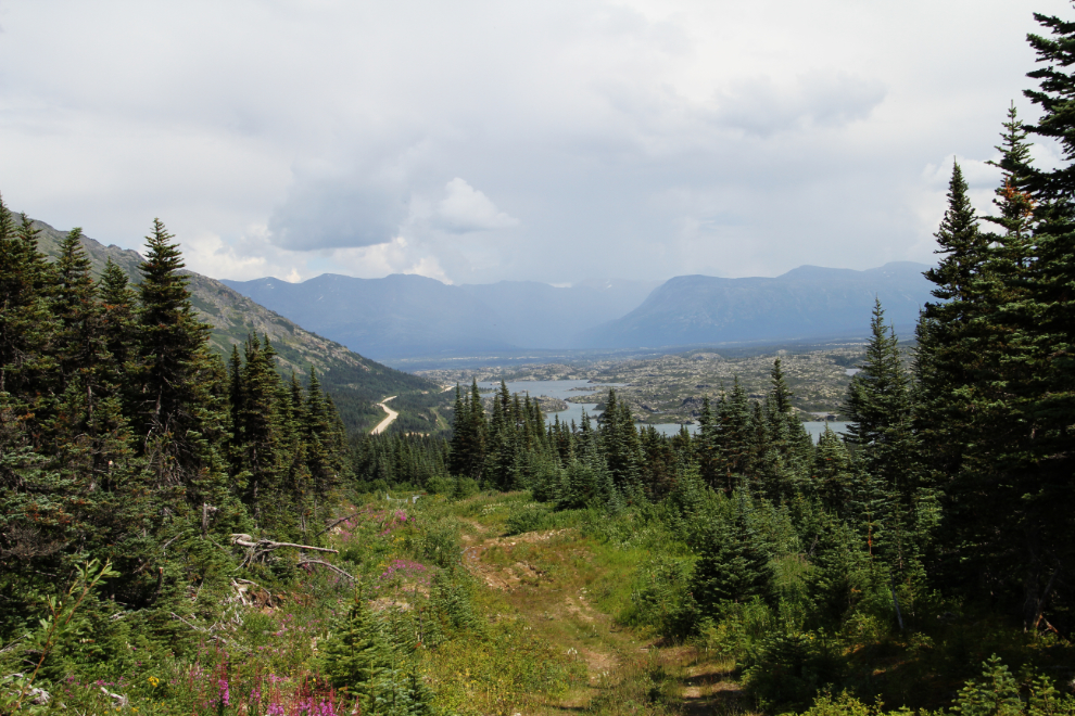
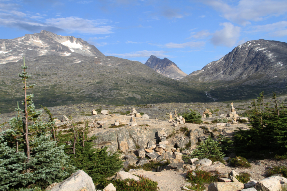
Looking back down the trail, 15 minutes from the highway. Shortly past this point, the trail joins the long-abandoned road that was built to construct a dam at Bryant Lake to supply water for the Canada Customs and Department of Highways camp at Fraser.
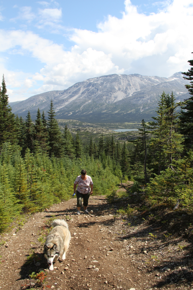
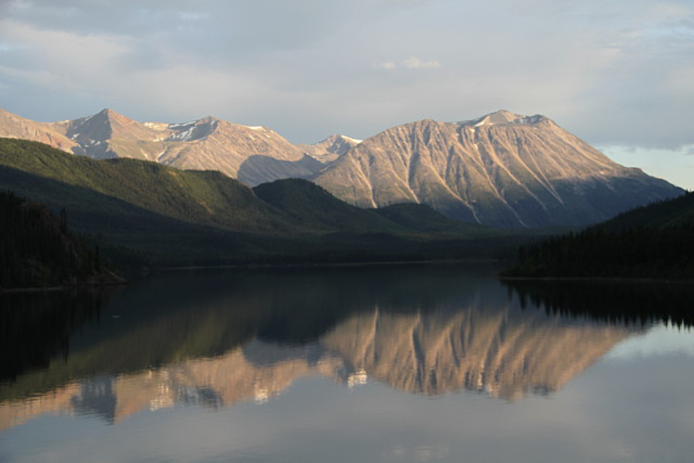
The view to the north, with the highway and Bernard Lake in the distance. Fraser is out of sight in the centre of the photo.
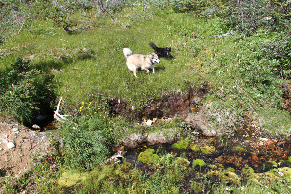
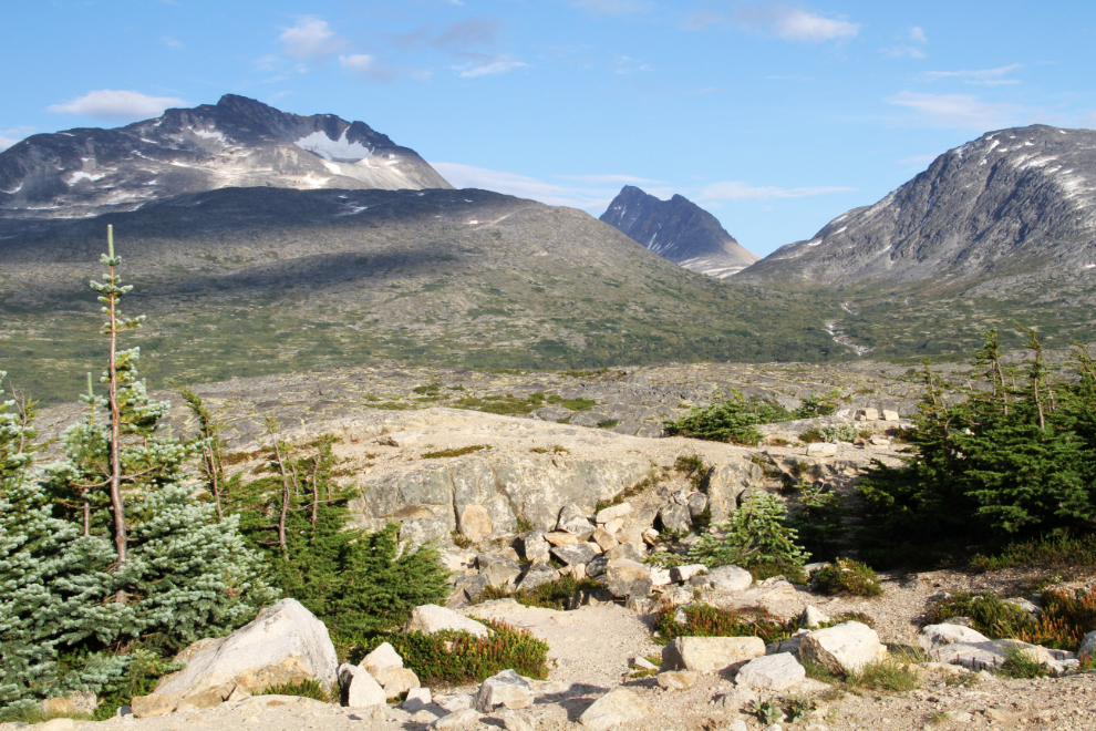
We just wanted to stretch our legs for a while, so at 3:20, at an elevation of 983 meters, we stopped for a while and then started back down. Bella and Tucker found a wet area that was good fun to play in, and a bit further down, Bella found a large, fresh pile of grizzly poop that she proceeded to smear all over her head and face! There was a bit of a delay in the hike while Miss Bella got a thorough cleaning in a small creek 🙂
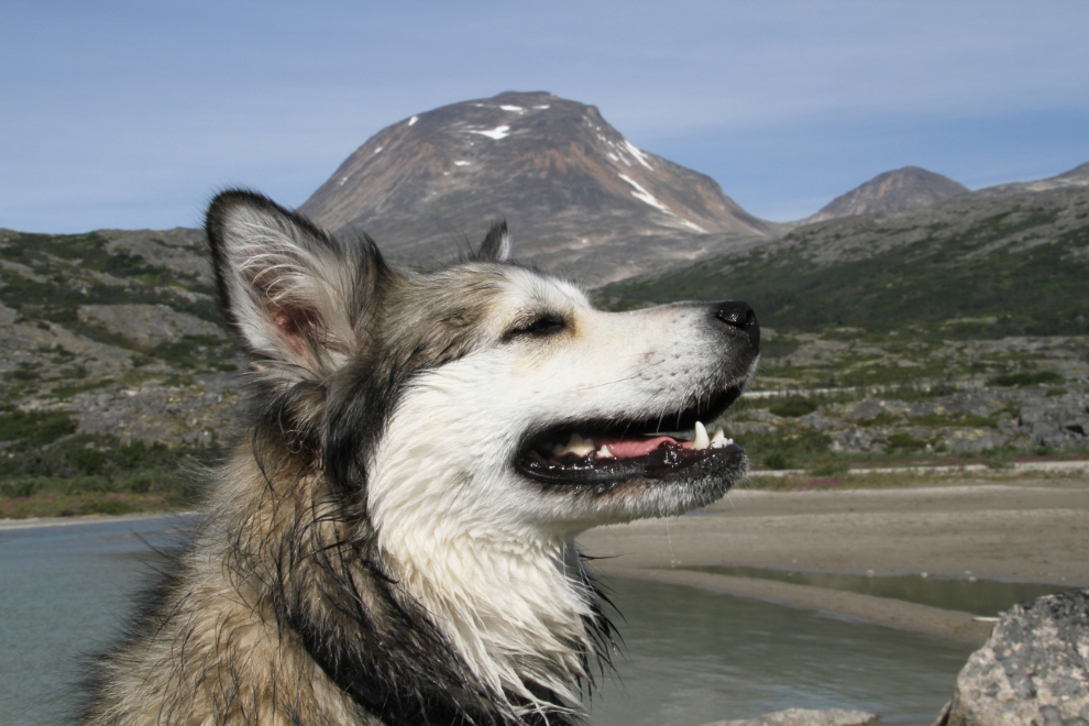
The beach on Summit Lake is our favourite spot – it’s absolutely superb for playing with Tucker and Bella. It’s usually hard to tell when it’s time to call a halt to the play. Bella is exhausted long before Tucker, but will keep on going if he initiates another run. In this photo, Bella was savouring a smell she picked up on the wind during a brief break 🙂
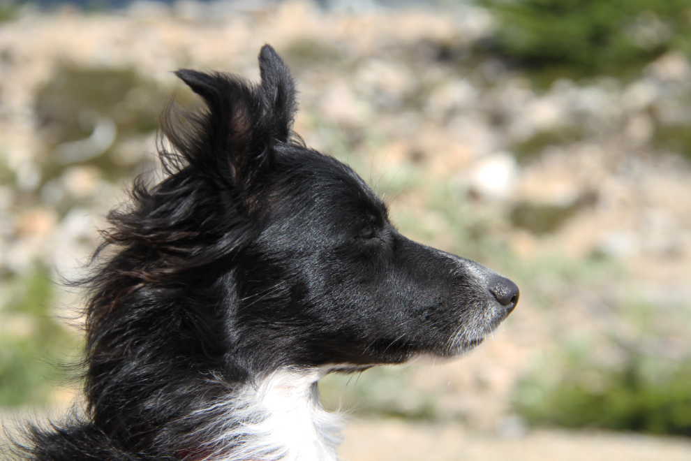
We got back to the motorhome right at Wine O’clock. It was a gorgeous afternoon to just soak up the hot sun and enjoy the incredible scenery and our family. Tucker was so cute with his hair streaming in the wind.
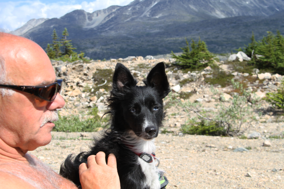
My little lapdog. What a guy 🙂
I’ve discussed Summit Creek before as the place where tourists like to build cairns. I object to them, and many other people do as well, because throughout the White Pass, they get torn down pretty much as fast as they’re built. A particularly energetic busload of people on Saturday had made quite a mess on the route that we use to go to the beach, though…
… so I spent a few minutes that evening putting things back the way Mother Nature intended them to be. Cathy said that it looked pretty funny from the motohome – all she could see was rocks flying through the air.
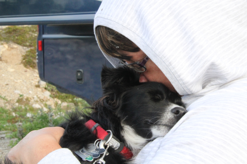
Saturday night at 9:00 pm – Tucker’s bedtime 🙂
On Sunday morning, things looked pretty bleak at 06:00, but the wind had been howling all night, so anything could happen.
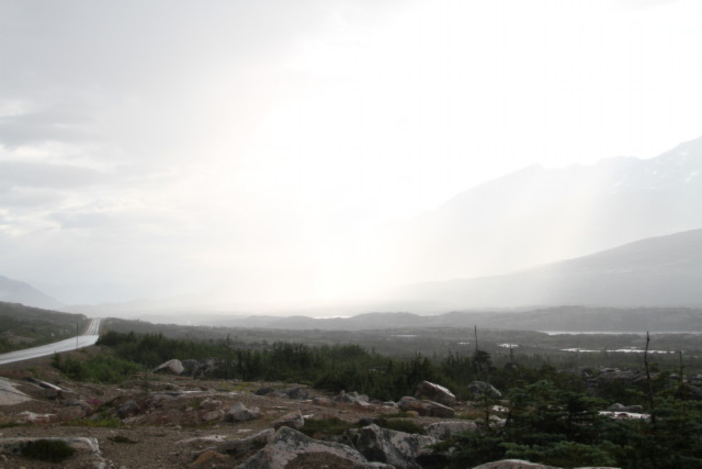
At 8:50, a particularly strong small rainstorm was passing through the valley. This is looking north from “Outhouse Hill” just north of the summit – using outhouses when they’re available allows us to say off-grid with the RV much longer.
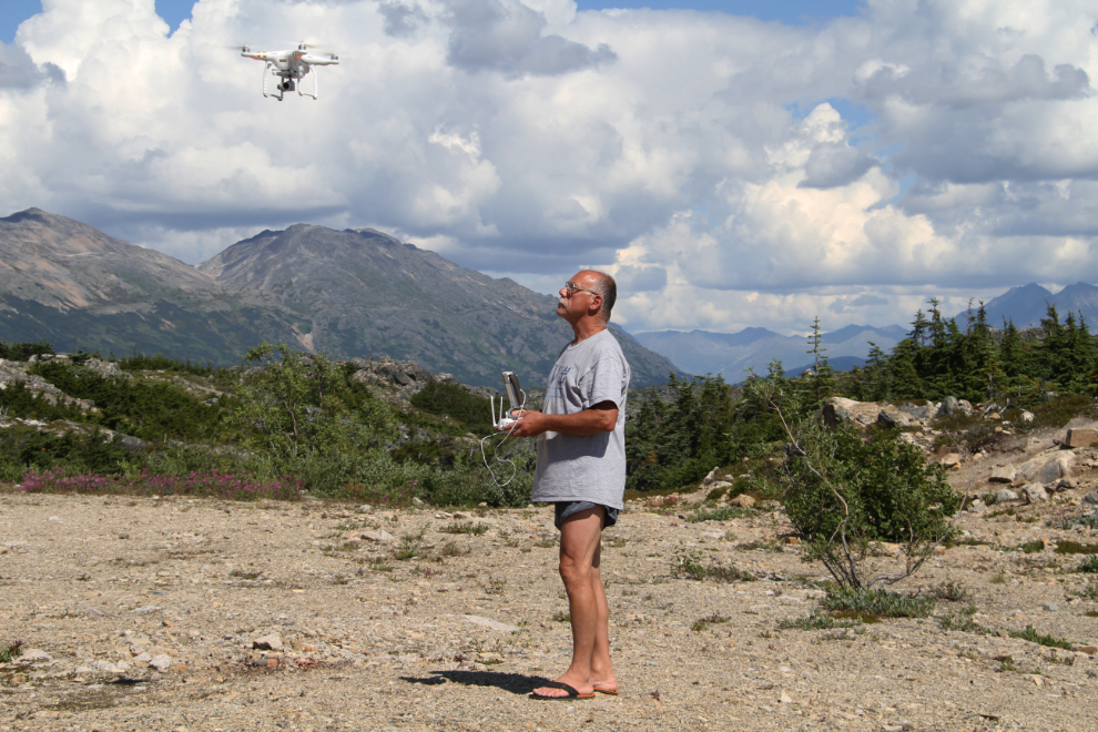
We got a fair bit on sun through the day, and despite the ongoing wind, I finally launched my drone on Sunday afternoon. It performed beautifully, and I shot a couple of videos over our campsite. I’m still not happy with my skill handling it (or my knowledge of its capabilities), though, and need to get out with it a lot more.
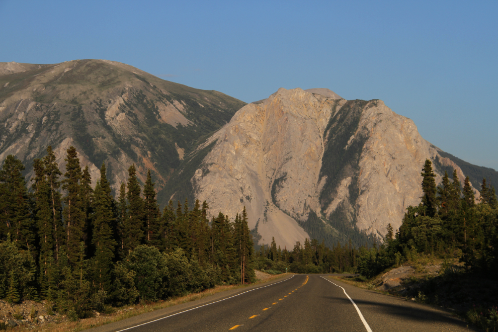
There was some very impressive cloud development to the north through much of Sunday. This was shot at 5:45 pm. I was going to let Cathy drive back home herself on Sunday night, but decided at the last minute to drive her so I could have the Tracker for my wanderings. My plan was to get some serious hiking done on Monday and Tuesday, and be home on Wednesday.

The light as I was driving back to the White Pass Sunday night was wonderful. This was Lime Mountain south of Carcross at 9:20 pm.
Windy Arm, at the Yukon/BC border, at 9:40 pm.
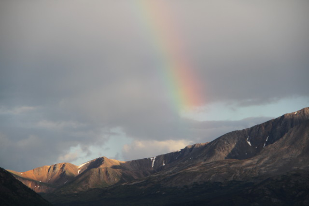
I even got several rainbows during the drive as a result of all the thunderstorms that were still passing through – this one was at 9:45.
In the White Pass at 10:10 pm. Yes, driving Cathy back to Whitehorse had been a very good idea.
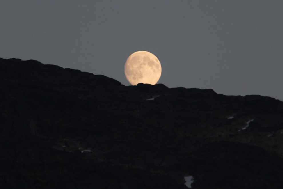
I had seen the moon rise over the ridge just north of Fraser as I came by, but at 10:50 it came over the much higher ridge above my campsite. A lovely way to end the day.