Road trip Day 3: Smithers to Stewart, BC
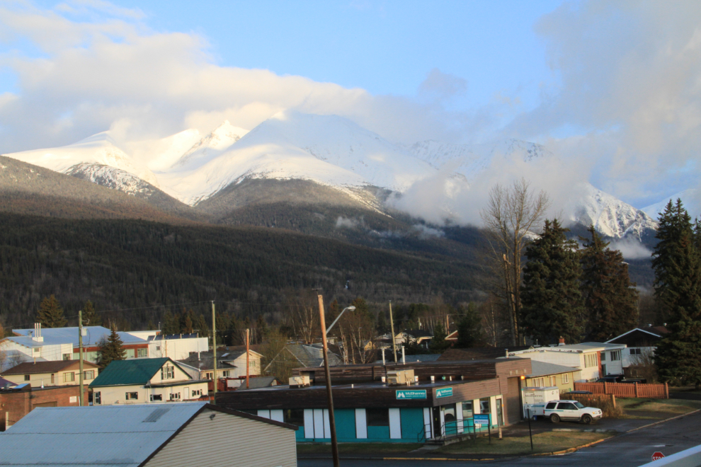
On Easter Sunday, I had taken advantage of the toast-and-cereal breakfast at the Sunshine Inn, taken this photo from the viewing deck a few feet from my room on the 3rd floor, and checked out by a few minutes after 7:00. With my next destination, Stewart, only 328 km (204 mi) away, I had lots of time to look around this day.
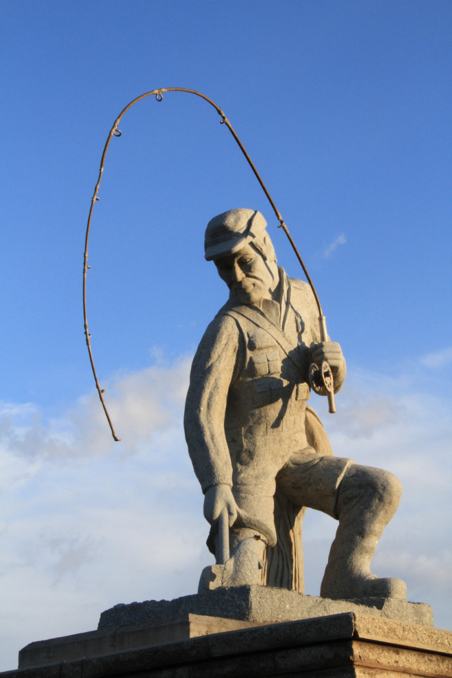
At the eastern end of town, Highway 16 is flanked by two larger-than-life-size concrete sculptures. The point of the fisherman is easy to figure out – the area is famous for its fishing.
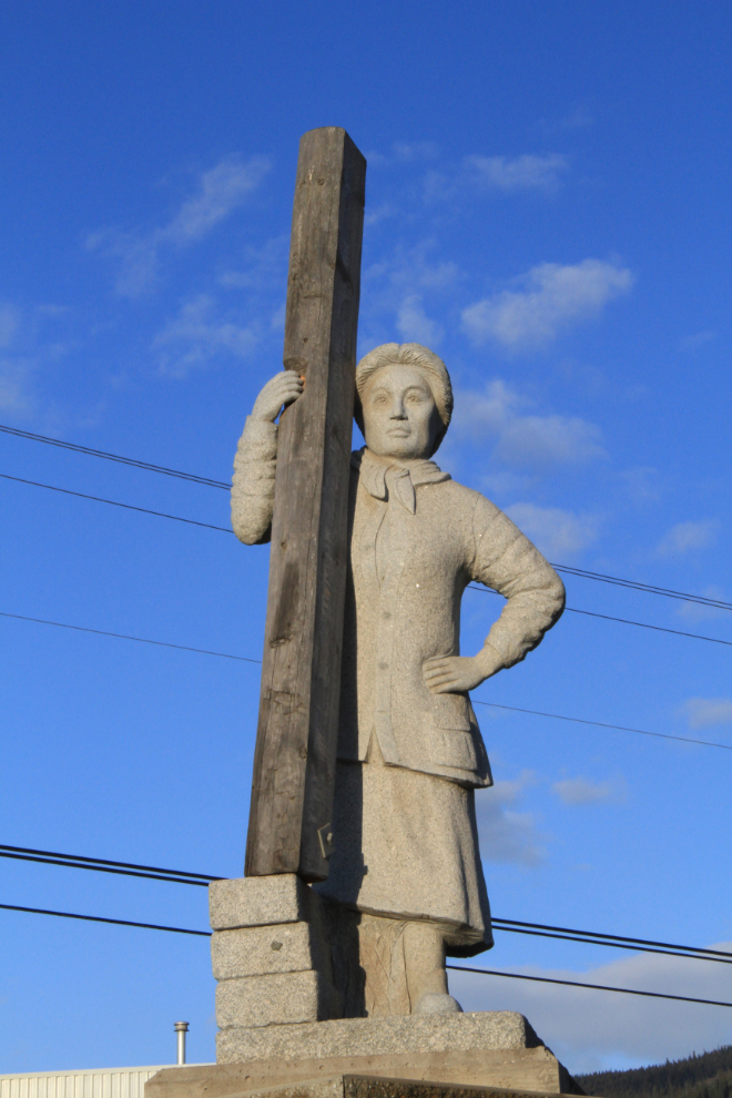
A prompt reply from the Smithers District Chamber of Commerce about this sculpture on the opposite side of the highway whose symbolism I wasn’t certain about says: “The mother-like woman holding the railroad tie symbolizes all the pioneer women who worked building the Grand Trunk railroad. The Grand Trunk Pacific Railway was a 4,800 km system whose main line ran from Winnipeg, Manitoba to Prince Rupert, British Columbia. Women played an important role in the blossoming of Smithers. Their husbands and sons labored on the railroad, prospecting, surveying and laying down track.”
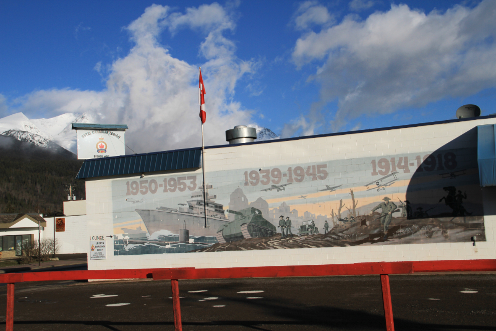
There are a few murals around Smithers, none more impressive than this one on the side of the Royal Canadian Legion hall.
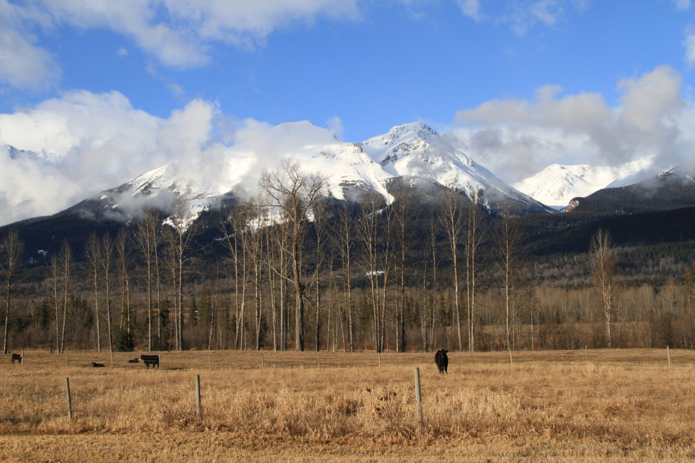
Hudson Bay Mountain, well known to skiers for 1,000 miles around, also dominates the view for many miles around Smithers.
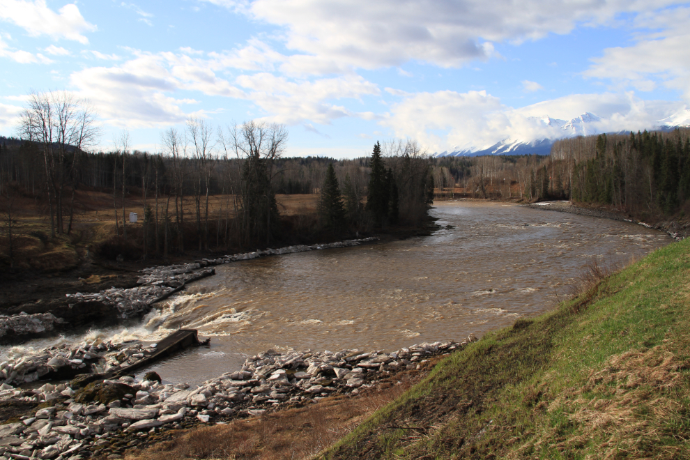
I made a brief stop at Moricetown Canyon on the Bulkley River. Once the site of the largest village of the Bulkley Valley (Carrier) Indians because salmon congregated below the canyon and were easy to catch as they passed through it, it was named after pioneer missionary Father Adrien Gabriel Morice. I knew of Father Morice from an early age as the author of my father’s prized book, “The History of the Northern Interior of British Columbia, Formerly New Caledonia, 1660-1880”, published in 1904.
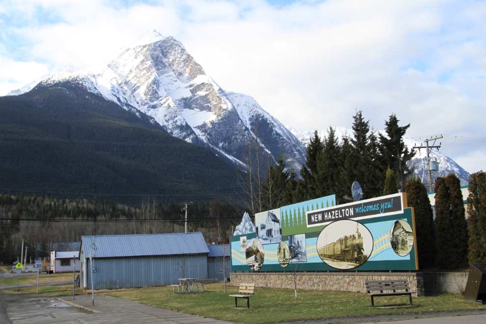
The next stop was New Hazelton, with Roche de Boule towering over it. It would be easy to spend at least a full day here, as there are several very good walking trails and 2 historic villages.
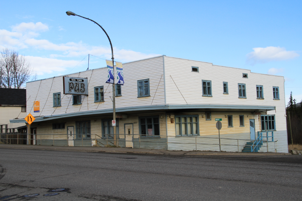
All the activities didn’t help the New Town Pub, which is closed and by the sign in the window has been taken over by the local government.
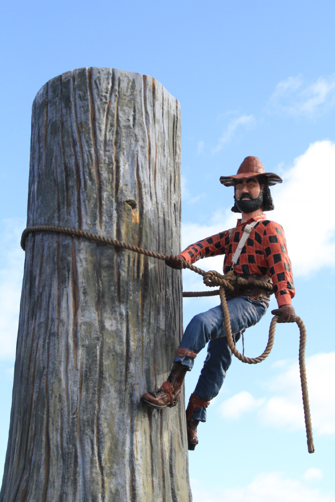
Over at the Visitor Information Centre, there are some interesting sculptures, including this “Upper Skeena Logger”. The plaque notes that “Since the 1950s logging and timber manufacturing have grown to become the largest employers of Hazeltons area residents.”
At 11:00, I had finished a big breakfast at the PetroCanada gas station at the Highway 37 (Stewart-Cassiar) junction, and was ready to cross over the Skeena River.
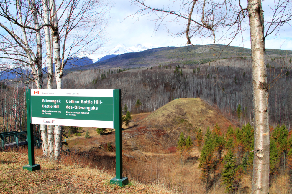
Just 4.3 km up Highway 37, a took the short detour through Kitwanga to Gitwangak Battle Hill National Historic Site. A fierce warrior chief, ‘Nekt, used Battle Hill as a base to make raids against Nass River and coastal peoples for food, slaves, and control of lucrative trade routes including the famous Kitwankul Grease Trail.
To reach the top of Battle Hill, there are 107 steps down from the parking lot, and then 67 more from the base to the top of the hill (yes, I counted them 🙂 ). So that’s 348 steps in total, in the 15-20 minutes that most people apparently spend here – a good morning workout as well as being very interesting.
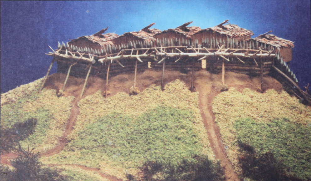
This is a model of the fortified village that existed on Battle Hill – the photo is on one of the interpretive signs at the site. To defend the village, ‘Nekt and his warriors hoisted huge spiked logs up the palisade walls and fastened them with cedar ropes. When the war horn signaled an enemy attack, the logs were rolled down to crush the invaders.
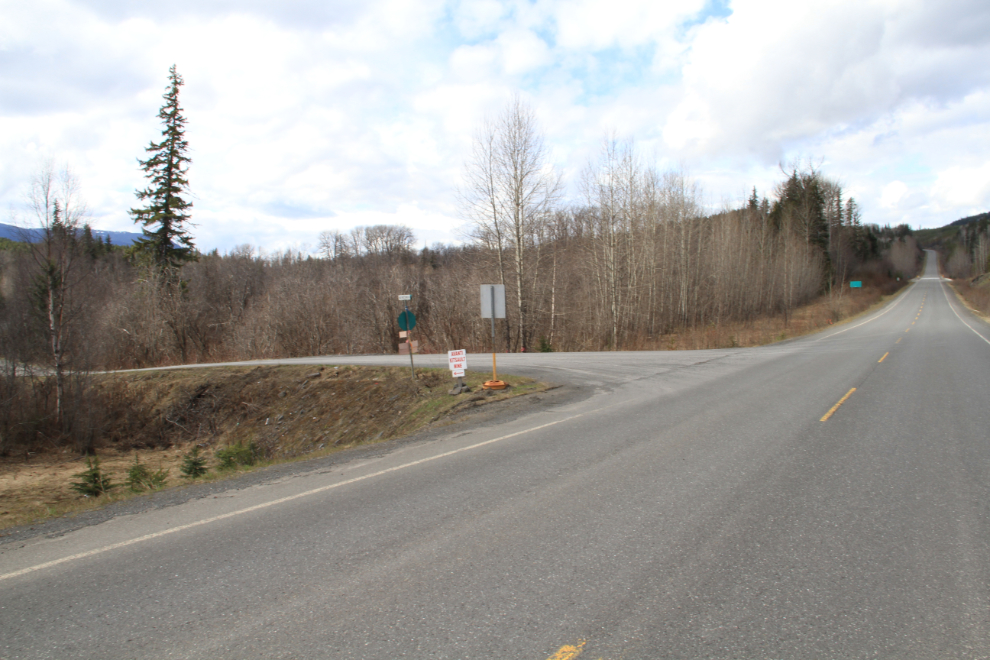
This is looking north at Cranberry Junction, Km 76 on Hwy 37. To the left (west), the fairly rough Nass Forest Service Road leads to the former mining town of Kitsault, the First Nations village of New Aiyansh, and to Nisga’a Memorial Lava Bed Park. It joins the Nisga’a Highway, which leads to Terrace (the last 70 km are paved).
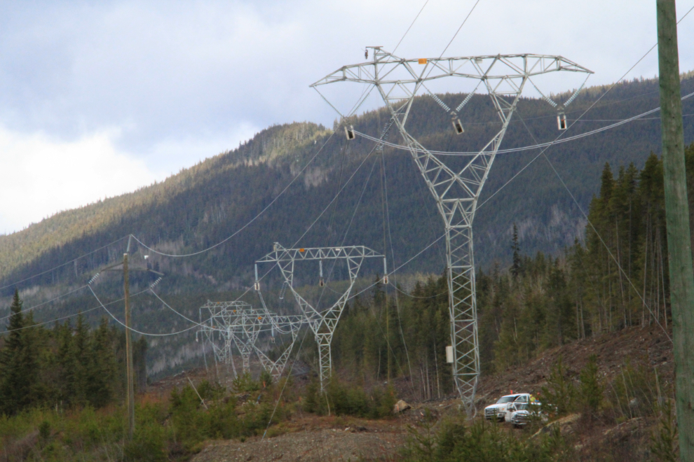
The 344-kilometer-long (214 miles) Northwest Transmission Line is almost finished – the final lines are being strung at the south end with helicopters and bulldozers. Ir runs along the Stewart-Cassiar from just north of Cranberry Junction to Bob Quinn Lake at Km 296.
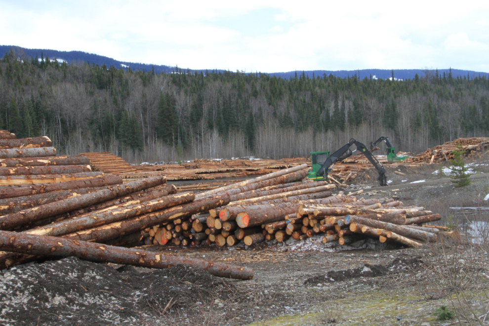
One of the side economic benefits of the powerline construction is the huge amount of timber that was cut and is being trucked to Stewart.
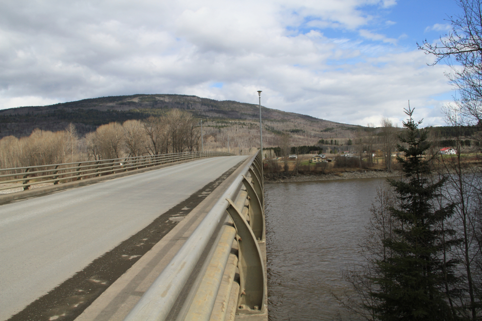
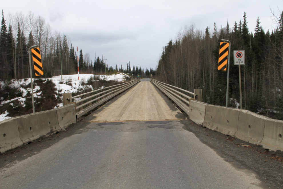
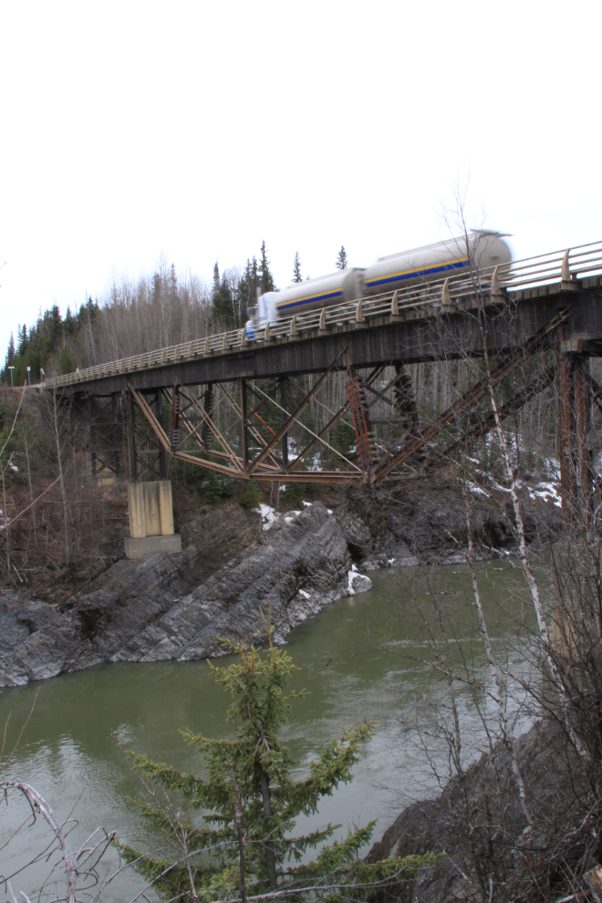
The one-lane Nass River Bridge was opened on July 8, 1972. Of wood and steel construction, it’s 119.9 meters long (393.5 feet), with a main span of 56.7 meters (186 feet).
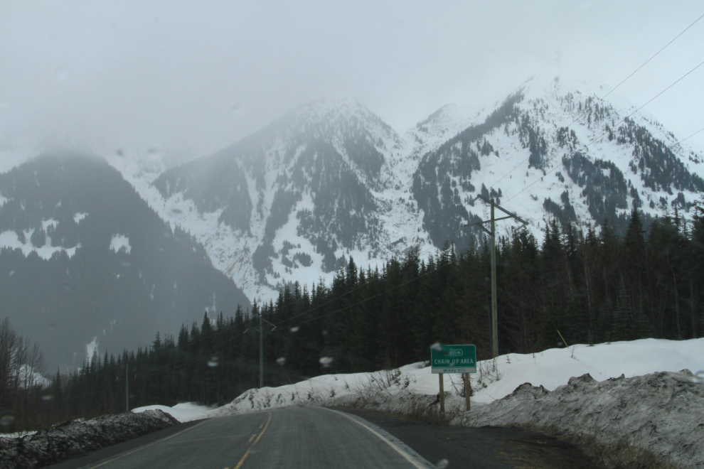
At 1:45 pm, I reached the junction with Highway 37A (Meziadin Junction), and turned south towards Stewart, 61 km (38 miles) away. As I approached Windy Hill, it started to snow quite heavily.
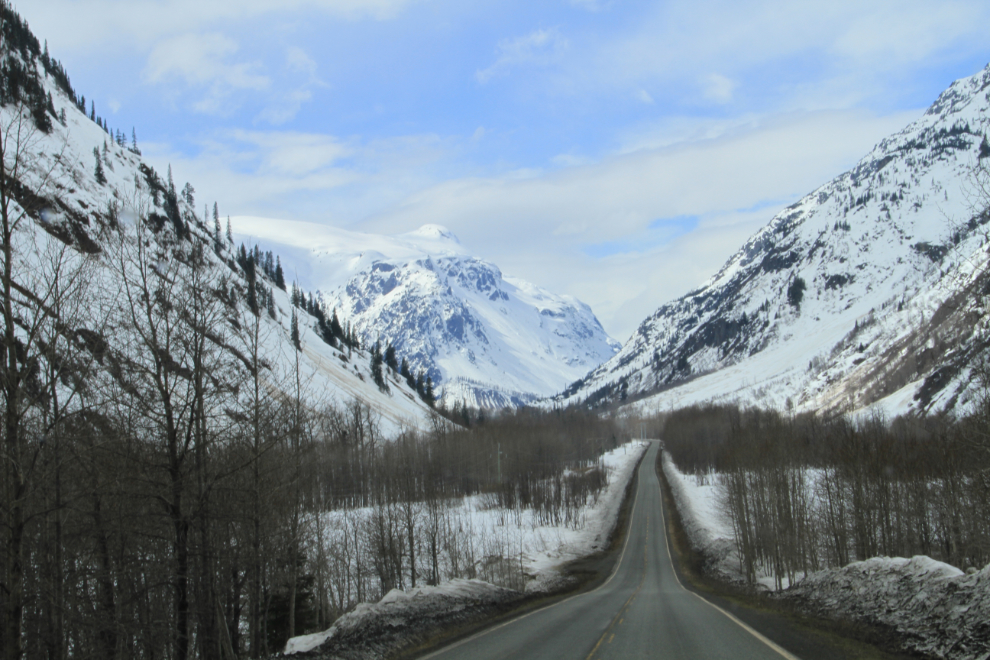
Within a couple of miles, though, the snow had stopped and the skies were clearing as I neared the Bear Glacer, which is at Km 40 (from Stewart).
There was enough mist in the air that photography of Bear Glacier wasn’t good, but it’s very impressive regardless.
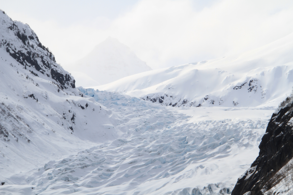
The massive avalanche chutes, glaciers and rock pinnacles through Bear Pass are all extremely impressive.
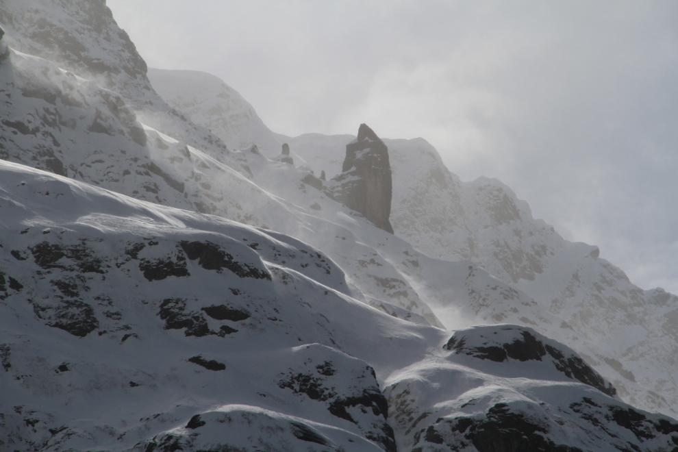
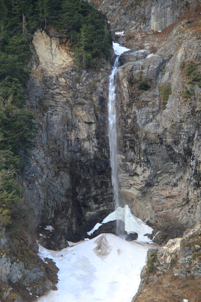
Even once the highway more or less levels out, it’s walled in by very steep mountains, and there are countless waterfalls and avalanche chutes.
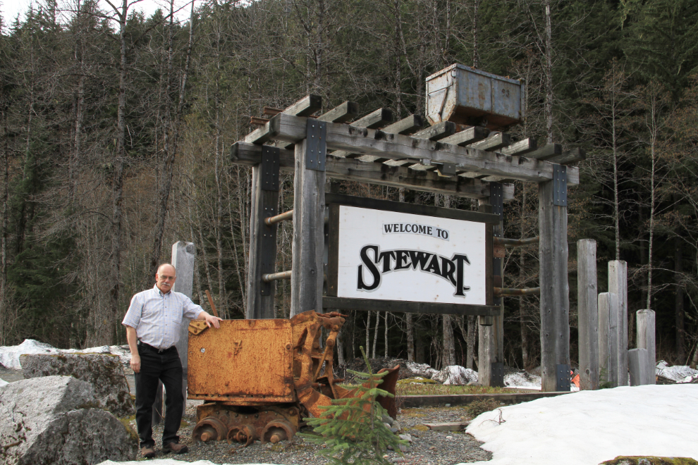
The author with some of his favourite things 🙂 This was shot at 3:00 pm, so my day was far from over. I’m going to post about my exploration of Stewart and Hyder separately, though.