Driving from Calgary to the Icefields Parkway
I’m a couple of days behind in my posts now, as I knew would happen once I got into the Rockies where my days are long and there’s a lot I want to show you.
I got away from Airdrie, just north of Calgary, just before 05:30 Monday morning. Commuter traffic was already starting to get heavy.
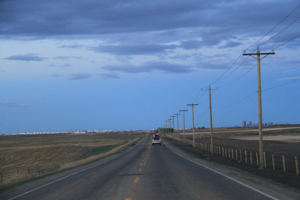
I took a new route to the west, further south than my usual, and that decision got me a few photo locations I’m pleased with, including this one.
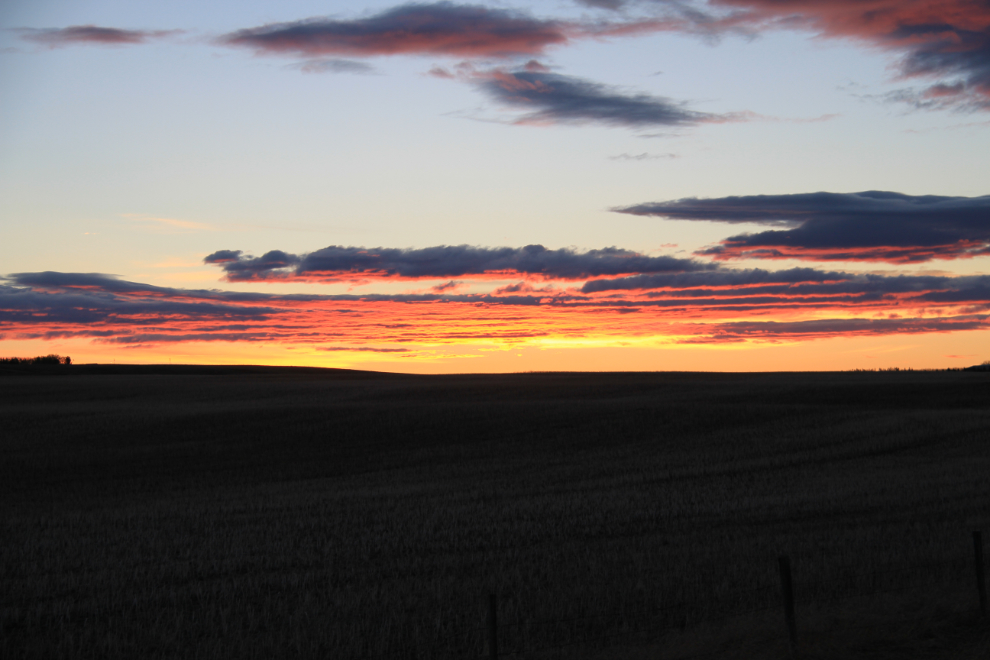
Sunrise was beautiful for about 15 minutes – this was shot at 05:42.
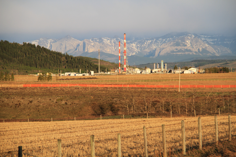
This is Shell’s Jumping Pound Gas Complex, just west of Cochrane. It employs about 100 people and produces 7.7 million cubic metres of raw gas daily.
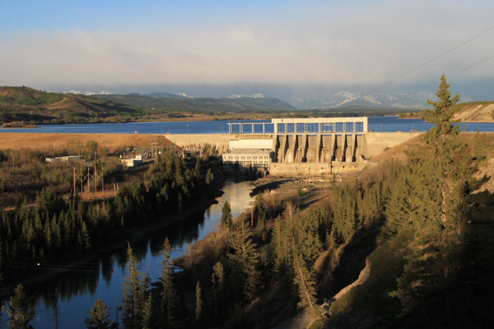
As usual, I kept to the back roads, in this case Highway 1A, which took me past the Ghost Lake Dam. It was built in 1929 by Calgary Power (now TransAlta) for power generation.
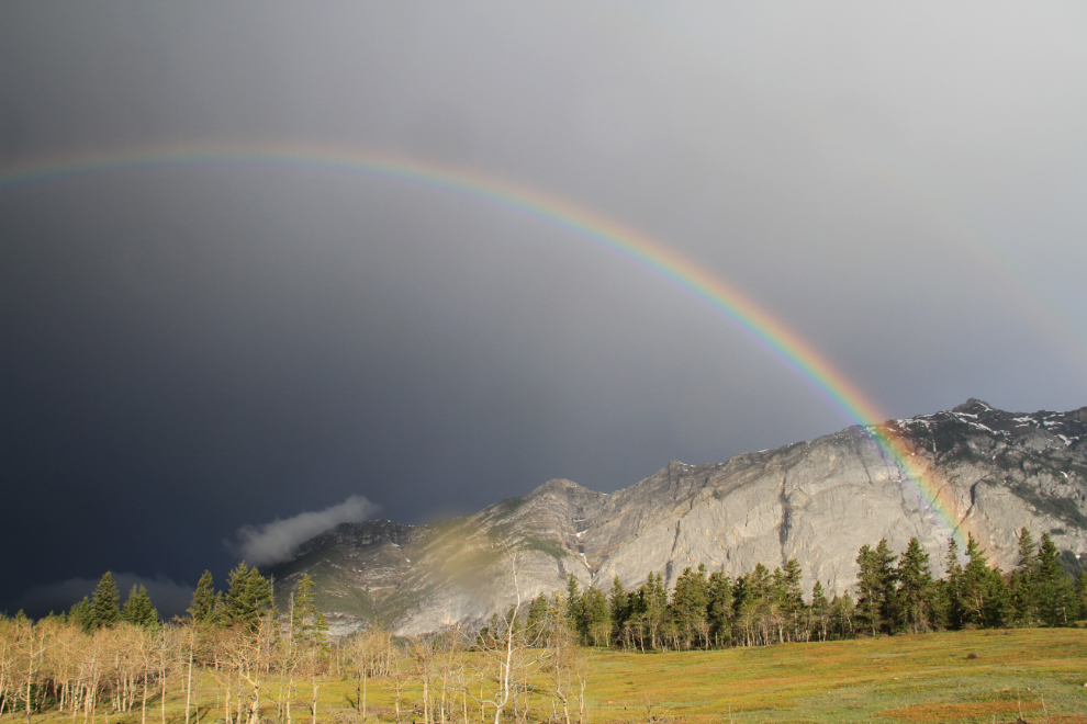
It started raining as I reached the Rocky Mountains, but with ragged clouds, the occasional bit of sunshine produced 3 rainbows within a few minutes.
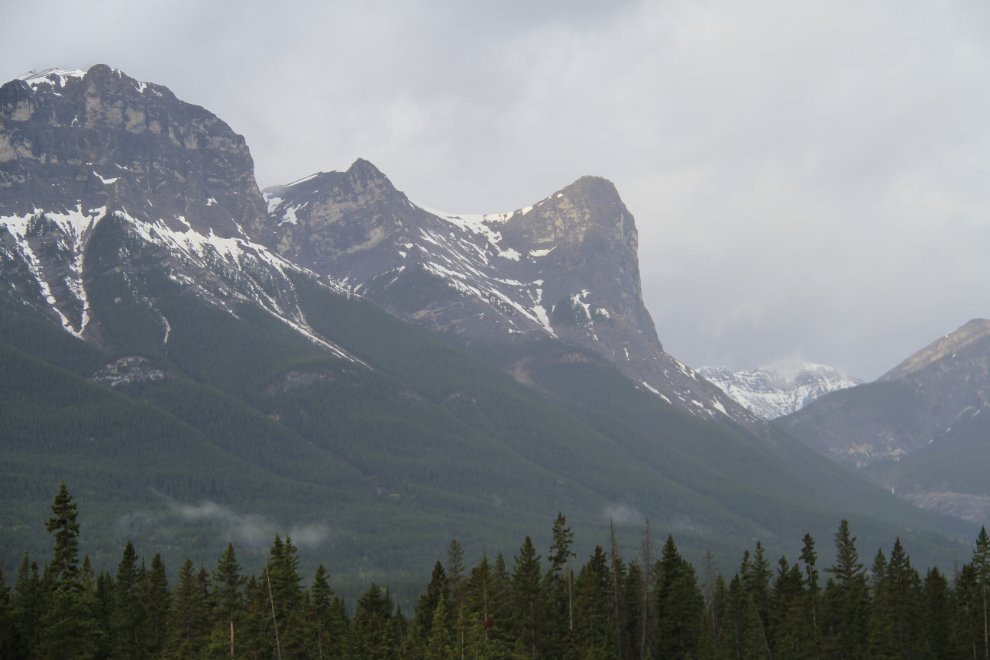
The mountains above Canmore, where I finally stopped for breakfast – I had tried unsuccessfully to find an open restaurant in Cochrane.
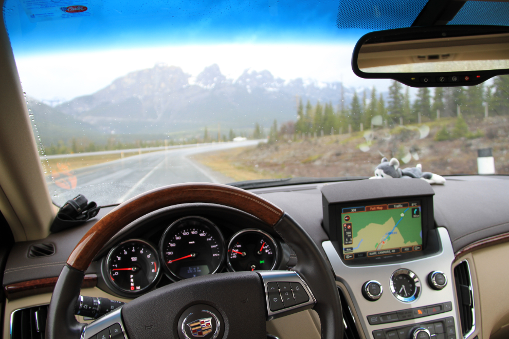
My aids to exploring – the excellent SPOT Messenger, the car’s disappointing nav system, and my faithful lead dog, Nanook 🙂
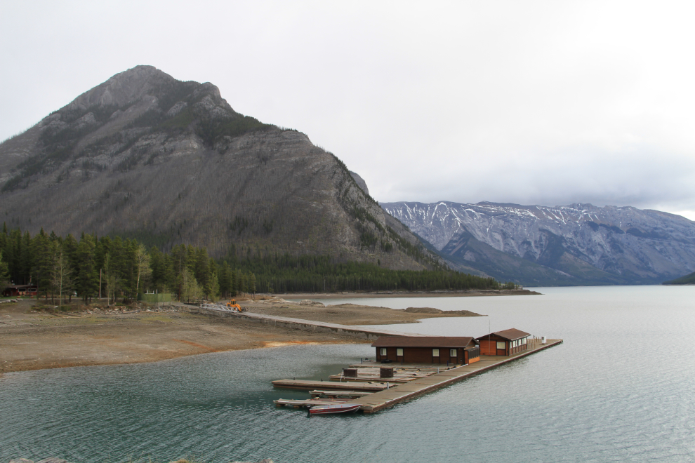
I took the short side trip to Lake Minnewanka (“Water of the Spirits” in the local Nakoda language). Located just north of Banff, the peaks along it are very impressive. This photo was shot at 08:30.

Low water at Lake Minnewanka. The loader was moving ramps into place for the tourists who will arrive in large numbers very soon to this very popular spot.
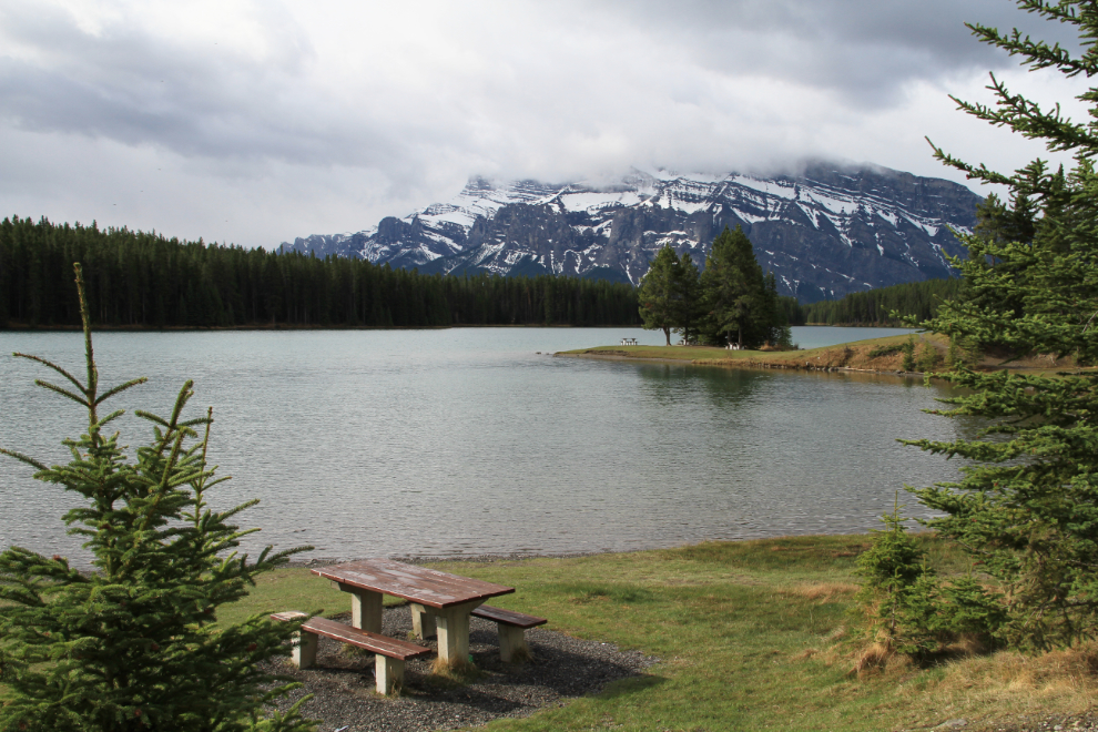
Two Jack Lake, on the Lake Minnewanka road.
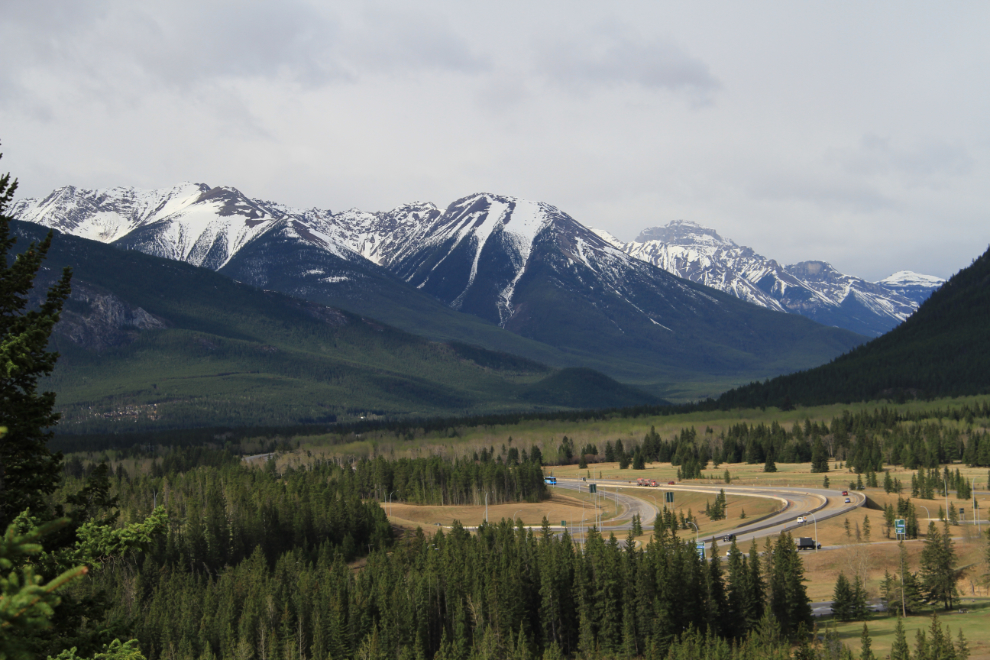
There’s a fairly short section around Banff where no back roads are available, and the freeway is the only option.
As soon as possible, I turned onto the Bow Valley Parkway, a drive that I particularly enjoy.
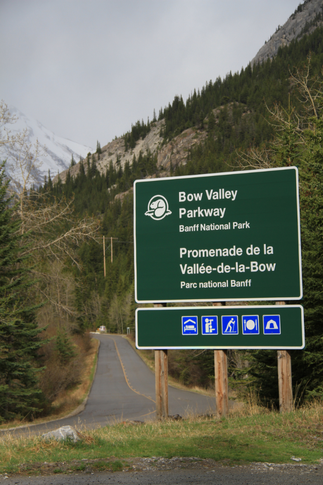
This is one of the reasons I enjoy it 🙂
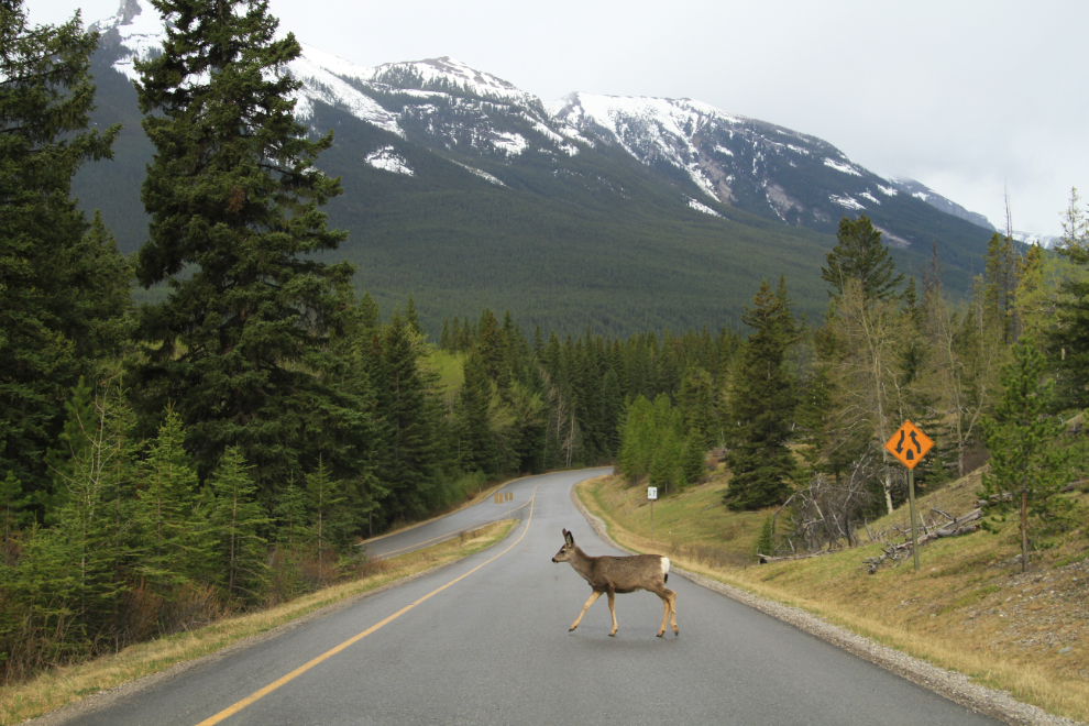
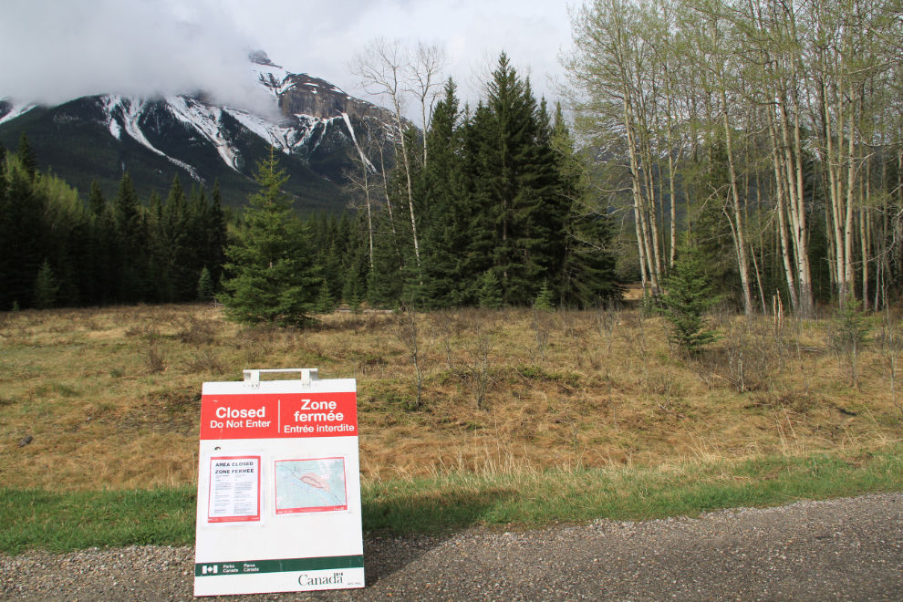
Many of the trails and rest areas were closed, and I stopped to ask a ranger about it. He said it’s to protect the wolves, whose population is in serious decline due to humans. The next day, I saw a wolf pup dead on the Icefields Parkway.
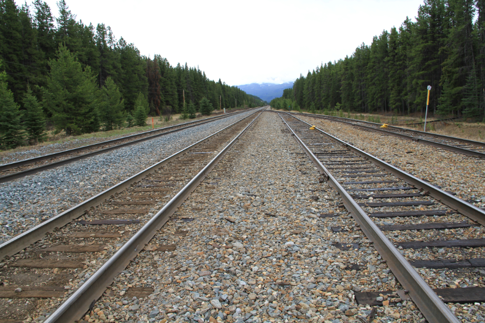
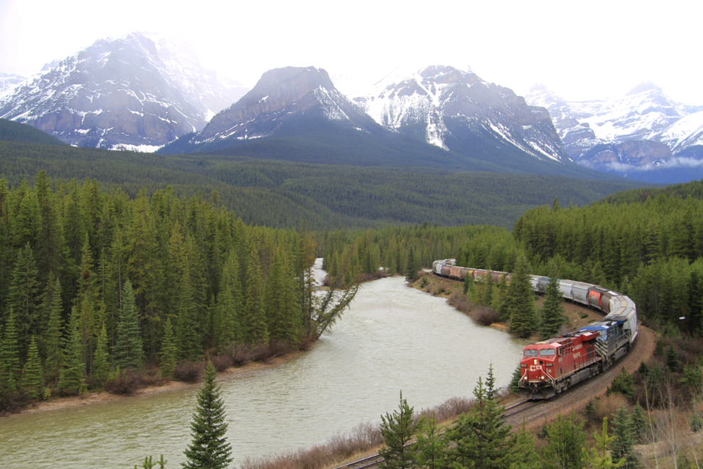
You can see why trains are a problem for wildlife – it’s a very busy corridor.
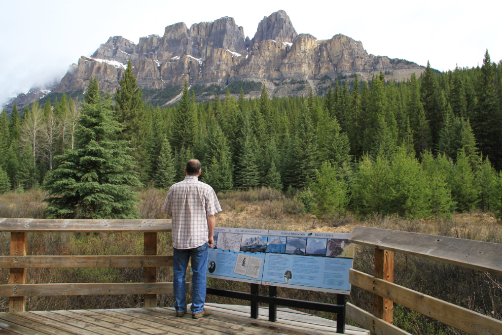
Me at Castle Mountain at 10:00. The upper and lower cliffs are made of limestone and dolomite, while the prominent ledge across the middle is shale. The highest peak, on the right, is Eisenhower Peak or Eisenhower Tower – it’s 2,752 meters high (9,029 feet). When I was a kid, the entire mountain was called Eisenhower, but it reverted to its original name in 1979.
I only had to wait about 10 minutes for a train at world-famous (among train fans) Morant’s Curve. While waiting, I chatted with a British couple who had some relatives come to Canada in the 1880s to build this railway.
At 11:00 I turned onto the Icefields Parkway. What an awful greeting to one of the finest mountain roads in North America 🙁
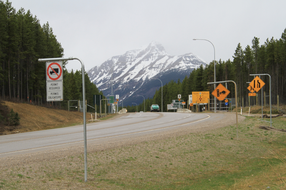
Because I took so many photos that I want to show you, I’ve broken this day up into two parts. Photos of the Icefields Parkway make up the next post.