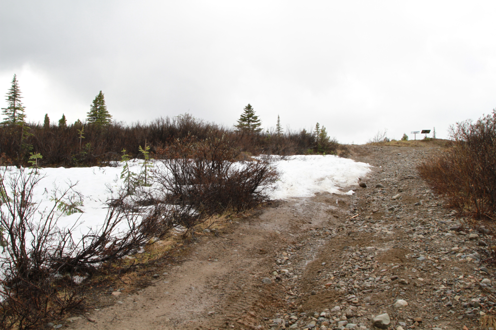
Riding the e-bike up to snow on the Coal Lake trail
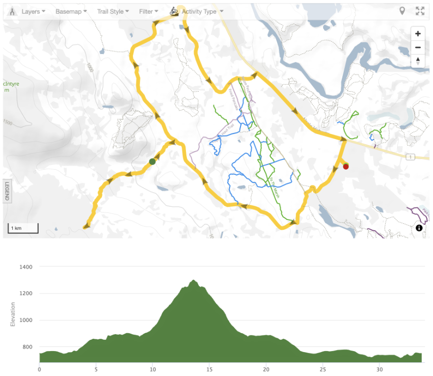
On Sunday (June 13th), I decided to try a road/trail that has intrigued me for many years. I knew it wouldn’t be an easy ride, but it was tougher than I expected. In a total time of 3 hours, 19 minutes, I rode 33.7 km (20.9 mi), and climbed 778 meters (2,552 feet). The temperature ranged from 11-14°C/52-57°F and it was mostly cloudy with thunderstorms threatening.
It might look from my recent posts that the e-bike has taken over my life. It actually hasn’t, but several things are keeping me close to home for another week or so at least, and the bike is a great way to try a wide range of trails during this period.
The screenshot below is from the ride’s page at Trailforks, where you can see an interactive map and other trails. I also had the Relive app fired up, and you can see that cool video here.
I left home at 12:49, and 14 minutes later was in the old Whitehorse copper belt mining area, about to cross Wolf Creek on the Trans Canada Trail. On October 5, 2011, this bridge was named the Peter Greenlaw Memorial Bridge to honour the RCMP officer and Klondike Snowmobile Association president who died in 2005 at the age of 49.
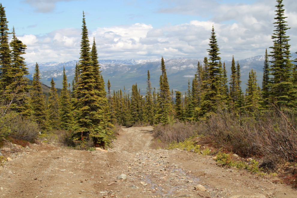
At 1:13, I stopped at one of the nicest vistas on this section of the trail.
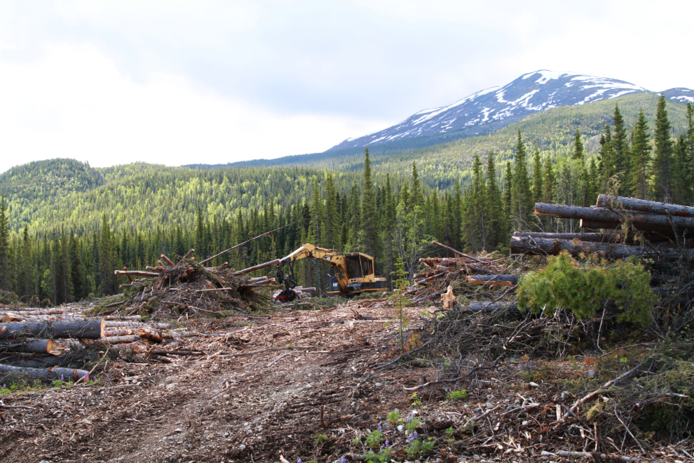
The logging of the massive new firebreak is continuing. Everyone who pays attention to such things knows that the day we’re going to desperately need that firebreak is coming.
Skipping Stone Creek, at 1:21. I don’t know yet where that cute name came from.
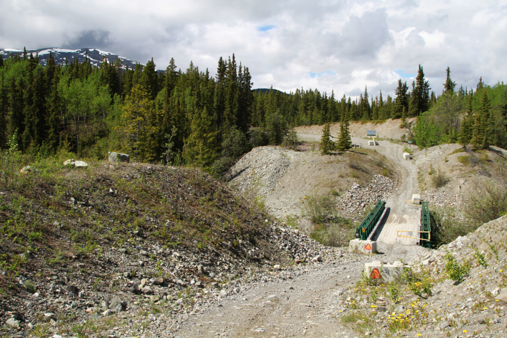
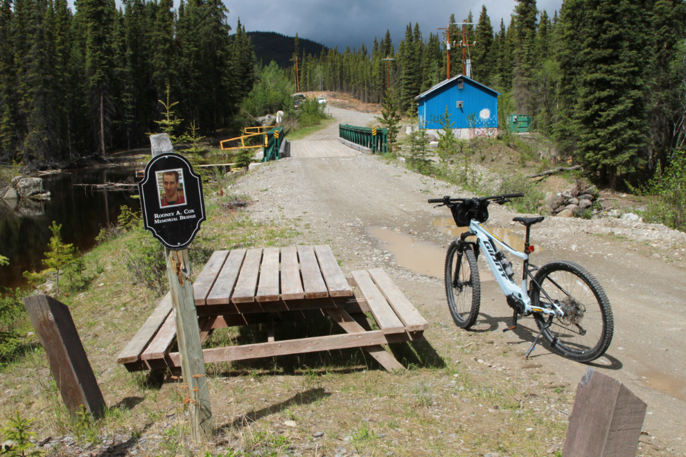
A Bailey bridge, the Rodney A. Cox Memorial Bridge, crosses Sima Creek. As I started writing this post, I asked on my Yukon History & Abandoned Places group why the bridge was named for him, and soon received this response from James Connor: “The bridge is on a popular section of the Trans Canada Trail which is maintained by the Klondike Snowmobile Association. Rodney’s father Harris Cox has been one of the K.S.A.’s most active and dedicated volunteers for a couple of decades now, doing most of the trail grooming during the winter and also helps with a ton of behind the scenes work during the summer. The bridge was put in not long after Rodney’s passing (Rodney was an awesome guy and it seemed everyone liked him) and since they have contributed so much to the K.S.A. and the T.C.T. over the years the board thought that we should give the family some recognition and they graciously accepted the offer.”
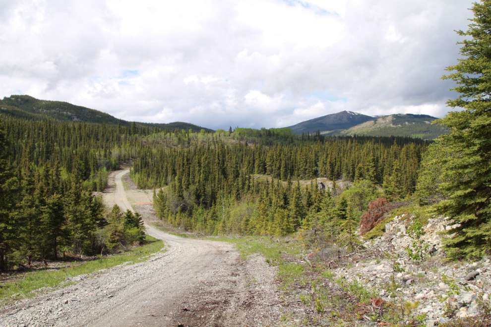
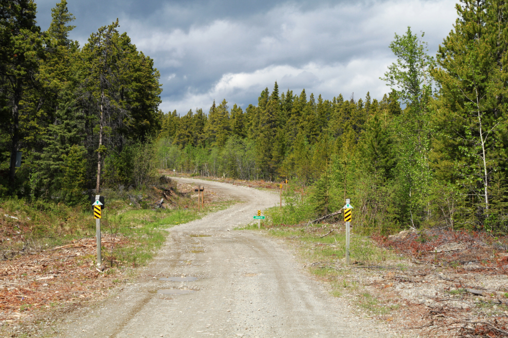
At 1:29 I reached the start of the Coal Lake trail. It used to be a road but that’s no longer an appropriate term for what’s left. Coal Lake first appears in what was the The Semi-Weekly Star on February 5, 1902, when it was on the route of the proposed Yukon Pacific Railway.
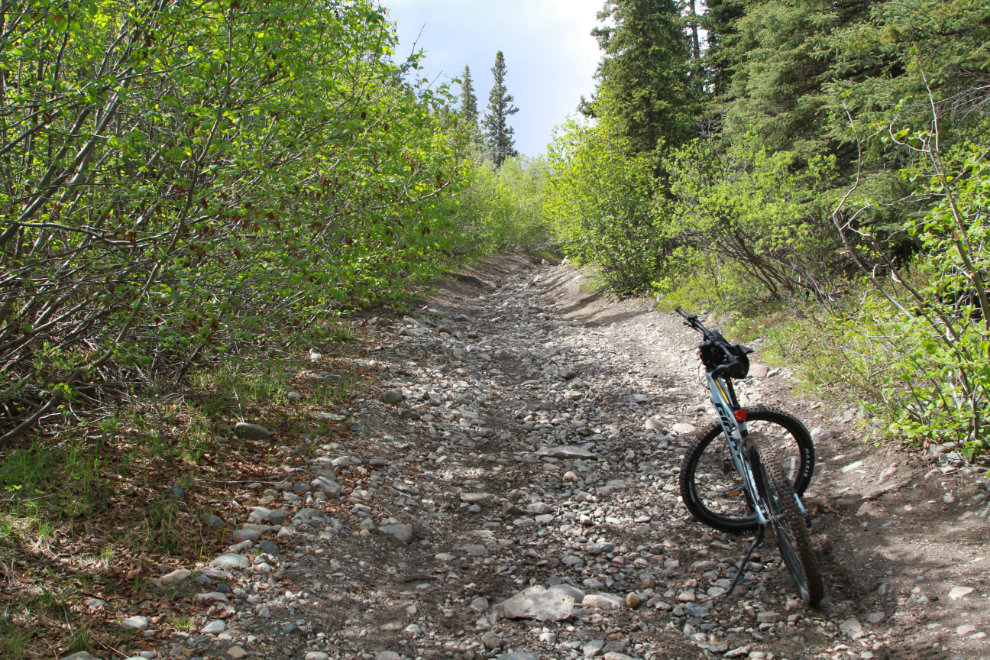
The road soon makes it clear that this probably isn’t a place you want to take your Honda Civic. There is no maintenance except what trail users do.
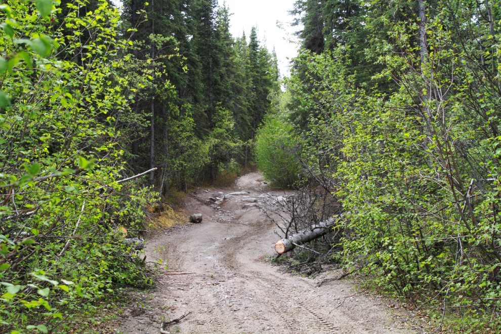
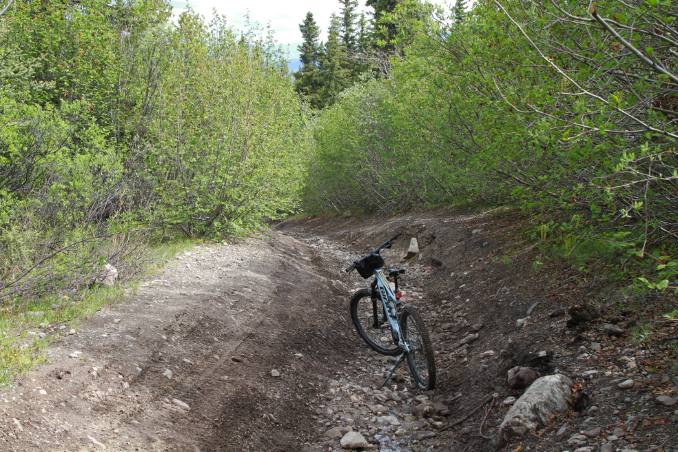
By 1:50 I was wondering if it was a good place to take an e-bike 🙂 Photos don’t show how steep this is.
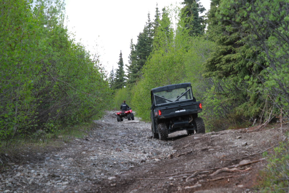
Yes, that’s the most suitable method of transport on this trail.
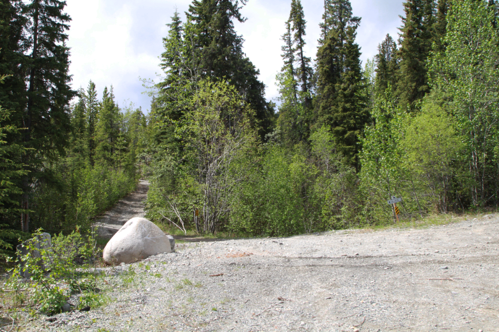
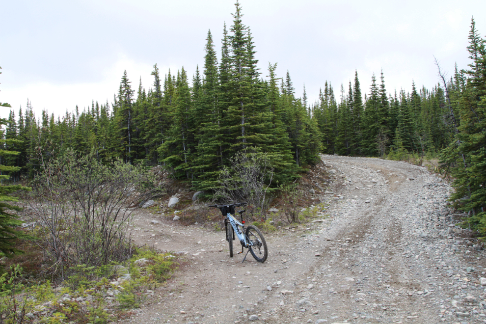
At 2:12, at an elevation of 1,200 meters (3,937 feet), there was a short break from the really steep and rough stuff. It only lasted 100 meters or so before re-joining the main road, but it was welcome regardless.
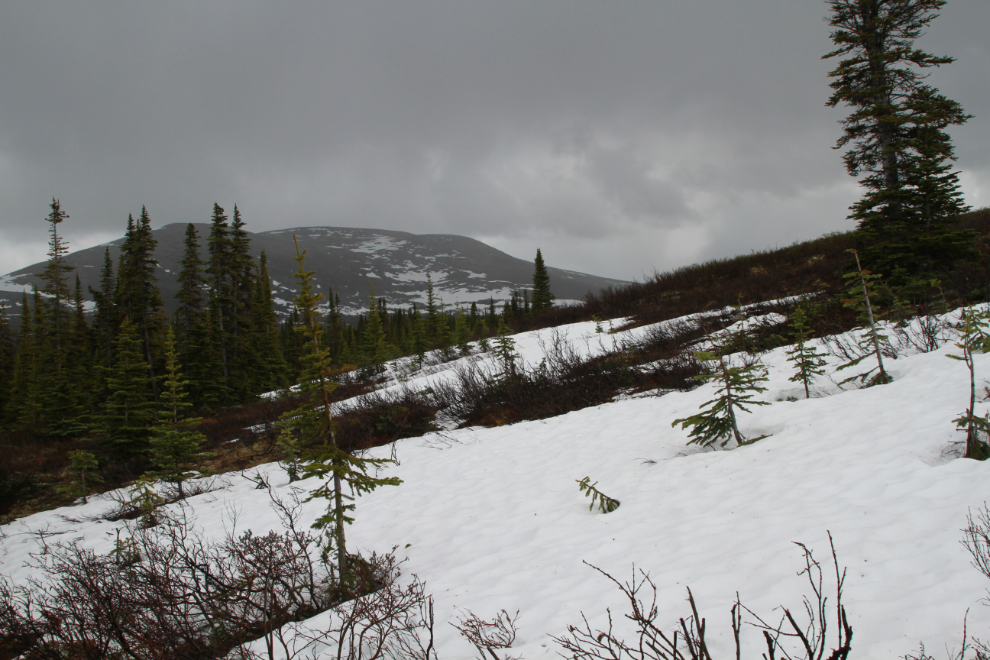
At 2:23, 54 minutes from starting up the Coal Lake trail, I reached snow. It snowed here a few days ago, but this was mostly the remains of the winter’s very heavy accumulation.
Just above that snow, I reached a large level spot at an elevation of 1,302 meters (4,272 feet). That had been a constant climb of 497 vertical meters (1,631 feet) from the start of the Coal lake trail. From there, the view to the south wasn’t good – a large, very dark storm was building and probably coming my way.
It’s a grand view from there, looking across the Yukon River valley. Somewhere down there is a city of almost 34,000 people.
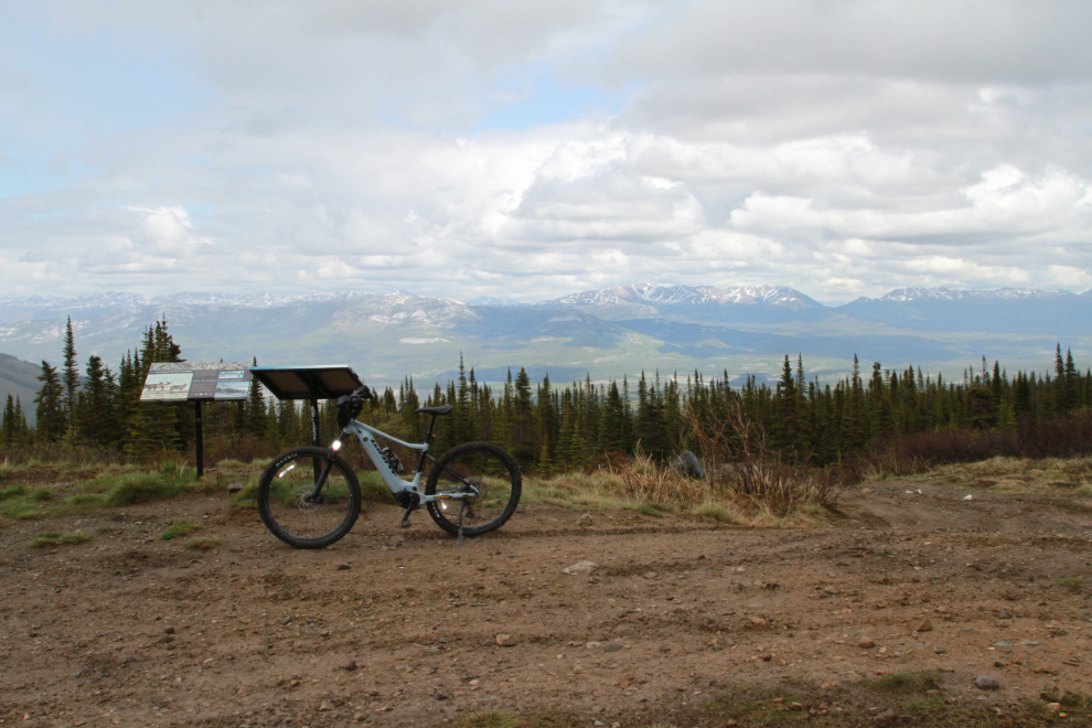
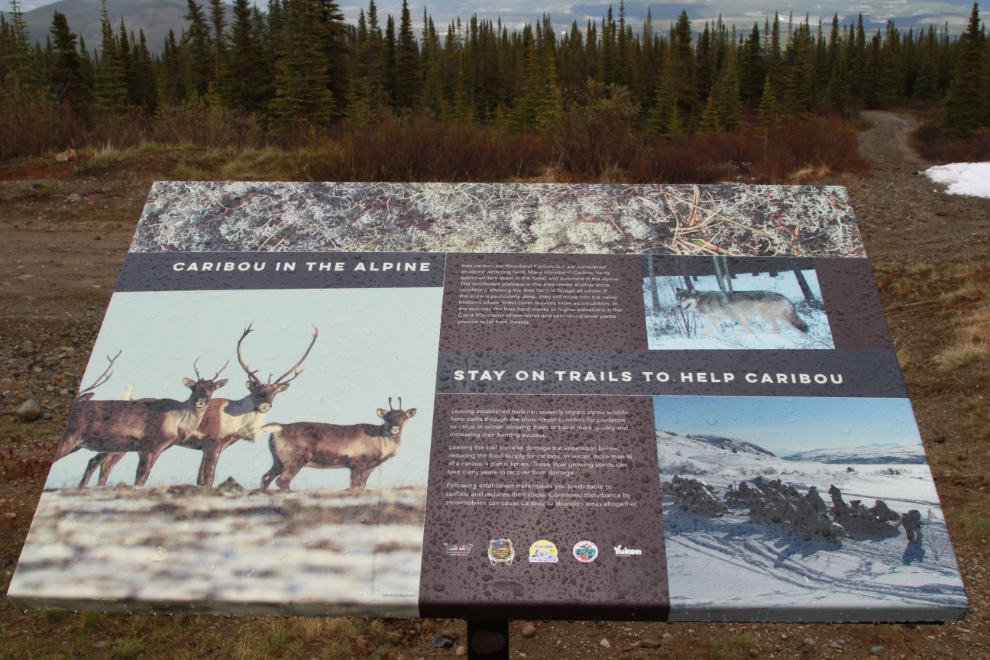
There are two interpretive signs about the caribou that live there. The Ibex herd of Woodland caribou winter up there in the alpine rather going into the valley as is the norm.
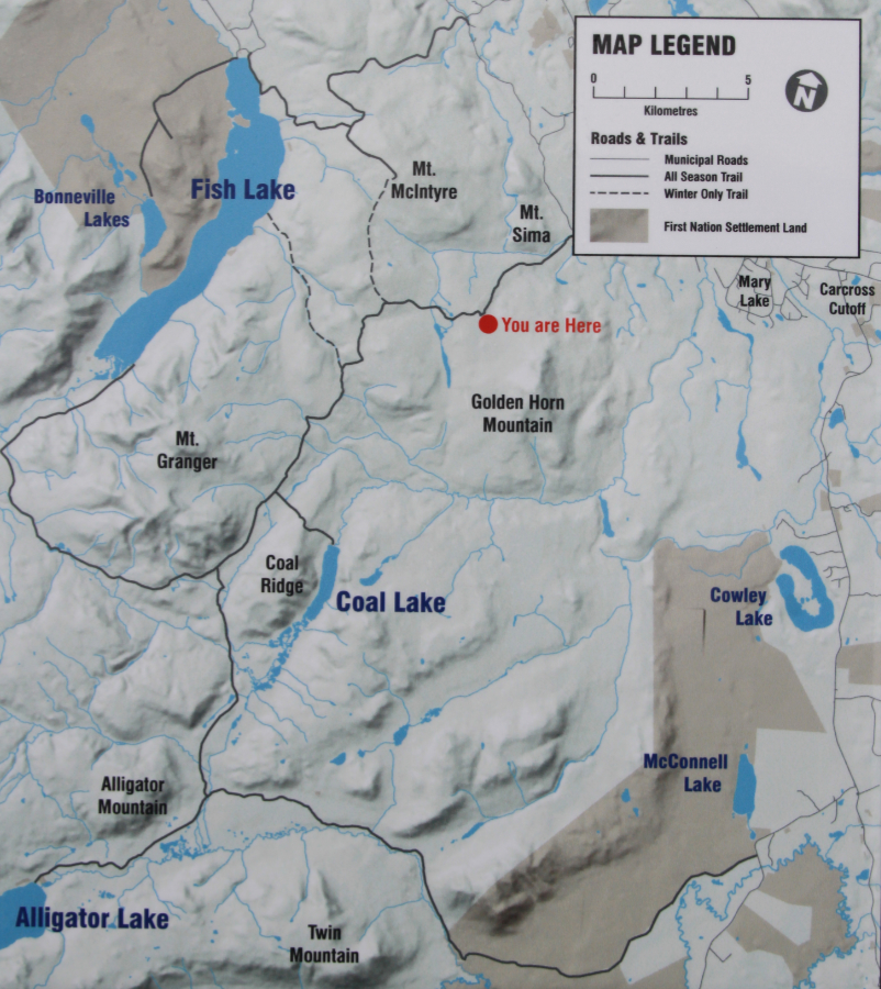
A map on one of the signs gives a good overview of the area.
With a increasingly-nasty storm moving in and my bike battery down to 40%, I started down right at 2:30. There was no need to turn the power on for the descent.
At 3:06 I was still slowly working my way down.
I reached the bottom of the trail at 3:24, so it took the same amount of time to come down as to climb up.
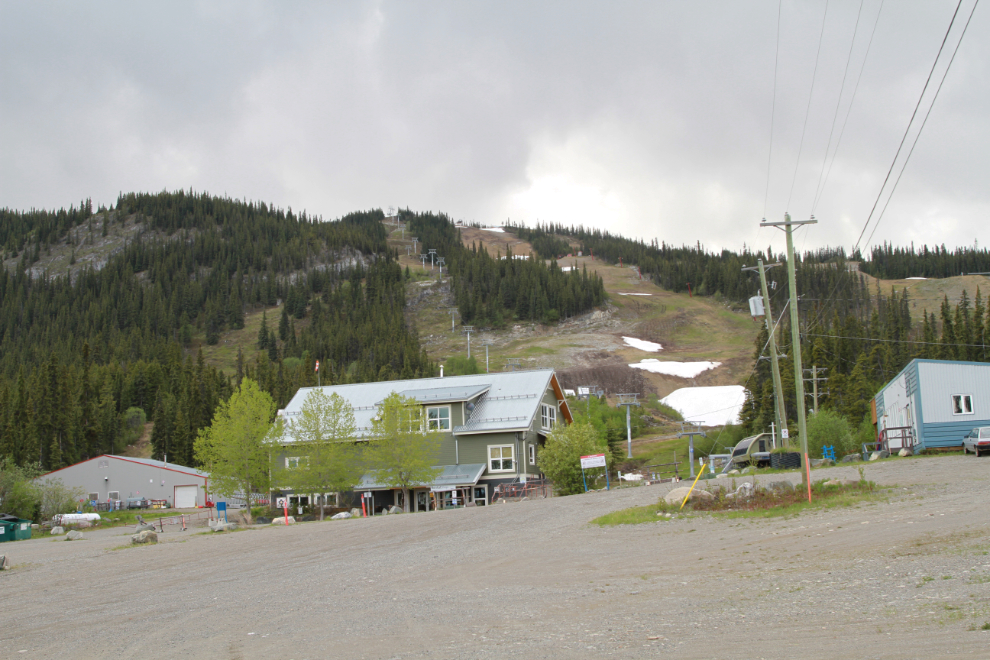
I decided to return home via regular roads. The final photos the Mt. Sima ski hill just a few hundreds meters from the bottom of the Coal lake trail.
That was an interesting ride, largely because it tested the limits of both me and the bike. I’m not likely to ride it again, though.