Biking through mud & flood on The Great Trail
Yesterday, I tried to get to the Cowley Lakes for the third time in a month, but after a lot of mud and water got stopped by a lengthy stretch of thigh-deep water on the trail. It ended up as a 34-km ride, on the WWII Canol pipeline road, The Great Trail (formerly the Trans-Canada trail), and then normal roads to get home.
I left home just before 11:00 am, and at 11:06 turned off the pavement at the Cadet Camp road, then left onto The Great Trail.
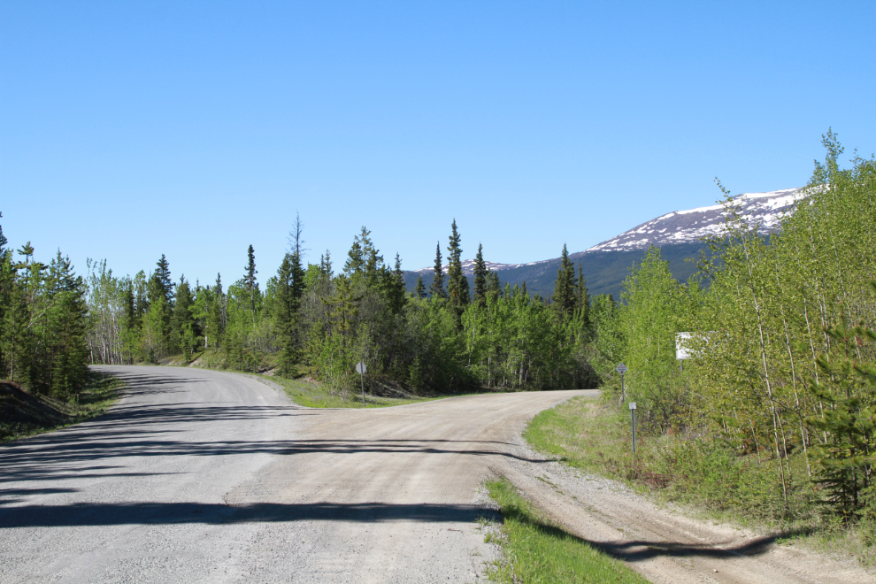
This section of The Great Trail starts on the access road into the Whitehorse copper belt mining area. It’s well used year-round for recreation now, with everything from dogsleds and skis to e-bikes and 4×4 trucks.
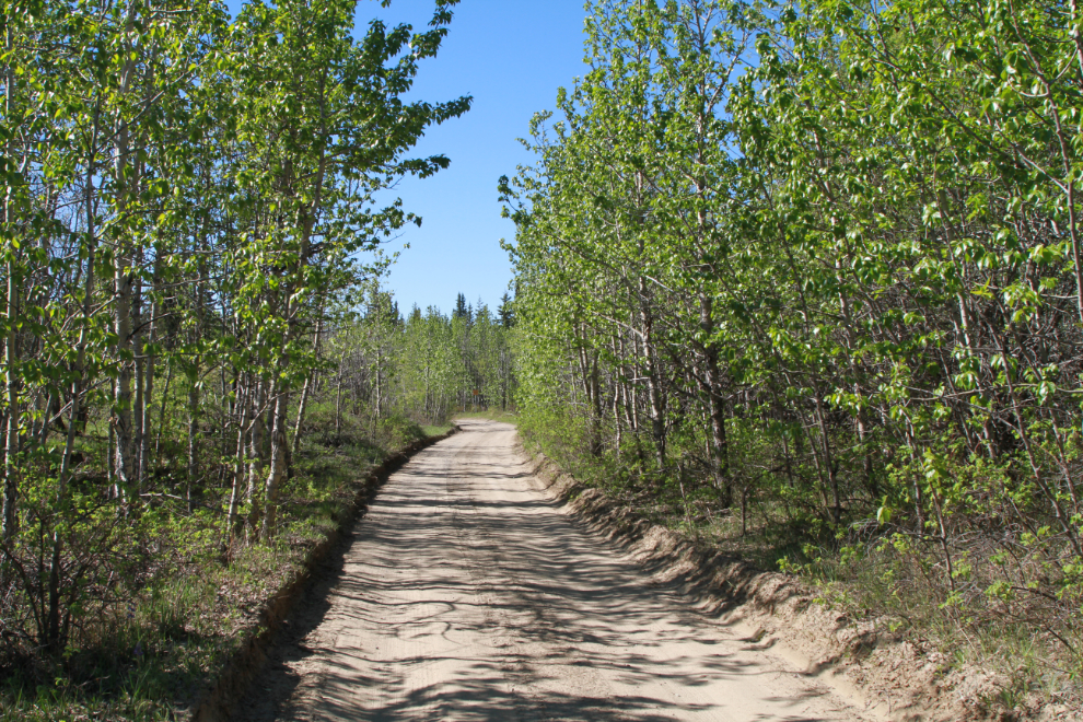
I soon turned off onto the pipeline road, much of which has the massive new firebreak running alongside. The road was much drier than the last time I was here a couple of weeks ago…
…and the remaining puddles are now easy to ride around.
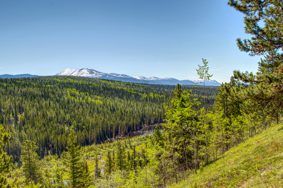
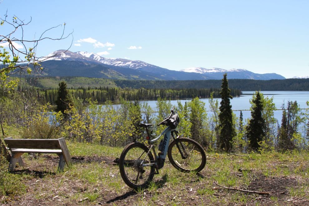
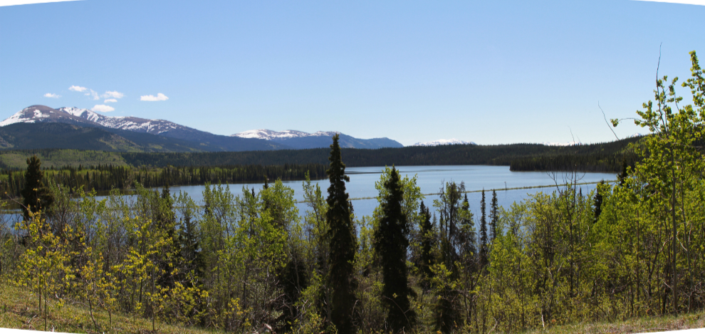
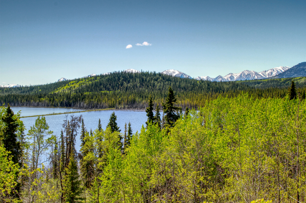
At 11:20 I stopped for a couple of photos at one of the few broad views along this route. The first looks north, with the south end of Mary Lake visible just to the left of centre.
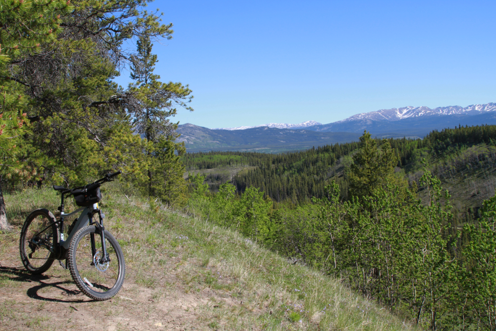
And south-east to Mount Lorne. The long-abandoned, heavily grown over WP&YR railway line is in the valley below, visible just this side of the pond. This photo was processed as an HDR image to bring out the mountain.
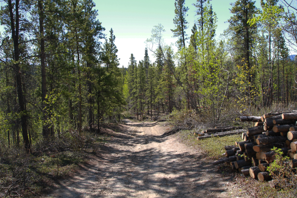
Just past that viewpoint, The Great Trail joins the pipeline road. There is still a great deal of firewood to be hauled away by the firebreak cutting contractors – there are a few signs saying it’s not to be taken by others.
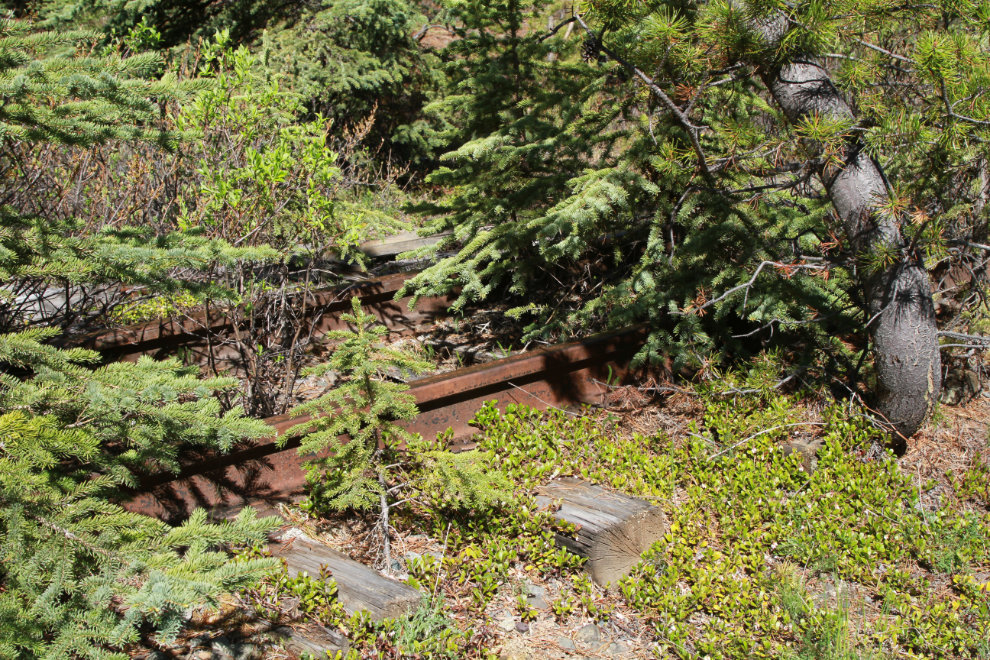
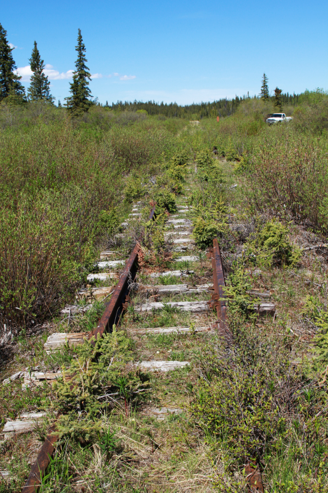
There are short side roads down to the rail line at 3 points. A few years ago the tracks could be walked here – not anymore.
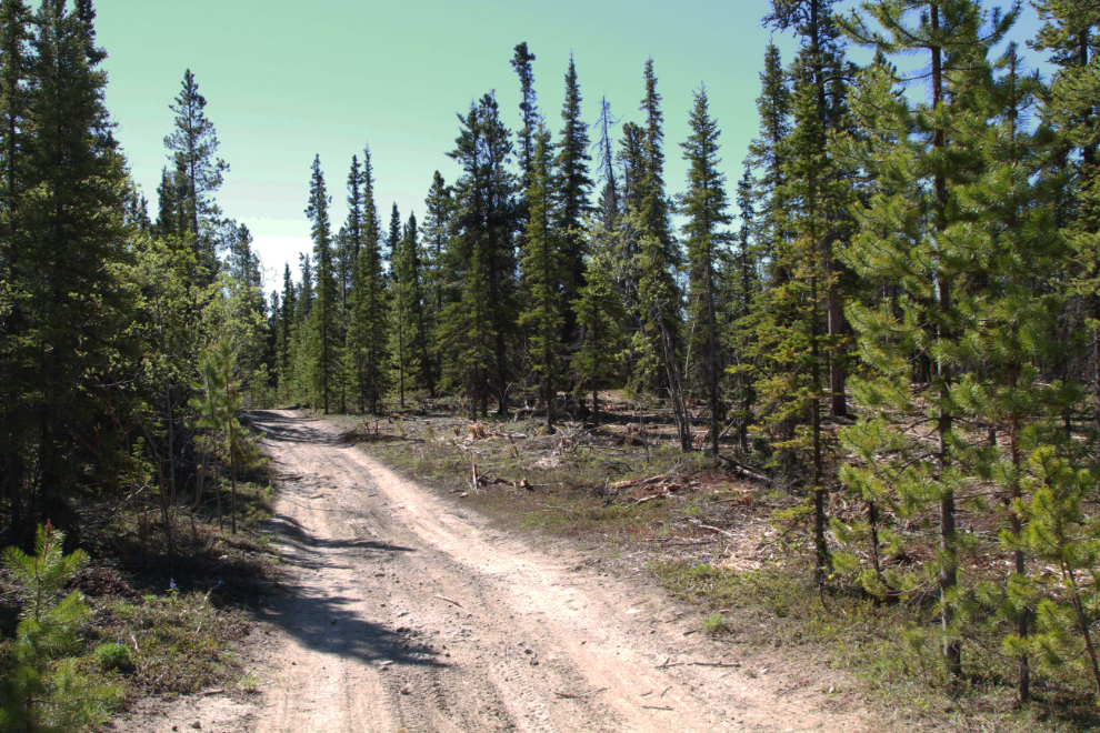
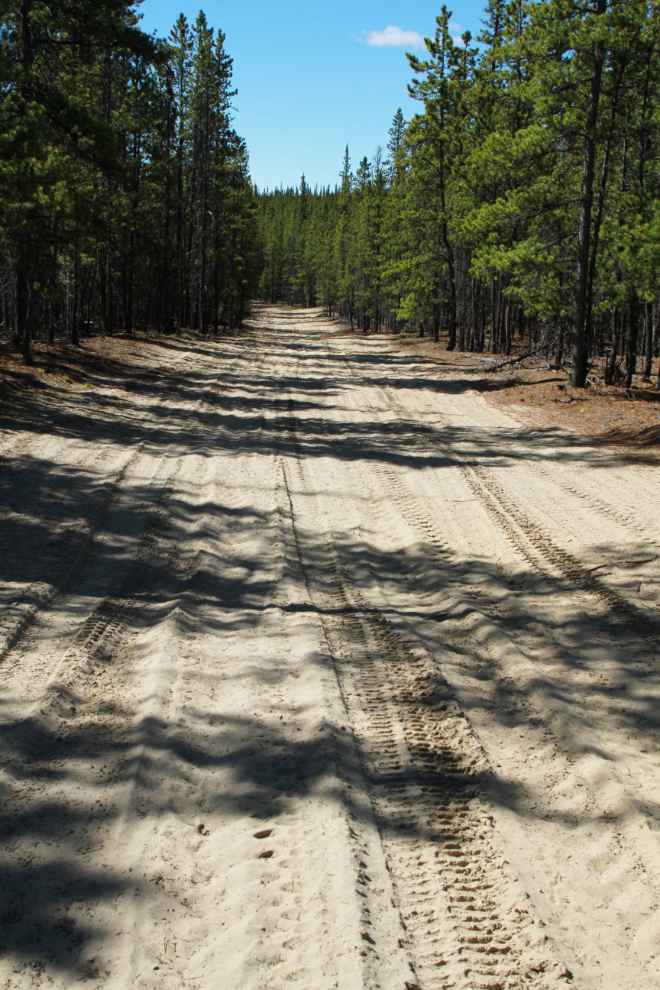
At 11:34 I reached a couple of hundred meters/yards of soft, fine sand. I haven’t figured out what caused this in this one small area. It’s a deposit from a post-glacial lake, but the topography has changed a lot for there to have been a lake here.
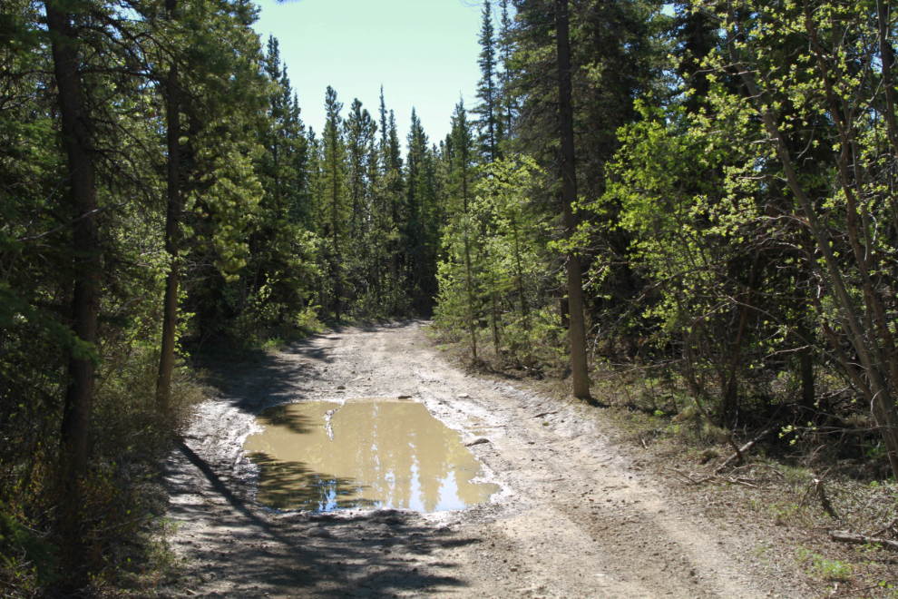
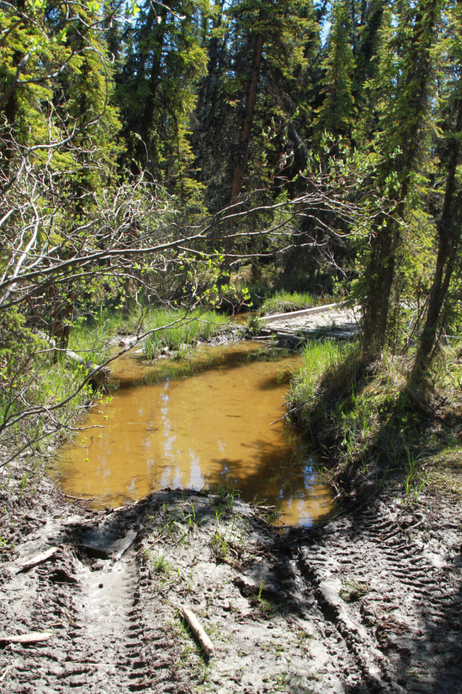
Ten minutes later, I reached the first lengthy stretch of mud. This didn’t bode well for what might be ahead.
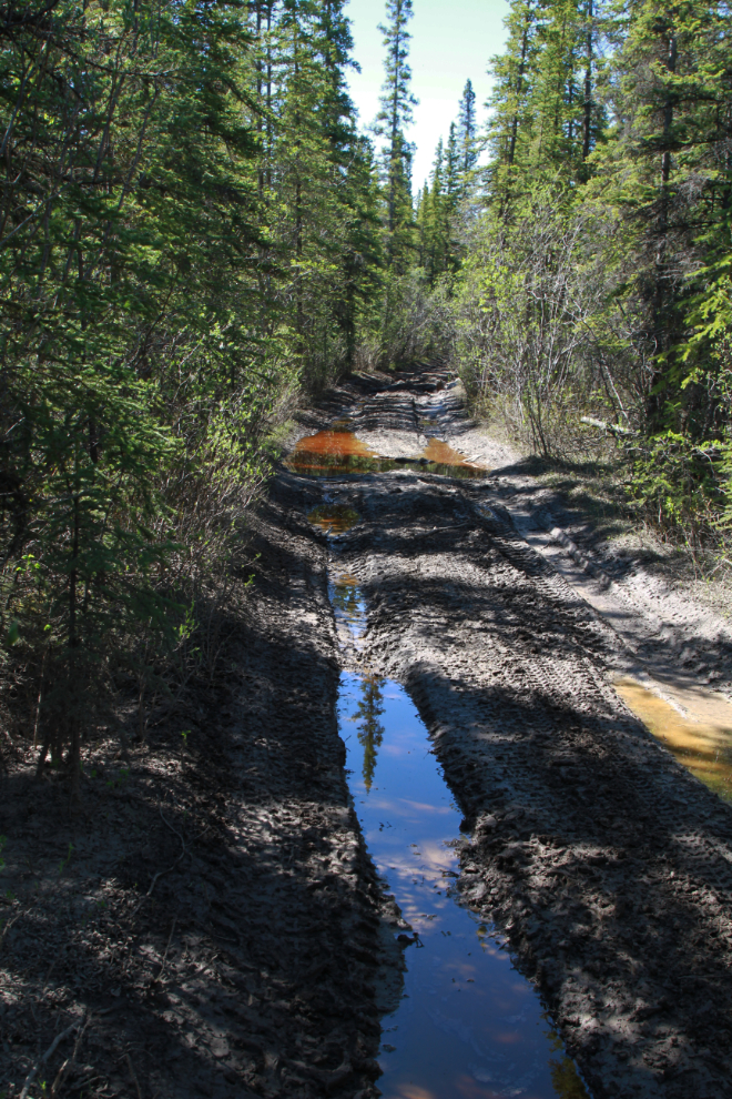
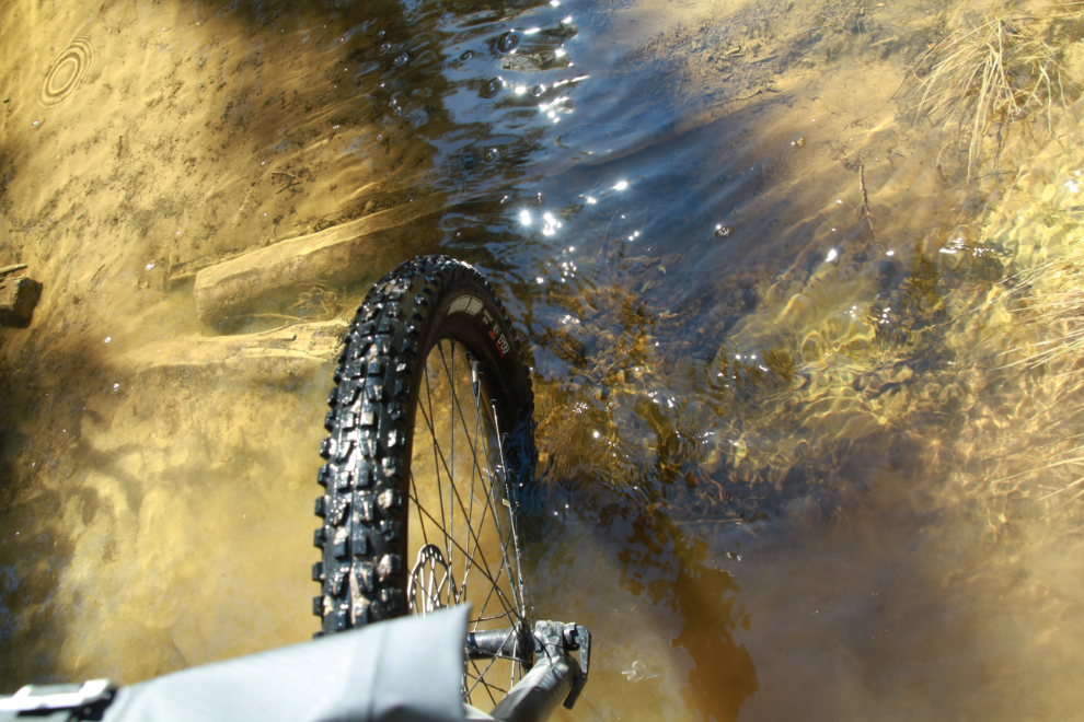
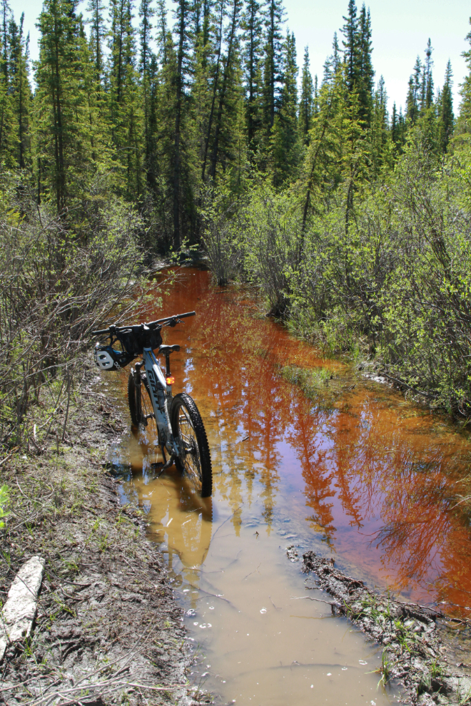
Some of the water was pretty deep, but I rode through most of it.
Looking back at what I’d just ridden through.
At 11:50 I reached the junction where the pipeline road and The Great Trail take separate routes again. On my two previous rides here I had taken the pipeline road to the left, to stay close to the rail line. A month ago I soon got stopped by deep snow, but three weeks ago I made it to the Cowley Lakes on that route, with a great deal of work. This time I took the right fork.
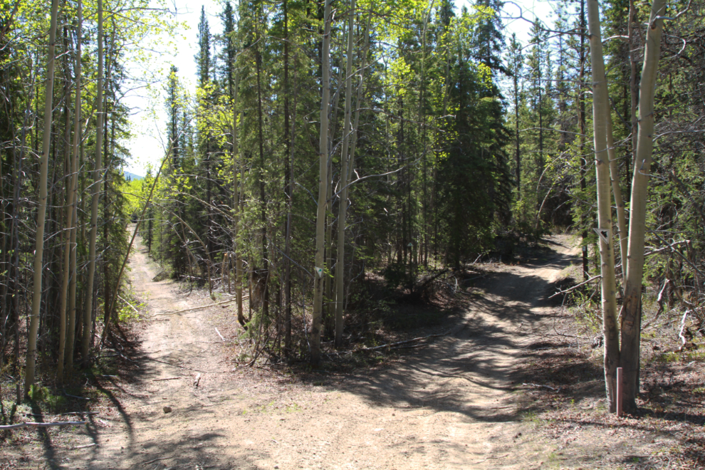
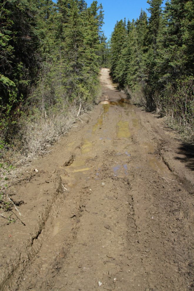
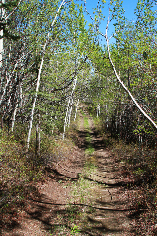
The riding was generally good on this route, until 12:05…
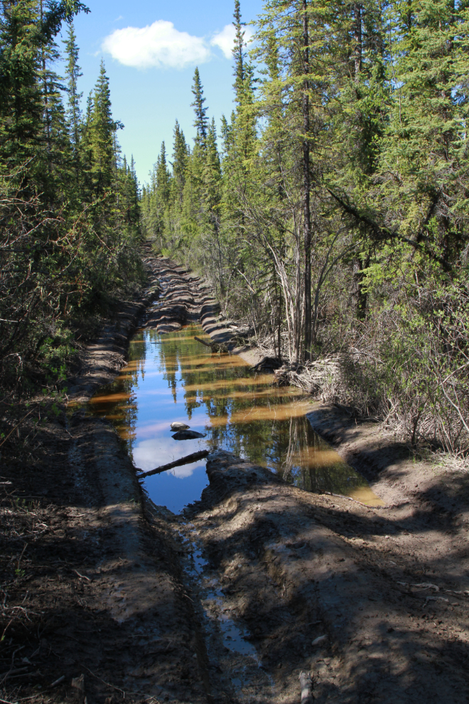
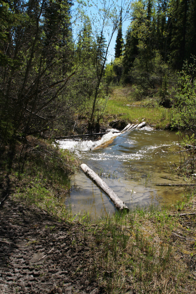
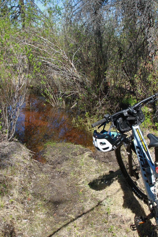
A couple of minutes later, I reached Dugdale Creek. I spent quite a while here looking for a way across the flood, and trying to decide whether I even should try to get across.
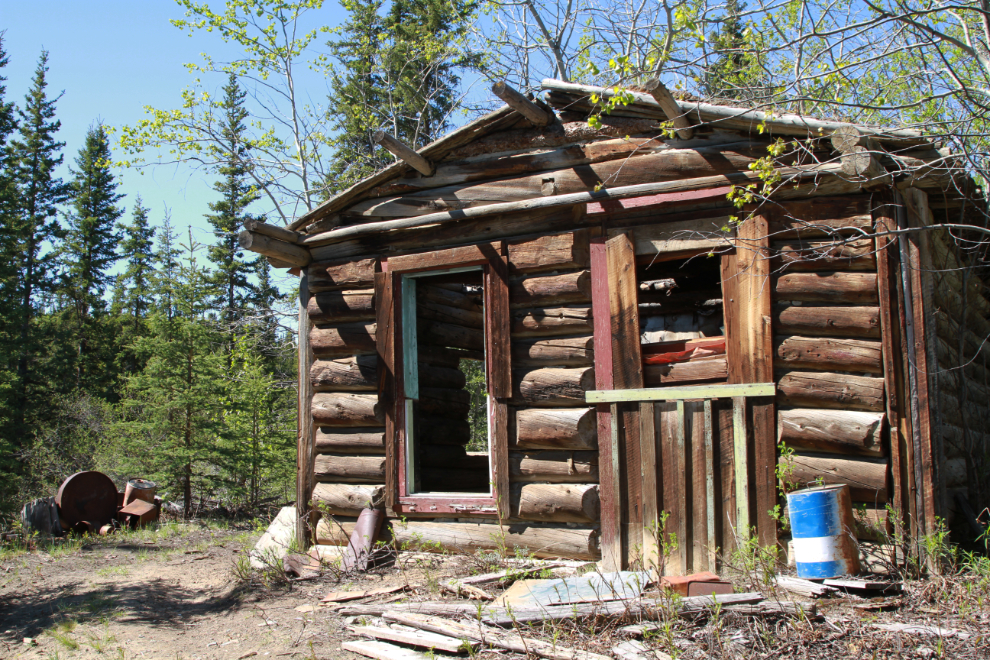
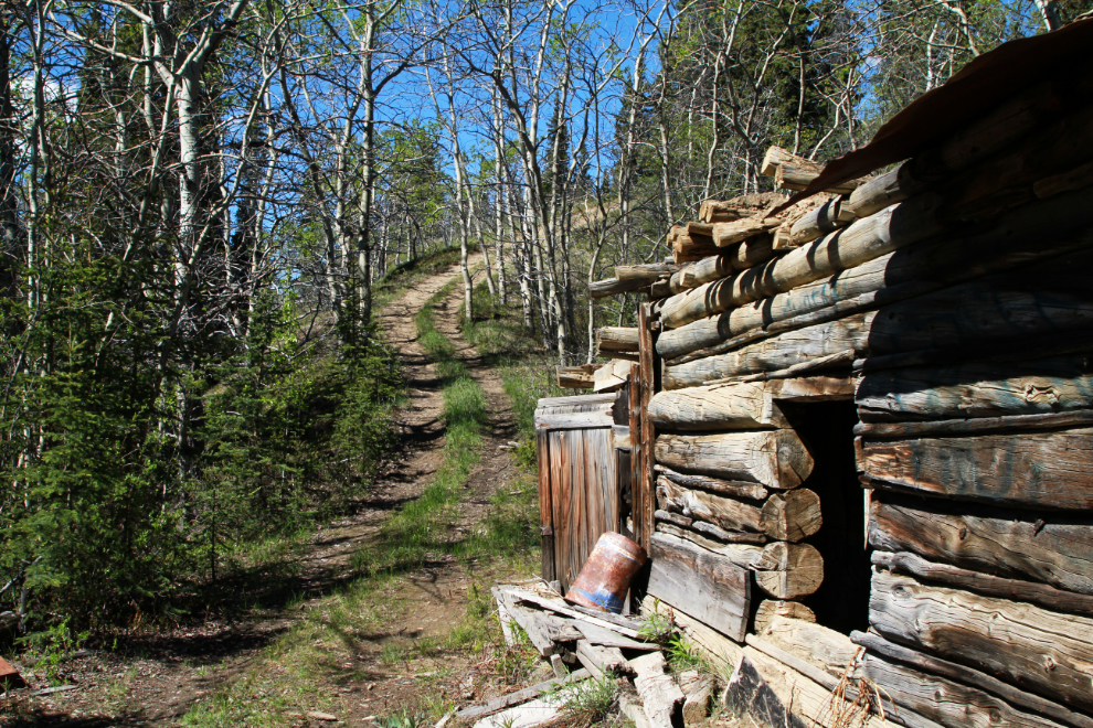
Above the trail at Dugdale Creek is this cabin in a particular photogenic location. I don’t know anything about it yet, but from the garbage it appears to have been in regular use into the 1940s, perhaps by a wood-cutter.
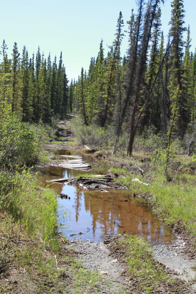
I did finally decide to find a way across Dugdale Creek, and despite deep water and mud, a fairly new ATV trail allowed to me to accomplish it.
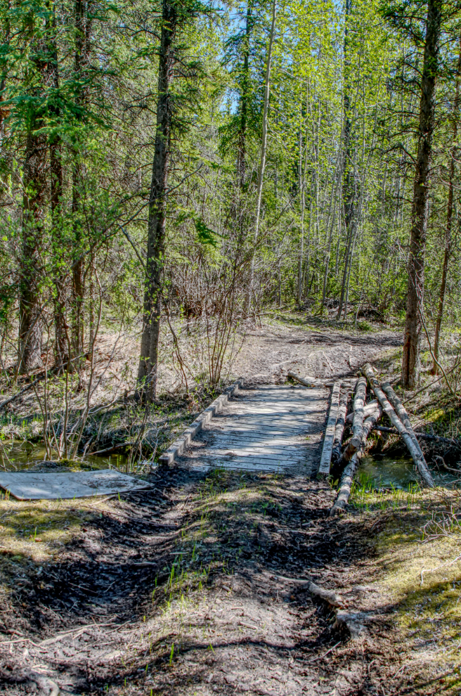
At 12:37 I reached Cowley Creek – this crossing was completely destroyed a few years ago…
…but a new trail and bridge were built around it.
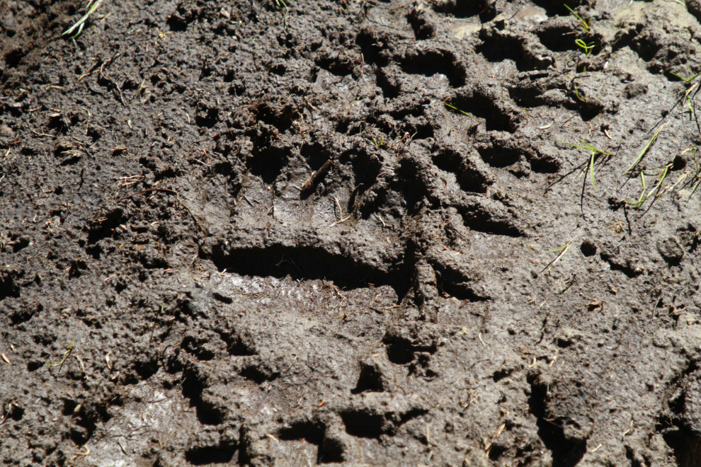
For a couple of kilometers, a large black bear had been walking down the trail in recent days.
At 12:45, above the north end of the Cowley Lakes, I was extremely surprised to find this gorgeous viewpoint with pretty much a 180-degree view. After the ever-increasing mud and water, spending a few minutes at this spot felt extremely good.
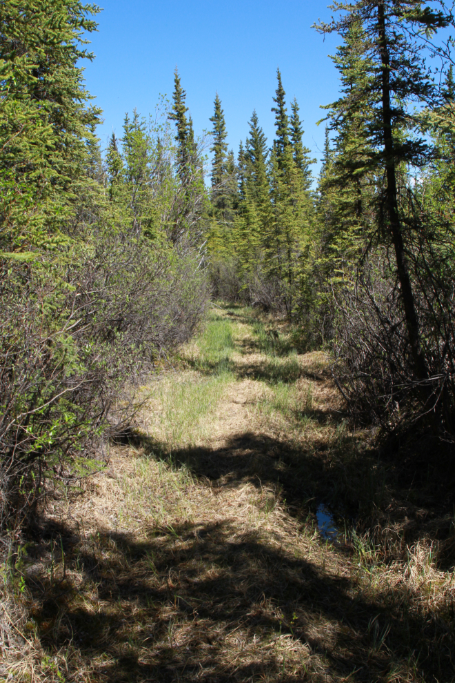
The riding for about a kilometer south of that viewpoint was the best of the entire day, but I was soon back at deep water and mud.
A couple of minutes after that last ugly crossing, I quit. Although I was only a few hundred meters from my planned destination, I saw no way to get through this water up to thigh-deep with an uneven bottom of mud. Oh well…
The next photo shows that section of beautiful riding I mentioned, as I headed north again.
A seldom-used trail that connects to the road at Cowley was the obvious way out, but from the last ride down here, I knew that water might be a problem.
Water was indeed a problem. After pondering this deep crossing for a while, I walked ahead to see if anything even worse was ahead, then carried the bike across.
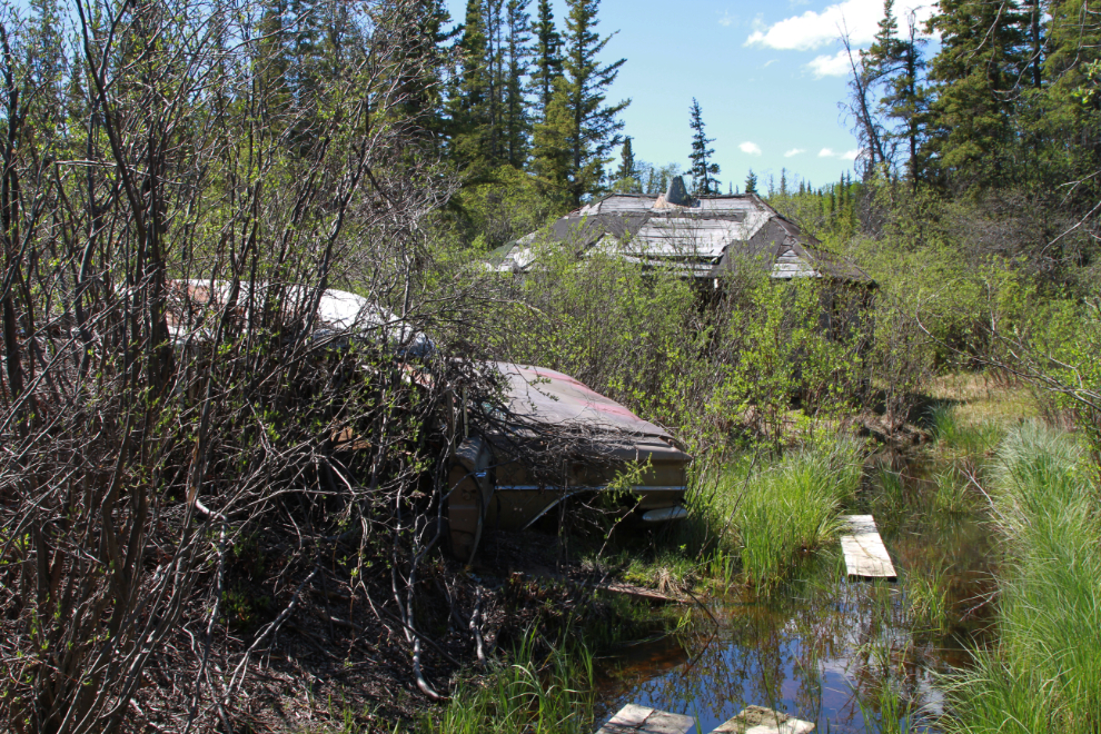
On another old road off this one, I found another log cabin, this one with a late-1950s Oldsmobile and Cadillac! I was pretty tired by this point (it was now 1:20), and didn’t look around much.
Phew – made it! This is looking north on the railway from the Cowley road.
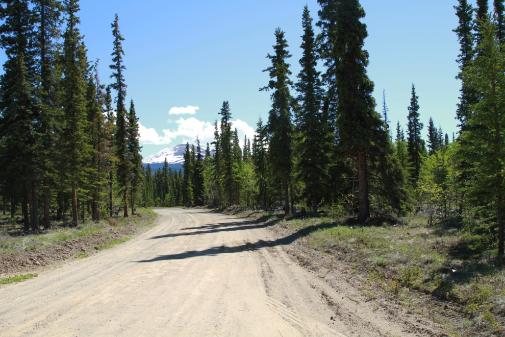
Riding east on Cowley Lake Road, at 1:30. The exciting part of the ride was over.
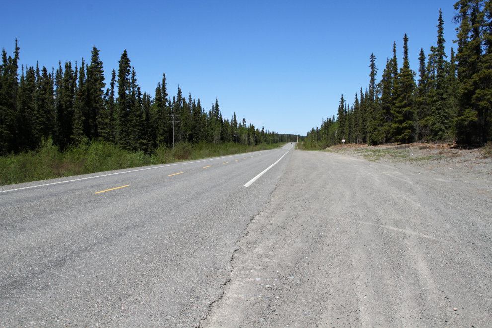
At 1:36 I reached the South Klondike Highway and it was all riding on the shoulder of the South Klondike and Alaska Highways from there to home, 13 km away.
Well, that was quite a day! I found some really great places I want to see more of (and more side trails, too), but it will be a few weeks until I do that route again. After two days of truly glorious weather, we’re back to clouds and wet, so my manic drive to be OUT THERE! has subsided 🙂
Hi Murray, I am glad to have discovered your blog. I gives me a chance to connect with the Yukon. Our son and his family live just north of Whitehorse, and we just talked to them today on face time. But is is also good to just see what the weather and other conditions are like in the area. We plan to travel north to see them later this summer. We are from Winnipeg.
Welcome, Gary. I hope you enjoy what I post, and that you have a great trip and family visit.