I really needed a Mountain Day
Life isn’t easy for most of us these days, and it had been a very long time since I spent time in the mountains with my dogs, Bella and Tucker. Yesterday, I borrowed Cathy’s Jeep for the kids’ comfort, and we went down to the White Pass. The weather forecast was okay, though not great, and there’s no weather in sight that encourages me to take the motorhome down for a multi-day stay. But though we had some rain, we also had lots of sun, and it was a really wonderful day, punctuated with lots of wildlife.
At 06:48, this was the view across my back yard to Golden Horn. Not great, but good enough to continue with the plan.

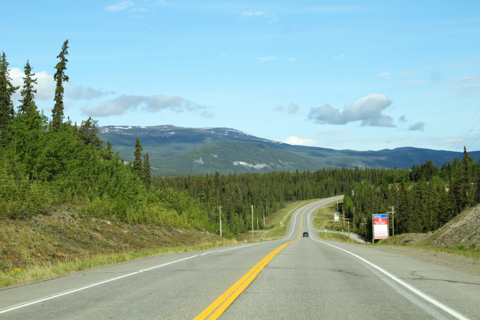
At 08:50 we were on the Alaska Highway, heading towards Whitehorse to fuel up. Now things were looking much better 🙂
The next photo stop was south of Carcross, at the avalanche gates at Km 98.3 of the South Klondike Highway. The electronic COVID-19 warning sign says “CAN/US BORDER CLOSED” – the next display reads “VITAL TRAFFIC ONLY”. Because of the way the Customs posts are located, though, it’s the US border that’s closed, and the 11.8 km of “no-man’s land” between the Canadian and American posts is still accessible. At this point I wasn’t 100% sure that was the case, but it turned out to be true.
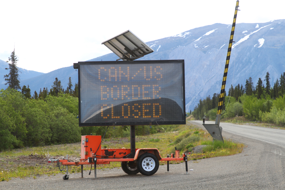
I read a Facebook post a while ago that said there were guards at the Yukon/BC border at Km 80.3, prohibiting entry to British Columbia – there aren’t.

Along Tutshi Lake, at Km 70.3. Normally I stop at a beach on Tutshi to let the kids play, but didn’t today.

Although most people call them dandelions, I don’t think they actually are. Whatever they are, big fields of them sure brighten up the roadsides.


The Parks Canada parking lot at Log Cabin (Km 43.9) is still closed due to the pandemic. I suppose it doesn’t really matter – there are no activities like hiking that start from here anyway.

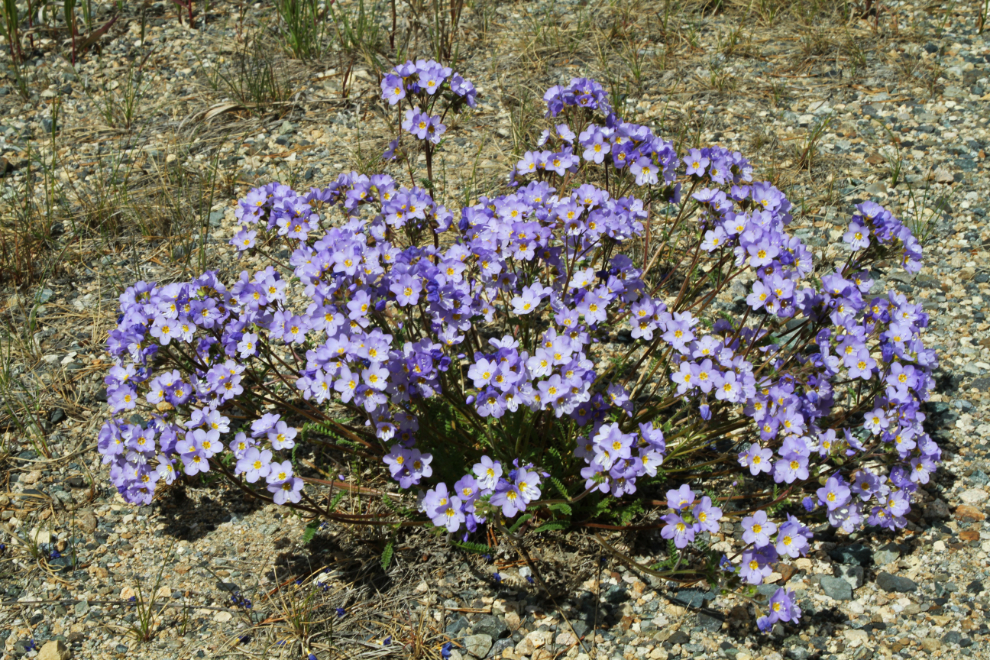
There was a particularly fine display of lupine at Log Cabin. I believe this is Lupinus arcticus, but I didn’t look close enough to see if it might be Lupinus kuschei.

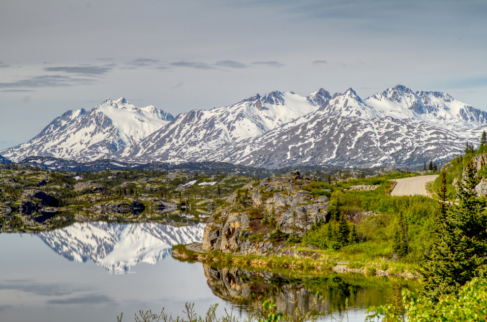
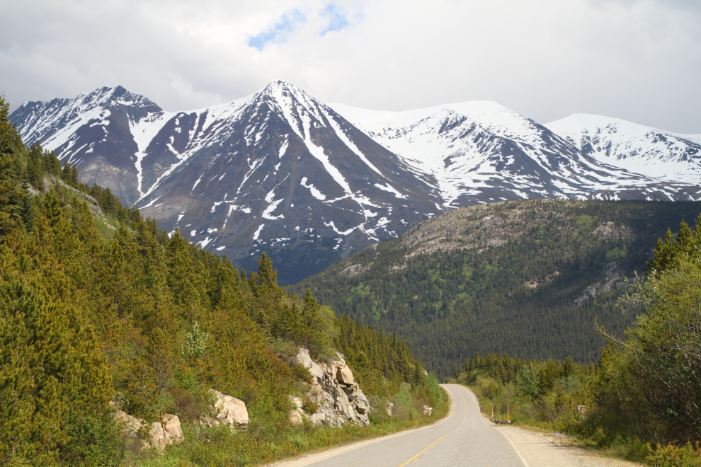
I have many photos shot from Km 40.3 – on a morning with reflections like this, how can a photographer not stop? See a much larger version here.
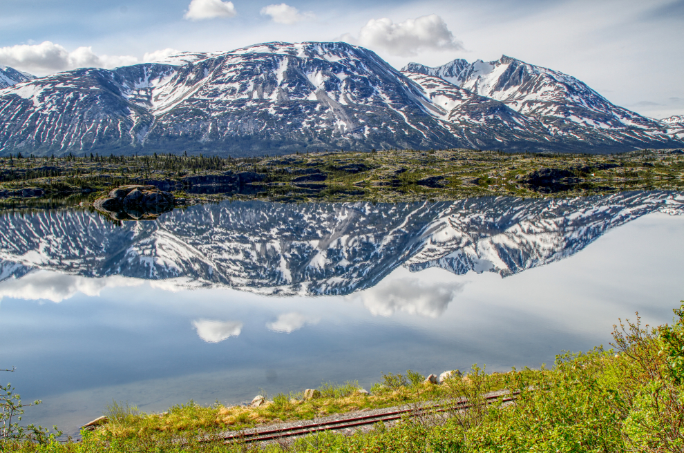
Turning a bit to the left at the same location, this was the view. That’s the White Pass & Yukon Route railway at the bottom – to see this from a train, you need to take their Carcross excursion, called the Bennett Scenic Journey.
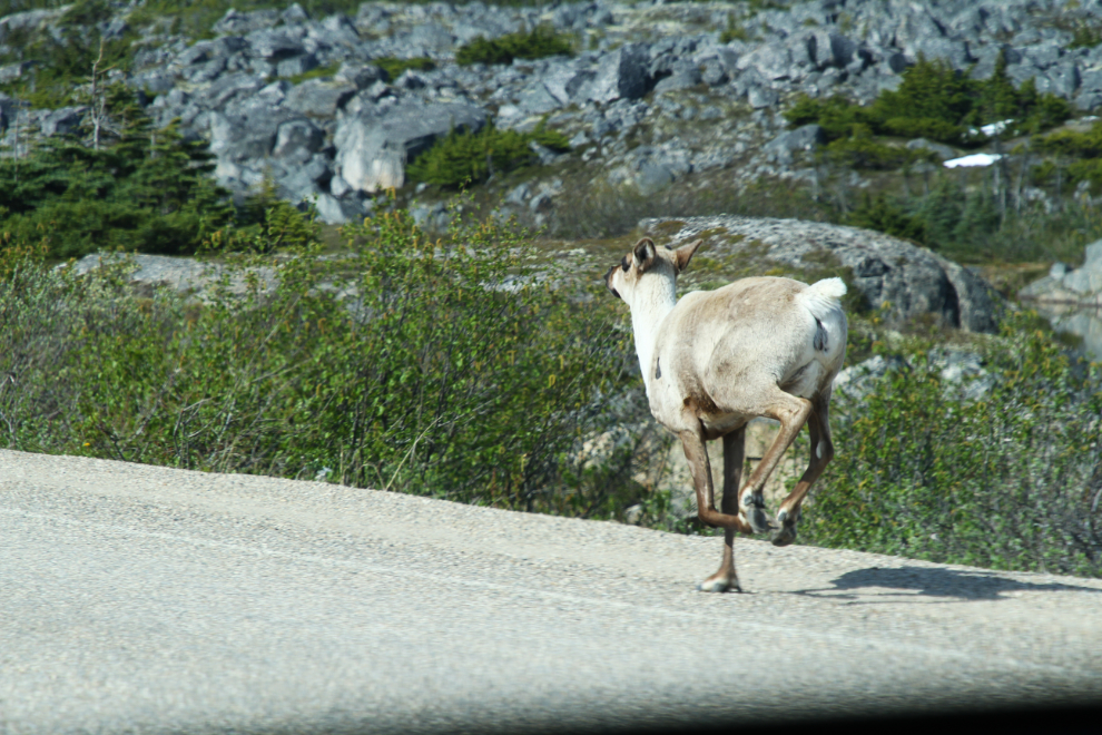
Nearing my planned stop at Summit Lake at 10:40, there was a caribou on the road! In 30 years driving that road, I’d never seen a caribou at the summit before.
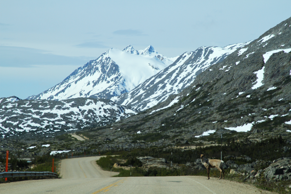
I pulled over to the left as far as I could to get by her, but she ran down the road instead of stepping off it. I felt really bad about making her run, but she had 100 miles of wilderness available, and semis are still running on this road so it might be a valuable lesson.
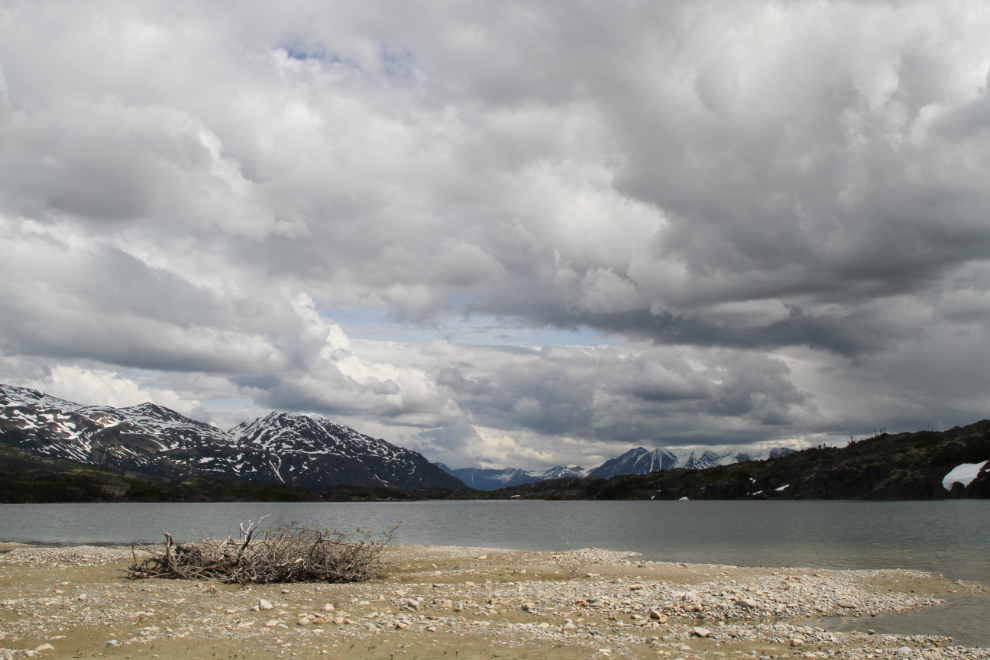
At 11:00, I packed up way too much stuff and started down the trail to the Summit Lake beach we like to play at. The world is a rather scary place for me now – my brain is messed up from my injury to the point that things like comprehension, decision-making, coordination, etc, are all affected. Last week I was so overwhelmed walking down Main Street in Whitehorse that I had to hold onto a lightpole and close my eyes until the chaos in my head subsided. If I lived in a big city, I have no idea how I could function.
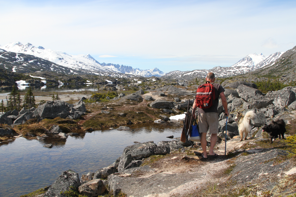
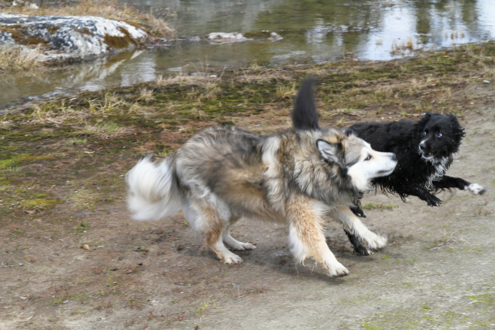
Even walking with a cane, it’s only a 10-minute walk down to the beach. Bella and Tucker were SO happy to be back on their beach! In this photo, Bella is exploring at the mouth of Summit Creek.
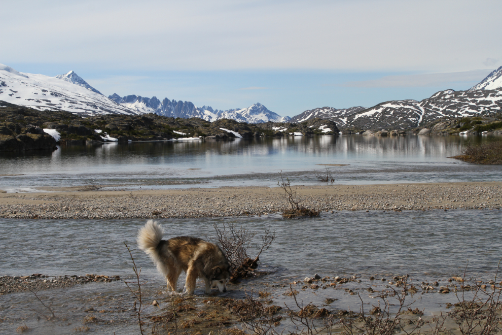
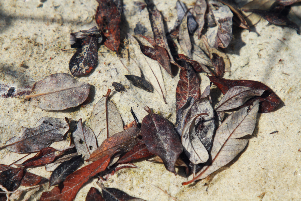
I mostly just sat in the chair I’d hauled down and enjoyed the sun. Clouds covered it occasionally, but not enough to be an issue in my enjoyment of the place. The broad views are spectacular, but sometimes the patterns in little puddles are interesting as well.
We got almost 2 great hours on the beach, but at 12:50 the building storm to the north was encroaching and I decided to pack up.
At 1:00 we were back to the rocky climb back to the car, and I knew it would give me trouble.

Departure time is always the cue for one more hard play! 🙂
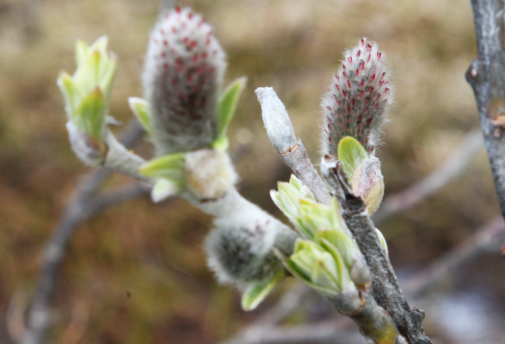
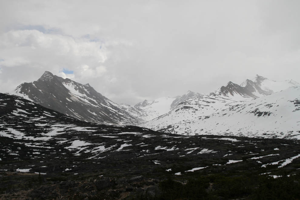
In the high country of the White Pass, Spring is just getting started – the carpet of wildflowers that happens is a few weeks away yet.
I had to stop 3 or 4 times to rest on the short walk to the Jeep, and it started to rain lightly just before we reached it. It was sunny to the south, though, so I decided to go down to the William Moore Bridge to see if everything was completed. The next photo is a distant view, right at 1:30.
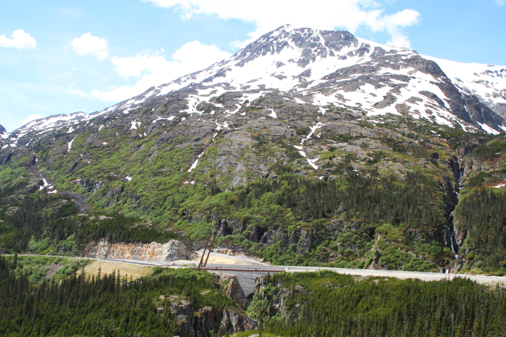
This is the best spot to get a good look at both the old bridge and the new one, which was just completed last fall. In August, I drove down to do a proper documentation of its almost-complete status, before crews arrived for the day and made that impossible. You can see the blog post that resulted (with a few of the dozens of photos I shot) here.

The new Captain William Henry Moore Wayside at the bridges is about 95% complete, and I’m very impressed. After initial plans to demolish it, the old bridge is now managed by the National Park Service as a historic site.
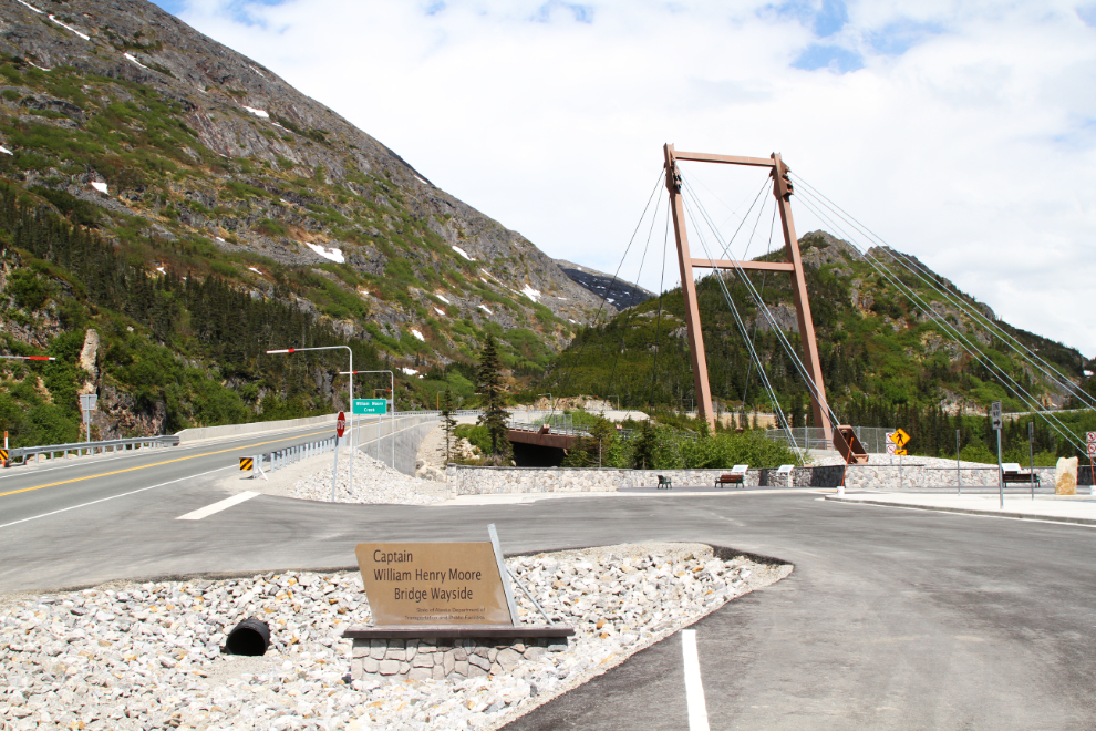
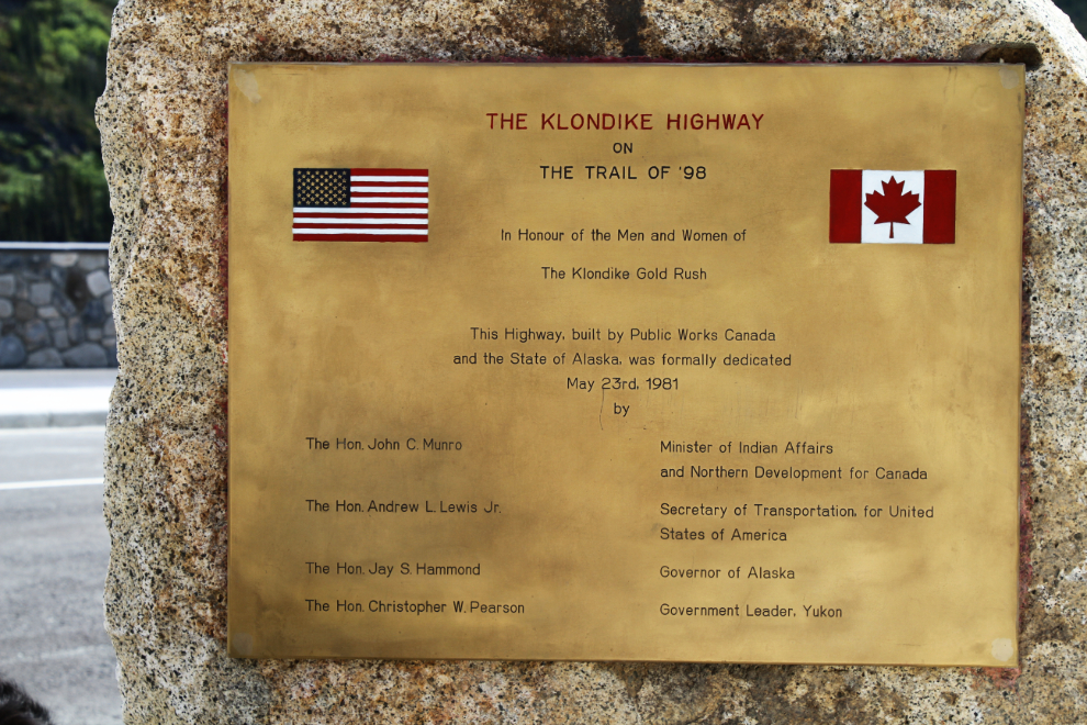
Last fall, I was really upset that somebody had stolen the plaque marking the opening of the South Klondike Highway from its rock at the summit. But I discovered that it’s been refurbished and is in place at the new wayside.
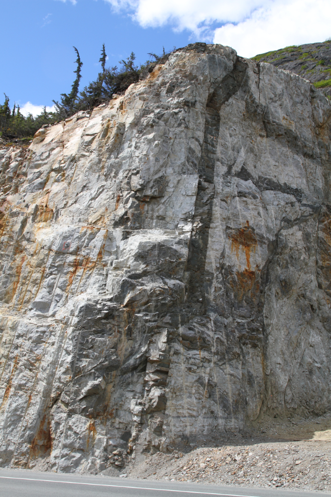
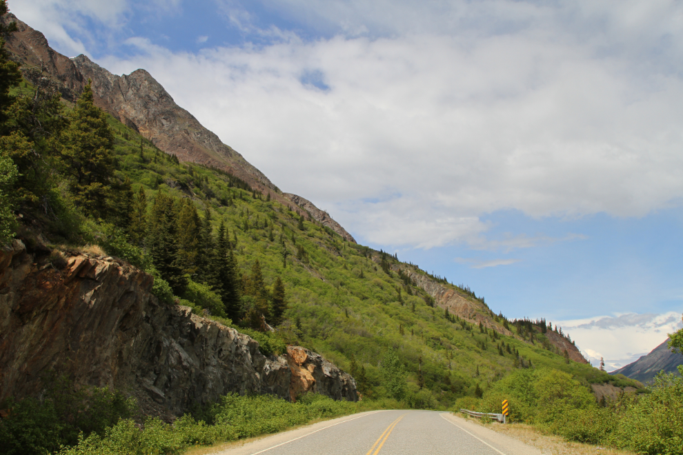
There was a lot of blasting required to clear an approach to the new bridge on the south side. It exposed a particularly impressive dike of darker rock in the granite. At 1:50, we started a slow drive towards home.
Back up just north of the summit, it was looking like Winter was making a bit of a return to the peaks to the east.
When I spotted a fairly level patch of snow, I stopped to give the kids another play. Snow is always fun to play in, but especially in June 🙂

The official part of passing back through the Customs post was quick and simple – the pleasant chat with the officer took much longer 🙂
At 2:20 I pulled into large pullout, with two little waterfalls across the road. I couldn’t continue without having a nap, and the music of the waterfalls, uninterrupted by traffic, was perfect for that. I slept for about 45 minutes and then was ready to get back on the road.

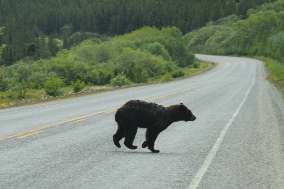
At 3:20, I made a U-turn to go back to see a particularly handsome young black bear just north of the Yukon Suspension Bridge. I couldn’t get Tucker to stop screaming, though, so that planned visit didn’t work out.
A mile further north, another U-turn got me to a spot where I sometimes walk to a particularly scenic stretch of the Tutshi River (pronounced Too-shy), at Km 49.4 of the highway. It was a short stop so the kids stayed in the Jeep.

The next view of the road ahead was shot right at the Km 52 milepost.
Yet another U-turn to get some photos of this very luxurious patch of flowers on the shoulder of the highway.
Km 57 – you see why I never get tired of this drive 🙂
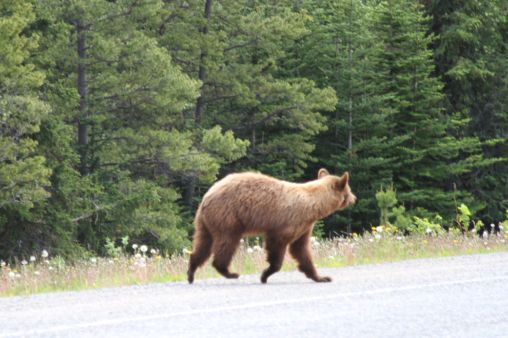
At 3:50, we met two 2-year-old sibling bears who I’ve been watching since they were babies. One is the usual black, the other is called a cinnamon bear. Tucker was very impressed! I’m not sure whether he’s forgotten his wildlife viewing manners, though, or whether he’s realized he’s a Bear Dog and his role in the world is to scare bears away (he’s very good at it – OMG what a scream he has!). Okay, no more bear stops when Tucker is along 🙁
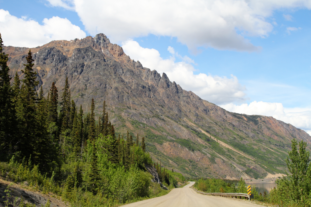
At Km 77.9, Dail Peak dominates the world ahead. The BC/Yukon border angles across just this side of the peak.
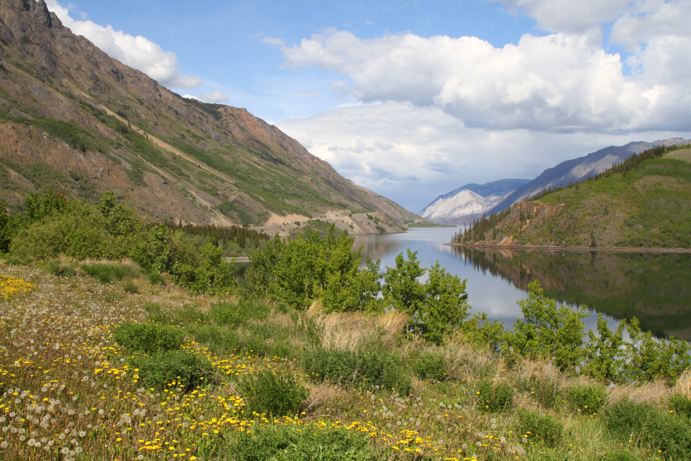
Looking to the right at Km 79, down Windy Arm of Tagish Lake.
I think there are 13 mountain goats up near the head of Pooley Canyon in this photo. Shimmering heat waves made good shots impossible at that distance (400mm). It was now 4:10.

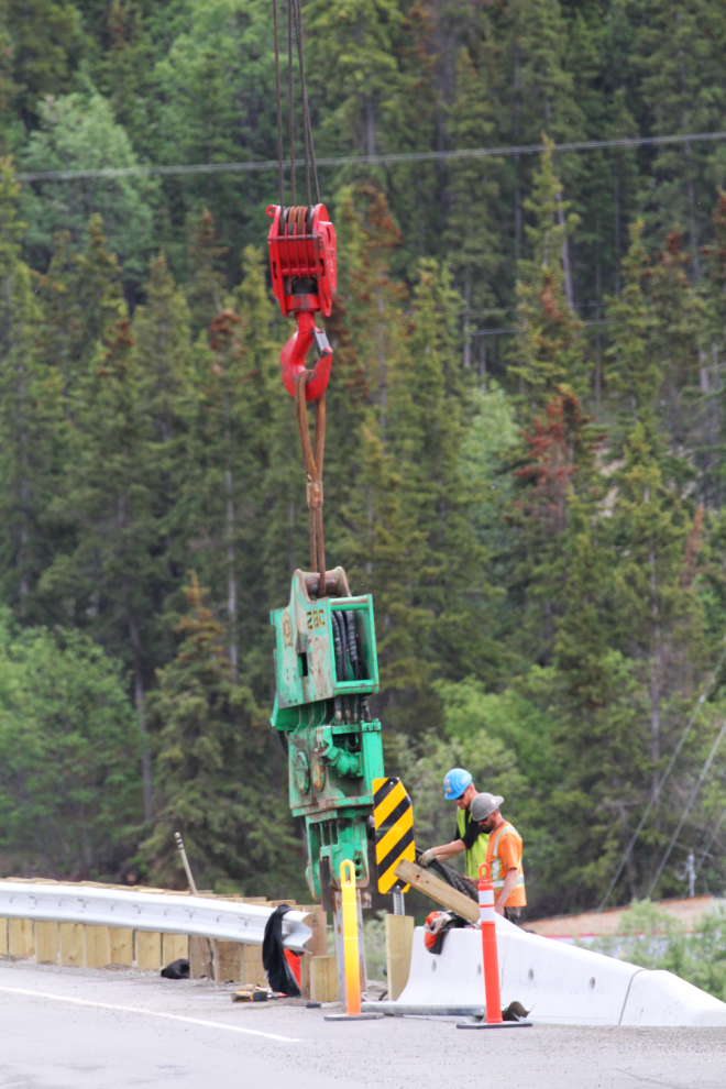
I pulled over at Carcross to send Cathy a text that we were safe and almost home. Looking back, a couple of fellows were still at work doing some final touches on the new Nares River bridge there.
The day couldn’t have gone much better. It’ll serve as an incentive to get the motorhome ready for a trip back down there.