A spectacular drive to Skagway and Dyea
On April 11th, I drove to Skagway and Dyea with Bella and Tucker for the first time since January 5, 2020. Covid, of course, made drives to Skagway impossible for much of that 3 years. Although I was in Skagway last October, Cathy did most of the driving. I love that drive, and this trip felt like re-connecting with a dear friend.
I had been watching for a good weather report for many weeks, and things finally came together, with sunshine forecast for the entire route, and a high of 8°C/46°F in Skagway. We’re gaining daylight at a rate of 5½ minutes each day now, and that glorious change after a long winter is often mentioned by people when talking about Spring. The sun came up on the 11th at 06:53 and set at 21:10.
It took a long time to decide whether or not to take the dogs. In the end, I thought about being on the beach at Dyea without them, and it was clear they had to come. So I took Cathy’s Jeep to give them the most room to spread out.
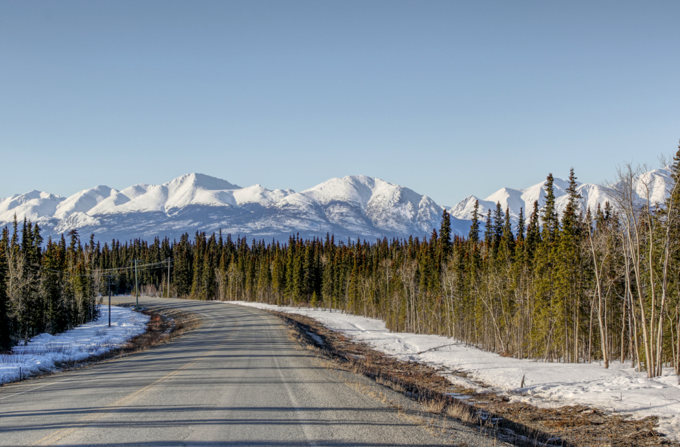
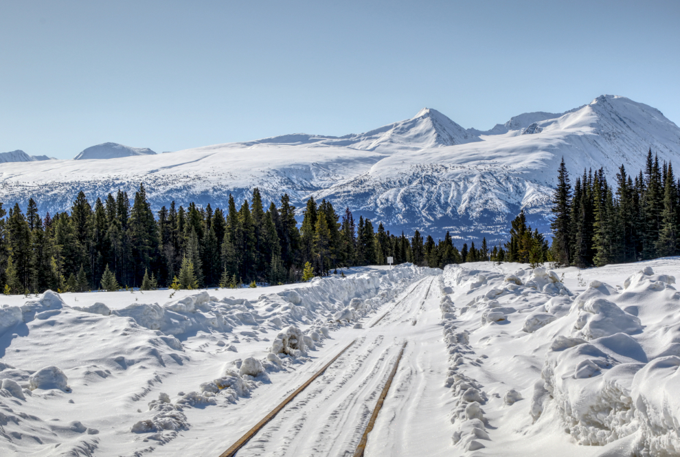
I got away at about 09:20. My first photo stop was at Km 145.5 of the South Klondike Highway, about 15 minutes from home. To get maximum definition in photos with extremes of light (snow) and dark (trees), I processed most of today’s photos as HDR images.
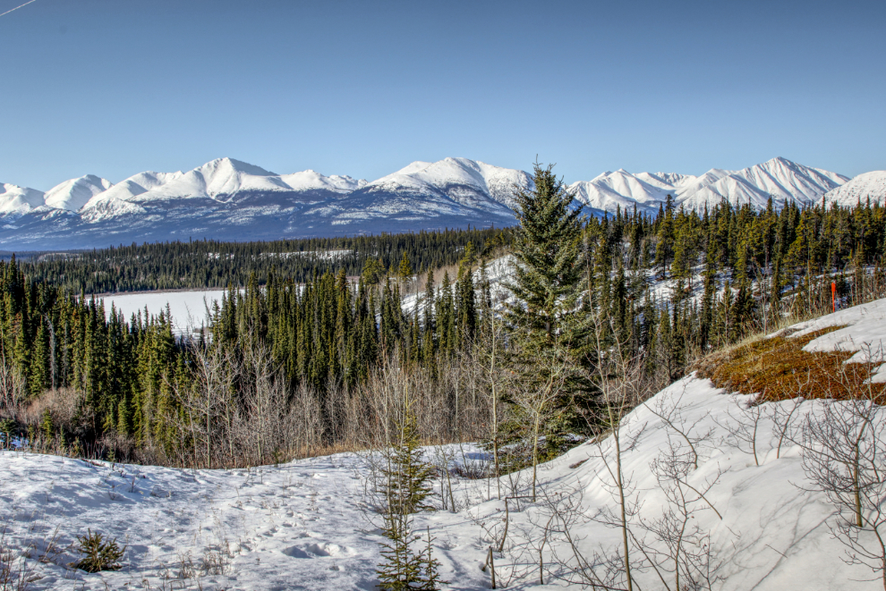
Rat Lake, just 8 km further south, is a common photo-stop for me. The name came from the fact that it used to be a popular place for trapping muskrats.
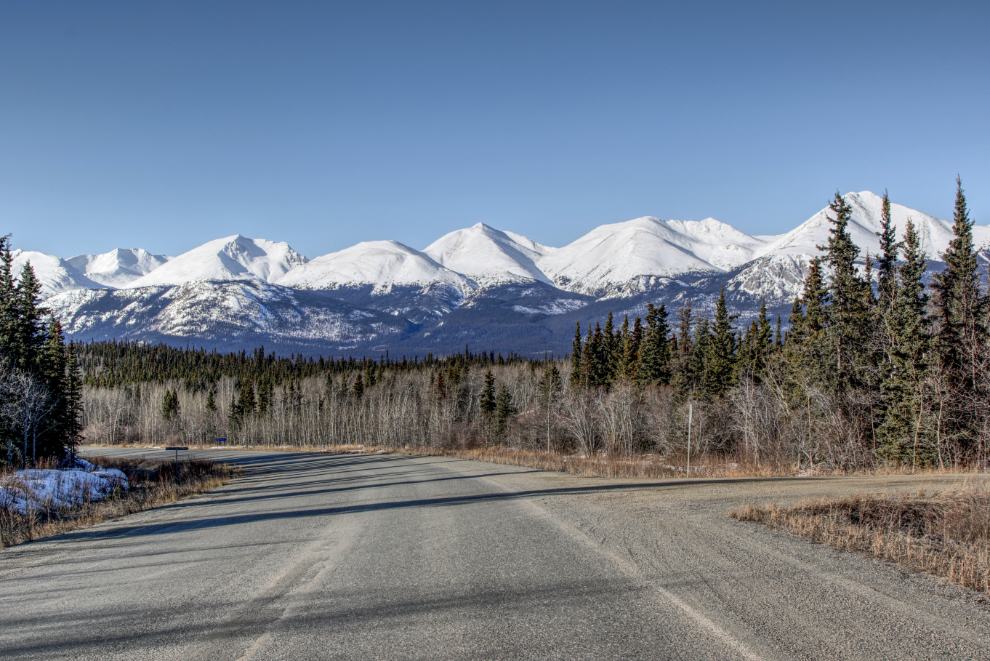
At Km 128.6 the Lewes Lake Road leads off to the west.
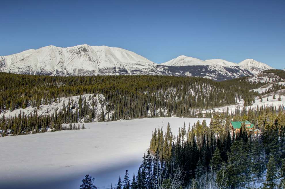
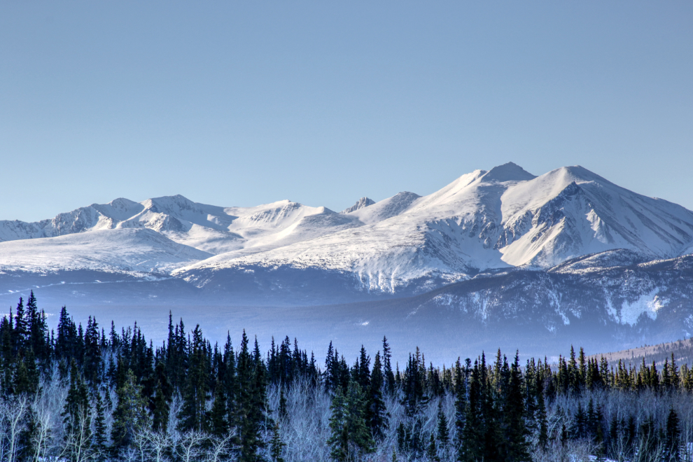
I reached Emerald Lake, “the most-photographed lake in the Yukon,” a couple of minutes before 10:00.
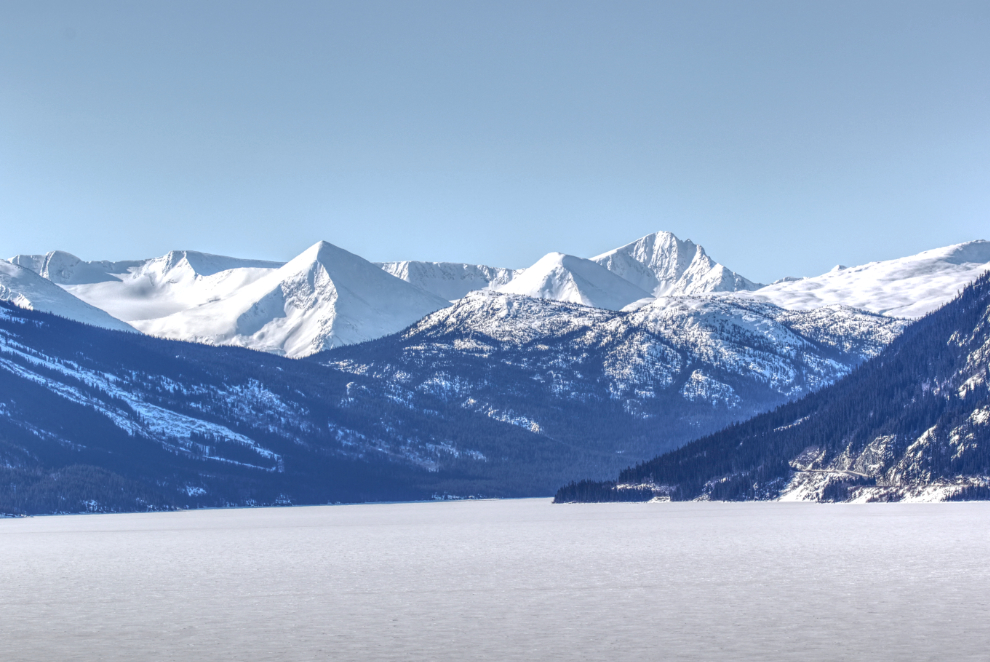
From the Emerald Lake viewing area, Montana Mountain and Brute Mountain can be seen to the south. The main summit of the Montana Mountain complex, on the left, is 2,205m/7,234ft high, while Brute Mountain tops out at 2,069m/6,788ft. The silver mines on Montana Mountain were the subject of my first book, now out of print for many years.
Looking up Windy Arm of Tagish Lake, with the mill of the historic Venus silver mine on the shore.
A closer look at the Venus mill. Four kilometers ahead, you cross from the Yukon into British Columbia.
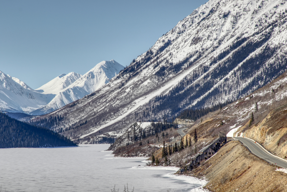
The view ahead at Km 75.6, on the hill between Windy Arm and Tutshi Lake. That mountain ahead really needs a name, but doesn’t have one. Access isn’t easy, and nobody seems to hike it – or if they do it’s so awesome they keep it a secret 🙂
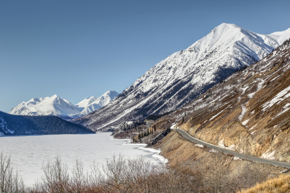
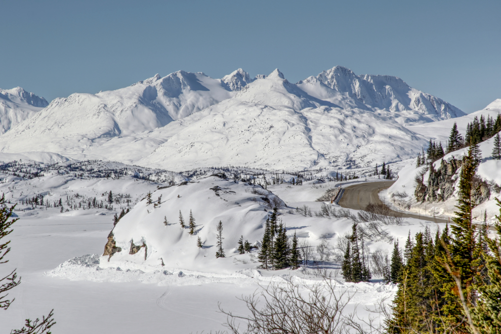
Looking up Tutshi Lake from the large viewing area at Km 69.8.
The view south right at the Km 68 milepost.
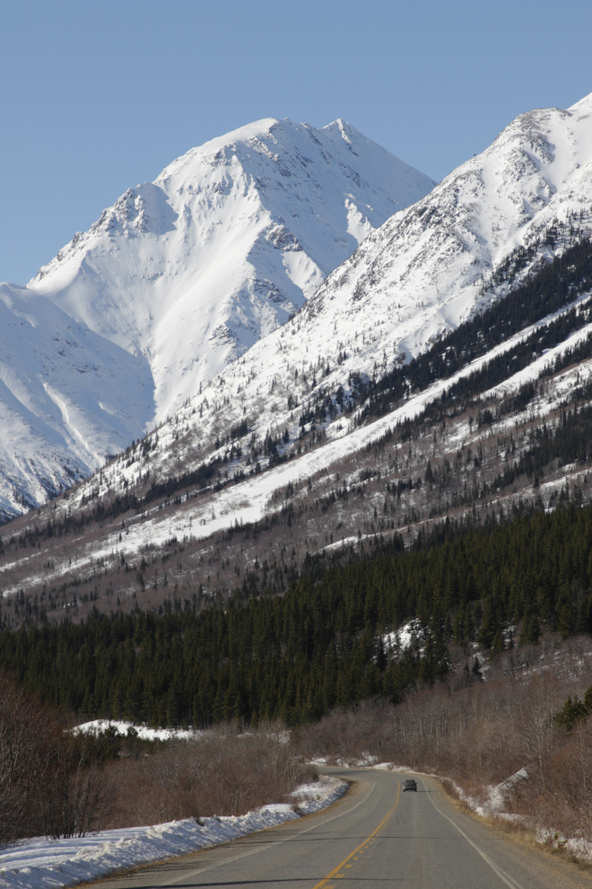
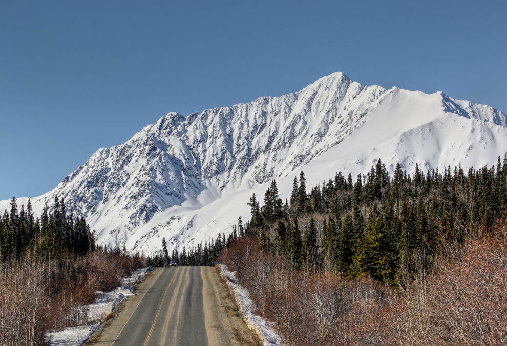
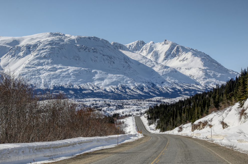
The first of the peaks that enclose the White Pass, from about Km 50, just north of the Yukon Suspension Bridge.
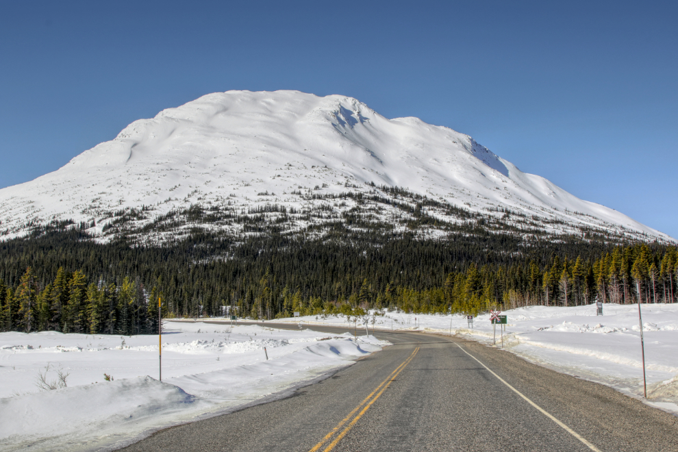
Mt. Halcyon overlooks the site of the Klondike gold rush community of Log Cabin, at Km 43.9.
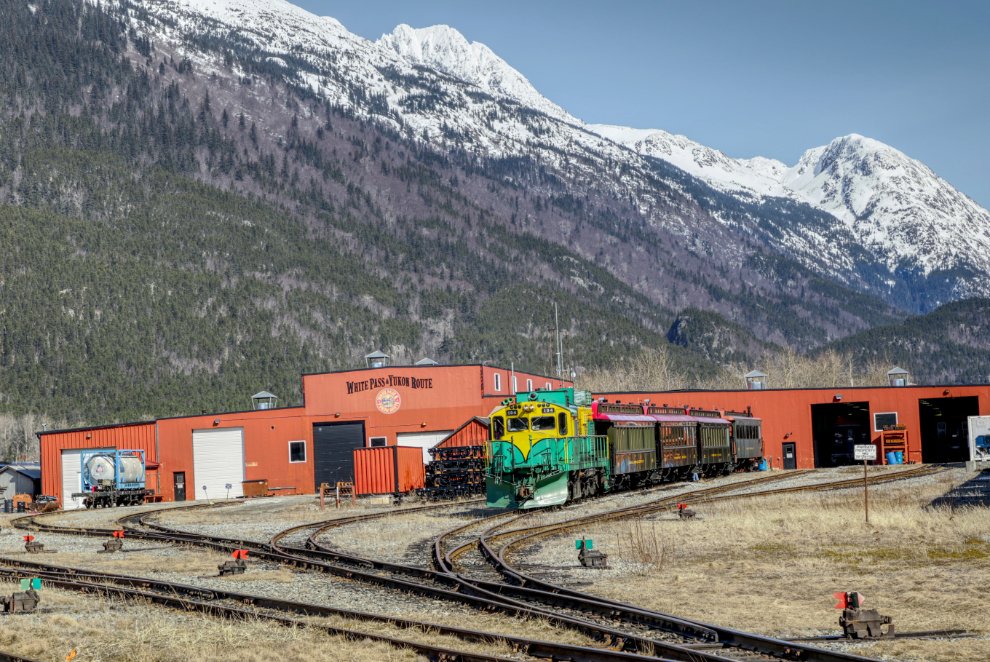
I was surprised to see the White Pass & Yukon Route railway line plowed at Log Cabin, not realizing yet that the first cruise ship arrives in 6 days.
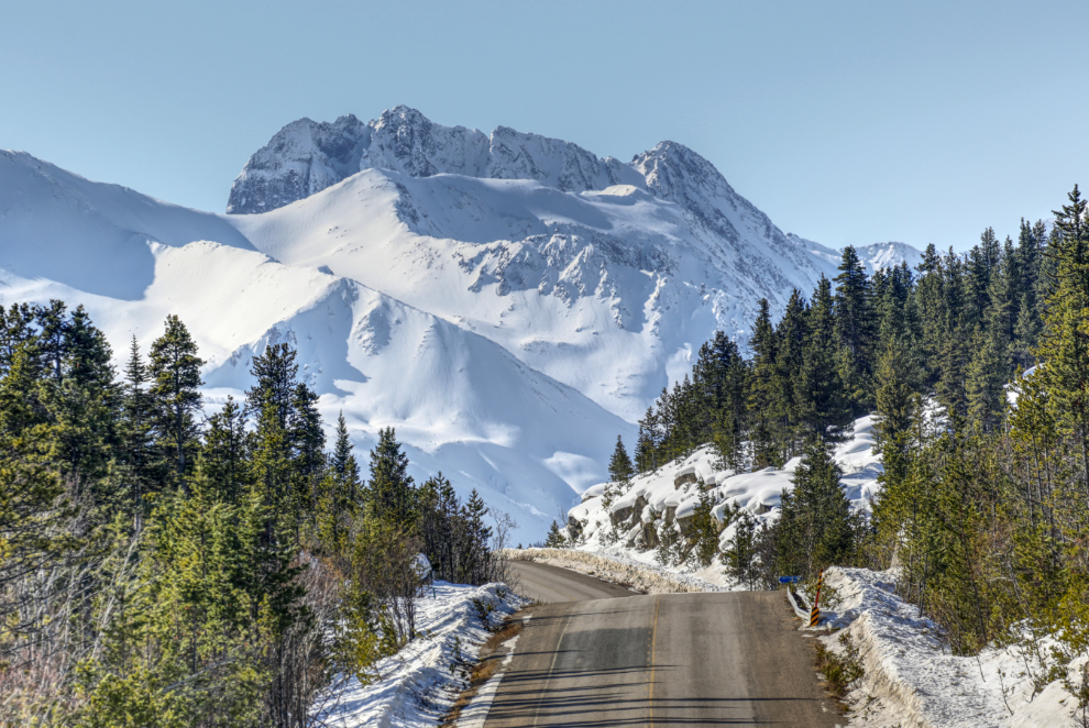
At about Km 42 there’s a nice view of the Teepee Valley, the start of the White Pass. Tour guides commonly call this “Tormented Valley” because of the extreme difficulty of traversing it in the summer during the gold rush – in the winter, a chain of frozen lakes made travel easy. I’ve found no indication that the name “Tormented Valley” was ever used during the gold rush, though, despite claims that it was.
Below the highway is Ptarmigan Point on the rail line along Shallow Lake.
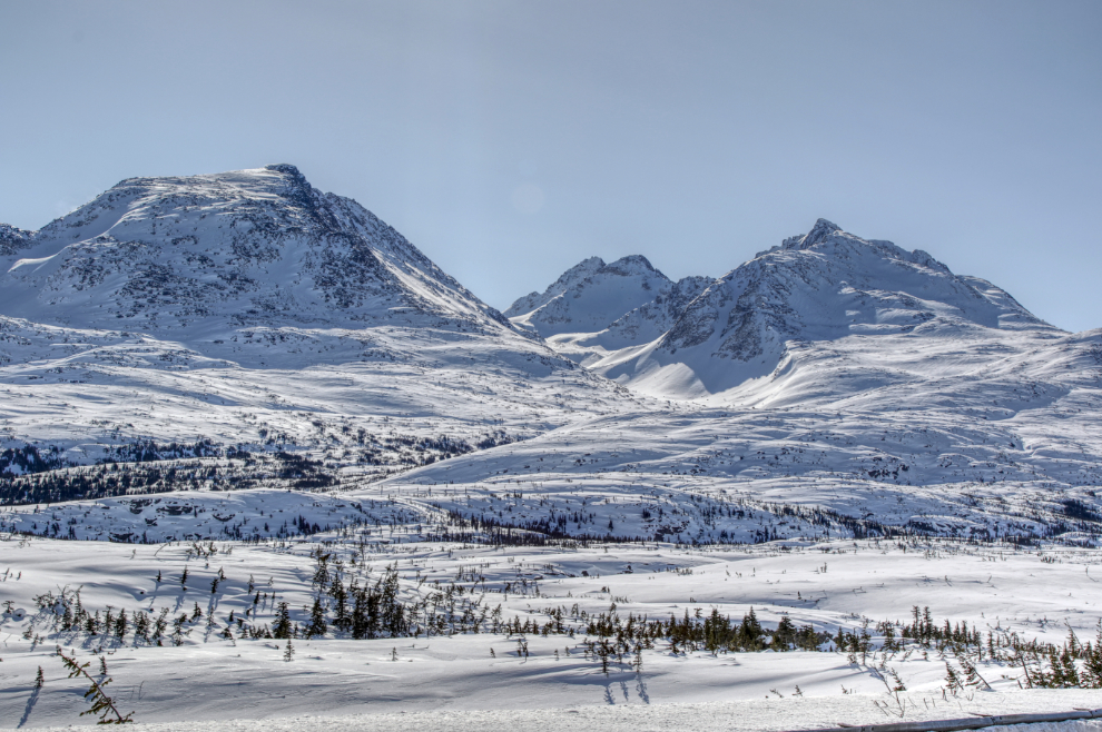
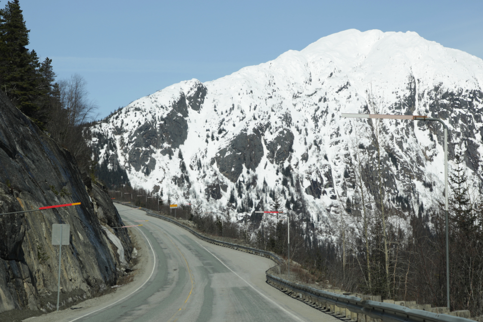
The light was perfect to bring out the drama of the peaks and the wind-sculpted snow. Although I was sorely tempted to stop and shoot some close-ups of the snow sculpting, it was clear that I was already pushing the limits of what I’m able to do and I had to limit my stops.
My first stop in Skagway was Yakutania Point. I arrived 9 minutes after the 0.0-foot low tide. High tide that morning was 16.7 feet. The tidal range during the next full moon on the 21st will be 22.4 feet.
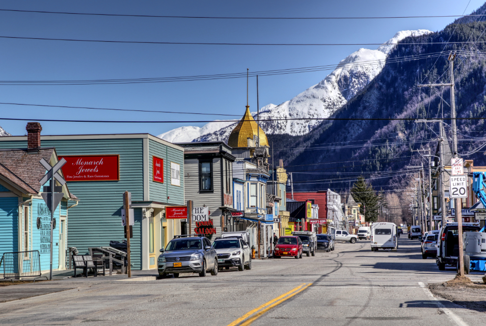
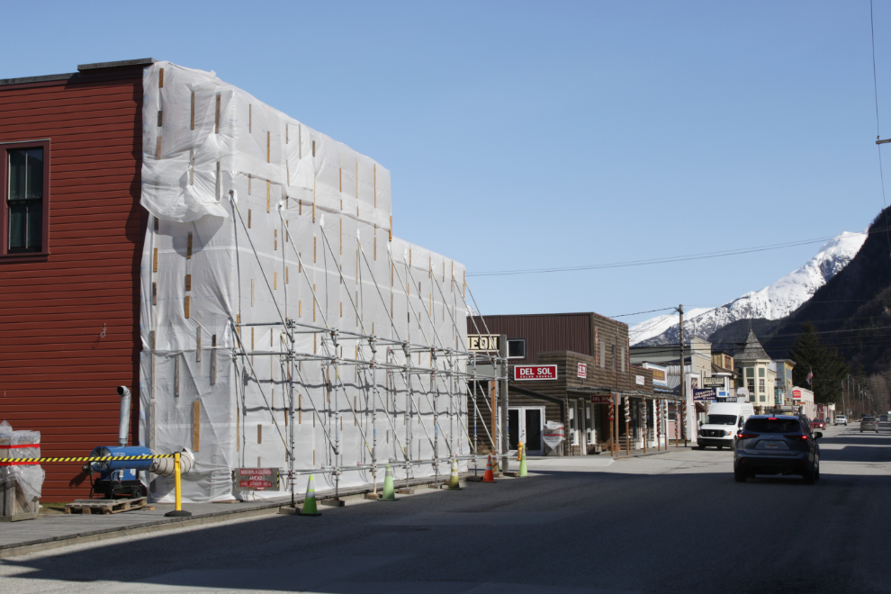
I had a nice lunch at The Station, then got a few photos of the action on Broadway, where stores were being worked on and stocked up.
There’s major work being done on the Skagway Gold Rush jewelry store.
The White Pass Shops was a busy place.
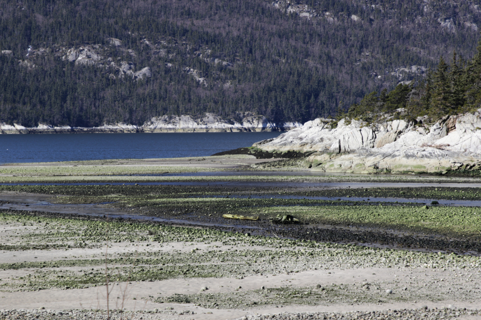
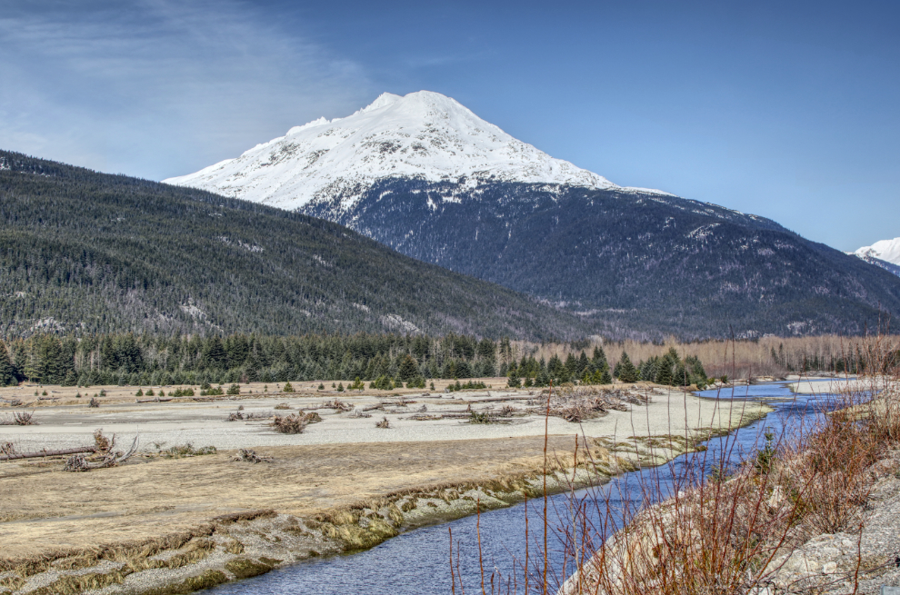
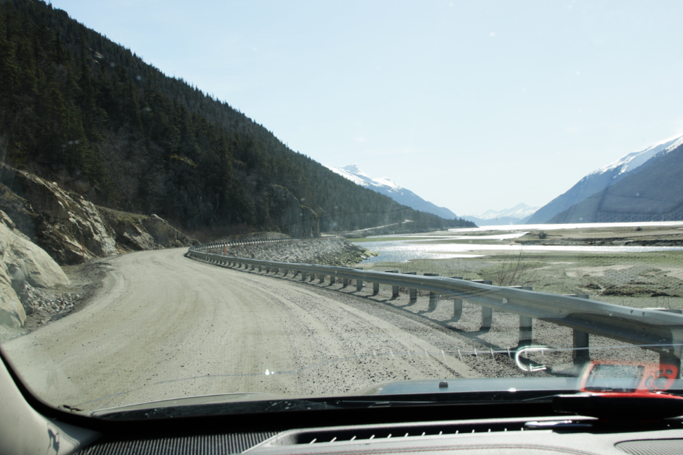
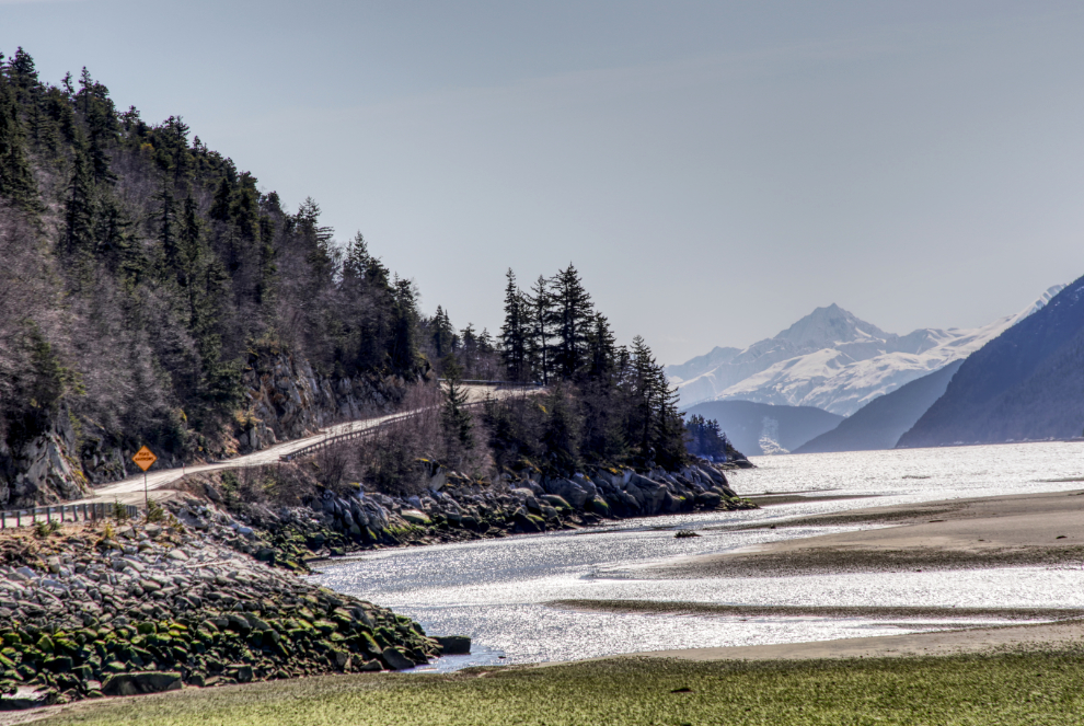
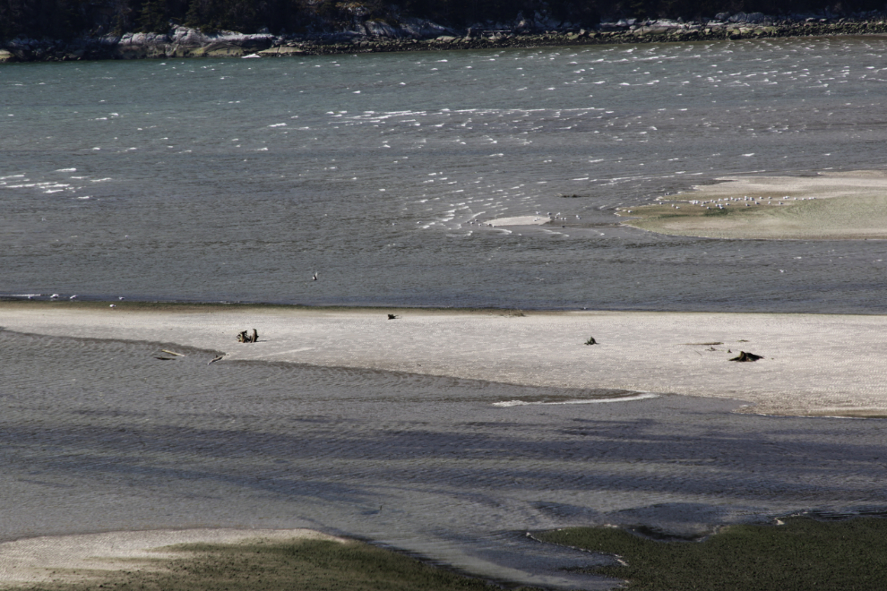
Dyea has always been a very special place for us. At low tide, the beaches there – the Taiya River estuary – are massive.
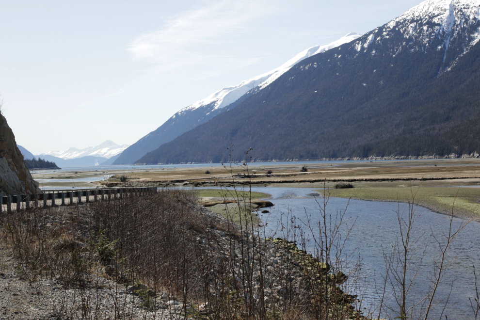
The Taiya River was a small, clear stream – what a difference from the raging torrent we saw last October!
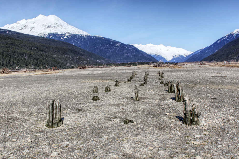
The 125-year-old pilings of one of the main gold rush wharves at Dyea. That view ahead – of the mountains through which the Chilkoot Trail led (and still does) – must have knotted the gut of every person who saw it.
The beach!!! While Tucker is completely airborne in this photo, Bella is still on a leash to protect her knee surgery – this is week 10 of the 16-week therapy. She’s clearly frustrated at times like this but has been so good about it. Short term pain, long term gain…
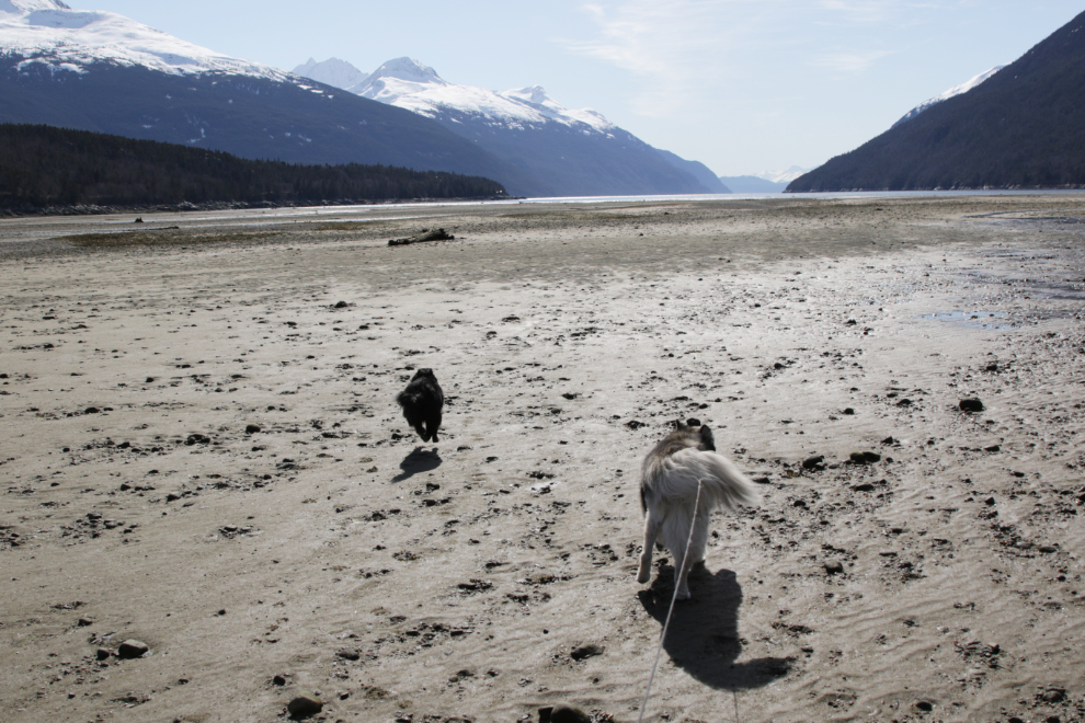
There were a half-dozen horses and riders on the beach but other than that we had it to ourselves. Seeing a forecast high of 46F I had brought shorts and flipflops for the beach walk but the wind was bitterly cold so they didn’t get used. We did the half-hour walk that is Bella’s allotment now, then I had to have a nap – 45 minutes or so – to recover enough energy for the drive home. At about 2:30 Yukon time we were on our way.
What a place!
A final shot of the beach being rapidly reclaimed by the sea.
At about Mile 9 of the South Klondike, we reached the snow again.
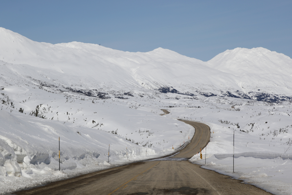
Just south of Summit Creek, which will probably be my first motorhome destination when most of the snow is gone. Although the motorhome is in the driveway poised to go, the melt is happening extremely slowly, so it’s hard to say when that might happen.
The photo above was the last one I shot. Though it totally burned me out because I tried to do too much, the day was a win, and makes me optimistic for a good summer ahead 🙂
Spectacular photos. What a pleasure it must have been for you to get out for that day. Despite your energy limitations you are getting it done. As always thanks for sharing your journey with us. My third pass on the photos too.
Always delightful reading while having my morning coffee. Thank you!
Thank you, Patsy. It’s always nice to have you along with me, year after year 🙂 I hope you were missed by those massive storms this week!