More pipeline and railway exploring by e-bike
Yesterday, I went out on a major exploration again, on the route I started to ride on May 13th, along the WWII Canol pipeline road. My goal was again to reach the Cowley Lakes where the White Pass & Yukon Route rail line crosses them.
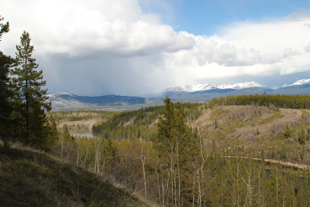
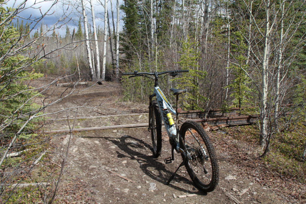
Cathy joined me this time, though she wasn’t into either a long or difficult ride. The first photo was shot at 3:58, on the pipeline road 5.1 km from home, looking north at the south end of Mary Lake. The weather was a bit chilly (11°C/52°F) and unsettled – there was a chance we were going to get rained on.
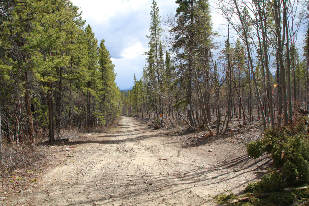
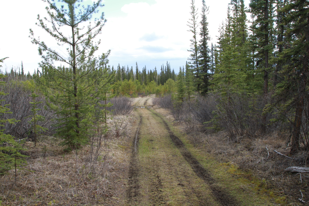
Cathy turned back at 5.4 km, and I followed her back for a bit, then continued on. When I shot the next photo at 4:07, I had joined The Great Trail (the Trans Canada Trail), and on the right you can see the firebreak that’s being cut. The Great Trail uses the old pipeline road here.
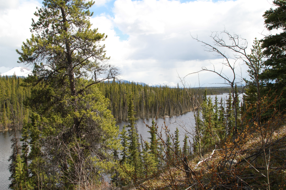
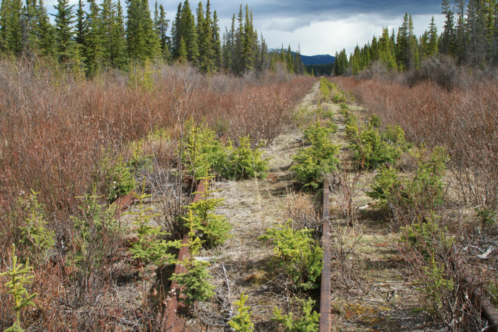
There aren’t many good viewpoints along this route, but this view to the southeast across Murray Lake is lovely. The view is from near the top of the longest climb on the entire road. The lake was still mostly frozen 10 days ago.
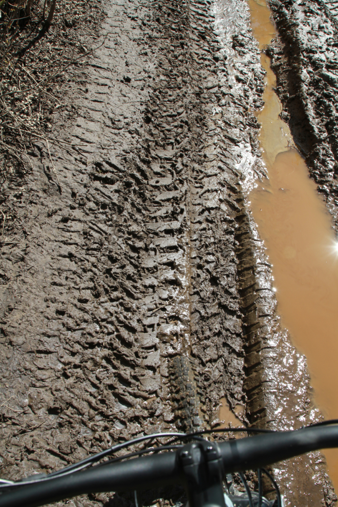
At 4:24 I reached the first really ugly stretch of water and mud. Some of you might think I enjoy this sort of slop because I end up at such places so often, but I actually don’t 🙂
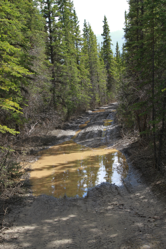
Slimy – I’d hate to fall along here…
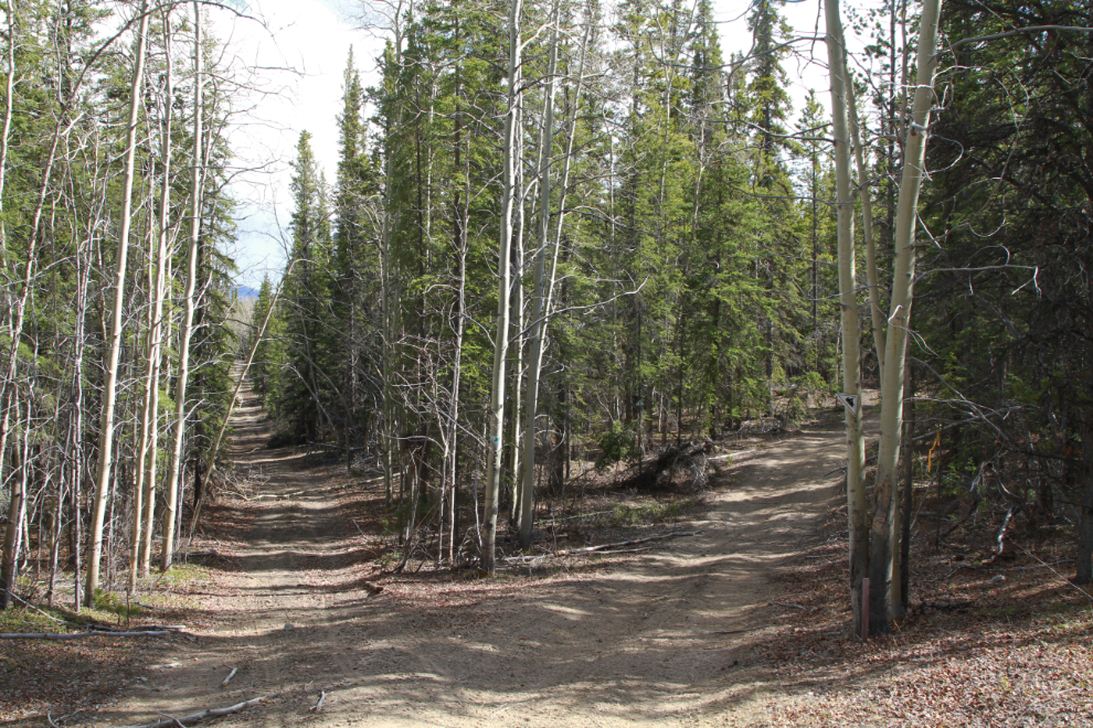
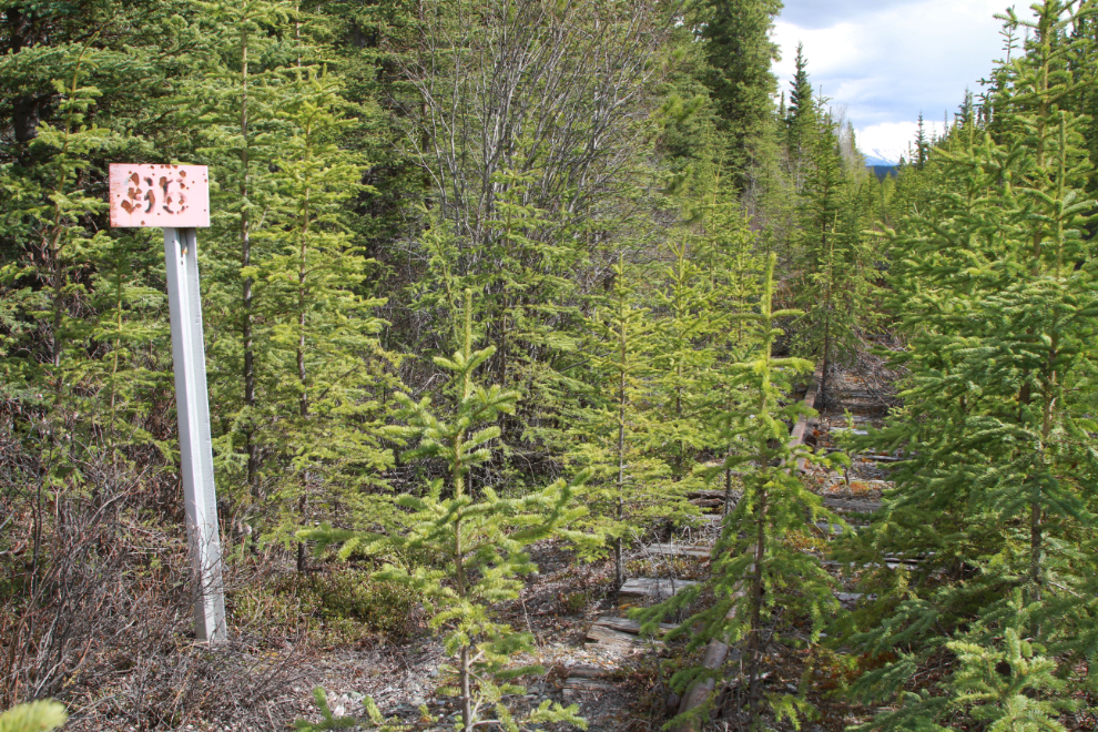
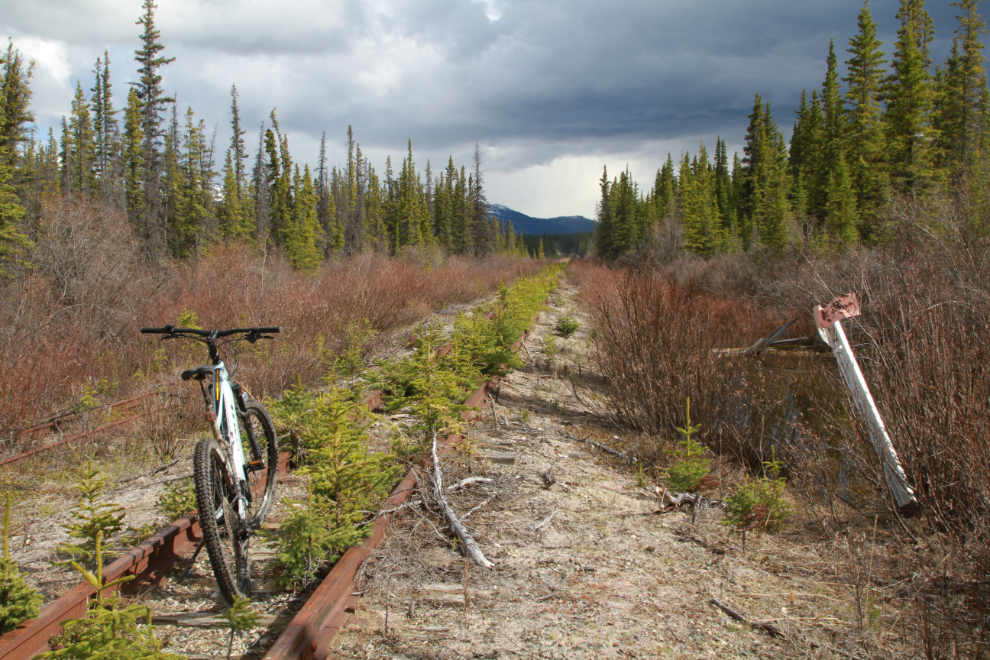
At 4:31 I reached an important junction. The Great Trail goes off to the right, but the railway was my focus and the road to the left stays closest to it, so that’s the way I went.
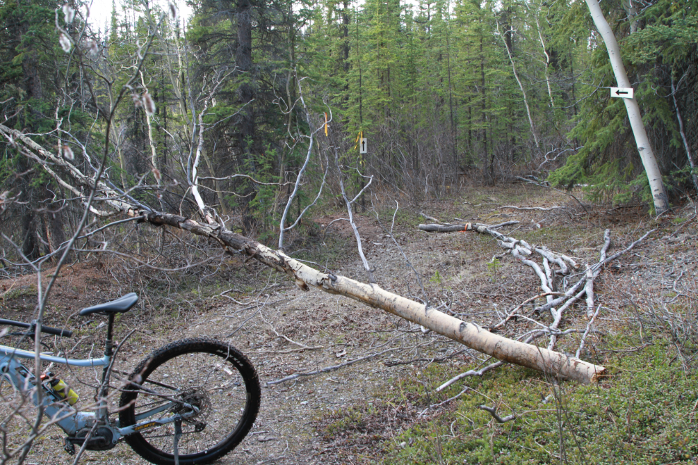
Just past the point where I got stopped by deep snow 10 days ago, I encountered more water/mud. While I’ve gotten fairly used to riding through these, something told me this one was going to be a problem, so I walked along the left side.
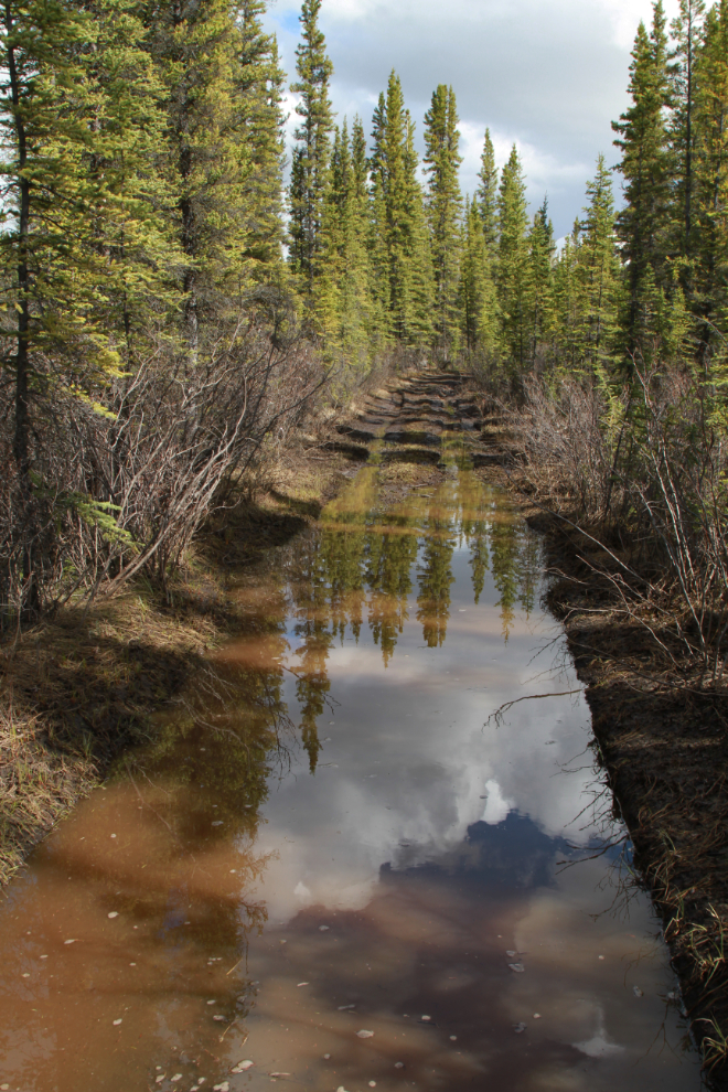
My hunch was right – this one was deep.
At 4:37 the road crossed the tracks and headed north, which was not the direction I wanted to go but I decided to follow it for a while anyway, as it was nice riding.
That path soon came to private property so I headed back to look for another route. From the many old burn piles among the young trees, this area was being prepared for farming 30 years or so ago.
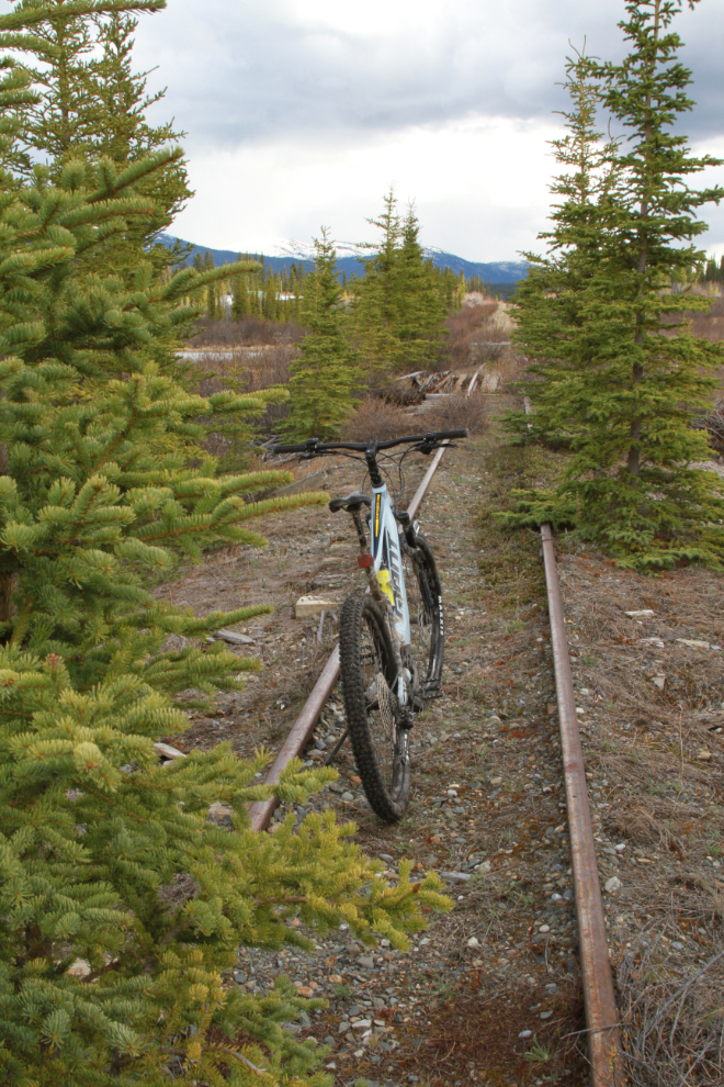
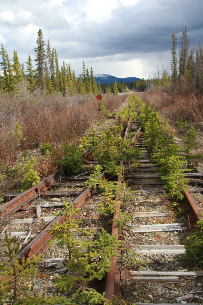
At 4:45 I was back at the rail line and I added another milepost photo to my collection – MP 96.
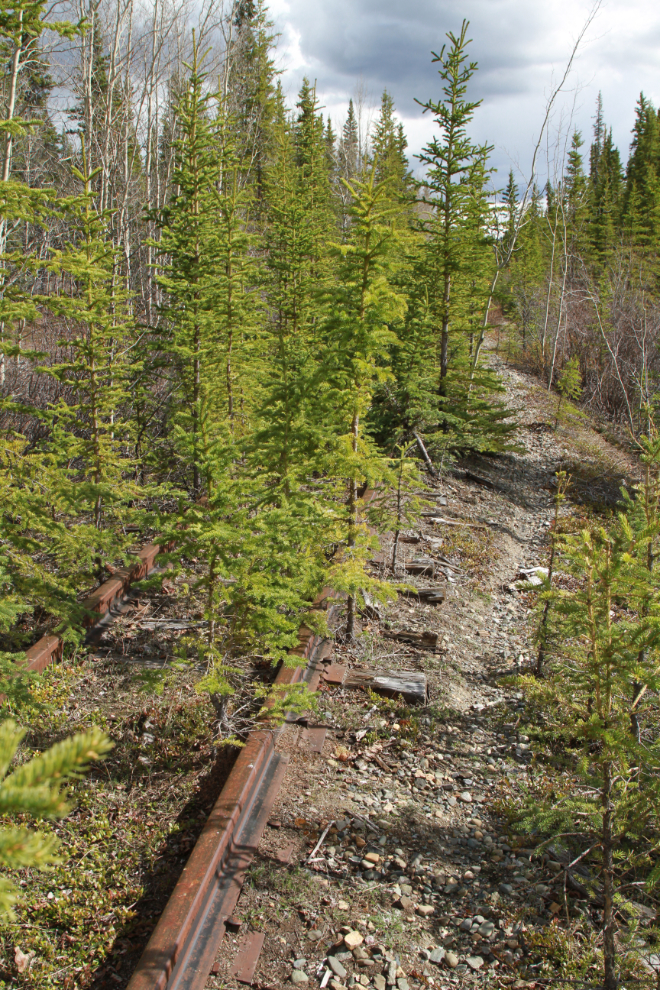
Now there was no road to follow, just a narrow path alongside the rails.
After a few hundred meters of that path along the rails, the route led off into the forest. The path that had been cut was winding and too narrow to ride, but is very well flagged for some reason. I didn’t take any photos through there. The next photo was shot at 4:53, looking back at that forest section.
At 4:57 there was no more road, trail, or path, just the rail line. The homes off to the left showed that I was nearing the Cowley Lakes, though, so I was going to be successful this time.
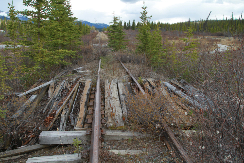
The first very rotten culvert was easy to cross.
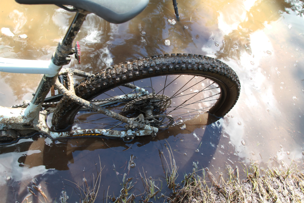
At 4:59, though, I had a problem. There were two options. Option #1 was returning home the way I’d come – not really much of an option, given how close I was to my destination. Option #2 was to wade across the swamp and creek to the left, which was probably less than waist-deep.
As it turned out, the swamp was knee-deep and the creek mid-thigh. E-bikes are heavy, though – mine is 55 pounds – and I have no intention of finding out how waterproof the battery compartment. I do wish someone had been with me to film that silliness! 🙂
Although my brain injury is still causing me some bad days (I had one just 2 days ago), I’m pretty much back to normal most days.
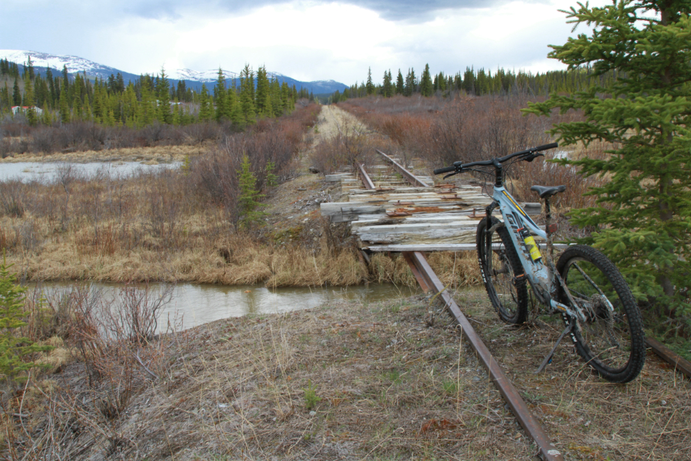
At 5:09 I was past the homes, and had reached the Cowley rail spur, which is several hundred meters long. I noticed here that my bear spray was missing – probably lost on the swamp/creek crossing 🙁
Another milepost I’d never seen before – MP 95 – along the Cowley spur.
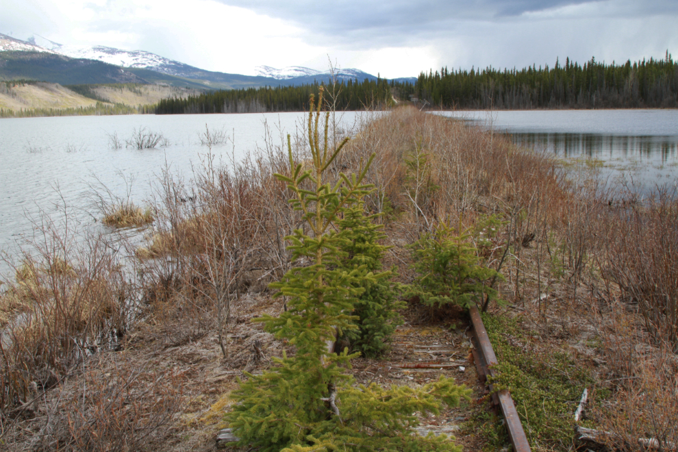
The south end of the Cowley spur at 5:15, with the first of the Cowley Lakes visible in the distance.
WHOOHOO, I made it! The start of the first Cowley Lakes crossing, at 5:21. It’s hard to even imagine how difficult this would have been to build in 1899. To a lesser degree that’s true for much of the rail route I rode this day, as much of it is built across swamps.
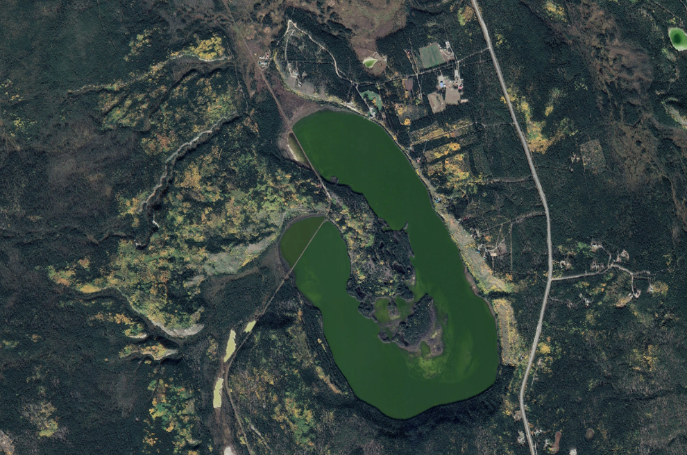
The next photo is Google Earth’s view of the Cowley Lakes – click here for an interactive map of that area.
That is where I turned around – home was a long though easy ride away. Just after I started north I got hit by a heavy hail-and-rain storm, and stuck my camera in my backpack.
I got home a few minutes after 6:00 – the entire route this day was 30 km. You can see the fun video and map that the Relive app creates here.
Some day when I’m sure road has dried out I’ll be riding down that way again, but following The Great Trail at the junction I showed you above. I still want to walk along the entire Cowley Lakes causeway.
Loved this blog Murray! Beautiful terrain and history!
Thank you, Joyce. It sure is – and it will be even more beautiful when it greens up.