Back for another look at the Duffey Lake Road
On the drive to Lillooet, I disconnected the Tracker to go back for a better look at the western section of the Duffey Lake Road, the climb up from Pemberton. On Day 47, June 11th, I went back for a look at the eastern section, the even more dramatic drop into Lillooet.
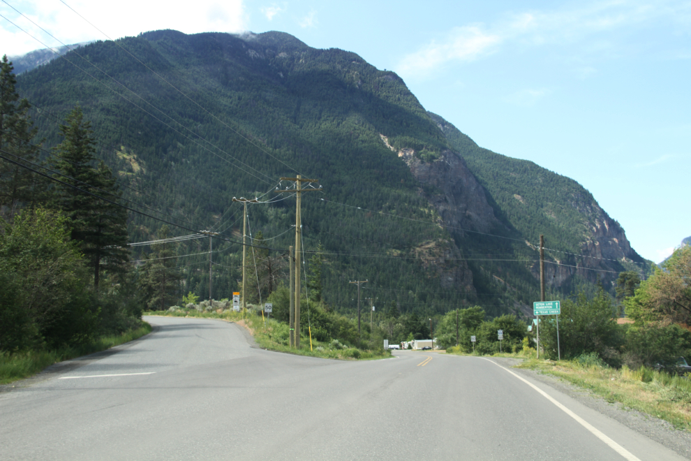
Leaving Lillooet at 11:15, I took a photo of the junction of the Texas Creek Road with the Duffey Lake Road, to remind myself of one of the most spectacular places my son and I ever went in our Blazer – Molybdenite Lake. There’s a good photojournal of a 4×4 drive there at ih8mud.com.
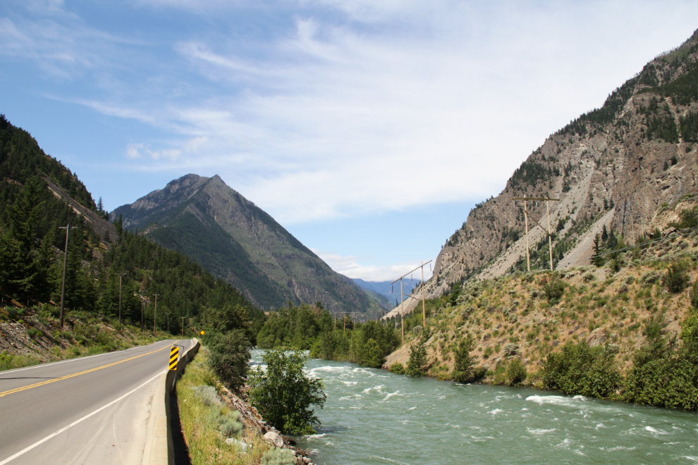
The Seton River 5 minutes later.
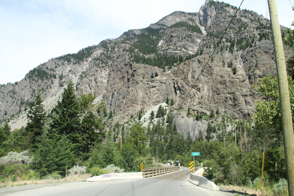
The only survivor of the 3 one-lane bridges that used to be on the Duffey Lake Road.
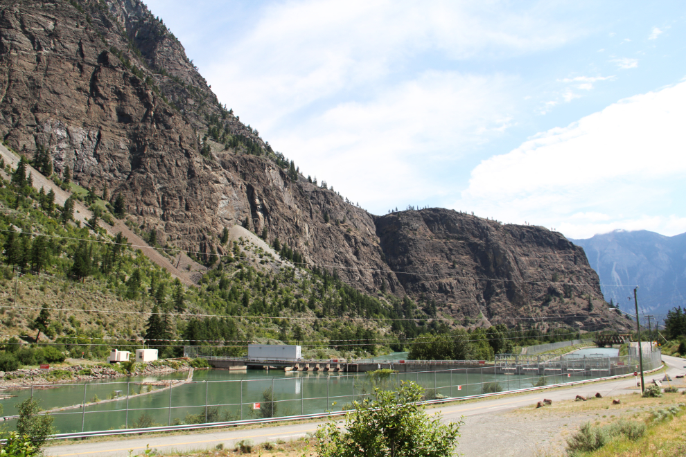
The little Seton Dam supplies water to the Seton Powerhouse on the Fraser River at Lillooet.
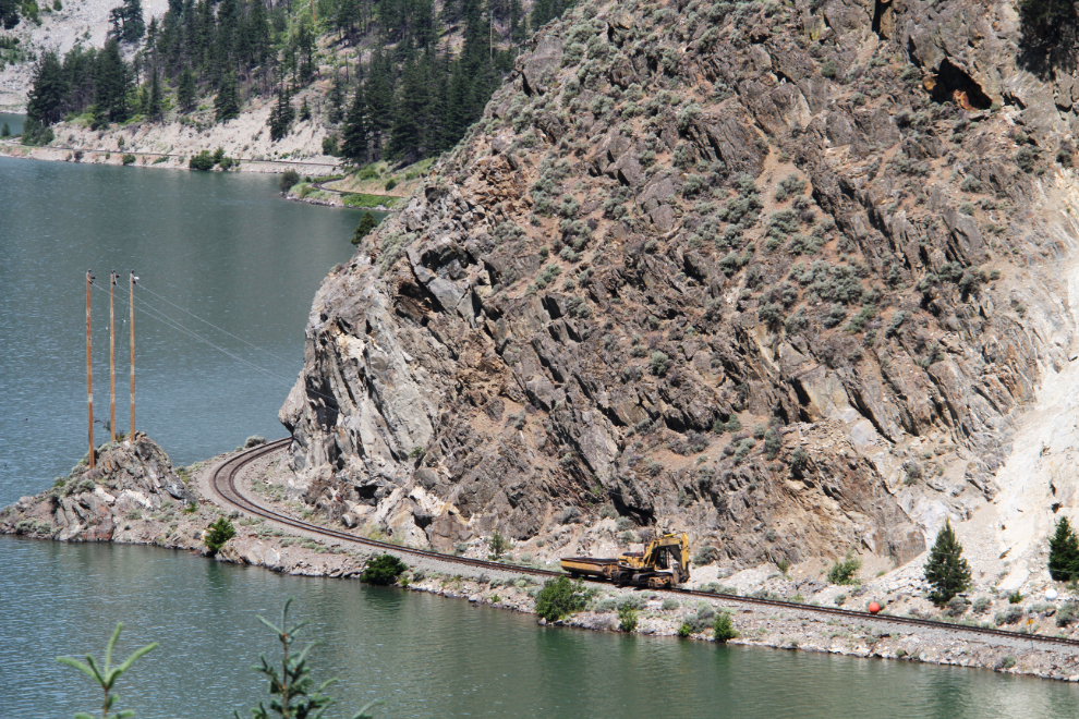
The railway along Seton Lake is often described as one of the most scenic in the world. As I was lower down, the Rocky Mountaineer train went by. There is also a daily service called the Kaoham Shuttle that runs between Lillooet and Seton Portage.
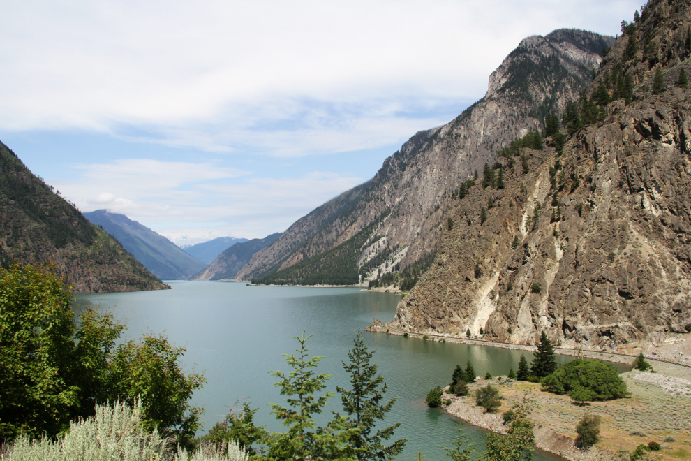
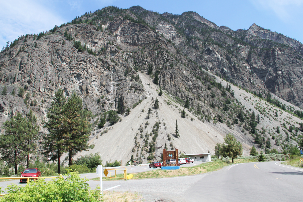
BC Hydro has developed a very nice Recreation Area that has both this upper viewpoint and a beach down on Seton Lake.
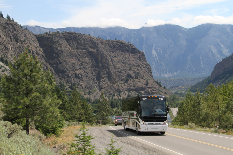
The second of the tour buses I saw. The driver waved at me when he noticed me taking the photo – I like his attitude a lot.
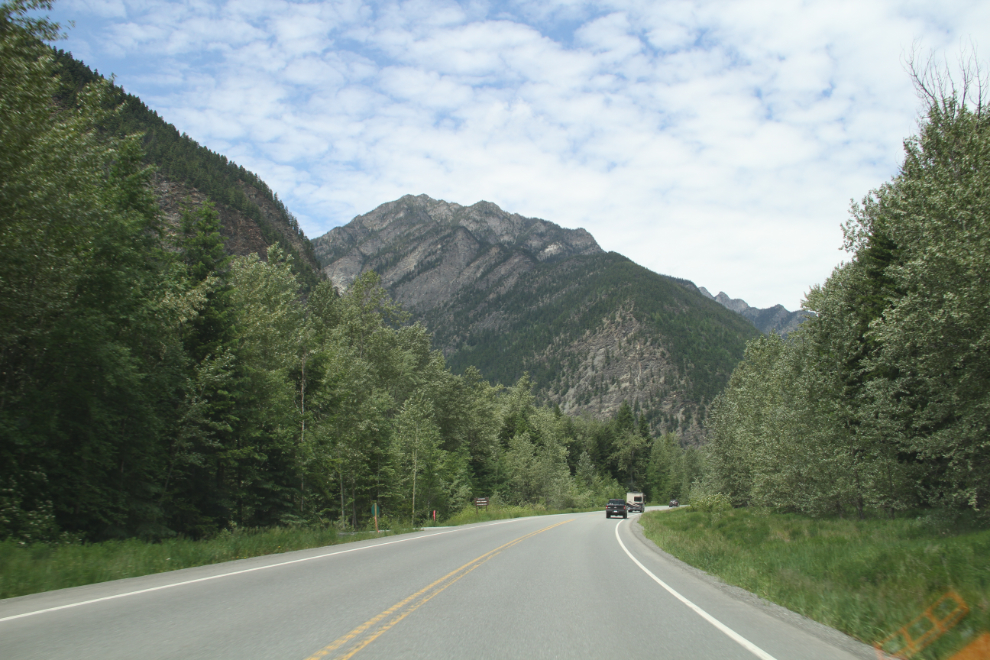
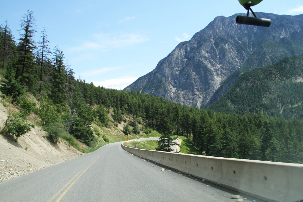
The road ahead from the Recreation Area.
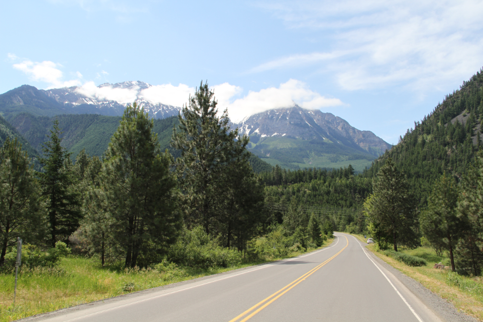
Gaining some elevation, at 11:45 (I spent some time at the Recreation Area).
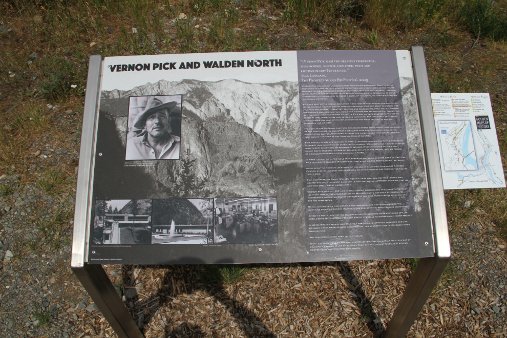
The story of Vernon Pick and his incredible estate that came to be called “Walden North” is a local legend about which a book is currently being written.
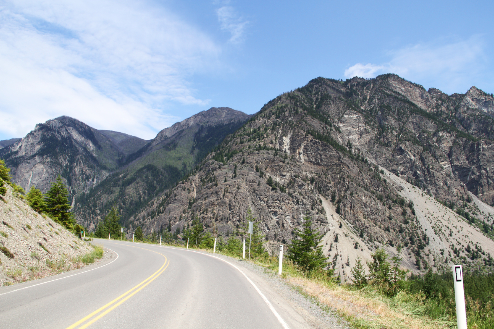
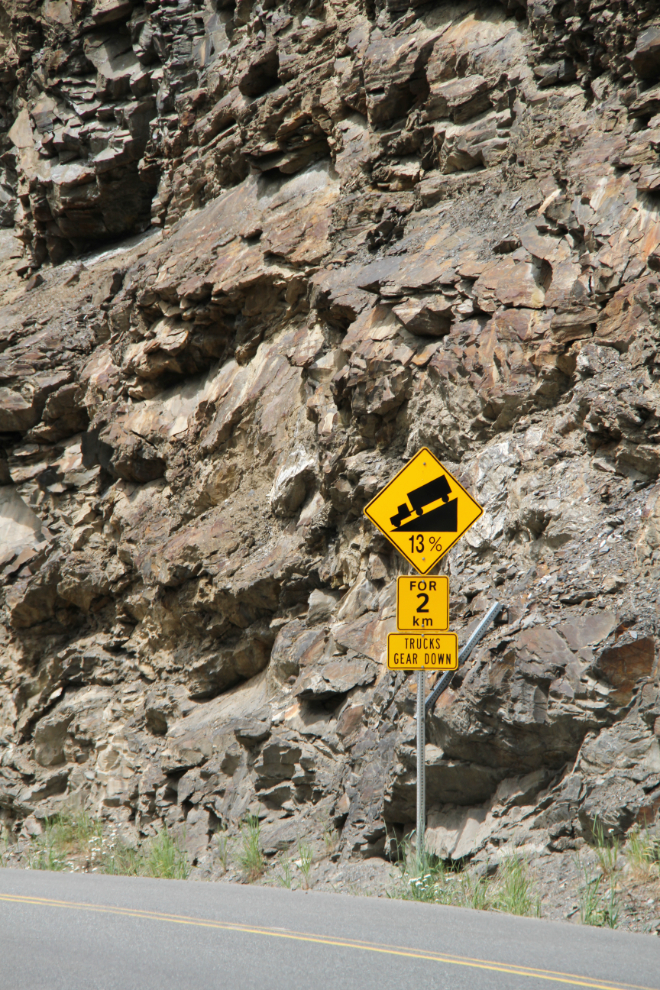
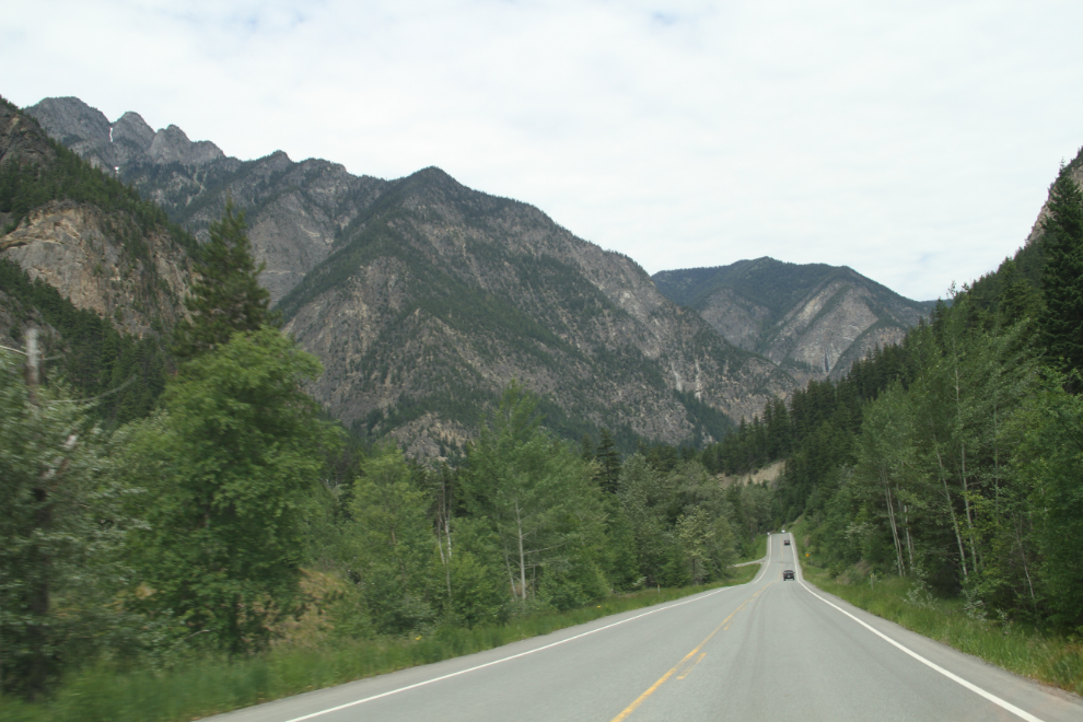
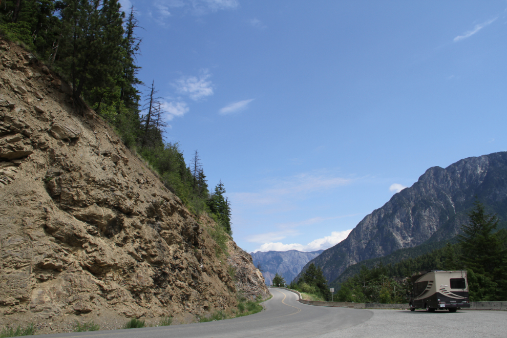
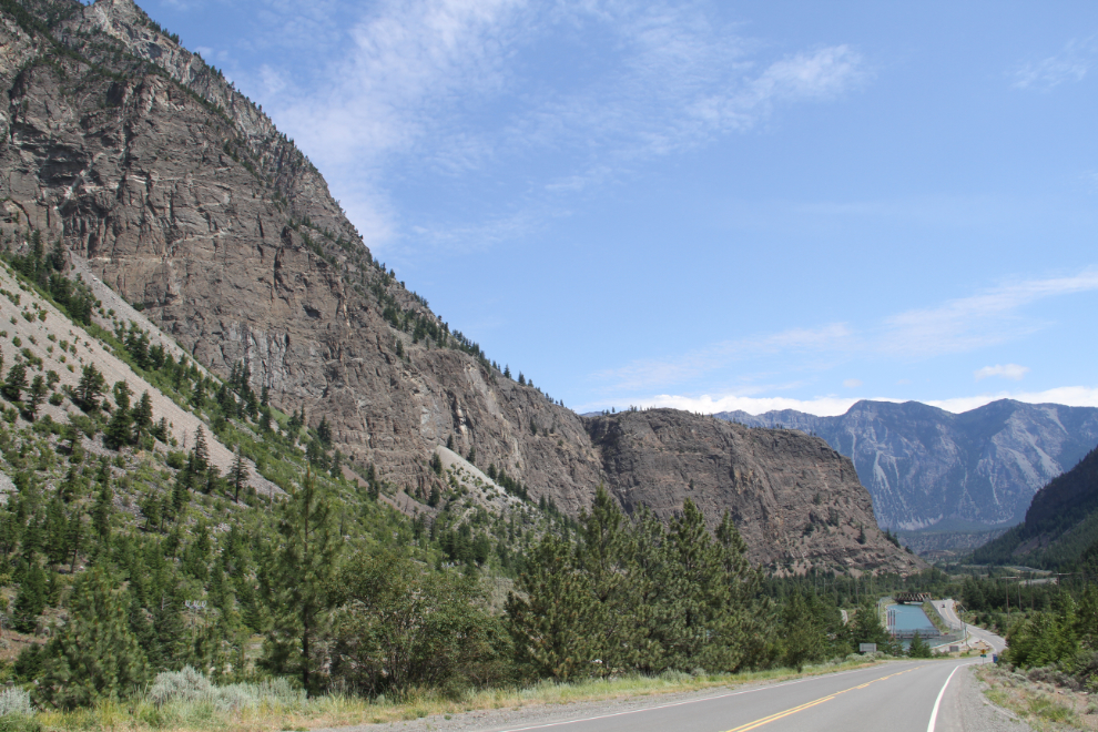
Athough most of the grades driving westbound are uphill, there are some impressive down-grades as well.
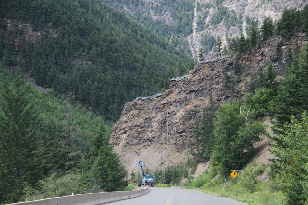
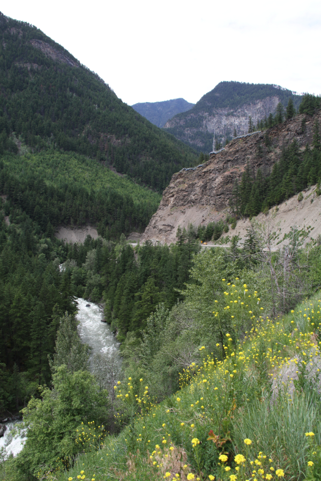
Huge rolls of wire-mesh are at the top of that cliff ahead, to be unrolled over the cliff to reduce rockfall dangers. Nobody was working this day, but I’ve watched it being done on a smaller scale in other places, and find it quite fascinating.
I did a U-turn at 12:05, not wanting to get into the long pilot-car delay that I hit coming eastbound. This would get me the most dramatic part of the drop into Lillooet. The next photo was shot at 12:16.
Two minutes later.
12:26.
Back at the wire-mesh cliff at 12:30, with Cayoosh Creek raging below.
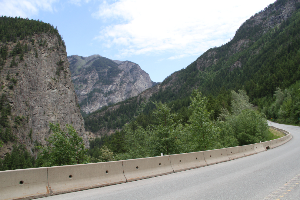
The Duffey Lake Road really deserves some stops to appreciate the country. And to appreciate the work that resulted in a road being punched through these rocks.
One of the very few formalized viewpoints, at 12:36.
A tight switchback at 12:40.
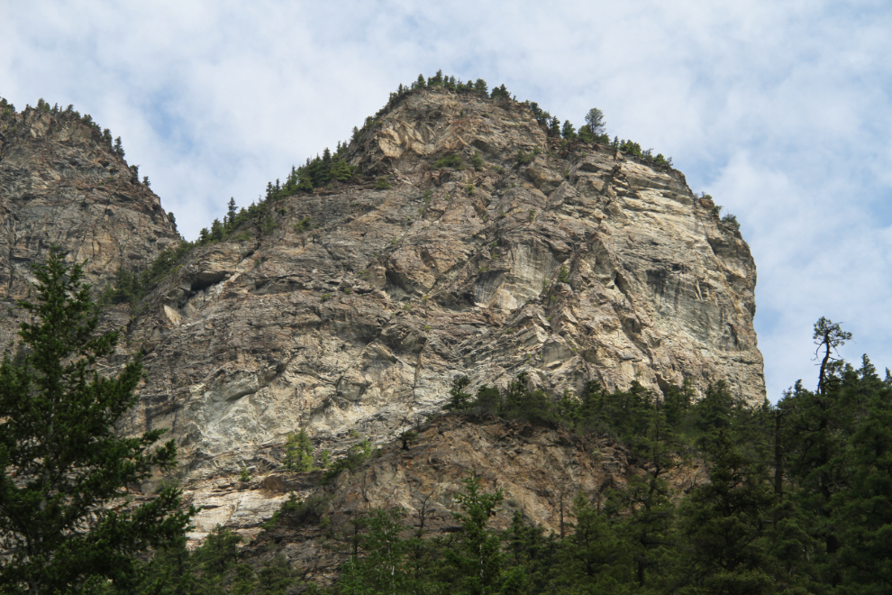
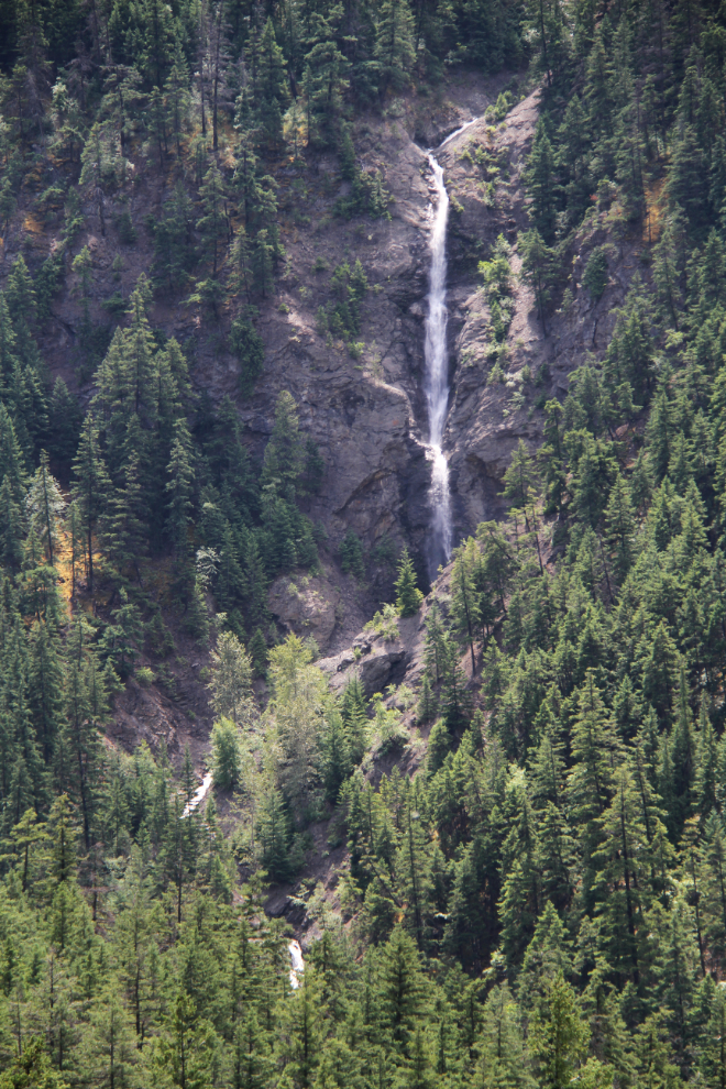
Across the canyon, the most impressive of the waterfalls in this very dry country.
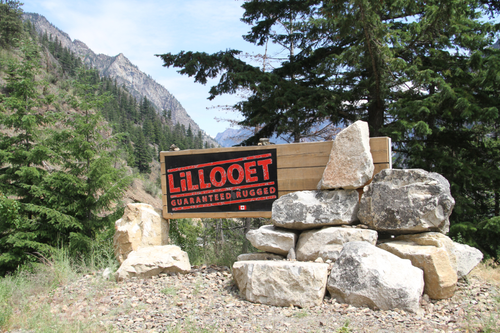
The first and newest of the 3 “Welcome to Lillooet” signs, each with very different designs.
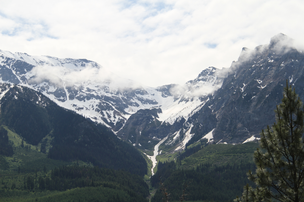
For just a short distance, you get a look at the country behind the dry cliffs that tower over the road.
At 12:48, we were almost at the bottom of the hill again.
Ten minutes later, we were at the motorhome, and I was getting ready for the next exploring, the lunch at Fort Berens Estate Winery that I told you about in the last post.