A late-Fall hike in the White Pass with the dogs
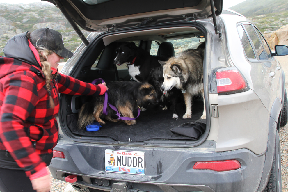
On Saturday, my friend Karla and I decided to take advantage of the continuing beautiful Fall weather for a hike in the White Pass. As well as my dogs Bella and Tucker, and Karla’s little dog Meeko, I was baby-sitting my former foster Klee for the weekend, so we had a good Jeep-full of fur 🙂
The weather forecast called for wind and perhaps a bit of rain, so I picked a sheltered trail, Bryant Lake, which is right above Fraser, where the Canadian border crossing is located.
We got away from Whitehorse just after 09:00, and by 10:15 when I made the first brief photo stop, we were in the pass between Windy Arm and Tutshi Lake on the South Klondike Highway.
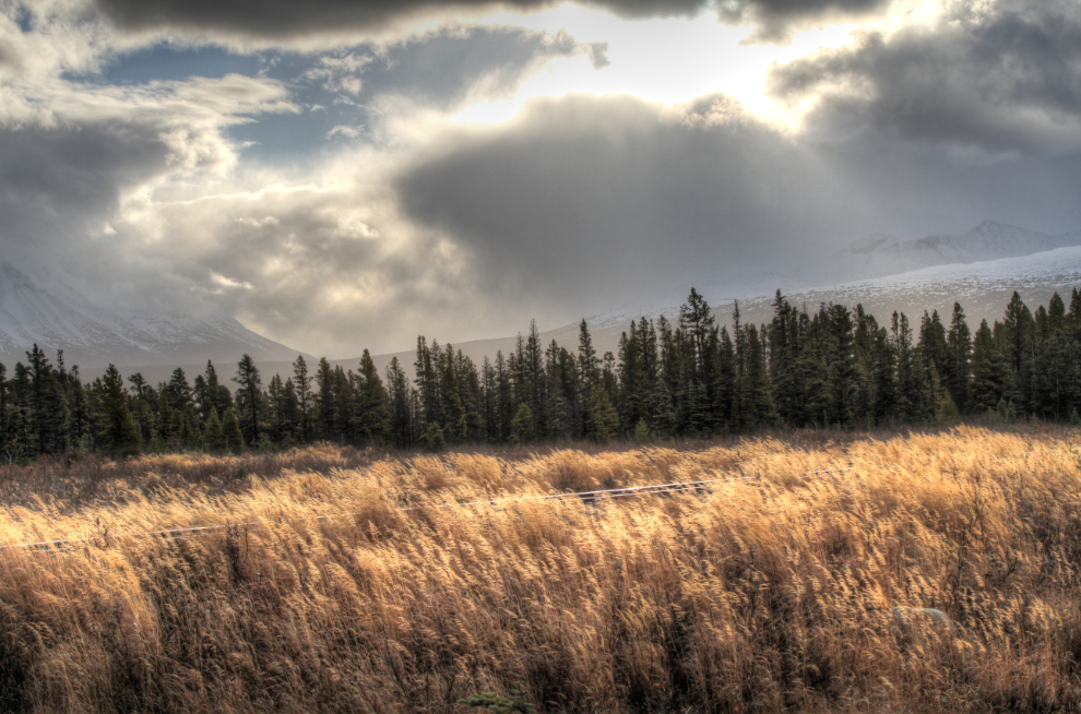
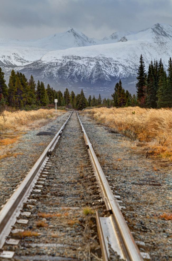
Fifteen minutes later, the light was so wonderful at Log Cabin that we spent a few minutes shooting. The grass, the WP&YR rail line, and the snowy, storm-lashed peaks behind offered plenty of opportunities.
The White Pass & Yukon Route has lots of work going on, on track maintenance and upgrades, but the tourist trains stopped a month ago.
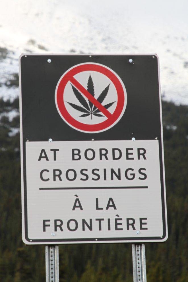
On October 17th, cannabis use became legal in Canada. It’s also legal in Alaska, but it can’t be carried across the border, so signs have been installed to warn about that rule that some people may not expect. This sign is at Log Cabin, so people have lots of warning and an easy place to turn around if necessary.
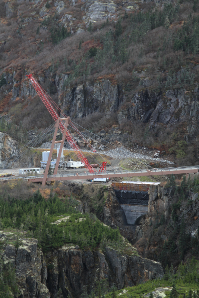
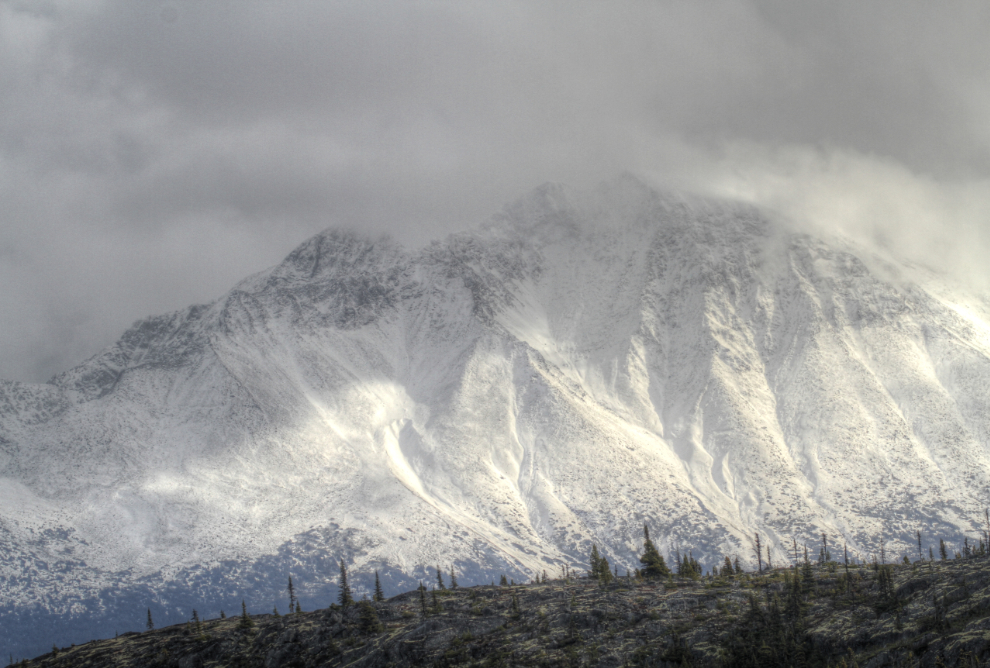
I decided to go past the Bryant Lake trailhead to have a look at the new bridge construction. The light for the final climb up to the White Pass summit was certainly dramatic.
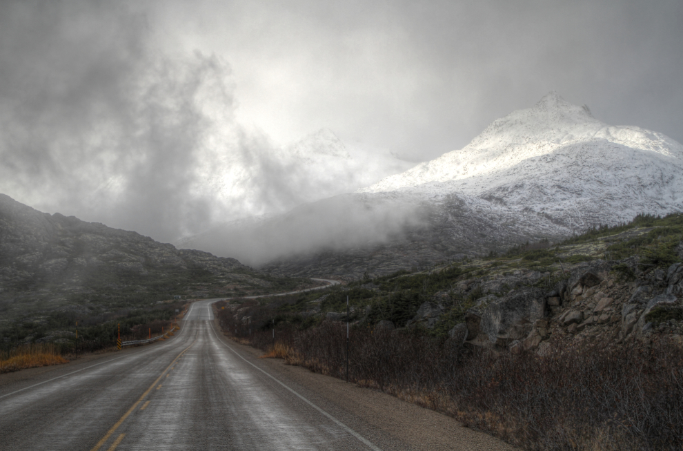
The new William Moore Bridge was supposed to be finished by the end of August, but it’s not nearly finished yet, and crews appear to be gone for the winter.
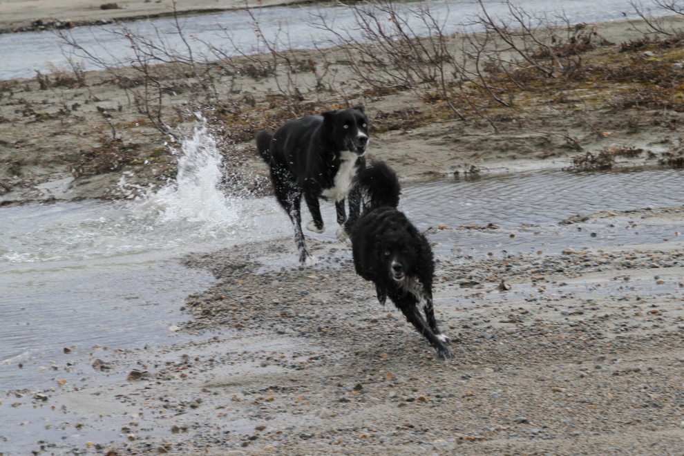
We drove back to Summit Lake, and decided to give the dogs a good rip down on the beach before taking them on the more confined trail. They had plenty of exploring to do on the walk to the lake.
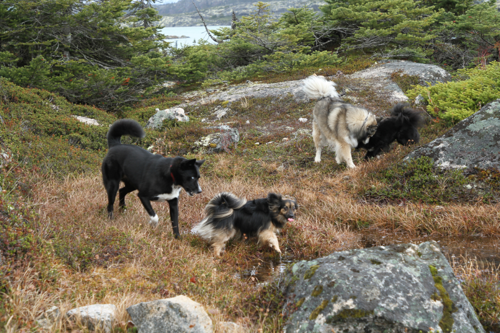
They got way ahead of us and quickly made it clear that the beach was a great idea. Meeko in particular was quickly soaked, dirty, and happy 🙂
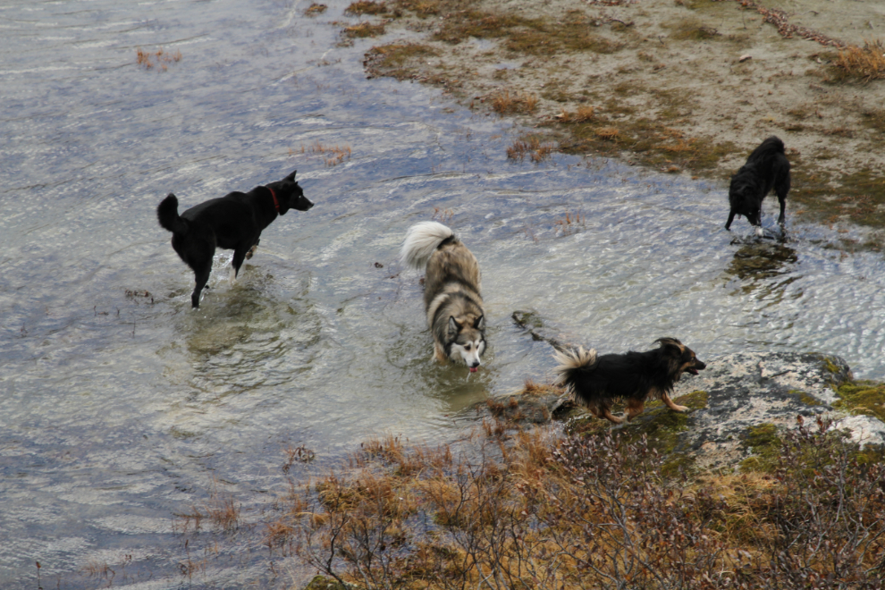
Tucker loves being chased, and Klee was game for that. The lake level was extremely high and the beach was extremely small, but there was still plenty of room for fun.
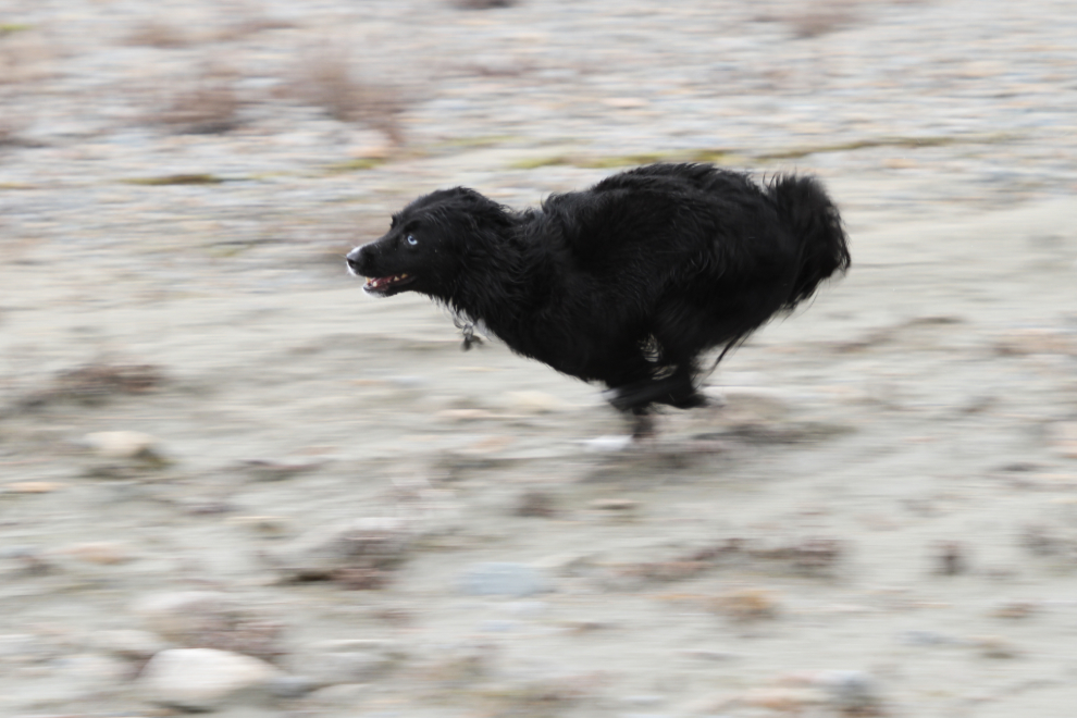
“Rocket Man” showing off just how fast he is! 🙂
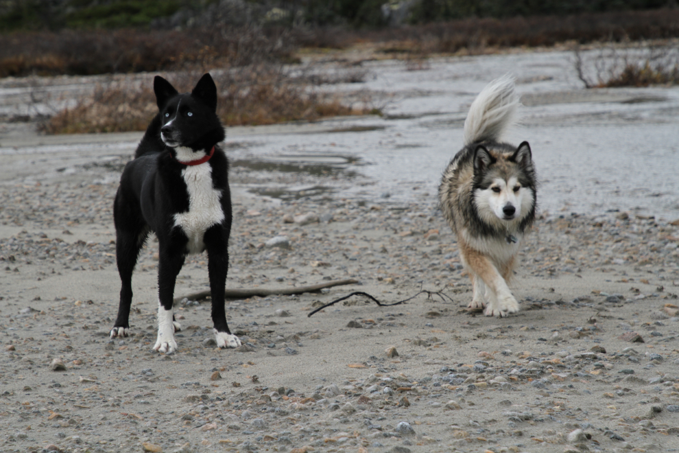
Klee and Bella after the initial energy was burned off. The wind was quite strong and very cold at the lake.
I love being able to put a smile like that on that little girl’s face.
Okay, it’s noon – back in the car and let’s go find a trail. The cover we bought for the back of the Jeep makes wet and sandy dogs no problem.
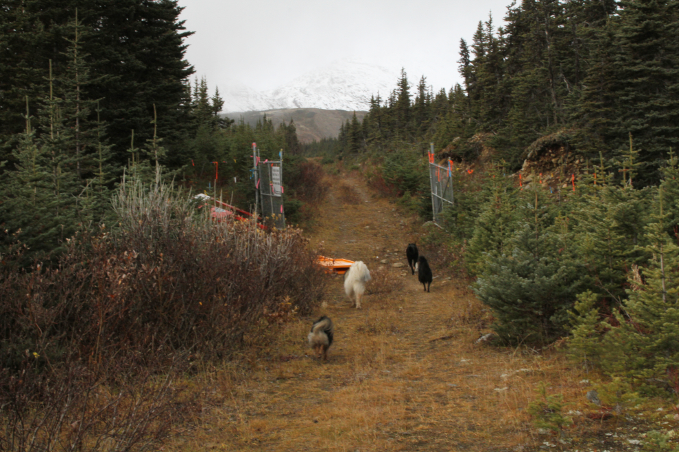
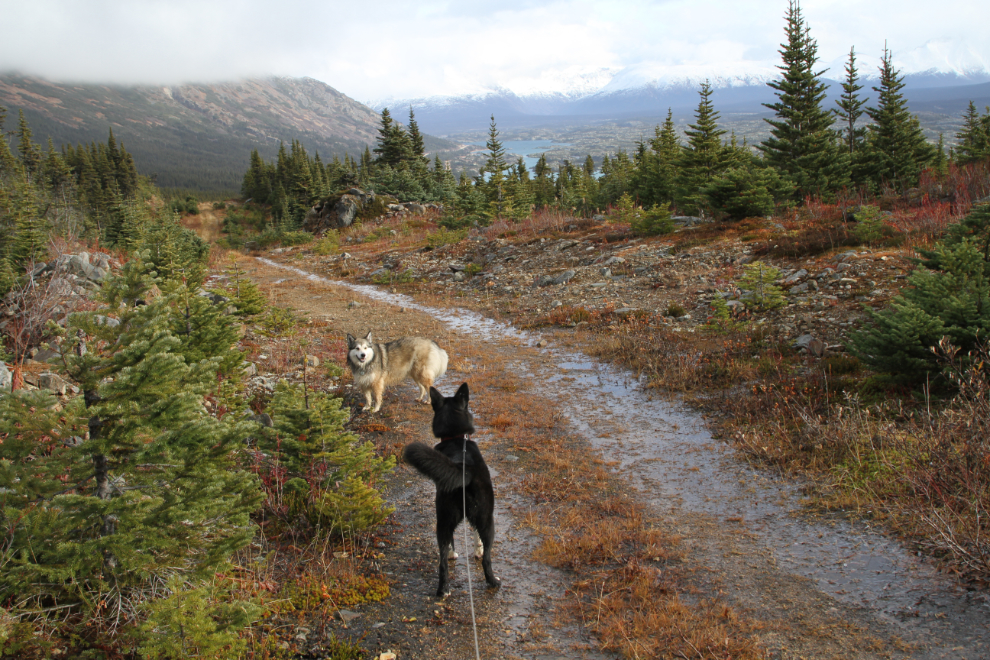
At 12:40 we were well up the trail to Bryant Lake. We brought leashes in case any of the kids didn’t stay with us, but they were all being great.
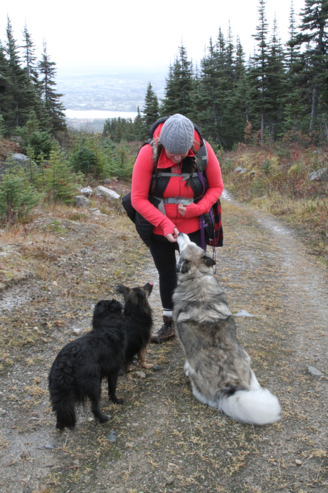
Cookie time. By this point we were out of the worst of the wind, but it was damp and cold.
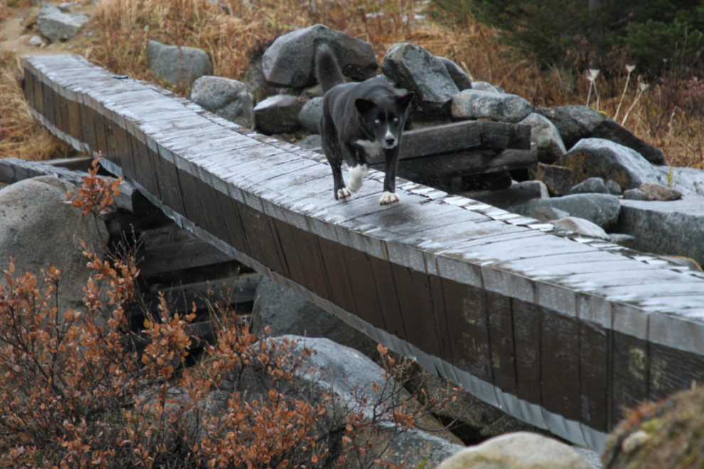
Just before reaching Bryant Lake, there’s a creek to be crossed. I had expected the high country to be frozen and the creek to be low enough to cross easily, but that wasn’t the case.
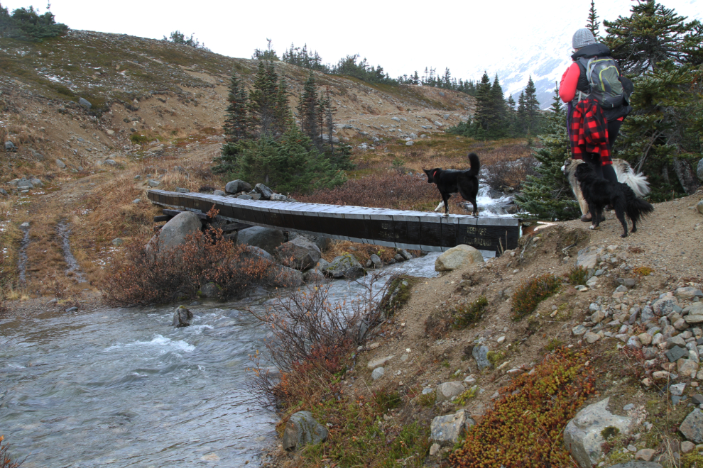
Klee crossed on the water line that supplies Fraser, but Karla and I decided that with the weather closing in, the lake itself wasn’t that important, so called her back. She wasn’t nearly as confident on the return crossing! 🙂
The sun was trying hard to make an appearance as we walked back down towards the highway. I had to put Klee on a leash for the last half-hour or so, as her explorations had gotten too ambitious, beyond my comfort level.
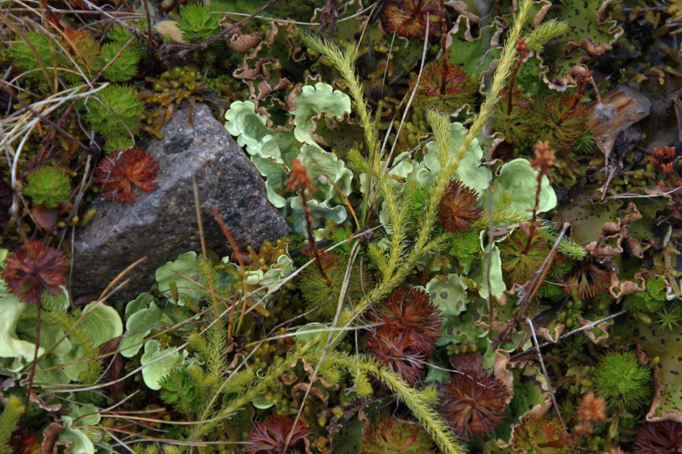
Along the trail were some of the healthiest looking lichens and fungi I’ve seen in a long time, and I spent a while shooting them.
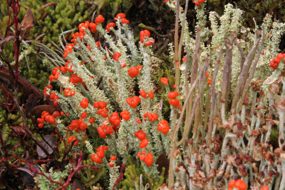
These are British soldiers lichen (Cladonia cristatella).
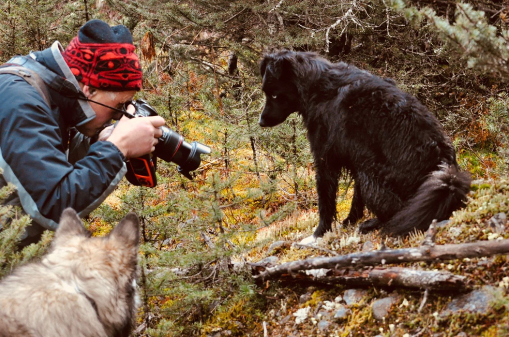
Karla captured this shot of me hard at work photographing lichen, with my attentive assistants standing by in case I need help 🙂
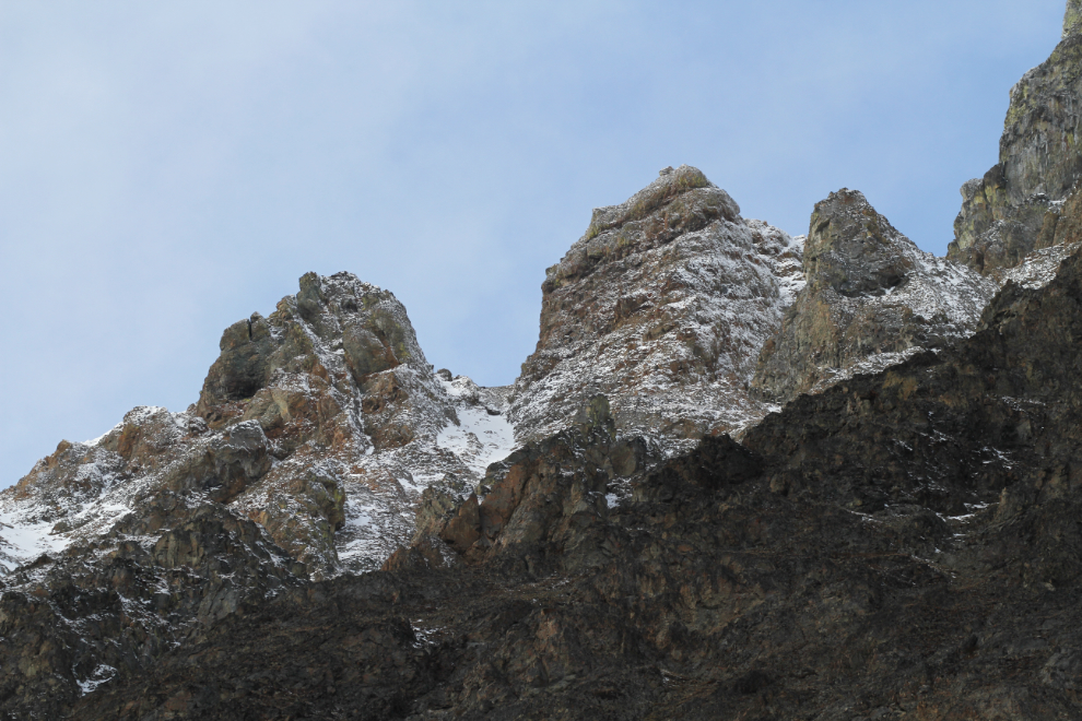
We got back to the Jeep just before 2:00, made the quick crossing at Customs, then made a photo stop to capture the great light on the peaks beyond Tormented Valley.
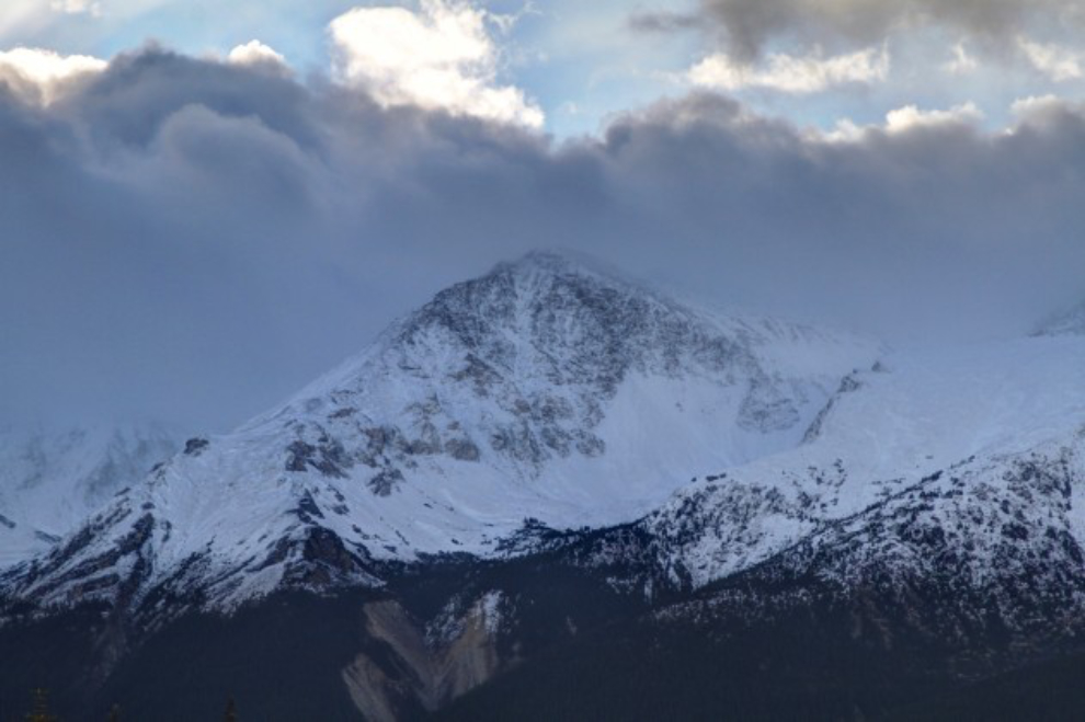
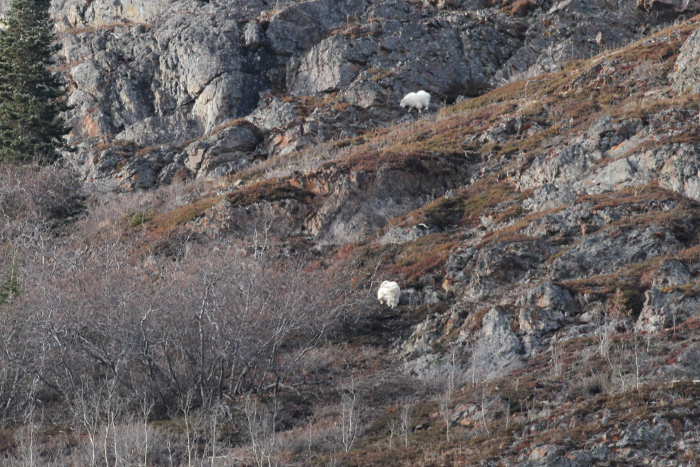
My new EF 100-400mm lens allowed a close look at the crags of Dail Peak. On the lower slopes, we saw dozens of Dall sheep and mountain goats.
The 1906 Venus silver mine workings, seen from the highway with the long lens.

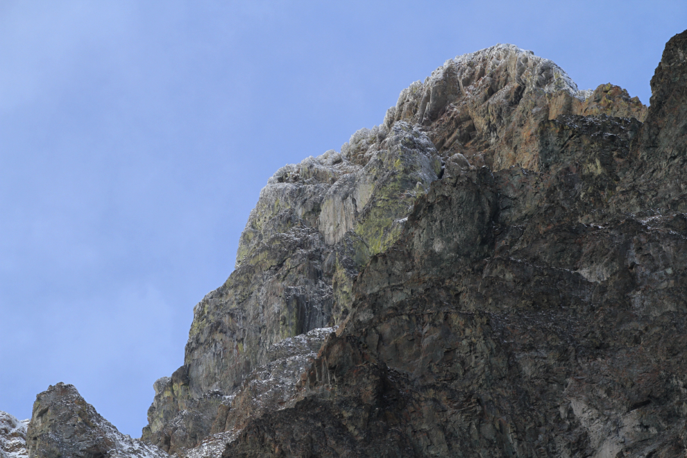
At Pooley Canyon, there were more mountain goats, these one slow enough to get decent photos of. In total, we saw nearly 60 Dall sheep and mountain goats in about 15 minutes.
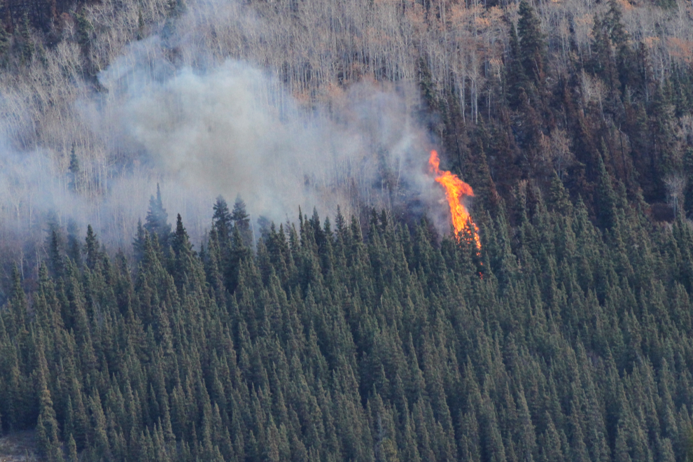
Just before we reached the Bove Island viewpoint, a hot spot from the Windy Arm wildfire flared up. I find it quite incredible that it’s still going after almost months, especially with the rain we’ve had recently.
That turned out to be a wonderful day – the weather was a minor issue. The weather forecast is calling for a few more warm, sunny days, so we just may get out again before the white stuff starts to limit our options.