Wandering in the wilderness, and discovering Bryant Lake!
I had intended to return to Mine Mountain just north of Skagway yesterday, to find what I remember as an easy way into the Inspiration Point Mine, but about 20 minutes from home, the list of things I’d forgotten got so long that I had to turn back. By the time I got my stuff together, I was 90 minutes late, and I knew that it would be long day, so I scrapped that idea.
I headed south again, though, with no particular destination in mind. I have no shortage of places that interest me, so figured that something would jump out at me on the way.
A couple of days ago, I was going through some prints from 2000, and came across photos of a lake that had been the water supply pond for the Venus Mine’s mill. It’s a beautiful spot and the access road was cut about 10 years ago, so that was my first stop. The first photo shows the earthen dam that raised what I assume was a small natural pond.
A newly-built beaver dam has raised the lake another foot and a half or so.
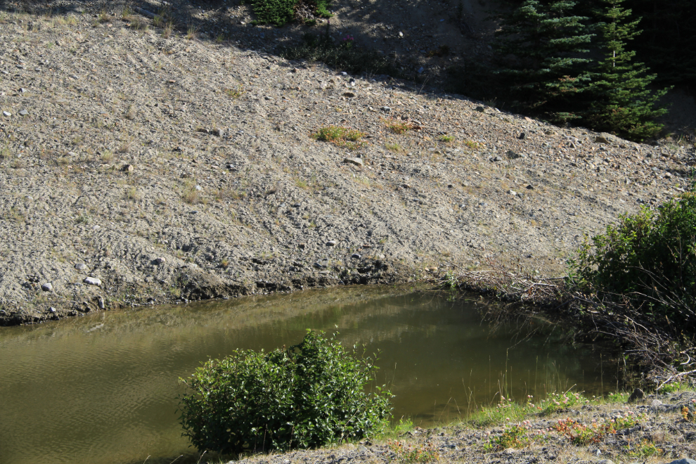
The pond is directly below, Tutshi Lake off to the left, and the South Klondike Highway between them. Nothing much has changed in the past dozen years, but it was a good start to the day.
Next, I hiked in to the Tutshi River again. This short hike had two purposes; first, one last attempt to find my lost SPOT, but also to wade across the overflow channel to explore the island it creates, and the rapids that can be heard beyond it. This is the waterfall where I lost SPOT, but from the much nicer island side.
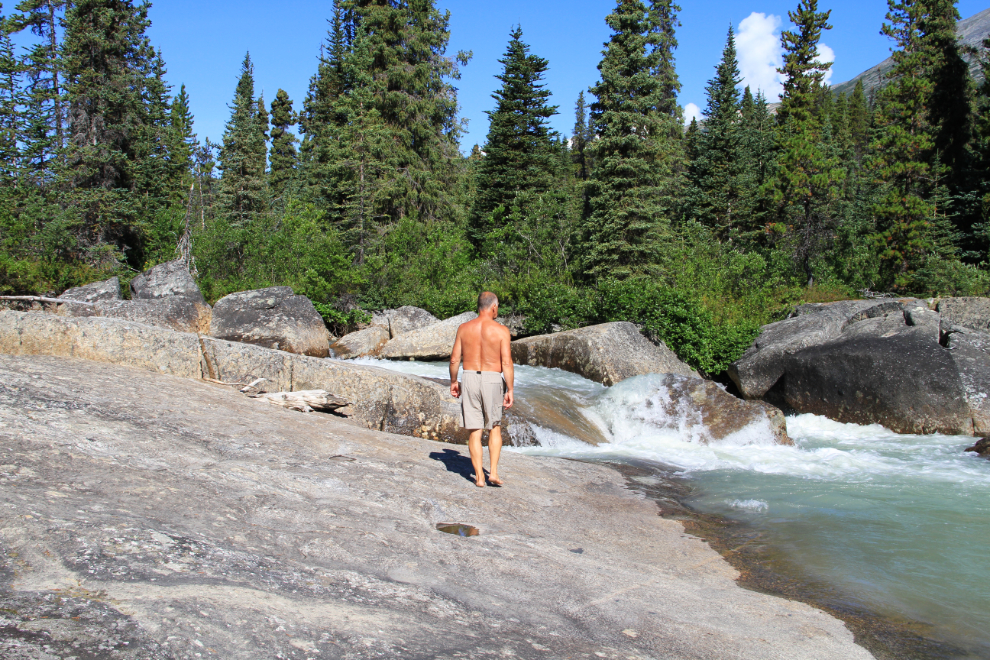
This is the rapids I hoped it would be. This is known as The Drop – I rafted it a few years ago with Tatshenshini Expediting, and it’s a very exciting trip. They said at the time that this is the highest commercially-run waterfall in North America. While it pales in comparison with what I rafted in New Zealand, it’s still an extremely good run.
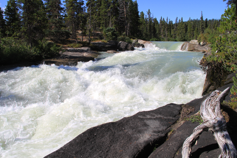
Waterfalls are so much better in person. I can’t take you there, but I did shoot a short video so you can hear the power.
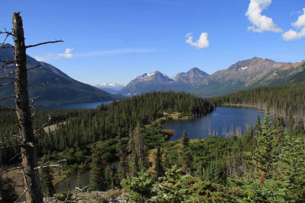
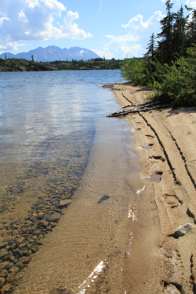
It was lunch time now, and I decided that a little beach on Shallow Lake, just north of Fraser, would be a good spot for my picnic. It can be seen from the highway, and a parking lot and trail used by the Tutshi River rafters makes access easy – it’s about a 10-minute walk.
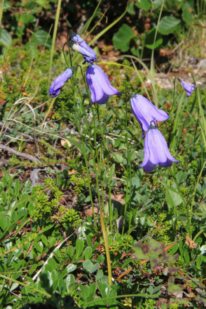
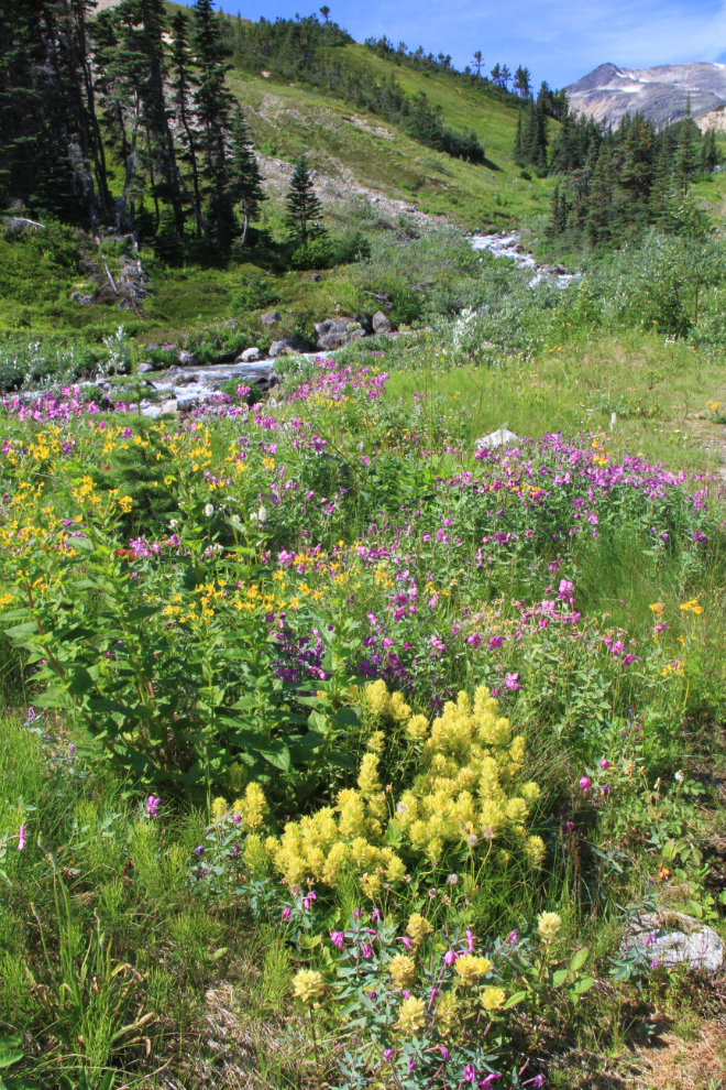
The flowers here were beautiful.
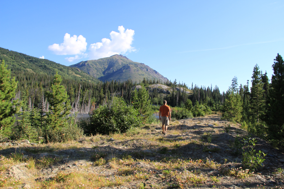
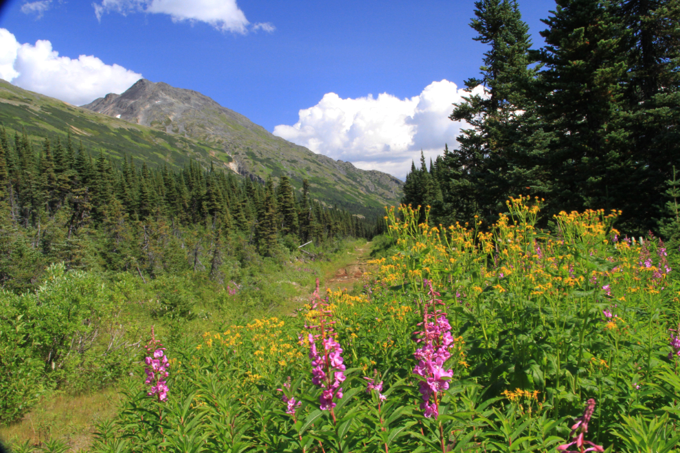
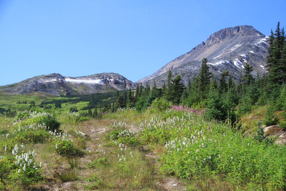
By now I was full of the Wilderness Spirit, and ready for a big adventure. I decided that Bryant Lake, a high-country lake above Fraser (some call it Fraser Lake) would be perfect. It was! I found a likely access point and started up, through the Fraser Highways Department gravel pit and then up a very old road with amazing wildflowers along it.
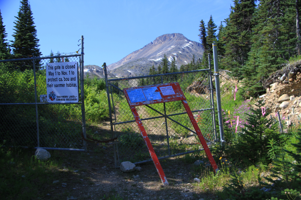
I stopped at this gate, read all the signs, and decided that it must be closed to ATVs, not hikers. There are maps posted at the gate showing that from the head of the lake, you’re very close to the Chilkoot Trail.
Every aspect of this hike – the weather, the mountains, the flowers, was stunningly perfect.
After the final edit, I have 173 photos from yesterday, and many of those are of wildflowers.
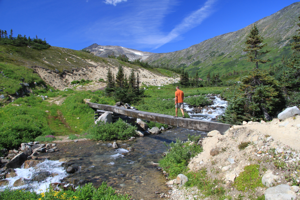
The best way to cross this creek is by walking across the plywood-encased pipe that takes drinking water down to the Highways and Customs camp at Fraser. It’s a bit wonky, but not too bad as long as you don’t have a fear of heights (Cathy would be wading across the creek!).
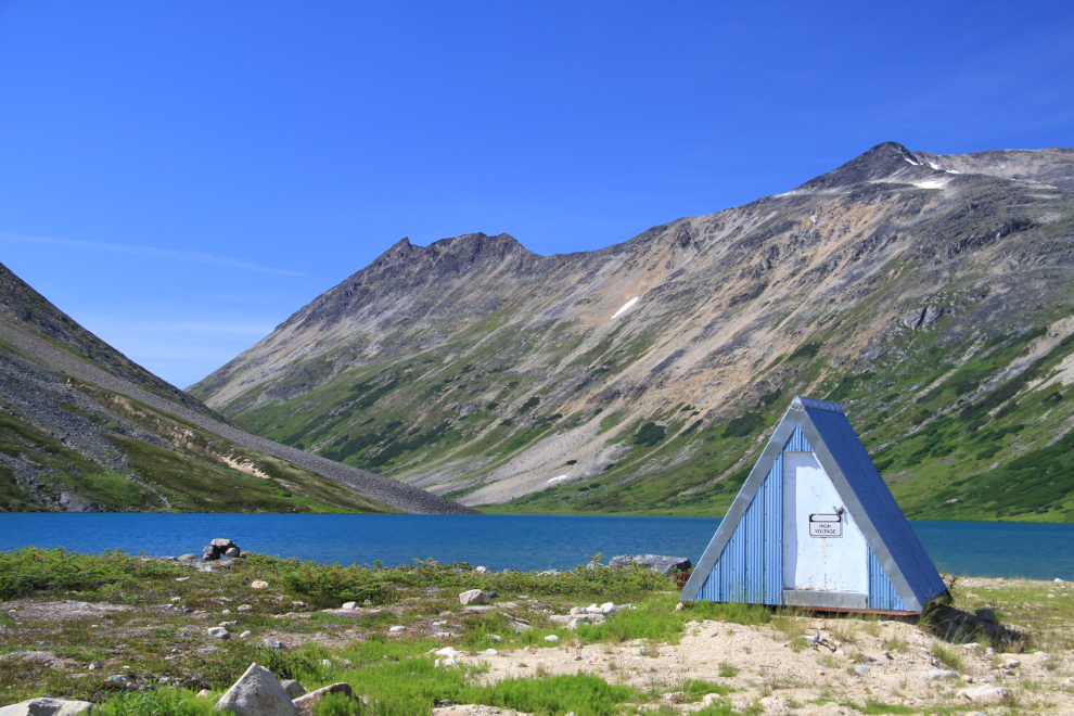
This little pumphouse is the only thing man-made at the lake. It took me an hour and 5 minutes to reach the lake from my car, making a lot of photo stops. Now what? Well, let’s find a route to the head of the lake!
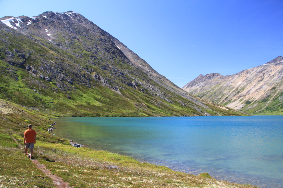
I certainly hadn’t expected to find a trail that’s this well travelled. I hadn’t gone too far before adding Fraser Lake to the list of the most beautiful places I’ve ever been. Absolute silence and solitude, with the purest water anywhere to enjoy as you wish.
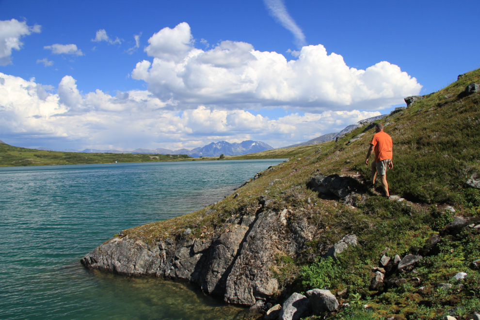
The trail got less and less distinct as it progressed, and it disappeared across a couple of rock slides and in areas that probably had snow until very recently. Only 50 minutes from the lake’s outlet, though, the head of it was close.
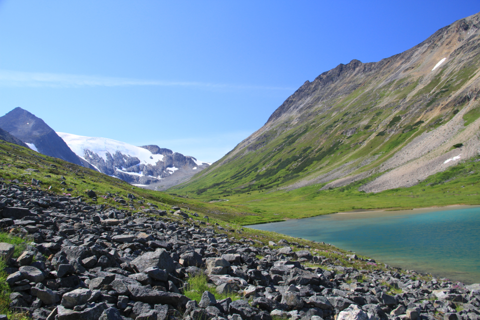
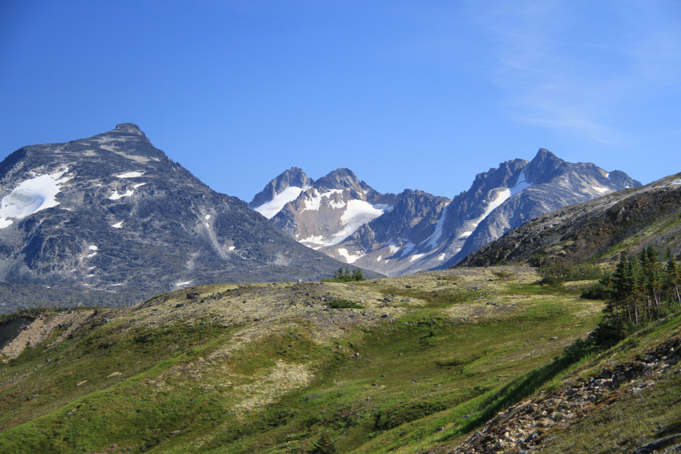
The lake sits at an elevation of 3,575 feet, which is 50 feet higher than the summit of the Chilkoot Trail. I wanted so badly to be able to keep going up this lush valley!
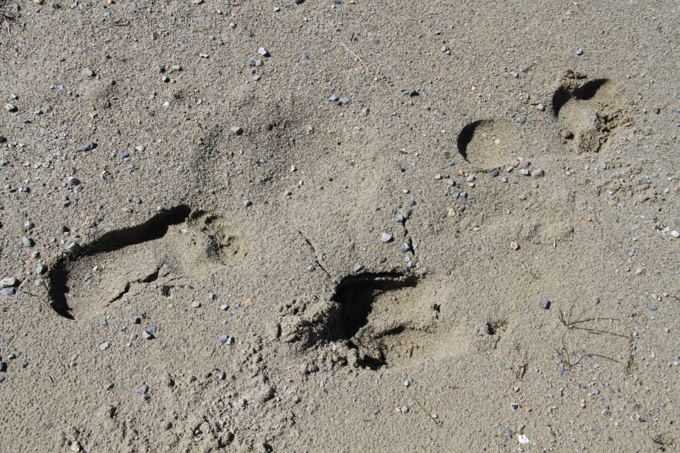
There were fresh caribou tracks across the sandy beach.
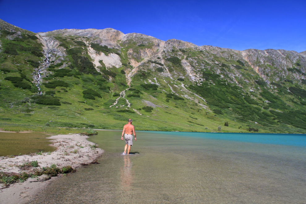
OMG what a spot! The large area of very shallow water had warmed up nicely.
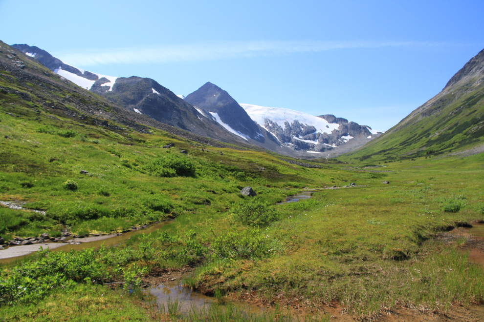
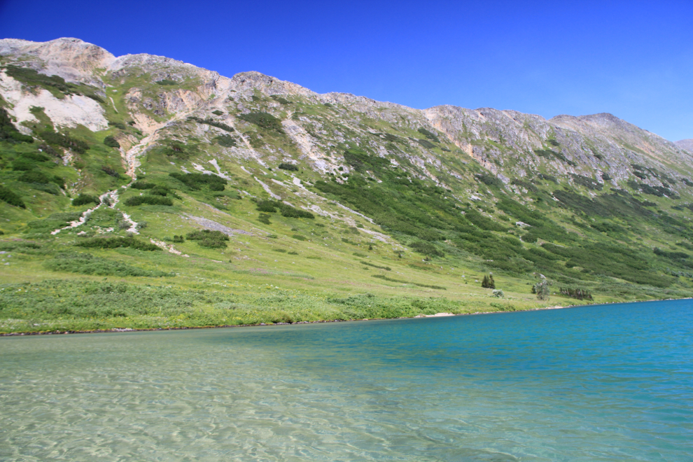
The mountains on the north side of the lake have a good-sized waterfall thundering down them.
All too soon, I had to turn back 🙁
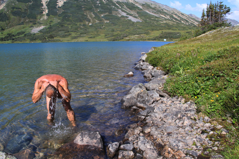
It was very warm, perhaps 25°C (77°F), and I stopped a couple of times to cool off.
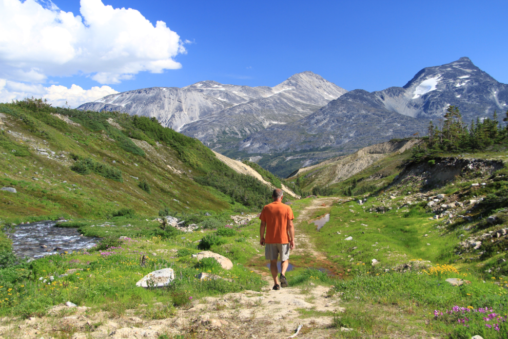
Starting back down into the White Pass from the lake.
The options for wandering are infinite!
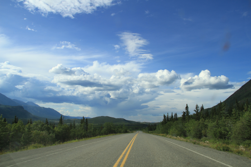
I got back to the car at 5:30 pm, finished off the lunch I’d packed (but hadn’t taken to the lake), and headed home. Just north of Carcross, the skies at Whitehorse didn’t look very welcoming, and heavy rain hit me a few minutes from home.
If ever I needed reinforcement of the idea that spur-of-the-moment trips can be great, yesterday certainly provided it. As I sit here writing, I’m still quite overwhelmed by Bryant Lake, and I’m trying to figure out how I can get back up for a couple of nights camping before this summer is gone.