Hiking the Lower Dewey Lake Trail at Skagway
With good weather continuing, I’m still not spending much time at home, so I’m getting further and further behind with my postings here (as well as a few other projects). I got up at 1:00 to watch a good Northern Lights show this morning, and decided to just stay up and work on telling you about last Thursday, when Monty and I went to Skagway and, among other things, hiked up to and around Lower Dewey Lake. The weather forecast wasn’t great, but I had some important stuff to pick up at the post office in Skagway, so went anyway.
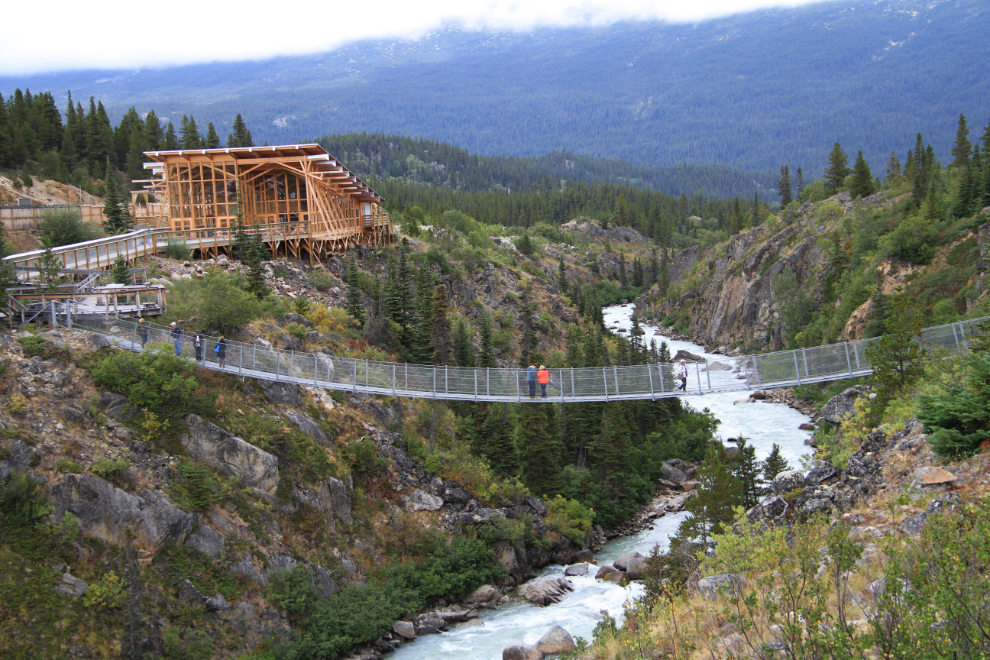
On the way, I stopped at the Yukon Suspension Bridge to meet the new manager, Kim Fletcher, and to see what changes are happening at the facility. For me, the best change is the construction of a new deck that offers this view, which is the best view yet.
Our tour got slowed down a few times by Kim’s adorable new puppy, Alice 🙂 Even in a normal world, Alice would stop people, but that’s especially true when everyone you meet is away from home and many are missing their own dogs.
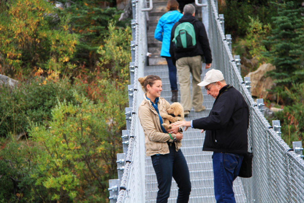
The people who buy my guide to the South Klondike Highway get a discounted admission to the suspension bridge, and I met a family there who had a copy. It’s always fun to pose for a photo for them.
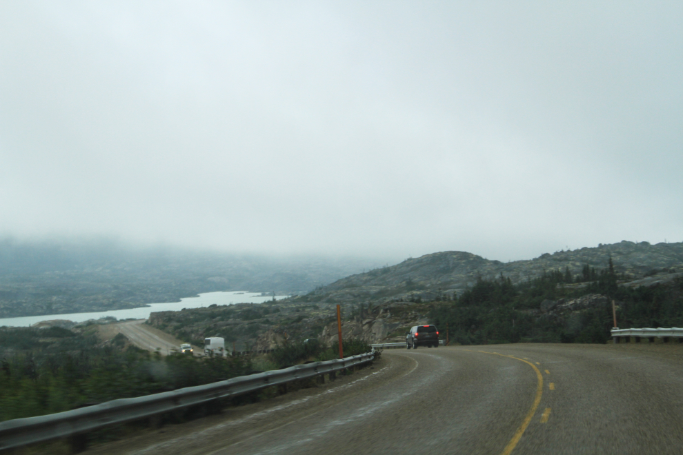
Continuing south, I drove into the clouds from a few kilometers around the White Pass summit. That wasn’t unexpected from the forecast I’d seen.
After picking up my package at the post office, I headed over to the trail access. It used to be a very informal sort of area, but a few years ago, a fence was built between the train tracks and Pullen Creek.
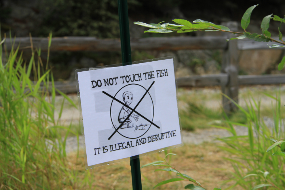
Pullen Creek is a salmon spawning creek, and it was loaded with fish. It’s illegal to touch the fish, but I only saw only small sign, and it was facing the wrong way for people to see it as they walk up to the creek.
Monty is fascinating by the fish, and we spent quite a while there. He doesn’t go after them, he just studies them, and sometimes has a sniff of a dead one – the look on his face always makes me wonder what he’s thinking.
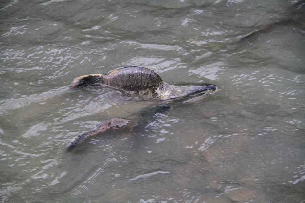
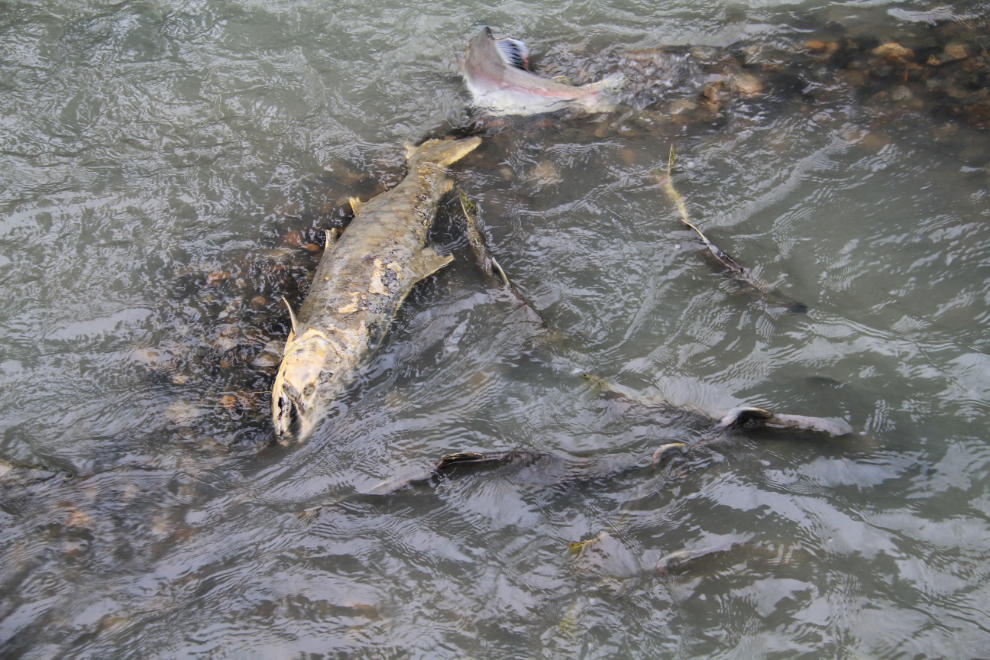
A video is probably better to show you what the experience is like, so I shot this 3-minute one.
This is the start of the Dewey Lakes trail system – town is to the left, the lakes to the right. Monty and I started up the trail a few minutes after noon Alaska time.
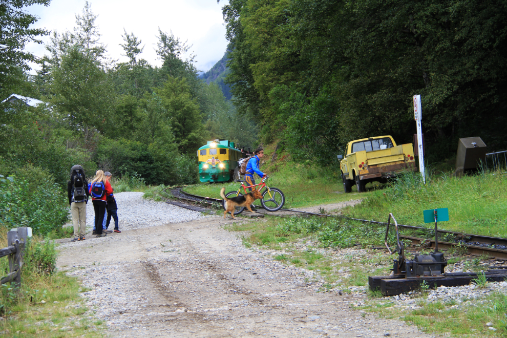
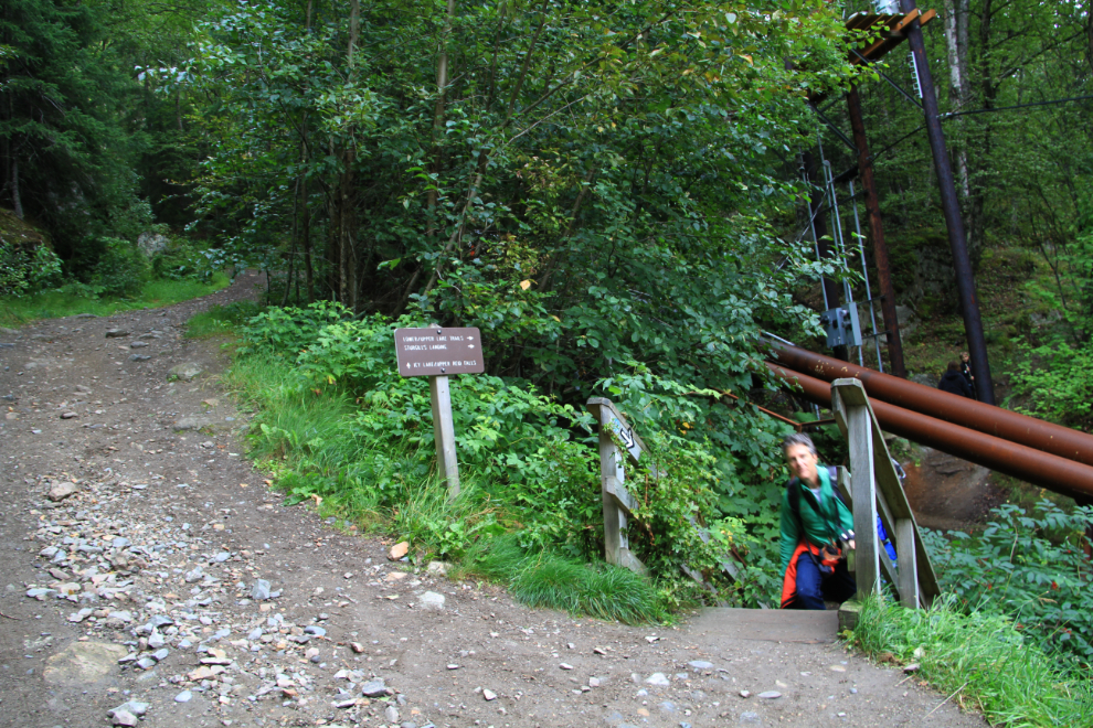
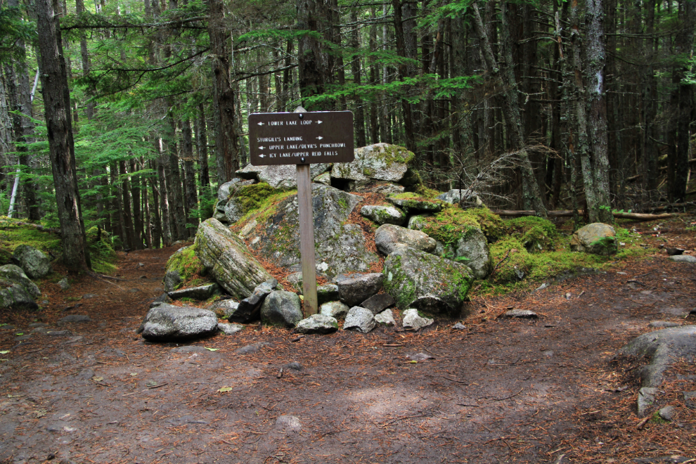
The trail starts off quite steeply, and a few hundred feet up, splits. Lower and Upper Dewey Lakes and Sturgill’s Landing are to the right, Icy Lake and Upper Reid Falls straight ahead.
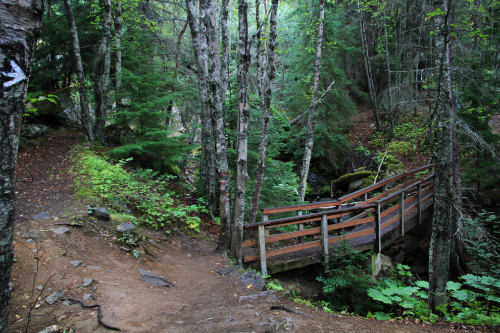
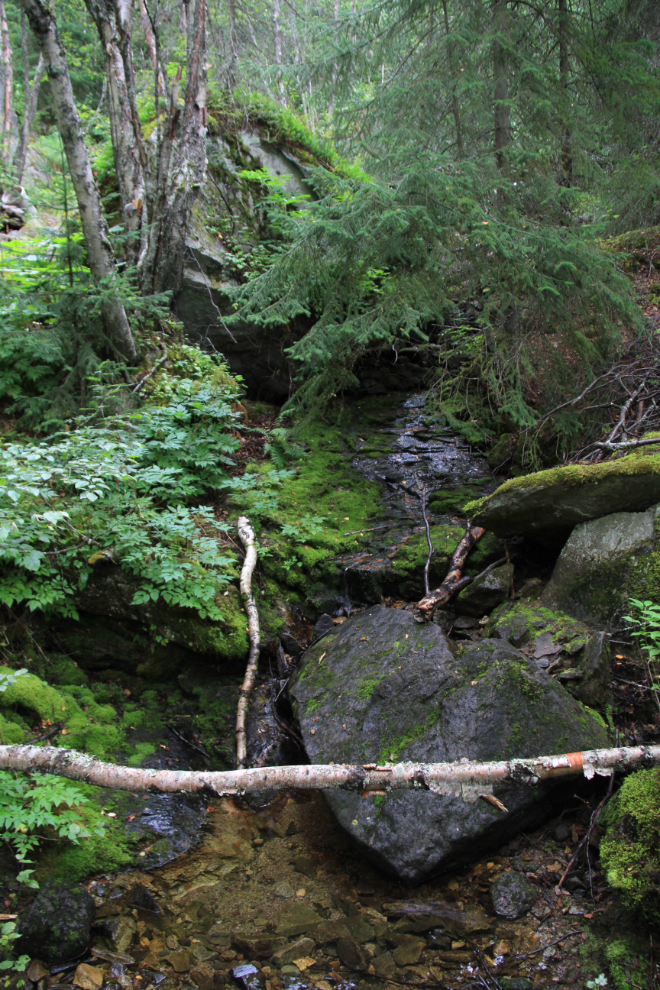
You may have noticed lately that forest trails aren’t generally my first choice (I hadn’t been on this one in many years), but I do love a coastal rain forest, and especially the creeks that run through them.
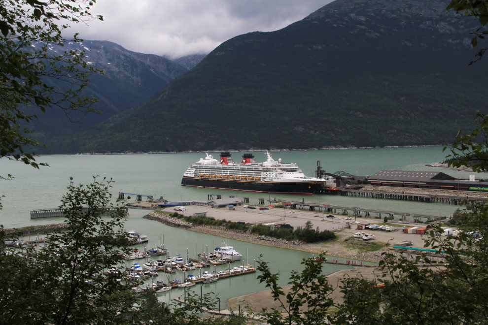
A rock outcrop allowed this view of the harbour and the cruise ship Disney Wonder.
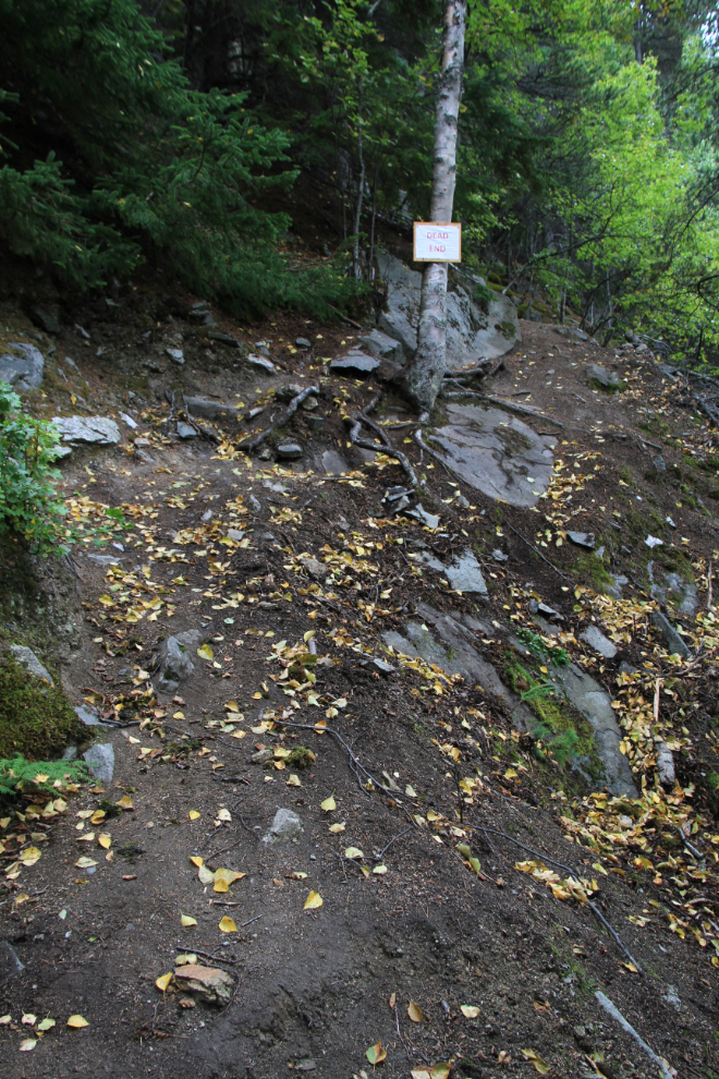
The route of the trail has changed a lot over the years – this old one is signed “Dead End”.
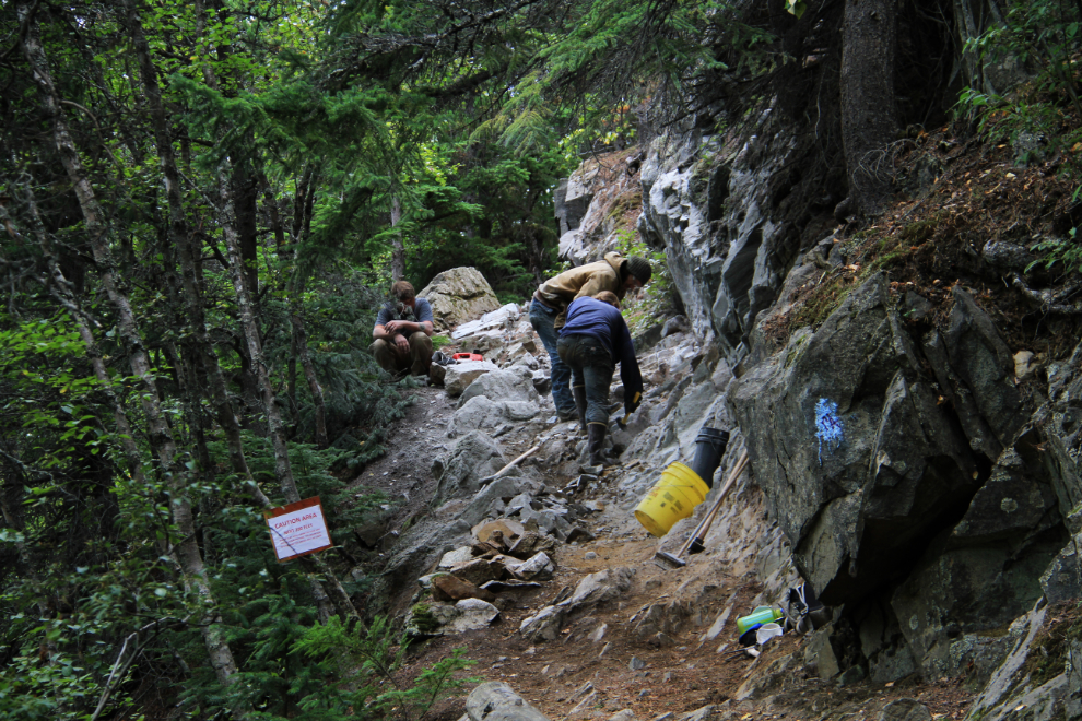
The trail is steep enough that many people soon give up. Just 10 minutes up, a crew was working on building steps up a granite outcropping.
Plenty of switchbacks help ease the grade, but hikers find out in a hurry whether they’re in as good a shape as they thought.
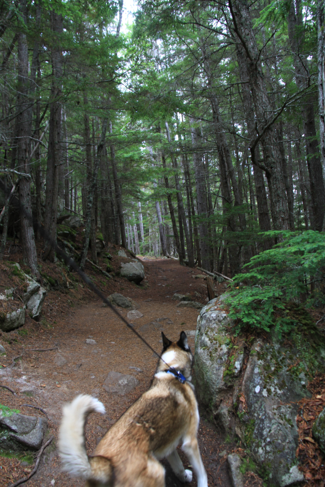
Monty is great on a leash when he needs to be (Cathy says so am I 🙂 ). This extendaleash allows him a fair degree of freedom when nobody is around, but allows me to quickly reel him in close when we meet people.
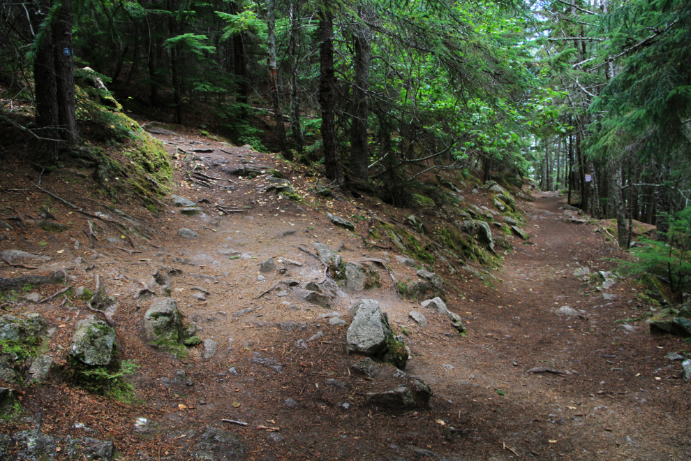
Lots of choices, 20 minutes up the trail.
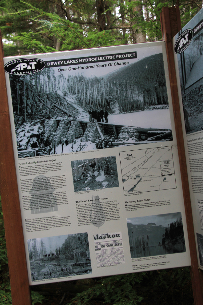
Just before reaching the lake, a couple of large interpretive signs do an excellent job of describing the history of the lake’s development.
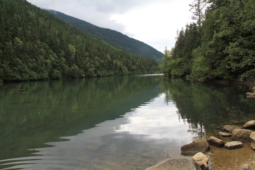
We reached Lower Dewey Lake at 12:30, less than 25 minutes from the start of the trail. And, of course, I made lots of photo stops.
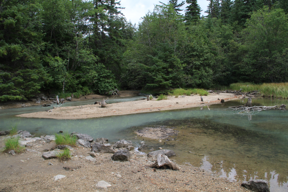
Looking back at the lake’s outlet from the same spot as the photo above.
We walked around the lake loop trail counter-clockwise, so started on the old road that was used during the dam construction in 1898.
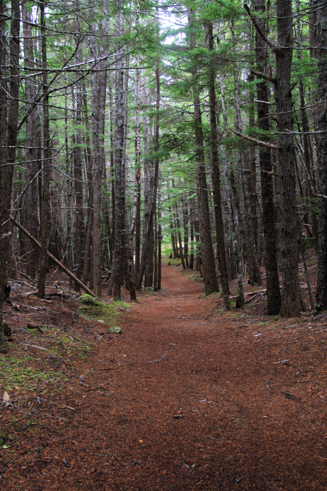
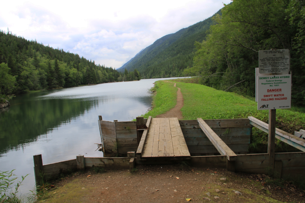
The trail goes along the top of the rock-and-earth dam at the south end of the lake. We reached here at 12:50.
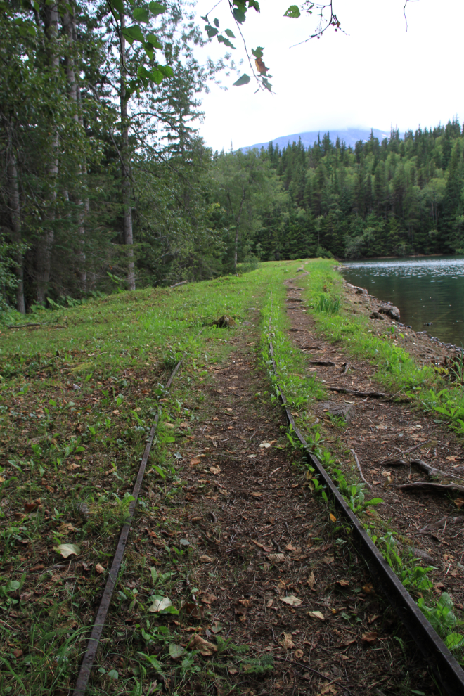
The railway that was used to haul material along the dam during construction.
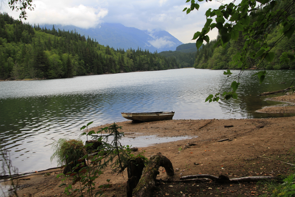
The main reason I hadn’t been on this trail in so many years is that I remember it as being crowded. We saw very few people, though, except on the first 10 minutes or so of the trail. The lake itself was very peaceful.
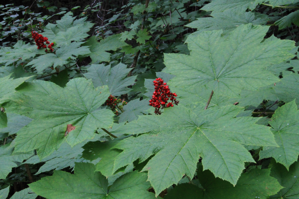
Devil’s club along the trail. Pretty, just don’t touch it!
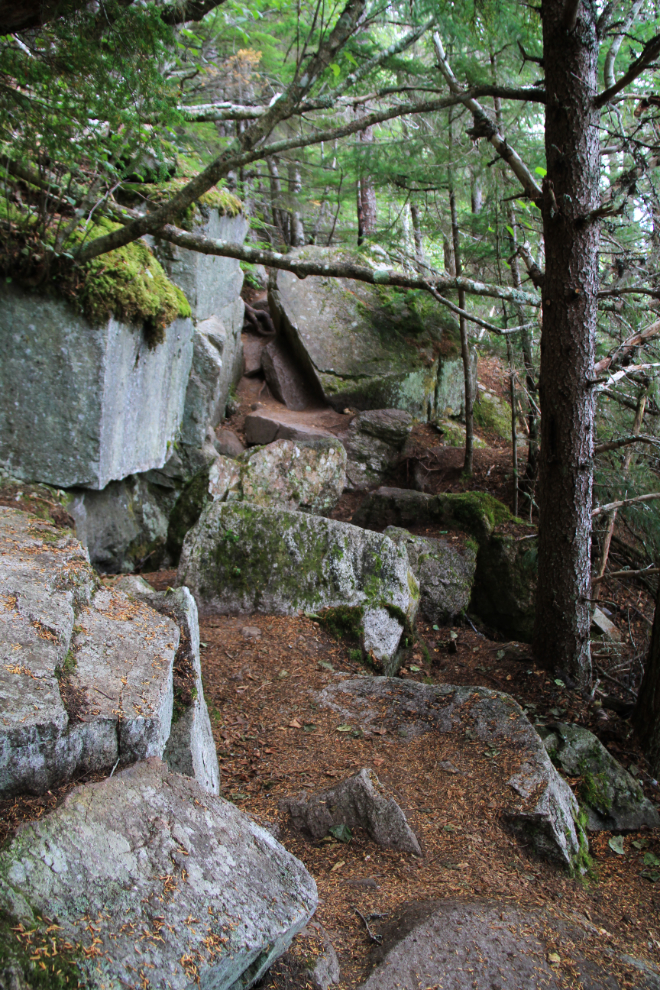
The trail on the east side of the lake is much rougher, including navigating a couple of large rock slides.
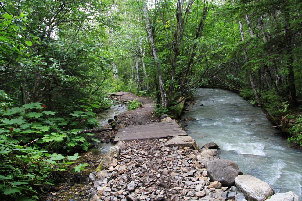
This pretty section of trail is near the north end of the lake, just before you finish the loop. This photo was shot at 1:23.
Going back down the trail was very quick – we were back at the car by about 1:45. It turned out to be an excellent hike, much better than I had expected. There are a few spots around the lake that would be great places to have a picnic on a hot day. Next year 🙂