Hiking 7 of the Canyons at Muncho Lake, BC: Part 2
I spent 5 days, from August 24-28, hiking 7 of the 14 main canyons located in the Muncho Lake area, between Km 726 and Km 697 of the Alaska Highway. In Part 1, I described the canyons at Km 725.6, Km 720, Km 718.4, and Km 716.8 (Boulder Canyon). In this post, the canyons covered are the ones at Km 714.9, Km 708.3, and Km 699.4 (I’m describing them from north to south, though that’s not how I hiked them). I had planned on spending a couple of days at Muncho Lake and then moving down to Summit Lake, but the hiking at Muncho is so superb that I stayed there.
Km 714.9 Canyon Hike
Late on Sunday afternoon (August 27th), I drove the Tracker 2 kilometers from the pullout where I parked the motorhome for 4 nights, to hike the next canyon to the south. The first photo shows the canyon access from the highway.
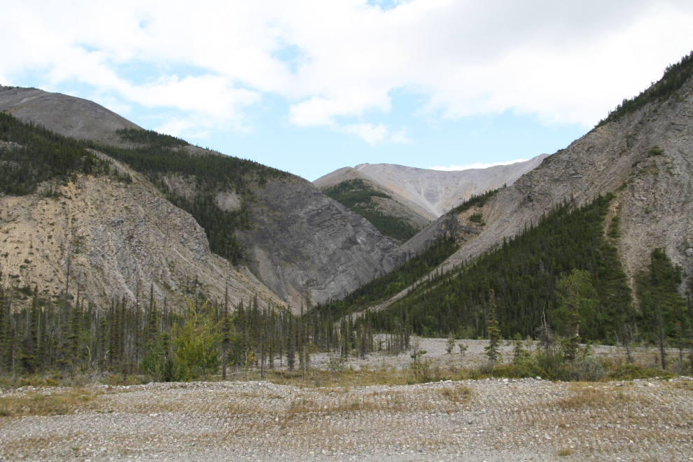
Looking back towards the highway. Berms force the creek into 3 channels – the one shown is the furthest south.
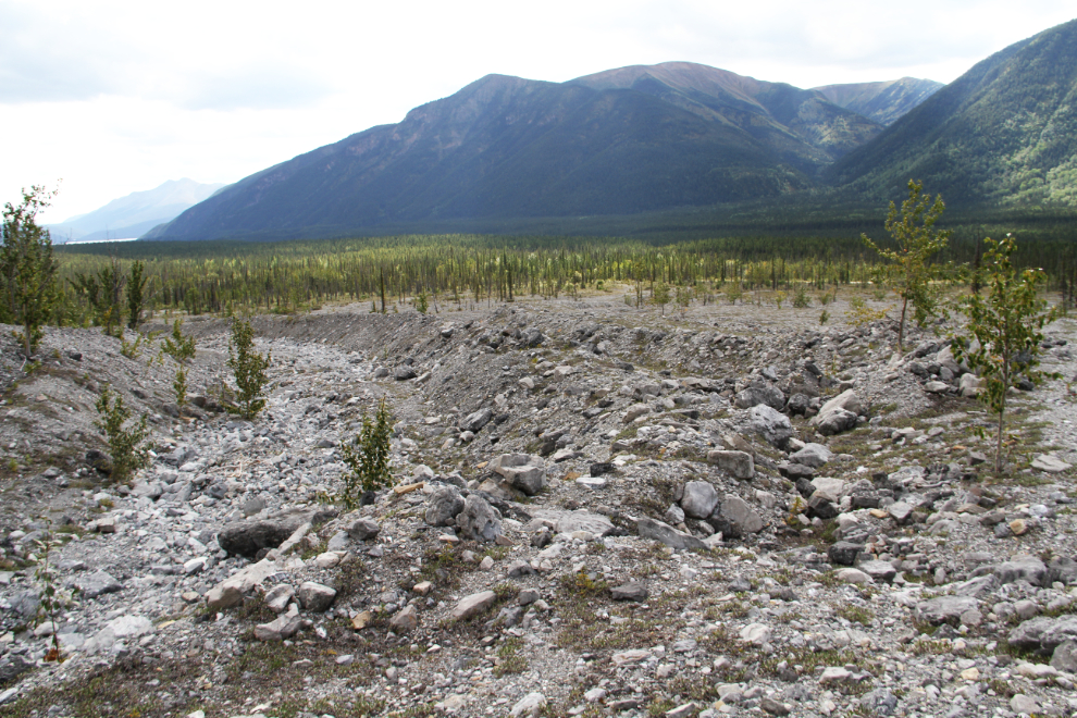
The weather continued to be very erratic, from heavy rain and cold wind to very warm sun. When I started this hike at 2:30, a very cold wind forced me to wear a jacket and toque, but as soon as I moved into the shelter of the canyons walls, it warmed up dramatically.
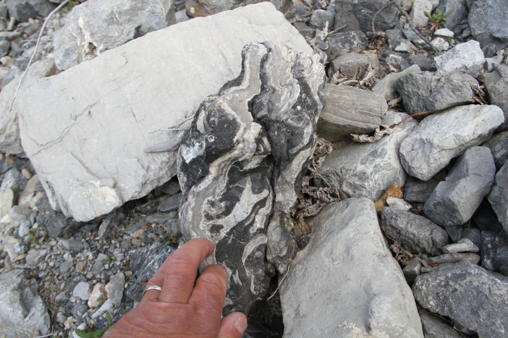
Strange and fascinating rocks are everywhere – these canyons are all a rockhound’s dream.
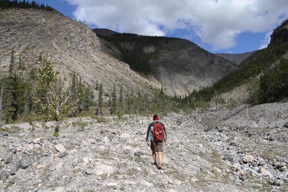
By the time I was 25 minutes from the car, the sun was out and it had warmed up nicely. A few trees had managed to survive the spring floods on the canyon floor.
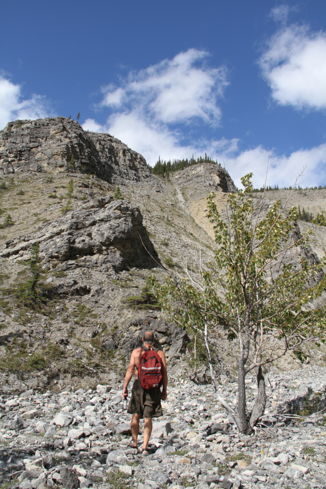
Five minutes later, the rough part of the canyon was just ahead.
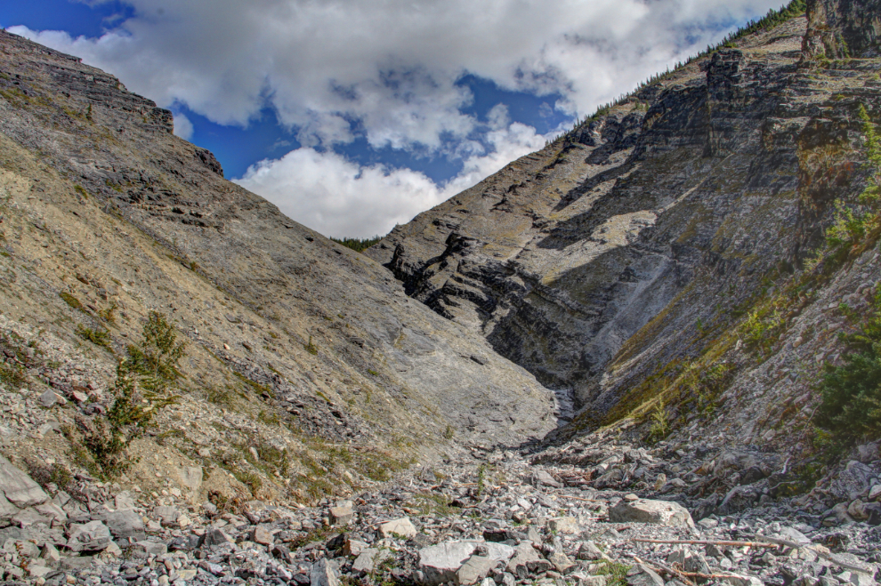
Neither Bella nor Tucker had expressed any interest in coming with me. That was clearly a good thing in this canyon – this is not dog-friendly country. Well, I suppose it’s not really people-friendly either, but… 🙂
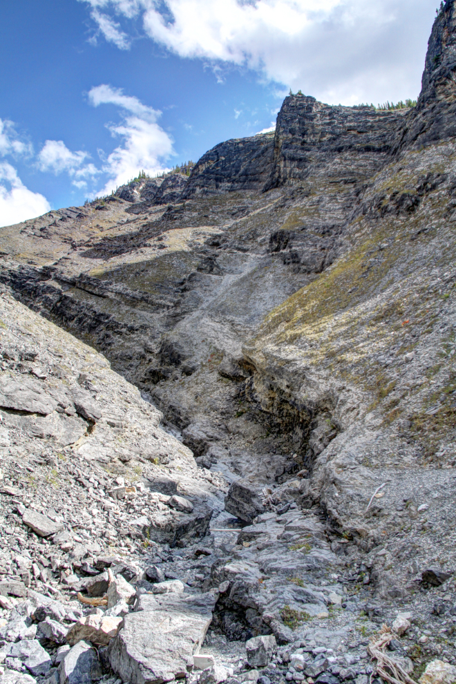
The Keen sport sandals that I wear for most hikes are wonderful on the slick rock that has to be navigated at many places in these canyons. Their grip made me feel like I had some Spiderman powers, but a couple of times, I went up slopes that were so steep that they were really scary to go back down.
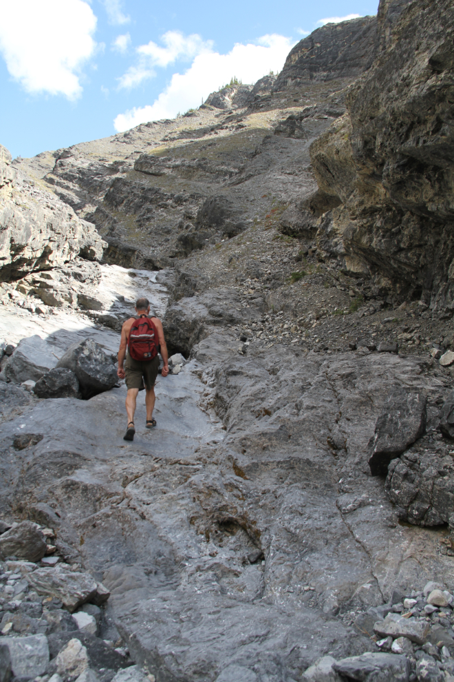
As in most of the canyons, there are some places that I really want to get back to see with water flowing. While navigating the canyons will be much more difficult, some of the waterfalls will be gorgeous.
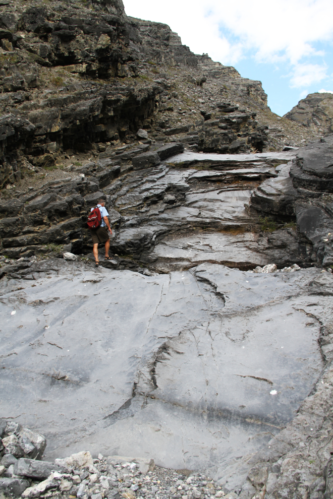
Almost an hour from the car, the route-finding was getting quite difficult at times. To get shots like this, I set up my tripod and run to the chosen spot.
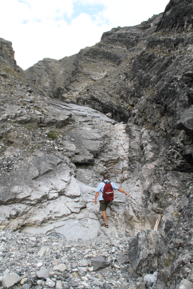
Five minutes later, I was almost ready to turn around, but wanted to see around one last corner just ahead.
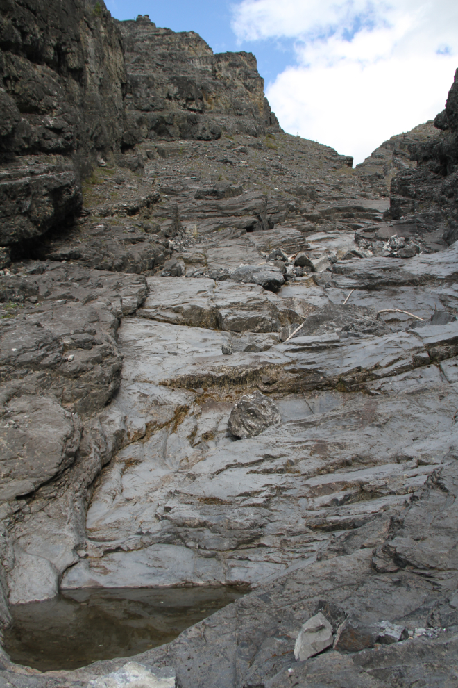
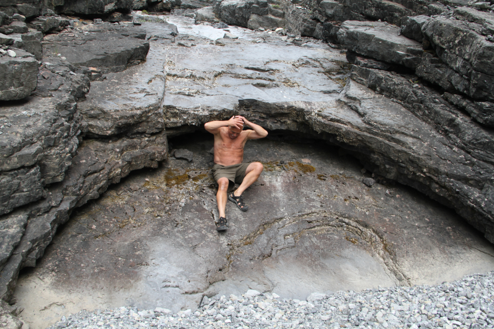
This is where I turned back. I was goofing around in the last photo from this canyon, imagining how wonderful a little waterfall would be here.
The aerial photos show that there is lots of great hiking in this canyon network. By the time I got back to the car, having a look at the start of it had taken an hour and 50 minutes.
Km 708.3 Canyon Hike
The last canyon we hiked, on Monday morning (August 28th) was the one just a few hundred meters/yards north of the Northern Rockies Lodge, where I’ve stayed a few times while on trips by car or truck. The alluvial fan below the canyon is massive, and the aerial photos show that it would take several days to explore the network of canyons accessed from it.
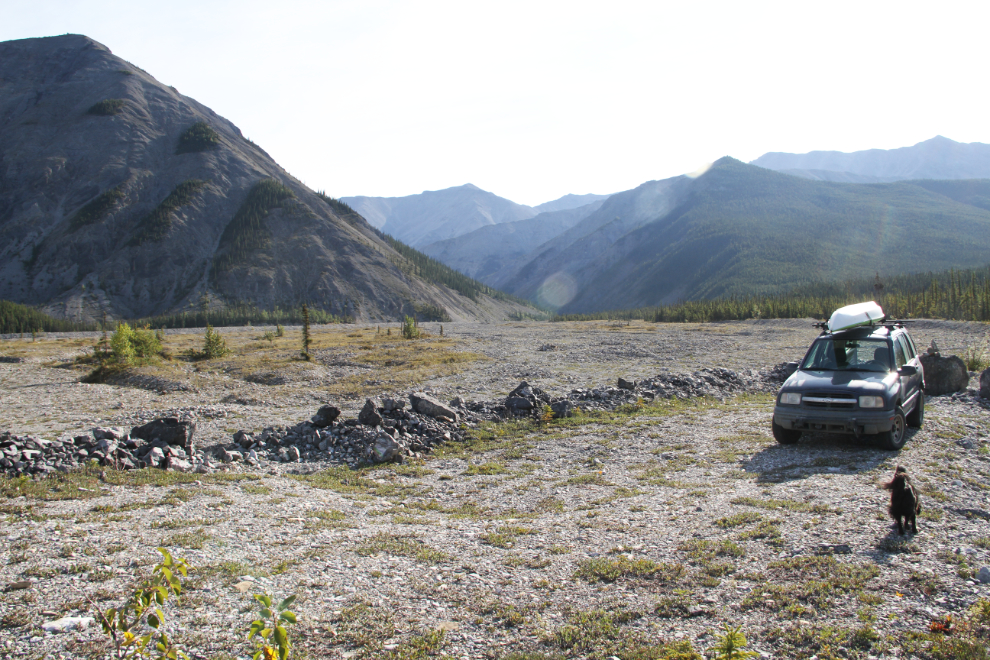
With lots of easy walking to start, I brought Tucker with me on this hike. Bella, though, was still hurting and she stayed in the motorhome.
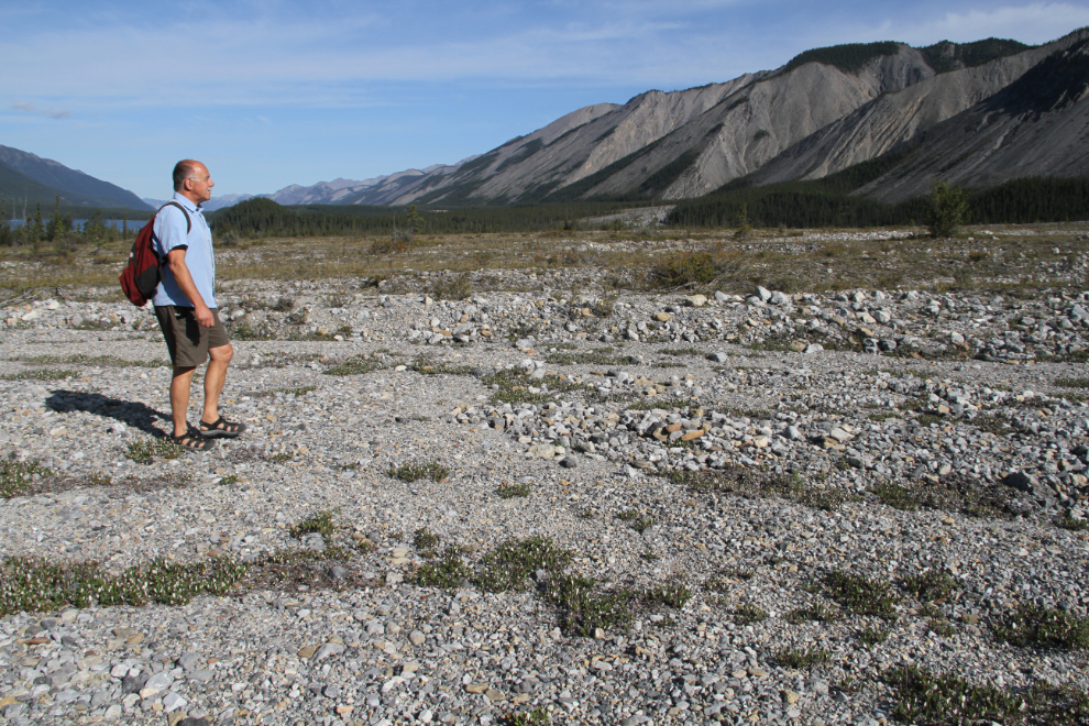
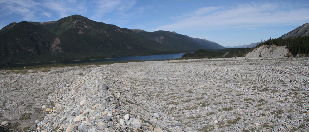
A look back towards Muncho Lake, across the huge alluvial fan. This panorama was created with two 18mm photos.
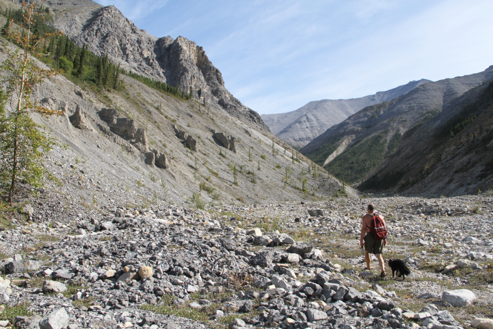
Fifty minutes from the car, we reached the start of the canyon, and a creek. Although I had brought water for Tucker, it’s always nice to have a creek so he can drink whenever he wants. Unlike Bella, he seldom goes into water without a good reason.
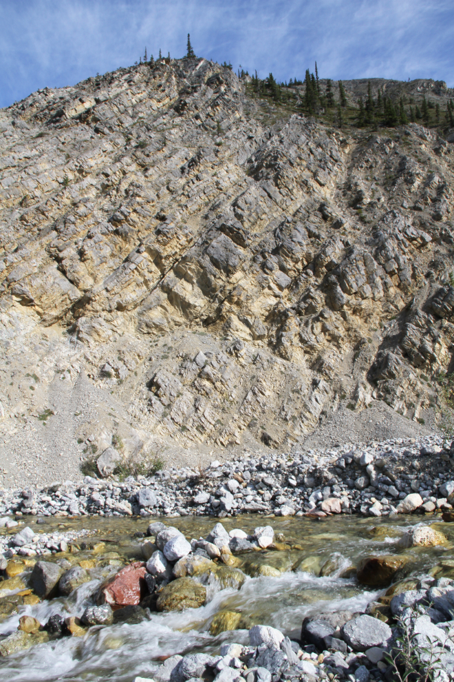
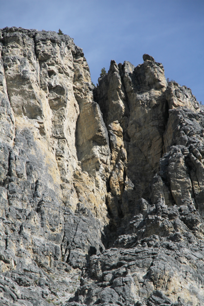
An hour and a half from the car, the walking was still easy, but some hoodoos and extremely impressive cliffs now towered above us. There was enough forest along the canyon that I was now carrying my bear spray in my hand, and for a few hundred meters, Tucker was quite freaked out by something in the forest, though I couldn’t see what he was upset about.
A telephoto look at the main tower of rock that soared hundreds of meters above us.
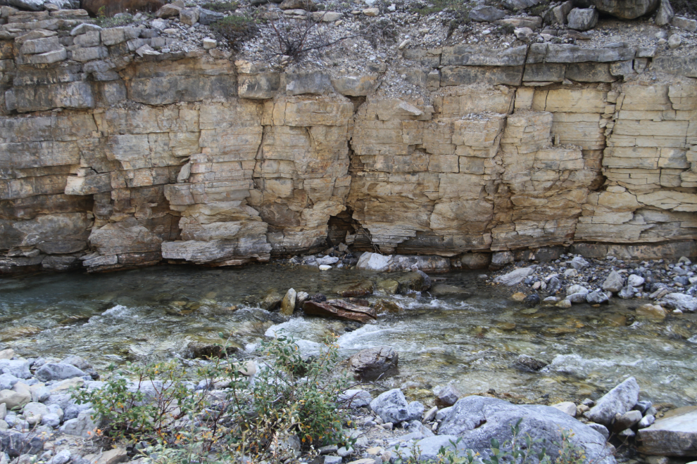
A look at some of the sedimentary rocks that the creek is cutting through.
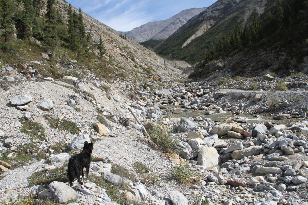
This is where we turned back, an hour and 50 minutes from the car. It didn’t look very dog-friendly from here on.
As we got back onto the alluvial fan, I saw another couple of hikers turn back. They were only the second pair of hikers I had seen on the 7 canyon hikes.
Km 699.4 Canyon Hike
For our morning canyon hike on Sunday, August 27th, I drove 17 km south from the motorhome to the south end of Muncho Lake. We seldom get to the trails/canyons early – the sun didn’t hit the motorhome until 08:55, when we go for our second short walk of the day where we parked. So we began this one at 10:00.
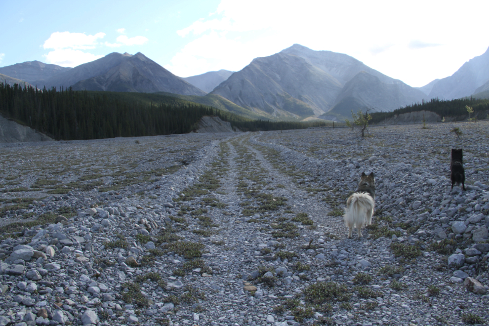
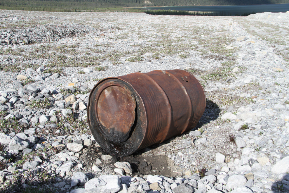
Aerial photos show that it’s about 2½ kilometers (as the crow flies) of fairly easy walking along the alluvial fan and creek bed before it narrows and gets rougher. The old fuel barrels that have been washed down, probably from an old mining exploration camp, were surprising and disappointing.
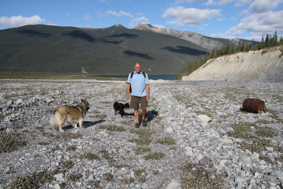
I posted this photo and information about it on the BC Parks Facebook page, and they quickly responded that they had passed the information on to the area supervisor. It would be a shame to see a grease barrel reach the lake.
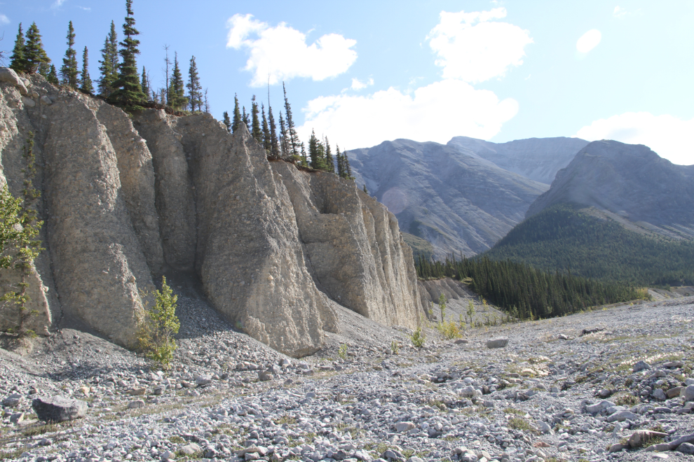
There’s an impressive wall of conglomerate rock and gravels about 35 minutes from the highway.
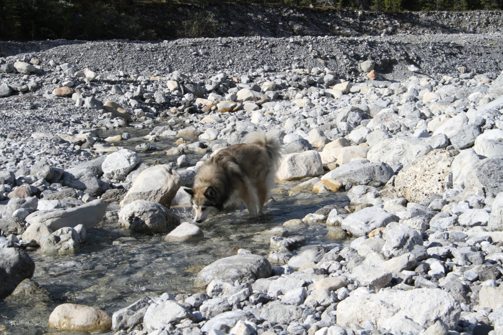
About 10 minutes past the cliffs, a creek appeared, and Bella was in it right away, with a big grin on her face! The creek vanished into the gravel long before reaching the lake.
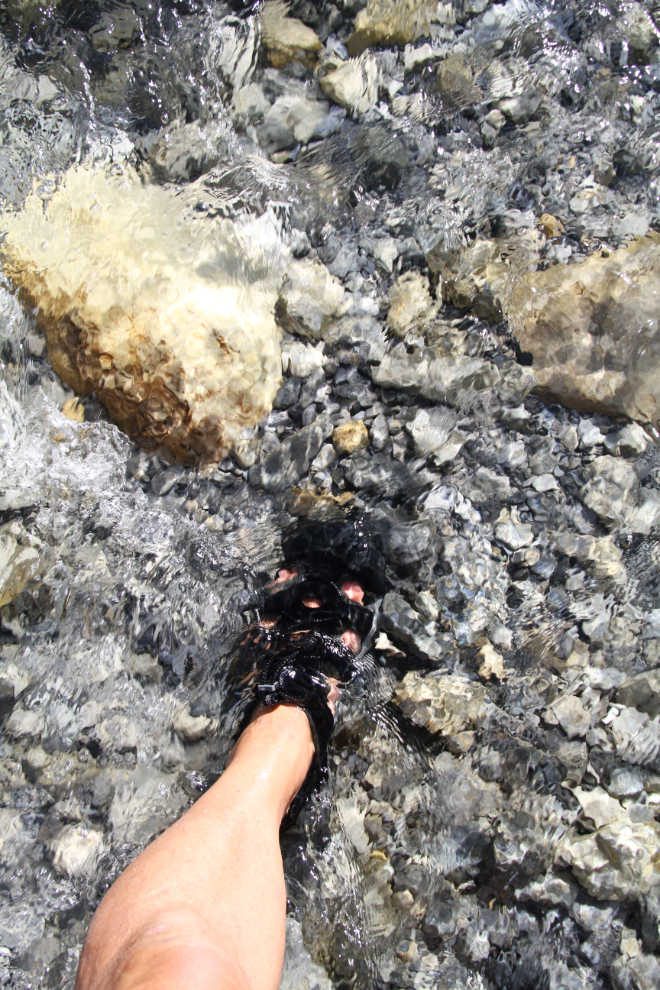
This is one of many reasons that I love my Keens – I can walk back and forth across creeks all day. The creek in this canyon was deep enough in places that I carried Tucker across.
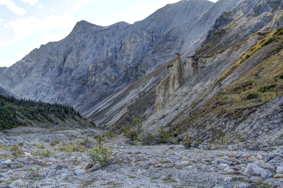
About 2½ kilometers and 55 minutes from the highway, a side canyon joins the main one. This panorama was created from three 18mm photos.

We only walked for another 10 minutes, and then it got too rough for Bella so we turned back. She’d been a trooper but I know that she hates walking on rocks.
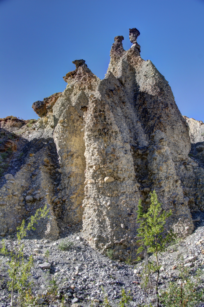
There’s a wall of spectacular erosion pillars (hoodoos) on the opposite side of the canyon from where the side canyon joins. I’d guess them to be a good 30 meters (100 feet) high.
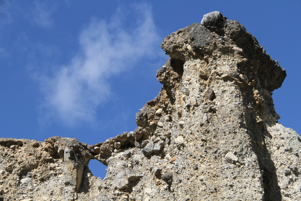
Another look at the wall of conglomerate, which even has a window!
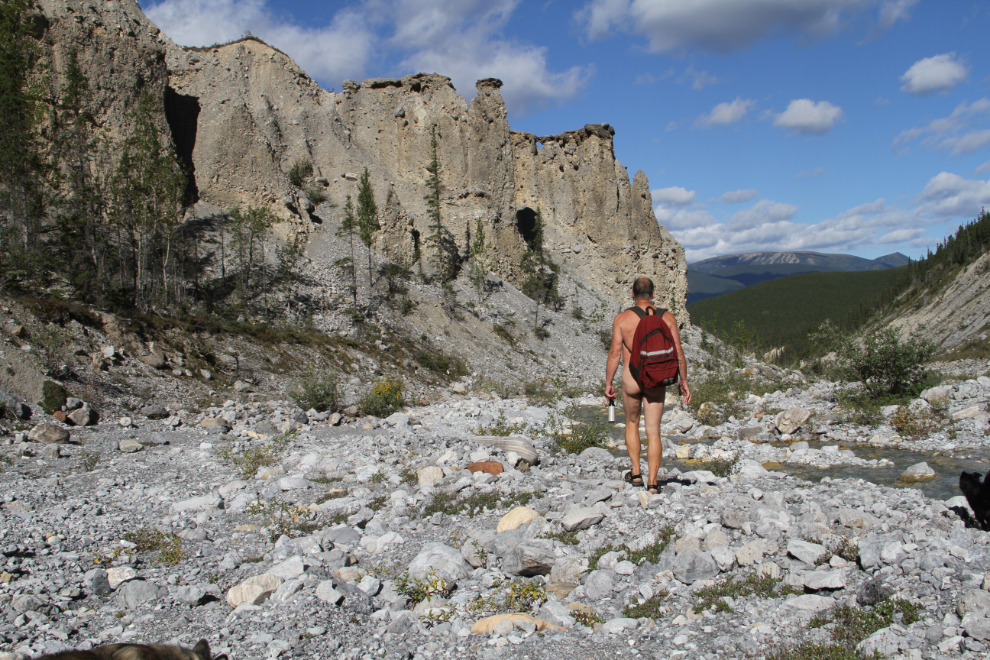
I love being able to hike as comfortable as possible in places like this where there’s virtually no chance of meeting anyone else. We didn’t get as much sun as I’d expected from the weather forecast, but I made use of every ray that arrived 🙂
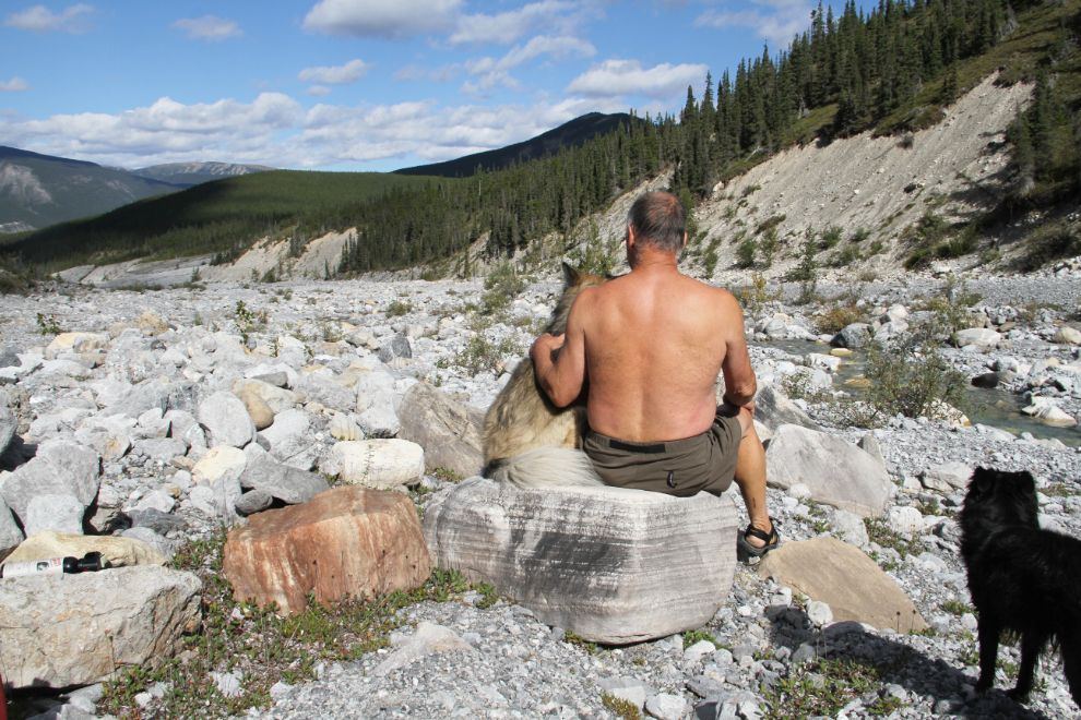
Relaxing with the kids and enjoying this magnificent place.
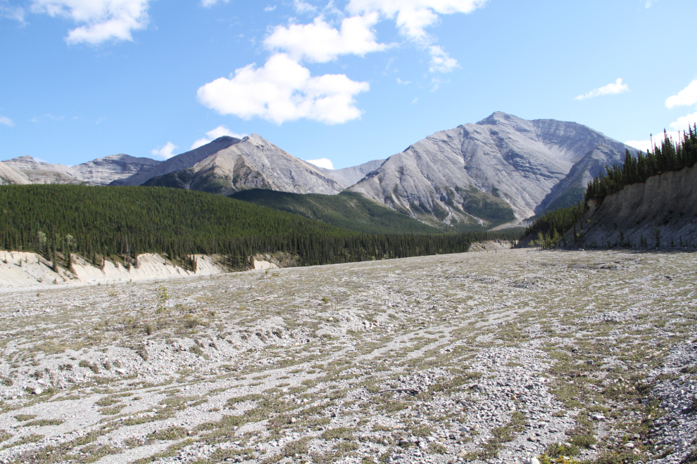
A look back at the canyon as we neared the car, 2 hours and 50 minutes after leaving it.
Well, that’s all the canyon hiking covered. But we did other exploring in Muncho Lake Provincial Park, and I’ll do up a short post to tell you about that.
