Touring Haines – Haines Junction – Whitehorse
This is the second of 2 posts describing my 4-day tour of the Golden Circle Route from Whitehorse to Skagway, Haines, Haines Junction and back with tour company Road Scholar.
Saturday began cold and wet – this was the view from my room at the Captain’s Choice Motel at 05:54am. I Skyped with Cathy and she said that it was a beautiful morning in Whitehorse, so Julie and I had breakfast, searched unsuccessfully for a store with Native art (one that was open, that is), and then headed north towards the sunshine, on the Haines Highway.

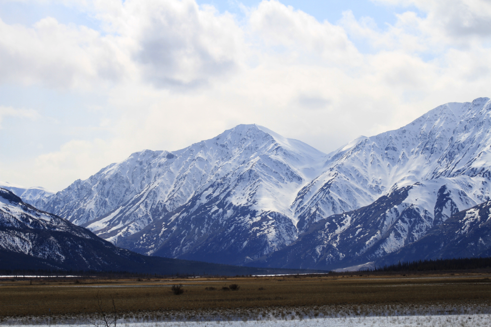
I didn’t make any photo stops until just past the Haines Summit. The colds were low, blocking all the glacier views, and shortly after the quick and simple crossing back into Canada, it began snowing quite heavily. The clouds started to thin a bit just before the Summit and Julie managed to get a photo of the dramatic Three Guardsmen through the mist.
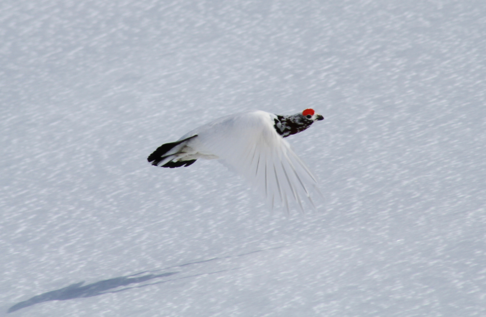
Just past the Summit, we met many Willow ptarmigan, and I was able to capture this one flying away from us.
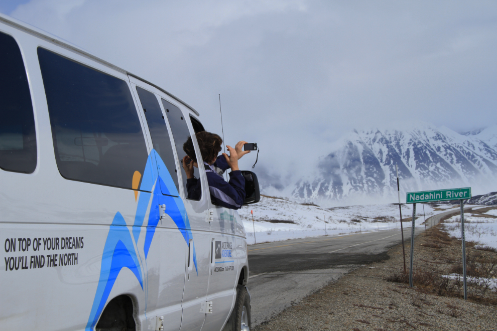
A strong wind made it very cold through the pass, but there were still some good photo ops.
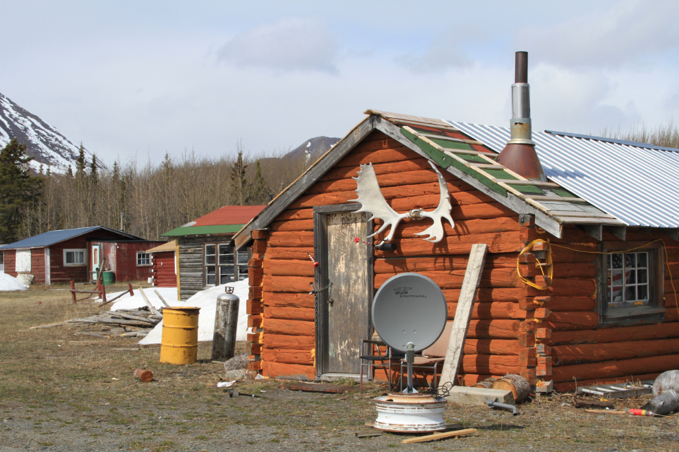
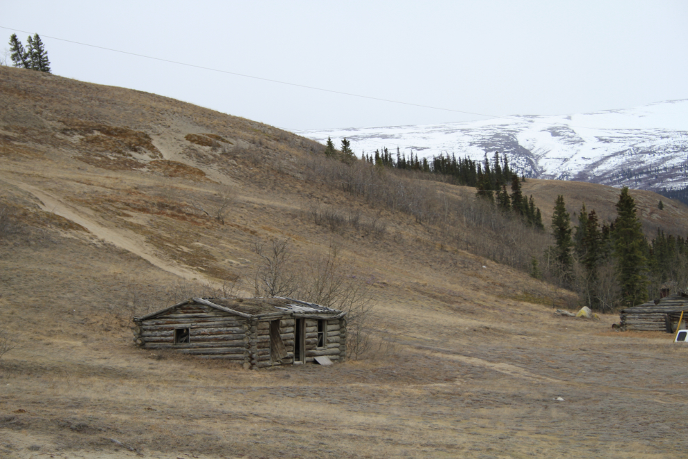
This whimsical sign at a road leading to a group of cabins was worth a stop 🙂
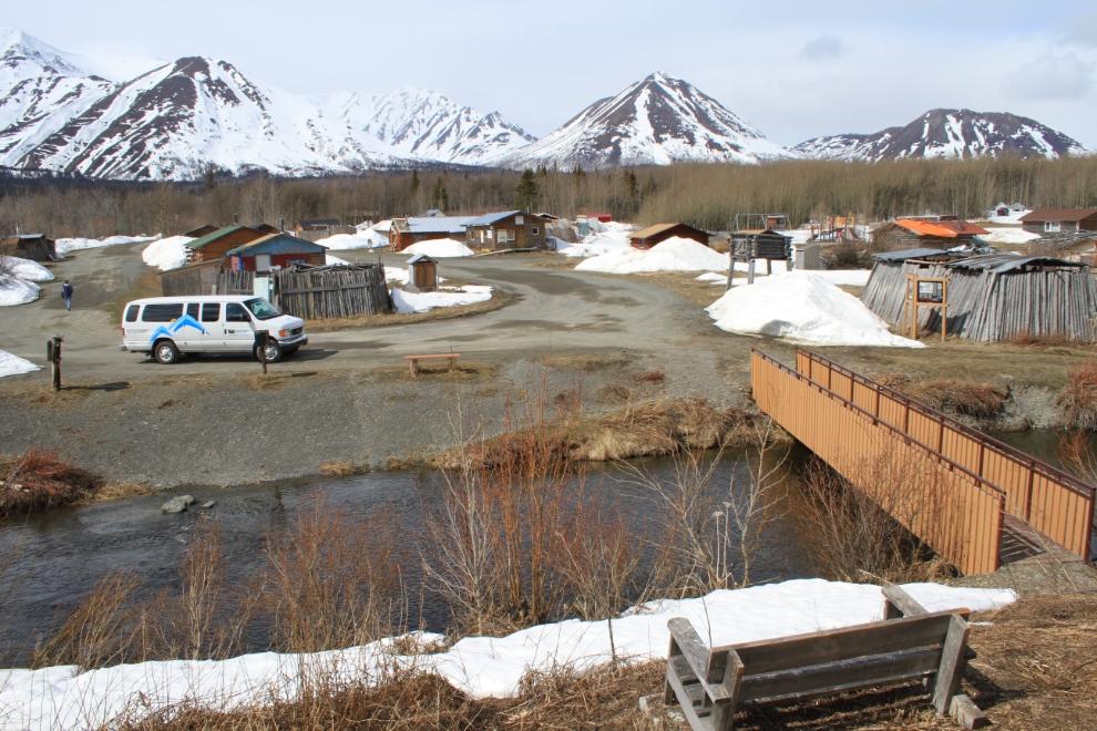
One of the cabins in today’s Klukshu – fish all day, watch satellite TV at night.
We had planned to do some hiking along the Haines Highway, but all of the trails were still deep in snow, so Kathleen Lake was our next stop.
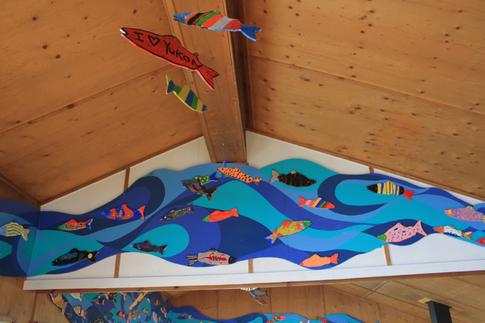
The picnic shelter at Kathleen Lake has been brightened up by these fish/water murals.
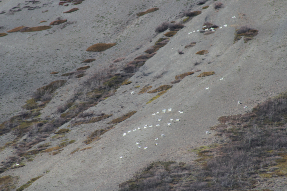
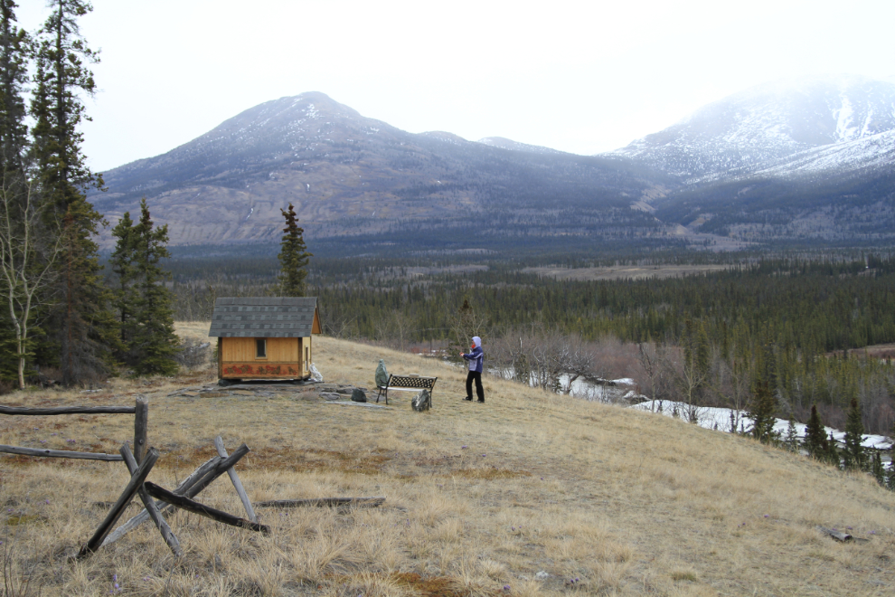
We had planned to reach Haines Junction around dinner time but after making few stops, decided to head west to Sheep Mountain and do the hike planned for tomorrow morning. The Tachäl Dhäl (Sheep Mountain) Visitor Centre was still closed, but there were lots of Dall sheep visible on the sunny slopes.
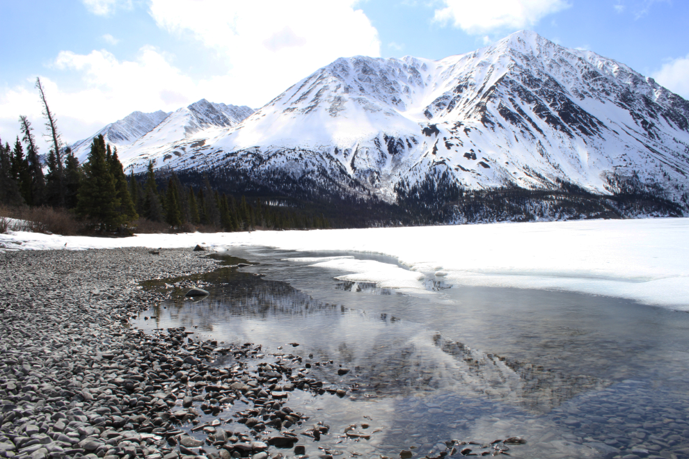
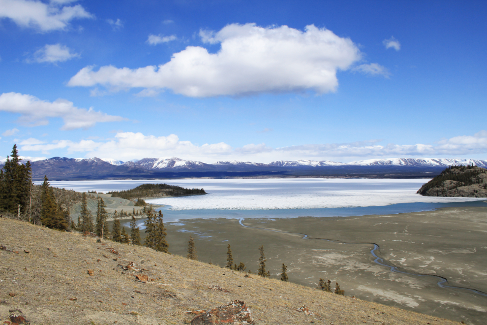
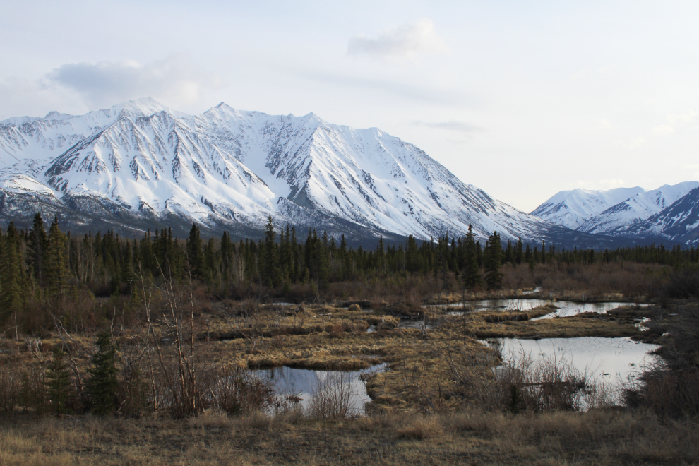
The view up Slim’s River from the visitor centre.
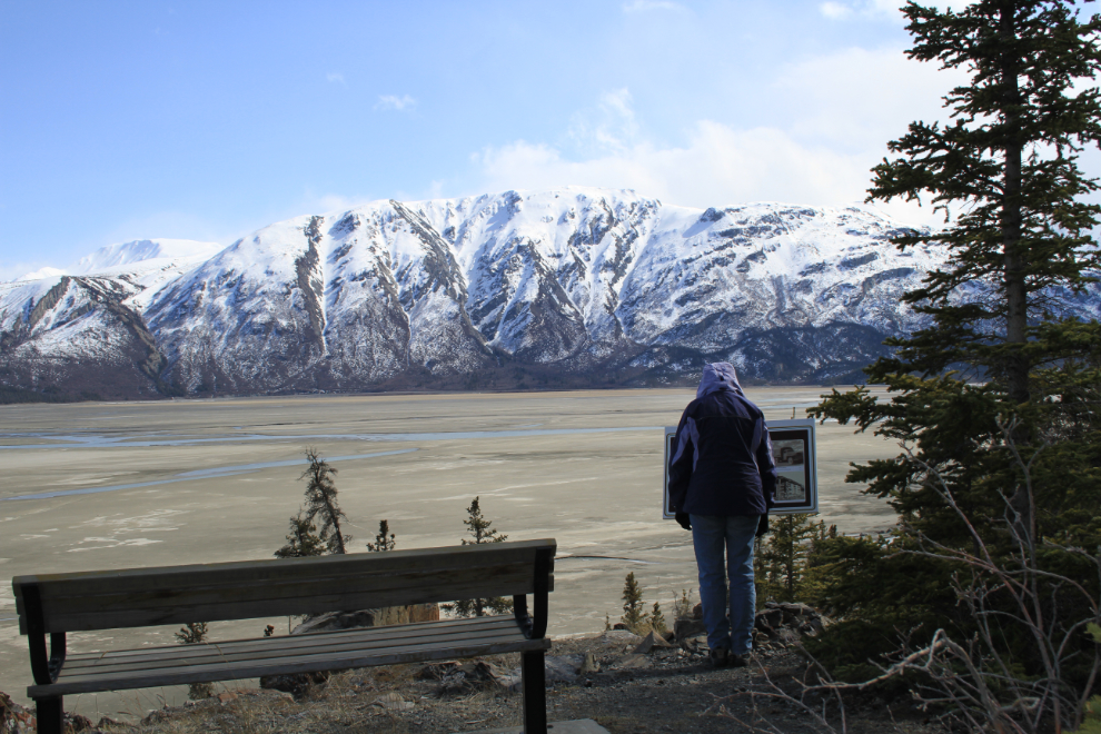
It was a lovely day to hike the Soldiers Summit Trail, despite the very cold wind blowing off the peaks. This is the view over the broad Slim’s River delta and Kluane Lake.
The interpretive signage along the trail is very good, and there are several benches to enjoy the view from.
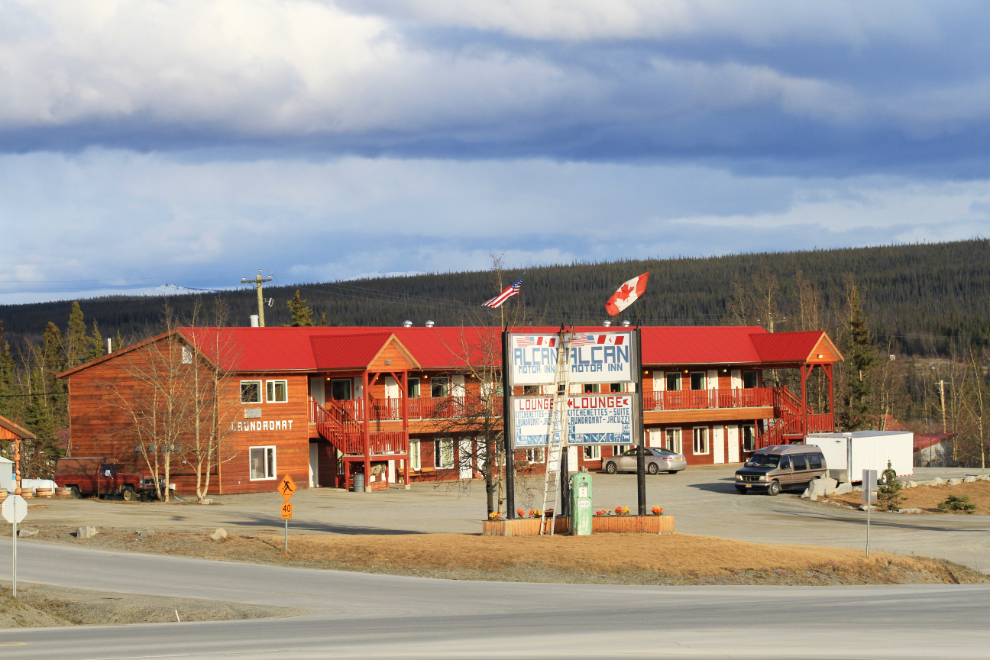
We were back in Haines Junction by 5:00pm, and checked into the Alcan Motor Inn. It’s hard to keep track of the changes in some communities – in “the Junction”, the Kluane Park Inn (“the KPI”) has closed, the cafe at the Cozy Corner Motel has re-opened after being closed for several years, the grocery store has closed, there’s a new post office, and there’s a new mountain-viewing area across from the police station. With huge staff cutbacks at Parks Canada announced last week, even the status of park facilities isn’t known yet.
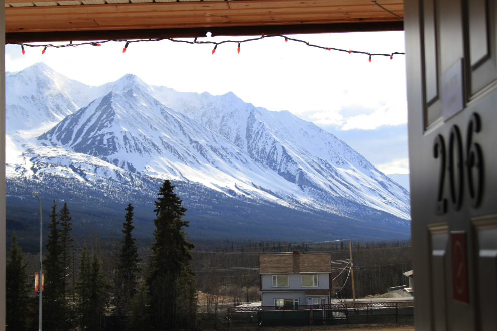
The view from my room at the Alcan was quite impressive.
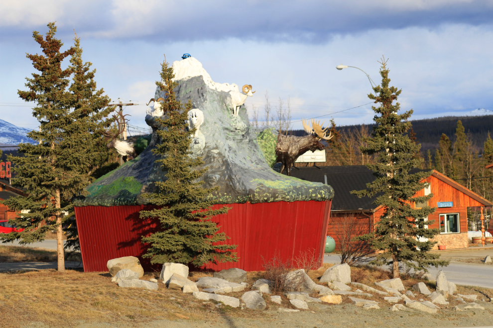
The community’s old “mammal muffin” sculpture doesn’t get much attention anymore, but I still like it. I found a funny comment about it online: “This, um, sculpture? is in Haines Junction, and if you look carefully, you’ll notice it’s on a pedestal that’s about 8′ high, so when seen from afar, it looks like a muffin cup, with the mountain and the animals growing out of it. It’s quite possibly the ugliest and most ridiculous thing I’ve seen for a while. Which is why it’s kind of awesome.”
There’s an old beaver pond a couple of miles up the Alaska Highway that I thought had photo potential in the evening light, so I drove out and shot this at 8:30.
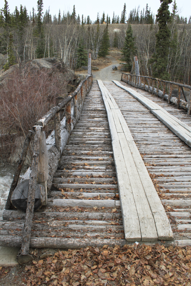
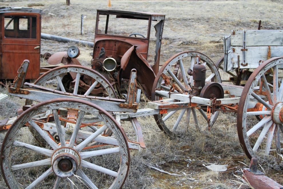
Julie and I worked on changes and enhancements to the Road Scholar programs until well after midnight last night and were at it again Sunday morning, so didn’t start the drive back to Whitehorse until almost 10:00. Our first stop along the highway was at Canyon Creek, where the historic wagon road bridge is the feature that most people see.
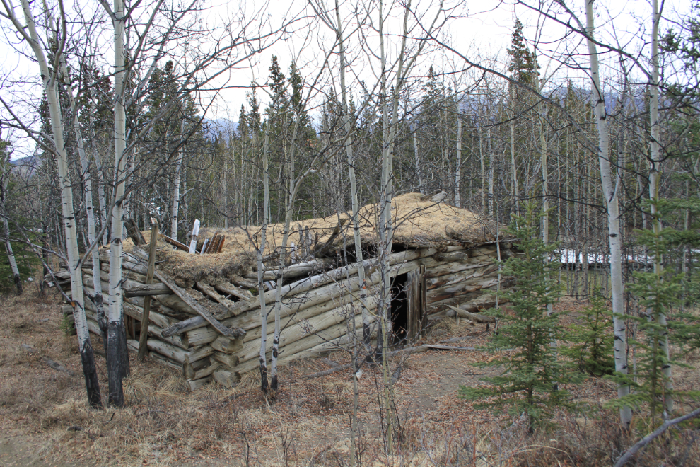
The cabin, of above the same vintage as the original bridge, is off in the forest at the west end of the bridge. It appears to be a roadhouse used by people travelling to and from the Kluane gold creeks.
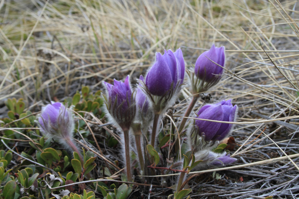
We went for a walk up the original Alaska Highway tote road, and at the top of the hill found lots of prairie crocuses – this is the first flower that appears in the spring.
Also at the top of the hill is a First Nations cemetery, with several very old “spirit houses”, and 3 new ones.
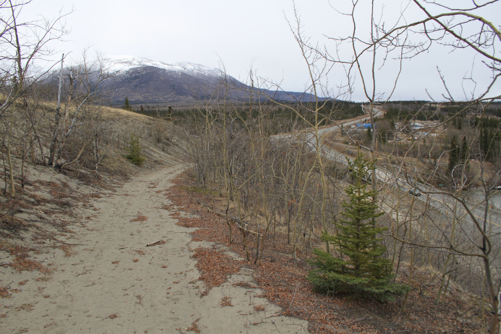
Looking back down the tote road to the current Alaska Highway.
The other major stop on the route back to Whitehorse was at the historic village of Champagne. Seldom visited now because of a major highway re-route a few years ago (2006?), I really like the feel of the place, except for the huge signs saying that trespassers in the cemetery will be prosecuted. I happen to like cemeteries, and feel that my visits show my respect for those who are now on the other side – I’m sorry that some people see it other ways.
One last look at the Champagne of old, and we were off on the last leg of what had been an amazing trip.
I’m home now for 3 weeks, with another major Alaska trip starting on May 28th when Cathy and I fly to Vancouver to spend 4 days before boarding the Celebrity Millennium with a small group of friends.