Hiking the North Klondike River Trail, and the Edge of the Arctic Interpretive Trail
On July 30th and 31st, I hiked the North Klondike River Trail and the Edge of the Arctic Interpretive Trail, in Tombstone Territorial Park. The trails both start at the same point at the northwest edge of the Tombstone Mountain Campground. The North Klondike River Trail is 3.4 km return, the Edge of the Arctic Interpretive Trail is primarily a 500-meter loop.
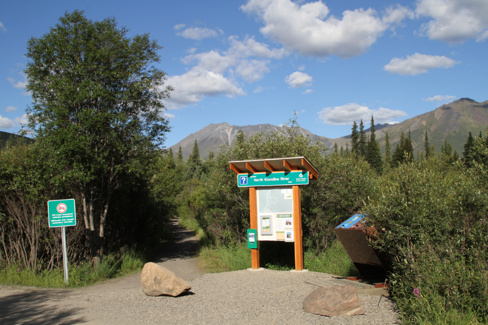
The first photo shows the information kiosk at the trailhead for both trails.
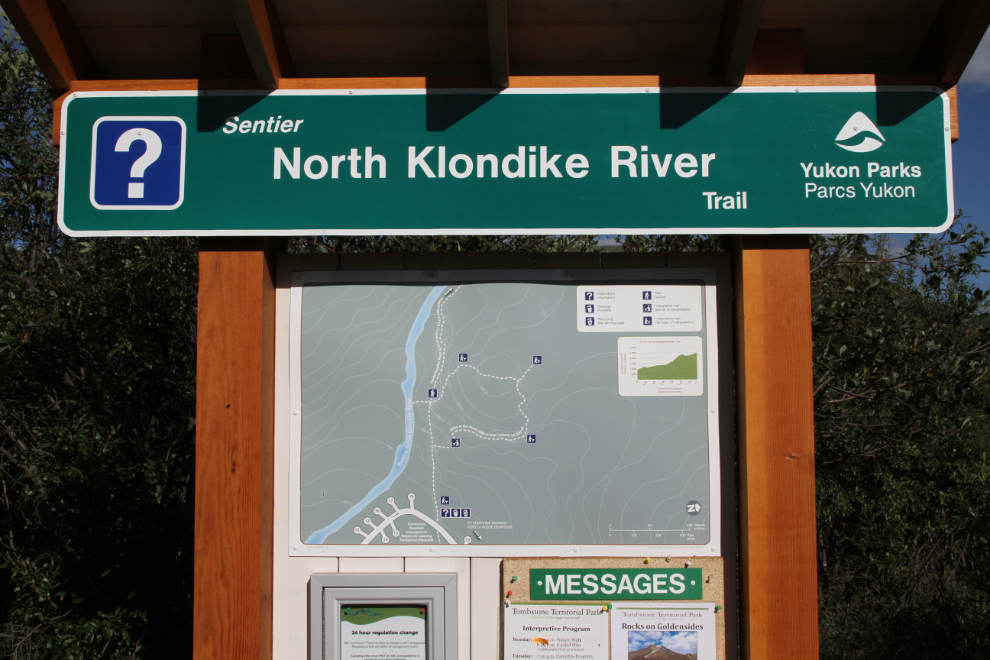
The trail map shows the first part of the North Klondike River Trail, with the Arctic Interpretive Trail looping off it.
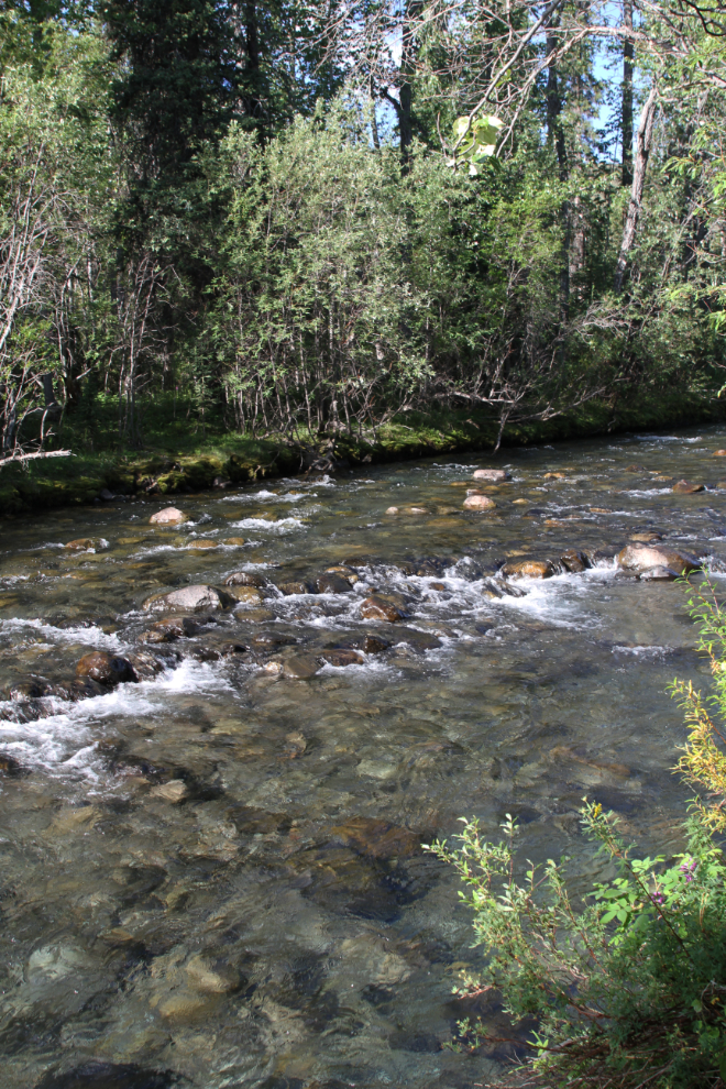
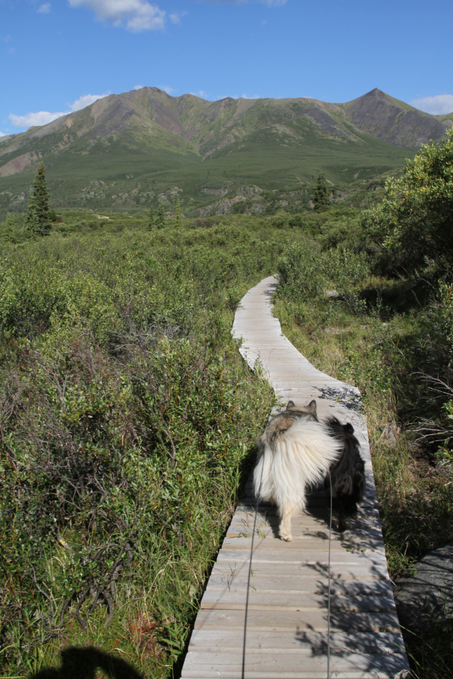
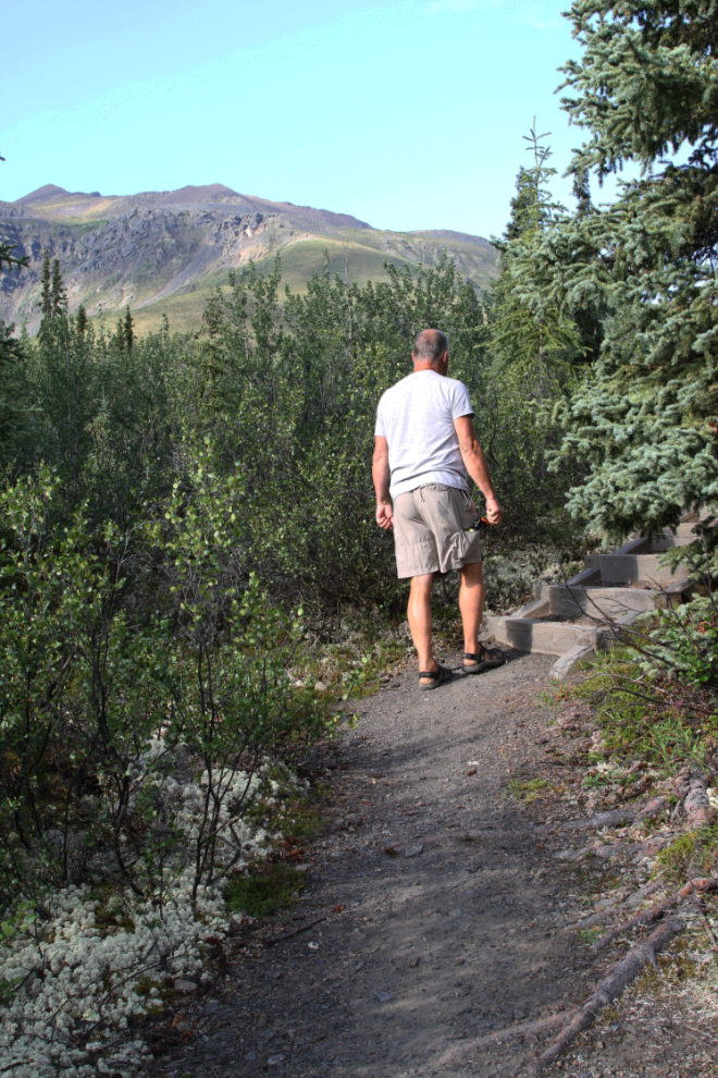
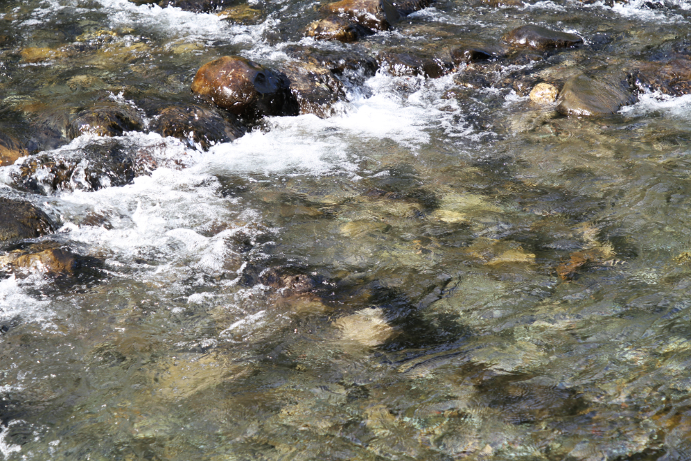
I took Bella and Tucker with me on the first long hike, and hoped to let them play in the river, but the banks were too steep. Too bad – the water was beautiful.
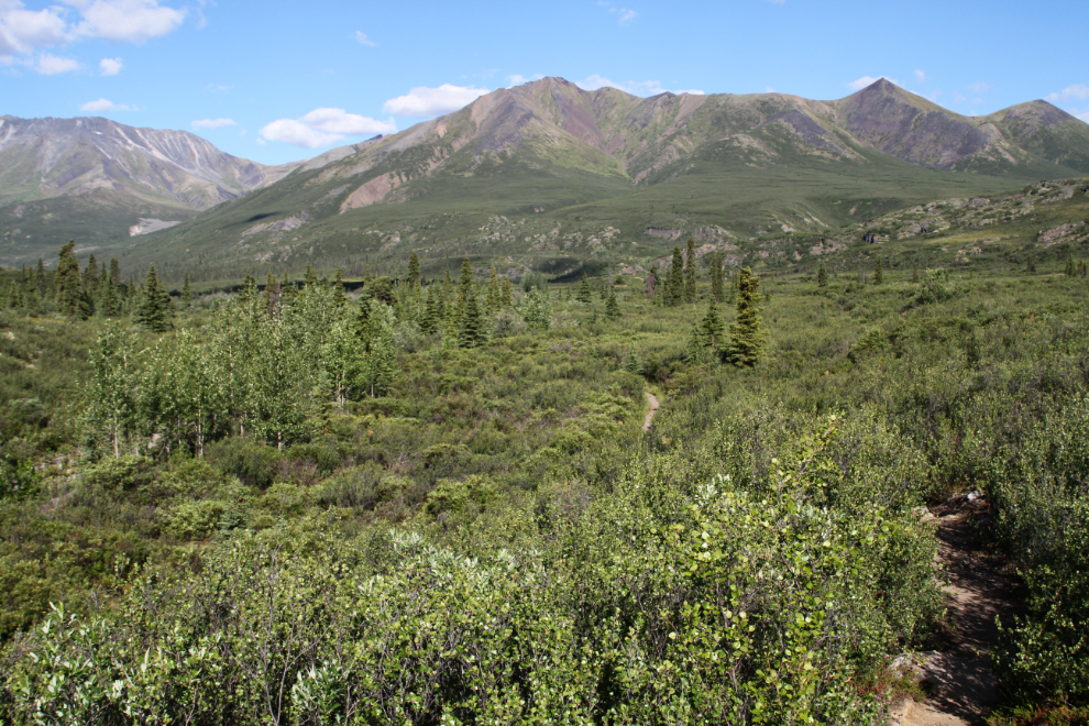
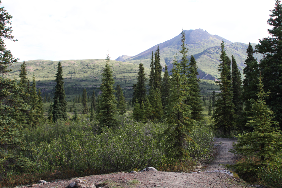
The mountain views in every direction in this area are stunning. From left to right are Cathedral Mountain, Whitecrown Mountain and Incline Mountain, part of the Cloudy Range.
20180730-2616.jpg – Cathedral Mountain, Whitecrown Mountain and Incline Mountain, part of the Cloudy Range
The trail soon leaves the forest and wanders through subalpine brush, mostly willows.
There’s a lengthy section of boardwalk, across what I assume is a wet area early in the season, though it was very dry when we were there. A short section of the trail is an overflow creek bed at times – the water has cut it down almost a foot for about 50 meters.
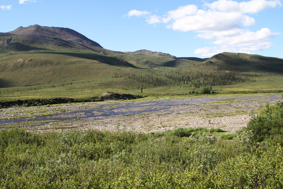
Thirty minutes from the trailhead, the North Klondike River changes character in a big way, becoming a broad braided river, with most of the riverbed now dry.
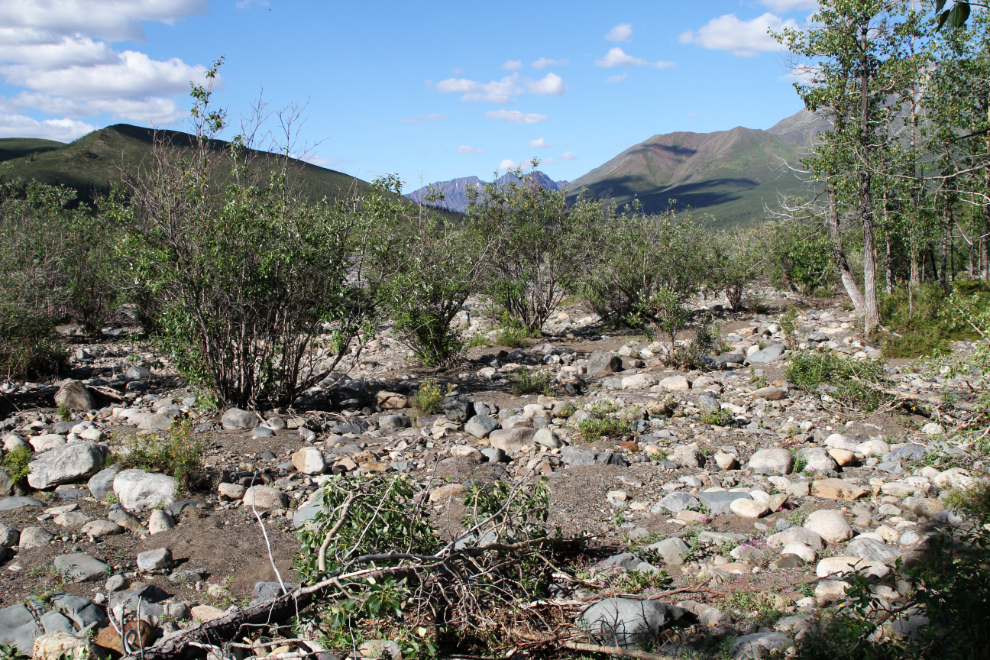
I thought about hiking up the riverbed instead of staying on the trail, but the open gravel area doesn’t go very far.
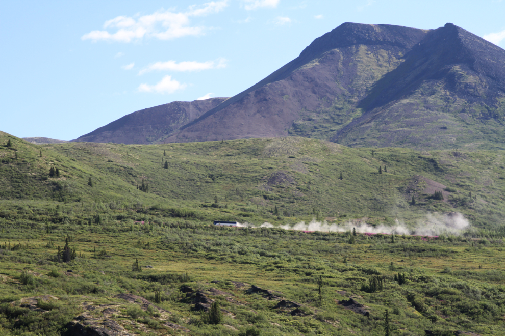
The trail never gets far from the Dempster Highway. I was very surprised to see a tour bus go by – tours that include the Dempster used to be common (I drove many of them), but are rare now. Perhaps the new road to Tuktoyaktuk will encourage more interest by tour companies.
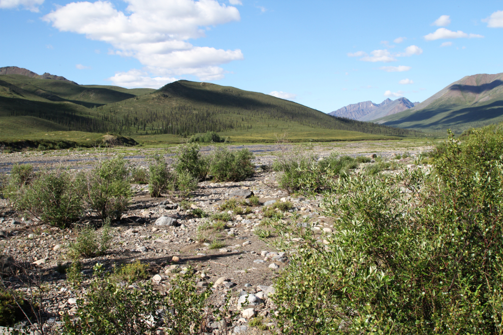
Looking across the braided channel to the southwest – I think that’s Rockcandy Mountain.
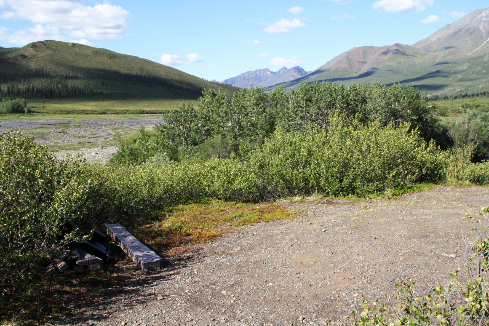
The trail suddenly ends at this bare patch of gravel above the river, 35 minutes from the trailhead. There are parts for a bench laying there, but it’s never been assembled and looks like it’s been there for a while. A couple of vague trails continued, one down to the river and one through the brush, but with no idea where they might lead (and neither appeared likely to have an interesting destination), I opted not to follow either.
We were back at the motorhome just after 11:30 (an hour and 15 minutes after leaving), having been slowed from our usual pace when we got caught behind a very popular Nature Hike. We filled the rest of that day by driving up the Dempster Highway about 50 km, but I’ll tell you about that in the next post. The next morning, I hiked the short Edge of the Arctic Interpretive Trail, without Bella and Tucker so I could stop more often to read signs (they don’t enjoy that).
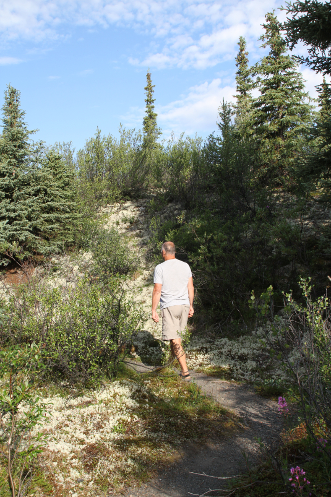
I left our campsite at 09:35, expecting the walk to take about 45 minutes. The trail begins on the same path as the North Klondike River Trail.
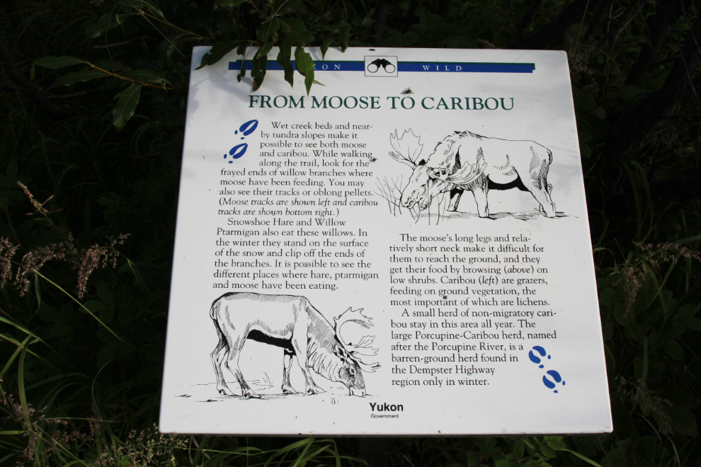
There are 5 interpretive panels along the trail. This one talks about moose and caribou and the signs to watch for that show they’ve been there. A small non-migratory herd of caribou live in the campground area year-round.
I was walking light – the only non-photographic gear I had taken was a can of bear spray, easily accessible in a side pocket of my shorts. I hadn’t seen any sign of bears on my longer hike the previous day.
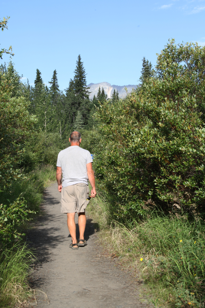
The mountain in the background, Goldensides, has what I expect is the most popular hiking trail in Tombstone Territorial Park. I went on a geology-focussed guided hike on it during Geology Week last year.
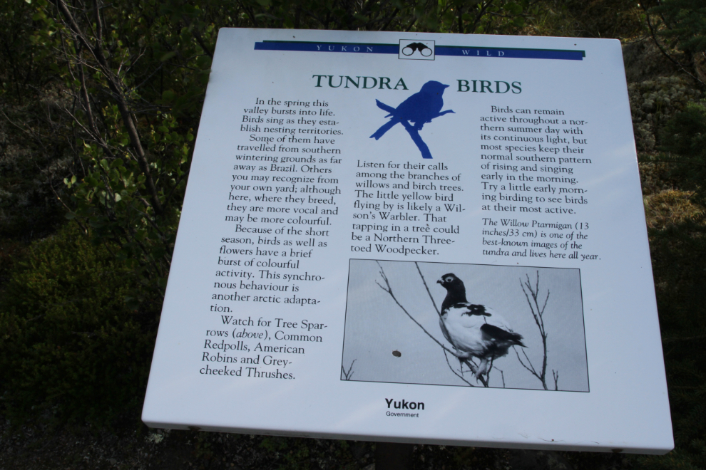
In the spring this valley bursts into life. Birds sing as they establish nesting territories. Some of them have travelled from southern wintering grounds as far away as Brazil. Others you may recognize from your own yard; although here, where they breed, they are more vocal and may be more colourful. Because of the short season, birds as well as flowers have a brief burst of colourful activity. This synchronous behaviour is another arctic adaptation. …
The trail has a surprising amount of variety of both terrain and vegetation in a short distance.
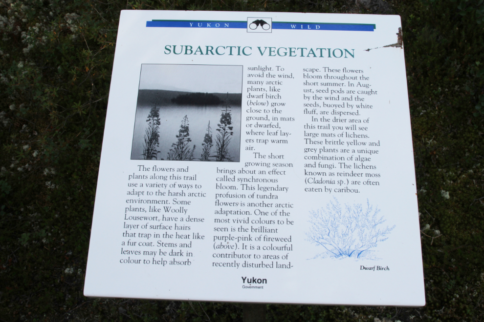
The flowers and plants along this trail use a variety of ways to adapt to the harsh arctic environment. Some plants, like Woolly Lousewort, have a dense layer of surface hairs that trap in the heat like a fur coat. Stems and leaves may be dark in colour to help absorb sunlight. To avoid the wind, many arctic plants, like dwarf birch, grow close to the ground, in mats, or dwarfed, where leaf layers trap warm air. …
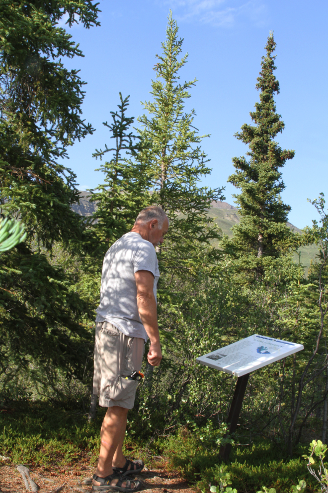
I was really pleased with the interpretive panels. There was a lot of information presented, but not too much, and most included various prompts to look further and closer as you walk the trail and drive the Dempster Highway.
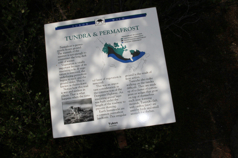
Permafrost is permanently frozen ground. The warmth of the summer is not enough to counteract the long dark cold of winter. Vegetation is vitally important because of its insulating role. If vegetation is removed, the underlaying permafrost begins to melt and the ground sinks. This is known as thermokarst. Notice how this trail is wet and sunken in places. This is what happens when the natural layer of vegetation is removed. This was an important consideration in construction of the Dempster Highway. An insulating gravel layer was built under the length of the roadway to prevent thawing. …
The interpretive panels don’t neglect even the little creatures that seldom get mentioned in such interpretation:
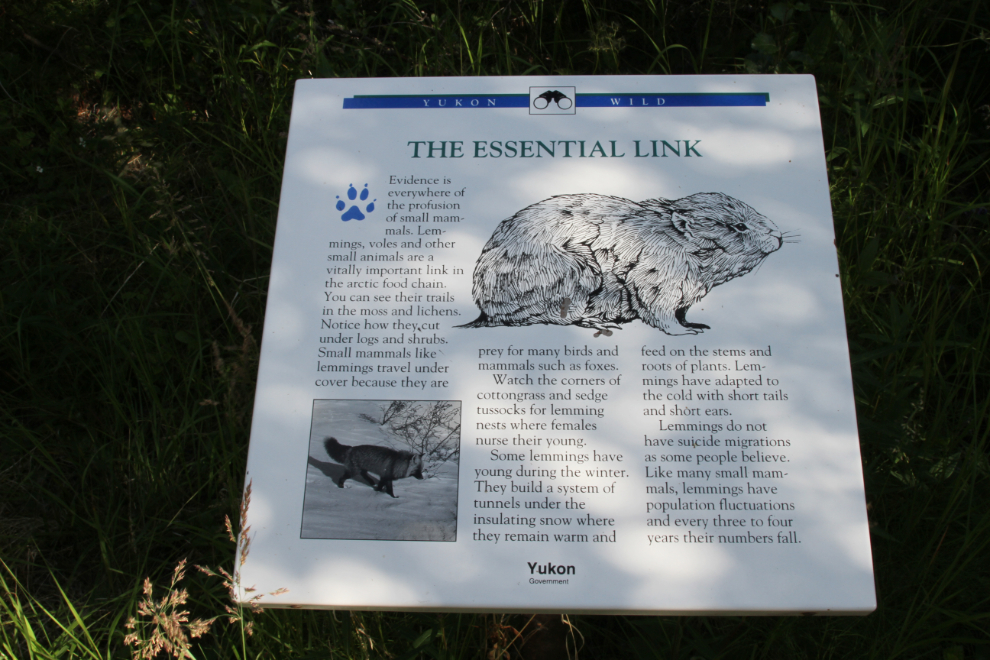
Evidence is everywhere of the profusion of small mammals. Lemmings, voles and other small animals are a vitally important link in the arctic food chain. You can see their trails in the moss and lichens. Notice how they cut under logs and shrubs. Small mammals like lemmings travel under cover because they are prey for many birds and mammals such as foxes. Watch the corners of cottongrass and sedge tussocks for lemming nests where females nurse their young. …
There are two side trails that could use some signage, as both are useful parts of the trail. One goes to the bank of the North Klondike River, which would be a great location for another interpretive panel.
Even with all of my stops, the Edge of the Arctic Interpretive Trail only took 30 minutes – a nice walk to start the busy day off.