Hiking to the 1942 Alaska Highway bridge over the Slims River
On June 15th, two friends and three of our dogs joined me for a hike to the ruins of the Campman Bridge, built over the Slims River by the US Army Corps of Engineers during construction of the Alaska Highway in 1942.
The hike began at 1:45 on the access road to the Ä’äy Chù (Slim’s River) East Route. A fairly large parking lot is located at Km 1645.6 of the Alaska Highway, about 2 km from the modern Slims River Bridge. Because of the strong possibility of encountering a grizzly bear, we kept the dogs on leash.
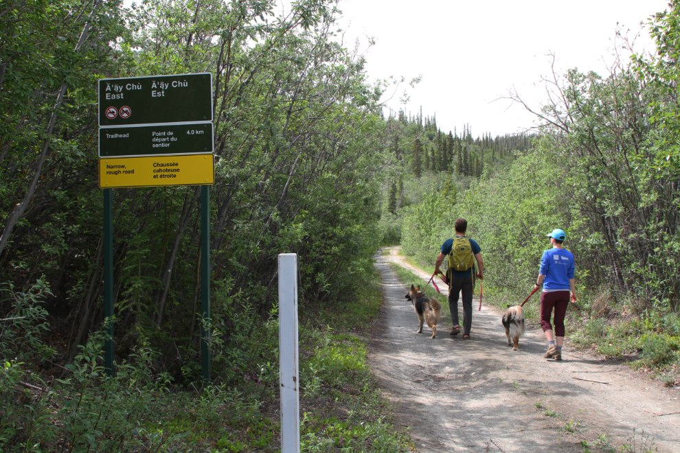
Within about 10 minutes, the views across the Slims River valley opened up dramatically.
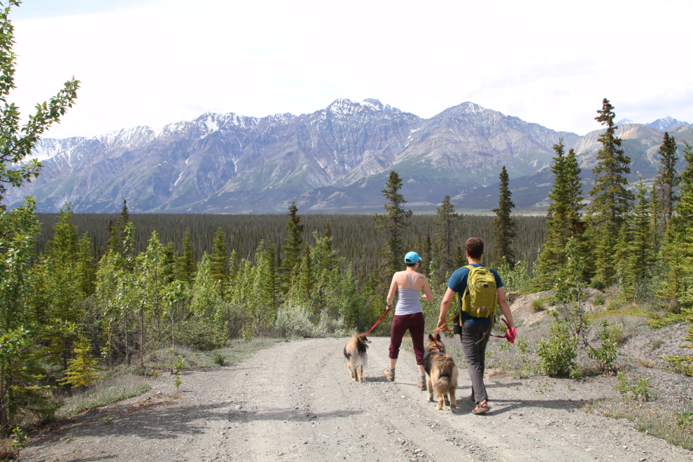
There are some ups and downs, but much of the 3-km-long access road (which is the original Alaska Highway) is level.
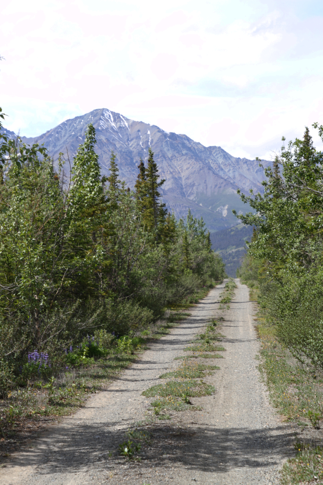
At about the 3 km point, there’s a widening of the road so vehicles can turn around, and the Slims River East trail leads off to the left, up Vulcan Creek. We continued walking straight ahead.
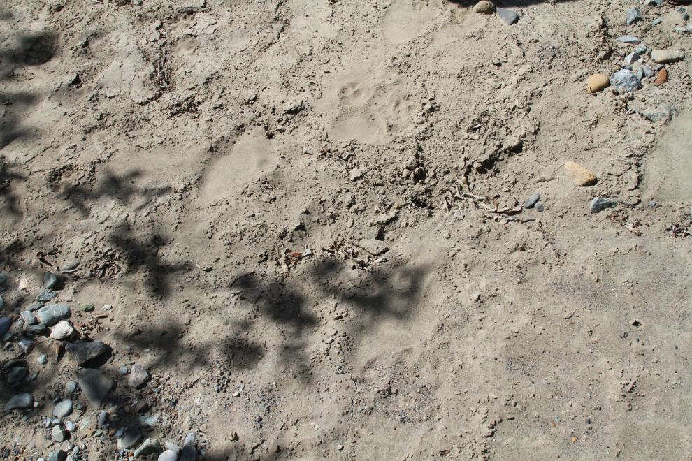
Although not very distinct in the fine silt, we came upon very fresh grizzly tracks. Not a large bear, but a grizzly nonetheless. We followed them for quite distance.
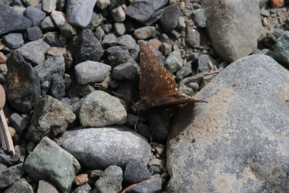
I was very surprised (and very pleased) to find many butterflies along one stretch of the road. I didn’t see what was attracting them to this particular area of a few hundred meters. Among the 4 or 5 species was this little brown one. Environment Yukon’s Yukon Butterflies brochure hasn’t led me to a positive identification, but I think it may be a Persius Duskywing (Erynnis persius).
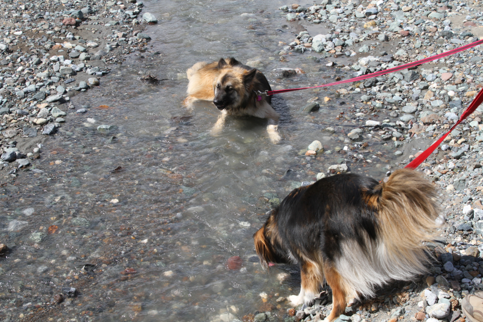
When we reached the main channel of small and much-braided Vulcan Creek, the kids were happy to get a drink. Rosie is the only dog I recall seeing who lays in a creek to get a drink 🙂
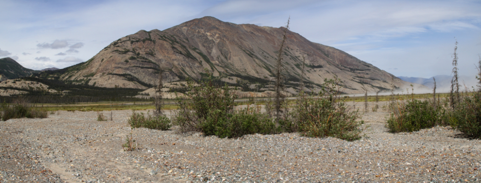
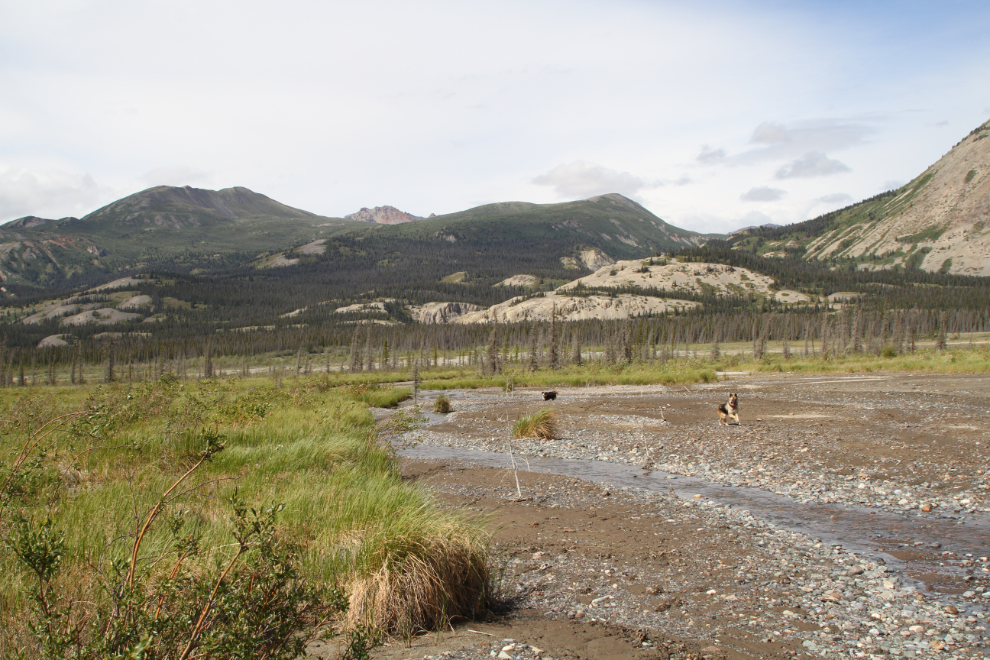
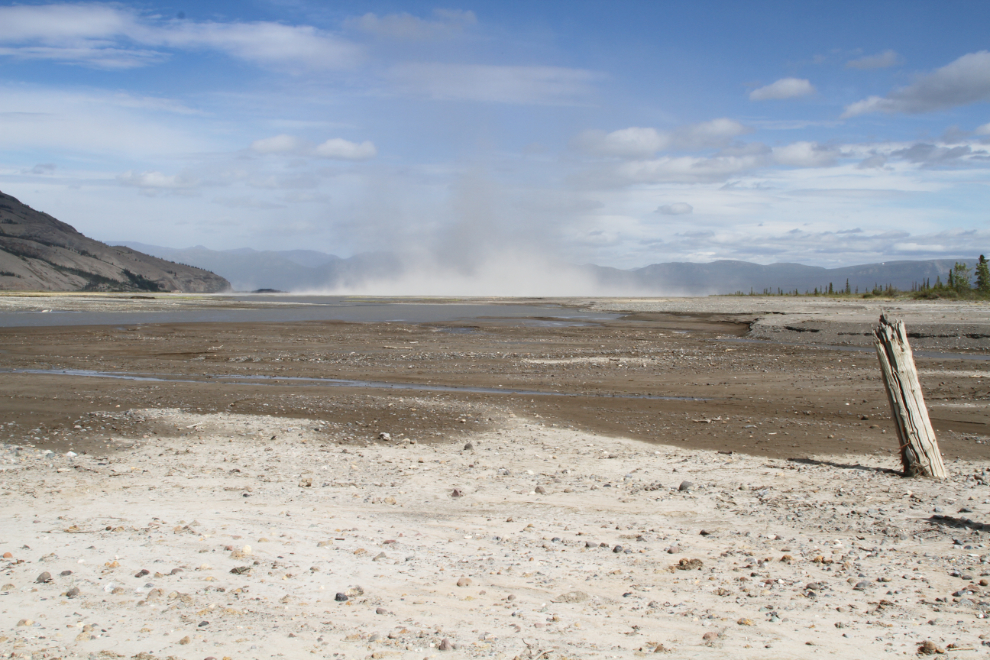
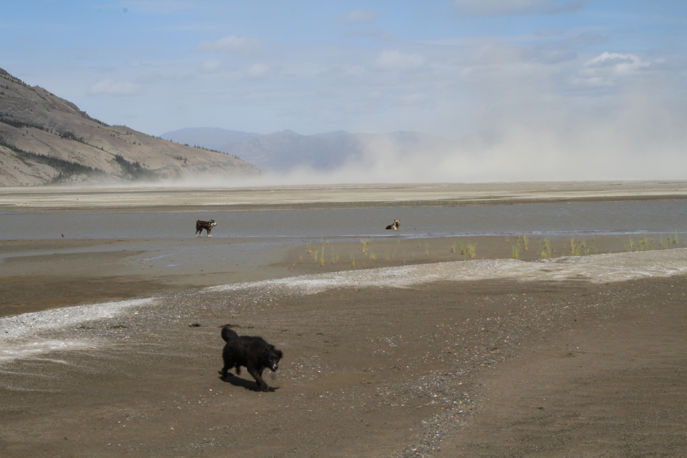
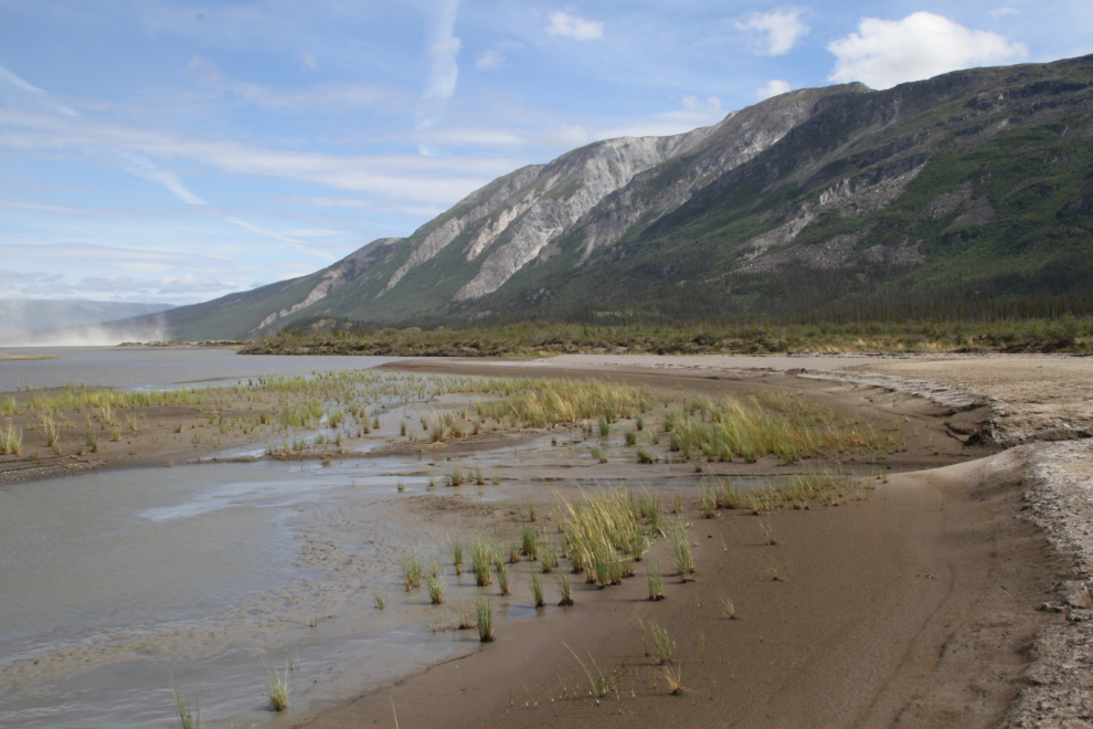
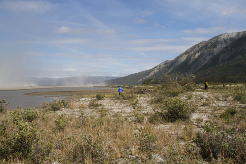
Fifty minutes from the start of the road, we were well into the Slims River valley and the views were wide open. The next photo is a 2-photo panorama with the Alaska Highway and the dust storm at Slims River flats to the right.
Now that we had good sight lines, Tucker, Granite, and Rosie were let off their leashes, and took full advantage of it. They’re all very good at recall.
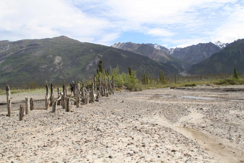
At 2:50 we reached the ruins of the Campman Bridge, which I expect was named after the commander of one of the Corp of Engineers units that built it. This was the first of at least 4 Slims River bridges – it was built here because the natural river channel is much narrower than at the current location a mile or so downriver.
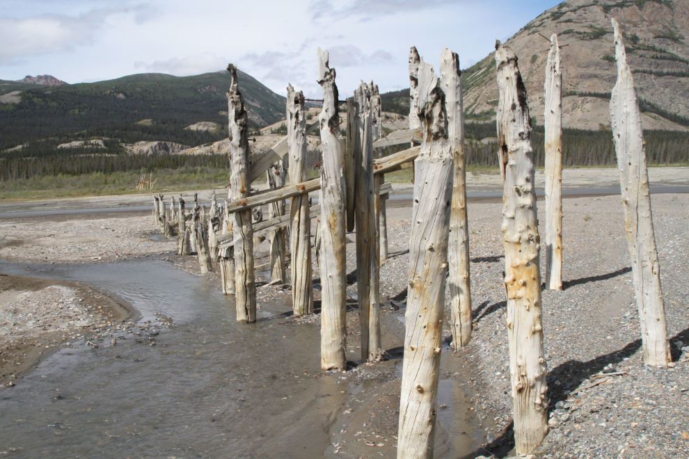
Looking across the Slims River to the bridge ruins on the west side. They can be accessed from the Slims River West trail near Sheep Creek. The bridge was a single lane, with 3 or 4 pullouts to allow vehicles to pass.
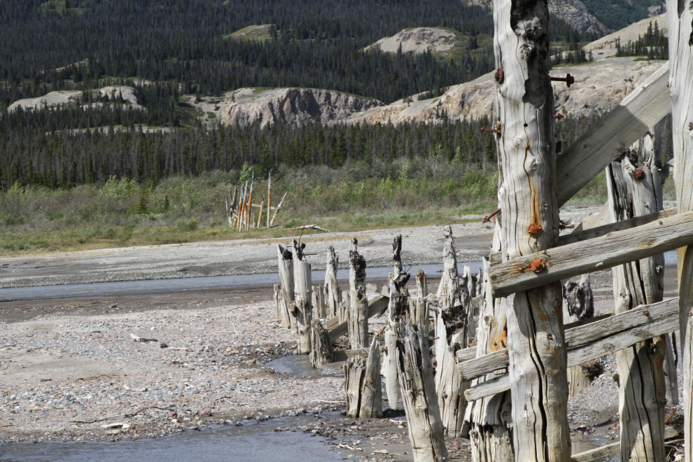
If I remember correctly, the bridge burned in a forest fire in the late 1950s or early ’60s.
The view to the east, looking up Vulcan Creek. A lengthy gravel ramp led to the bridge on both sides.
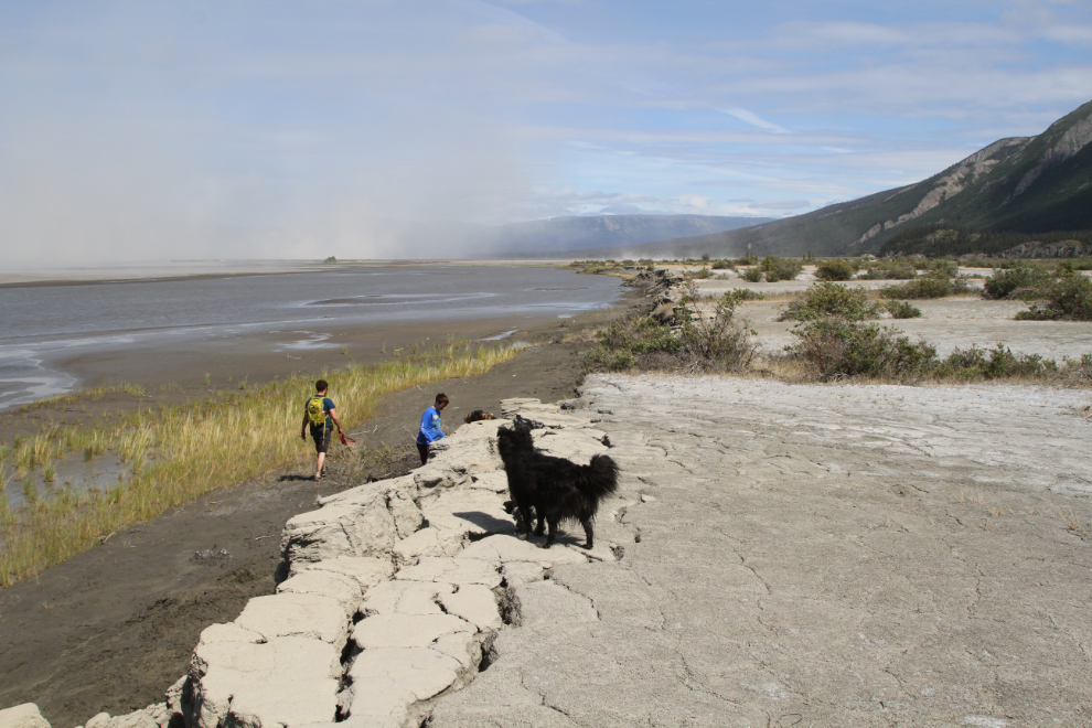
To keep the spectacular views and allow the dogs to stay free, we decided to hike down the Slims River back to the Alaska Highway. By staying to the east we should be able ro stay out of the dust storm.
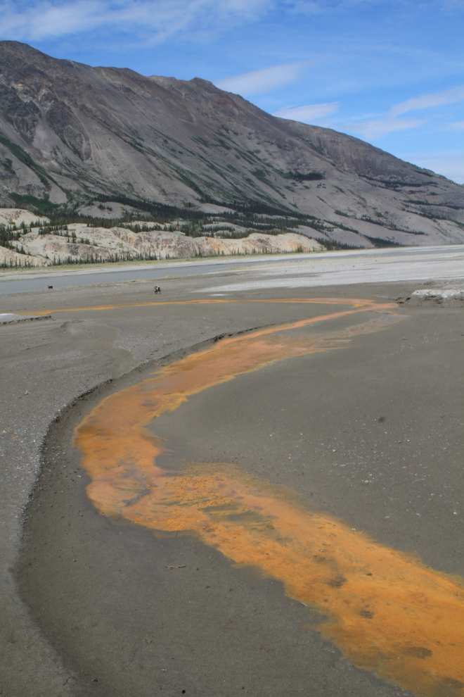
We didn’t know what to make of this orange stain in a minor channel of Vulcan Creek. Is it natural, or something flowing from the US Army site from 70 years ago? We’d didn’t see it anywhere else so I unfortunately think it’s the latter.
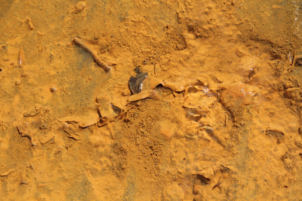
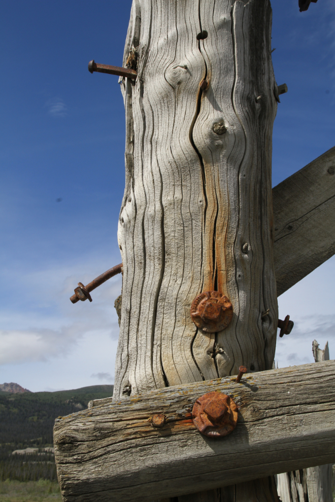
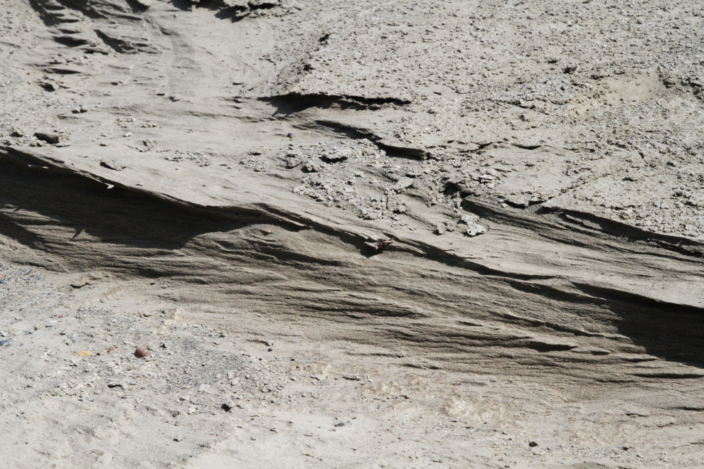
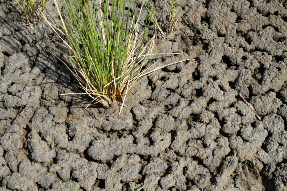
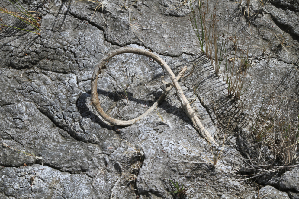
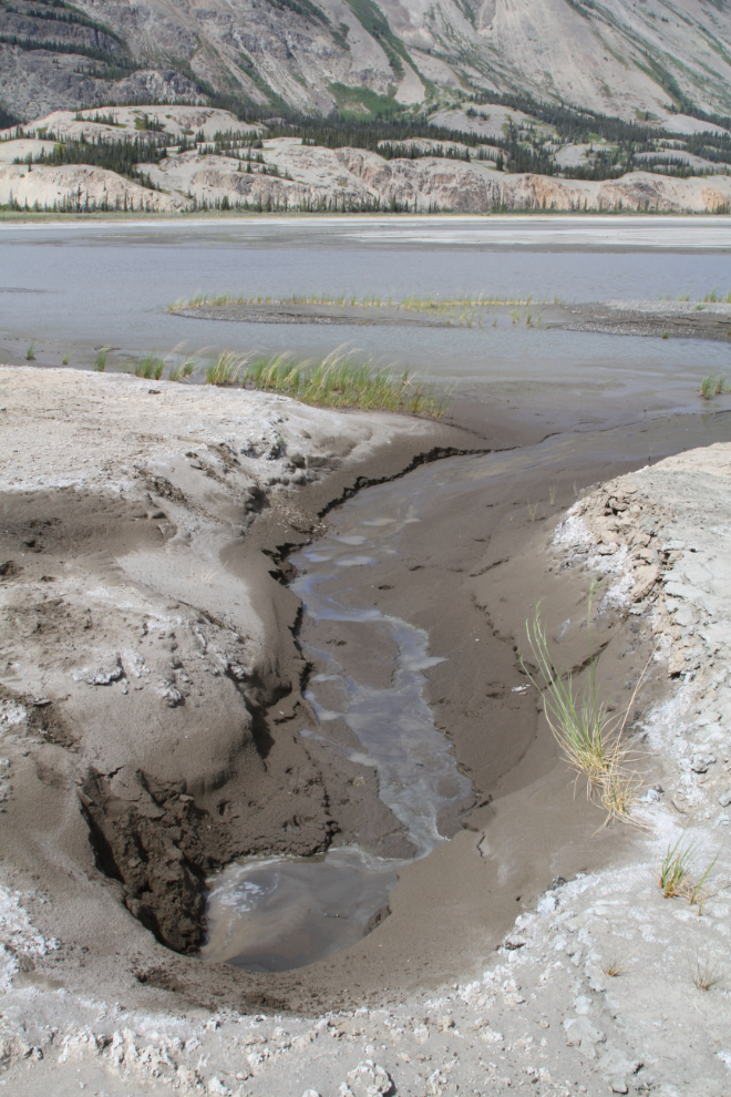
I sometimes go for fairly long periods without shooting many detail photos, but the Slims River hike provided lots of subjects. Dried silt in many forms, and plants – it’s fascinating terrain…
The kids were having a ball exploring! 🙂
As we got closer to the highway and Kluane Lake, the gradient of the river lessened, and there was more variety along the banks.
This spring came out of nowhere, and had a good flow of clear water.
A steep bank forced up into the brush for a few hundred meters but the walking was still easy.
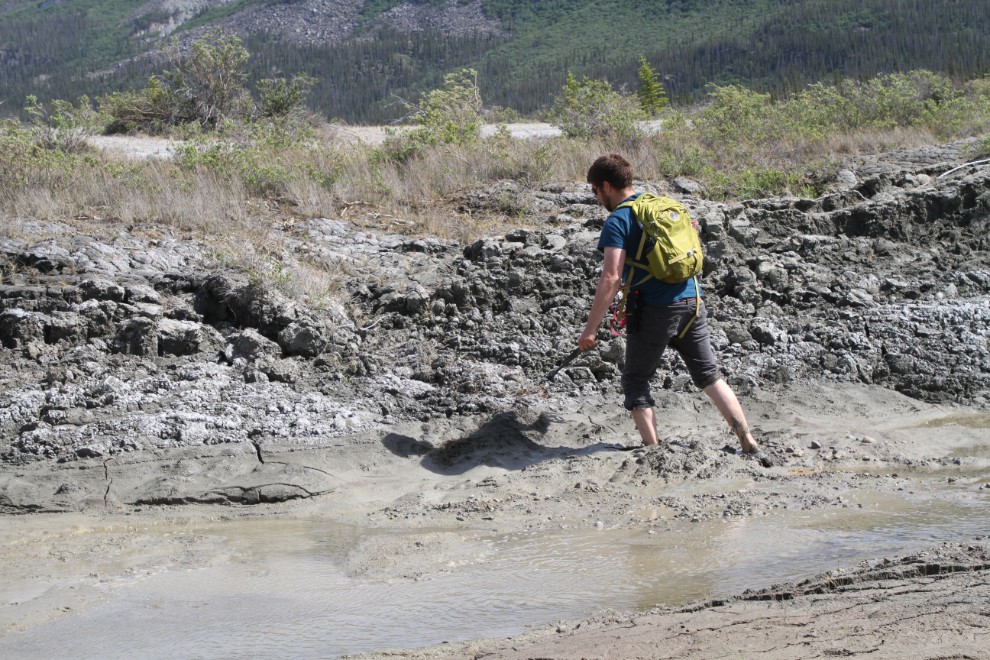
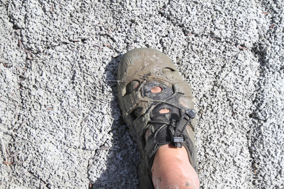
Whoops! Adam found that piece of ground wasn’t nearly as solid as it looked.
Sam and I found routes where we didn’t sink into the muck nearly as much 🙂
After that, Tucker and I stayed on the high, dry ground for a while.
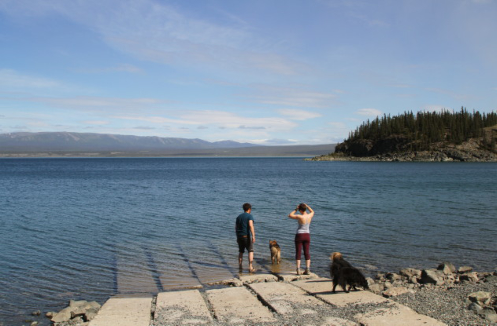
We got back to the car at about 4:00. On the drive back to the campground, we stopped at the boat launch to wash off the mud all 6 of us had accumulated.
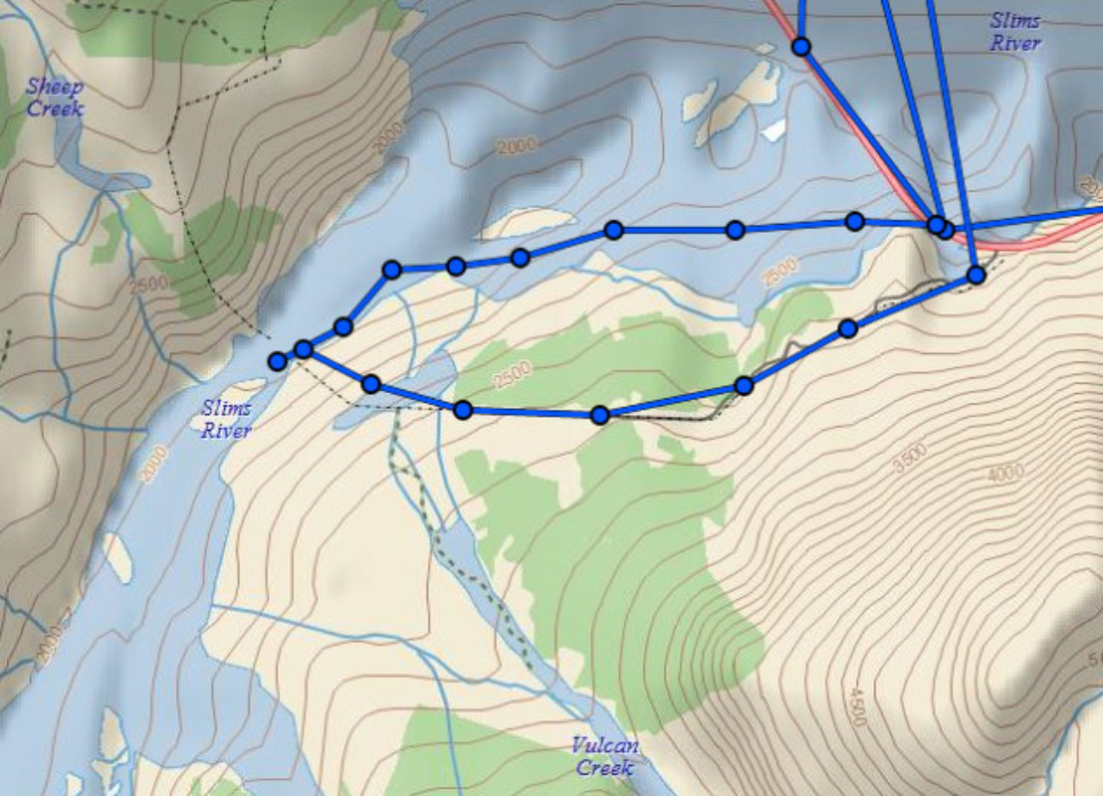
The final image is the route as kept by my Garmin inReach Explorer+.
It had been many years since I’d seen the bridge ruins. This turned out to be a great hike.