Exploring a bit of Lund and Powell River
Day 37 of the trip, June 1st, was a day of exploring with my RVing friends Barb and Dave Rees, lunch with them at Lund, and then lots of walking in Powell River with my dogs.
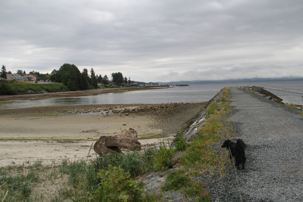
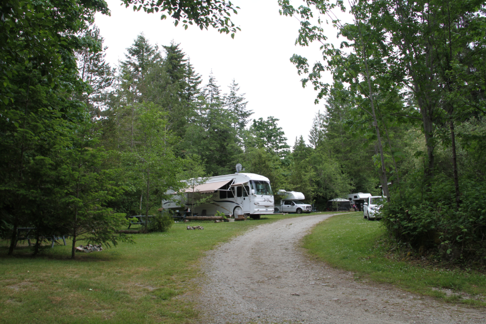
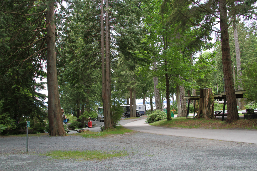
The Willingdon Beach Campground, which I had booked at Barb’s suggestion, was working our great for our needs. Central to everything, with 2 good dog walks, one at the Willingdon Beach park and breakwater, and an interesting one through the forest. I’d soon find out that there were a few other trail options as well.
Barb and Dave Rees came by at 10:00 to continue my orientation tour of the area, showing me some of their favourite places. I think this is Haywire Bay Regional Park – lovely spot.
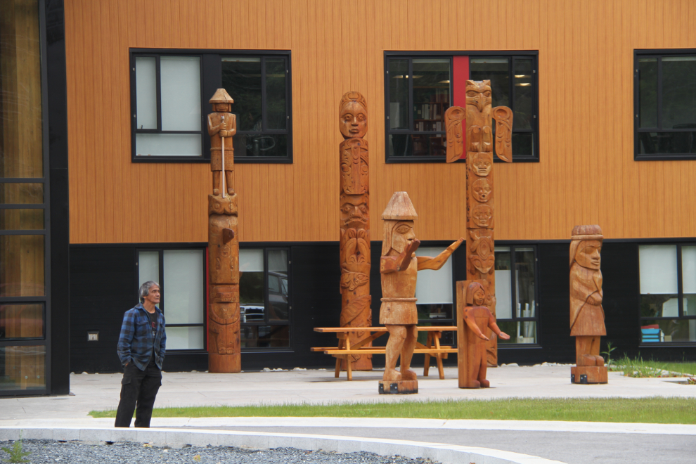
We swung by the administration office building for the First Nation – beautiful.
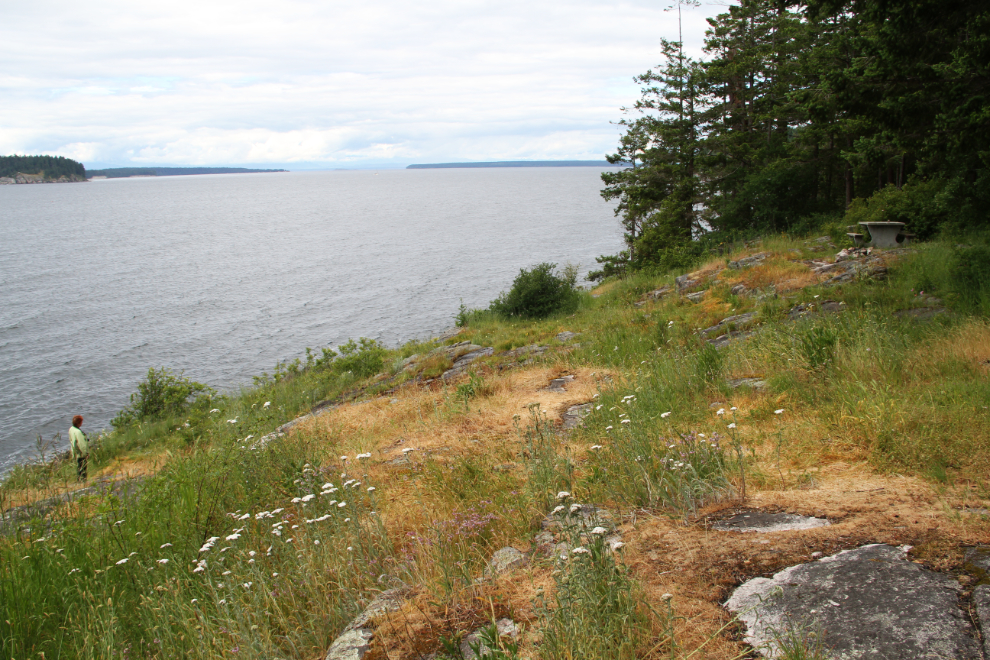
Our next stop was Dinner Rock, a place I see photos of often on Barb’s Facebook posts. The rock itself was the site on a shipwreck on the night of October 11, 1947. Two women and 3 infants died when the M.V. Gulf Stream went shore due to a navigation error, and a white cross on the top of Dinner Rock is dedicated to their memory. The ship now rests at the foot of the rock, 150 feet below the surface.
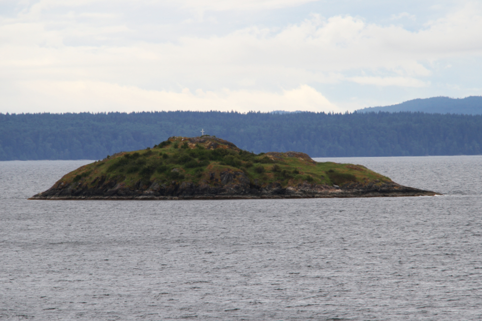
The grim history notwithstanding, Dinner Rock is a particularly beautiful spot to spend time.
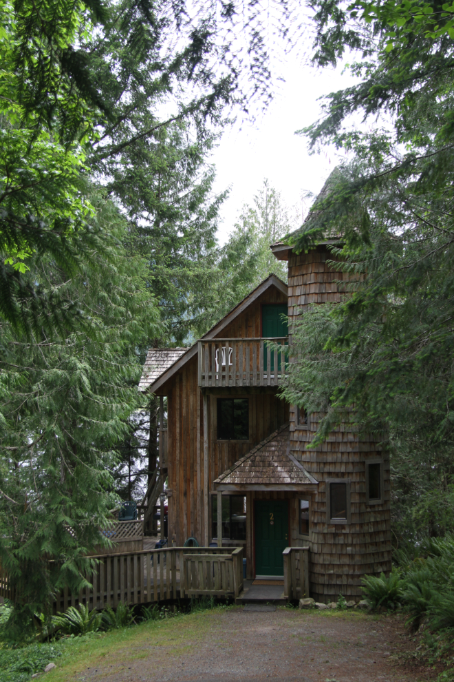
Next we went to a lodge whose name I forget, which has some really unique cabins overlooking the water. As with every other tourist operation I’ve seen so far, the lodge property was pretty much devoid of guests.
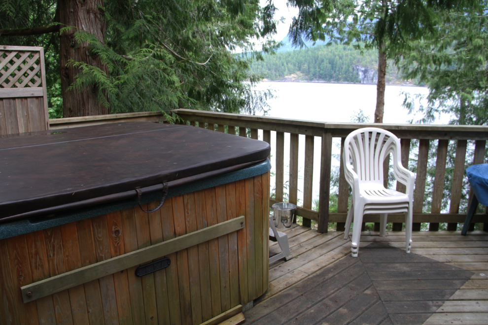
The deck and hot tub of the cabin seen in the photo above. Add a bottle of wine and your favourite hot tub partner for a wonderful evening.
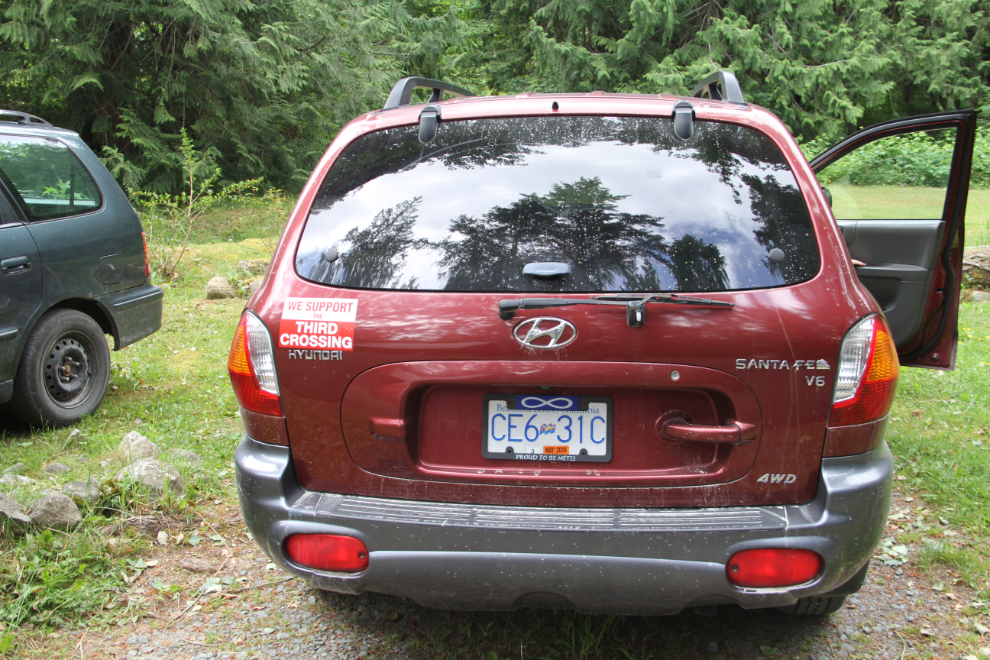
On the back of the Rees’ car is a bumper sticker that reads “We Support the Third Crossing”. That third crossing isn’t another ferry route or a bridge as it probably sounds, but a road into the interior, to connect with the rest of BC without the need for any ferries. Most of the route is already in use by logging – only some 35 miles of road would need to be built. Back 50 years, that’s how what is Highway 99 north of Pemberton started – as the Duffy Lake Main, we drove those logging roads every now and then just to get into some spectacular backcountry.
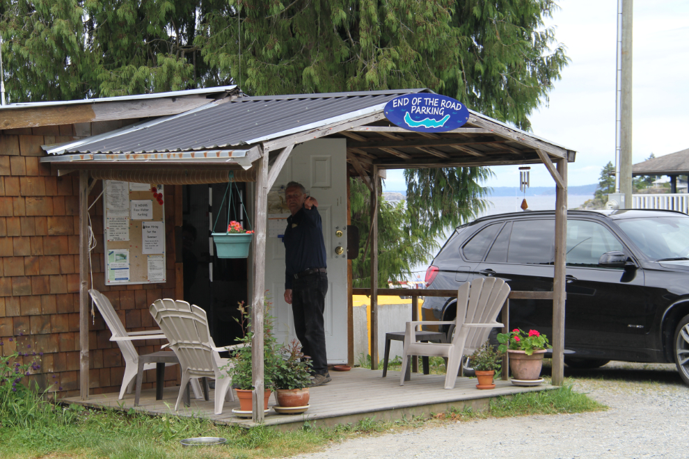
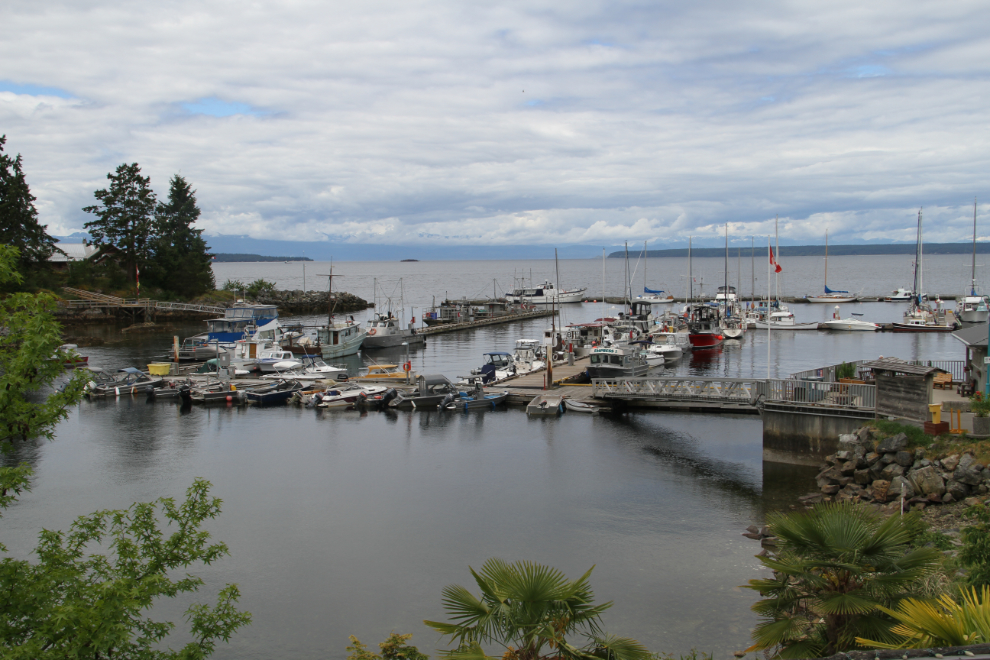
Just before noon, we arrived at Lund, which is the north end of Highway 101, the Pacific Coastal Route. Dave checked in to the “End of the Road Parking” office to let them know that we were going for lunch at The Boardwalk – that makes parking free.
The more of these tiny communities I visit based around a marina in a sheltered cove, the more I like them. Initially I found them very confining, some even claustrophobic, but at least in the shoulder season when the weather is lovely and there are few people around, the vibe is very special.
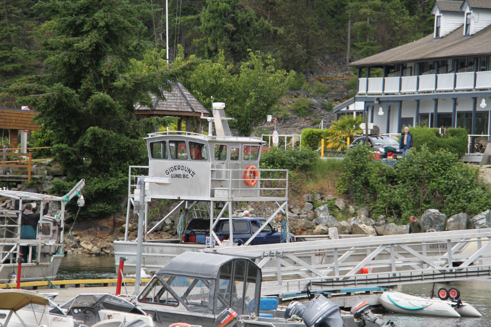
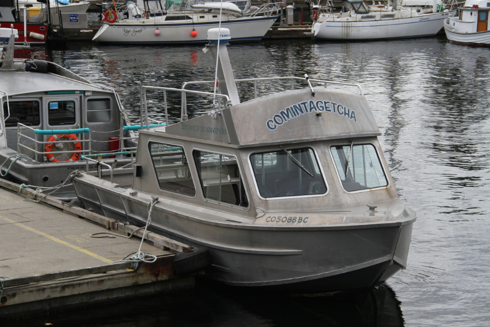
A little 2-vehicle ferry and freight boat (with a landing-barge bow) was loading on the far side of the harbour. Check out the hilarious name for a work boat – Giderdun II 🙂
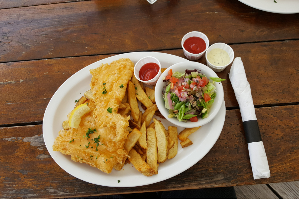
One of The Boardwalk Restaurant’s signs makes the claim “Best Fish and Chips on the Coast.” Your Culinary Explorer immediately went to work to see if he could verify that claim 🙂
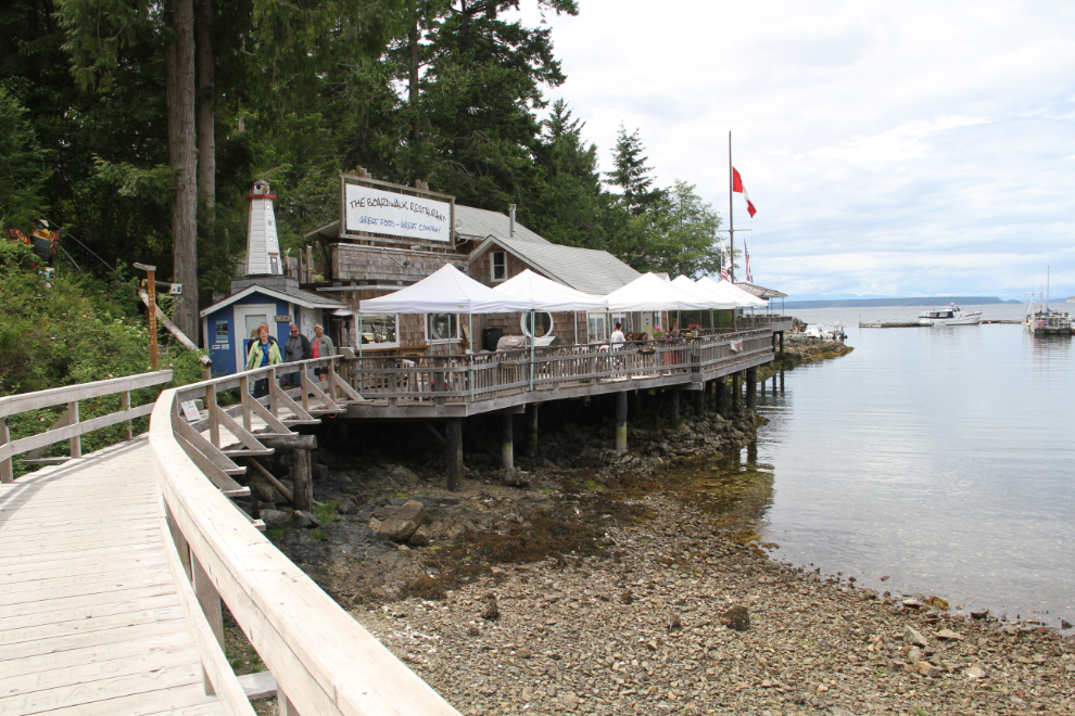
The ling cod and chips were certainly one of the best fish and chips on the coast. The salad was exceptional, the view spectacular, the vibe and company as perfect as I could have hoped for. The summary: The Boardwalk Restaurant was overall the best fish and chips experience on the coast.
Giderdun II was a great name for a work boat, and check out the water taxi – Comintagetcha! Having a good sense of humour would count here in Lund at times, I have no doubt.
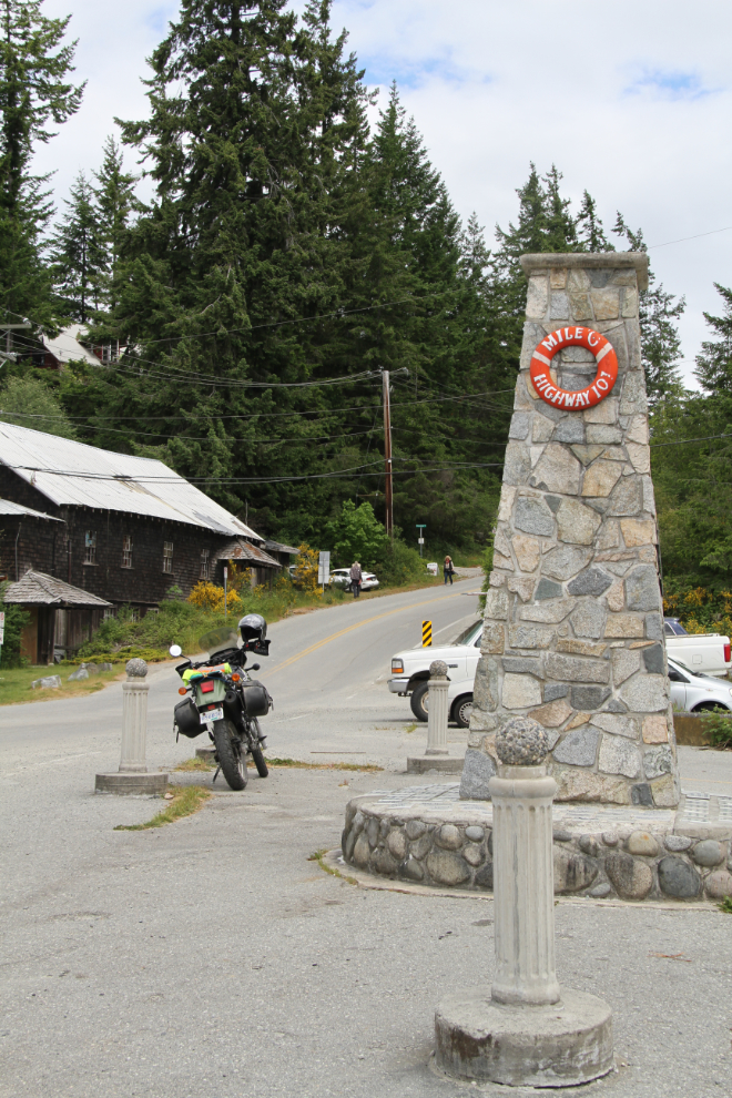
This “Mile 0, Highway 101” monument was built in 2009. A sign explains that Highway 101, the Pacific Coastal Route, is a series of interconnecting highways that runs from Lund to Quellon, Porto Monte, Chile. That makes it one of the world’s longest roadways at 15,202 km. For me, by the end of this trip I’ll have driven Highway 101 all the way from Lund to Ensenada, Mexico – in many legs over the span of 46 years.
We had a look through an excellent art gallery, and then before leaving Lund, at the RV park. It’s really nice and I thought about moving up here for a day or 2, but decided in the end not to. The reality is that I have to leave pretty much every place before I’m really ready to.
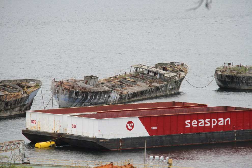
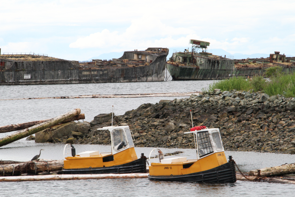
Back in Powell River, we did a quick tour of the historic Townsite which I’d come back to for a thorough look, then one more stop – at a viewpoint overlooking “The Hulks.” Well known to anyone with an interest in West Coast nautical history, I would think, the 10 concrete-hulled ships that now surround the log pond at the pulp and paper mill create the world’s largest floating breakwater. Using decommissioned ships to create breakwaters isn’t unusual, but keeping them floating is. Four of the hulls have become too expensive to maintain, however, and are going to be sunk.
Back at the nearly-empty Willingdon Beach Campground, it was time to get Bella and Tucker out for a walk. But first, I went to the campground office and booked another night – I was nowhere close to being finished with the Powell River area.
I decided to take the kids up the forest trail that I’d joined Barb and Dave and a friend on the day before, to get a better look at all the old logging equipment. The trail route actually began life as a logging railway in about 1910, operated by the Michigan and Puget Sound Railway Company. Bella and Tucker are still rather a nuisance to walk through these forests with – there are just so many amazing sights and smell that are new to them. Yes, I could short-leash them and put a stop to their exploring so my walks are easier. Cathy could try that with me, too, but doesn’t 🙂
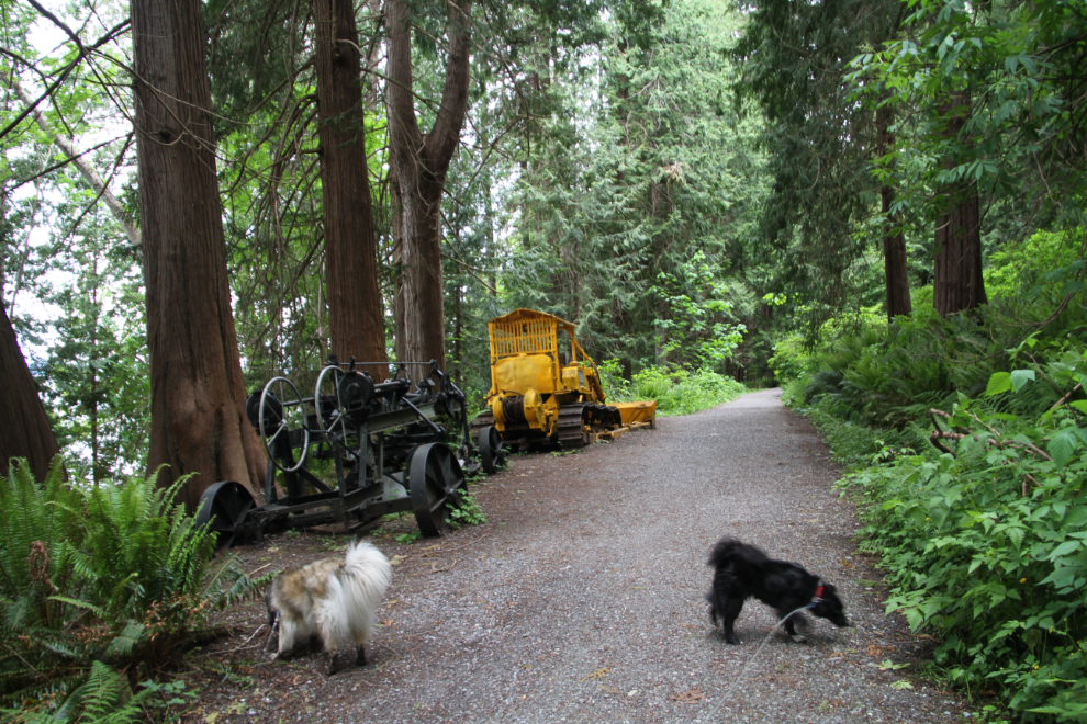
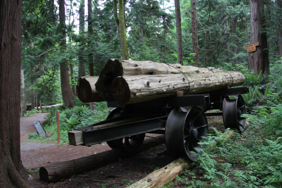
This massive log car needs a person beside it so you can see how large it is. I didn’t bring my tripod, though. The Powell River Forestry Museum Society has been responsible for getting and interpreting all of the equipment along the trail – over 20 pieces of all sizes.
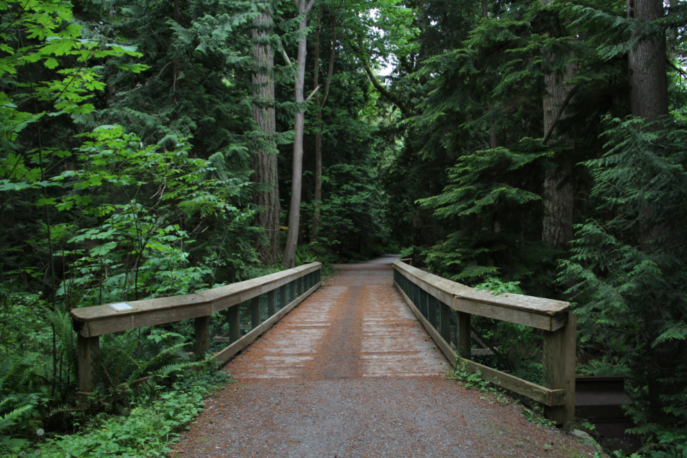
In 2003, some 1,100 hours of volunteer labour resulted in this new Second Beach Trestle, built of Western red cedar.
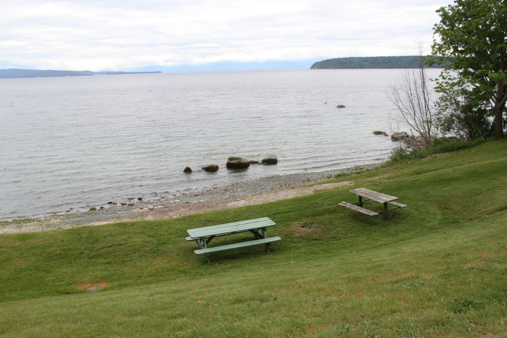
From the trestle, we took a rough trail down to Second Beach, and with nobody around, Bella and Tucker got some freedom to play.
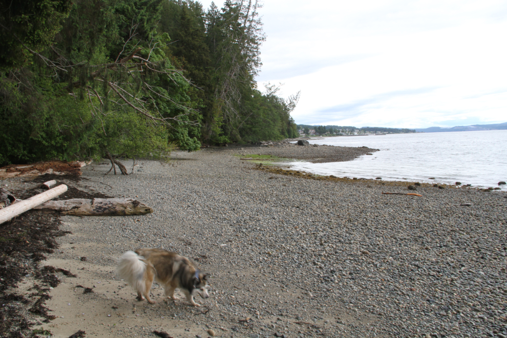
Staying on the beach, we eventually reached the log pond that The Hulks protect. It was great seeing them from water-level now.
The beach had been a much tougher walk than the trail, so we went back to the campground via road and trail. It was a really good 5-km walk in total.