A bit of granite therapy – hiking in the White Pass
I had to go to Skagway on Thursday to pick up a couple of packages at the post office, and it was one of those days that developed on the fly. I thought about taking the motorcycle, then maybe my dog with no dogs, then finally invited Bella and Tucker and packed everything I’d need if I decided to go hiking with the dogs. We hit the road just after 10:30.
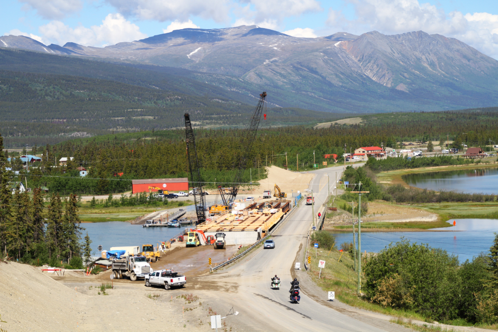
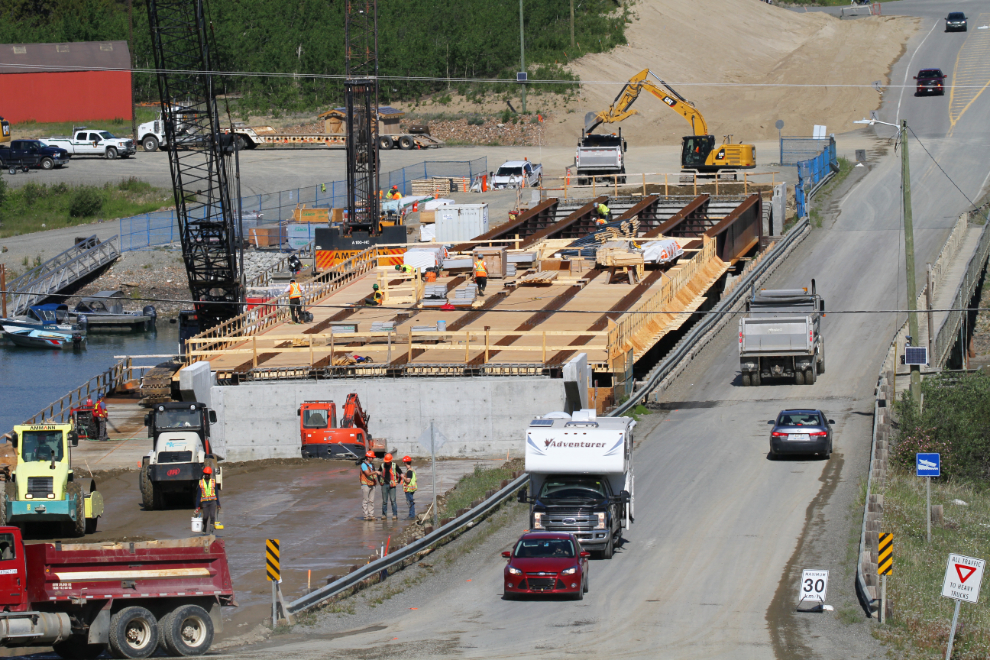
The new bridge that will carry the South Klondike Highway over the Nares River at Carcross was a very busy place, so I drove up what was once the access road to my cabin and took a few photos from there. I haven’t seen a completion date but the way it’s looking I’d guess sometime in August.
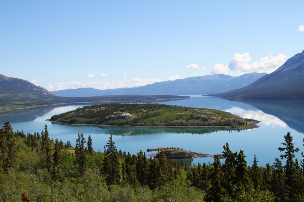
There was hardly a ripple on Windy Arm, so I stopped near the Bove Island viewpoint for a photo. This is a good example of why I never tire of this drive
There were 4 large cruise ships docked at Skagway, and it was a very busy place. I had to go to the post office 3 times, as it was closed despite a sign that said it was open.
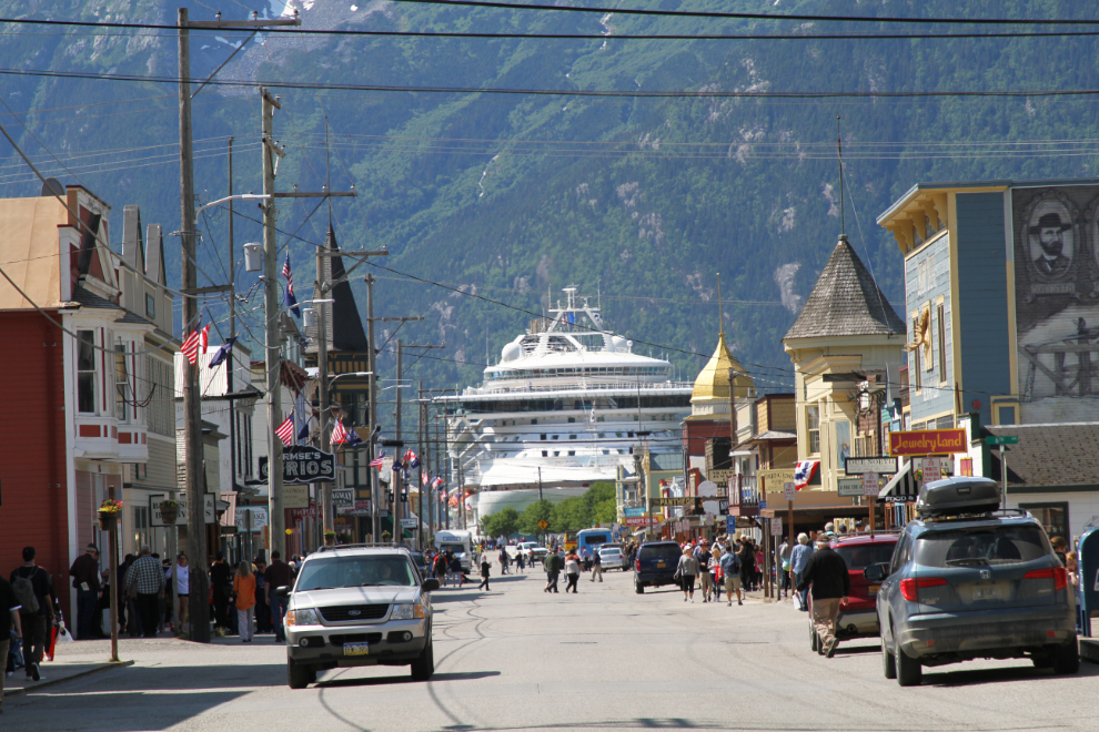
After picking up my packages, I took the kids for a walk to meet people at the Railroad Dock. This is something that’s always fun for all concerned, but this day was a particularly good one. Tucker can be a bit reserved, but he was right into meeting people, and he got a lot of attention – often Bella gets most of it.
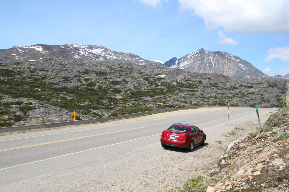
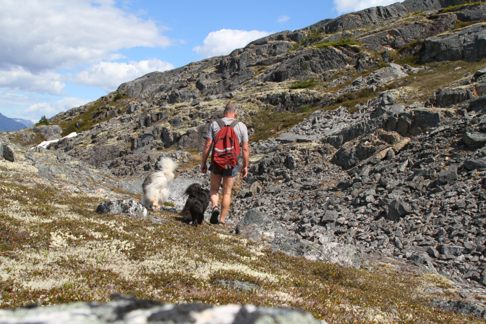
We headed north at about 2:00, still without a firm plan to go hiking. I pulled in to the parking area for the International Falls trail, thought about that for a couple of minutes, then went back a couple of hundred meters to the border. Instead of hiking west on a trail, we’d hike east, off-trail. Part of the reason was that I need Bella and Tucker to be leashed to hike the International Falls trail, because of the many cliffs – on the granite to the east they can be free the entire time. At 2:35, we started up.
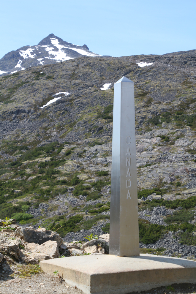
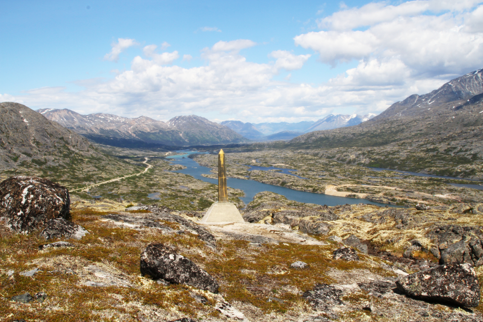
We’d be roughly following the physical border, and would see two of the border monuments. This one, just installed a few years ago, is just a few meters above the highway.
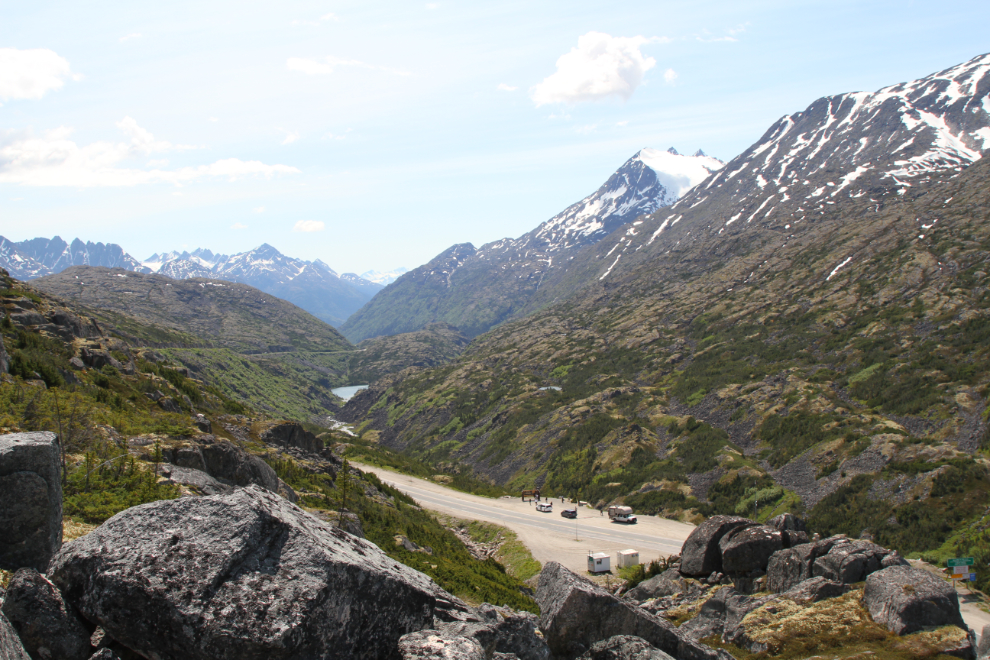
I chose to climb up our usual route, a steep chute of low vegetation with some rocks. The next photo looks south and down to the “Welcome to Alaska” sign – it’s right behind the small bus.
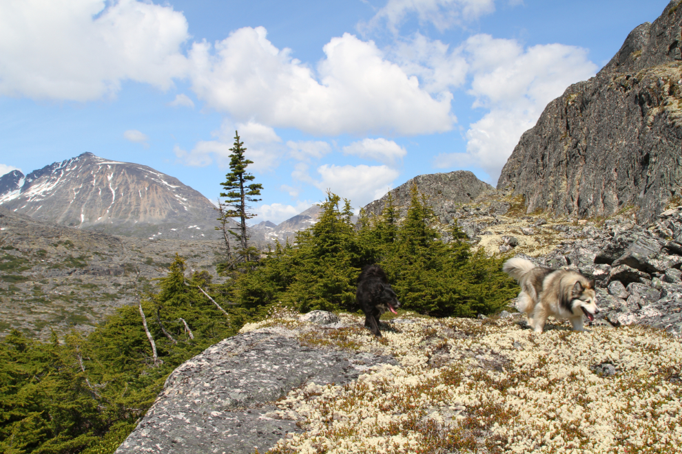
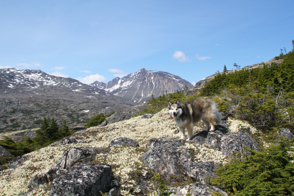
This route was a good decision. Mosses and lichens cover much of the granite, and Bella and Tucker were having a ball 🙂
A much higher view of the “Welcome to Alaska” sign.
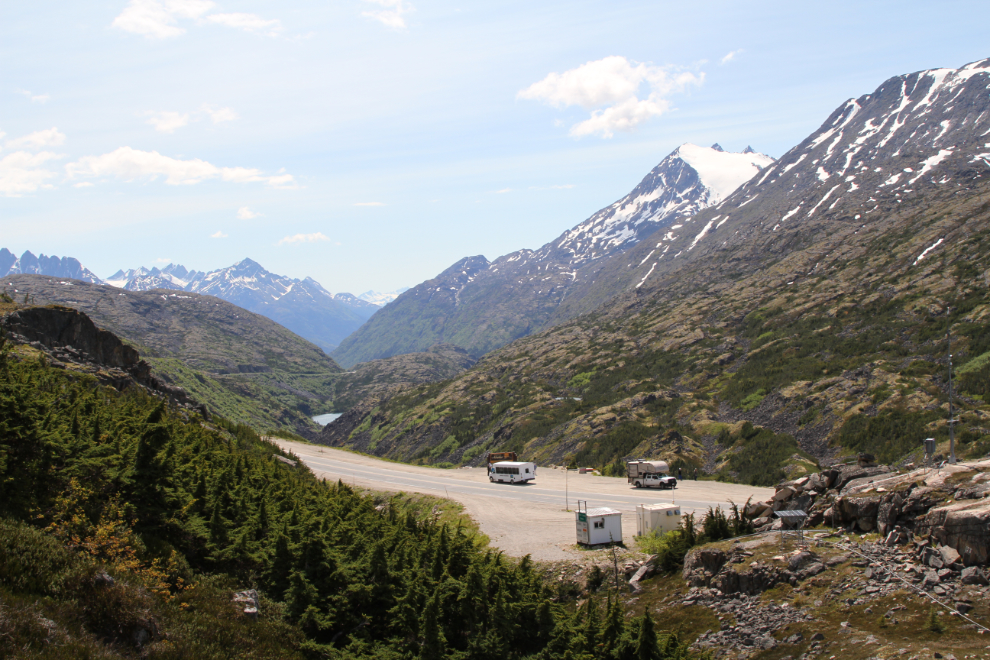
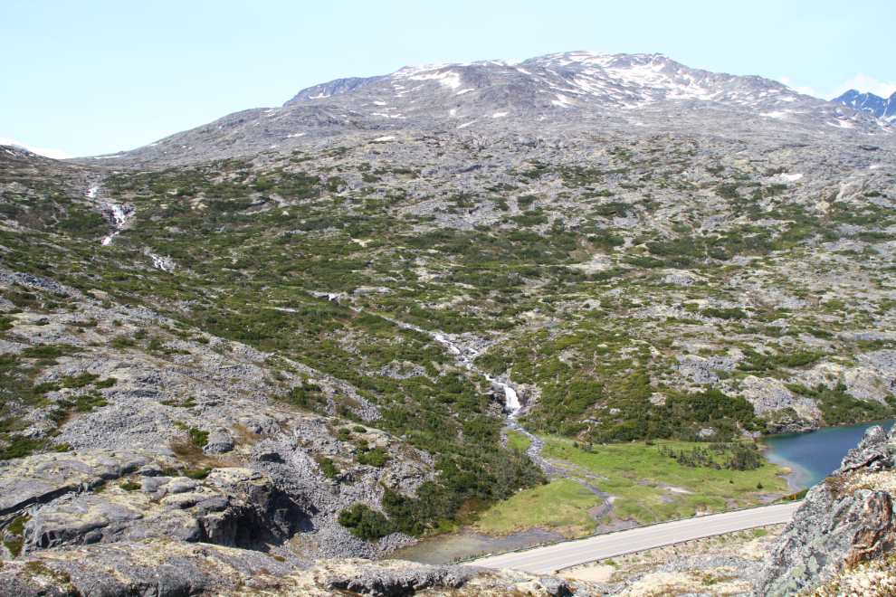
The International Falls trail goes up the right (north) side of that unnamed creek.
As soon as we were out of sight of the highway, I got comfortable – Nude Hiking Day is June 21st, but close enough 🙂 A few minutes later I staged this photo at a spot where I could set the camera up on a rock. I need to buy another tripod – after my last one died, the tripod I upgraded to is just a bit too large for hiking (it doesn’t fit in this daypack).
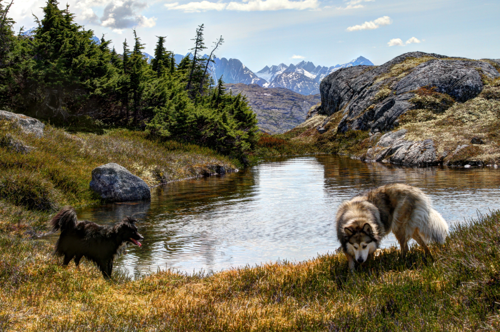
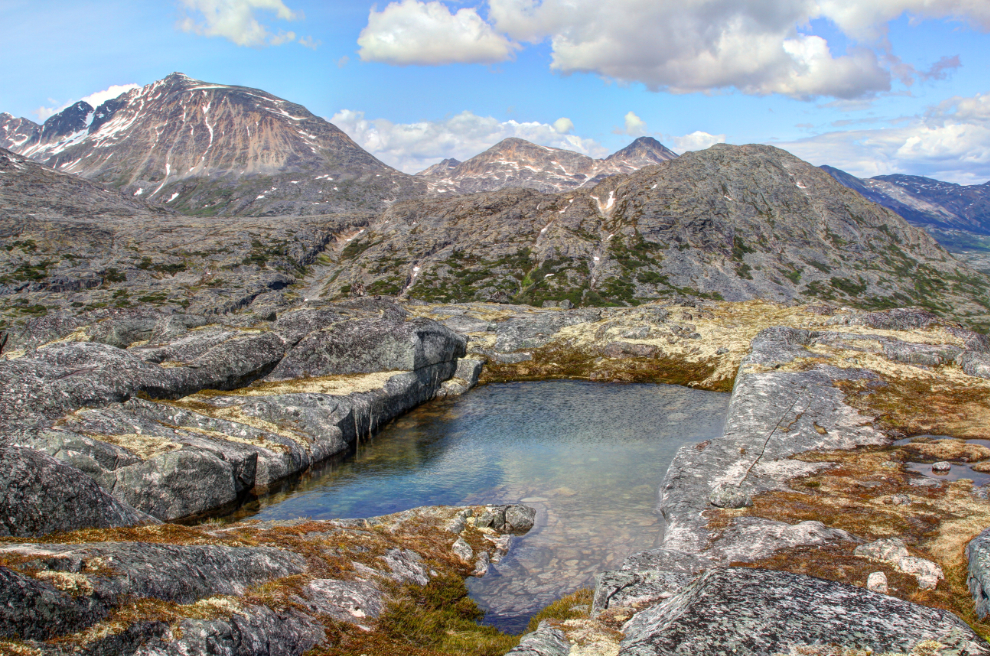
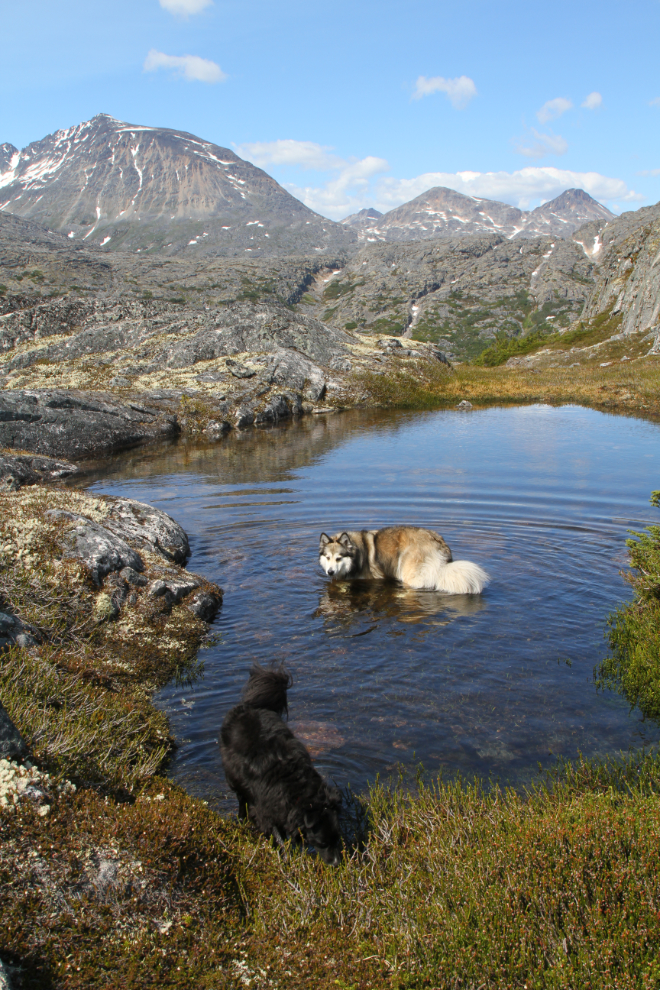
There are plenty of ponds in the high granite, and the kids took full advantage of them.
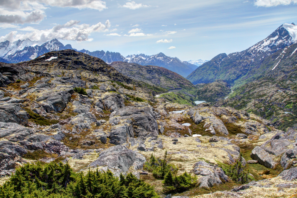
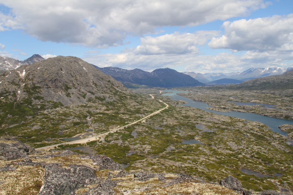
The view towards Skagway – the highway is in the centre.
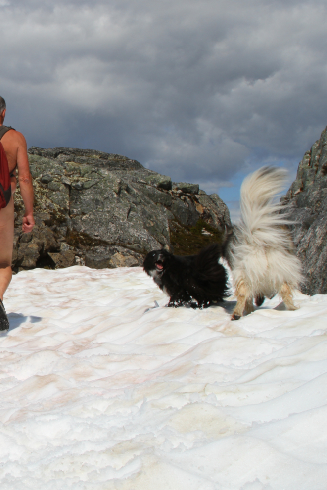
Bella and Tucker love getting to play in snow in June!
There are lots of glacial erratics – rocks of all sizes left by melting/retreating glaciers – through the White Pass. This view is to the east.
The view to the north, with the highway and Summit Lake. The mountain on the left is Summit Creek Hill – it’s quite a “hill” 🙂
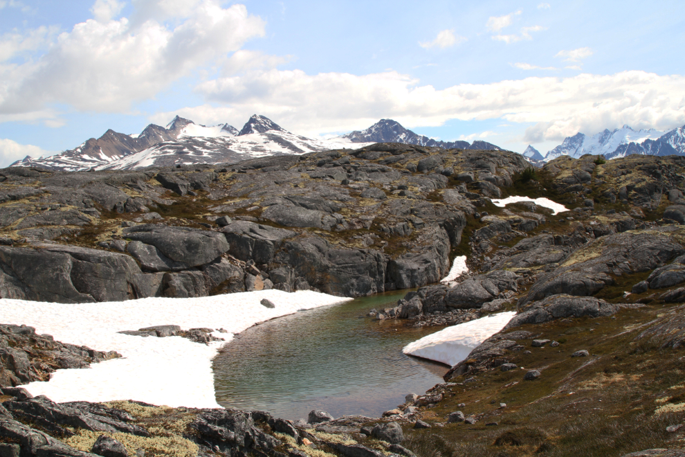
The next photo shows my favorite pond up there – so square it almost looks man-made. The smaller of these ponds warm up enough for a dip after a lengthy sunny spell, but we’ve had little sun in the past few weeks.
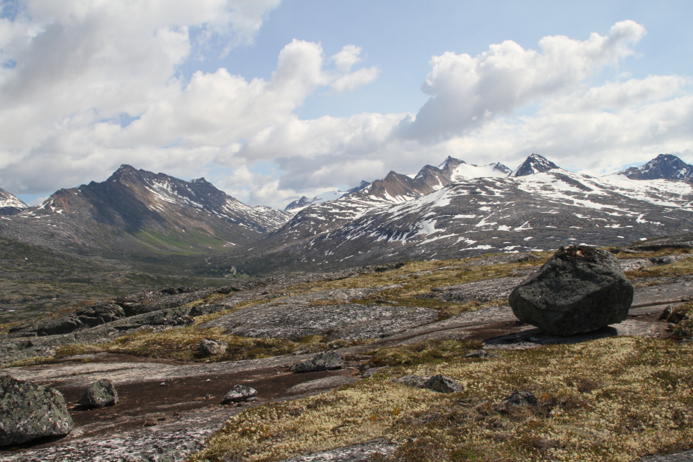
Some of the bowls that gather a lot of snow over the winter still have plenty of it.
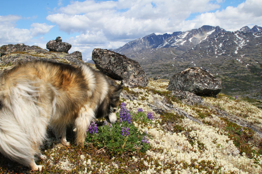
Bella knows that it’s good to stop and smell the flowers occasionally – I try to be like Bella 🙂
Starting back to the car, we returned to border monument #118, seen in the centre of the next photo, looking north again.
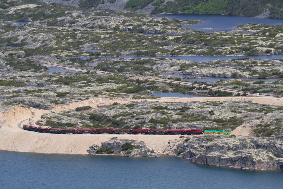
This was the first time I’d seen the new loop at the White Pass summit being used by a train. It was a huge project but sure makes the railway’s Summit Excursions more efficient.
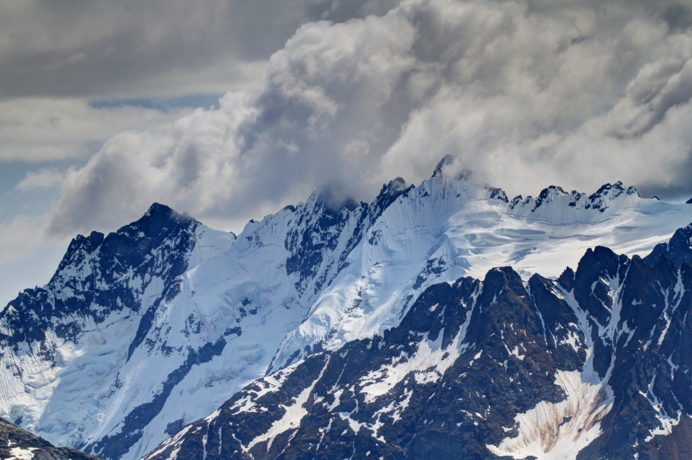
Stormy clouds over and among the spectacular peaks to the southeast provided some good photo ops.
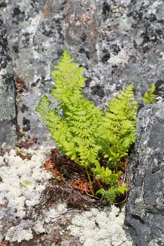
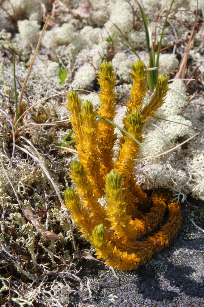
Rather reluctant to leave this wonderful place, I spent some time photographing a few of the little plants that manage to survive through the extremely long winters.
I sure love being able to put a smile like that on my little girl’s face. 🙂
A final dip before dropping back down to the car and starting for home.
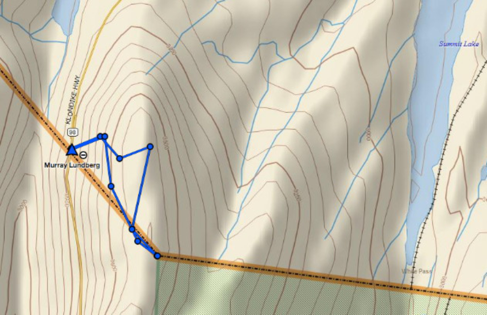
I’ll again end with a map of our route as recorded by my Garmin inReach. It wasn’t a long hike, but it was a very good one. In an hour and 40 minutes, we hiked 2.7 kilometers (1.7 miles). We began at an elevation of 3,289 feet, and the highest point we reached was 3,614 feet.