Hiking to the Samuel Glacier (the Chuck Creek Trail)
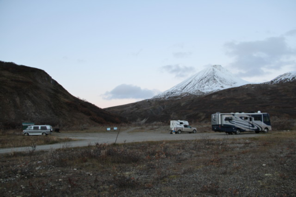
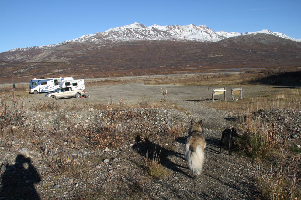
On Thursday night (September 29th), I had set up camp at the Chuck Creek (Samuel Glacier) trailhead. The large, level, sheltered parking area there would be a perfect base for what I knew would be along day on the trail.
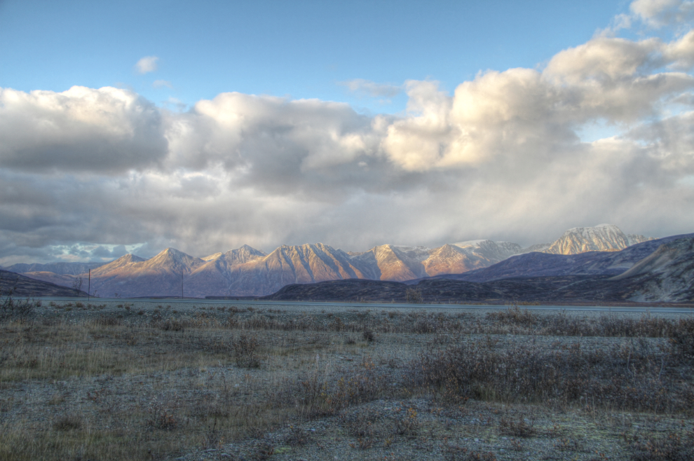
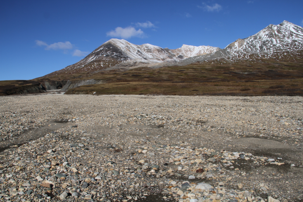
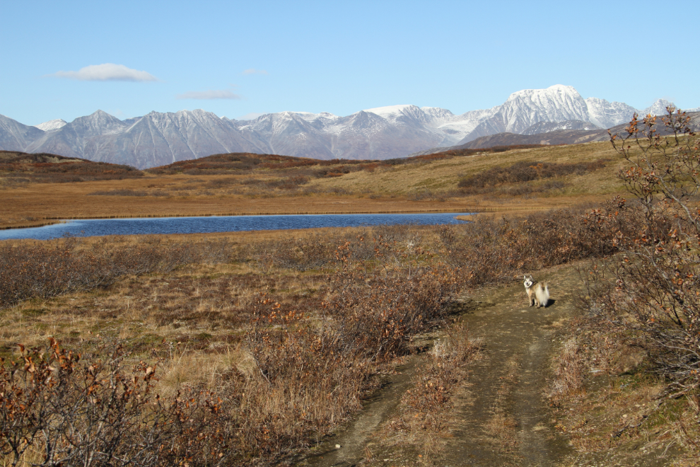
The view to the southeast at 07:28.
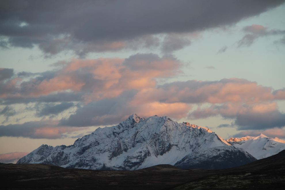
A couple of other campers had joined me late on Thursday night. I shot this just after 08:00. It wasn’t getting any warmer, but I finished off the article I was working on, had breakfast, and started to get ready for the hike.
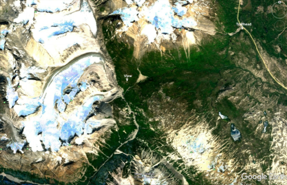
This image from Google Earth shows the basic layout, from the trailhead to the right, to the glacier view where I turned around, to the left. This region now (January 2021) shows a snow-covered landscape shot on November 30, 2017, on Google Earth. For more detail, though it doesn’t show most of the road/trail, see the applicable section of topo map 114 P/10.
The trail is entirely within Tatshenshini-Alsek Provincial Park, but there are no highly-visible signs noting that, no park rangers, and no fees. This park of almost 1 million hectares of rugged wilderness is fairly new, just having been established on October 15, 1993, and has no services.
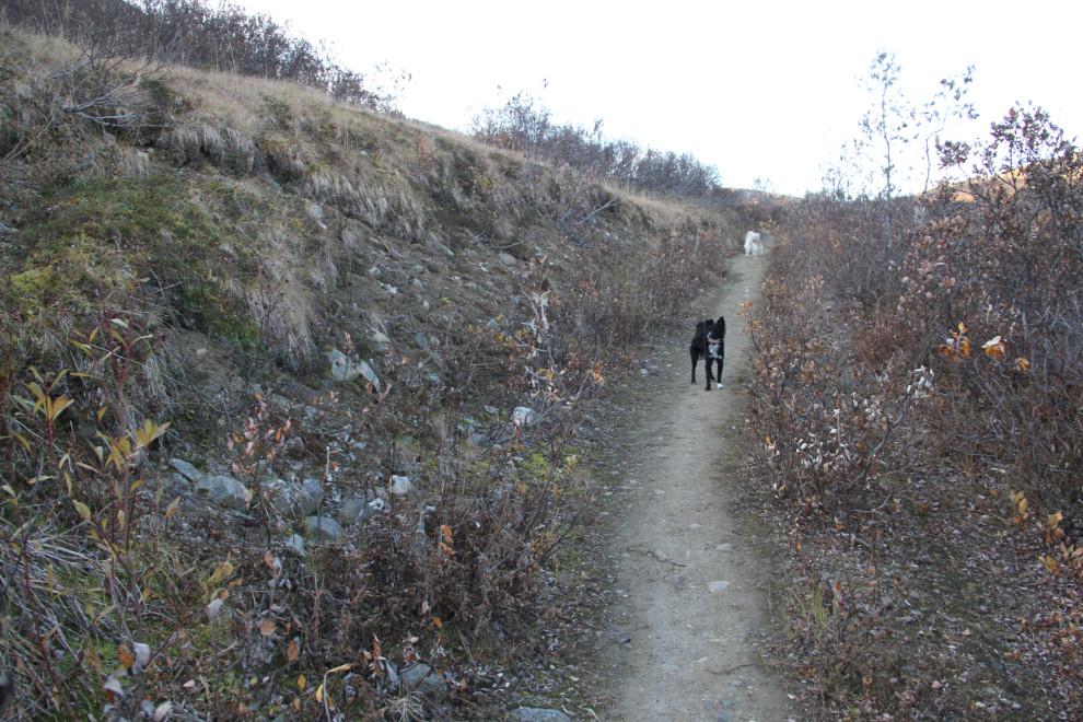
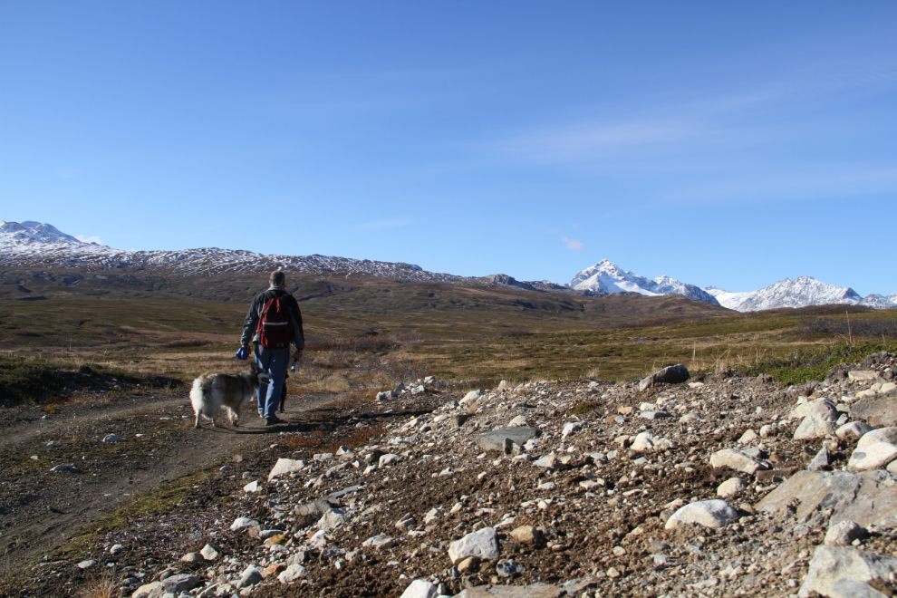
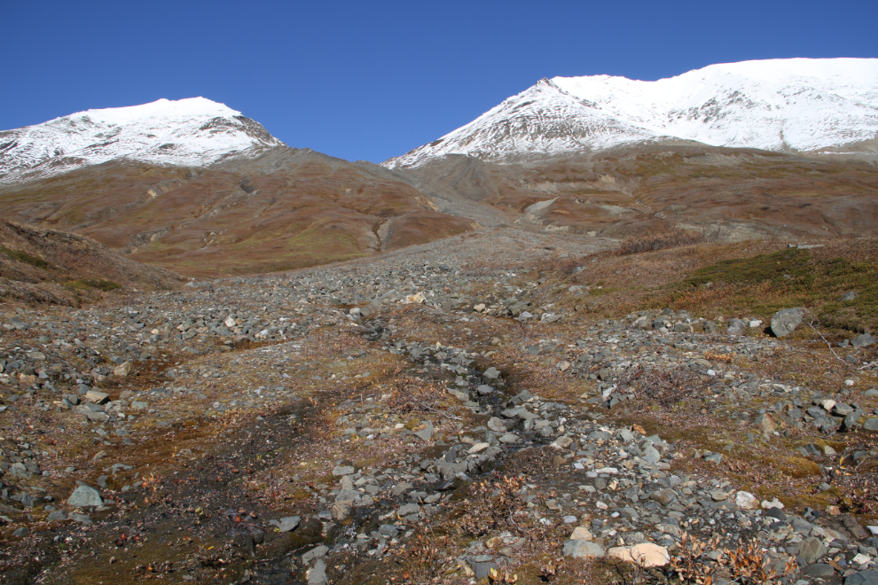
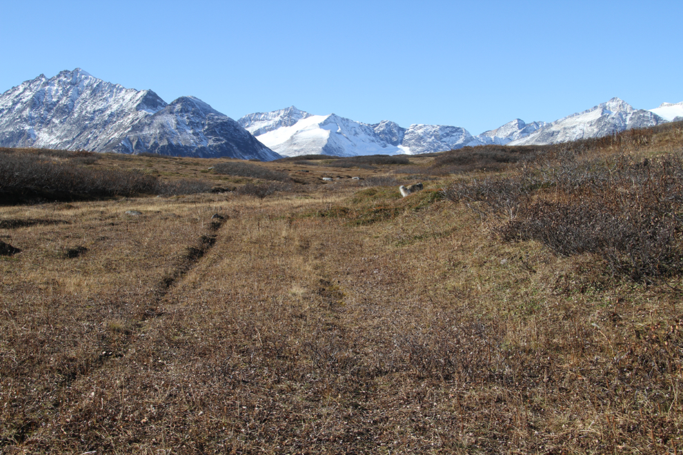
We finally hit the trail at about 10:20, with the temperature sitting at about freezing in the shade of Kusawak Mountain, but with no wind. There are 51 photos in this post in an attempt to show you the wide range of conditions along the trail, and each photo caption includes the time I shot the photo. In this case, it was 10:31.
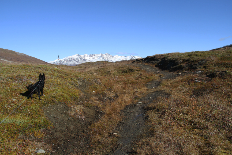
Although the trail sign calls this the Chuck Creek Trail, by 10:43 we had already climbed above the Chuck Creek drainage. It’s a very short creek – a tributary of Nadahini Creek.
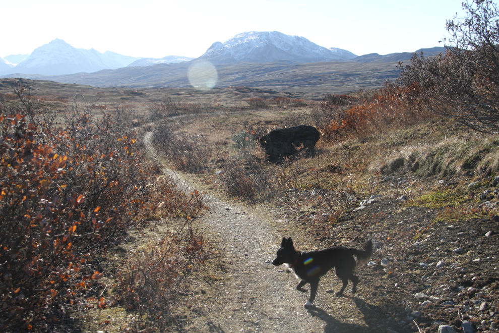
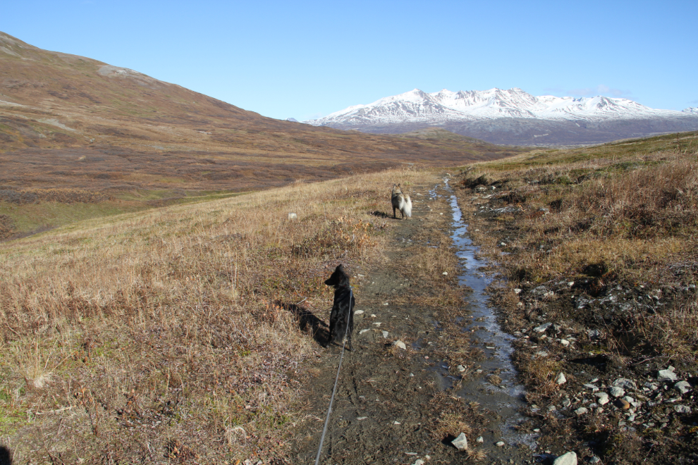
10:49. After the initial few hundred meters/yards of brush along the trail, the trail/road became very good, and the views were wonderful. Brush may not sound like a big deal, but it hides grizzlies, and there are a lot of them in this country. Seeing them, sometimes very close, and sometimes having to use bear-bangers, are common comments about this trail.
10:55 – damn!! This bear was very close to the road, but with the brush I couldn’t be sure exactly where the road was. But… although it looked like he was feeding, he wasn’t moving. I watched and I waited. And then I waited for another couple of minutes. No, it couldn’t be a bear. On we go, with my bear spray in my hand, the trigger guard off.
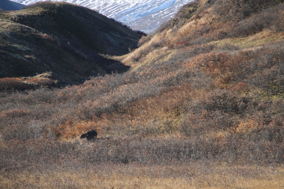
Haha – that was my bear! A bare/bear rock in shadow. But it made Tucker very nervous – he barked like hell when he first saw it. He wouldn’t go near it until I started walking around it, and then he was behind me 🙂
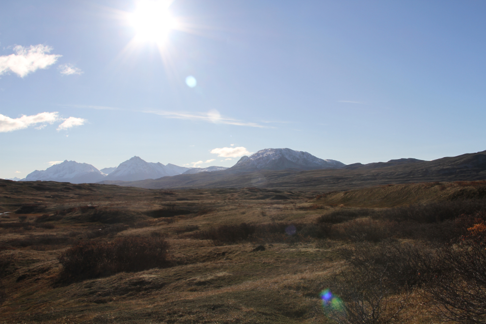
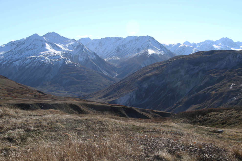
11:01 – yes, this day rated a 10. Nice work indeed, Mother Nature!
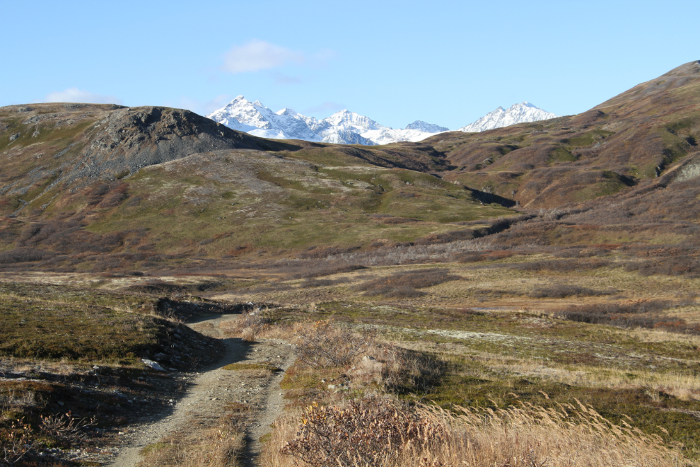
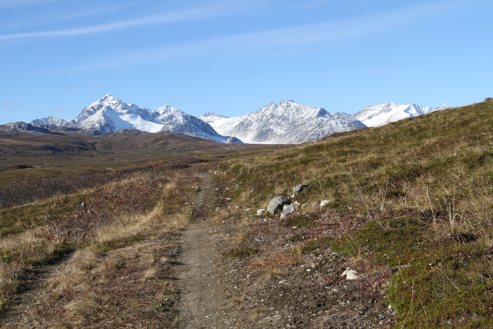
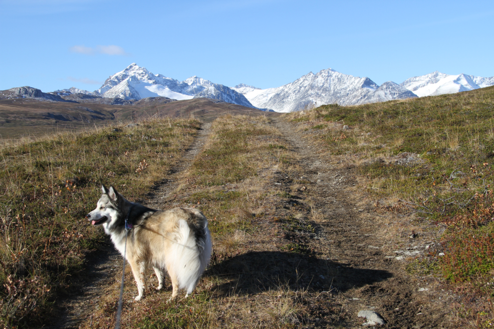
At 11:14, it was clear that the mountains directly ahead were the ones in which the Samuel Glacier was still hiding.
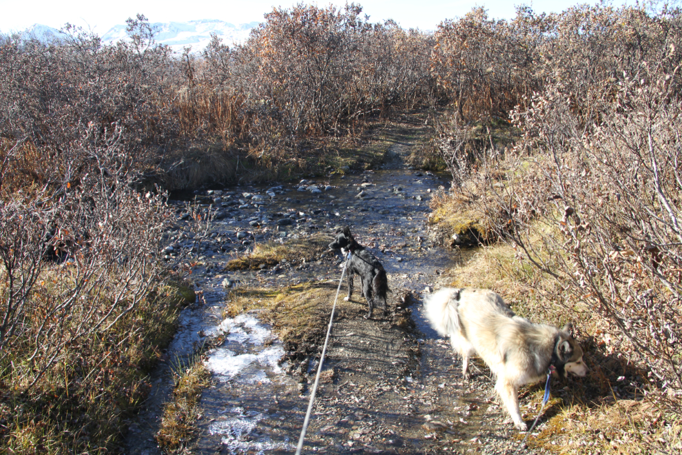
11:18 – brush and one of many little creek crossings along the trail. Because of the potential of meeting a bear, Bella and Tucker were still leashed. I still often think about our bear attack in Tumbler Ridge in late April – if they had been loose, it could have had a very different result.
11:21 – it was warming up nicely, but there was still lots of ice around.
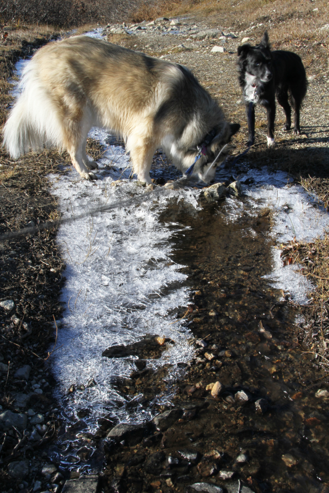
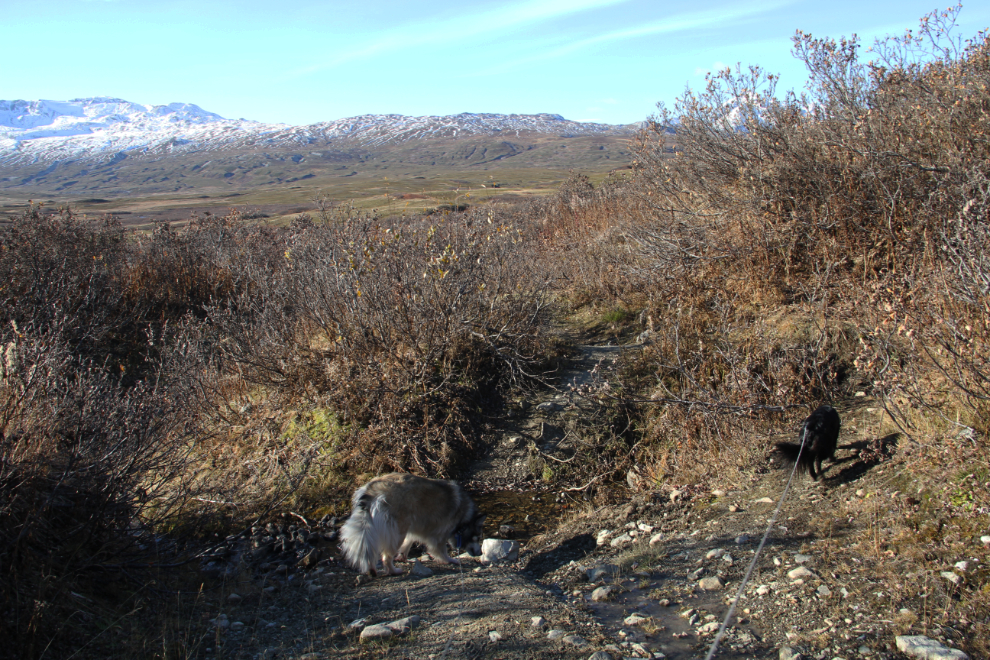
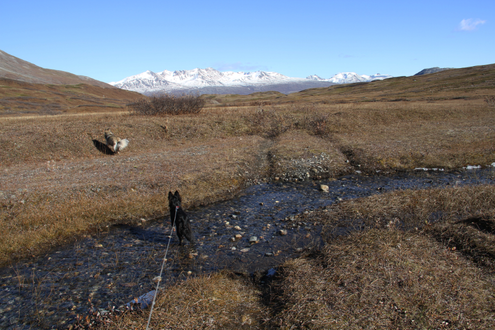
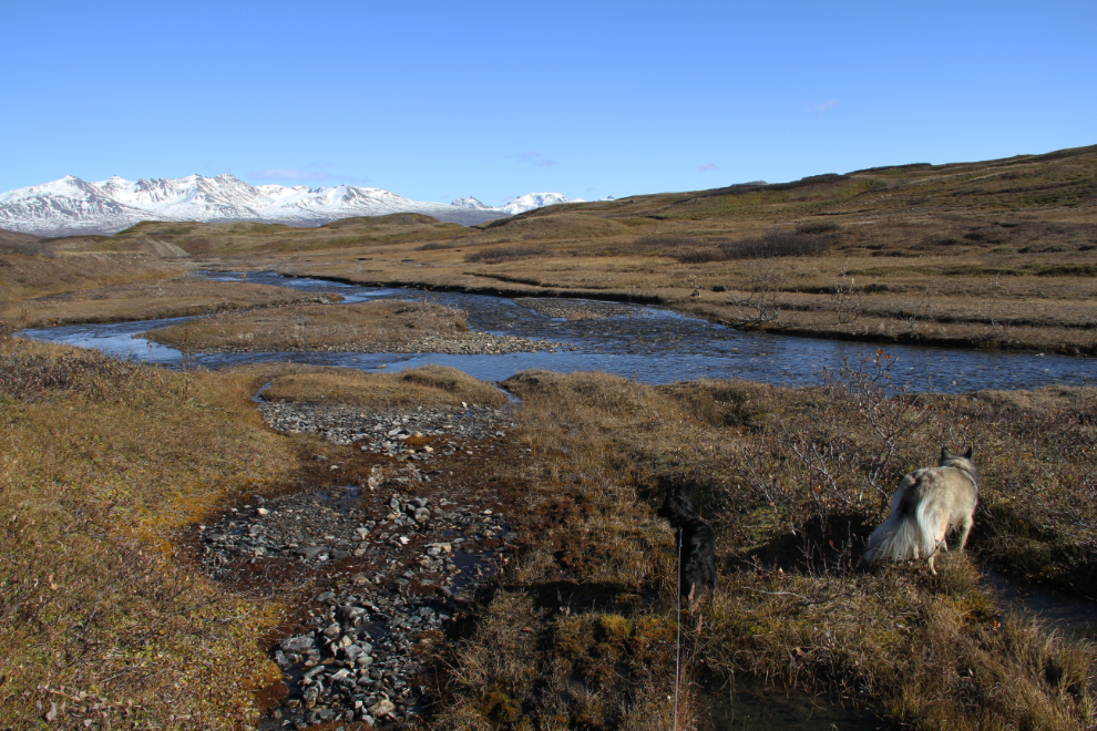
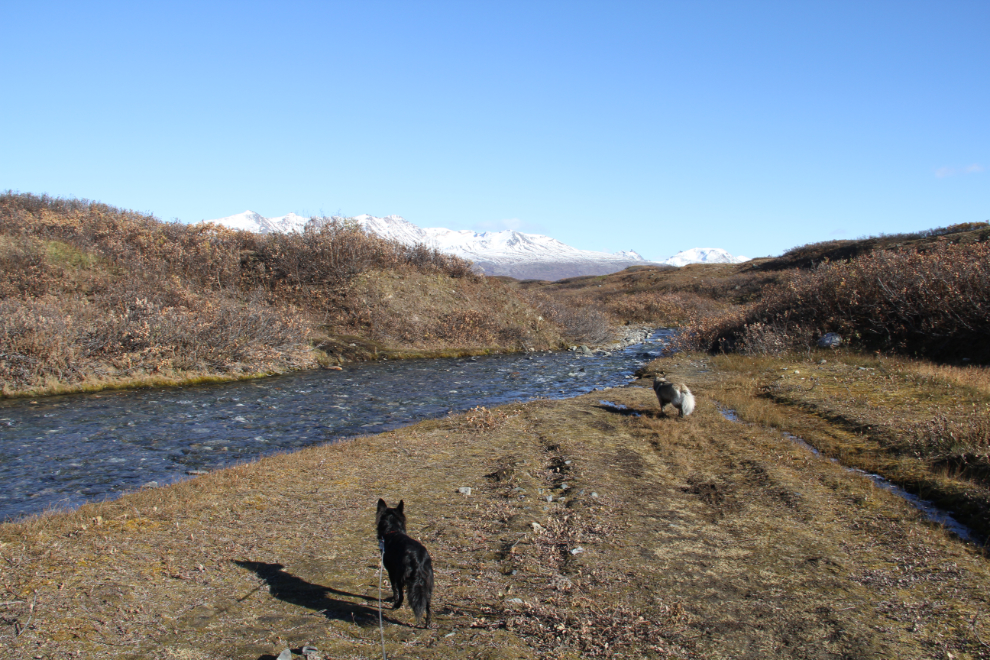
At 11:22, the largest creek yet took some care to get across without getting wet feet
There’s pretty much a perfect day to be out in the mountains with my very happy little girl.
I’d forgotten my tripod at home, but at 11:35, a convenient rock allowed for a selfie. With the bear spray still in my right hand because brushy stretches continued to be fairly common.
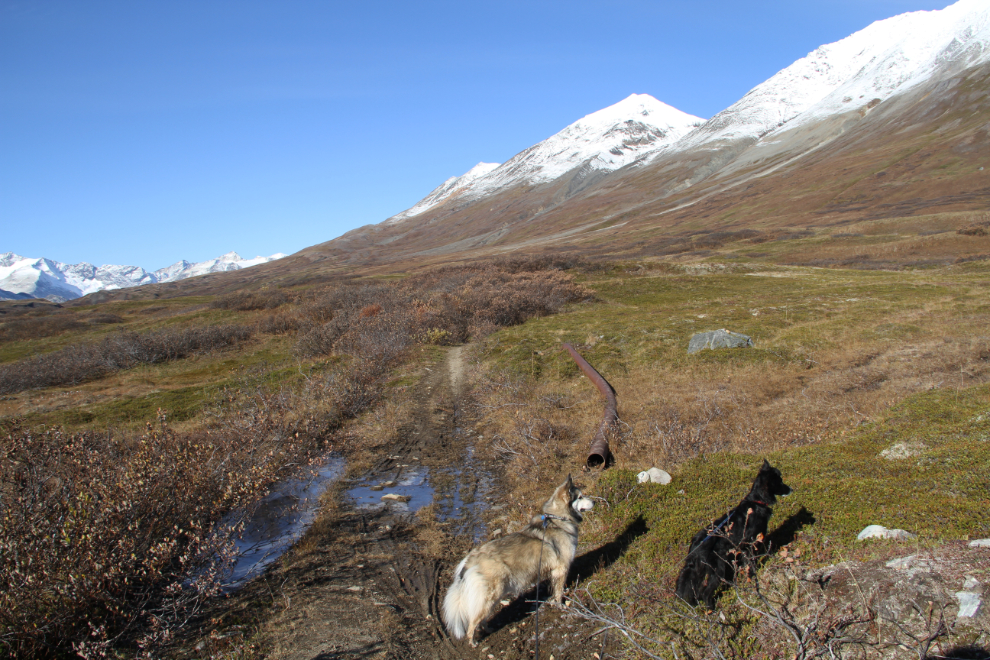
11:44 – lots of wet stretches, lots of brush. Pieces of pipe/culvert were starting to show up from the road’s mining days. The kids were often distracted by willow ptarmigan, Arctic ground squirrels, and heaven knows what other creatures.
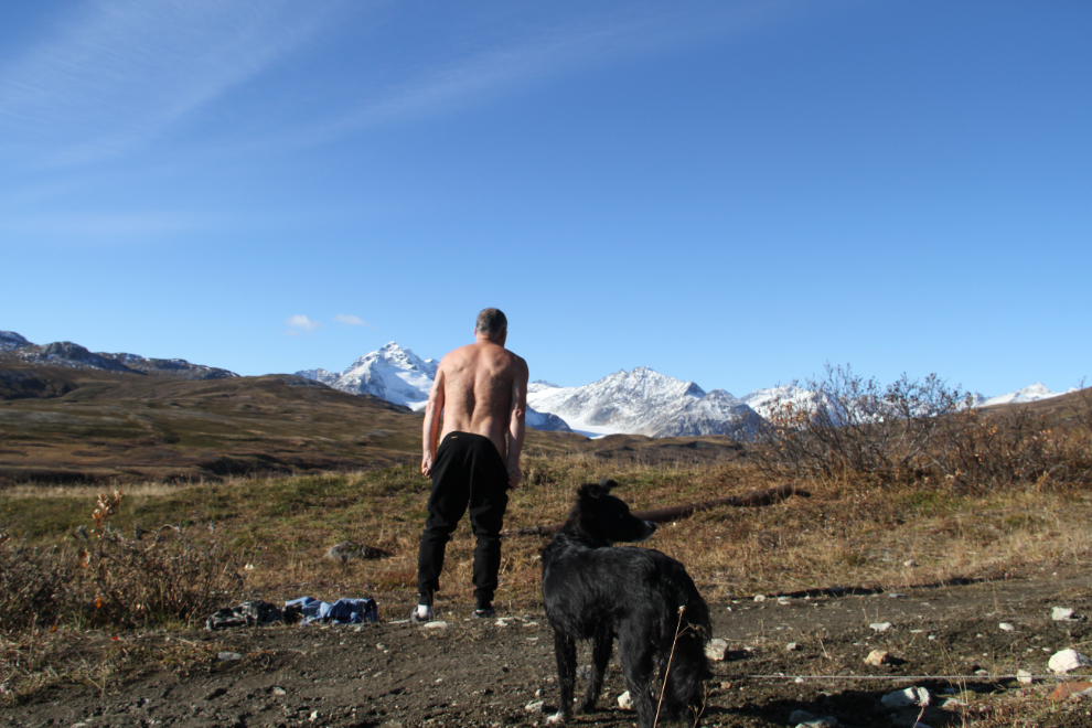
Just before noon, it was time to get out of my base layer. It was certainly needed that morning, but was far too warm for that now. And while we were stopped anyway, eating a bit of our lunches was in order as well.
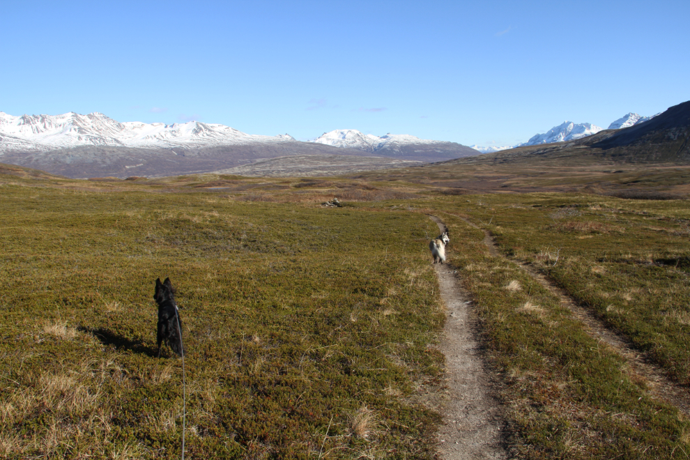
As we got packed up to start hiking again at 12:07, I could see that there was a very long stretch of brush and probably wet road ahead, and decided to take another route to avoid both.
12:35 – the new route was straight up the side of Nadahini Mountain.
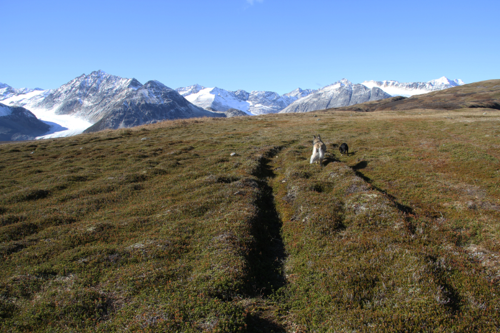
12:37 – the view was much better from about 1,400 meters (4,593 feet). The batteries had died on my trail GPS (a Garmin Summit), so I’m just guessing at the altitude I reached. Up in an area where I could see bears for a very long distance, it was great to be able to let Bella and Tucker off their leashes, too.
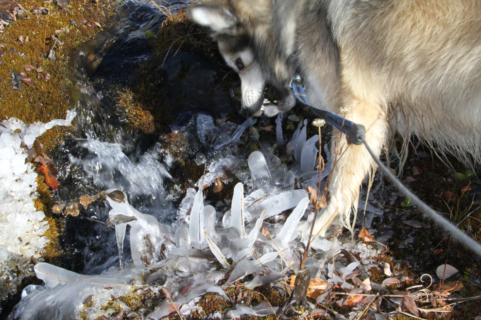
At 12:47, Bella thought that this creek growing its own popsicles was just the best thing to play with! 🙂
12:48 – there are several gullies cutting the slopes of Nadahini Mountain and the other unnamed peaks of the Datlasaka Range, and I kept going higher avoid them. This one, though, went high enough on the slope and had reasonable slopes so I hiked across it.
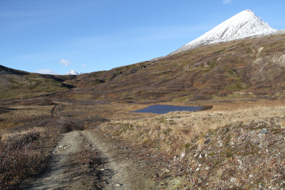
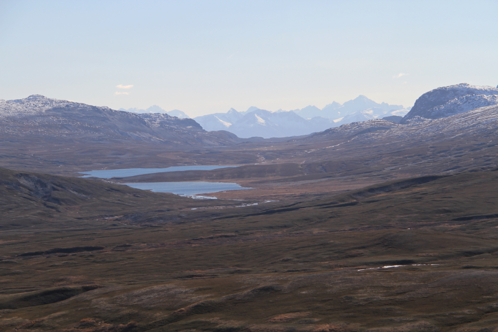
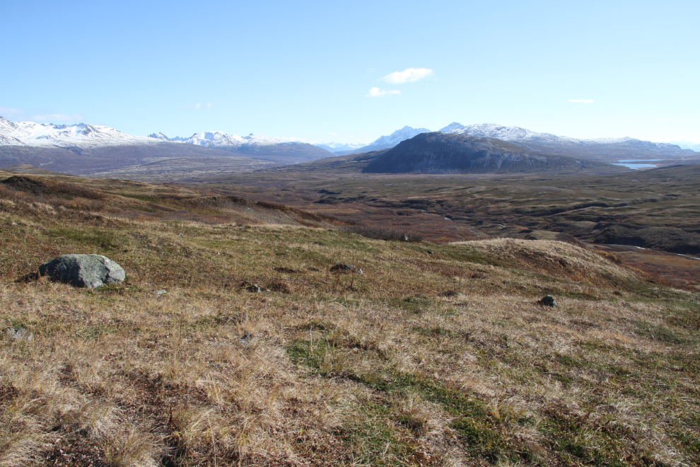
The Mineral Lakes off to the south, at 12:53. In the vast valley that I could now see, I saw nothing moving – in particular, no bears and no caribou, both of which I expected to see.
Looking straight up another wash to the unnamed peaks at 12:55.
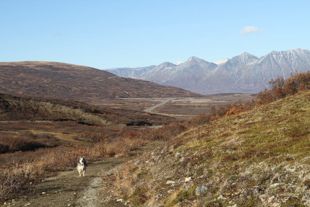
By 1:10, I had started angling down the slopes, as I could see that there were no bad gullies ahead. This is the view back to the east-southeast, with the Mineral Lakes on the right, and Clear Creek below. Occasionally flashes of light could be seen as sunlight reflected off the windows of vehicles on the Haines Highway towards the left of this photo.
At 1:15, I could see a large very wet area ahead, so stayed above the worst of it. More and more of the Samuel Glacier could be seen as I walked, and my goal was the top of the ridge just to the right of centre in this photo, where I expected that the toe of the glacier would be visible.
1:24 – still angling down and avoiding most of the brush, wet areas, and other obstacles. Below, I could see the guy from the white van at the trailhead heading back, and I was curious as to whether he was on a trail or just going cross-country as I was. I’d not seen any mention of a trail in this area, so I expected he was choosing his own route.
I was quite surprised to find an old Cat track at 1:39. Not surprised since it is an old mining area, but surprised that I’d not seen it mentioned in any trail description, though hikers had obviously been following it, as I did.
1:44 – the Cat track was an excellent route, as it avoided the same sort of obstacles that I wanted to avoid. So up and down we wandered across the low ridges.
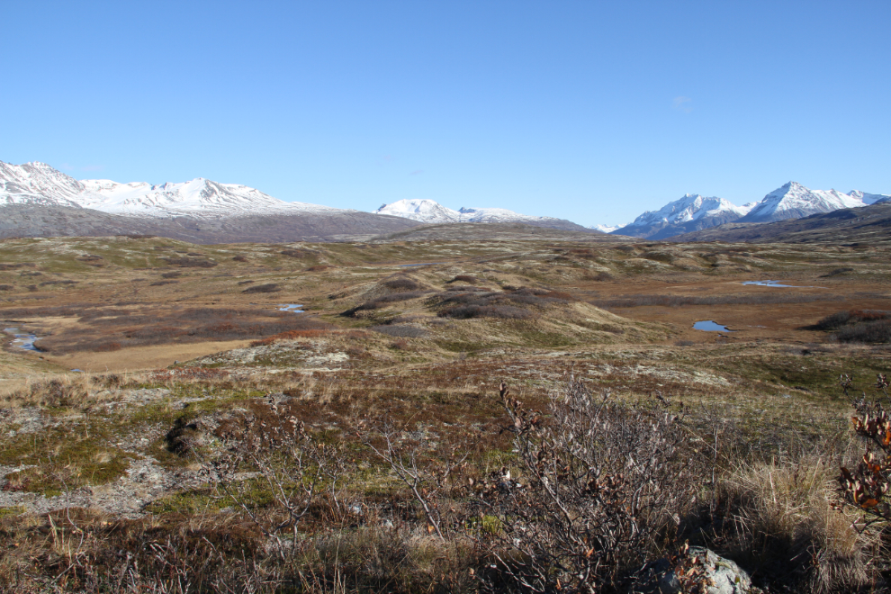
By 1:49, I had left the Cat track as it was veering away from the ridge that was my goal. This odd hummocky slope has me wondering what might have caused it. The Arctic cotton grass – the white dots to the lower right – are usually a good indicator that wet ground is there.
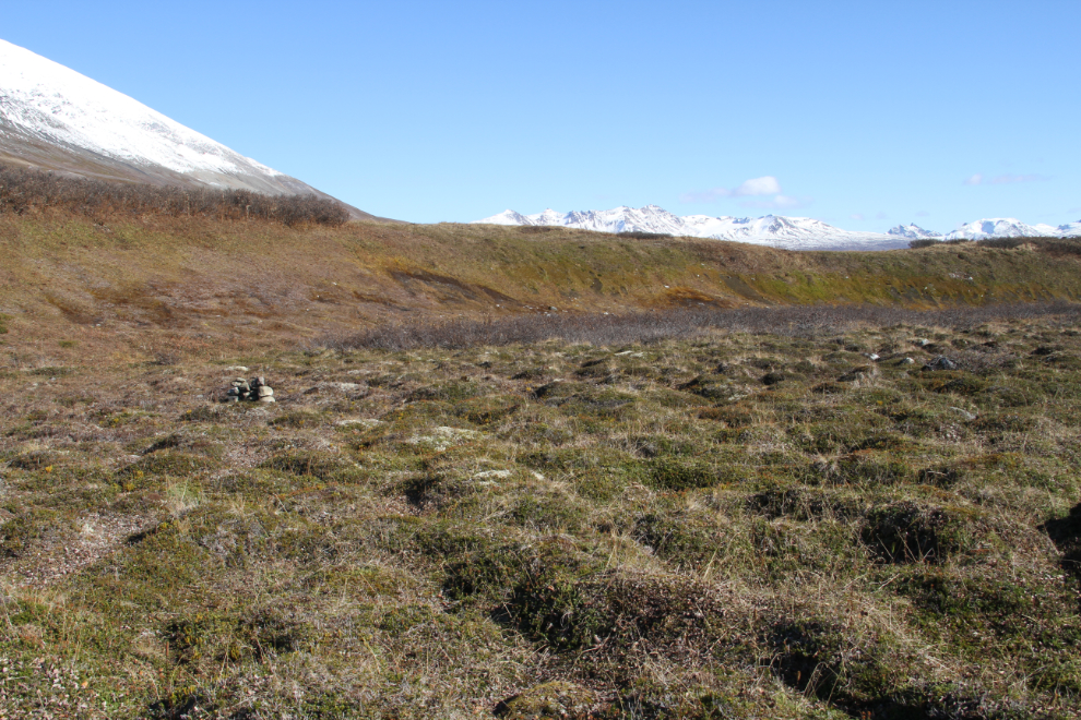
Looking back at the only cairn I’d seen so far, at 2:00. Built in another area of hummocks near the edge of a large outwash plain, I expected that it marked the best route, especially since I’d first spotted it directly ahead on my route. As it turned out, however, I found a better route a bit higher up on the hike out.
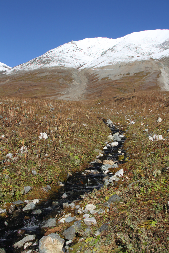
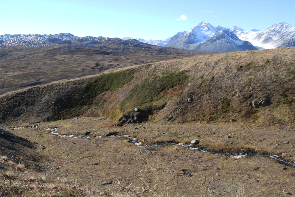
Crossing the outwash plain at 2:04. It’s hard to imagine the volume of water that it took to create this. Wikipedia explains an outwash plain: “…also called a sandur (plural: sandurs), sandr or sandar, is a plain formed of glacial sediments deposited by meltwater outwash at the terminus of a glacier.” A creek at the western side of the outwash was hard to cross in many places without getting wet feet, but a short detour took me to an area where it split into several braids, each of which was easy to cross.
Bella and Tucker had been really good about staying with me, partly because they were always in front of me, and if they started off after anything, an immediate correction brought them back. After we crossed the outwash plain, though, they dropped behind me, and Tucker disappeared. I called and called and called, and finally spotted him near the top of a distant ridge to the north, still running hard. He finally responded to my now-frantic calls, but it took a long time for him to get back to me.
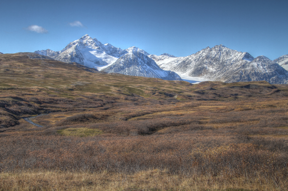
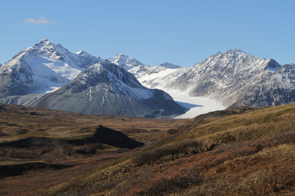
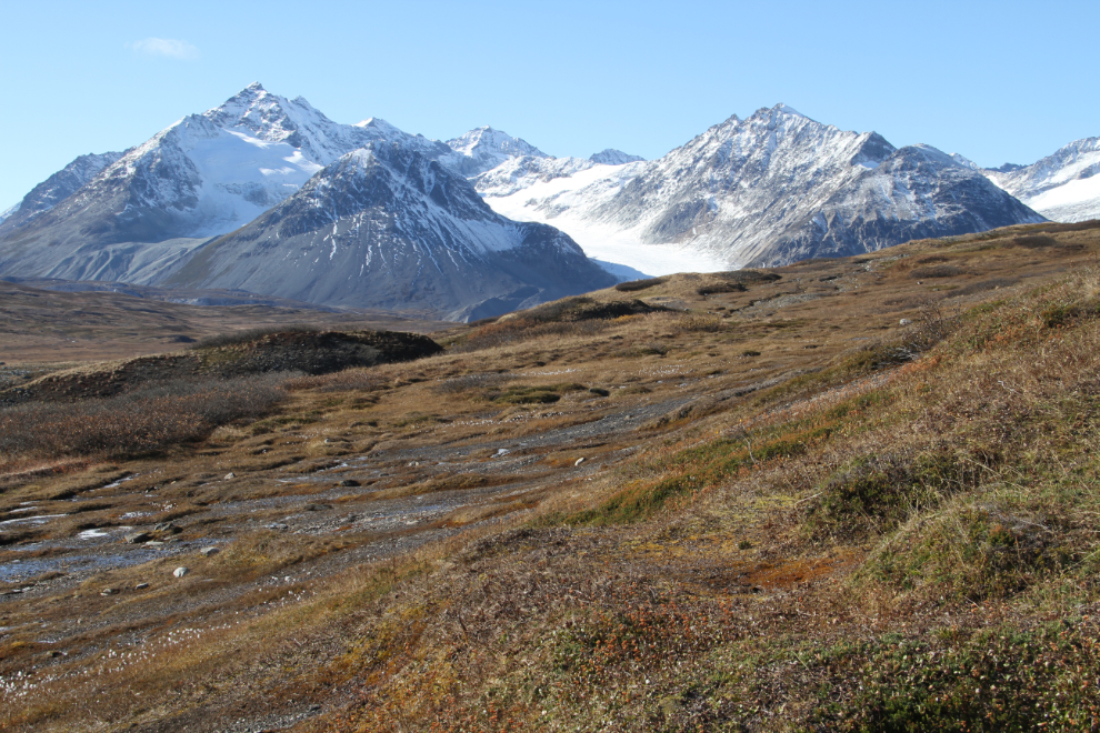
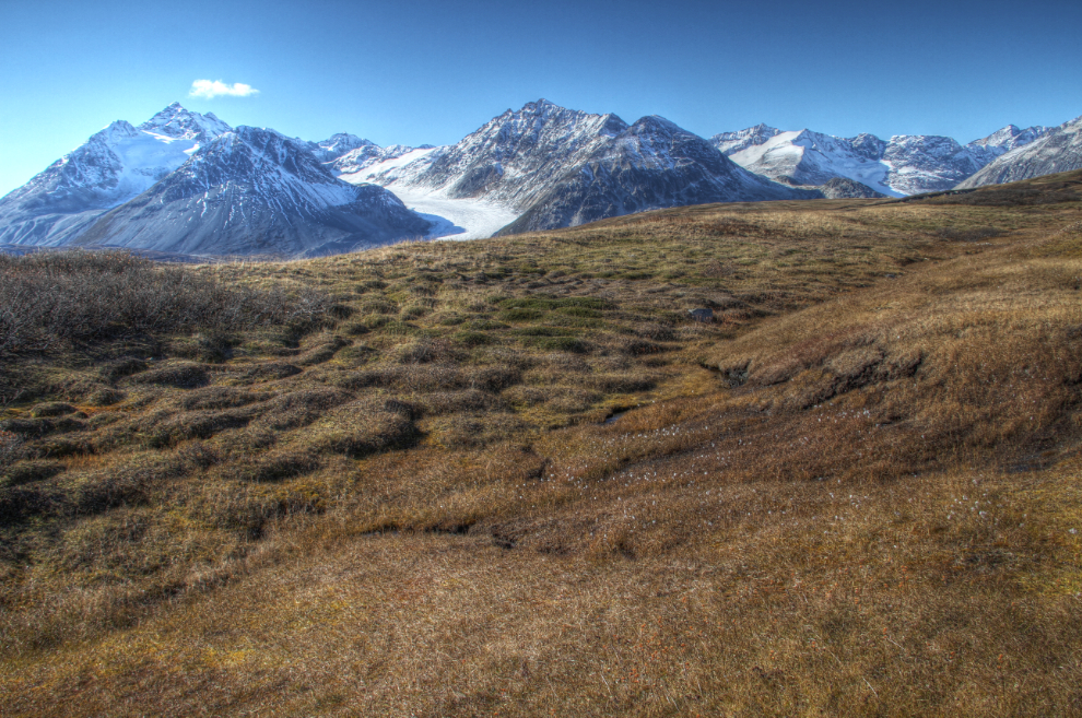
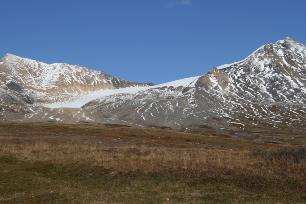
At 2:18, I reached the ridge I had been aiming for, and got the view of the Samuel Glacier that I had expected.
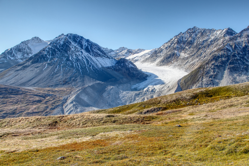
A closer look at the Samuel Glacier – actually, the south arm of the glacier. There was obviously so much more to see here, but I was still very upset from Tucker’s side-trip, and was also very conscious that we were no longer The Land of the Midnight Sun. I had a long trek back before the sun went behind the mountains and the world started to go dim.
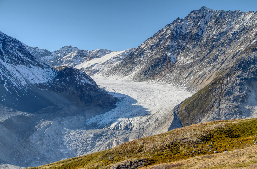
The main arm of the Samuel Glacier to the north would take a fair hike to see much of, so that wasn’t an option this time.
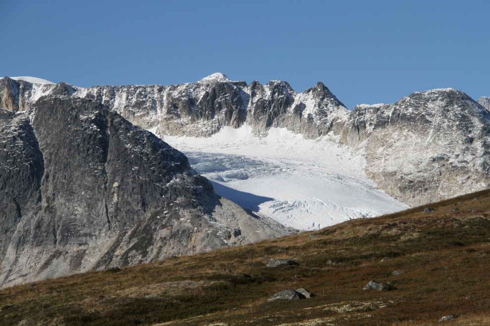
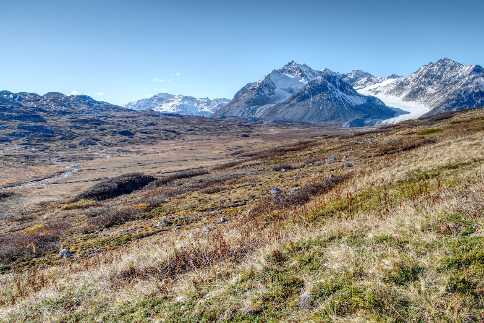
One more shot looking to the south from the ridge, and 3 minutes after getting there, I started the hike back. I decided to leave Bella free, but Tucker had to be on a leash to keep me sane. Kids!
This is what’s left of the unnamed glacier in the Datlasaka Range that created the large outwash plain. Even the topo map, from aerial photos shot in 1979 and 1980, show it as being much larger.
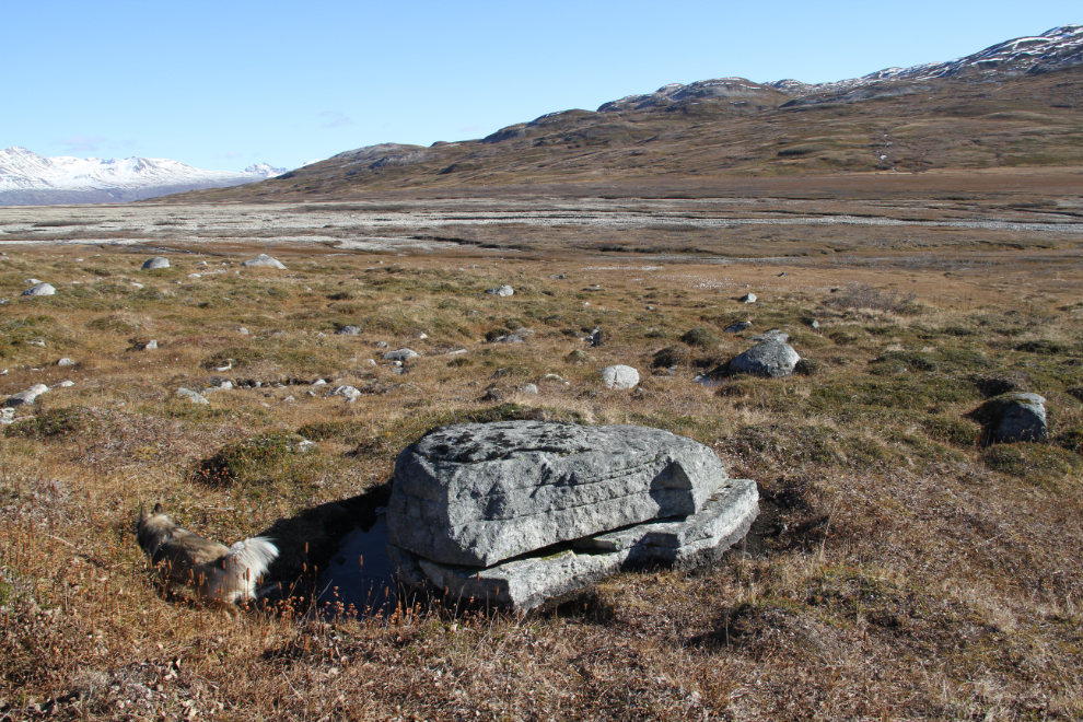
2:30 – imagine the forces required to not only split that boulder that Bella is passing, but even to move the top part of it. The natural processes in glacial areas fascinate me.
We were soon back on the Cat track, and decided to follow it to the road, and the road all the way back to the trailhead. This photo was shot at 2:57.
At 3:02, we reach the first crossing of Clear Creek. I brought water shoes but had expected larger creek crossings. This was small enough that I just took my boots off and walked across barefoot. A tiny cairn, barely visible to the right of centre in this photo, indicated the start of the trail on the far side of the creek.
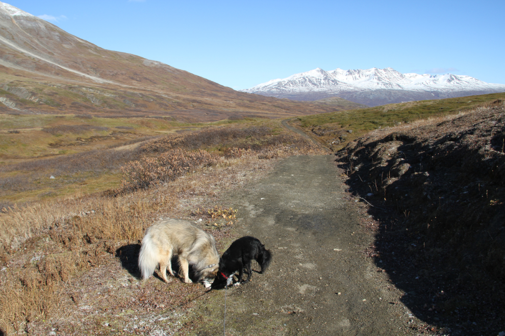
On the trail – the old mining road – at 3:11.
3:17 – “anybody home?” 🙂
3:18 – now well thawed by the sun, the trail was very muddy, and slippery in places.
3:22 – there was a lot of water seeping from the slope above the trail in many places.
At 3:29 we reached the main crossing of Clear Creek, which was also very easy – easier than I had expected.
On one of the truly superb sections of the trail, at 3:45. The Haines Highway cut can be seen on the distant slope.
The distinctively post-glacial landscape at 4:19. Just ahead, I saw a couple of people setting up camp far below the trail. About 15 minutes later, I heard a bang-banger, and 3-4 minutes later, a second one. That’s not good!
4:31 – Bella hates! anything that sounds like a gunshot, and the bear-bangers made it difficult to keep her with me.
At 4:43, with the highway in sight and the trailhead just a few minutes away, I had to bring Bella right back and put her on-leash to keep her safe.
Back home, at 4:55, 6 hours and 35 minutes after leaving. YukonHiking.ca says that the trail is 21 km (13 mi) long, so about 22 the route I took. Bella and Tucker were as tired as I was, and we were all soon in bed. I got up after about 2½ hours, but the kids wanted to stay in bed. I made them get up for dinner, and then they crashed again.
I was actually rather disappointed in the Samuel Glacier trail, which often just felt like a slog. I think that as an overnight hike it would be superb, but perhaps even in July when the sun is up for 18 hours or so it would be better. There’s more to see – the main arm of the Samuel Glacier in particular – so I expect that I’ll be back again.