Haeckel Hill – wind turbines and a forestry lookout tower
On August 2st, I drove up Haeckel Hill for a look at the four new (2023) wind turbines and the old forestry lookout tower. I’ve been up a few times, but have never posted here about it before.
The road up Haeckel Hill (Haeckel Tower Road) is rough, but with care, a normal car can make it up. The first photo shows the start, from the Fish Lake Road.
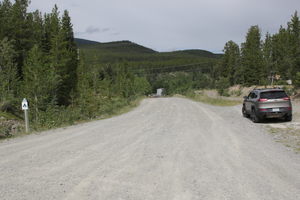
To hike the Trans-Canada Trail, park here and walk to the right (the next access is at Kulan Industrial), to go up Haeckel Hill, turn left.
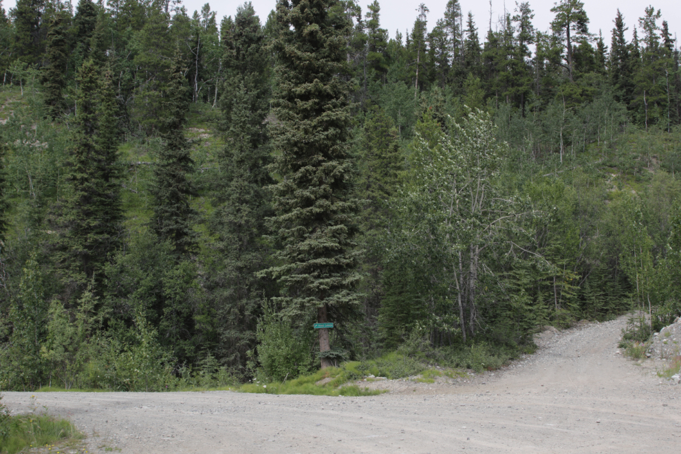
Five minutes up, four signs mark the start of the serious climb.
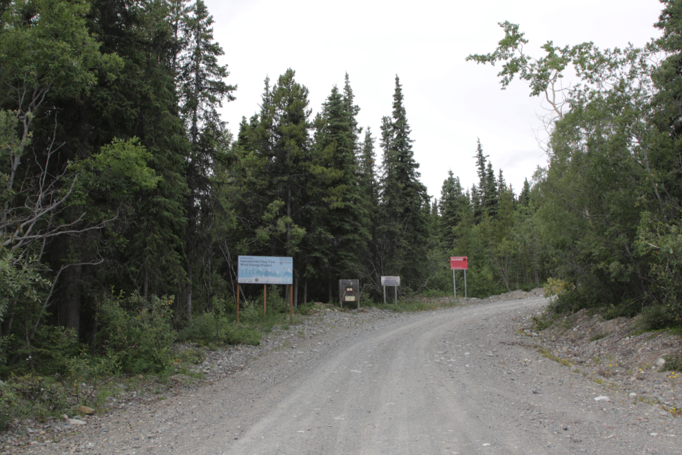
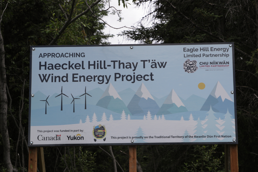
The first sign says that you are approaching Haeckel Hill – Thay T’äw Wind Energy Project.
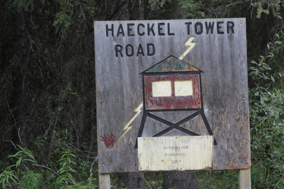
The next sign has been there for many years.
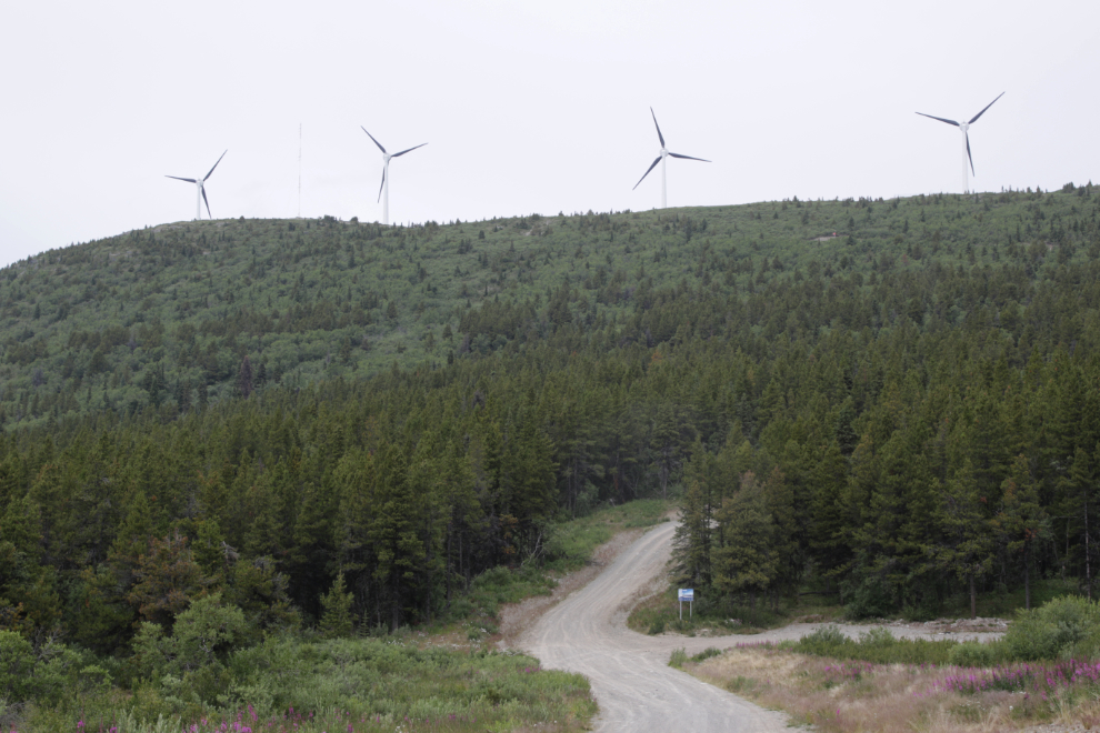
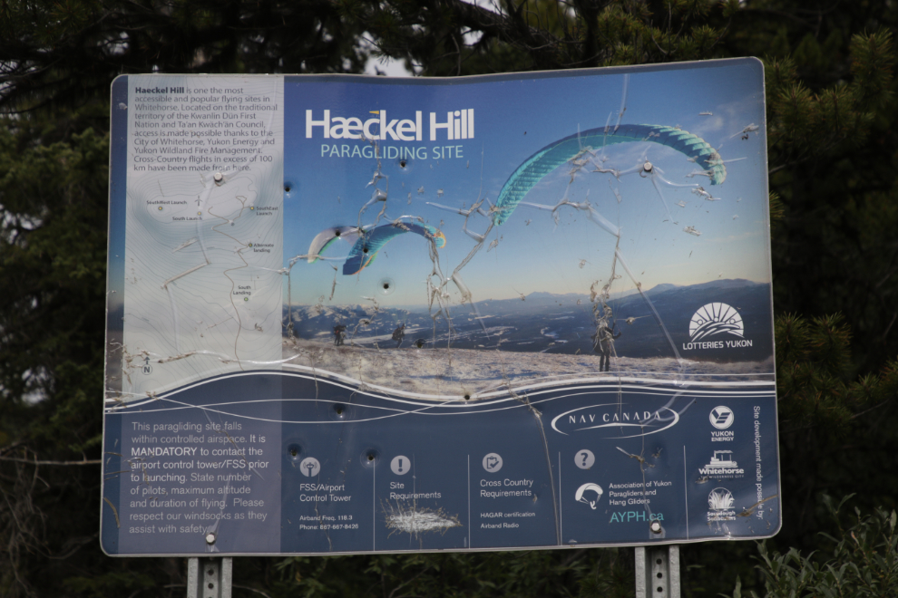
Ten minutes further up, a sign describes the Haeckel Hill paragliding site, “one of the most accessible and popular flying sites in Whitehorse.” It says that cross-country flights in excess of 100 km have been made from here. You can see it in the distance in the next photo below, then a close-up.
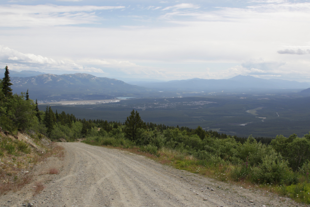
Getting near the top, 20 minutes from the Trans-Canada Trail junction, the views over about 180 degrees are wonderful.
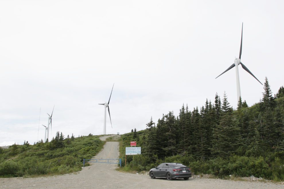
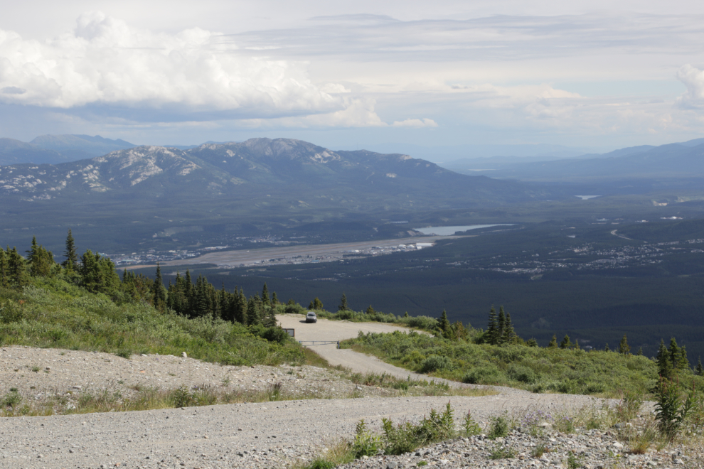
There is plenty of parking at the top. From there you can walk up this road to the wind turbines…
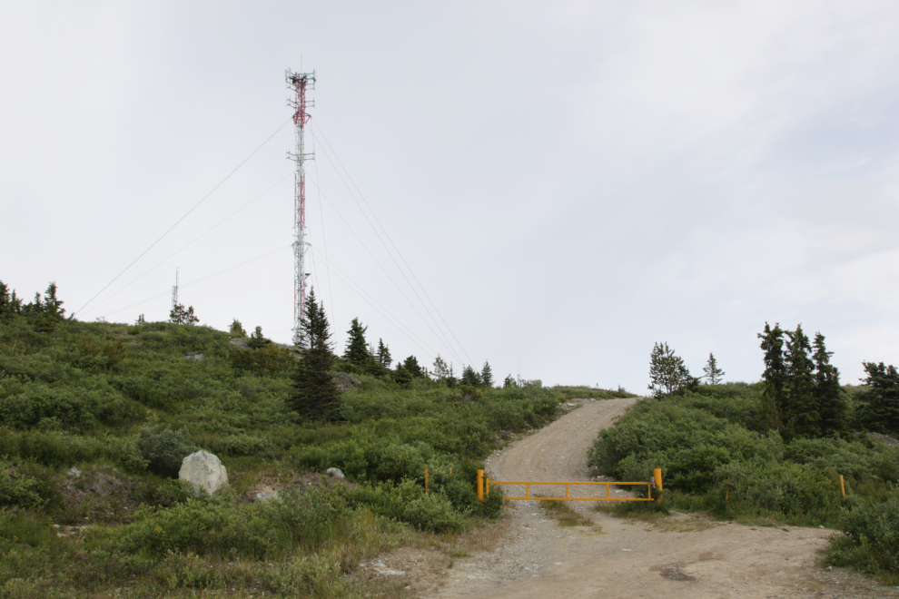
…or this one to the forestry lookout tower. This was the road we started up – “we” being Tucker and me.
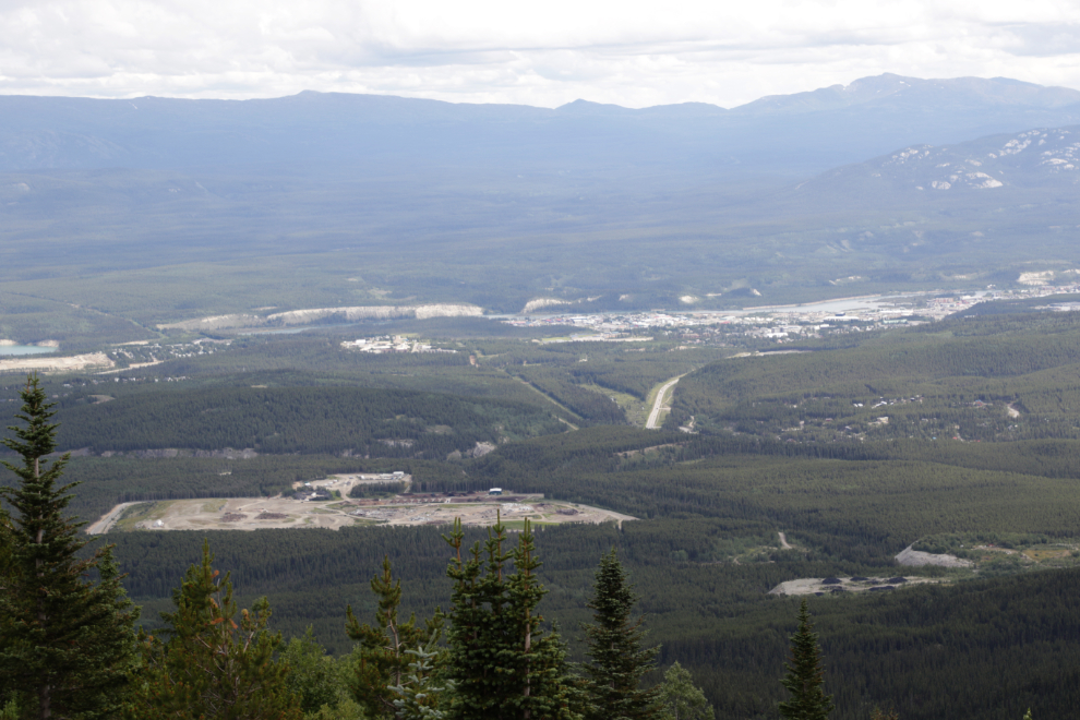
Looking down on the city landfill and beyond.
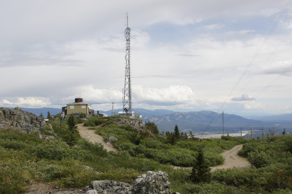
The forestry lookout tower used to be all by itself up here, but there’s a whole lot of communications infrastructure around it now.
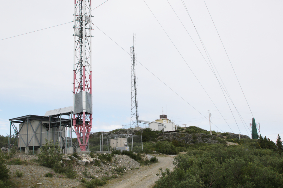
The first lookout tower was built here in 1954; this building dates to 1961. I’m building a page about the tower here.
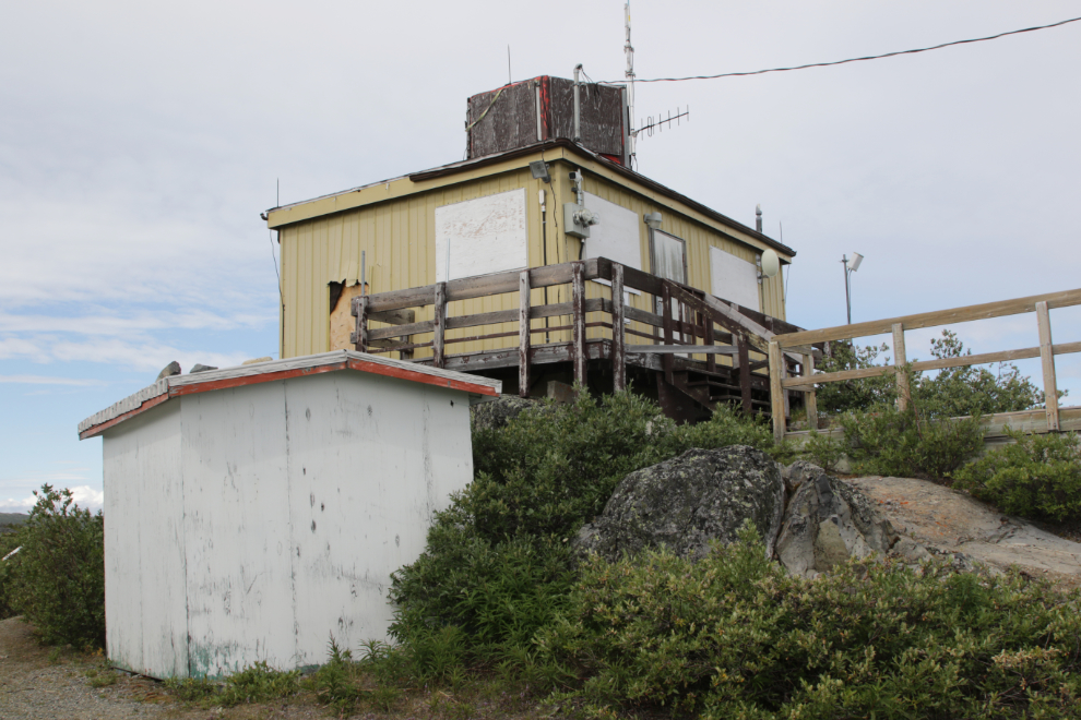
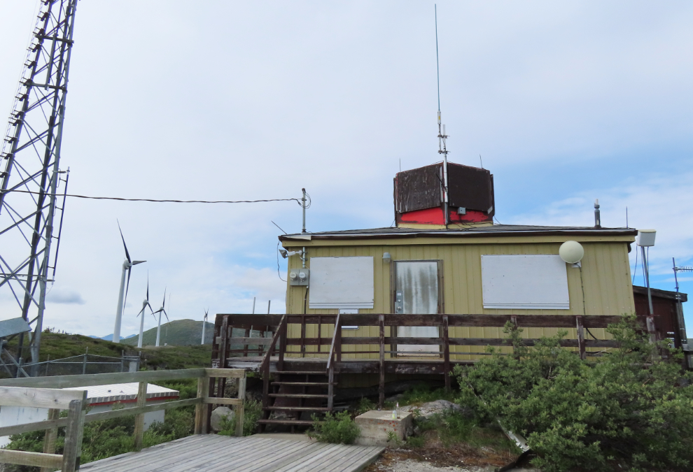
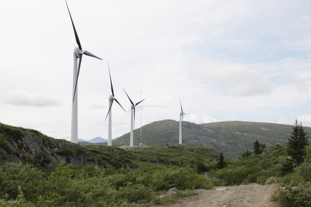
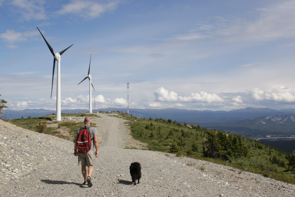
From the lookout tower, a road and then a faint trail leads to the wind turbines.
Looking back at the lookout tower.
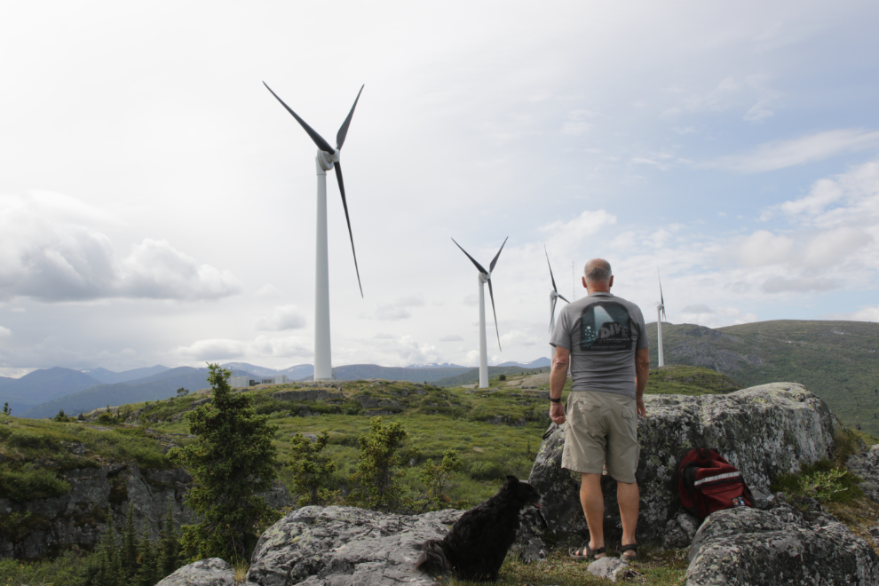
Tucker and I climbed a little knoll that offered a great view of the turbines. Tucker is to my left – he blends in well with the rocks 🙂
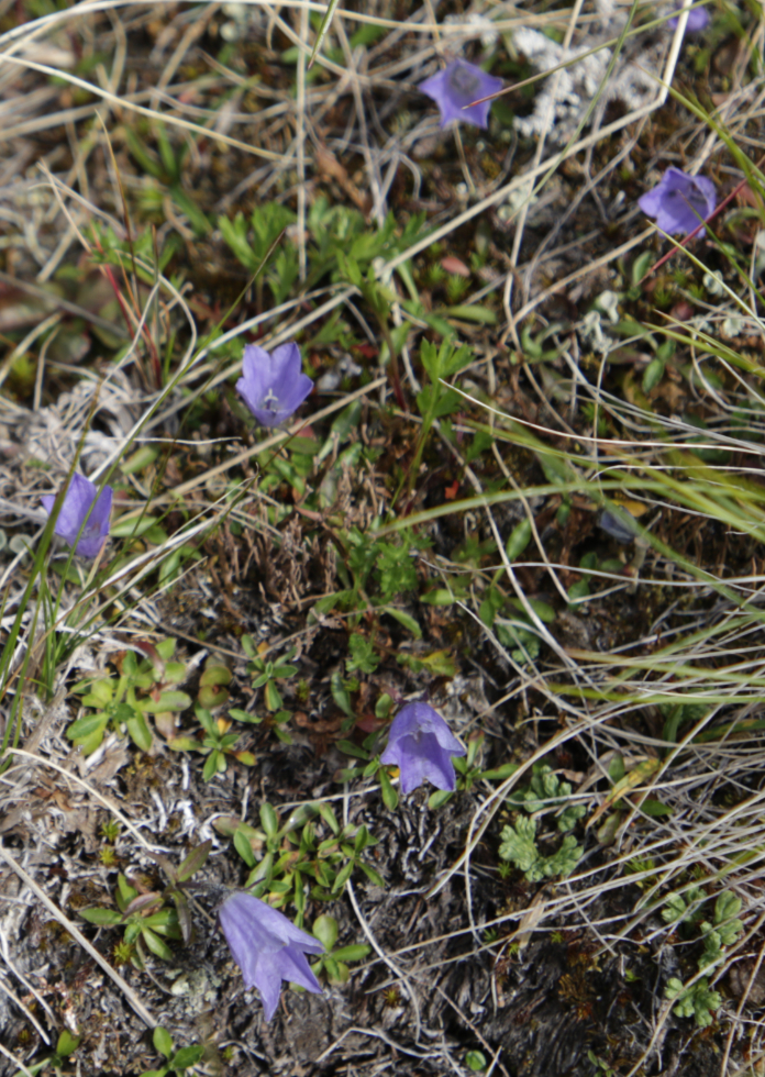
We came to area in the gully between the lookout tower and the turbines that I think had more Mountain harebell (Campanula lasiocarpa) than I’ve ever seen in one spot before.
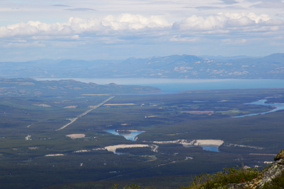
The weather cleared as we walked to the turbines, and the view to the north, to Lake Laberge, is very good from the ridge where they’re installed.
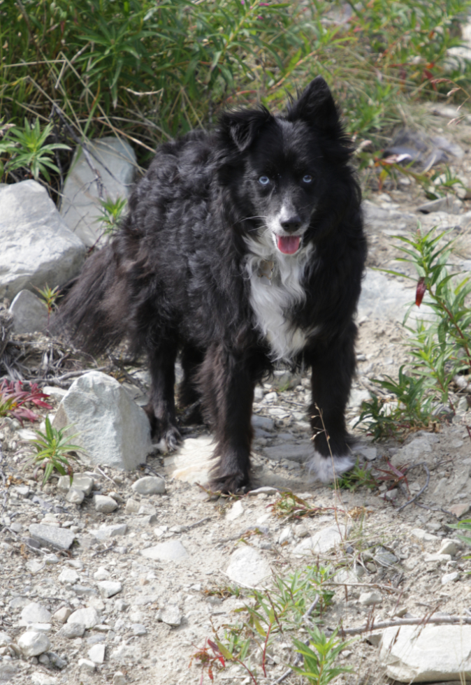
Tucker was really enjoying this outing. I don’t often take him anymore, as he turns 11 next week, and about 4 km is his preferred limit for walking, though he has done 7 km for me.
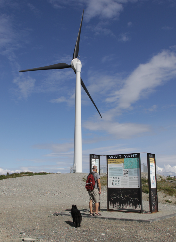
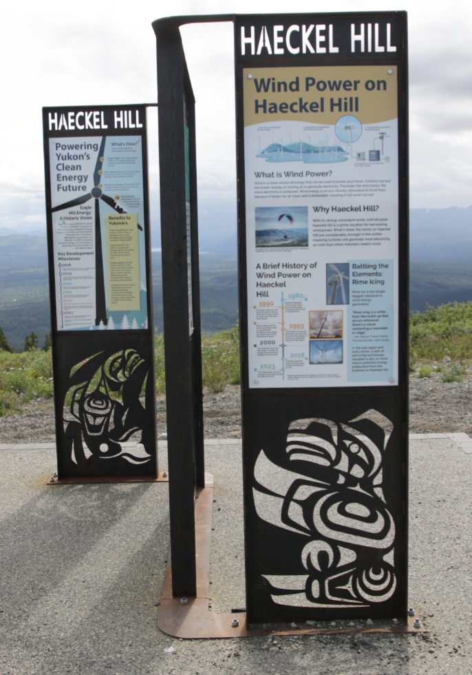
We started at the interpretive signs, which are both very attractive and well written, with information about wind energy and First Nations culture.
From the 4th turbine, I spotted a trail leading up the far side of the valley below.
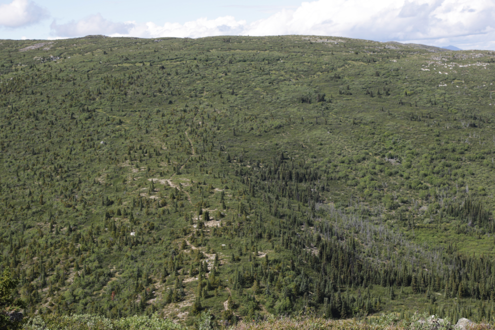
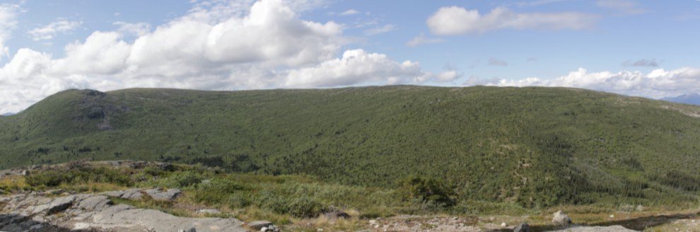
That trail leads to a ridge that has Mount Sumanik at the south end. It looks like an awesome ridge walk and should be fairly easy to access, yet nobody talks about it. Maybe I can check it out before this season ends. This is a 3-photo stitched panorama.
What a great day – it felt so good to spend a day that made Tucker this happy 🙂
Looking down the road to the Jeep.
About The Author
