Exploring Aklavik, Northwest Territories
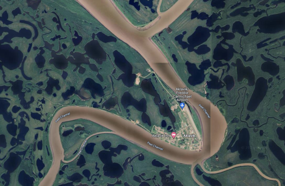
First, a map to get you oriented. Aklavik is located on a channel of the Peel River, towards the west side of the central part of the vast Mackenzie River Delta. An interactive version of the map can be found here.
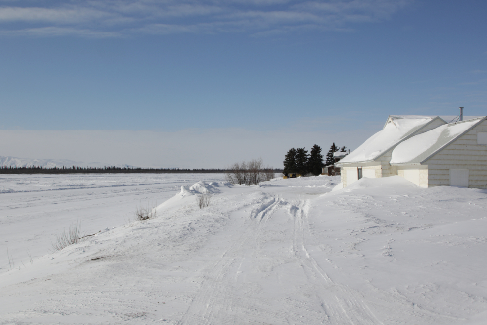
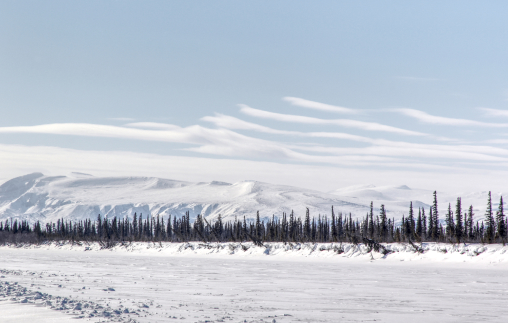
Having driven the ice road from Inuvik, my friend Tyson and I reached Aklavik at 1:45 on April 9th. The temperature was -16°C / +3°F. The first photo shows my first look at the community, from the frozen Peel Channel.
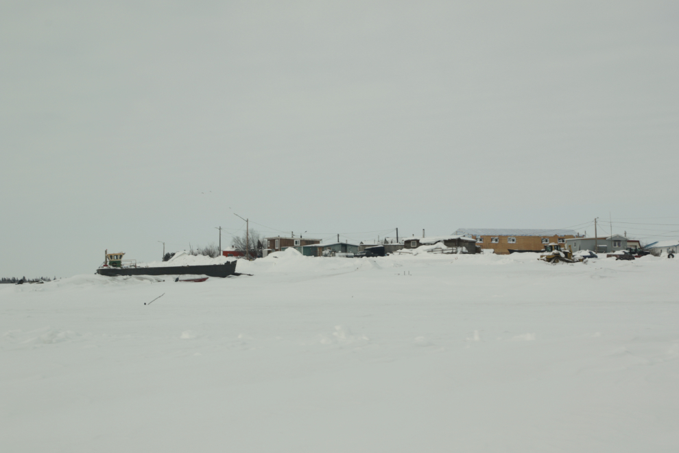
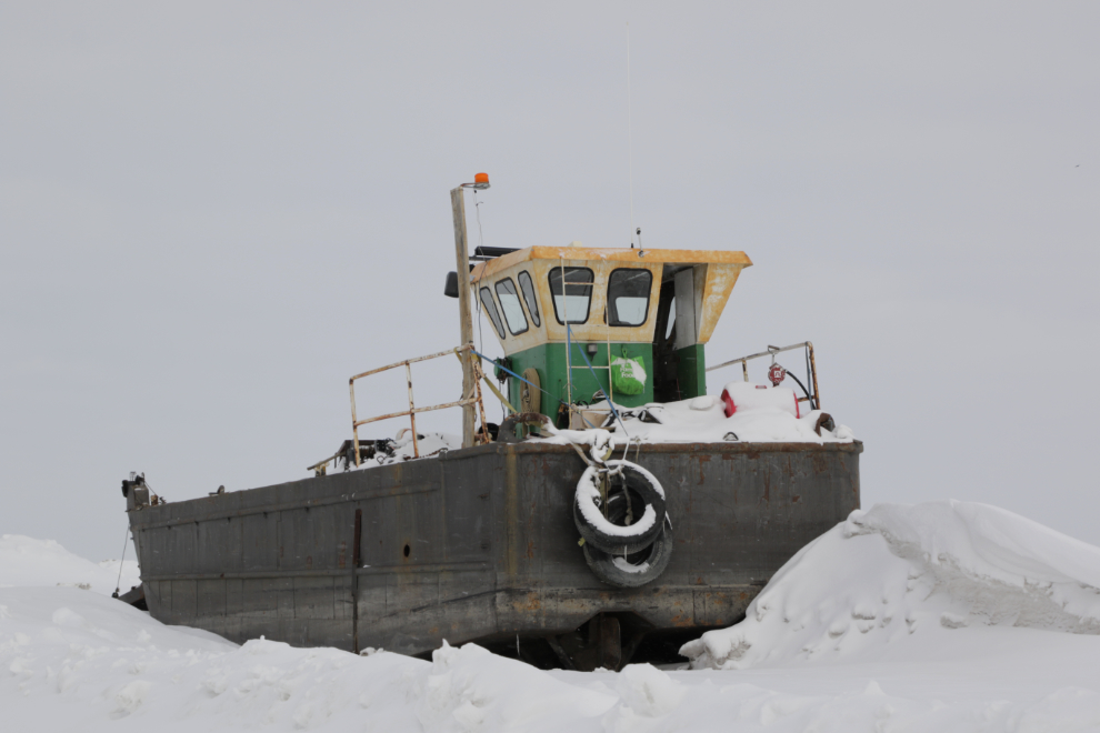
A river freight boat high on the bank awaiting open water.
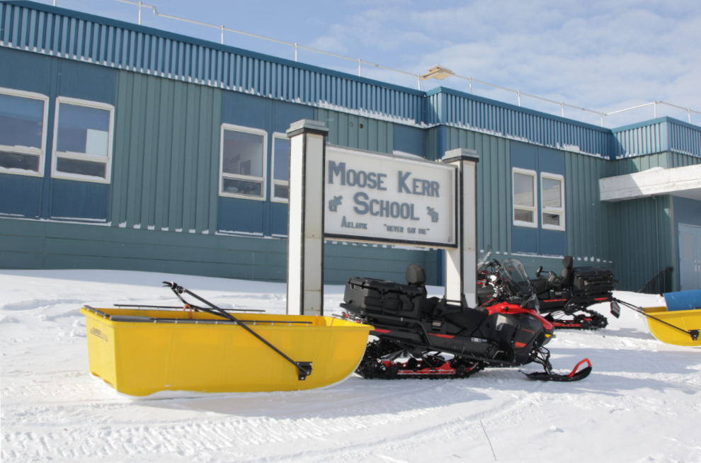
The Moose Kerr School is along Hansen Road across from the airport runway. Its motto, as is the Hamlet of Aklavik’s is “Never Say Die.” Inuvik was built to completely replace Aklavik, which the government wanted to disappear because it was difficult to service and prone to flooding. The population in 2021 was 536, down almost 10% from 2016 when it was 590. The school was built in 1969 under the guidance and support of Arnold J. (Moose) Kerr, a teacher and administrator in Aklavik between 1952 and 1961.
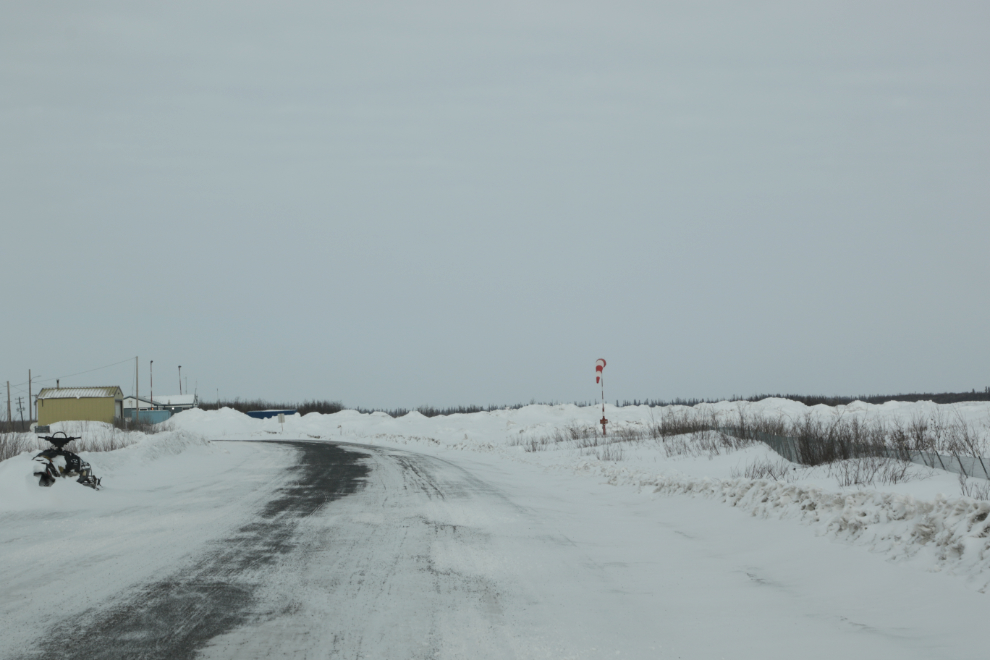
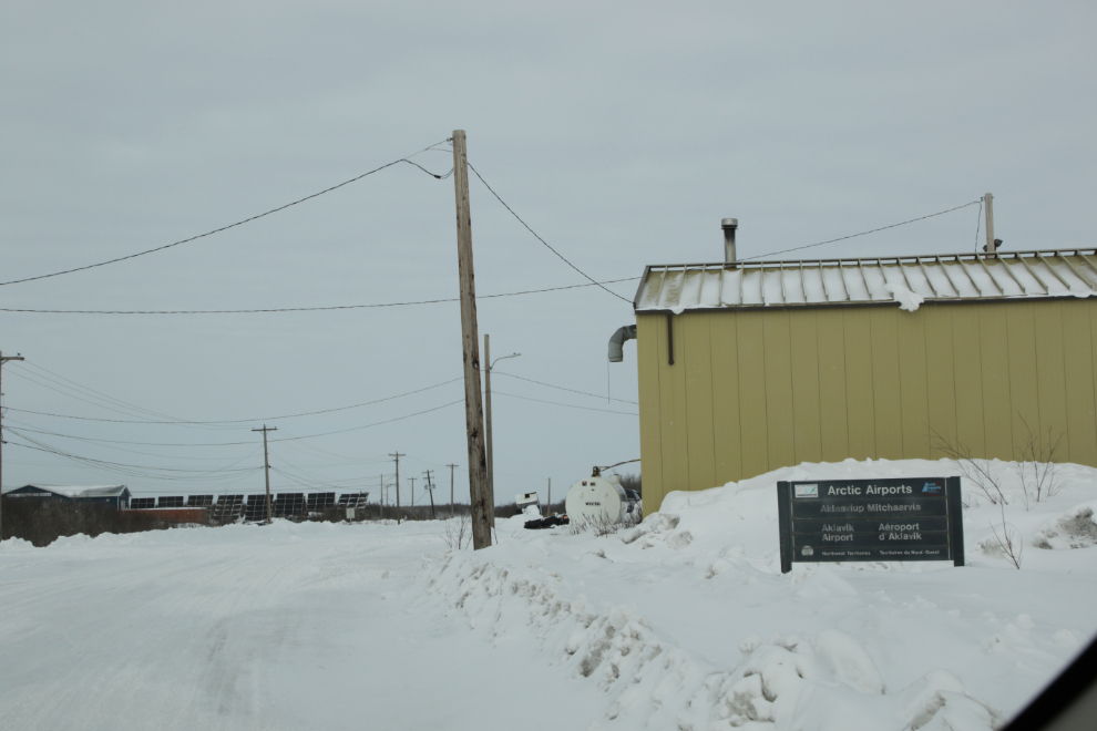
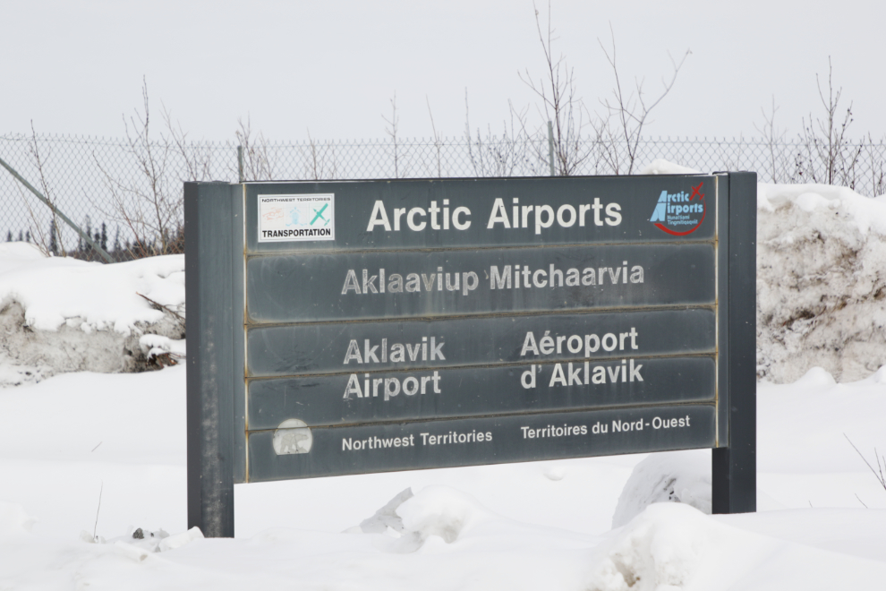
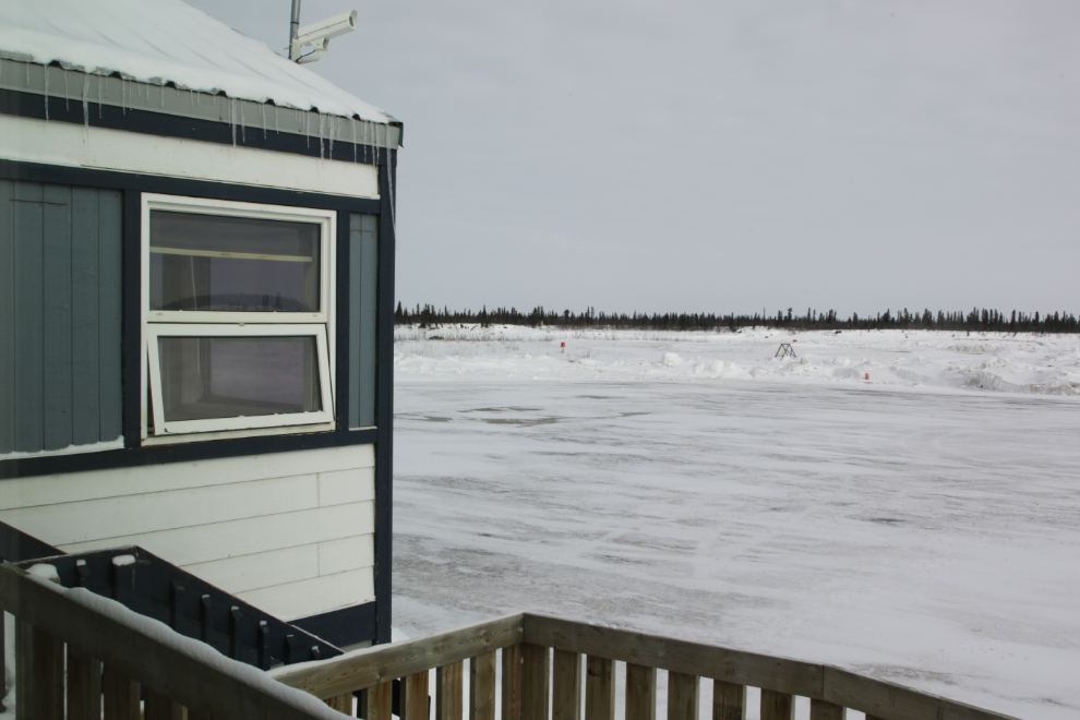
Our first destination was Aklavik Freddie Carmichael Airport (CYKD). With no road except when the rivers freeze, the airport is crucially important to the community. North-Wright Air has scheduled service, but the round trip from/to Inuvik, consisting of two 20-minute flights in a 19-passenger Beechcraft 1900D, costs $413 at the moment.
The airport was named in honour of Frederick “Freddie Carmichael.” Born in Aklavik, he received his private pilot’s licence in 1955 and in 1958 became the first Aboriginal person in North America to earn a commercial pilot’s licence. In 1959 he started Reindeer Air Service, and served the Mackenzie Delta for almost 50 years. Fred is a Member of the Order of Canada and Canada’s Aviation Hall of Fame, and holds an Honorary Doctor of Laws from the University of Saskatchewan. Now living in Inuvik, Fred still flies his Cessna 170, and last year published his first book, a children’s volume titled “Freddie the Flyer.”
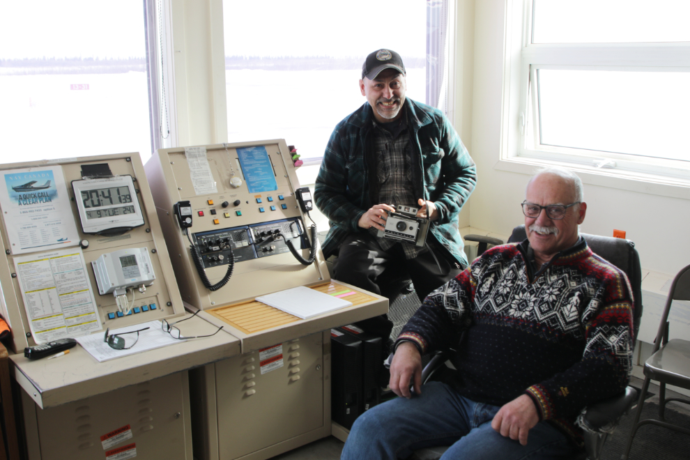
The main desk at the airport weather and radio office.
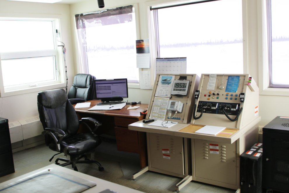
There we met Otto Malegana and had a very enjoyable chat – what a character! Otto has been in charge of the airport weather and radio since he was about 3 years old, I think 🙂
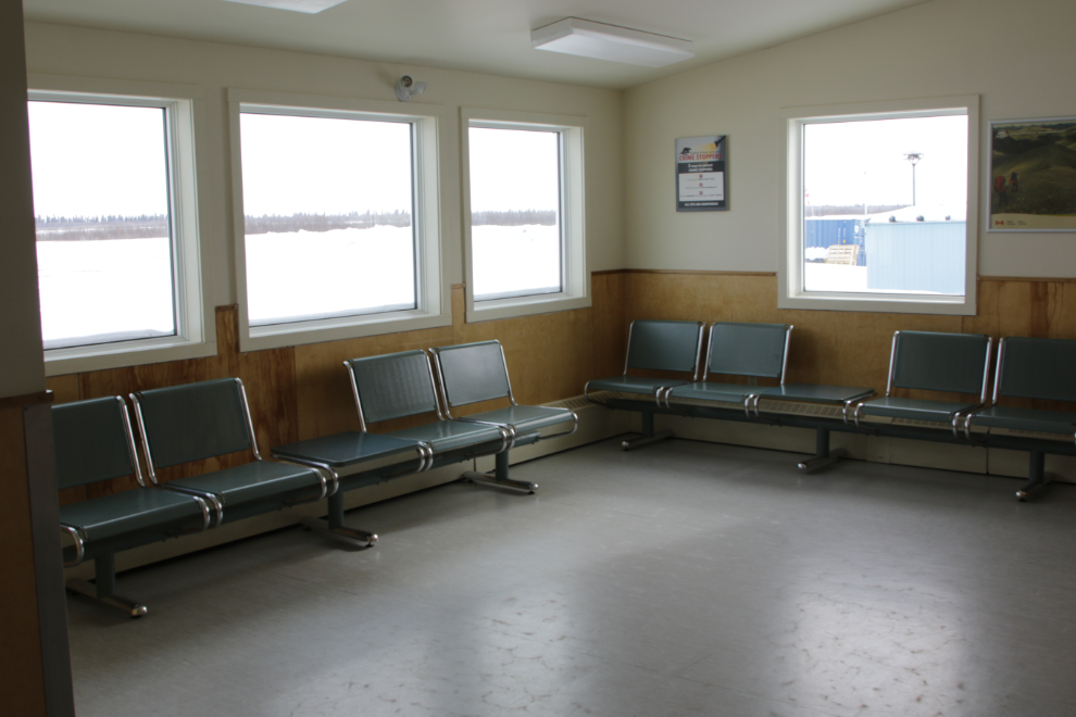
The airport waiting area.
By 2:20 the skies were starting to brighten up and we continued on our wander around town.
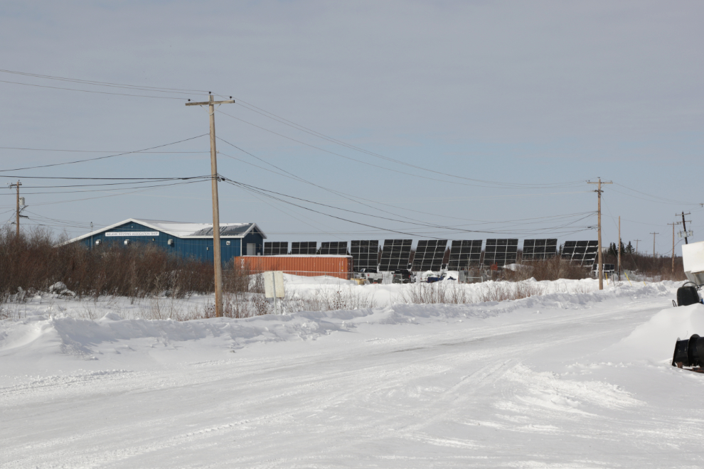
Just north of the airport is a solar power generation system.
Here’s a much brighter look at Moose Kerr School.
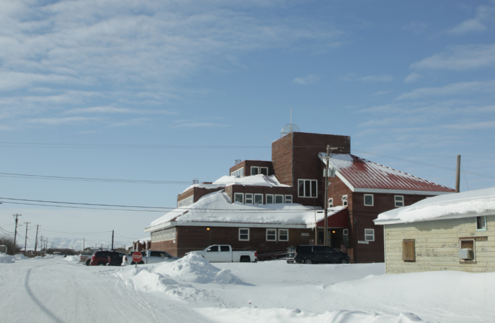
This large building houses the Hamlet and various other government offices.
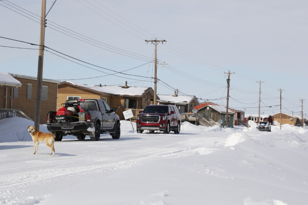
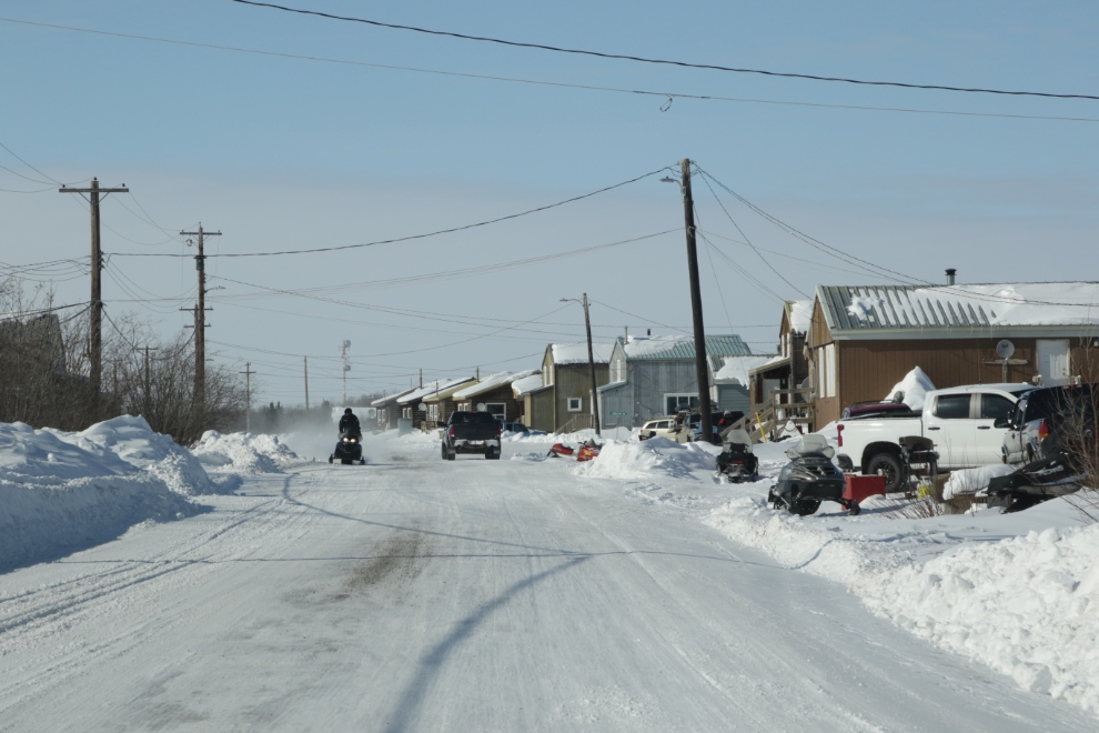
A residential street.
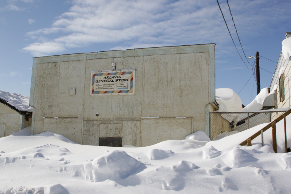
The Aklavik General Store appeared to not be open 🙂
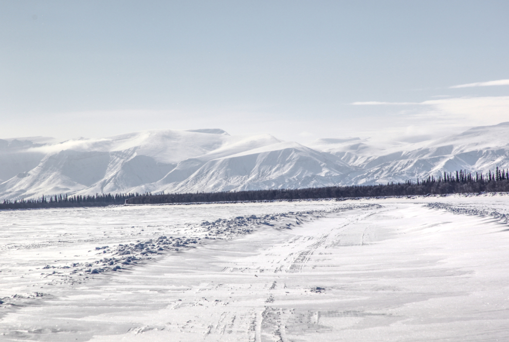
The view to the south across Peel Channel. Tyson wanted to show me the distant mountains and the weather had certainly changed to make that a worthwhile quest, so we decided to drive up the ice road to Fort McPherson a few miles.
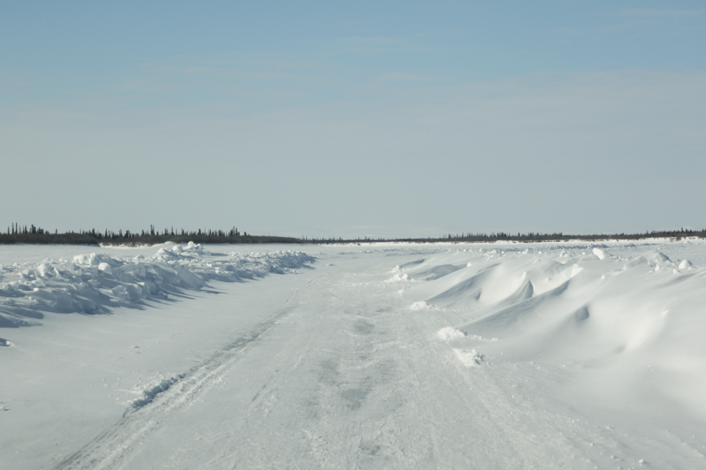
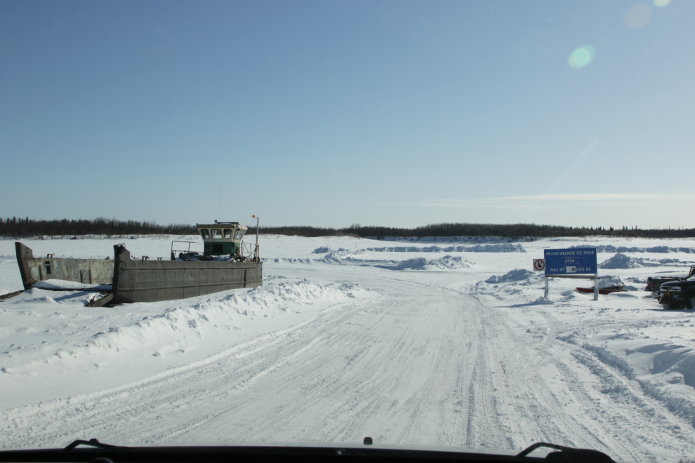
The start of the Aklavik-Fort McPherson ice road.
It looked like a group of people were out cutting firewood, but then we decided they were doing some sort of environmental assessment work.
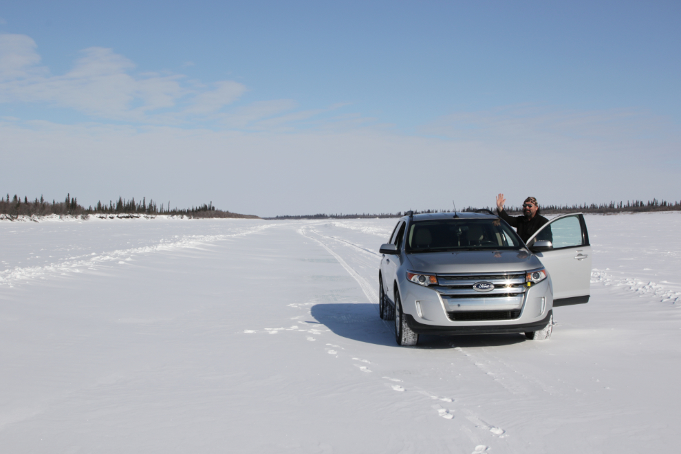
My guide, at 3:15 🙂
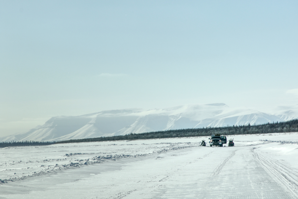
Ten minutes later, we decided we had a great view of the mountains and would turn back to give us more exploring time. The focus of this photo was actually those wonderful clouds – mountain waves, I think.
Although I think they have a different name, these are basically an arm of the Richardson Mountains sticking out to the east from the main range. This photo makes me want to go back – like today.
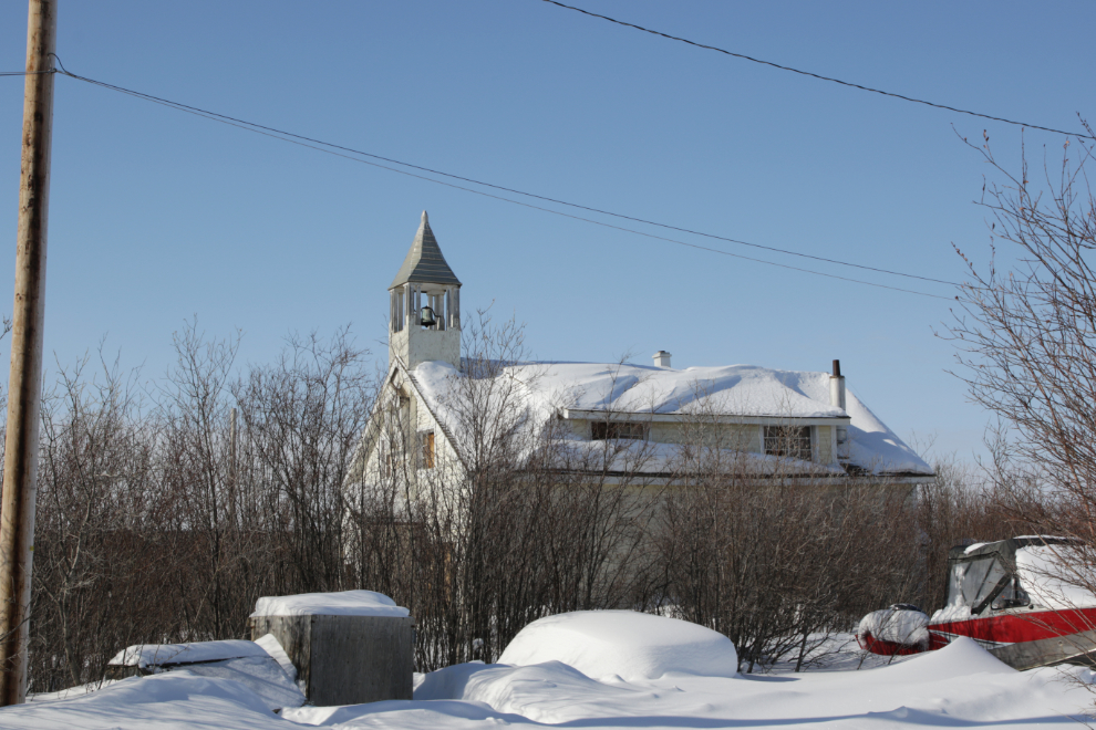
Back in Aklavik just before 4:00, we started at the Catholic Church of the Immaculate Conception. There must be a better access and view, but we didn’t try to find it.
Another residential street. This has been a very heavy snow season, about 160% of normal.
One of the cemeteries.
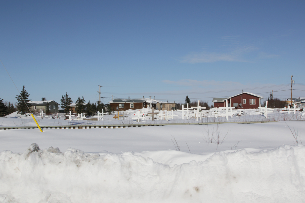
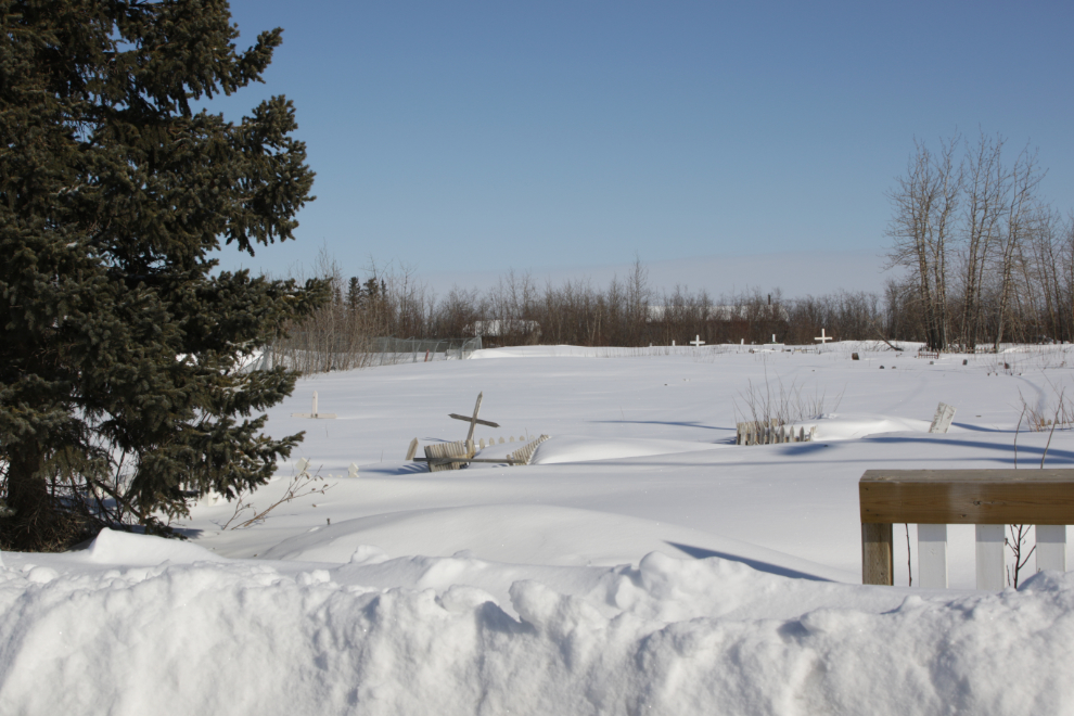
Another cemetery.
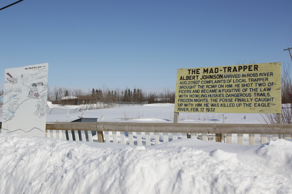
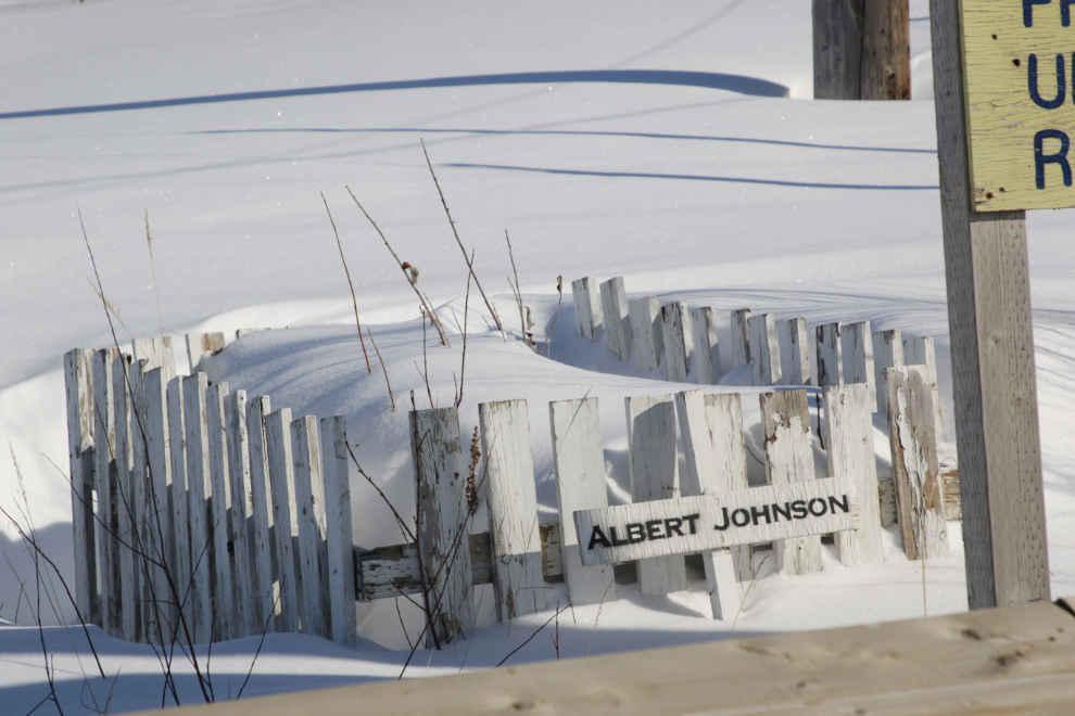
The cemetery shown above also contains the grave of Albert Johnson, “The Mad Trapper of Rat River.” I was disappointed that the Mounted Police officer he killed, Constable Edgar Millen, isn’t mentioned in the signage (another officer was wounded). Constable Millen was buried in the family plot in Beechmount Cemetery, Edmonton.
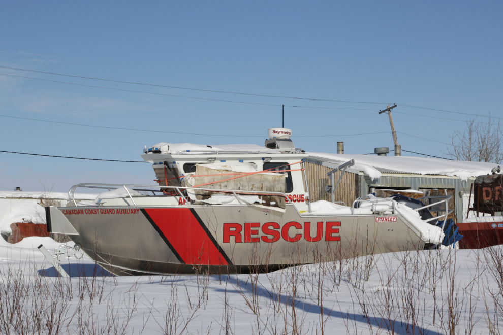
The Coast Guard Auxiliary has a very nice rescue boat.
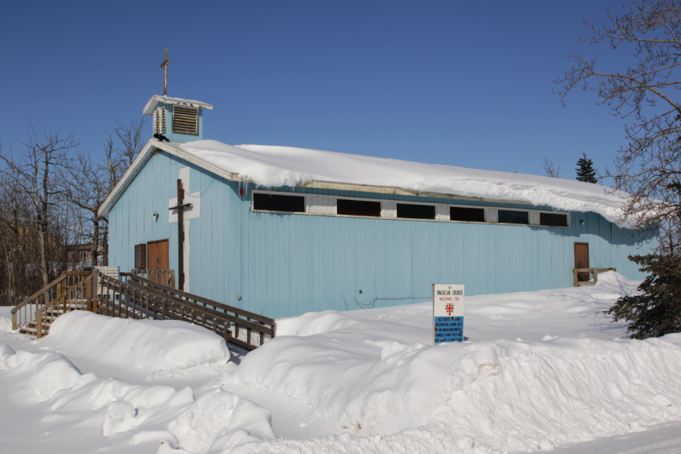
The Anglican church – both Anglicans and Catholics had residential schools in Aklavik.
At 4:40 we were above to drive back down onto the river to return to Inuvik. I covered that drive on my post about the drive to Aklavik.
We would drive the Dempster Highway to Dawson City the next day, and that’s the subject of the next post.
A very good post, a summer could be had going up and down all those side channels (if one could remember the starting place or GPS) With all that cold weather, could that building to the R side of the govt building have a window AC built in? Certainly a sunny day could need one, and AC in the car manhy times I would guess during the long summer days. Nice ‘catch’ on the old general store too.
I would have loved to see those mountains in person. It’s sure interesting to hear and see some of the history of a place like that.
As usual I have a question. 🙂 What are the things behind the snowmobiles at the school? They look like miniature boats. 🙂
Those are cargo sleds (“skimmers”).