Fort Simpson to Sambaa Deh Falls Park, NWT, by motorcycle
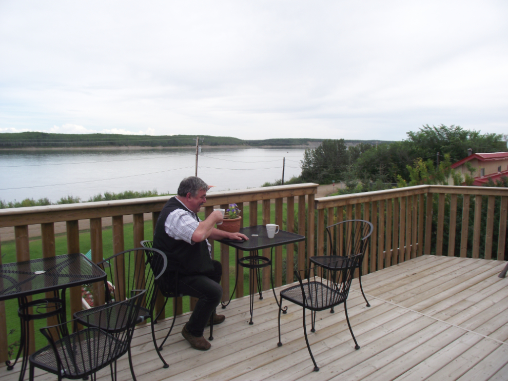
When I posted yesterday, I had just found a room at the Nahanni Inn in Fort Simpson. Here we are now this morning, on the banks of the Mackenzie River. I thought I was going to be flying to Nahanni Park and Virginia Falls with Simpson Air, but there was no plane going and the pilot I talked to didn’t know how the error was made, but they could take me tomorrow.
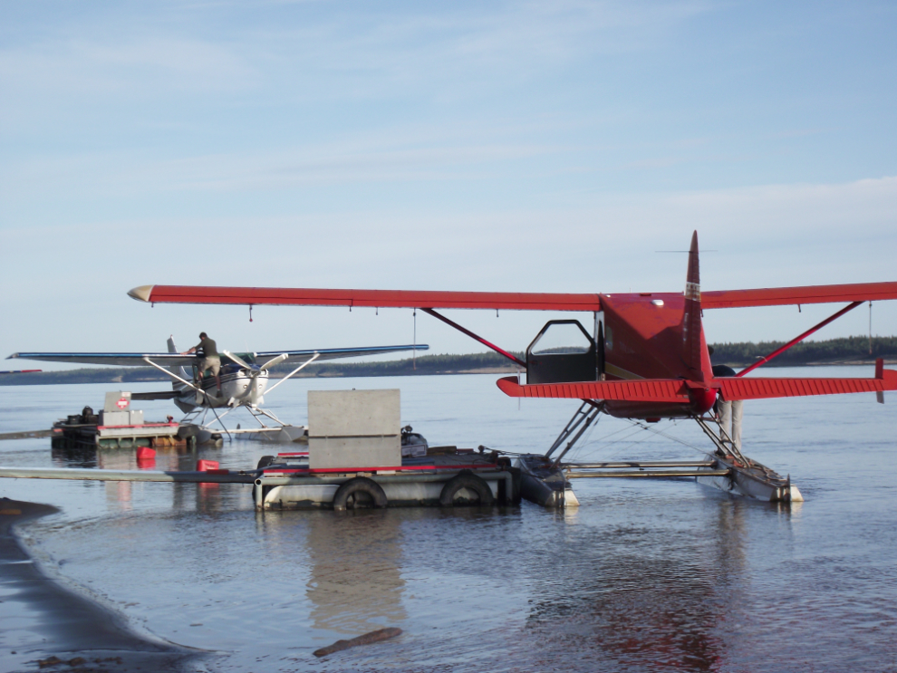
I decided, though, that I was getting a message that it was time to move on. I did want to see more of Fort Simpson, though, so went to the Visitor Centre and spent $5 on a tour booklet produced by the Fort Simpson Historical Society. The plan was to spend a couple of hours and then drive about 150km to Sambaa Deh Park and camp there.
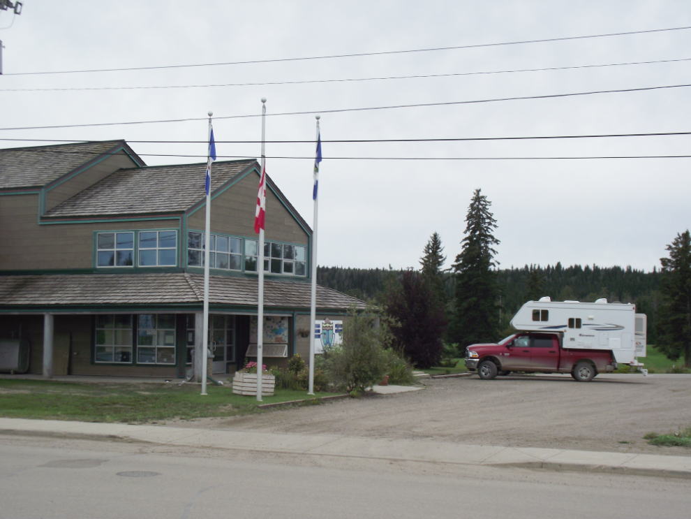
I always try to see the oldest cemeteries in the communities I visit. Here, there are 2 – this is the Catholic cemetery. A fellow had just arrived with a weed-whacker to do some clean-up. I’m very surprised by how lush this country is!
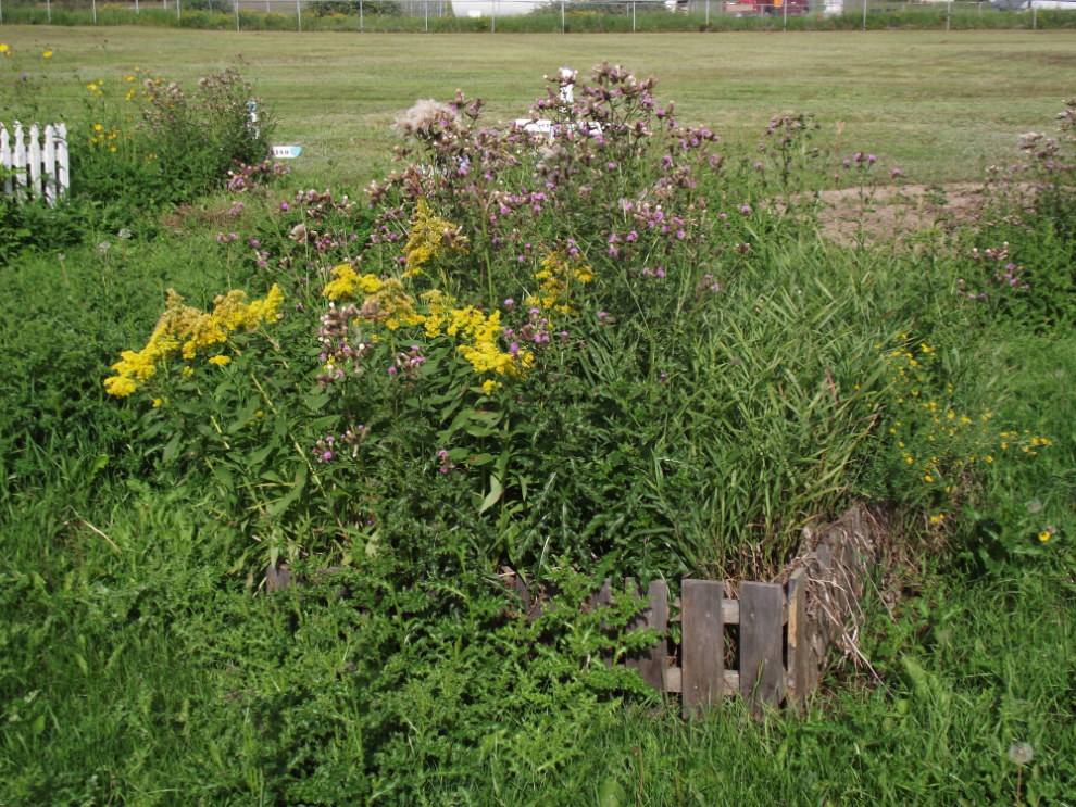
The residential school had been bulldozed within the past couple of years – across the empty lot, the Catholic church can been seen.
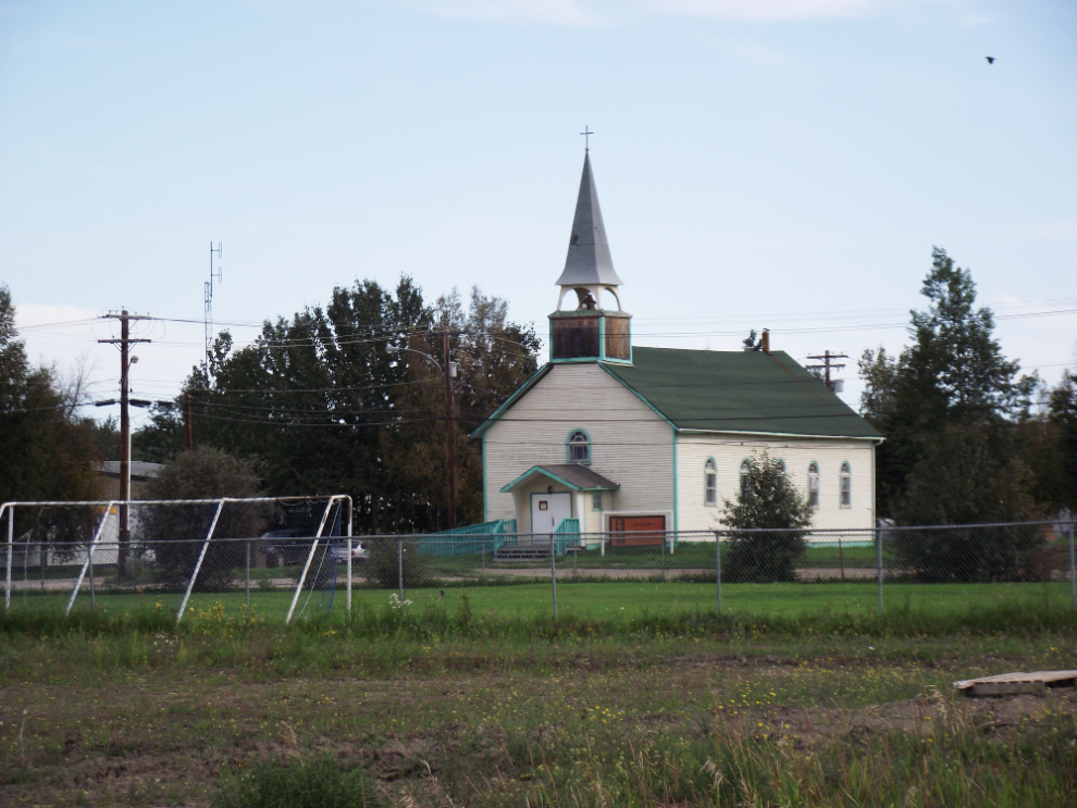
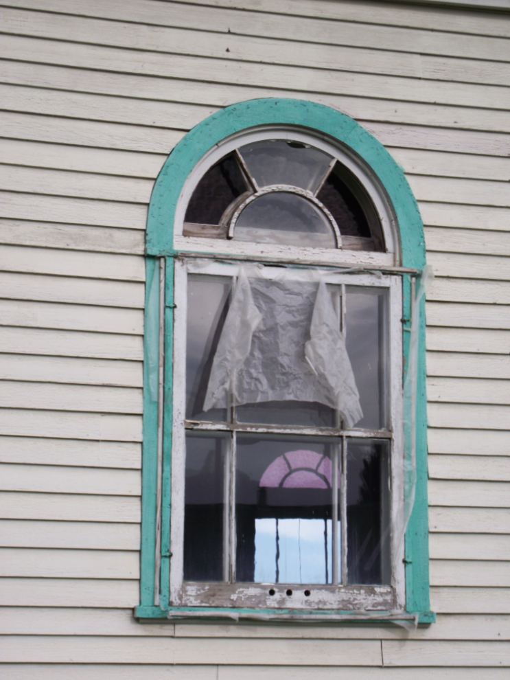
The Catholic church is in very poor condition, in stark contrast to the freshly-restored Anglican church a block away.
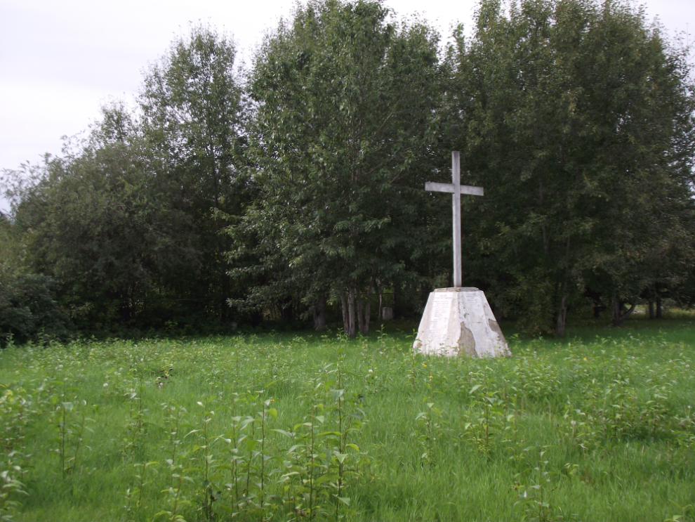
The Anglican cemetery was rather a shock – I don’t recall ever seeing what appears to be an empty lot, with a monument stating that 398 people were buried here between 1916 and 1957. The names of many of the 248 adults (which is stated to be older than 10 years old) are on the monument, but the children are not.
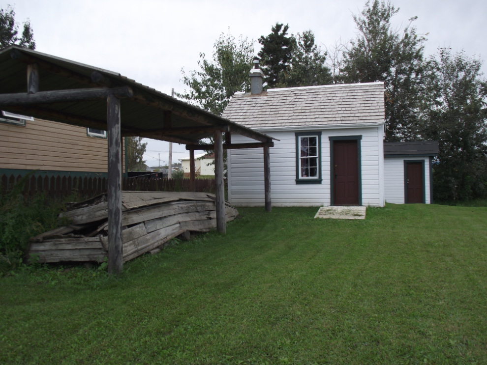
This cabin belonged to Albert Faille, an early pioneer, explorer, trapper and prospector.
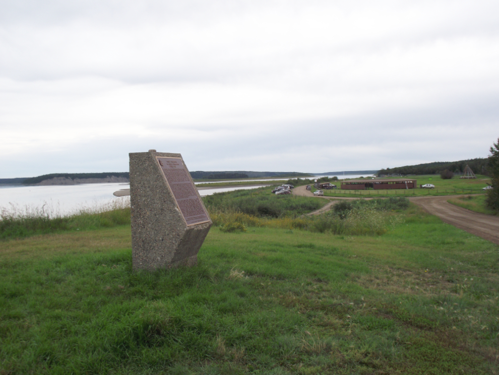
This monument sits at the junction of the Liard and Mackenzie Rivers, and overlooks the site of Pope John Paul’s visit in 1987, now called the Papal Grounds.
Having finished my tour just after 12:30, I went for lunch at the Arctic Kitchen, one of 2 cafes in town. There I met the mayor, Sean Whelly, and the owner of the B&B that I had hoped to stay at. Reg invited me back for a look at his place, the Mackenzie Rest. It’s even nicer than it looks on the Web site, and I’ll definitely be making reservations ahead next time
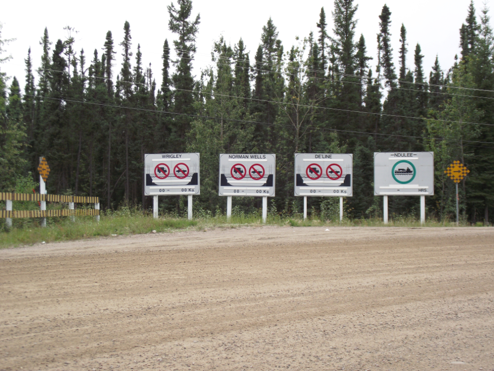
Most people who watch the TV series Ice Road Truckers probably don’t realize that there are many ice roads, and that driving them is just part of normal life in some parts of the North. The 3 signs on the left in this photo describe the current status (“Closed”, of course) of the ice roads to Wrigley, Norman Wells and Deline. The one on the right shows that the ferry to Ndulee is operating.
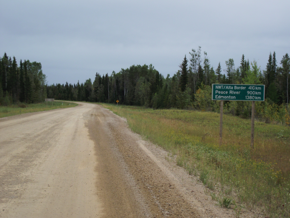
This gravel road is NWT Highway 1, the Mackenzie Highway – the sign notes that Edmonton is 1,380 km ahead!
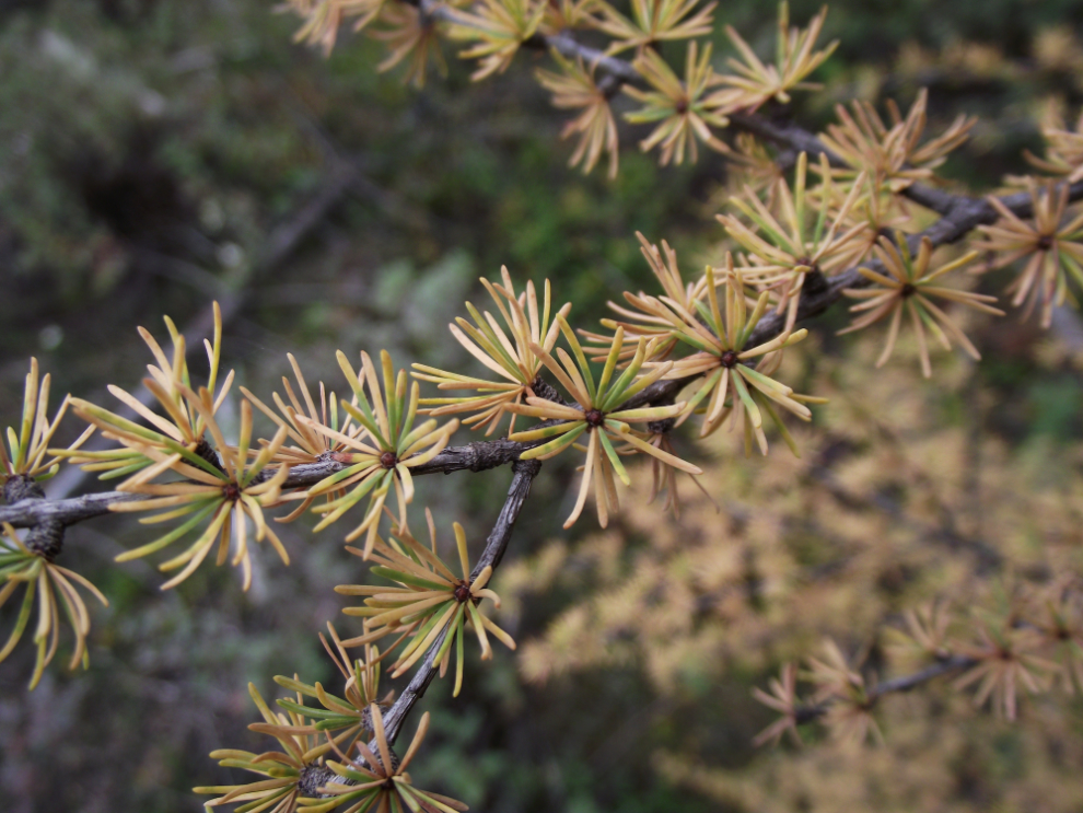
Along the Mackenzie Highway, the first tamarack trees appeared. These are a particularly attractive conifer whose needles turn colour and fall in the same way that the leaves of deciduous trees do.
I reached Sambaa Deh Falls Park at 5:00pm and got my tent set up. It had been a very muddy ride. There were a few drops of rain, but a lot of work was being done on the road, and watering it down is part of that.
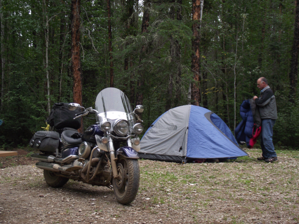
The campground at Sambaa Deh is extremely nice, with large, well-spaced sites, the best of facilities, and it’s spotlessly clean. There is, however, no interpretation of any kind. I picked my tent site because it was the closest one to a marked walking trail, but I had little idea of what it led to. It led to a waterfall that I later read in a publication is called Coral Falls.
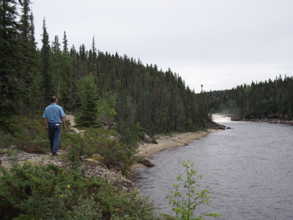
Coral Falls from the high trail. There’s also a trail along the riverbank but the water is too high right now to get to the base of the falls on that route.
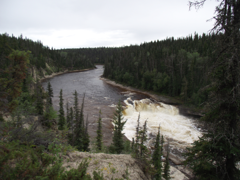
The main waterfall, I discovered, is across the highway, and I lucked into picking the best trail, which is on the far side of the highway bridge.
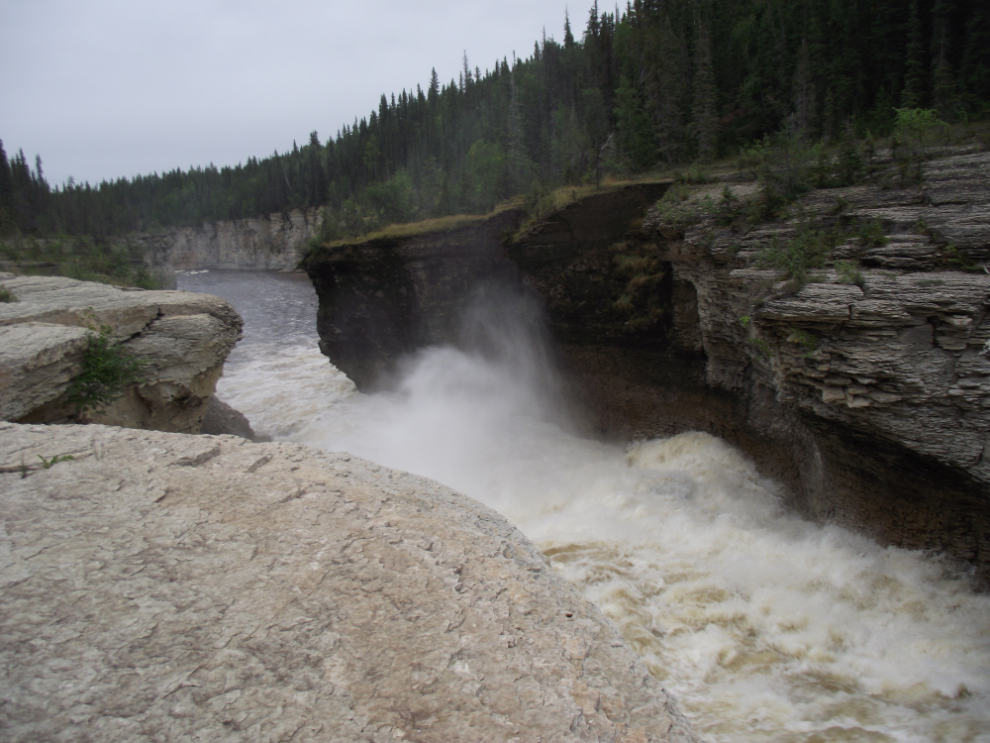
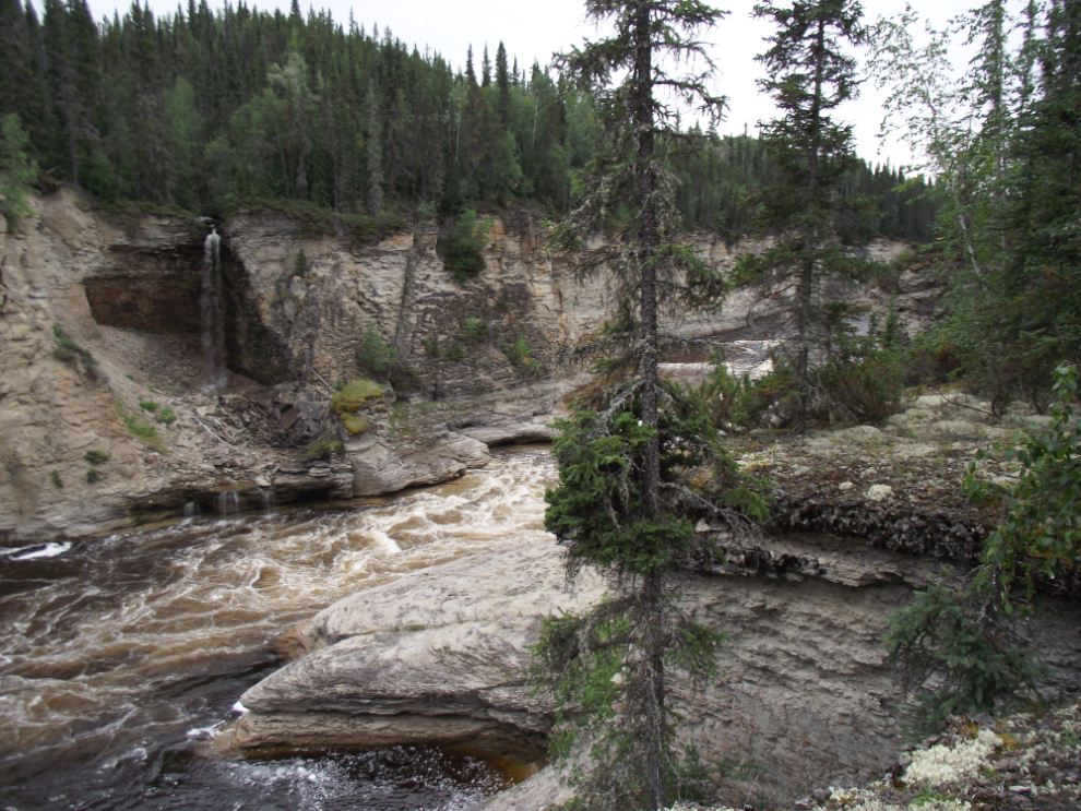
The Trout River has carved an extremely impressive canyon that gets better and better as you go downstream.
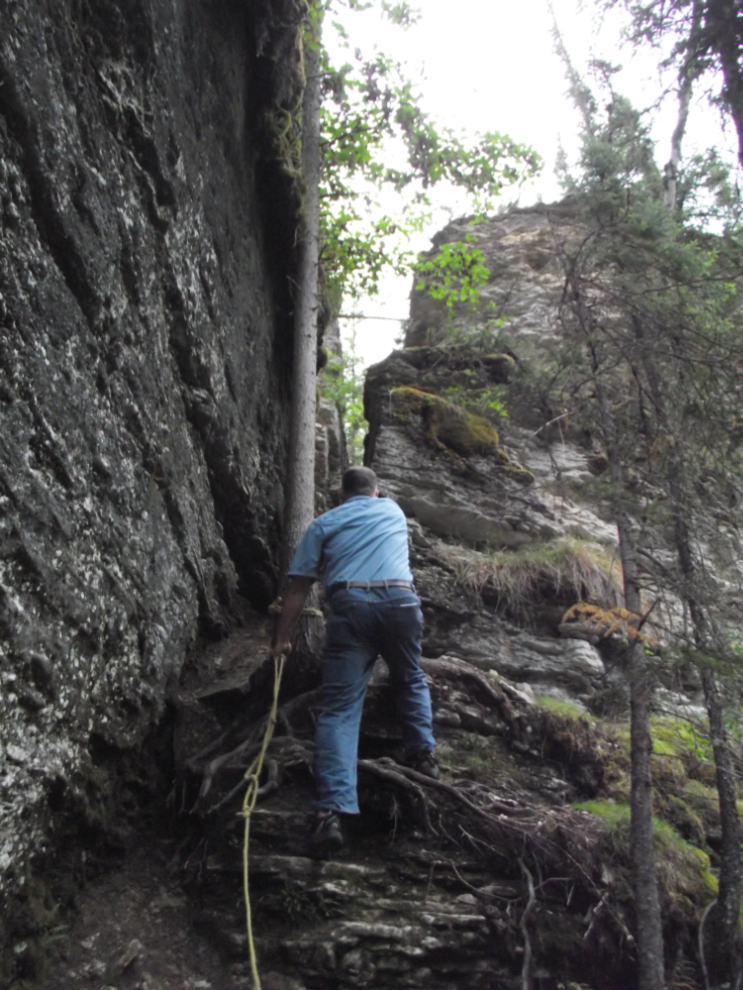
About a kilometer down the trail, there is a steep route through a fissure in the rocks down to the bottom of the canyon. Several ropes have been placed to help with the climb. I, of course, went for a look, and it was well worth the effort – this is the climb back out.
There had been very light rain off and on since I got to the park. I went to bed at about 9:30, and a few minutes later heavy rain began. It continued for much of the night but I was cozy.
This trip from Whitehorse to Yellowknife and back is covered in 9 blog posts with a total of 221 photos:
- Whitehorse to Fort Nelson (10 photos)
- Fort Nelson to Fort Simpson (27 photos)
- Fort Simpson to Sambaa Deh Falls Park (18 photos)
- Sambaa Deh Falls Park to Yellowknife (21 photos)
- Exploring Yellowknife (24 photos)
- Exploring the Ingraham Trail at Yellowknife (22 photos)
- From Yellowknife to Hay River (30 photos)
- Hay River to Manning, Alberta (29 photos)
- Manning to Whitehorse (40 photos)
