Exploring Farwell Canyon and the historic Pothole Ranch
This was my third annual visit to Farwell Canyon with the RV, after a high school friend bringing me here in 2015. The more I see of the area, the more captivated I am by it. The stark, spectacular beauty of Farwell Canyon, and the history of the Pothole Ranch, in a location that few people visit, make this one of the finest RV boondocking sites I’ve ever been to (boondocking is camping without any services or amenities).
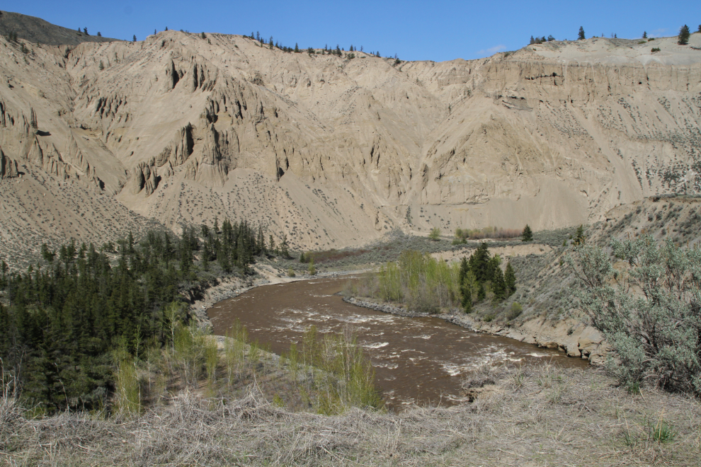
This ws the view of the Chilcotin River and a bit of Farwell Canyon from the cliff edge 100 feet from the motorhome, shortly after getting set up mid-afternoon on Day 4 of the trip (Sunday, April 29th).
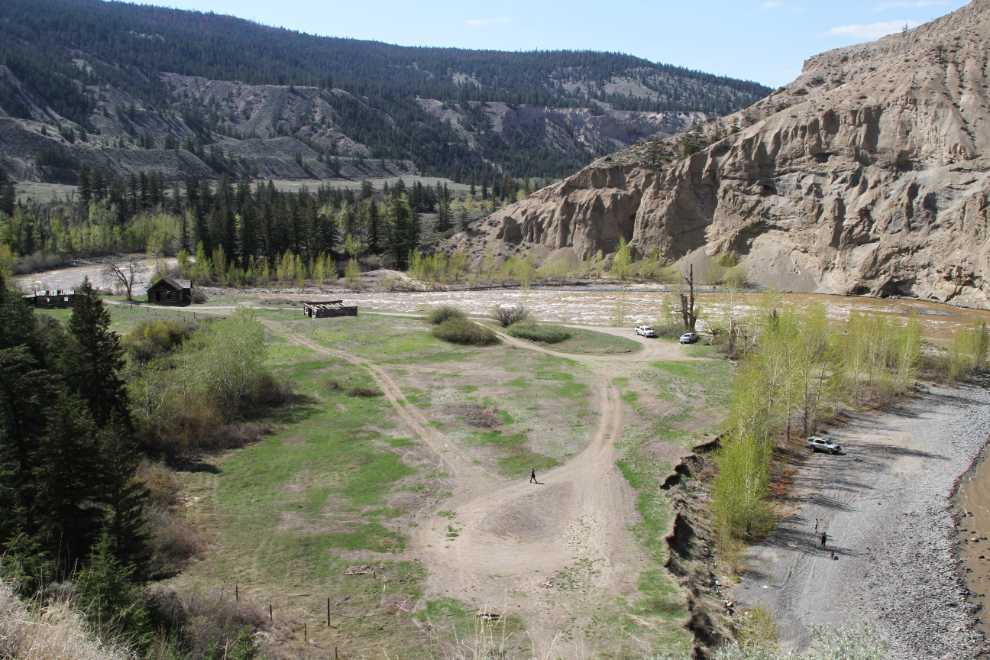
Looking to the left from the same spot, the Pothole Ranch. Being a beautiful Spring Sunday, it was a busy day, with 4 vehicles.
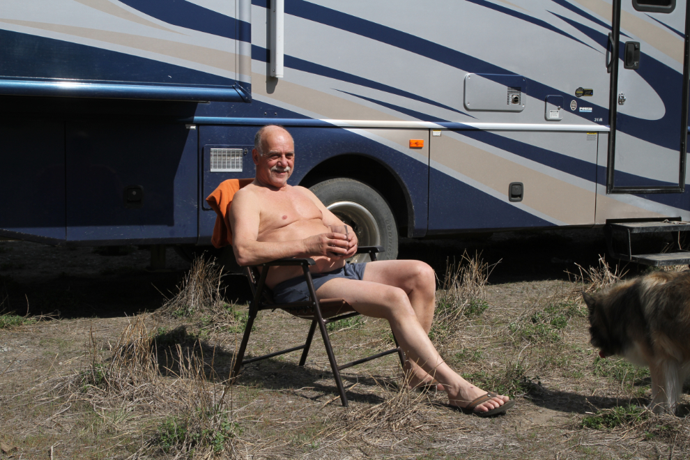
We had covered a lot of miles in the past 3 1/2 days, and now, having reached warm sunshine and seclusion, it was time to relax. There isn’t even cell service at Farwell Canyon, so I just made a post to Facebook from my inReach: “satellite comm only for 3 days”, and went black 🙂
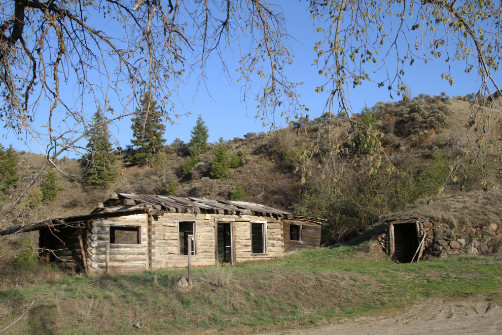
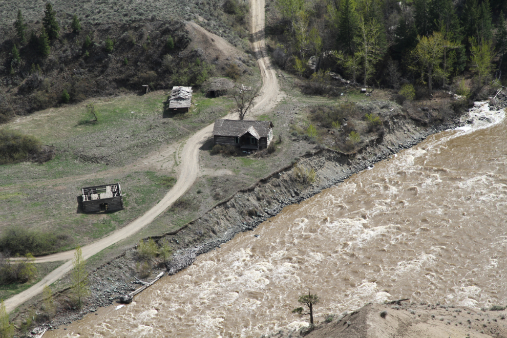
The Pothole Ranch is my regular dog-walking destination. That evening at about 7:00 pm, we went for our first look of this trip. The long-abandoned homestead of Gordon “Mike” Farwell is a big part of the magic of Farwell Canyon for me. Mike bought the place in the early 1900s from the original settler, Louis Vedan. Farwell named the place “the Pothole Ranch”, and in 1912, teamed up with Gerald Blenkinsop. They both married and brought their wives to the Pothole Ranch – and although they’re not blooming yet this year, during past visits, the women’s fragrant lilacs still bloom to evoke a gentler part of life out here. In the next photo is the smaller of the two homes on the property.
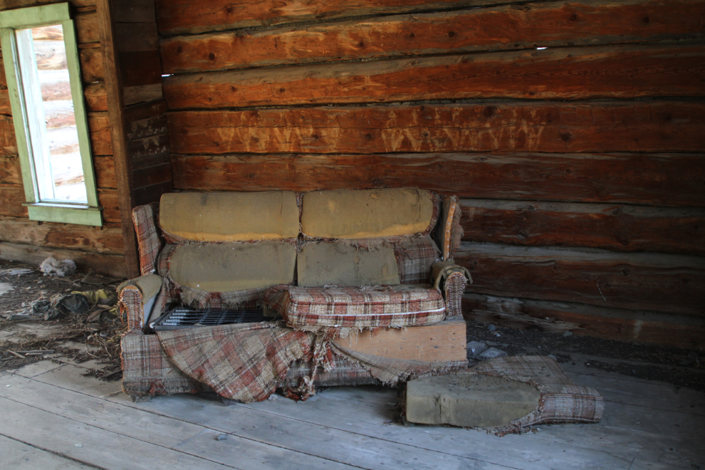
The living room of the main house. It’s worth noting that neither Farwell Canyon nor the Pothole Ranch are protected by any ecological or historic designation.
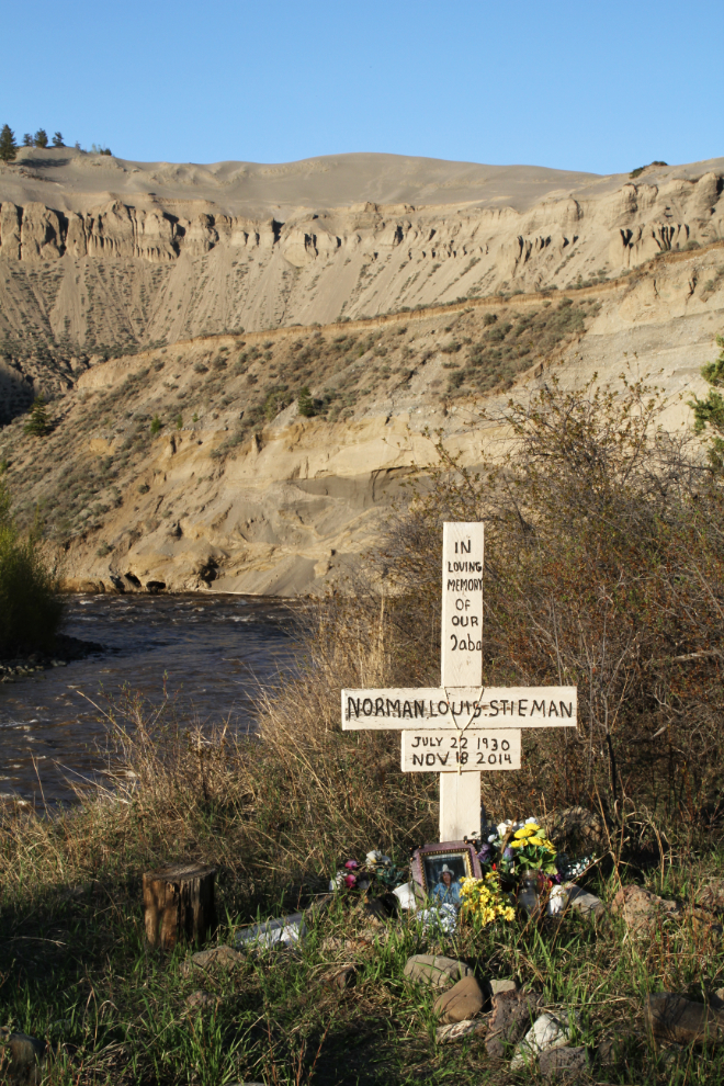
At the downriver point of the property is a memorial to Norman Louis Stieman, 1930-2014.
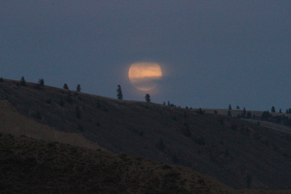
The full moon rising over the ridge to the east at 8:41 pm.
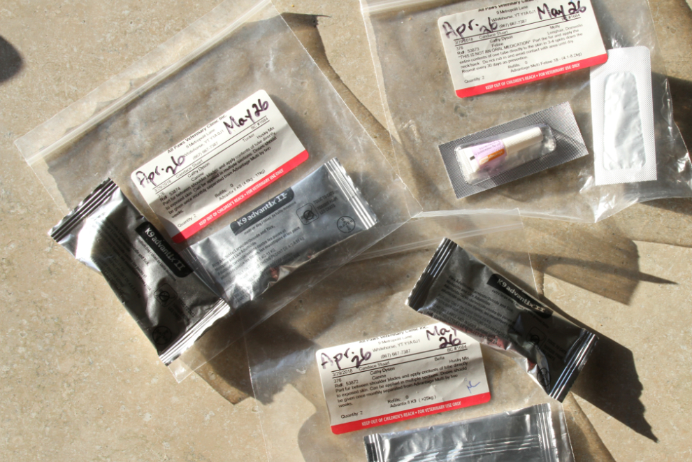
On Monday morning, the first job was to administer the next dose of tick (etc) medications for Bella, Tucker, and Molly. The dogs are really good about it, Molly not so much 🙂 We use Advantix II for the dogs, Advantage Multi for Molly.
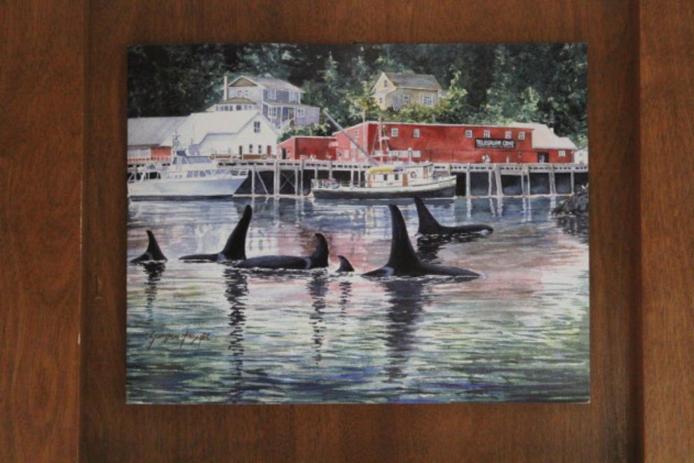
When we were in Telegraph Cove on Vancouver Island, we bought this print and have it taped up in the rig as a reminder of a trip that we must do again. I phoned Cathy from Williams Lake, and another 3-4 weeks on “the Island” just may be on for September 2019 (September offers the best orca experiences).
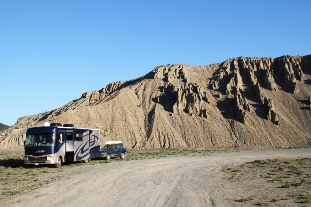
At 07:30, with the temperature at +4°C and a chilly wind, the dogs and I had a walk and ball-play near the motorhome.
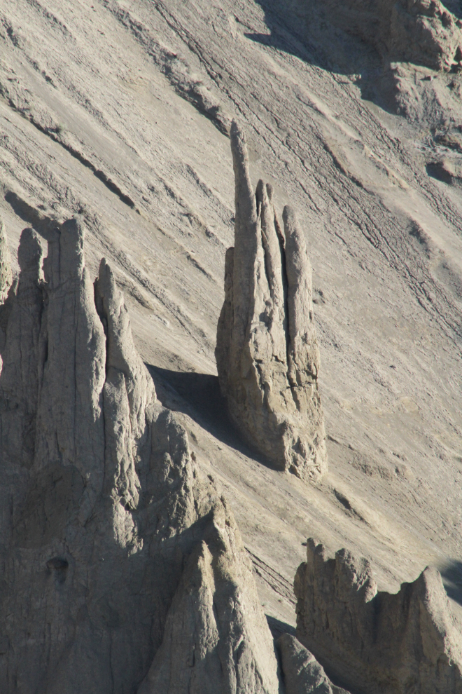
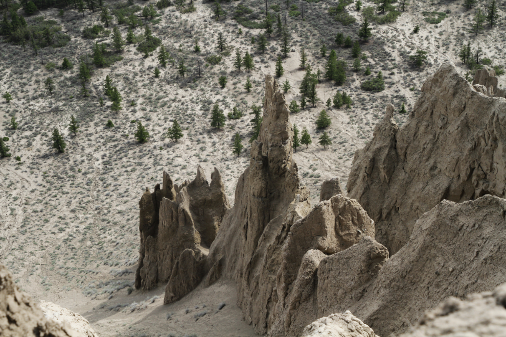
The hoodoos are so incredible. It’d be cool see a multi-decade time-lapse to see the changes – some of them must collapse, and forming them is probably a continuing process.
A look over the edge was all it took to get us walking back down the ranch. You might wonder why I don’t camp down at the ranch. It’s a combination of the road being dicey for a rig this size, and I like the expansive views up top. I also really like watching the logging trucks go by (though there weren’t very many this year).
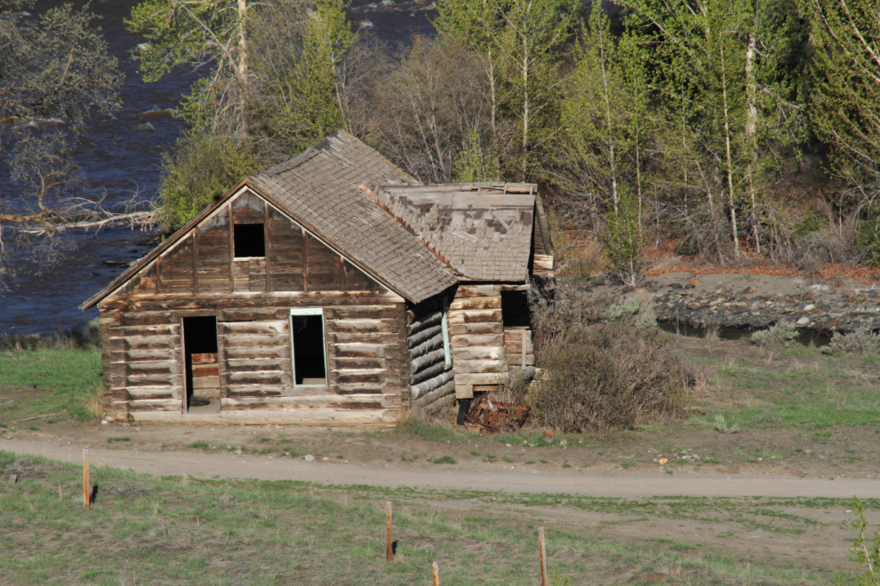
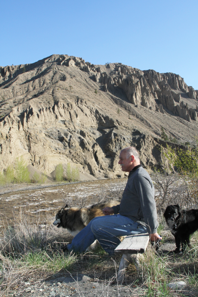
Just upriver of the main ranchhouse is a bench sitting on top of what appears to be a man-made hill, though I can’t imagine what purpose it would have been built for.
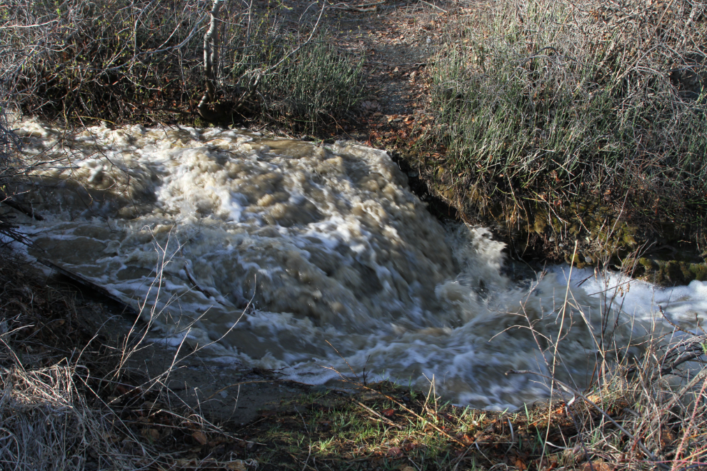
The tiny creek that flows along the upriver end of the property was a raging torrent.
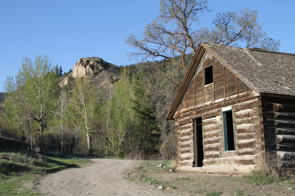
Another view of the main ranchhouse.
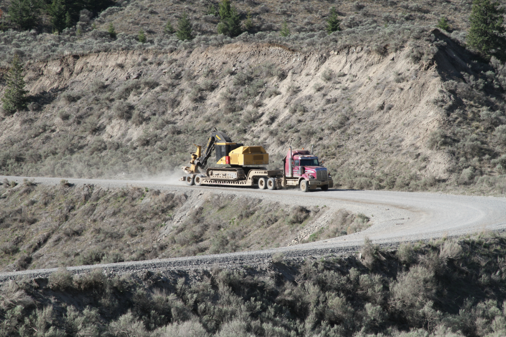
In previous years, the majority of the traffic going by has been logging trucks. This year, there was a lot of traffic, including a large fleet of what appear to be grocery-carrying pickups and light trucks that I hadn’t seen before.
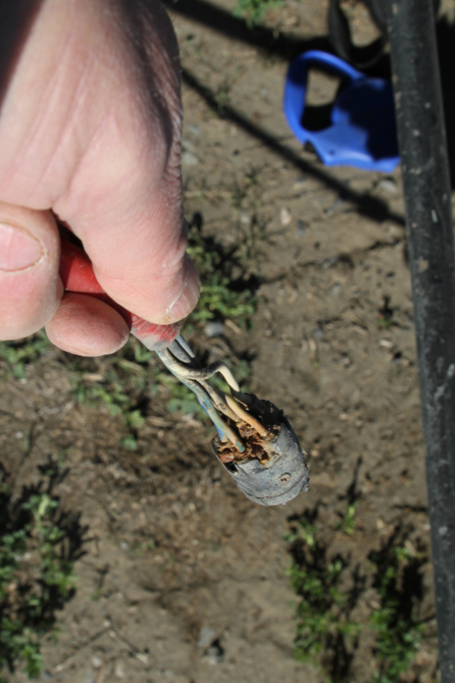
The lighting connection between the RV and the Tracker had quit working, so I bought a new connector set in Whitehorse to fix it with when I had some calm time (and the right mood – I hate electrical work). As soon as I took the old connector apart, it was obvious what the problem was. When Fireweed RV installed it, they didn’t seal it, so water got in and everything corroded.
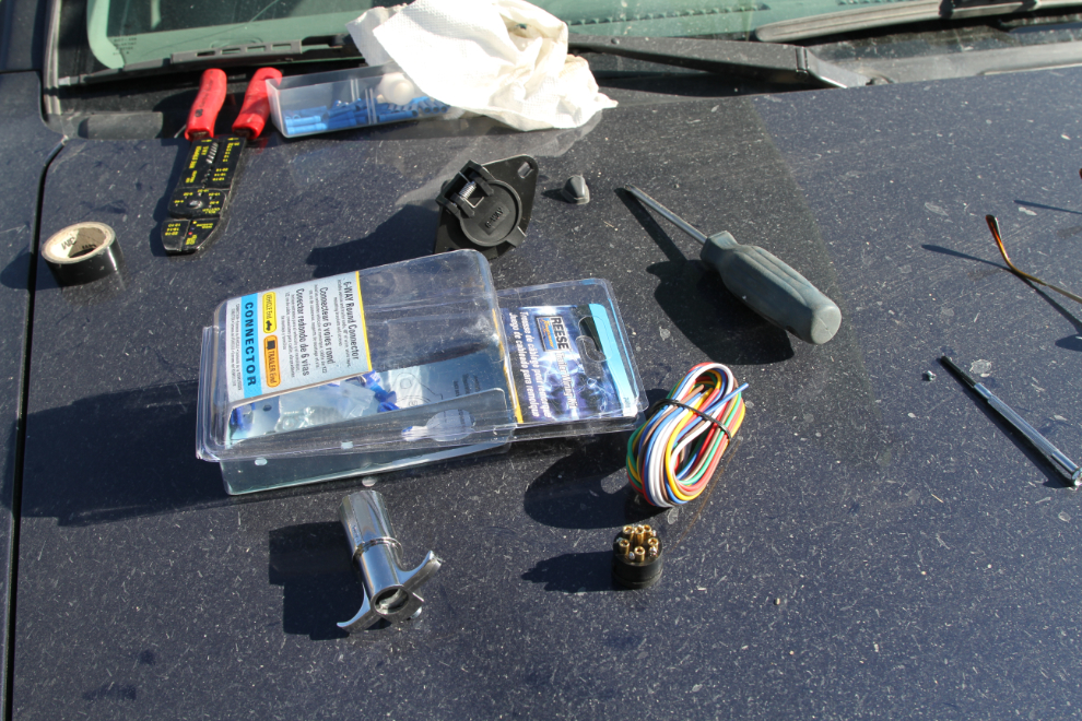
Everything ready…
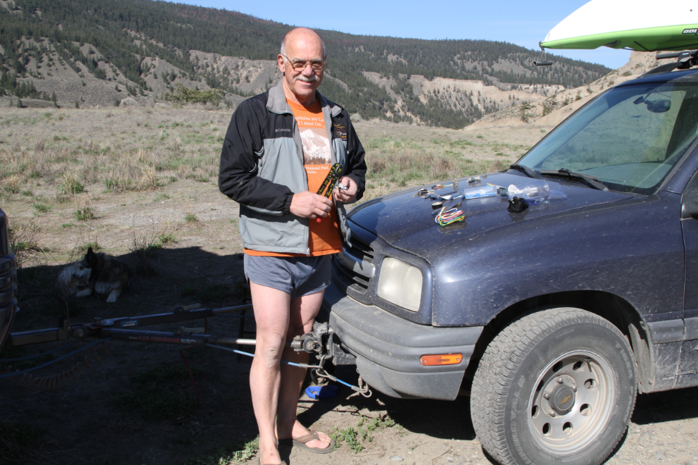
The sun was lovely but that wind was bloody cold! Anyway, the lights on the Tracker were soon working again.
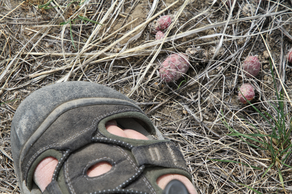
By noon, it had warmed up nicely. Sometimes I need to go for a walk without the dogs – on this road, they got cactus in their feet both times I took them.
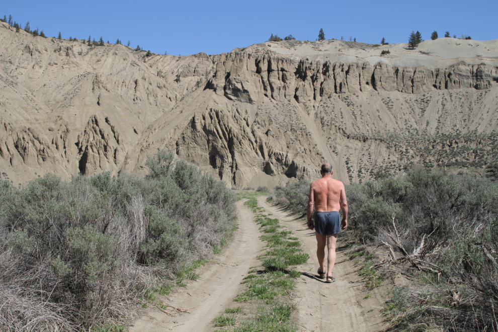
From the end of that road, I could see 2 people and 3 dogs up on the top of the sand dunes. A drone was also flying above me – a couple of fellows from Forestry had come by the previous day to tell me that they were going to be flying one to do some aerial mapping. I’d like to see one of those mega-buck drones up close.
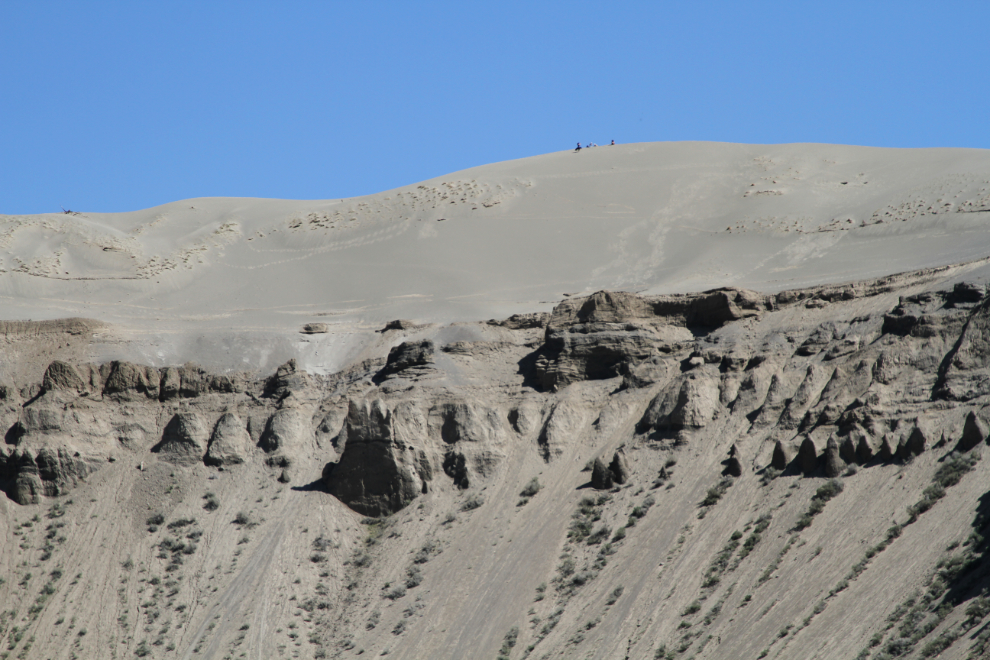
Just before 1:30, I headed out on the major event of my Farwell Canyon visits – a hike to the sand dunes. Because of cliffs and cactus, Bella and Tucker didn’t get to come.
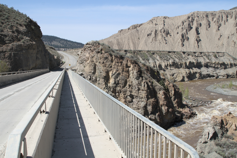
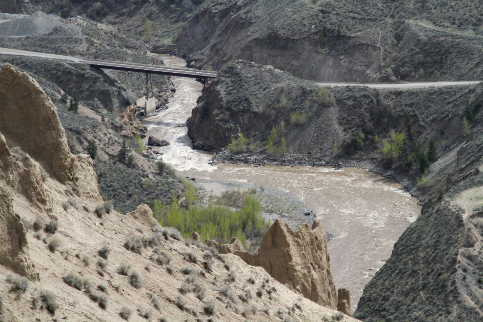
I stopped at the one-lane Chilcotin River bridge and walked back for a few photos. As well as the bridge itself being really interesting, there’s a fishway through the rapids below the bridge.
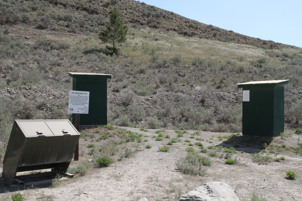
Just north of the bridge, this rest area was installed in 2016. The sign advises that this is a “User Maintained Site” and that “abuse of this system will result in the removal of all facilities.”
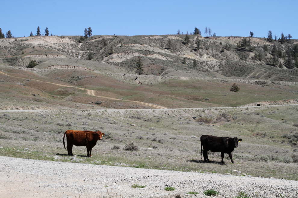
There are often cows hanging around the start of the trail to the sand dunes.
The trail begins by dropping into and climbing back out of this large gully, and there are two more to traverse along the route as well.
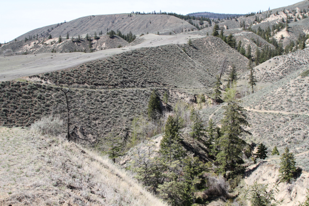
A sign notes that this is private property, and although everyone is welcome, only foor traffic is allowed – no bikes and nothing motorized. The sand dunes can be seen right ahead.
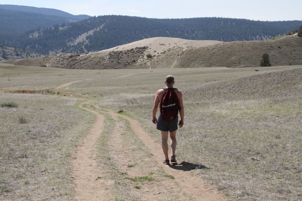
I soon came up with a much more ambitious plan – I wanted to see what the top of the entire canyon ridge looked like. I switched to my 10mm lens to get this broad view just past the sand dunes.
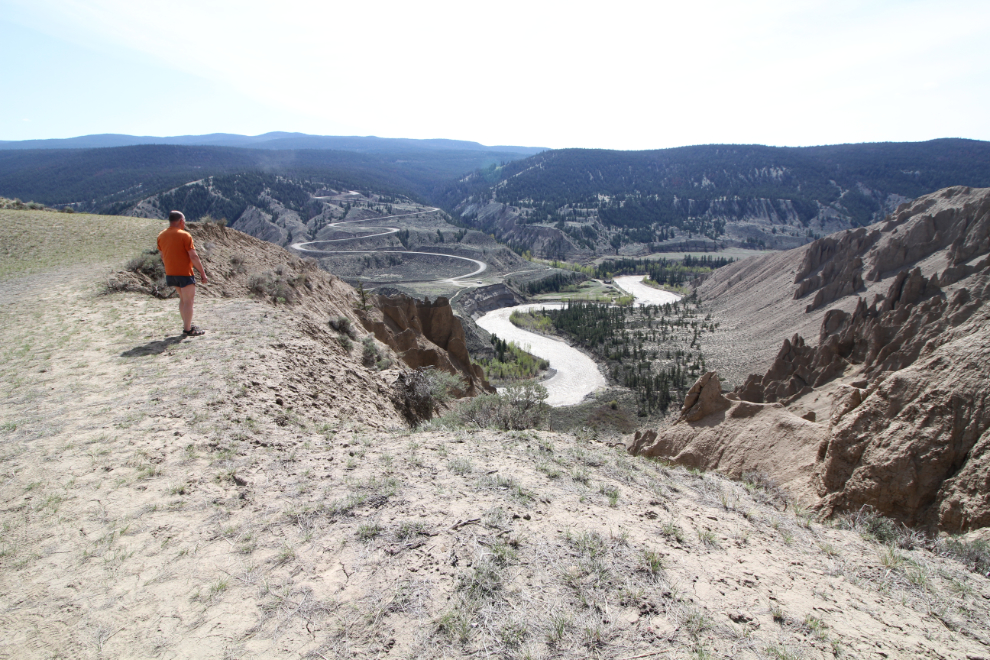
A different look at the Pothole Ranch.
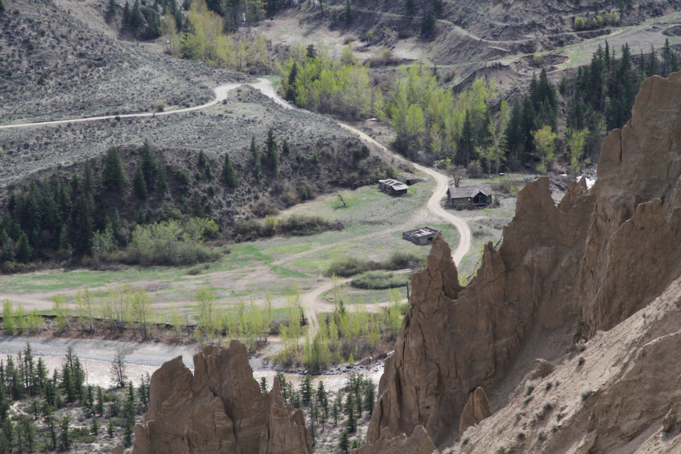
The Chilcotin River bridge.
Did I mention cactus? These little buggers really hurt when you’re pulling them out of a dog’s foot (the spines easily go through normal gloves)!
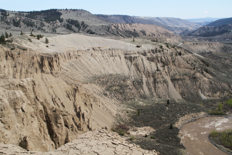
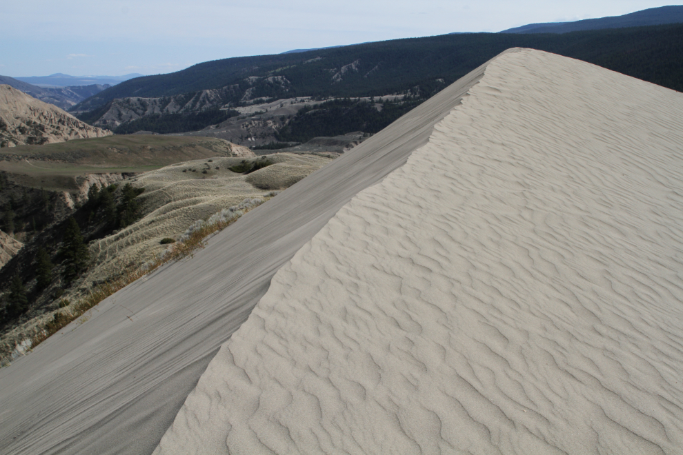
Here’s a good look at the sand dunes. Pretty incredible, very special.
Looking pretty much straight down at some of the hoodoos – yikes!!
Some people had recently been mountain-biking along this path, but I could barely walk it, with a strong wind blowing from the right. One section was much worse, and I couldn’t walk along it – I took a route through the bushes. That sort of exposure didn’t use to bother me – I must be out of practice.
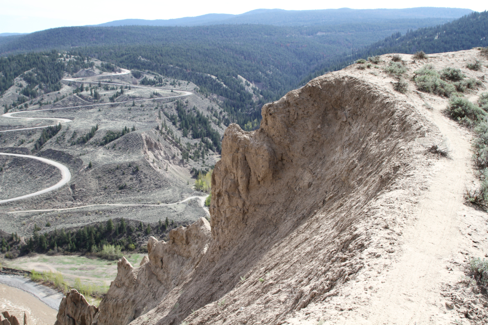
This was as far as I went. The ridge in the photo was the actual end but didn’t appear to offer anything that my location didn’t have, and it looked like few people went out there.
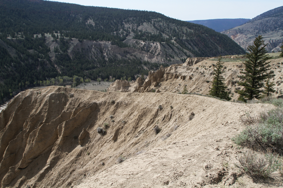
The Pothole Ranch from the end of the trail, a couple of minutes before 3:00 pm.
Okay, back to the sand dunes. With a strong wind blowing, I expected that it might be a short visit.
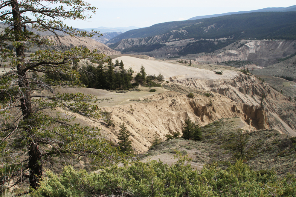
Parts of the trail beyond the dunes are quite steep.
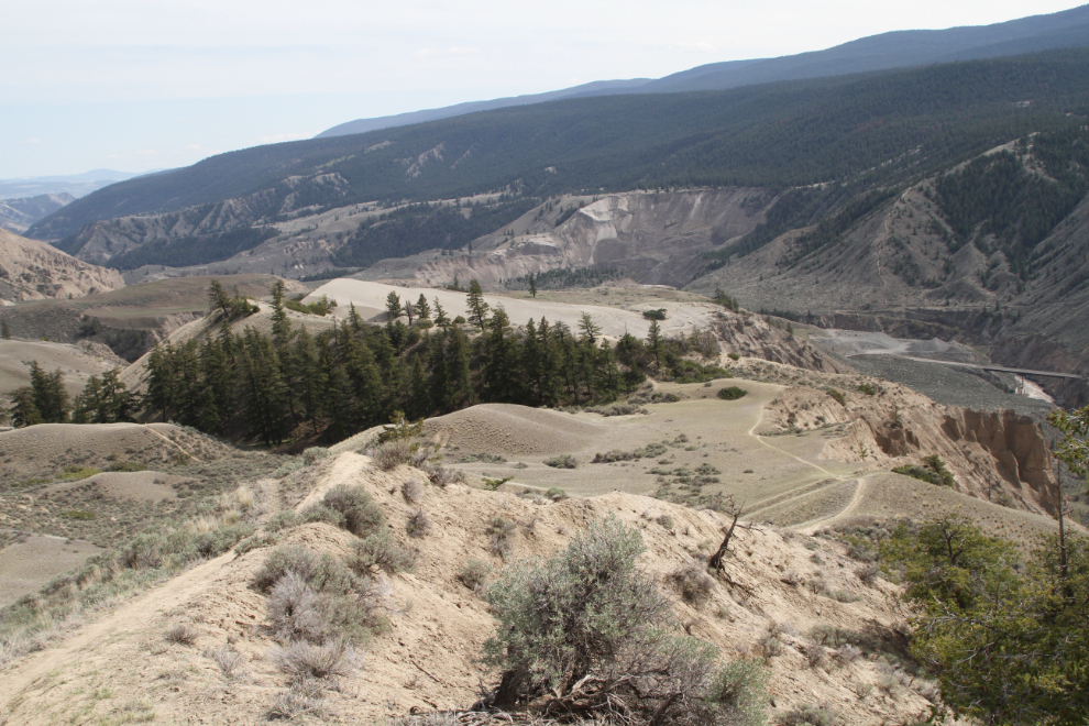
On a windy day like this, the sand dunes are very active as well as beautiful.
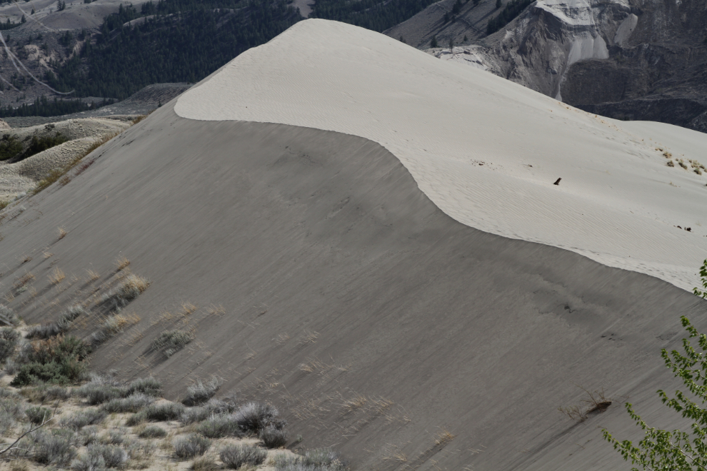
Warm sun, soft sand, incredible views, and nobody around for miles are an irresistible combination… 🙂
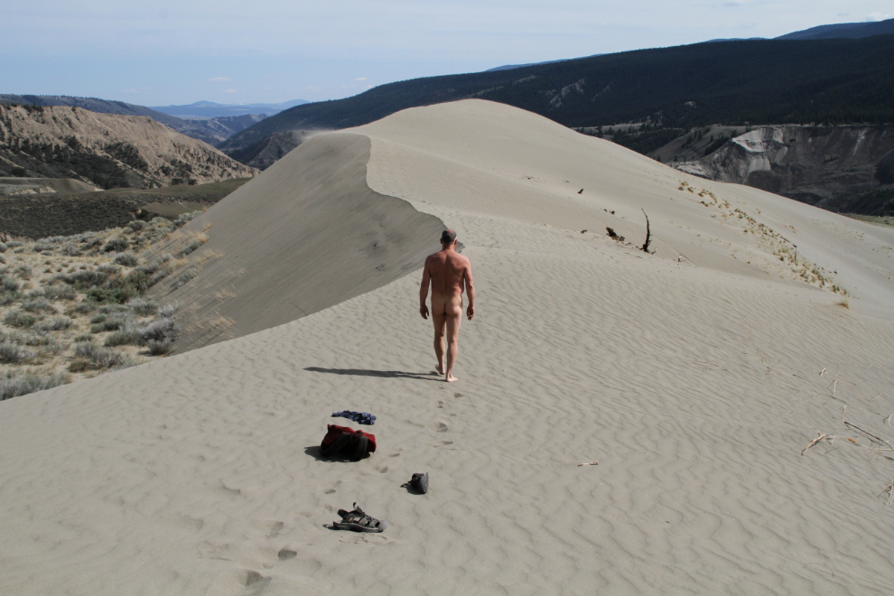
The wind very quickly removes all traces that anybody has been here before you. There was no sign of the 2 people and 3 dogs that were here (they were getting into their car to leave as I arrived at the trailhead).
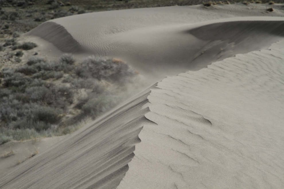
The wind was even stronger out at the peak, so I didn’t hang around. I’ve seen some people climb up from that side of the dunes – the trail starts at the Chilcotin River bridge, but although it’s very short, it’s also very steep.
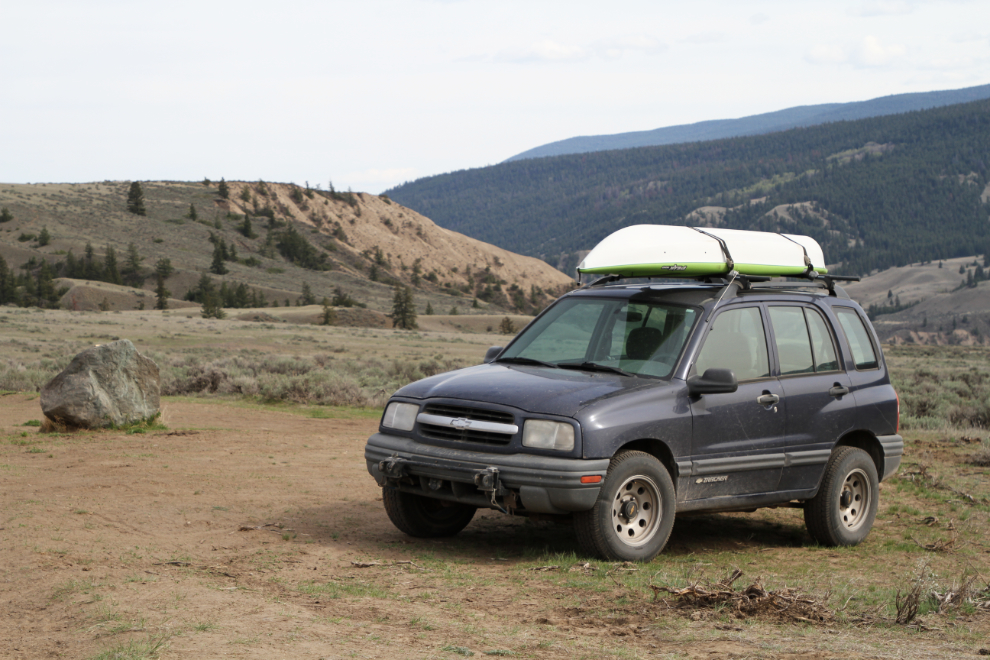
For my first hike of the year, this one might have been too ambitious – I was very glad to get back to the Tracker at 4:15. Bella and Tucker didn’t even get a walk down to the ranch that evening.
We got hit by extremely high winds last night. It scared Bella, and took my deck chair for a trip. The winds are light this morning but there are lots of clouds, so after breakfast, we’re going to head back into Williams Lake. The visitor centre will be open now so I can post the last couple of blog posts, and hopefully find a place to do an oil change.
