Driving from Farwell Canyon to Cache Creek
On Day 6 of the trip – Tuesday, May 1 – I drove from Farwell Canyon west of Williams Lake to the Redhill Rest Area south of Cache Creek, then did some exploring in the Tracker the next morning.
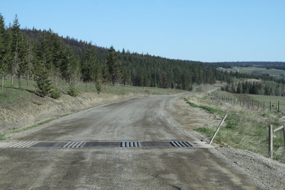
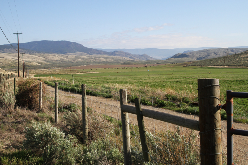
Tuesday had started out very cloudy, and there was extensive cloud to the east, the direction I was going. By the time I took this photo at 08:25, at a cattleguard about 3 km from Highway 20, the skies had cleared and it looked like a beautiful day coming.
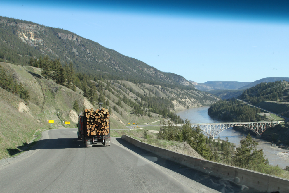
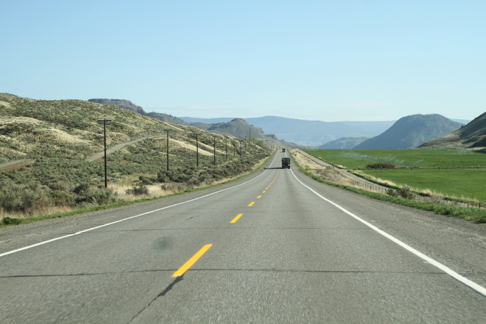
Eastbound on Highway 20, the hill down to the Fraser River is very long and very steep. There are several runaway lanes for truckers who screw up and lose their brakes.
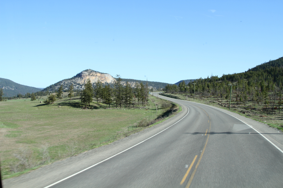
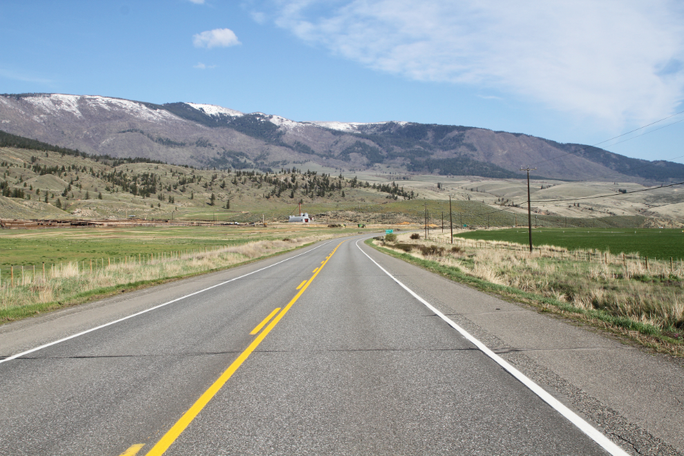
The variety of terrain in this area west of Williams Lake is quite remarkable.
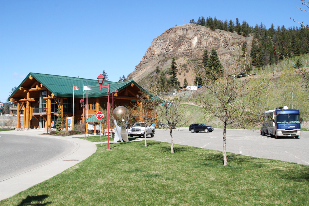
My first stop in Williams Lake was at the beautiful Visitor Centre, built of massive logs. It’s a great place to walk the dogs on soft grass with no cactus, and then I went inside with some questions, and to hook up my laptop, for charging and to upload the last 2 blog posts.
Once I got my computer work done, the visitor centre person said that Canadian Tire could do an oil change on the motorhome, and that the flooding danger on the highway ahead was now over. When I went to Canadian Tire, though, the response was “it’s tire changeover season” but that they’d fit me in at 10:00 am the next day. I thought about that for a minute and decided that it could wait for a while yet. While I could easily fill 24 hours in the Williams Lake area, my head just wasn’t there – I had too many things in mind further south. I next went to dump and fill my rv tanks, then washed it, and headed south just after 1:00 pm.
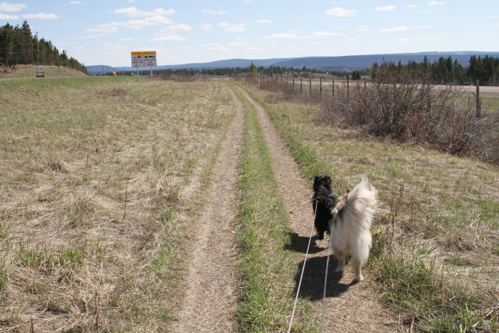
At about 2:30, I stopped at a large pullout beside the Mile 108 airport to make a late lunch and take Bella and Tucker for a good walk.
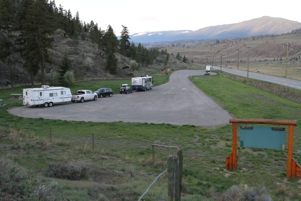
South of Cache Creek, the evening light was gorgeous, and I stopped at the Redhill Rest Area with the intention of unhooking the Tracker and going back for some photos. But when I went to fire “Goldie” up, she was completely dead! After setting up for the night and having dinner, I backed the motorhome up, and hooked jumper cables up to the Tracker. She started no problem. So at least it’s some minor thing, though at this point I have no idea what. Carrying a spare vehicle is sure easier than calling BCAA when things like this happen 🙂

I shot the next photo at 06:20 the next morning – four other vehicles had joined me at the rest area overnight.
After breakfast, the dogs and I left Molly behind and went exploring in the Tracker. We’d just backtrack to the north and see what came up that was interesting.
From the irrigated and now-productive desert to the snowy peaks, with a whole lot of country burned in last year’s massive wildfires.
The light wasn’t nearly as good as it had been the previous evening, but it’s really pretty country in any light.
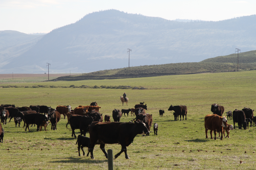
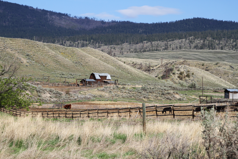
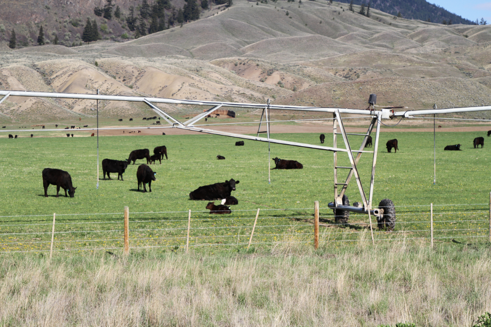
Within a few minutes we came upon 4 cowboys and 2 dogs herding about 250 cows and new calves. We spent a few minutes watching and listening to them. The cowboys with dogs were constantly yelling commands. One cow decided that the dog wasn’t her boss, and turned with her head down in defiance. Within a few seconds of darting back and forth and barking, the dog had changed her mind. Tucker was fascinated by the whole thing, but Bella quickly got bored and went to sleep. I wonder if the cowboys, at least the ones with dogs, do contract herding – I find it hard to imagine that one cattle operation could keep them busy.
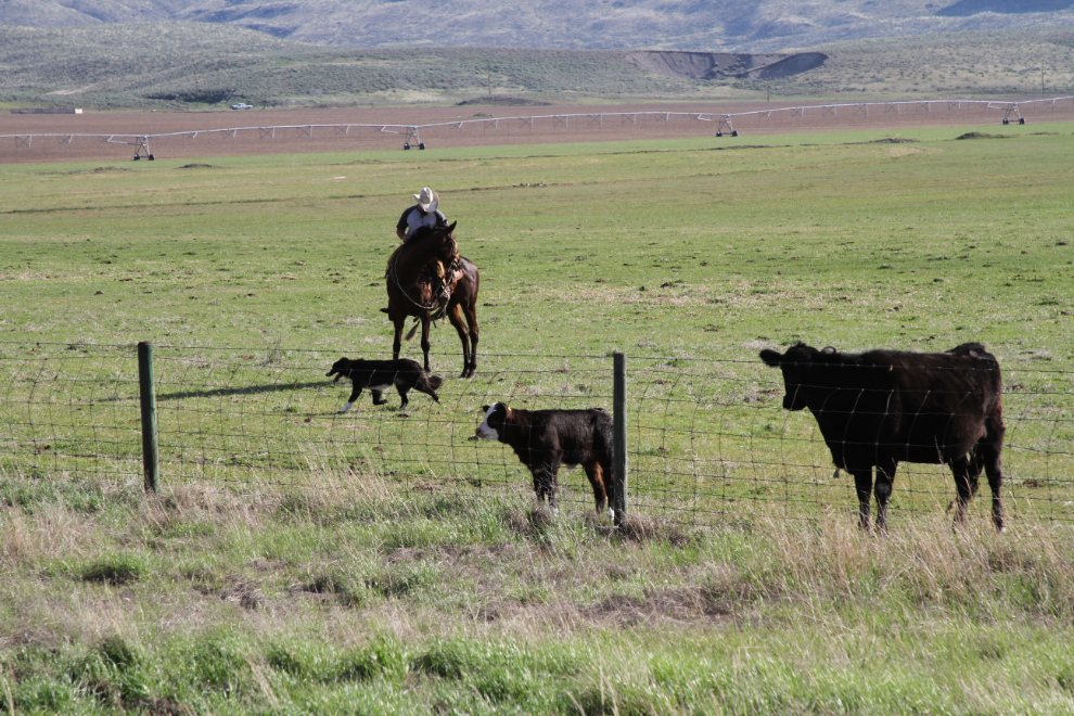
Photos from the shoulder of the road always look awkward to me, so it’s nice to be on a highway with little enough traffic that I can step out into the “correct” location for a shot 🙂
Cattle operations fascinate not only Tucker, but me as well. This small one offered a few good photo ops.
I imagine that people in this area figure that anyone taking pictures of cows must be a city-slicker from Vancouver, not thinking that there actually are rural and remote places that don’t have cows 🙂
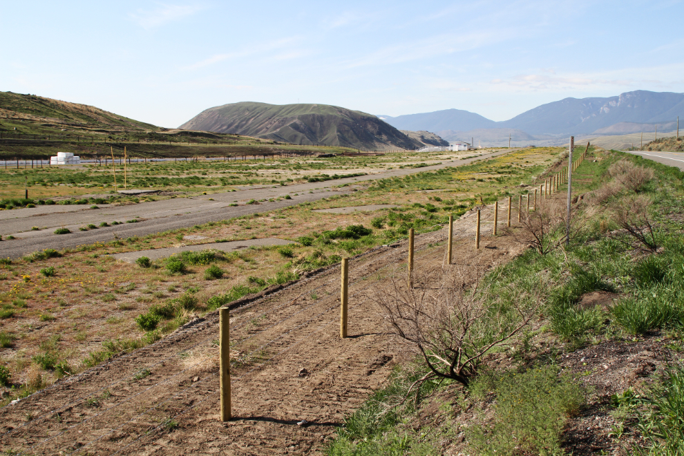
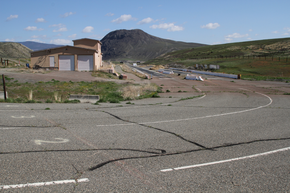
I stopped along the highway for a couple of photos of the long-abandoned Ashcroft drag strip. Did that ever bring back some good memories. I could almost smell the nitro-methane fuel from 45+ years ago. This was a great little strip that attracted racers from hundreds of miles around – as far as Seattle.
Back in the day, Cache Creek was very car-oriented, with the drag strip, and as the destination for many car club poker runs and such events. In the village crest is a ’57 Chevy.
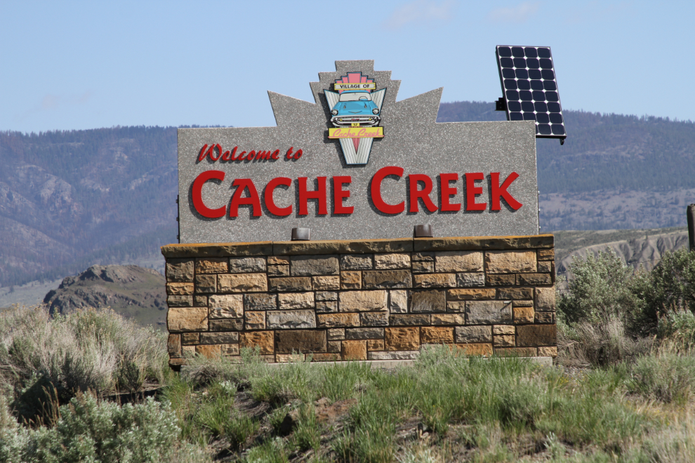
Just a few days before, downtown Cache Creek was badly flooded, but other than a whole lot of sandbags around buildings and driftwood along the streets, there was no sign of a problem now. Coming south with the motorhome, I couldn’t figure out how it could flood, but on this pass through, I could see that debris from a small creek beside the Dairy Queen had blocked the culvert and caused the flood.
Further north of Cache Creek, the Bonaparte River was causing some residents concern, but there didn’t appear to be any damage despite dire warnings in the media about “biblical” flooding coming right about now.
A productive farm, dry hills, and burnt mountaintops north of Cache Creek.
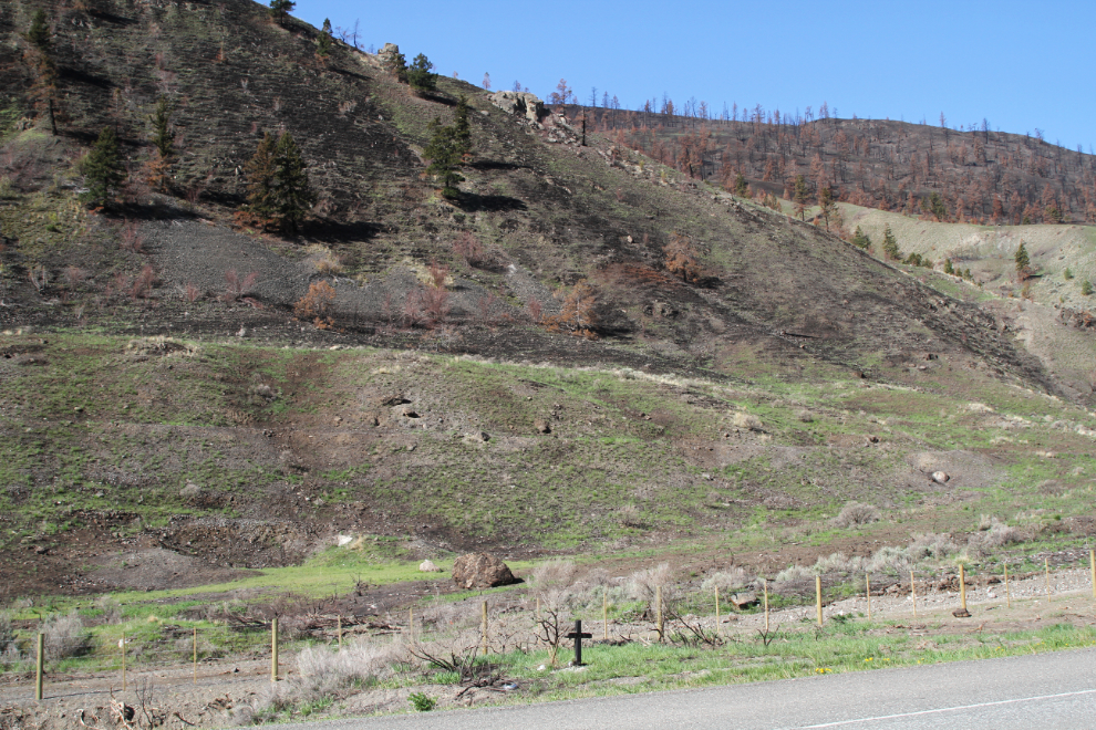
It looks like some of the wildfire areas got extremely hot (the way the rocks are scorched), and some fires came right down to the highway. A memorial cross was burned here. Many miles of fencing (many hundreds of miles, I expect) have been or are being replaced.
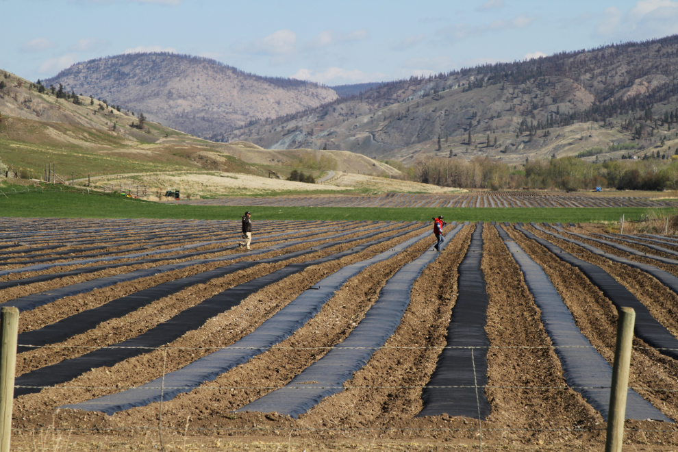
I backtracked as far north as the historic Hat Creek Ranch, where the highway was completely closed by flooding a few days ago. There was no sign of problems now. I wonder what crop requires that sort of preparation, in a field adjacent to the Hat Creek Ranch.
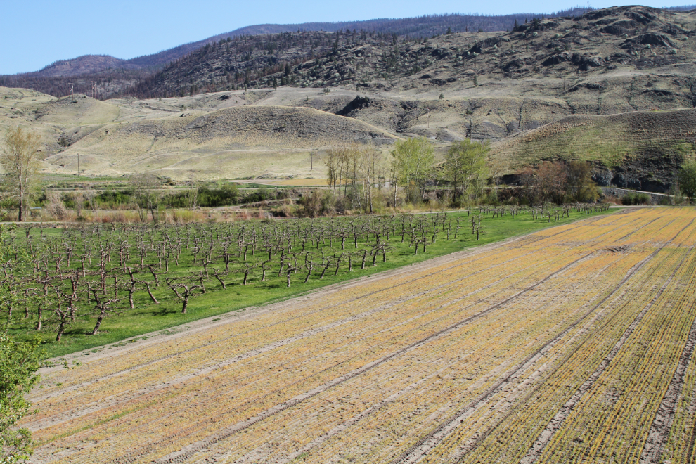
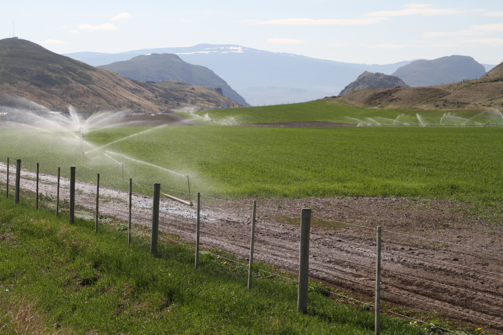
On the northern outskirts of Cache Creek, a good example of how you make a desert bloom.
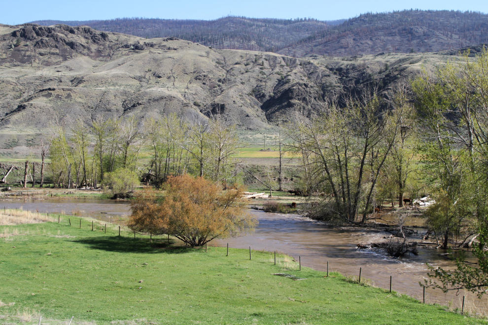
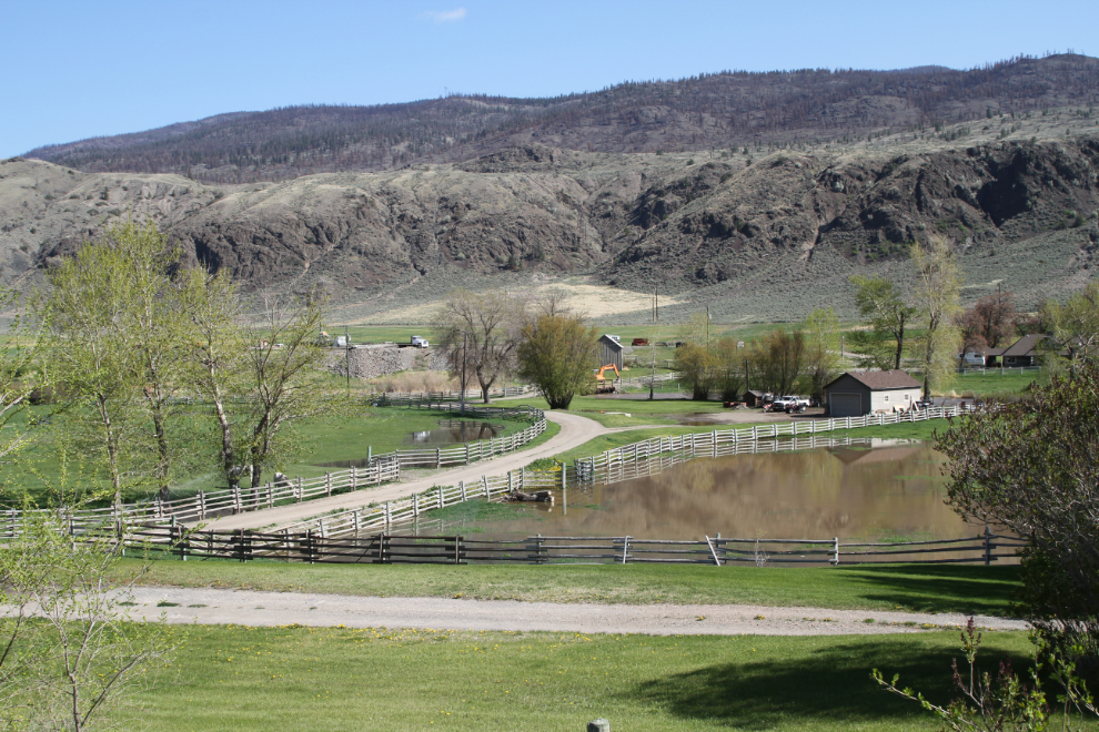
Across the road from that irrigation, there’s a bit too much water on this property.
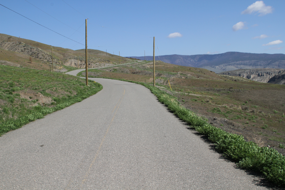
I decide to go up the hill to have a look at the Cache Creek airport (named the Campbell Hill Airport, it just opened in 1985). This is the road to it.
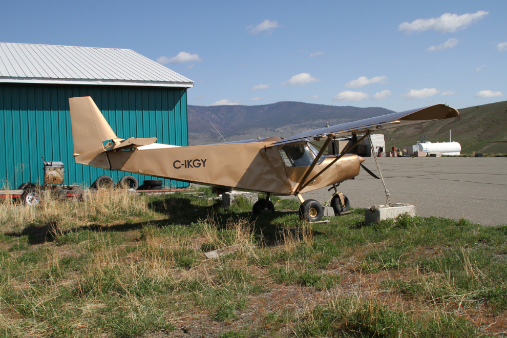
One of the 3 aircraft at the airport is C-IKGY, a Zenair CH701 SP. At least two aircraft hangars here were burned during last year’s fire that swept through this area.
I kept thinking about the Ashcroft drag strip, and went back to see if I could get closer. Much to my surprise, the property is wide open. This view shows the staging lanes for cars getting ready for their spot on the starting line.
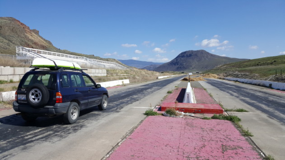
“Goldie”, staged and waiting for a trip down the 1/4 mile! A slow trip, very unlike the ones my heavily-modified ’69 Camaro used to make 🙂
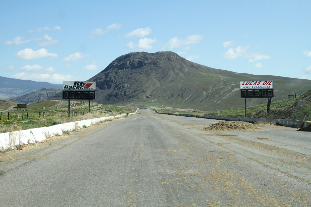
The timing lights at the end of the 1/4 mile, with the sloped shutdown area ahead. Spend a small fortune and hundreds of hours for that 10-12 second drive on a straight piece of road. Crazy, eh? 🙂
By about 11:30, Goldie was hooked up to the motorhome again and we were on our way south. Destination? Lytton, perhaps.