Experiencing Liard River Hot Springs Provincial Park
One of the most highly recommended activities along the Alaska Highway is a dip in the large natural pool at Liard River Hot Springs, and a fairly large percentage of the people who drive the highway seem to heed the advice. But there’s much more to the park, and a longer stay is very worthwhile.
The 1,082-hectare Liard River Hot Springs Provincial Park was established on April 26, 1957 to protect the second largest hot spring in Canada, but the hot water was used by people and animals long before that. During the construction of the Alaska Highway in 1942-43, it was even the site of a large laundry.
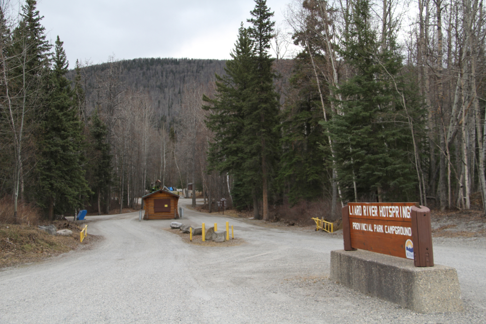
The park is open year-round, though the gatehouse at the entrance is closed off-season. This is the access road to both the hot springs and the campground. Across the highway is Liard Hot Springs Lodge, which offers rooms, meals, and an RV park.
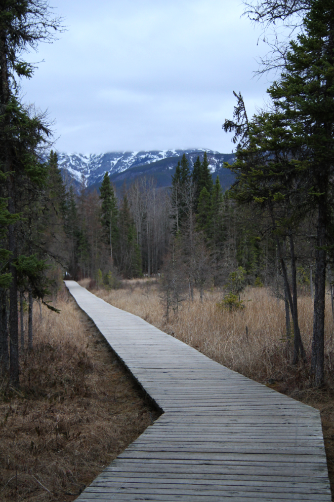
Access to the hot springs is via a boardwalk that crosses a warm water swamp and goes through the boreal forest. Tiny fish (lake chub) can usually be seen in the swamp, and moose sightings are common. The next photo shows the boardwalk in late April.
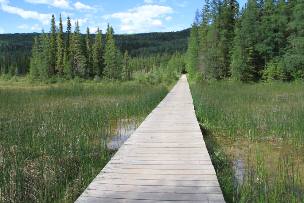
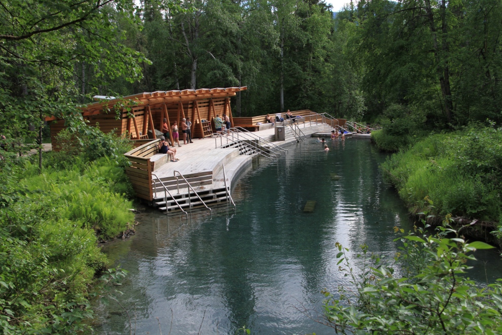
The park looks very different in July.
The hot springs pool is called Alpha Pool, which may seem odd unless you know that there used to be a Beta Pool. It was located a 20-minute walk past Alpha Pool, but was closed a few years ago.
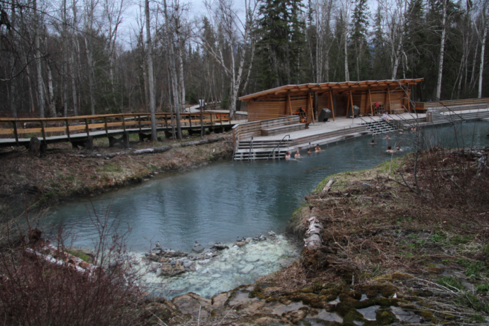
Alpha Pool also looks very different in early July.
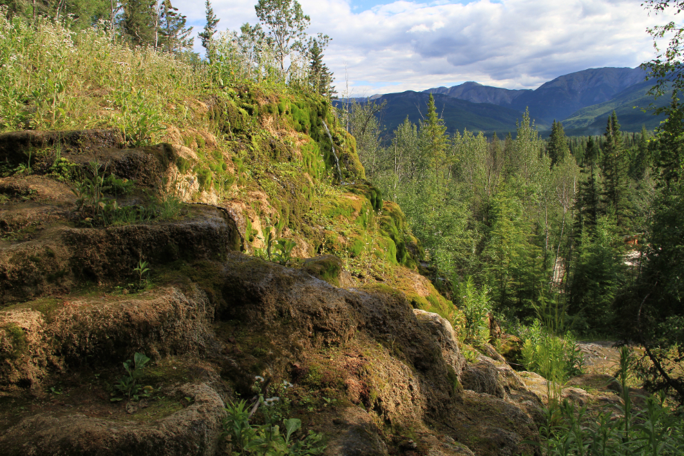
A short walk past Alpha Pool takes you to the Hanging Gardens.
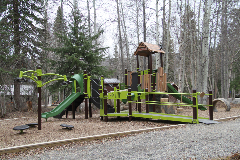
A marvellous children’s playground was installed last year (2015).
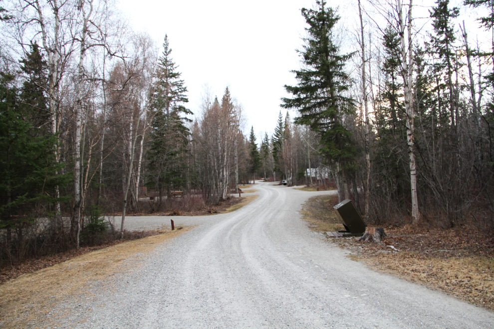
The campground is beautiful, with huge, private sites in the forest. The off-season rate is $16 per night, and in the summer it’s $26 per night. The campground fills up very early each day during the summer, and although there were only about a dozen RVs there when I camped in late April, the park attendant told me that it was almost full the night before. The night I was there, half the campers were from the Yukon, and most of the others were from Alaska, but the previous night there had been many tourists en route to Alaska.
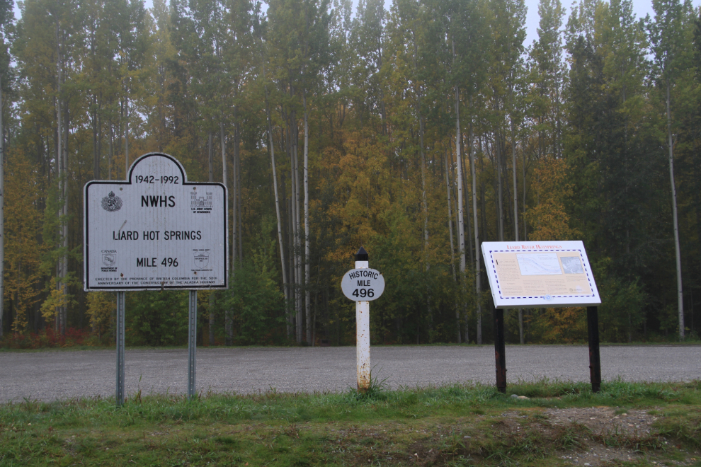
Across the highway from the campground, these interpretive signs mark Historic Mile 496 and describe some activities during the highway construction in the area. Other signs describe the wood bison. There is also short term parking as well as overflow camping here.
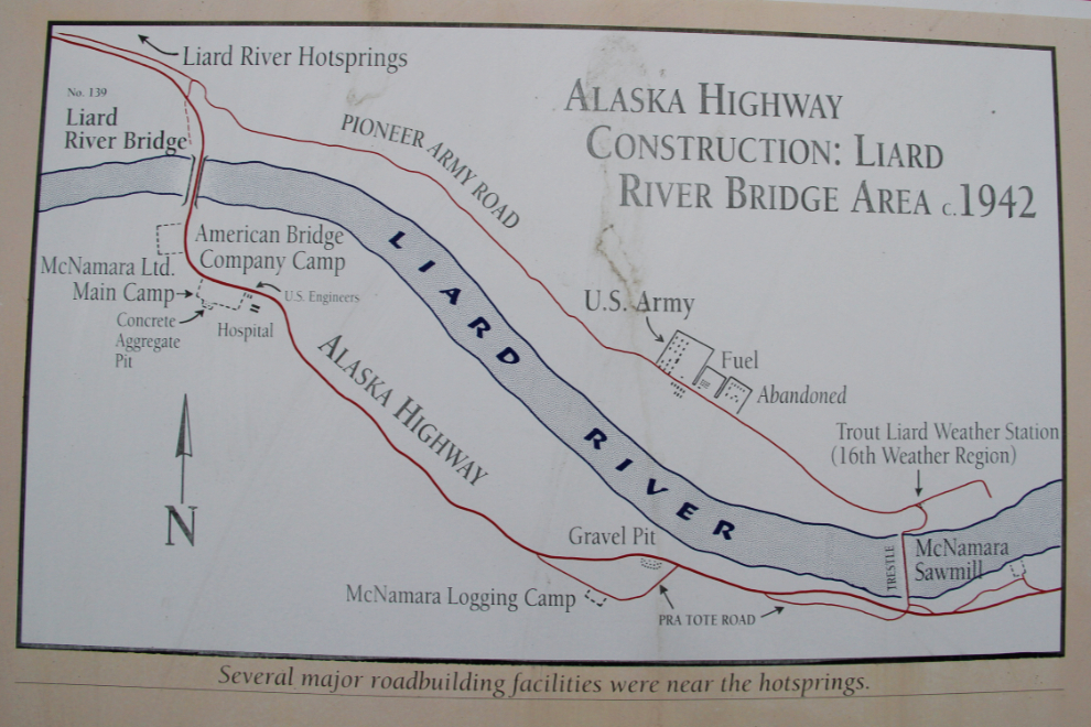
This map on the sign seen on the right in the photo above shows how significant the area was for U.S. Army facilities during construction of the highway.
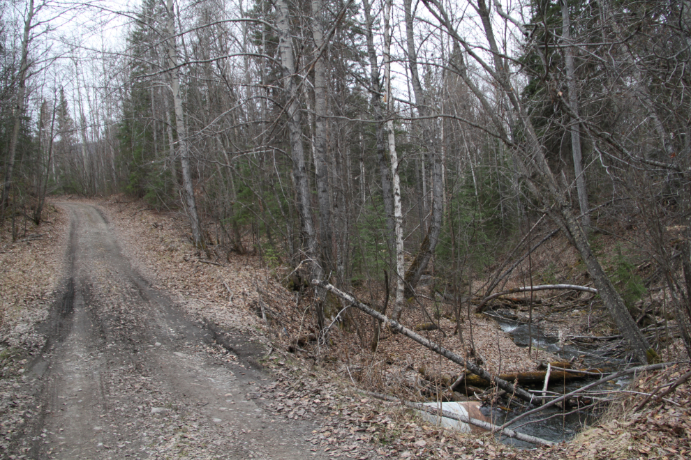
A few hundred meters/yards south of the hot springs entrance is a dirt road marked by a sign stating that it is a “Designated Vehicle Route”. This route offers superb walking (I’ve never seen a vehicle on it), but for those with an interest in history, this was also the original tote road pushed through by the U.S. Army in 1942. At that time, a series of wooden bridges got the road across the Liard River.
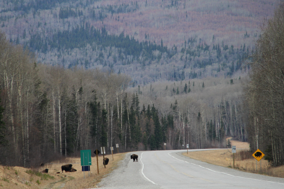
Perhaps as famous as the hot springs are the Wood bison in the area which are are thriving. They used to be seen in a small area north of the hot springs, but now they are commonly seen all the way from Muncho Lake to the Yukon border. The bison seen below were right at the hot springs entrance road.
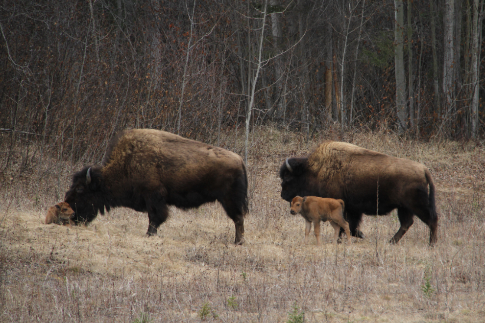
When I came through in late April, the bison had just started to drop their calves. From their wobbly actions, the two seen in the photo below, which was shot from my RV window, were probably only a day or two old.
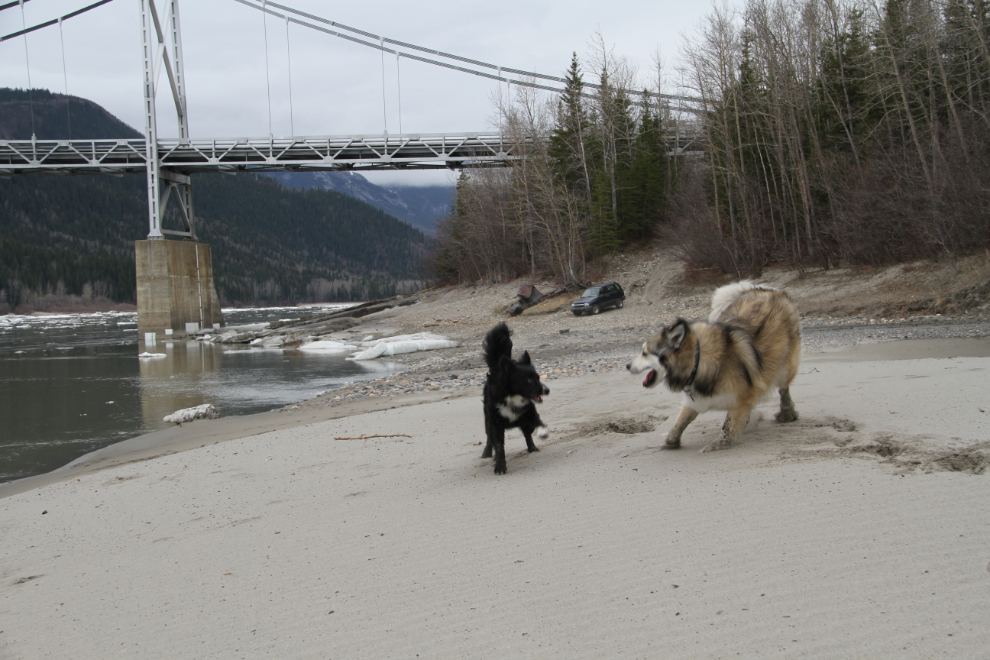
Just 100 meters/yards or so outside the park boundary is the last remaining suspension bridge on the Alaska Highway.
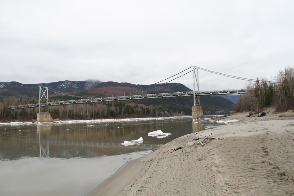
A rough road at the north end of the bridge leads to a parking lot below the bridge, and with a 4×4 you can get right down to the Liard River, where large stretches of fine-sand beach make a wonderful place for kids and dogs to play.
