A Winter drive from Fort Nelson to Quesnel
We had driven 944 kilometers from Whitehorse to Fort Nelson on Thursday, and our destination for this night was Quesnel, some 970 km south. We filled up the gas tank at $1.329 when we arrived last night, and after a good breakfast, were on the road at 07:20, with the temperature sitting at -17°C (+1°F) a good driving temperature.
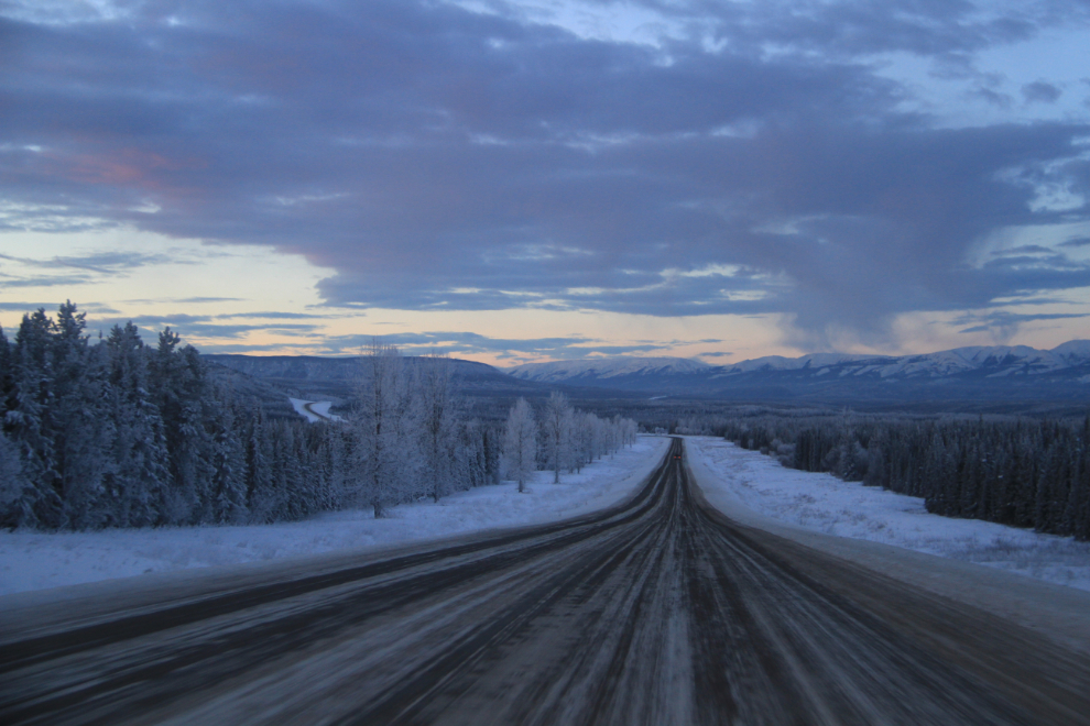
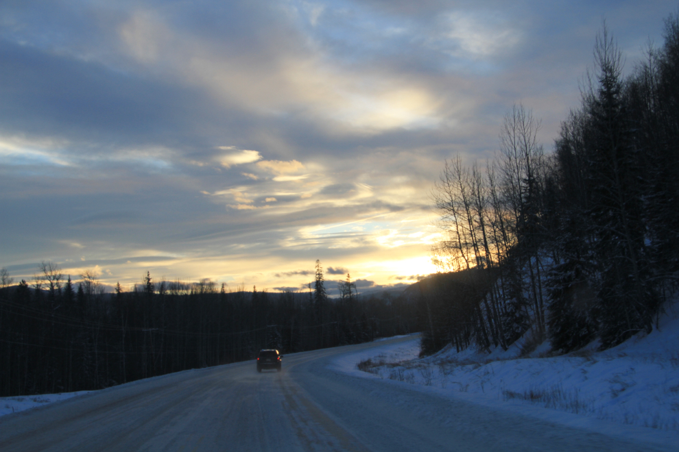
The sun wouldn’t rise until about 08:55, but I shot this photo 20 minutes before that.
Just a couple of minutes later, we made a stop at the side of the road for some photos of the sunrise colours.
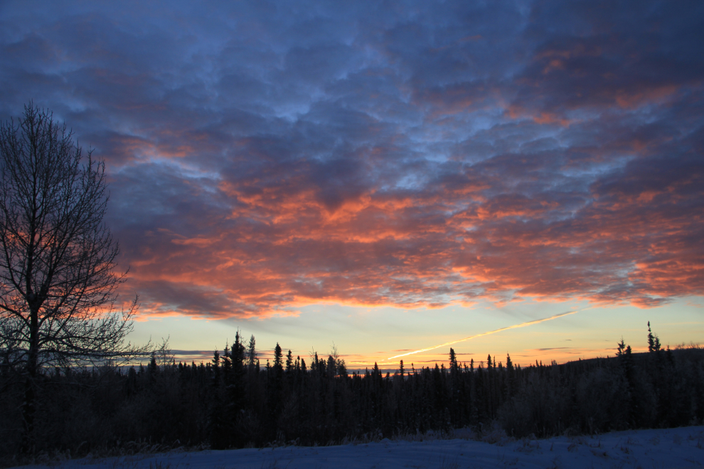
After coming through the Northern Rockies the day before, this isn’t dramatic country, but it is really pretty, especially on a morning like this.
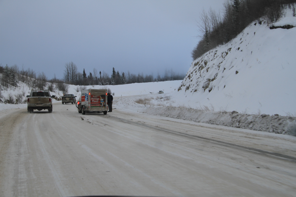
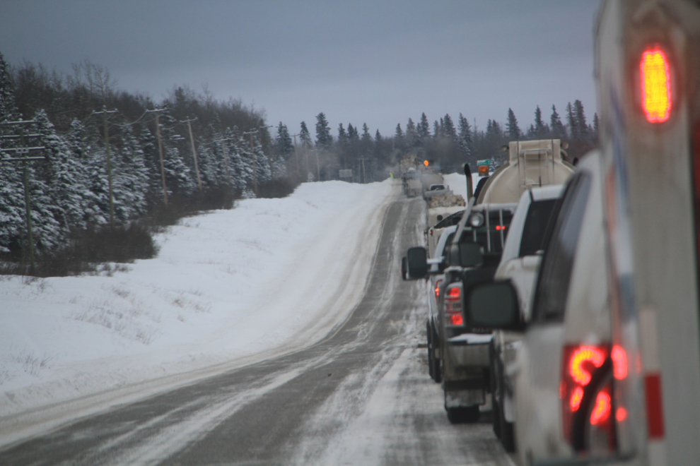
From the Buckinghorse River south, there’s a lot of oil and gas industry traffic, and problems can almost be expected. At the front of this mess that we came upon at 10:05 was a van pulling a U-Haul trailer which had spun out on the very icy hill. They were putting on chains, and the semis behind them were forced to also put on chains to get going again. Getting around them was extremely dangerous – if there had been any traffic coming the opposite direction, an accident would have been pretty much unavoidable.
Just an hour later we reached a very long stoppage caused by a dead semi, but at least a flagman was getting traffic around it safely.
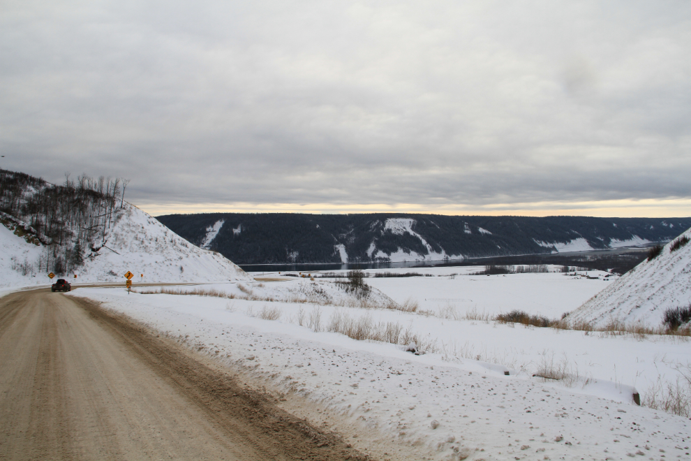
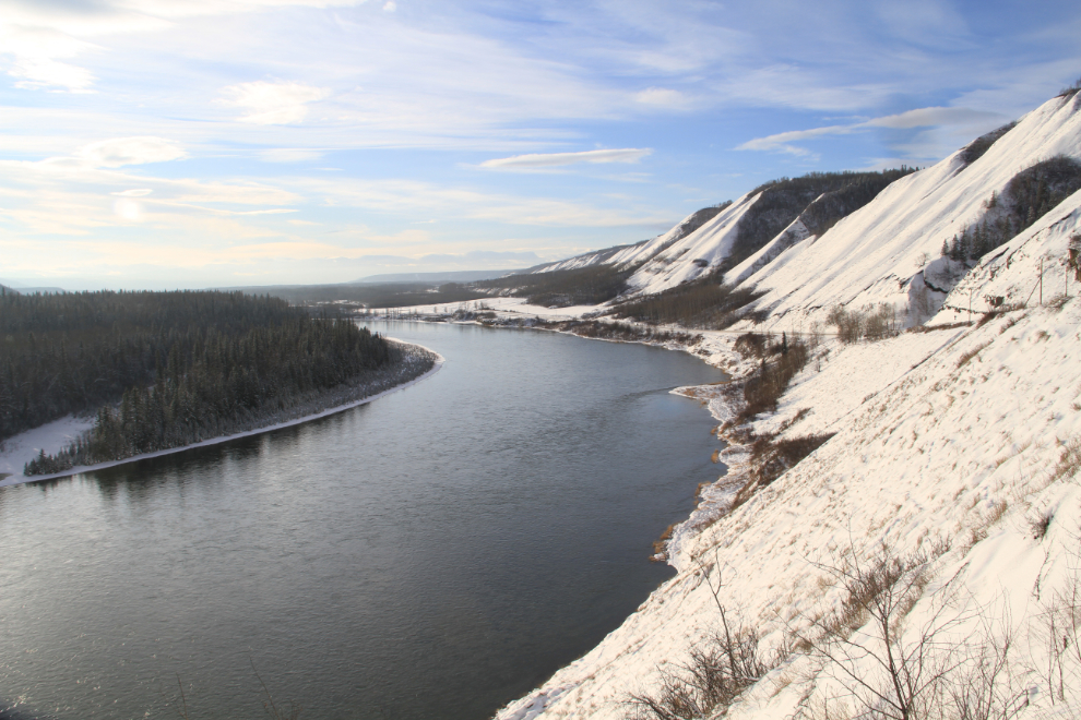
At about 11:30 we met Bobbie’s stepson at the junction of the Alaska Highway and Highway 29, and they arranged to meet on Vancouver Island over the holidays. Taking Highway 29 (a.k.a. Don Phillips Way) up the Peace River valley was a great idea – it’s extremely scenic compared to the way most people go, through Dawson Creek. The road has far more curves and hills, which is what makes it more scenic and less popular.
The part of the valley seen in this photo may some day be flooded by an extremely controversial new dam currently known just as Site C, as it would be the third dam on the Peace River. One of the biggest selling points for the $8 billion project is that it would generate approximately 35% of the energy produced at the huge W.A.C. Bennett Dam with only 5% of the reservoir area, but the 30 families who would lose their homes (and many others) have put up lots of protest signs.
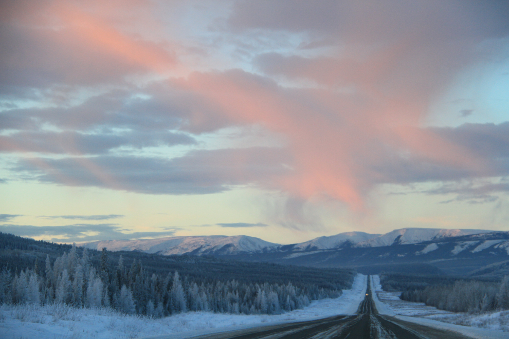
On an icy hill, I missed the entrance to a viewpoint and had to make a U-turn at the bottom of the hill to go back, but it was worth it. This is an HDR image made from 3 photos.
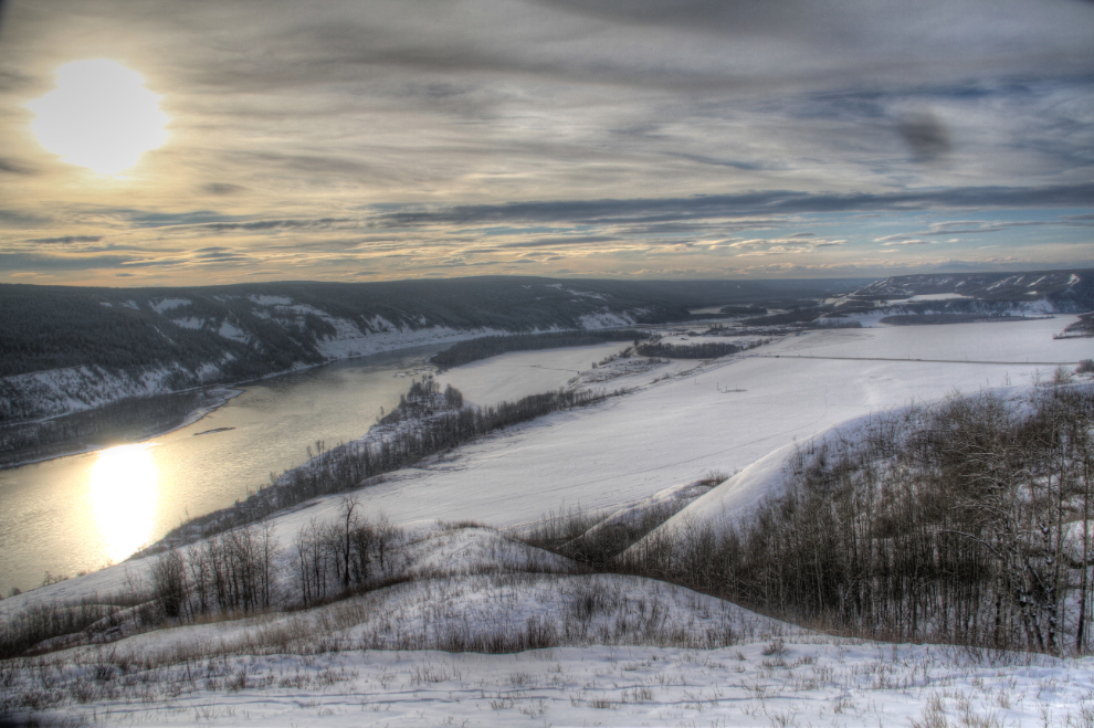
Another of the many shots I took at the viewpoint.
There’s not much commercial traffic on Highway 29, and most of it was log trucks hauling north from a cut block just north of the town of Hudson’s Hope. We met the van and U-Haul that had caused the problem on the Alaska Highway – he had spun out on another hill, and had torn a chain off getting going again. Some people seem to just go out looking for trouble.
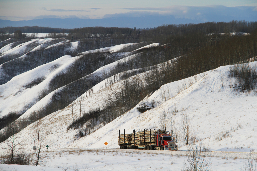
I knew that the drive would be slow due to the scenery. This was shot from a pullout at 1:00 pm. About 4 inches of snow had fallen the previous night, and having a 4×4 to get into this pullout was a comfort (well, it was a comfort for the entire trip, actually).
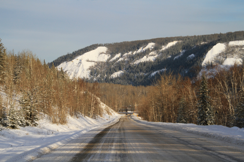
Looking back to the north as we neared Hudson’s Hope at 1:15.
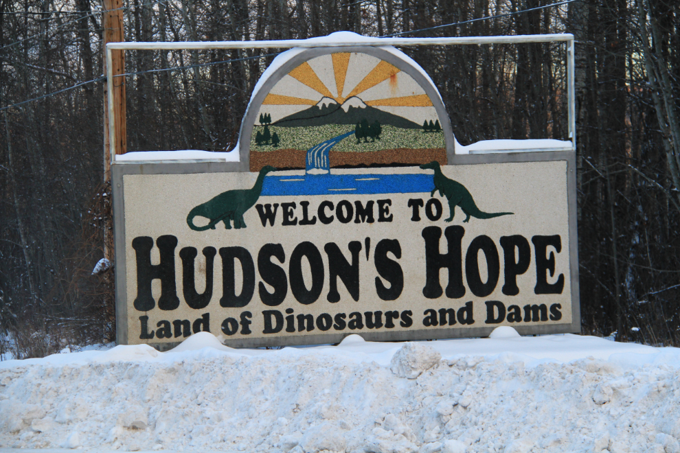
Hudson’s Hope is the third oldest community in the province, having been first settled in 1805. It had a population of 1,074 as of 2012, down from the 1,157 that Wikipedia is still reporting from 2006.
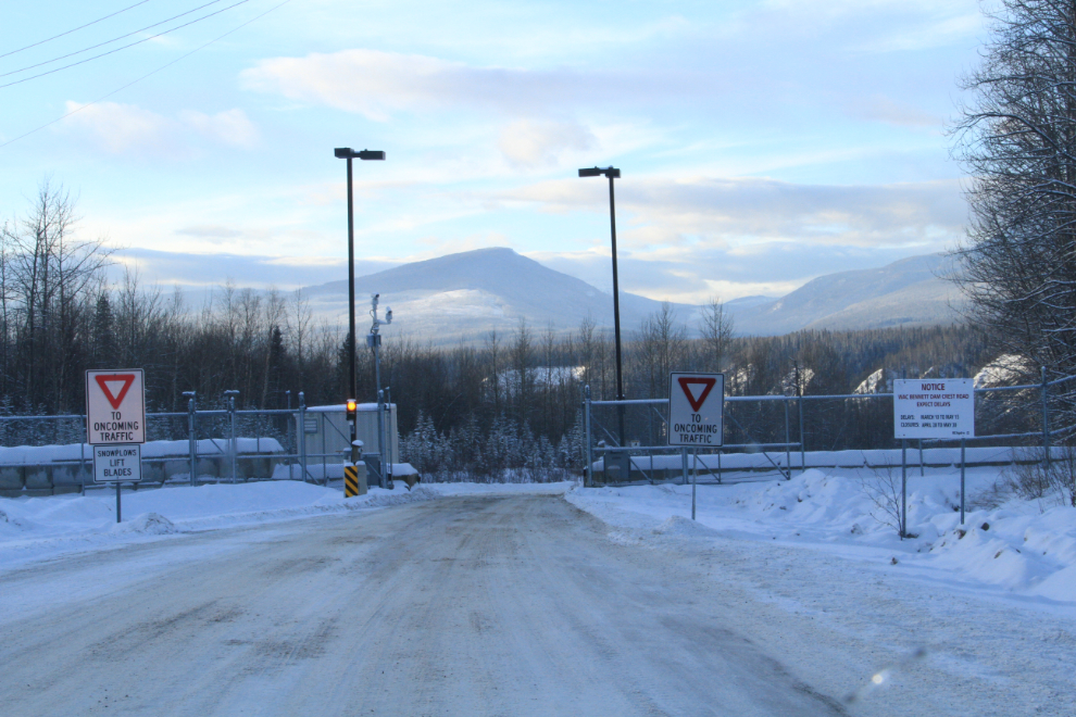
We almost changed our minds about making a detour to see the W.A.C. Bennett Dam after seeing that it’s 22 km off the highway, but quickly decided that it would be silly to miss it. The 2 security guards at the gate registered us, and said that the viewpoint hadn’t been plowed but we could still drive across the top of the dam. The Visitor Centre is now closed for the season and is being renovated – it will re-open on May 16, 2015 and then will be open until September 7th.
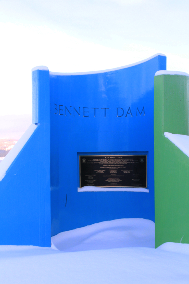
Completed in 1967 after 6 years of construction, W.A.C. Bennett Dam is one of the world’s largest earthfill structures, stretching 2 km (1.25 miles) across the head of the canyon and measuring 183 meters (600 feet) in height. Behind the dam is BC’s largest reservoir, Williston Lake, which covers an area of 166,000 hectares (410,000 acres).
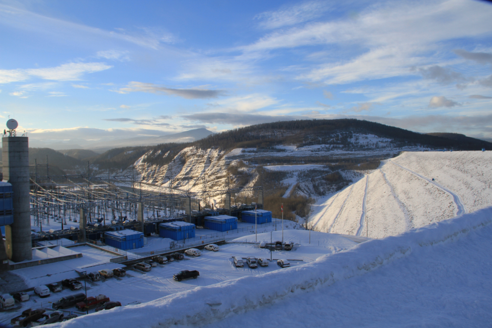
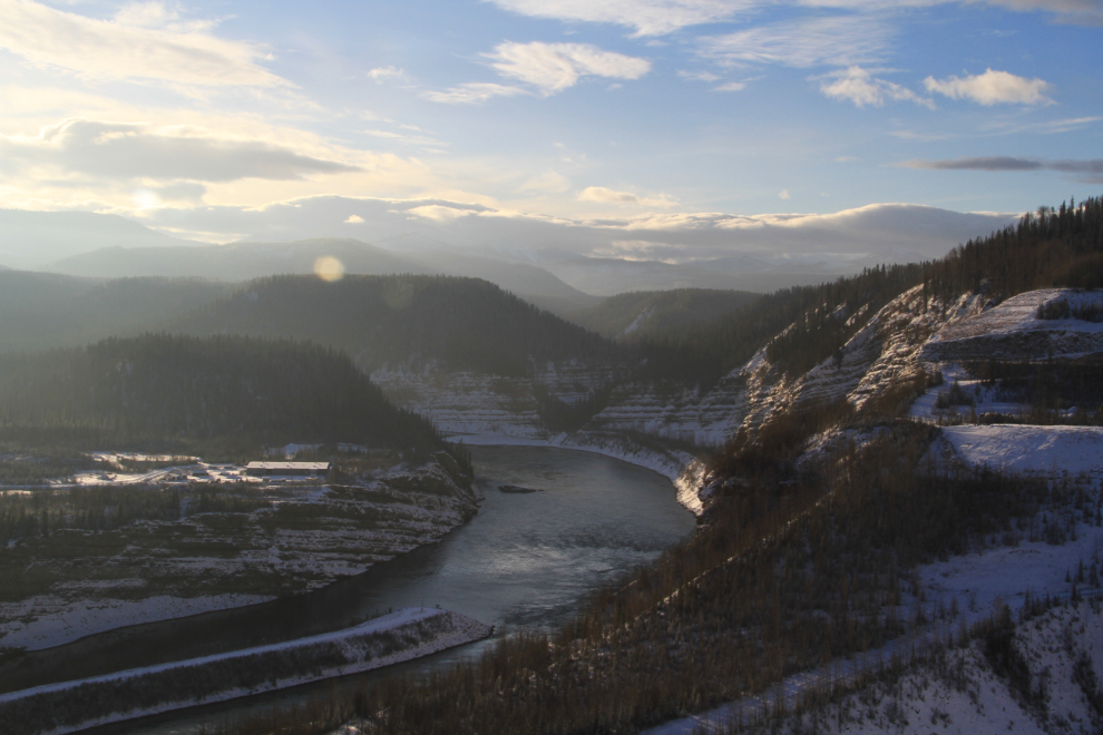
Looking down the Peace River from the centre of the dam.
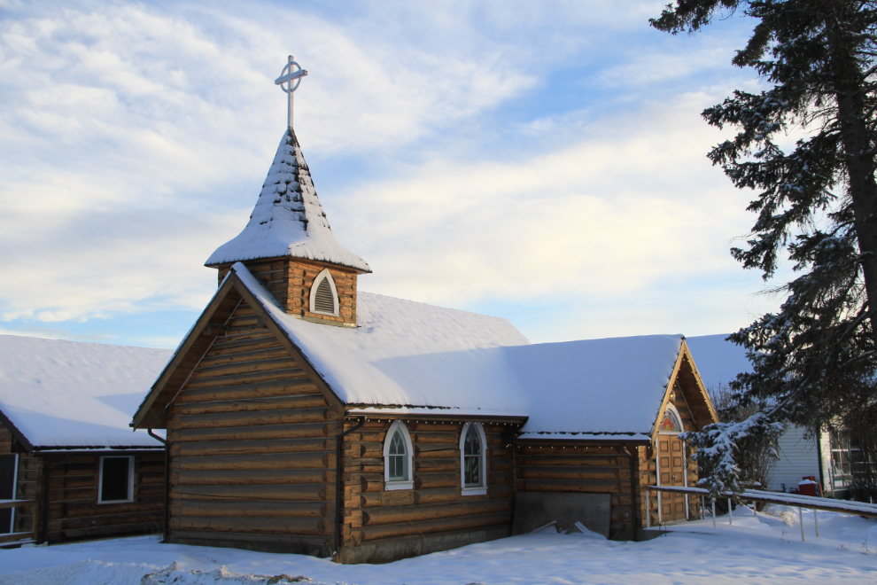
Back in Hudson’s Hope. St. Peter’s Anglican Church overlooks the Peace River beside the Hudson’s Hope museum. Although the “Open” sign was lit in the museum window, we had a very long road ahead of us yet.
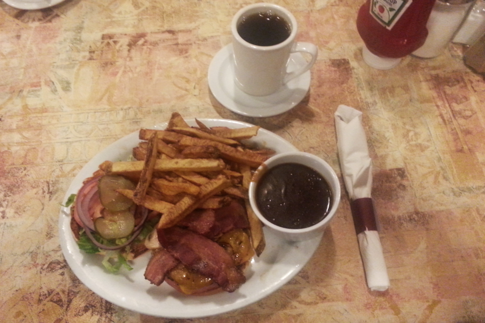
We stopped at the Sportsman Inn for a late lunch, and it turned out to be a very good choice. That’s an impressive burger for $9.95 including fries.
At 3:00, with the light rapidly fading, we were back on the road.
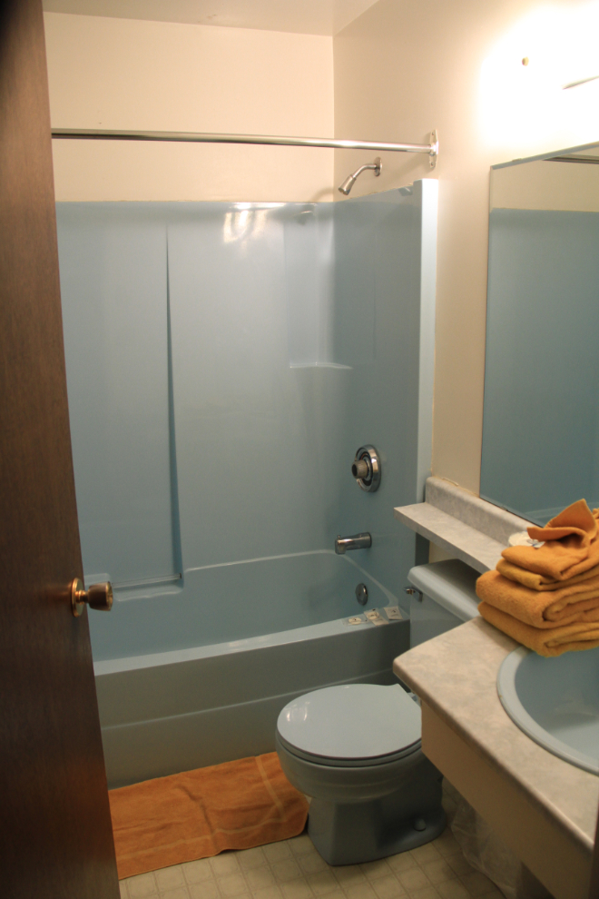
There was a bit of freezing rain and lots of ice on the road, so we didn’t reach Quesnel until almost 9:00, over an hour later than I’d planned. I couldn’t remember the name of the motel that I stayed in last time through and was pleased with, but Google Maps identified it as the Sylvan Motel, so that’s who Bobbie phoned and made a reservation with. That turned out to be wrong, and although the bathroom colours were a bit shocking and the towel bar had fallen off the wall and never been replaced, the Sylvan was okay for $70.
It had been a very long day (the mileage was 976 km, 606 miles), and we were in bed almost immediately. The forecast for the morning, with fog and freezing temperatures, indicated another slow drive for a few hours as we continued south towards Vancouver.