Creating an “Explore Dawson Creek” driving route
It’s been a busy couple of days in Dawson Creek, and I could easily stay another day. But, Tumbler Ridge beckons, so we’ll be on the road this morning.
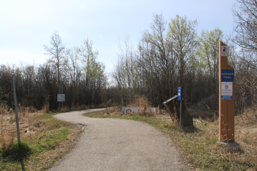
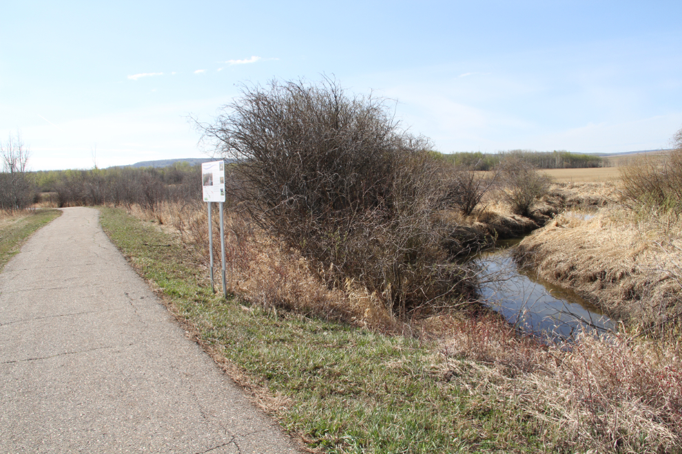
I mainly want to tell you about the driving route that I created after noticing that there are none for Dawson Creek among the 64 driving routes that Destination BC promotes. But first, there’s a wonderful walking trail that runs 4.5 kilometers through the wetlands along Dawson Creek. We only walked about 1/4 of it due to the very warm temperature and a shortage of time. The north access that we used is behind the Peace River Regional District offices. After about half a km on a road, the trail entrance is marked.
We didn’t meet any other people during the hour or so we spent walking, but apparently the southern sections of the trail get more use.
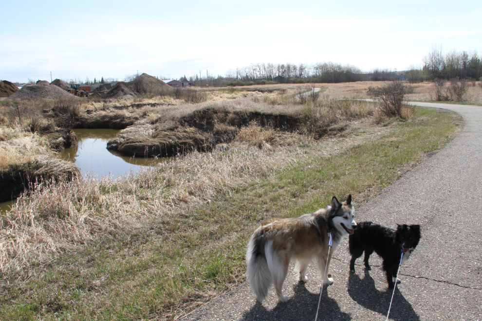
Bella and Tucker thoroughly enjoyed the outing – lots of new sniffs for them to check out, ad they’ve figured out how to have a good tussle while on the extended leashes.
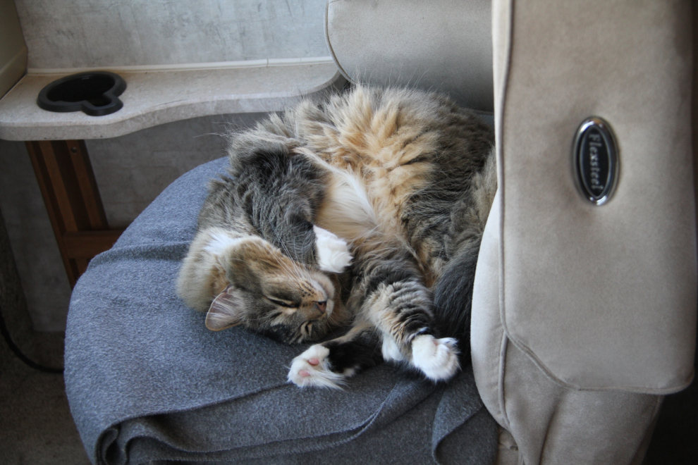
While Bella and Tucker were our exploring with me, Molly was on guard-cat duty, keeping a close eye out for intruders 🙂
I left the kids in the RV for a nap while I went downtown to join a friend for lunch. Joyce suggest the Alcan Smokehouse, and it was perfect – unique, with excellent and all locally-sourced meals, and great service.
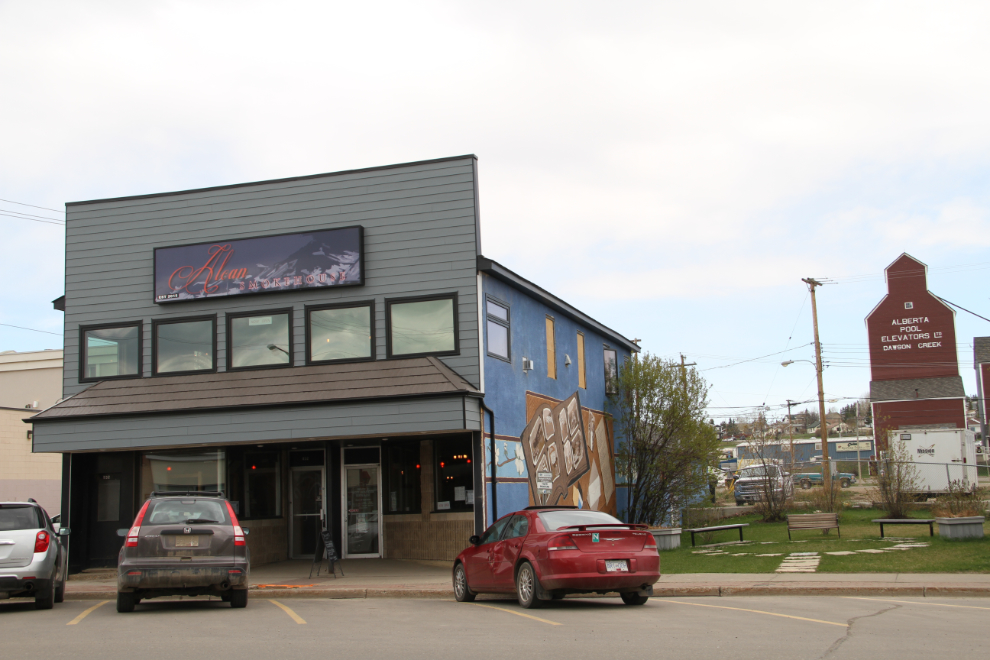
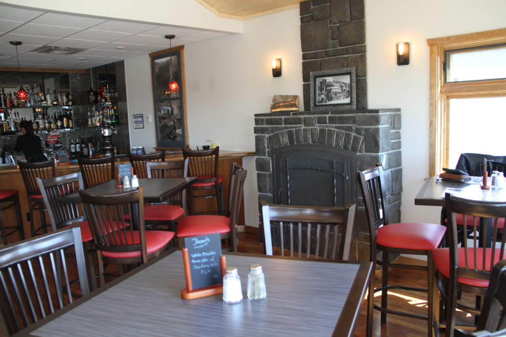
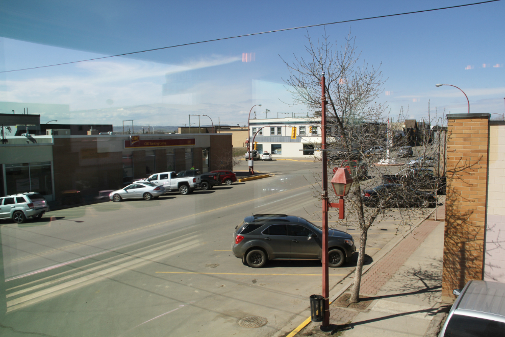
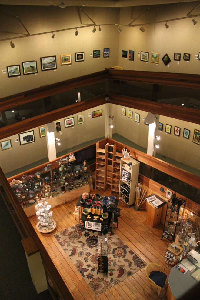
There are 2 floors in the renovated heritage building , and Joyce asked for a table upstairs. It’s smaller and has more character as well as a good view.
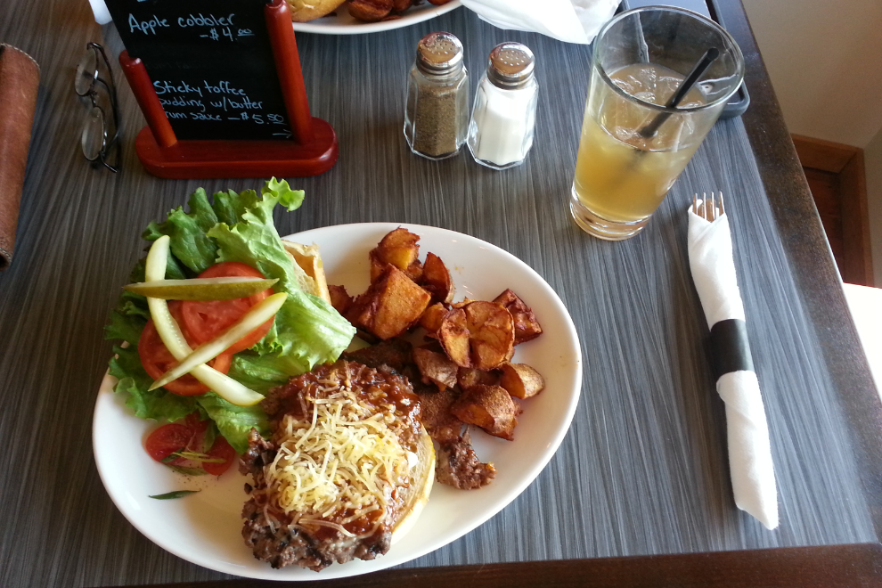
Joyce had their “Alcan Meatless Burger”, which is smoked portabello mushroom topped with mozza and other good stuff, while I went for the Bison Burger: “Locally-sourced and house-seasoned bison patty, grilled and topped with smoked gouda, garlic aioli, pickles, lettuce, and tomato. Served on a potato scallion bun”, and added “blasted potatoes”. It was wonderful! Truly a unique taste unlike any other burger I’ve had.
Now to the driving route, the need for which got confirmed during lunch. This is an all-day trip – 186 km long, covering much of the Dawson Creek region, with a wide variety of natural and historic attractions that could easily make it even more than one day. The odometer reading is followed by the directions or attractions at that point.
Km 0.0: Alaska Highway Mile 0, Visitor Information Centre, Art Gallery, Northern Alberta Railway Museum. This spot could keep you busy for a while.
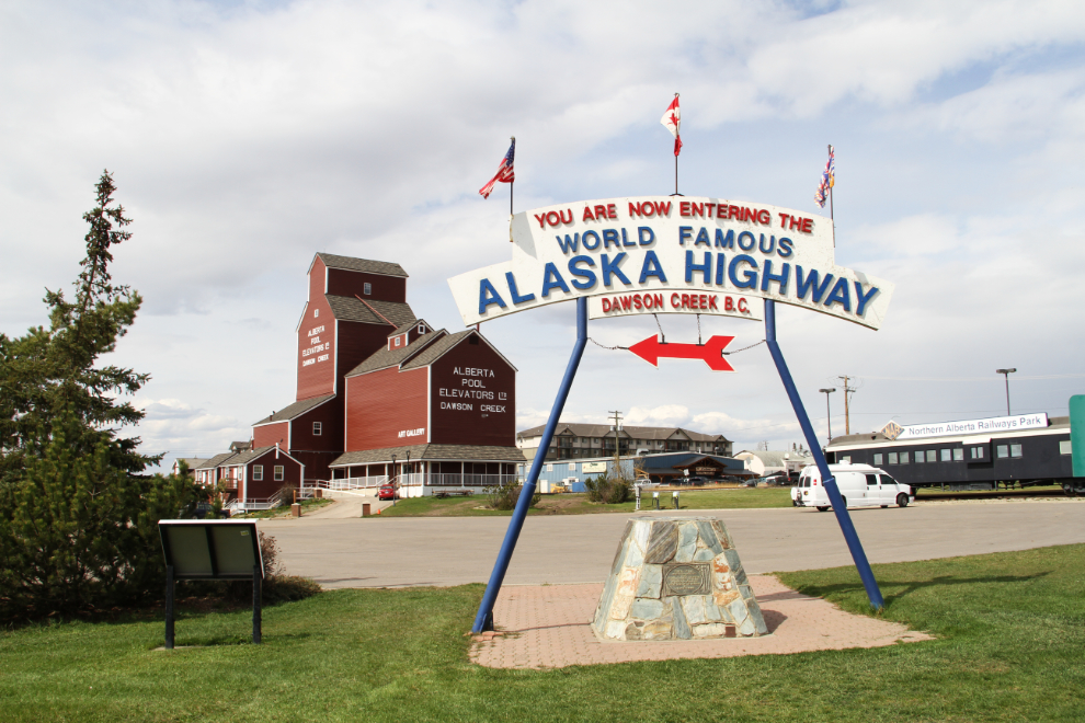
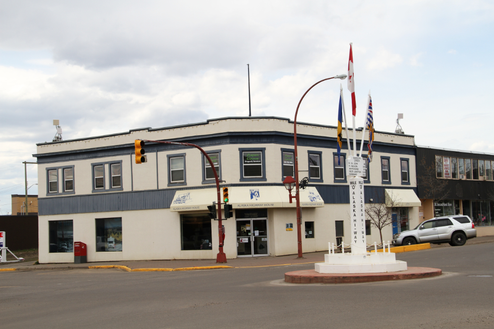
Km 0.3: The downtown Alaska Highway Mile 0 post, and Alaska Highway House, where you can learn about the highway’s history, and can pick up a historic walking tour brochure.
Km 0.8: City hall and a historic church.
Km 2.8: Walter Wright Pioneer Village, and access to the Dawson Trail.
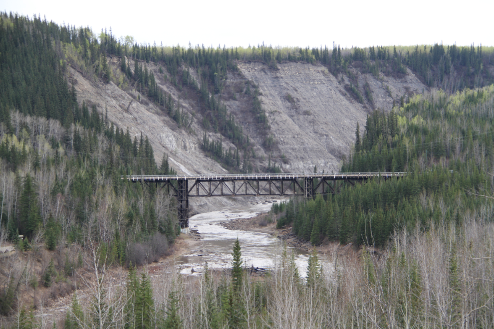
Km 33.8: Old Kiskatinaw Bridge – the right turn off the new Alaska Highway onto the old highway is at Km 28.9. This curved wooden bridge, still in use, is the most famous artifact from the original highway.
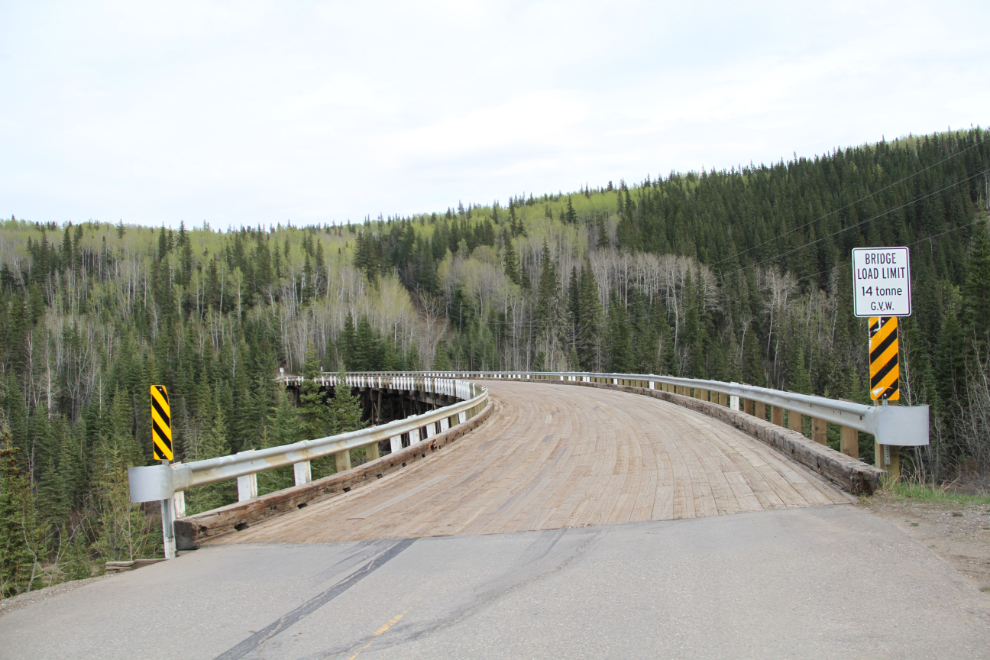
Km 34.2: Old Kiskatinaw Bridge interpretive signs.
Km 34.7: Large pullout with a great view of the bridge and valley.
Km 39.0: Turn left to rejoin the new Alaska Highway.
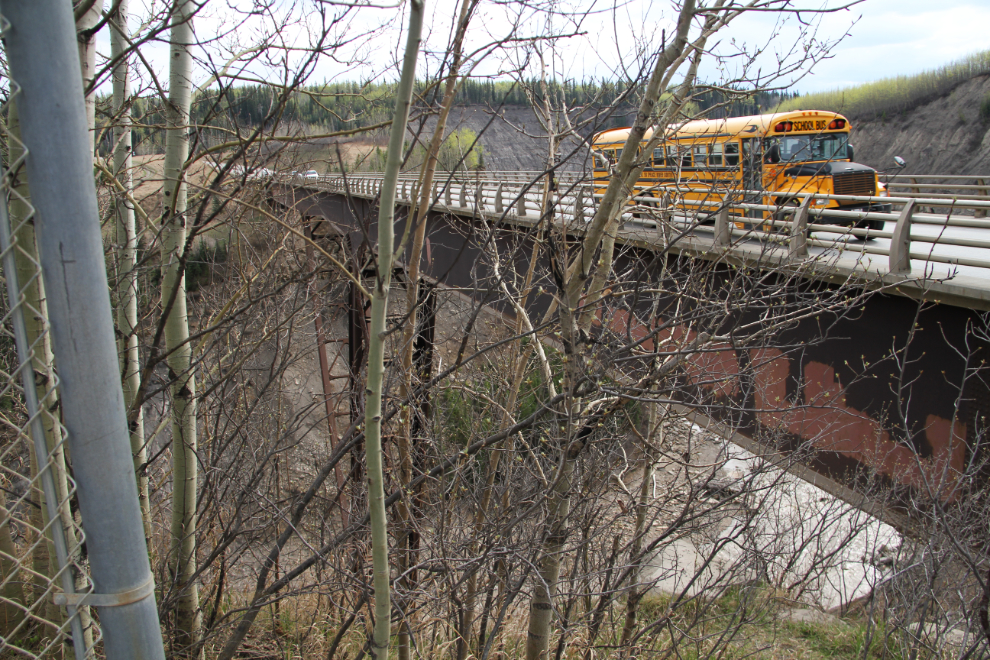
Km 41.5: New Kiskatinaw Bridge, opened in 1978. A rest area with outhouses gives limited viewing due to a screen of trees.
Km 53.5: Turn right onto Road 237M, Mason Road. This is a little-known shortcut between the Hart and Alaska Highways.
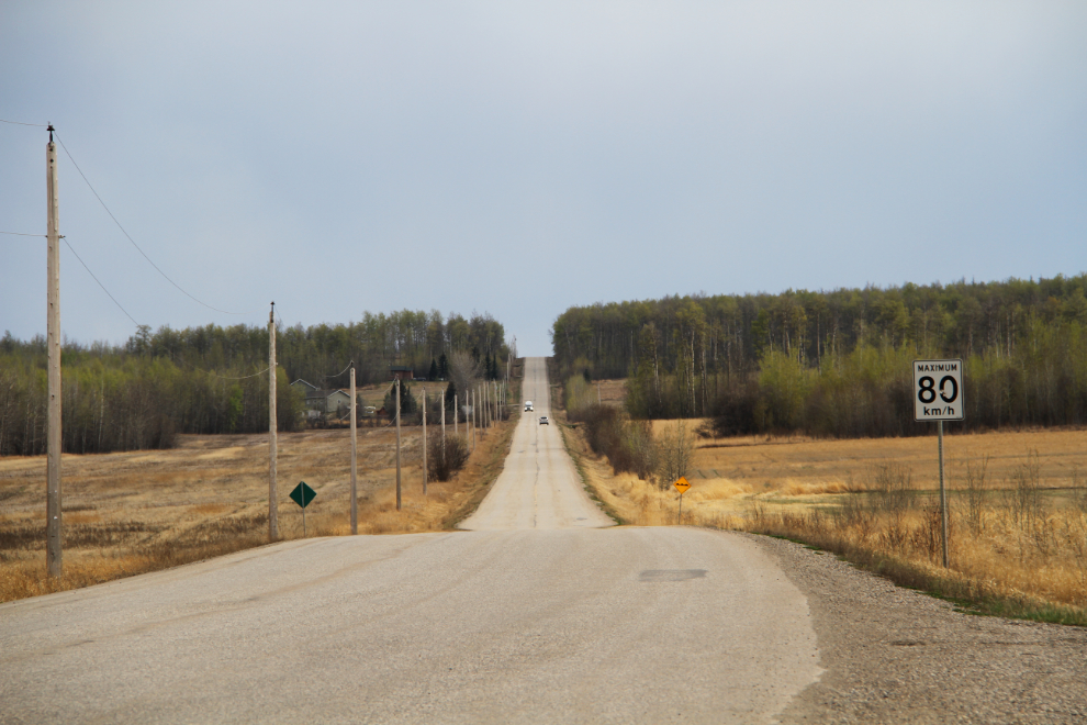
Km 68.7: Turn lef onto Highway 97N, the Hart Highway (Highway 97 is the longest numbered highway in BC, and various sections have different names – the BC section of the Alaska Highway is also 97).
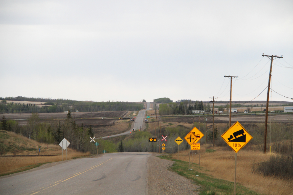
Km 82.3: Turn right onto the Dangerous Goods truck route, following the sign pointing to Pouce Coupe.
Km 85.7: Turn right onto Adams Road.
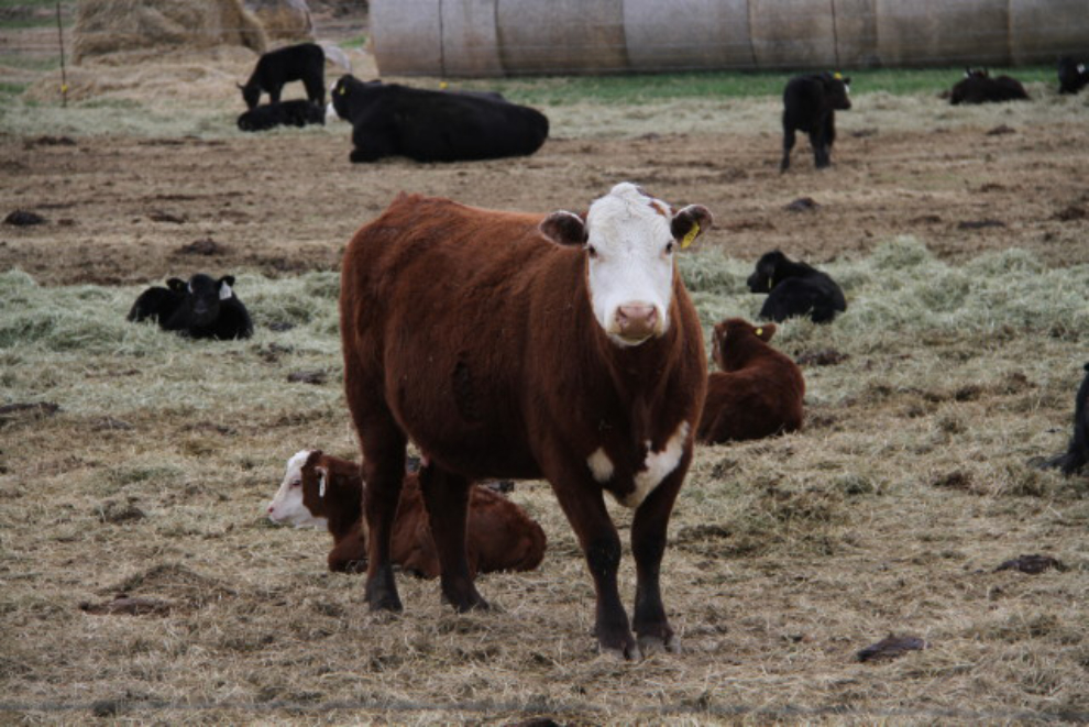
Km 87.4: Turn left onto 223 Avenue, where I found a field full of cows and lots of brand-new calves.
Km 90.0: gravel road begins.
Km 93.5: Bear Mountain nordic ski trails.
Km 98.3: Take a sharp right to enter Bear Mountain Wind Park.
Km 100.5: Turbine #34 and the start of the ridge road. A trail also runs along the ridge, with excellent access at many points, but at Turbine #10 in particular.
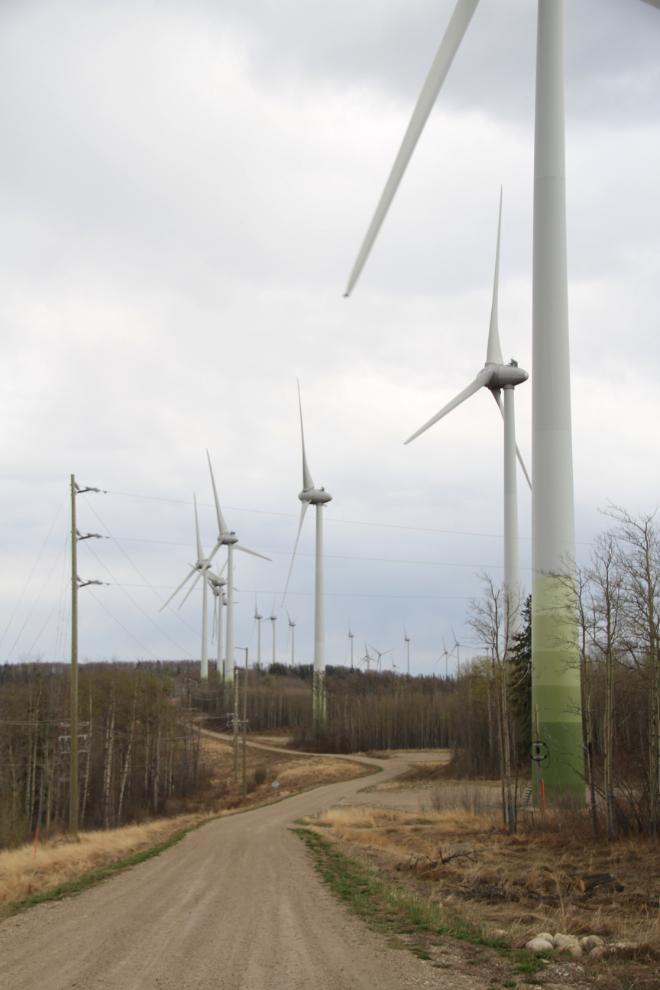
Km 107.2: Turbine #1 – enjoy the views, then make a U-turn and retrace your route back to the Dangerous Goods truck route.
Km 128.8: Turn right onto the Dangerous Goods truck route.
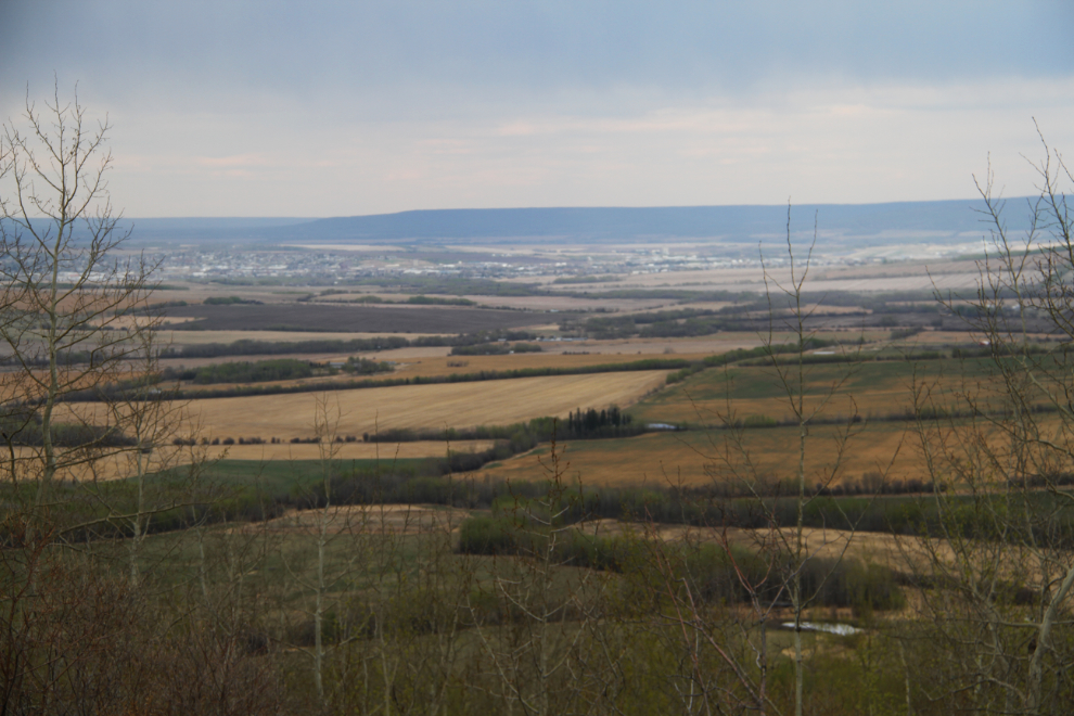
Km 132.2: Turn right onto Highway 2, towards Pouce Coupe. The Dawson Creek airport will be on your left halfway to “Pouce”.
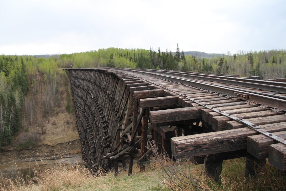
Km 139.6: Turn right onto the mostly-gravel truck route just before the railways tracks as you enter Pouce Coupe.
Km 140.9: Park on the shoulder (this spot isn’t very vehicle-friendly), and walk about 200 meters/yards to a massive, long-abandoned railway trestle.
Km 144.7: From the trestle, retrace your route back to and along Highway 2, then turn right onto Rolla Road, which begins with a steep, winding drop into and climb back out of a large ravine.
Km 146.3: Cross over Highway 49.
Km 151.3: Turn left for McQueen Slough.
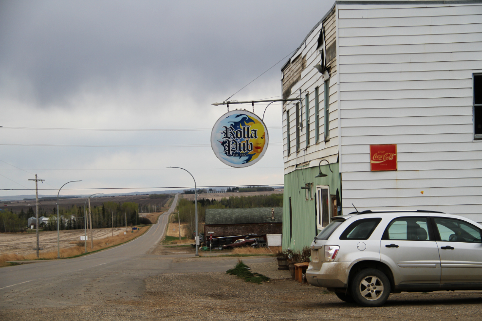
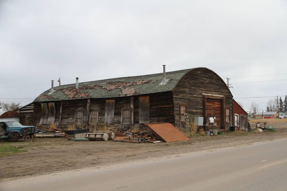
Km 163.3: The tiny community of Rolla, with the Rolla Pub and a large and particularly photogenic old garage.
Km 180.7: U-turn and retrace your route back to Highway 49, where you turn right.
Km 186.1: Back to your starting point, at Alaska Highway Mile 0.