Driving the road to Tuktoyaktuk in April
On Monday, April 8th, Tyson and I drove from Inuvik to Tuktoyaktuk and back, with a lot of exploring and some visiting in Tuk. Here’s another orientation map – during a 3-day period, we would visit all five of the communities shown on the government road conditions map. The yellow colour indicates a road advisory.
I mentioned in the last post that the initial plan had been to drive the ice road to Aklavik on Monday but when I checked the weather, Tuktoyaktuk looked a bit better. “Better” is a relative term – when we left Inuvik at 10:25 it was -20°C/-4°F, snowing, and fairly windy. A perfect day for an Arctic road trip, eh? 🙂
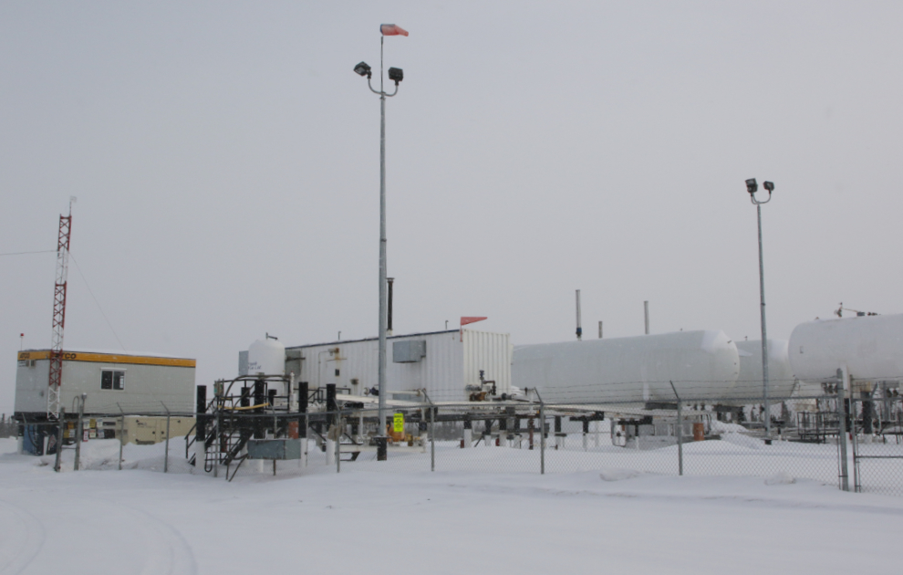
Before leaving the town limits we passed by the natural gas distribution centre – most buildings in Inuvik are plumbed for gas which is trucked up from BC or Alberta. Exploration is currently underway to develop a local source for it – the gas is certainly there, and lots of it.
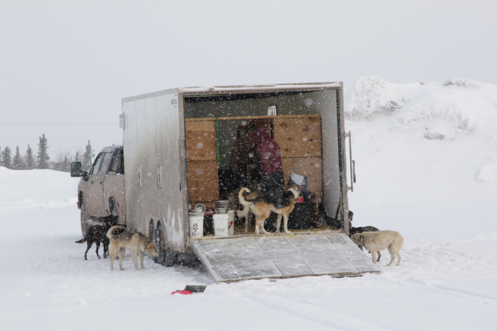
We passed a very nice musher’s truck – perhaps a tour operator, though there was no name on it.
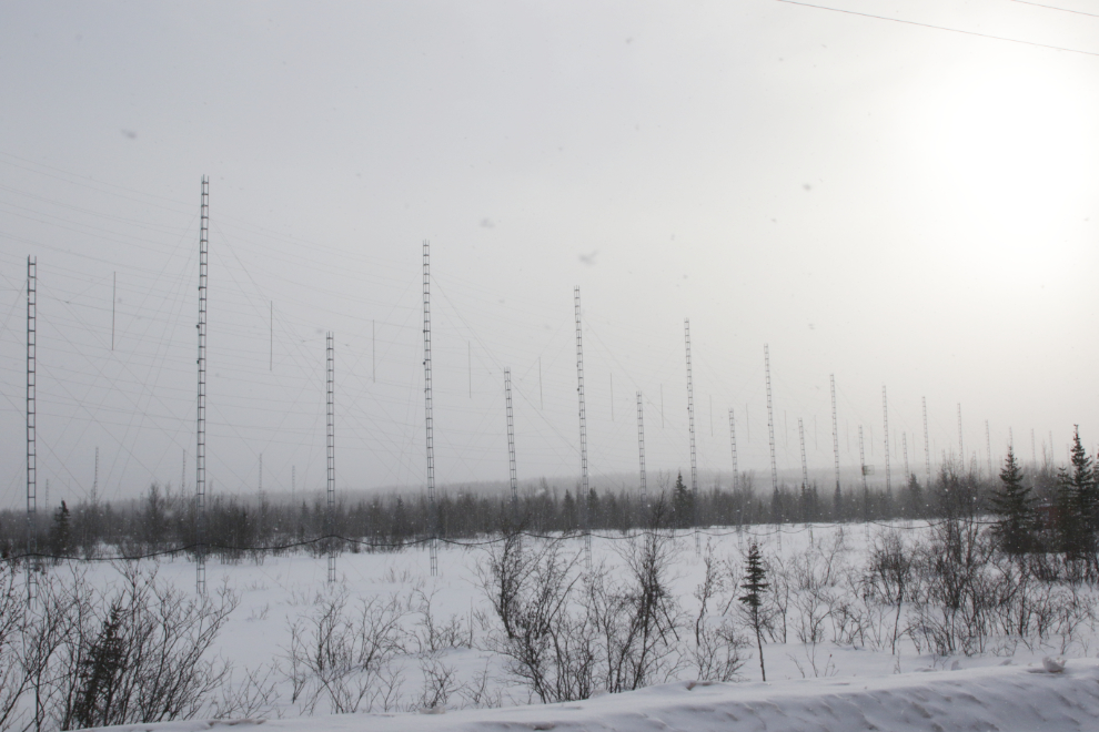
We stopped here for a couple of minutes trying to figure out what this large network of antennae might be for, but it was still a mystery when we pulled away.
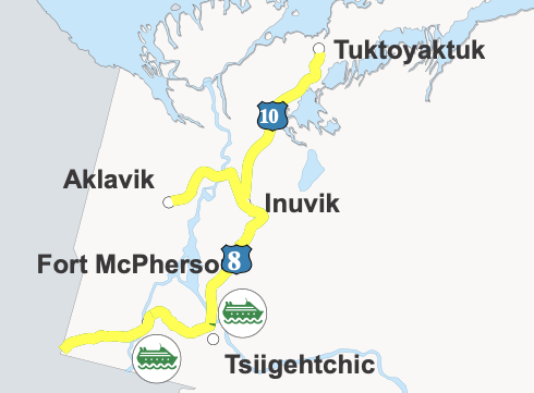
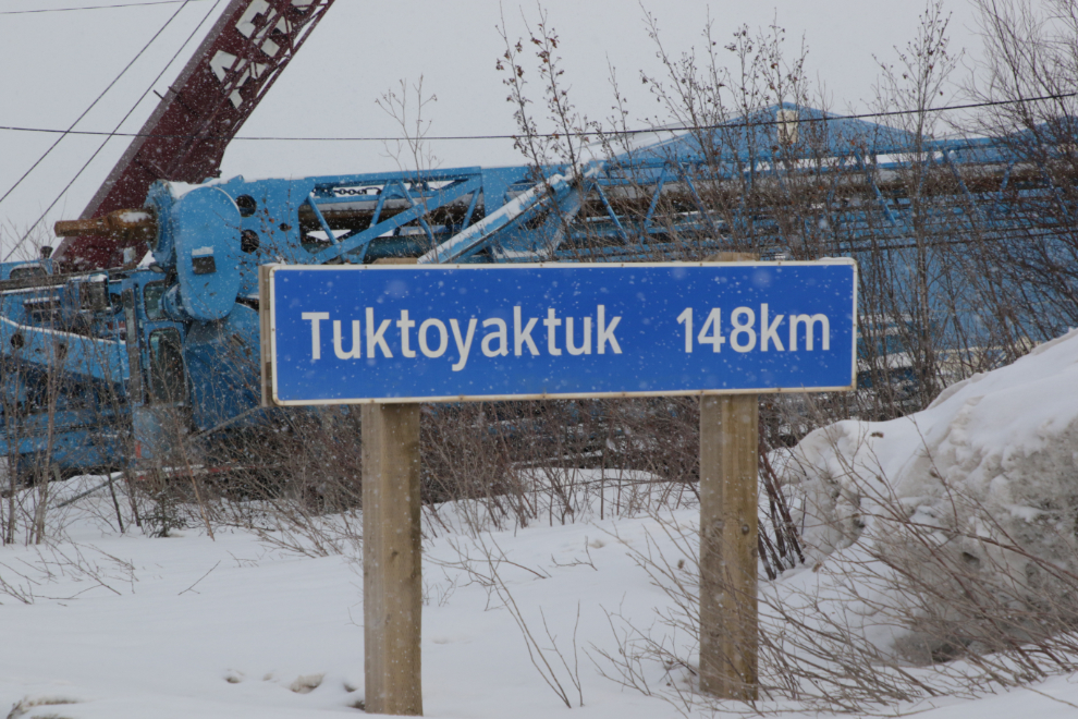
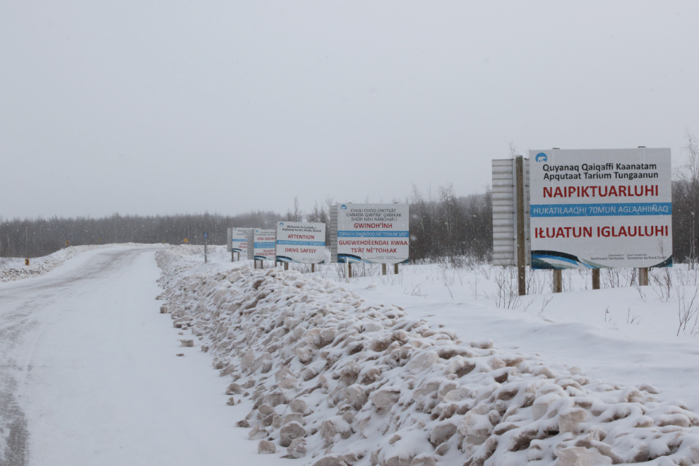
This is the start of the new Inuvik Tuktoyaktuk Highway (ITH). From here, Tuk is 138 km north. The highway was the first in Canada to reach the Arctic Ocean, finally connecting the country “from sea to sea to sea.” After four years of construction, the highway opened on November 15, 2017. Each of the five billboards is in a different language – English, French, Gwich’in, and two Inuvialuktun (western Arctic Inuit) dialects, Uummarmiutun and Sallirmiutun. We reached here at 10:35.
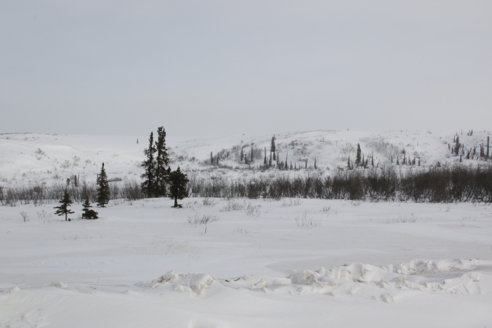
Having flown over this country at fairly low altitude in my Cessna in 1985, I had some idea of what the terrain was like. It’s rolling plain and low hills a few hundred feet above the Mackenzie River, which is to the west. Most of the route is above treeline.
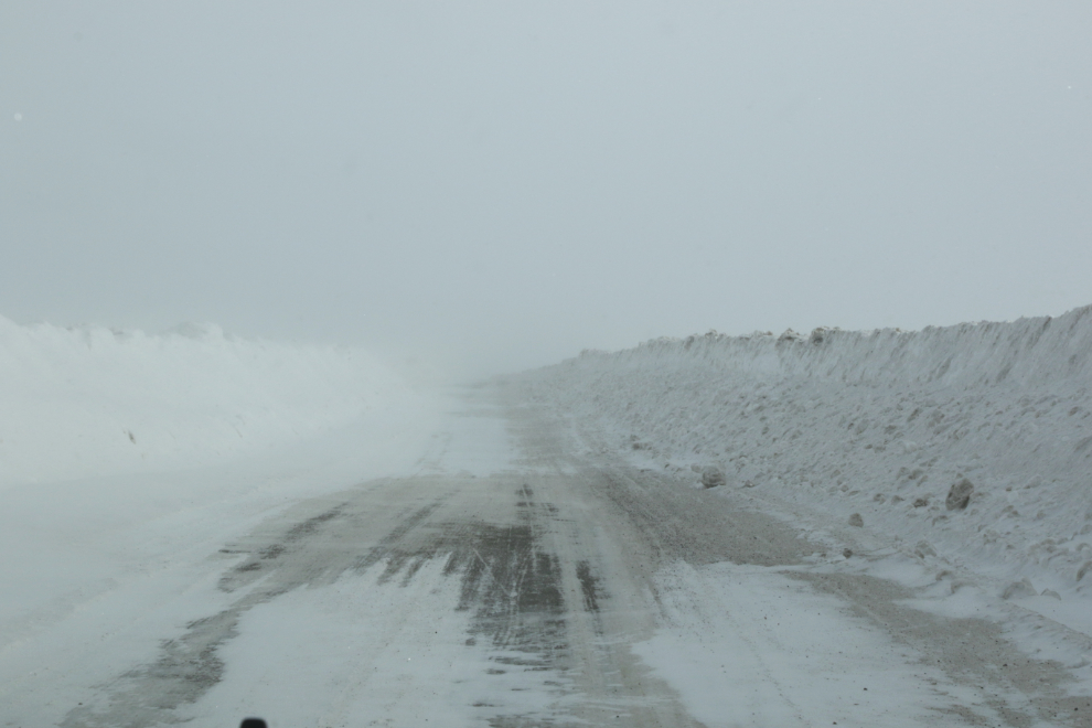
Actual snowfall isn’t a big challenge for road maintenance, but drifting snow certainly is.
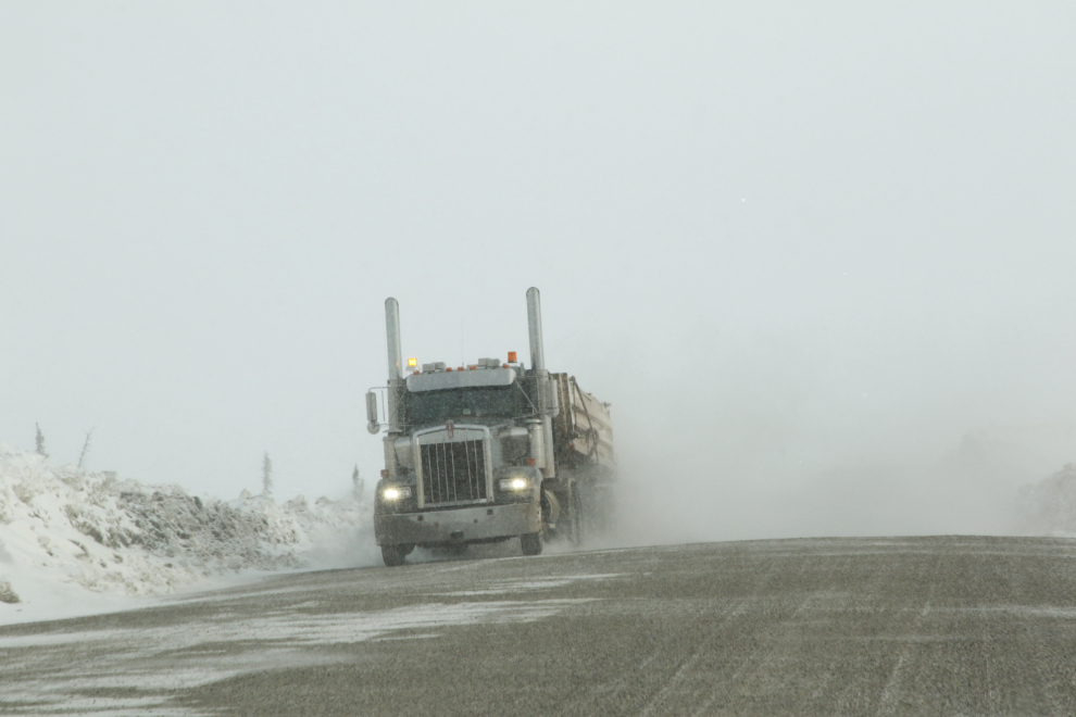
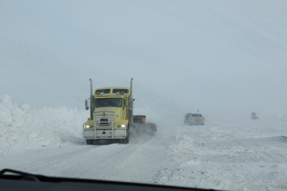
There were quite a few large trucks on the road, that seemed to be empty in both directions. That made no sense, but once we got to Tuk we discovered that they were carrying large boulders for critical erosion control work along the coast right at the community. The trucks were really good about slowing down, but Tyson pulled over as far as possible to try to protect his windshield.
With northwest winds of perhaps 20 km/h, snowdrifts were growing across the road quite quickly.
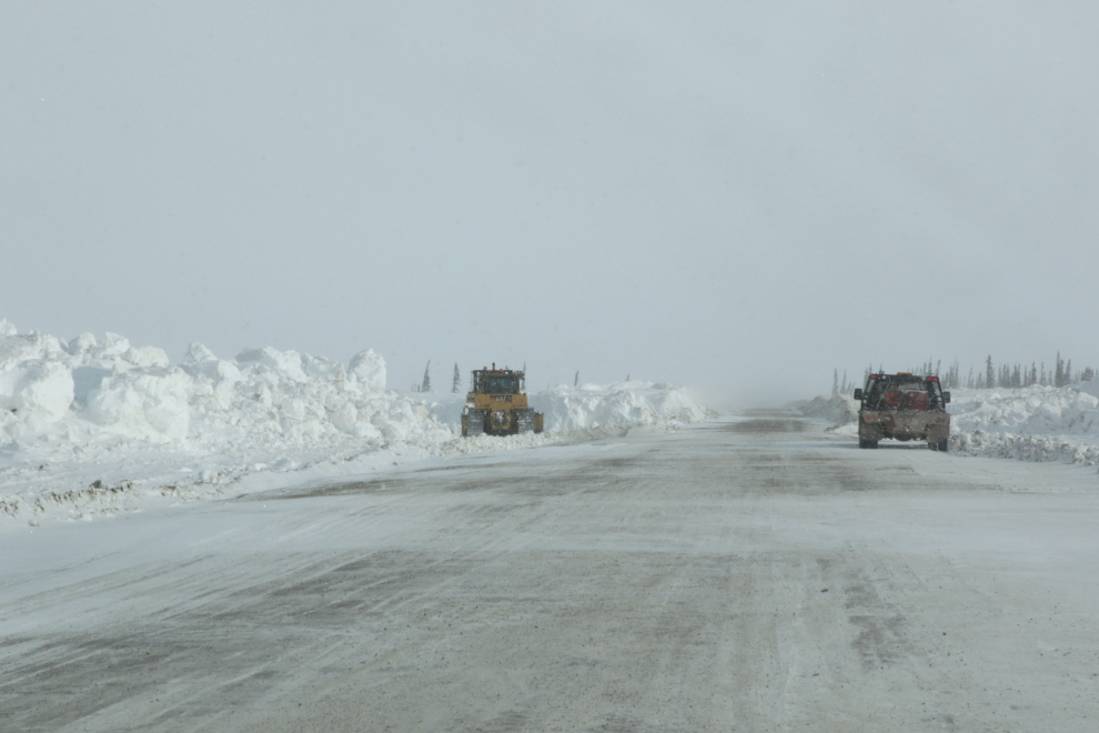
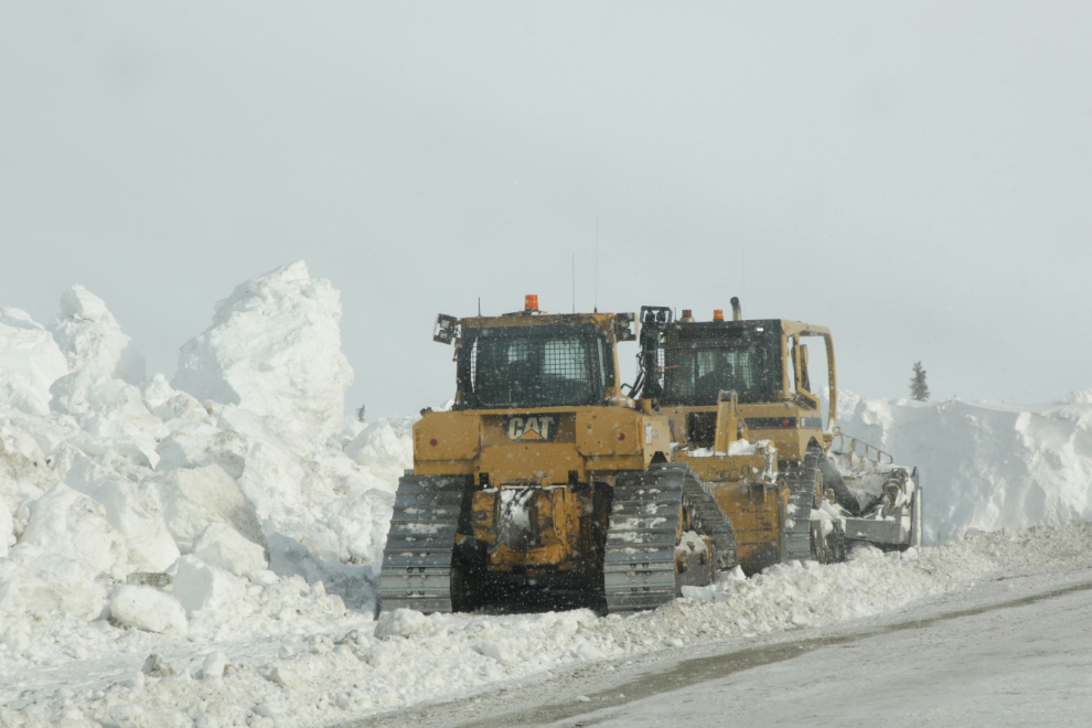
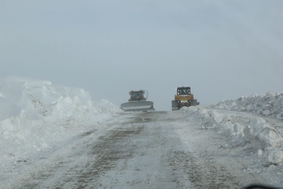
About 40 minutes in, we came to a couple of the big guns keeping the road open – a D-9 and a D-6. They were at an area of particularly deep drifting.
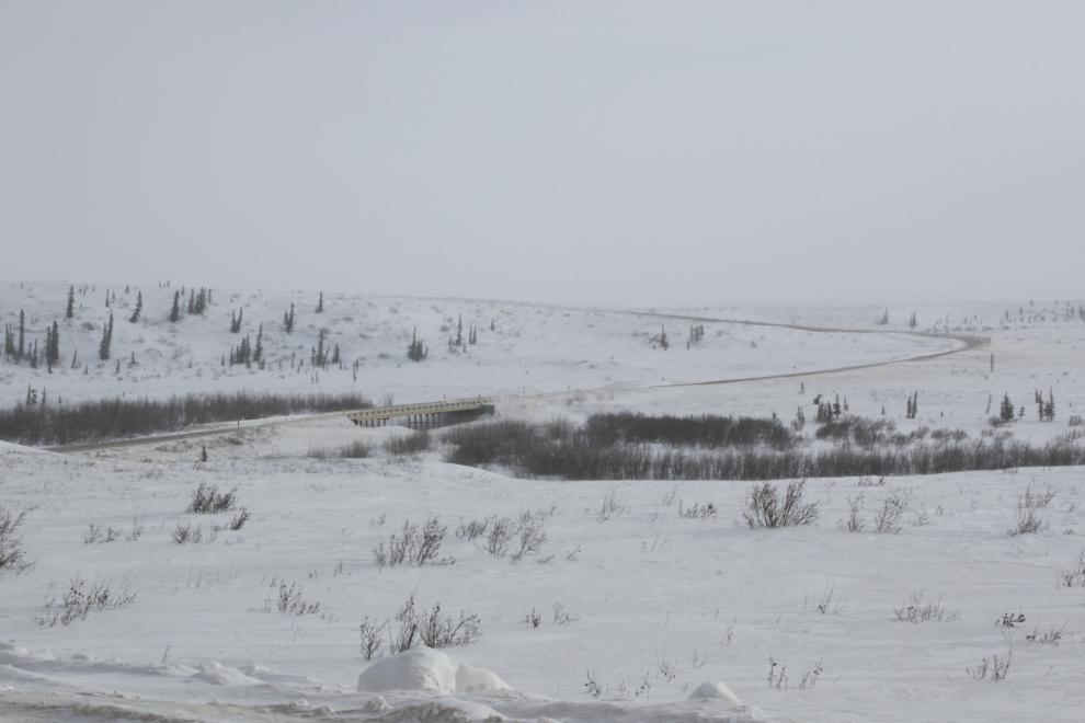
I expect that this creek crossing is an especially beautiful spot with Fall colours.
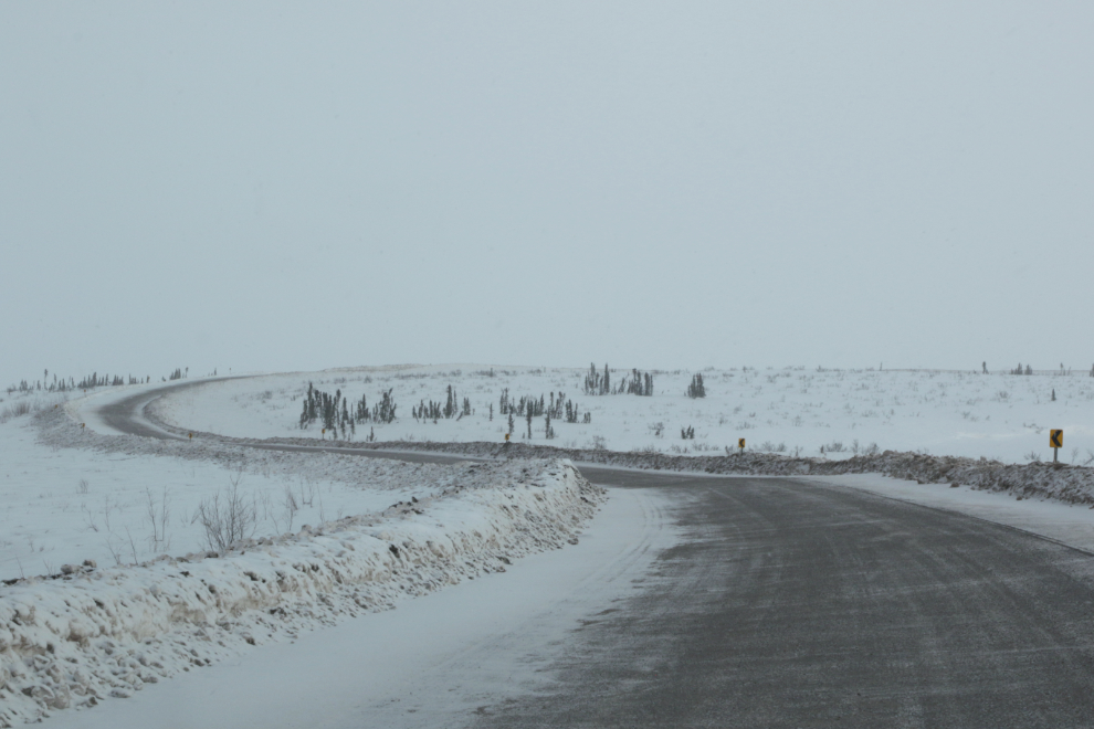
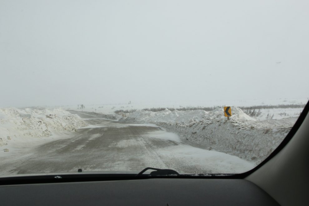
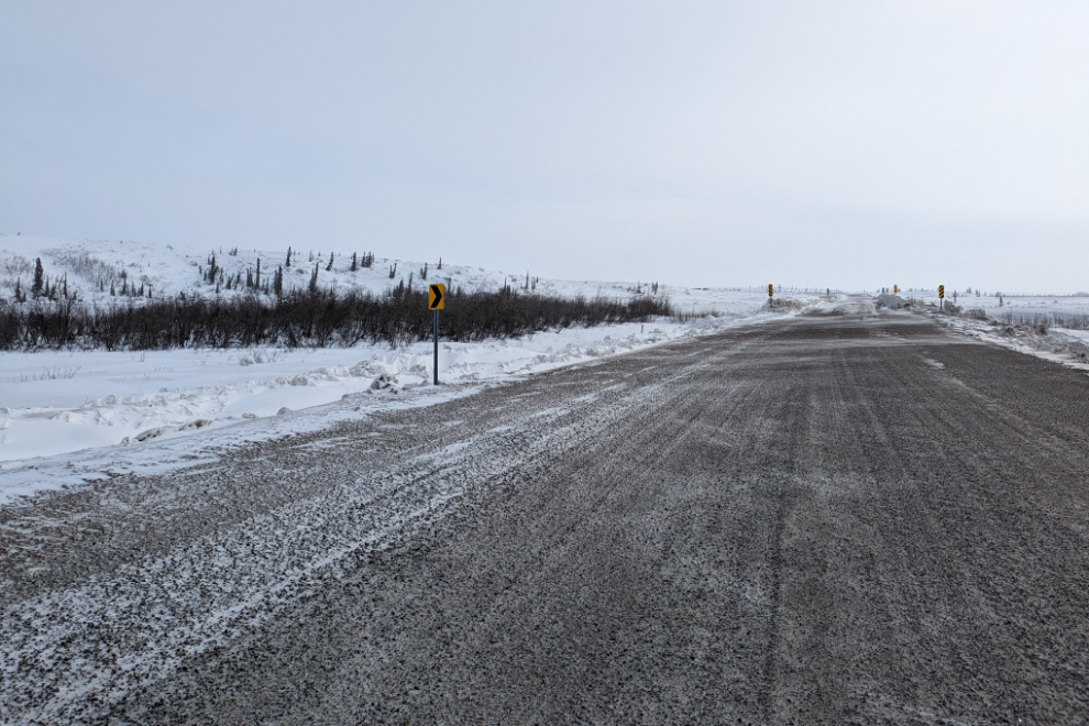
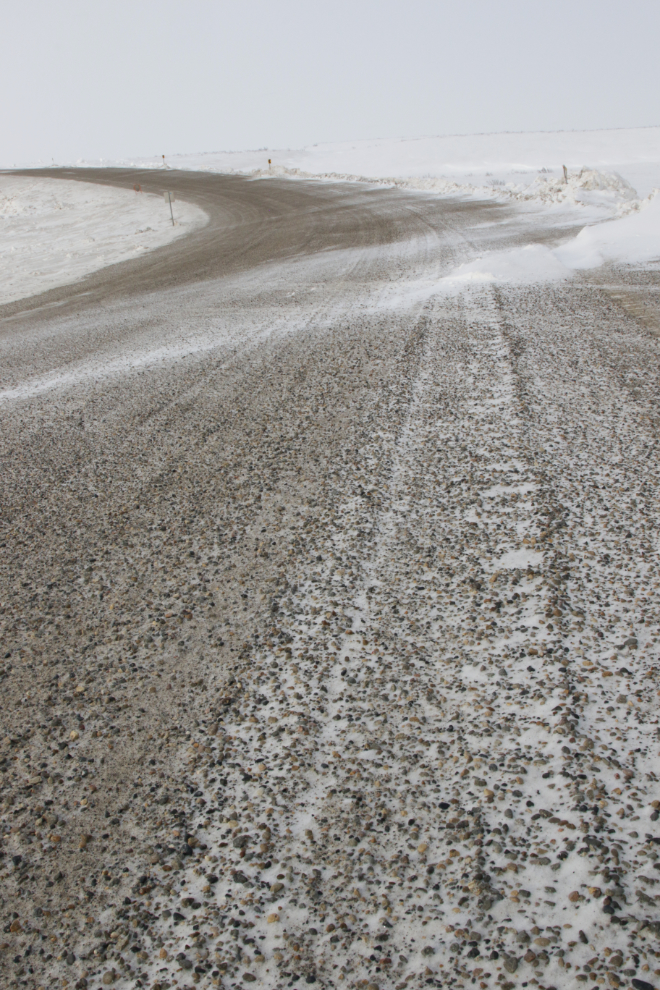
The next two photos are to show you what the road surface is like – it would be hard to find a better surface for great winter traction. And no large rocks to break windshields.
Among the hills, of which these are some of the highest, are countless lakes of all sizes, and along them are many widely-scattered camps and cabins.
There were a few one-lane sections of road due to the drifting, and Murphy’s Laws being what they are, we met a semi at most of them 🙂
There are a lot of people working to keep the road open – about 30, I’d say. The budget must be huge.
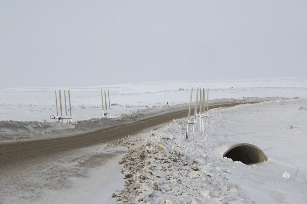
Though I forget exactly how it works, this is a permafrost protection system.
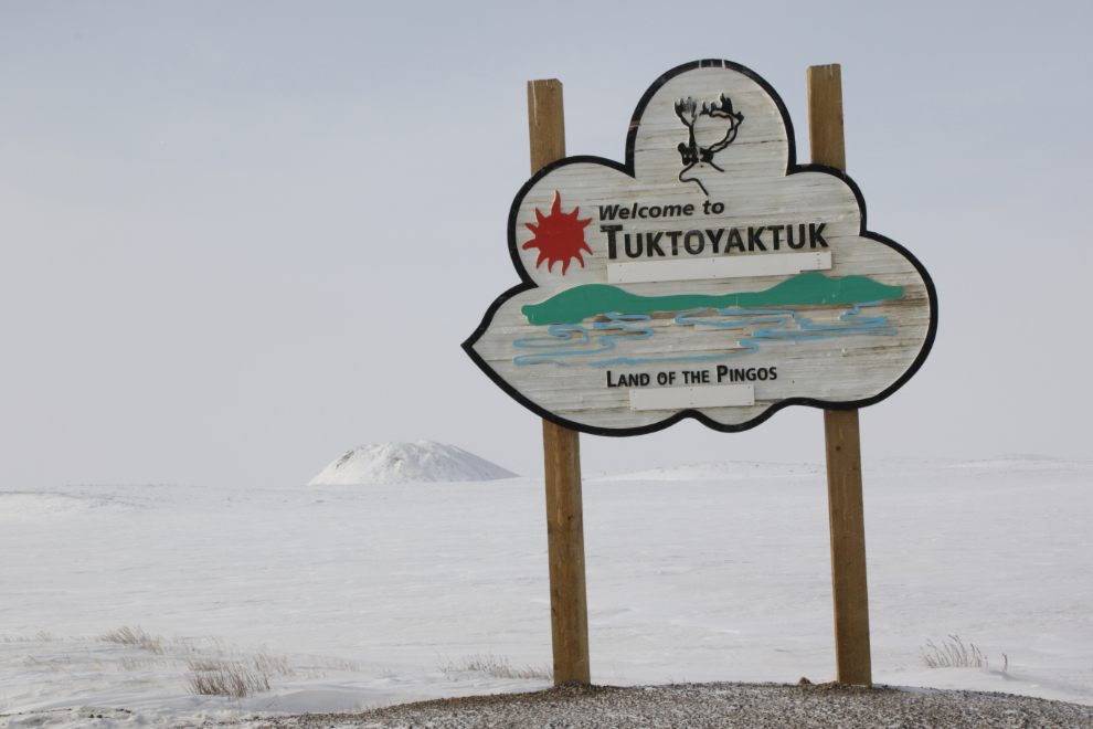
At 1:20 we reached Tuktoyaktuk and the Pingo Canadian Landmark, which features 8 of the 1350 pingos found in the region. That’s a pingo in the background – I’ll let Parks Canada explain them 🙂
In the next post we’ll explore Tuk, and then drive back to Inuvik in very strong winds.
On my list for sure, having the local connection is truly gift. Looking forward to reading and enjoying all the photos in the next posts.
That was quite a trip….I wonder what shape the road is in when it starts thawing out.
It was indeed quite a trip, Neal! Although some amount of mud is unavoidable, that surface looks like it will hold together well at breakup.
Love reading about all your adventures. Stay well.
Amazing as always Murrster, nice roadbed fir sure, no German road adventure seekers, Japanese cyclists, or forest gump types Eh, thanks for pics 🇨🇦👍
Thanks, Paul. There were some surprising tourists, though – two Quebec RVs right in Tuk, a French couple heading up the lower Dempster in a truck/camper, a couple of cyclists somewhere.