Driving the Nass Forest Road from Nisga’a Lava Park to Meziadin Lake Park
On Day 58 of the trip, June 22nd, I took a shortcut to the Stewart-Cassiar Highway on what’s commonly known as the Nass Forest Service Road. When I last drove it about a dozen years ago in the Tracker, it was rough but not unreasonable. This time, it was a really bad route to use with a large RV.
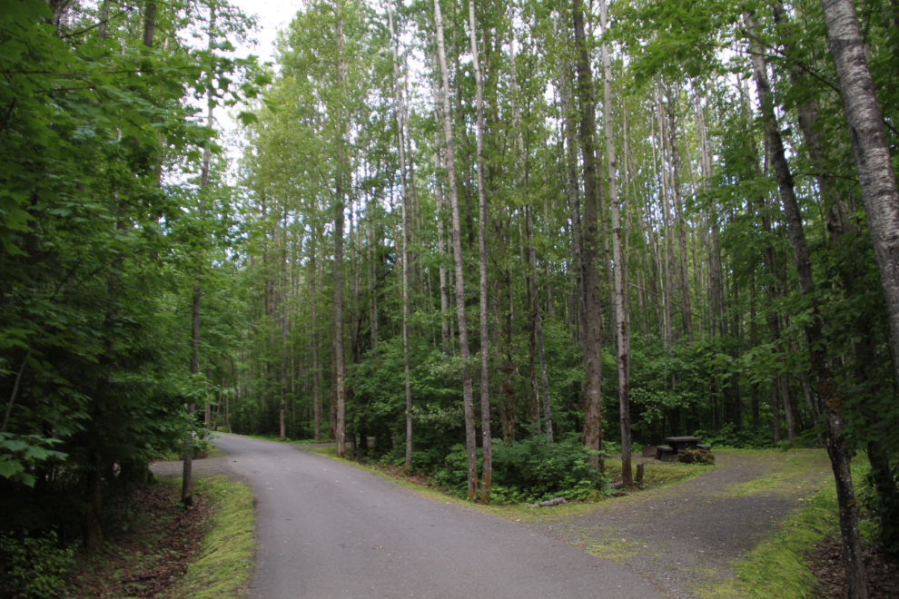
I was stressed out about something that morning, but didn’t know what. As a result, we got off to an early start, without even feeding the kids or having breakfast. At 07:00, I had a last look around the very nice little campground at Nisga’a Memorial Lava Bed Provincial Park, then packed up to go.
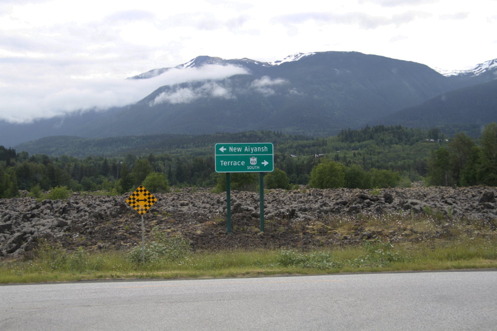
While most of the area highway signs use the new community names, some old signs are still in place. New Aiyansh has returned to the traditional name Gitlaxt’aamiks. At 07:20, we made this left turn in the lava field that fills the valley floor.
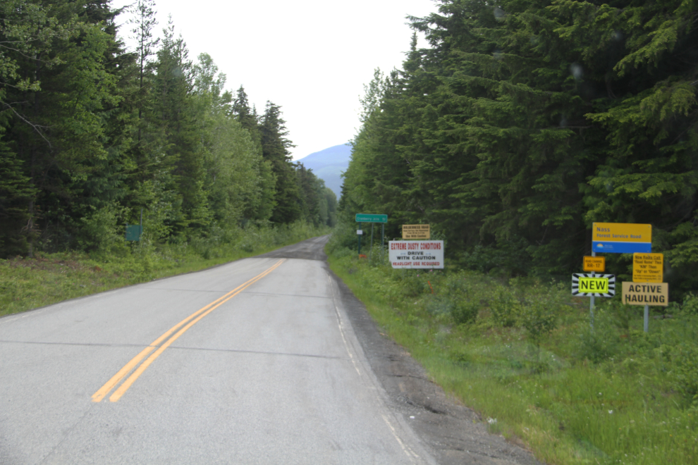
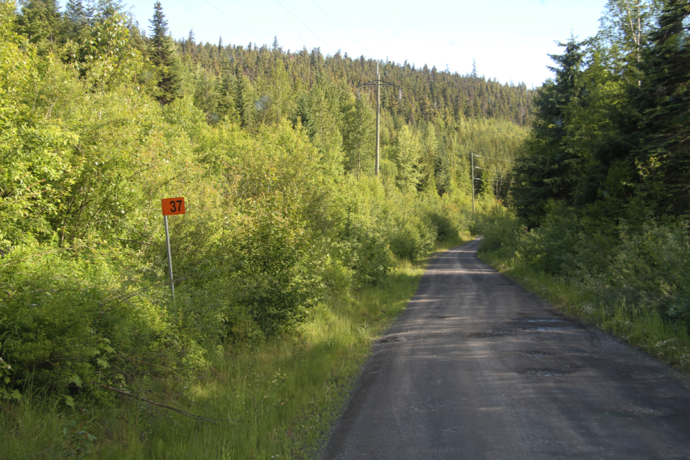
At 07:40, the pavement ended and the road narrowed. One of the many signs said that it’s 51 km to Cranberry Junction on Highway 37 (the Stewart-Cassiar Highway). Others warn that this is a “Wilderness road – road surface not maintained”, and that “extreme dusty conditions” could be encountered.
The road was narrower than I remember it being. That could be a challenge if another large vehicle was met.
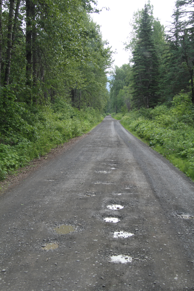
Within a few minutes, the road had gotten extremely rough.
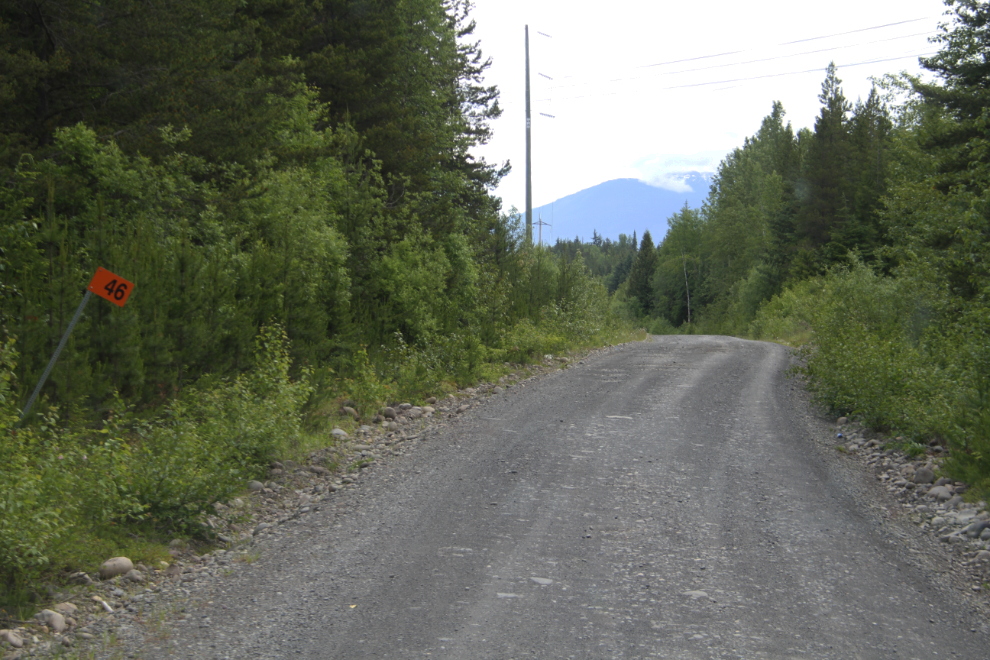
Km 46 – it had taken 15 minutes to travel the first 5 km. By now, I might have turned around if there was any place to do that.
At 08:00, we came to very nice campground, at Gravel Lake. That was a surprise! Especially to see a pickup with a fairly large trailer camped there. By now, 20 minutes in, I was committed to the road, though I could have turned around there.
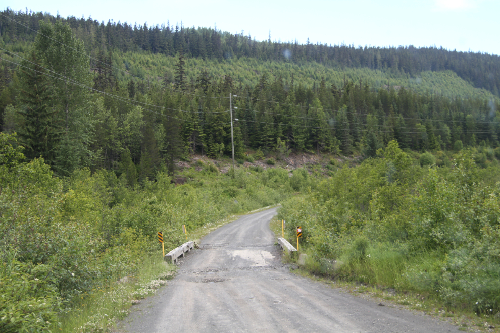
One of the many one-lane bridges, at 08:12.
At 08:30, I pulled over at a wide spot and took a short break to make the kids breakfast.
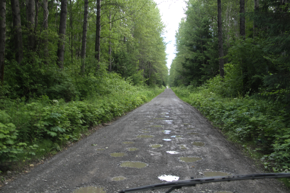
At 09:00, an hour and 20 minutes from the start, we were 14 km along the road. In many places, I could have walked quicker for hundreds of yards. A couple of times, the potholes were placed in ways that got the motorhome rocking from side to side so badly that I had to stop and wait for the rocking to stop before continuing.
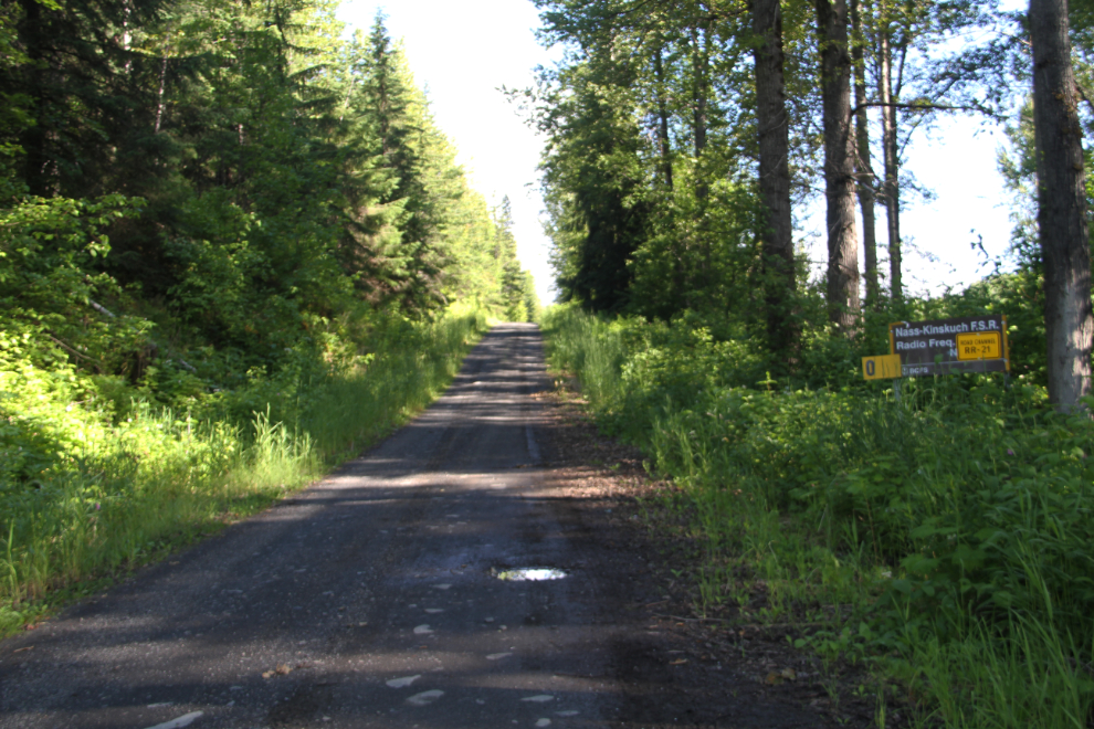
At 09:20, we reached the junction with the road to Kitsault (to the left), called the Nass-Kinskutch Forest Service Road. That had been an hour and 50 minutes to go 19 km (take about 15 minutes off that for our breakfast break).
With a major mine having been there, and the Avanti Kitsault Mine now operating, I thought that it would be a much better road than this.
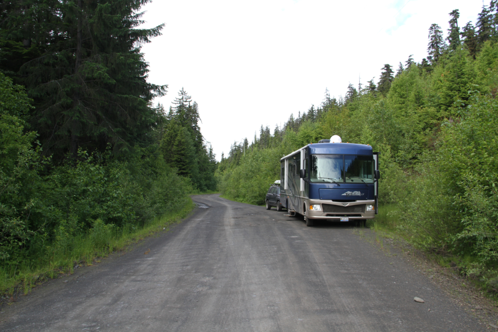
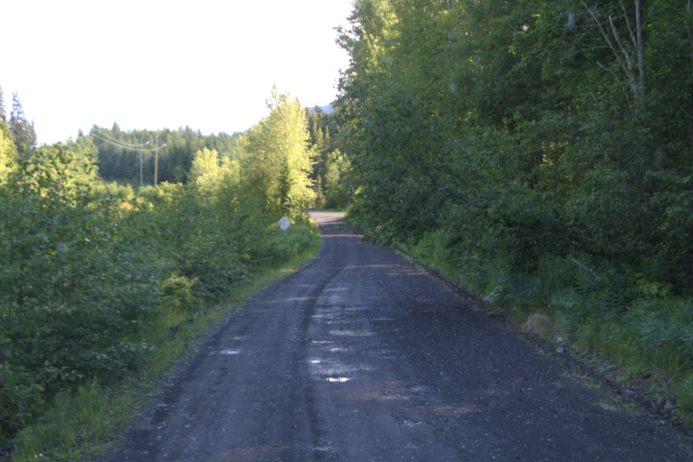
The road improved greatly past the Kitsault junction. While far from being a good road, it was a perfectly reasonable Forest Service Road. It’s hard to see in this photo, but the tire tracks going far to the left was a vehicle going around a tree leaning across much of the road. It was a tight fit for me.
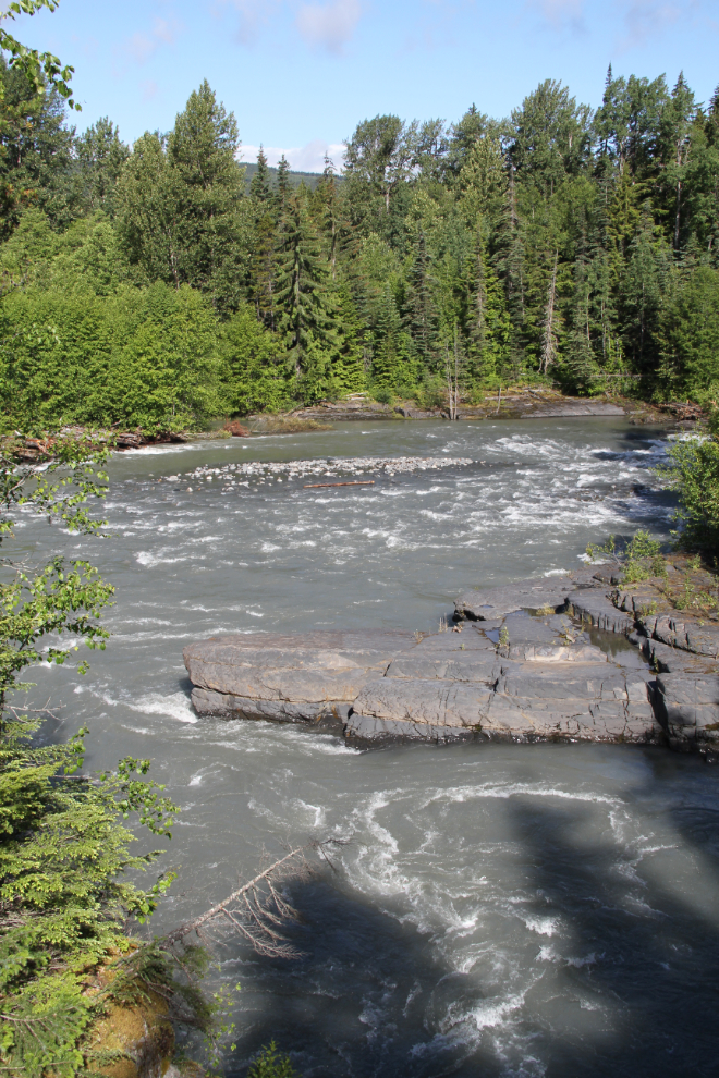
The Nass River, from a bridge over a tributary creek that we crossed at 09:40. Now we were making good time! 🙂
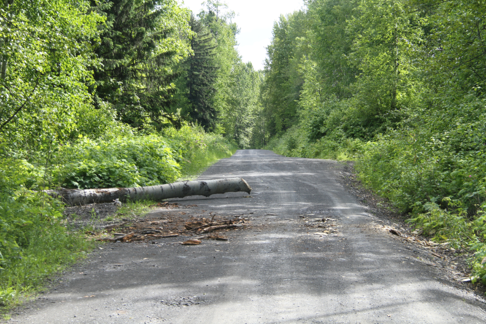
You could see from the marks and chips that some traveller in the recent past had used a hatchet (not an axe) to cut off enough of this tree to get around it.
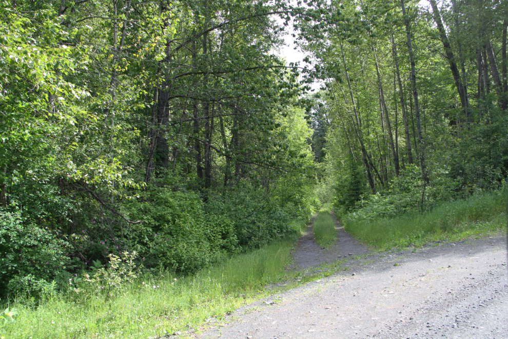
At 10:25, “Betty” (the GPS) told me that I needed to turn left off “Highway 113” onto an “unpaved road.” How odd.
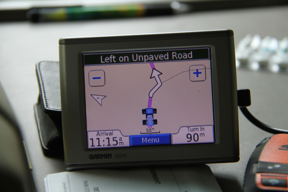
This was the “unpaved road.” Nice try, Betty – I’d had all the shortcuts I needed for one day! 🙂
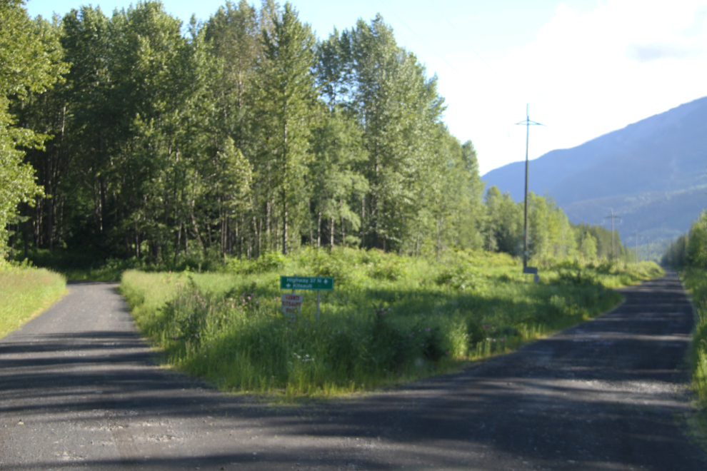
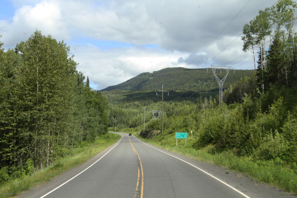
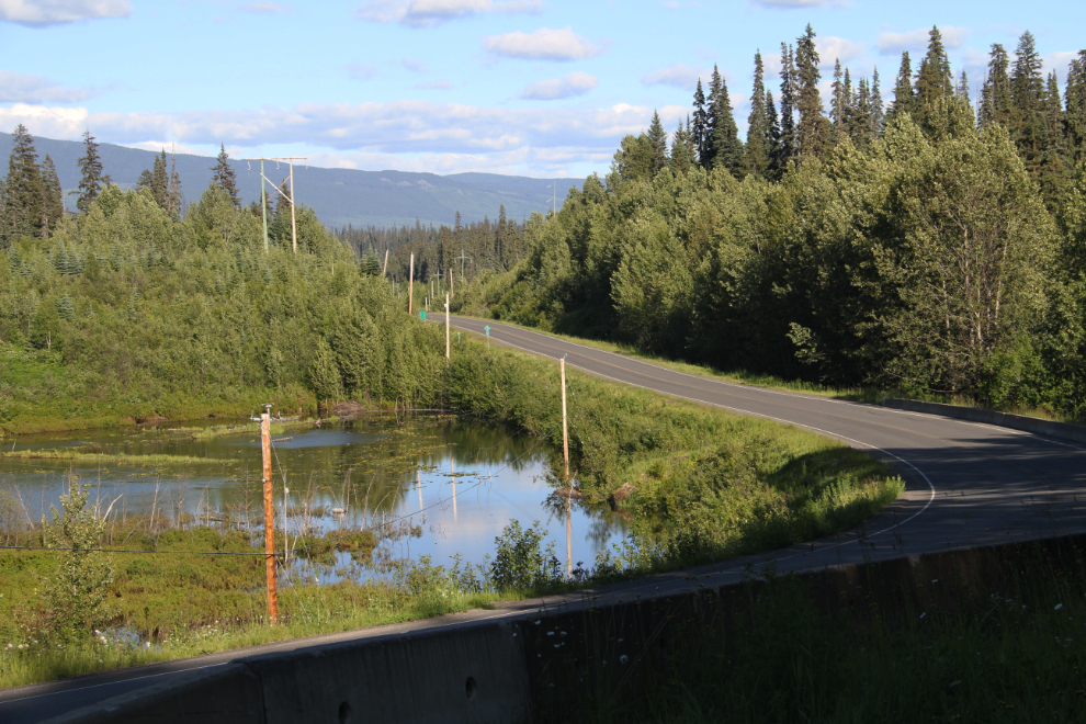
At 10:40 we reached the end of the Nass Forest Service Road at Cranberry Junction (it’s not a community, just a road junction), and turned onto the Stewart-Cassiar Highway. Ten minutes later, the sign ahead said that our destination, Meziadin Junction, was 66 km away.
The 55 km of the Nass Forest Service had saved me from 270 km of driving on pavement via Terrace but had taken me just over 3 hours, about the same time as the paved route would have. Wear and tear on the RV was much higher on the FSR, but it was sure more interesting! Would I do it again? Probably not, but who knows – I just might be in that sort of mood the next time the decision needs to be made.
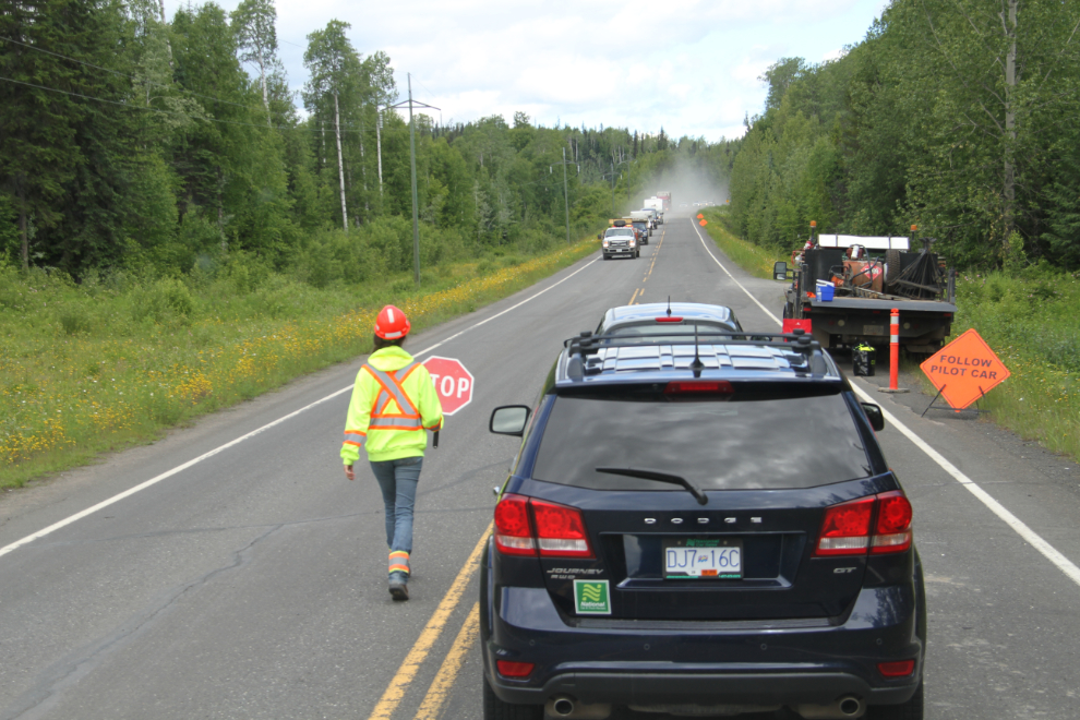
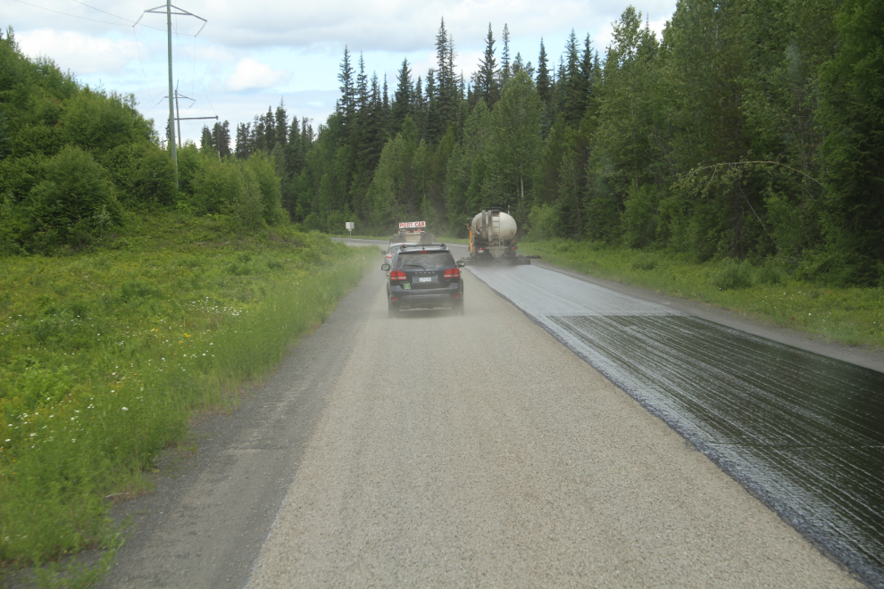
We had a 20-minute delay to get around some resurfacing work. The chatty flagperson sure seemed to enjoy her job.
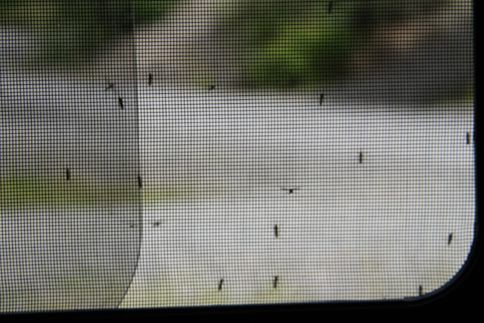
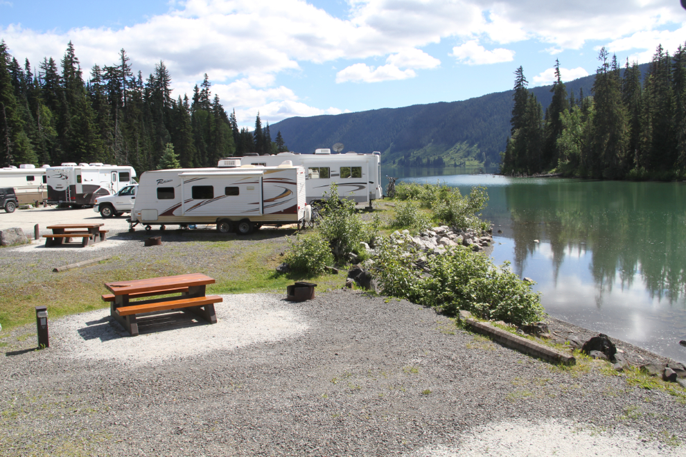
By noon, we were set up in a lakefront campsite at Meziadin Lake Provincial Park. Unfortunately, the mosquitoes were terrible again, and drove us inside. Haha, you can smell us but can’t bite us now!
Being in the motorhome was still good – Meziadin Lake is a gorgeous park.
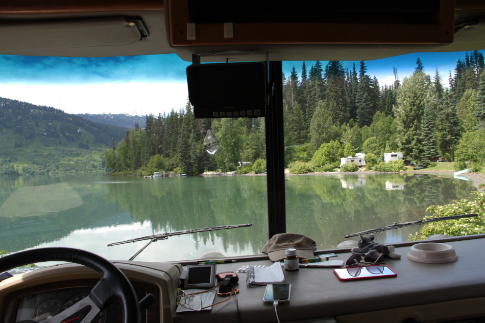
The view out the side window. Many of the 20 or so lakefront campsites have trees, but I really like this area that’s wide open. All of these sites have electric outlets to plug into. Because of my laptop, that’s the one service I really do like having, but as soon as I get a chance I’m going to check into getting solar power for the rig.
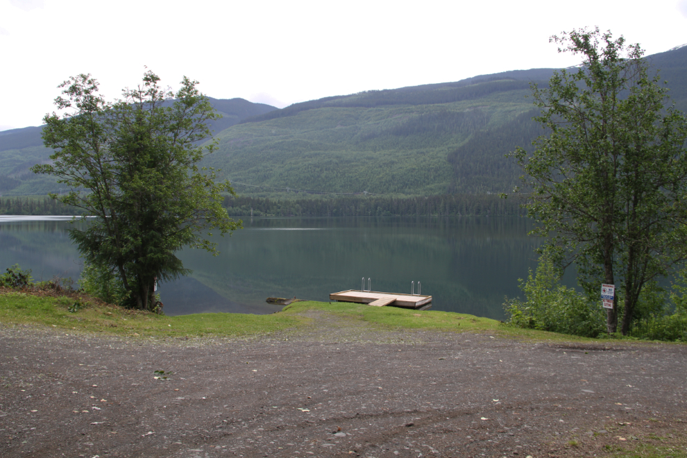
There’s an excellent boat launch and dock. The boat in the photo belongs to the park operator, who uses it for fishing charters.
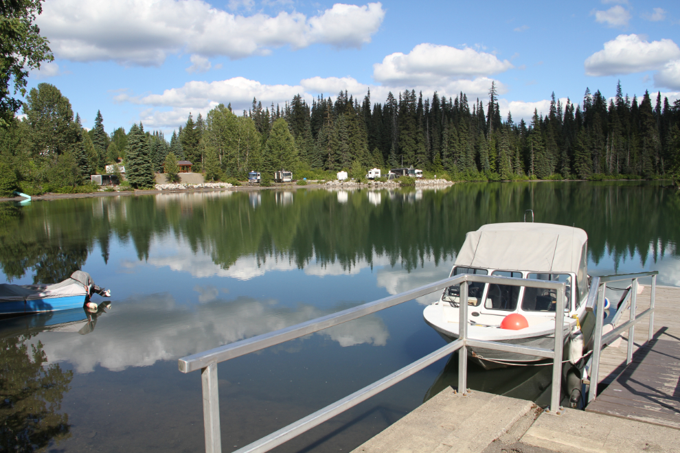
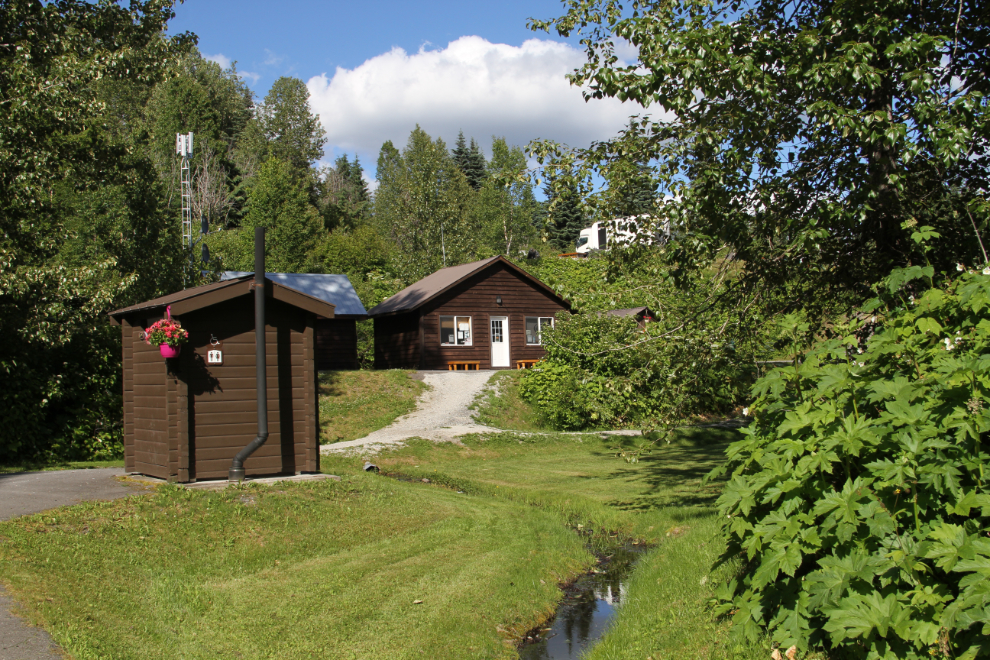
The entire park is immaculate. Meziadin Lake really is a gem in BC’s park system, and the operator does a great job running it. The building in the photo is the office and store that’s open for a couple of hours each evening. The park even has wifi! The park operator has been running it, but it’s now with a private service, and it refused to accept my credit card so I couldn’t log on.
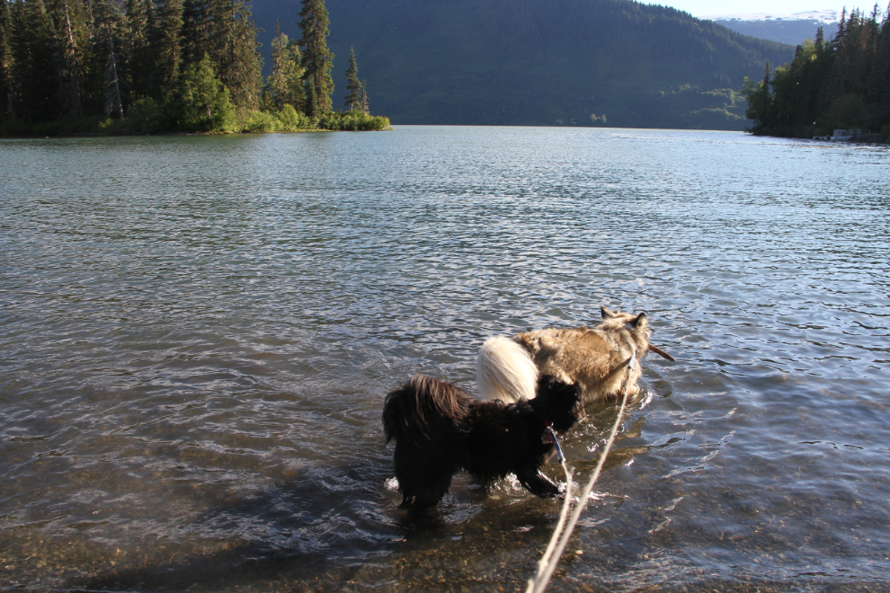
Although the mosquitoes were too bad to sit still outside, Bella and Tucker and I went for a few walks and created enough of a breeze to keep them at bay. On a long walk out to the highway before bed, we had our route shortened by a black bear on the side of the road down by the creek (barely visible in the photo).
Some stick-play with the kids on the beach in front of our campsite was a great way to end the day. I had thought about staying another day here, but decided to move on to Stewart the next day.