Canoeing the Yukon River, Part 3: on to Carmacks
This post covers our journey starting below Shipyard Island at about 1:00 pm on Thursday, August 14th (Day 4 of the trip), and ending as we were leaving Carmacks on the morning of Saturday, August 16th (Day 6).
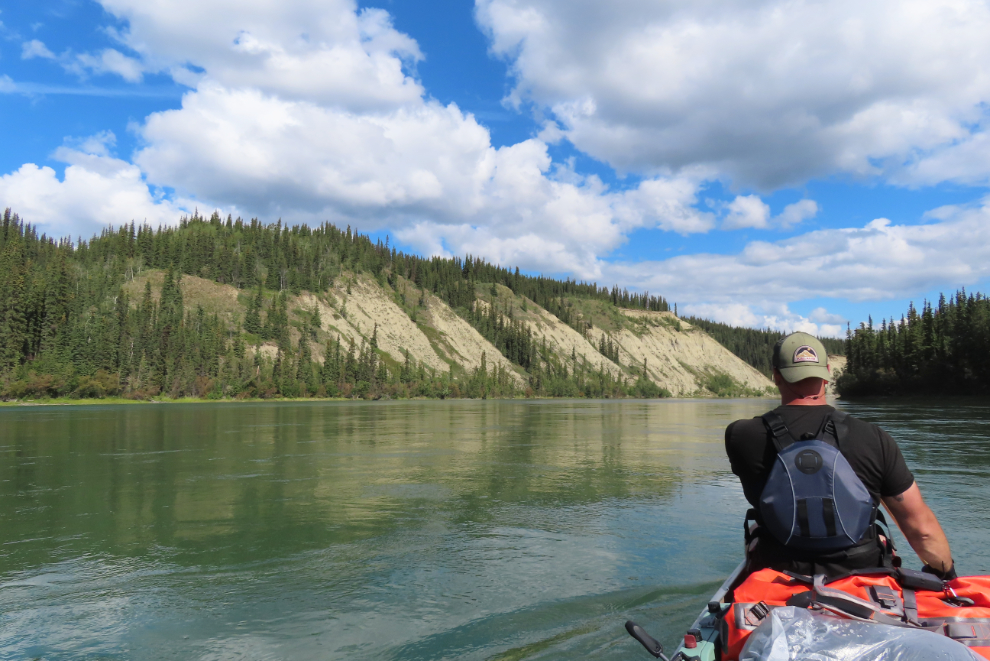
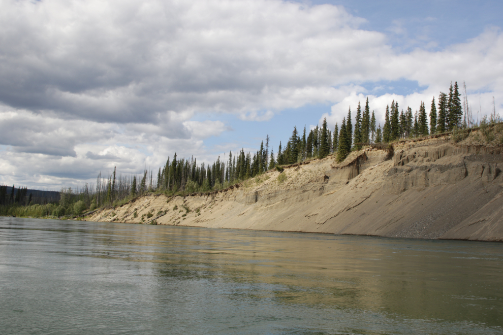
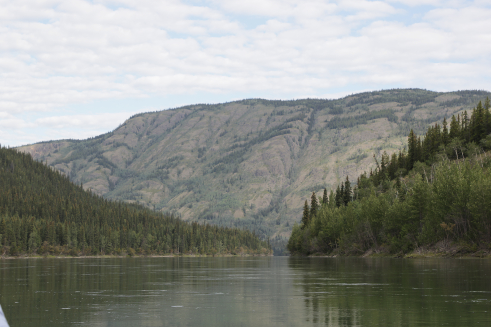
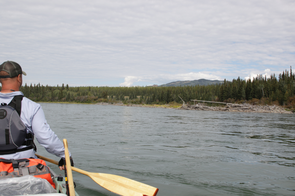
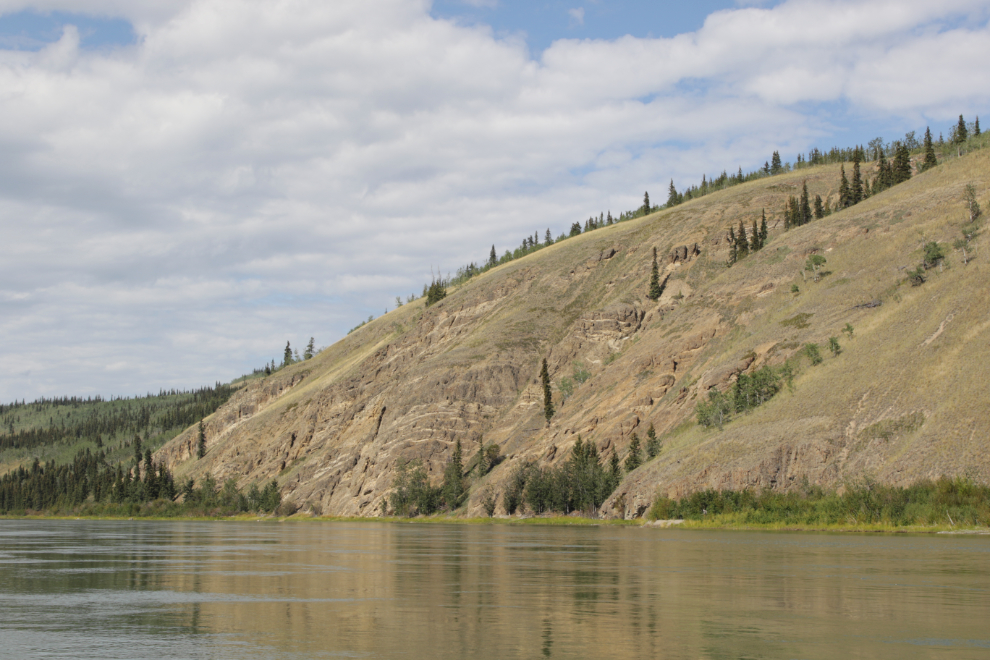
The first photo was taken about 10 minutes after leaving Shipyard Island, so about a mile below. It was certainly a perfect day to be on the river, with not another person for miles.
Mike Rourke’s river guide notes a “potential high water camp” with a toilet at about Mile 120 (which is 91.5 miles from our starting point at Rotary Park in downtown Whitehorse). Unfortunately, high water has destroyed the boat landing.
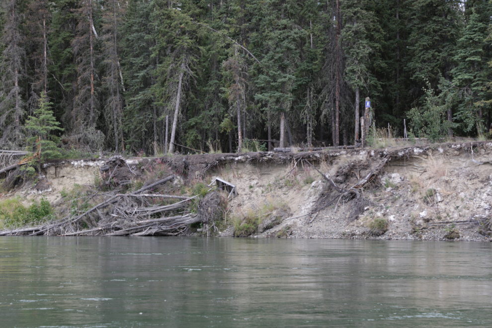
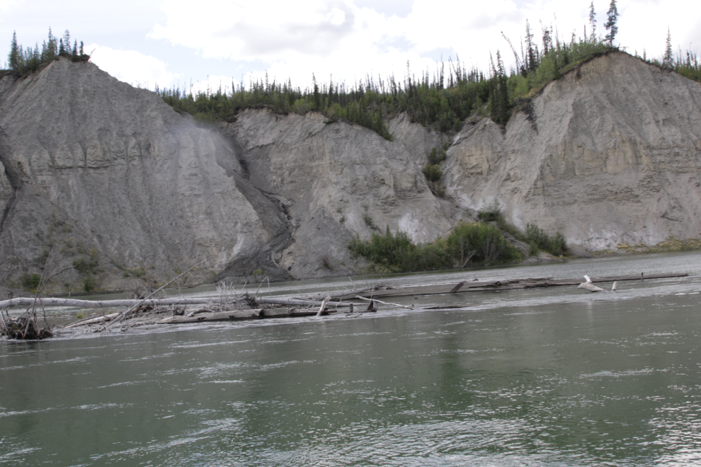
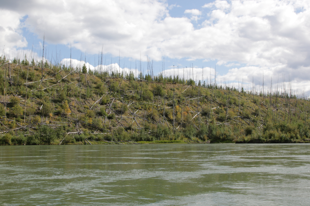
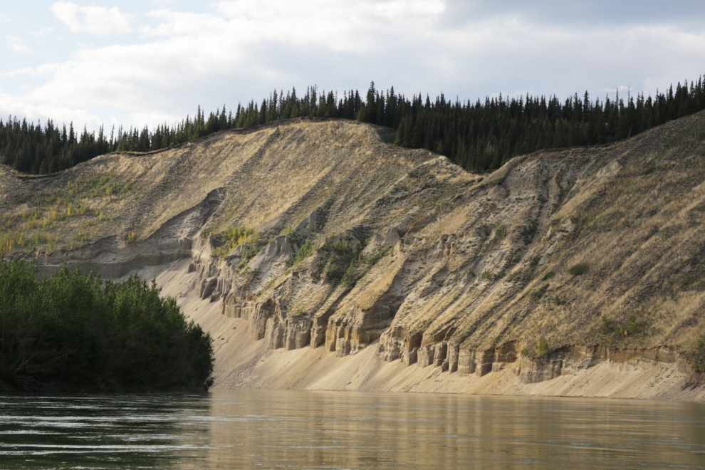
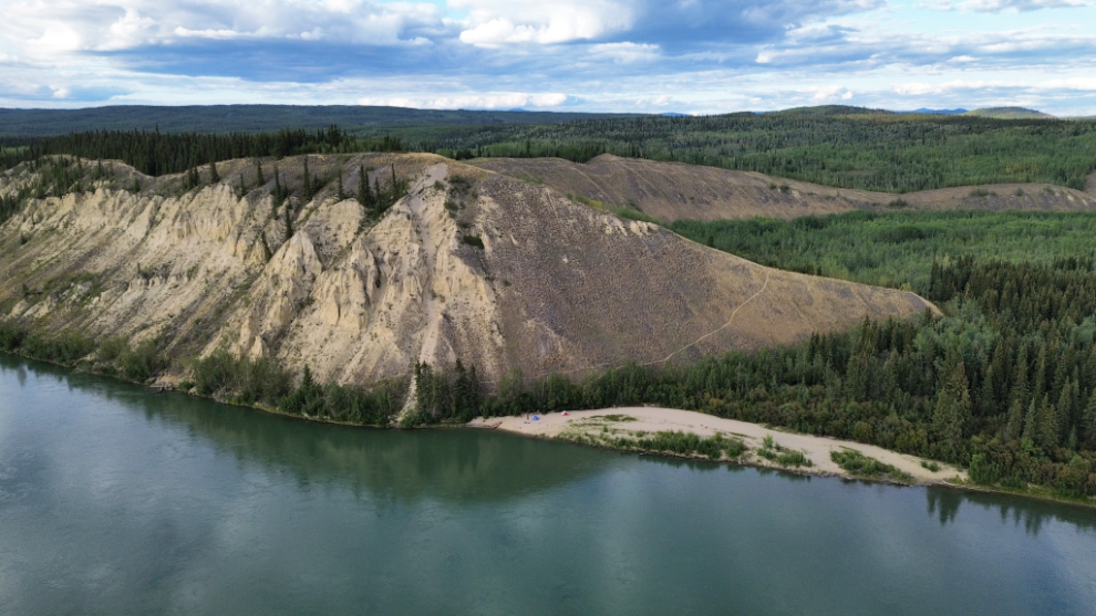
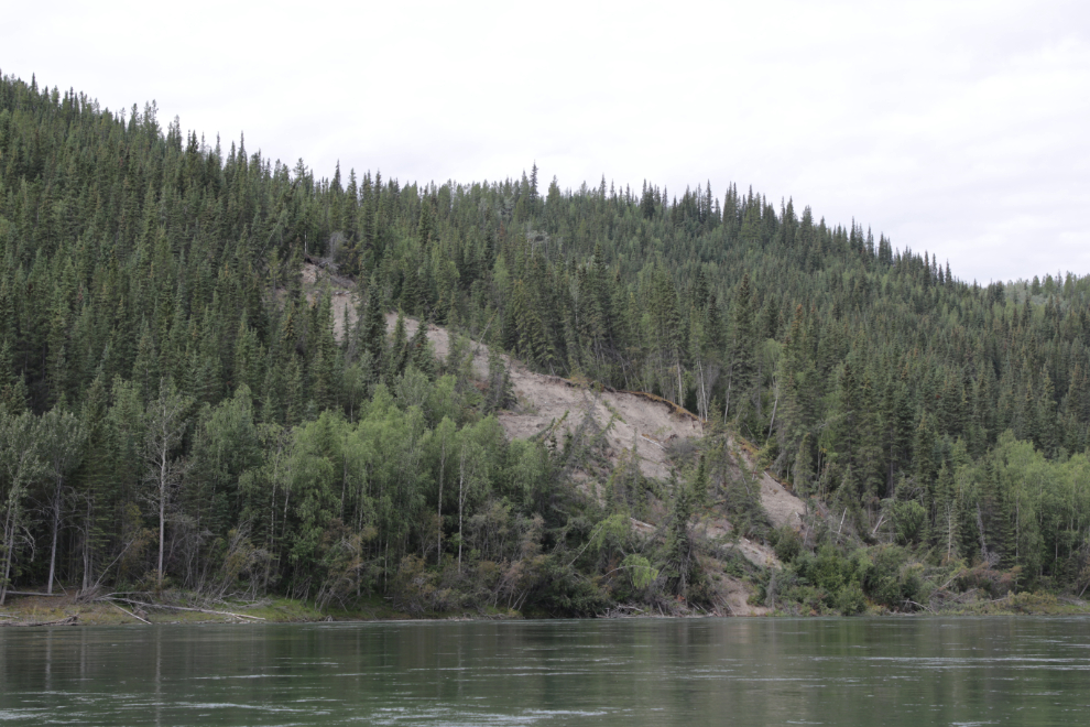
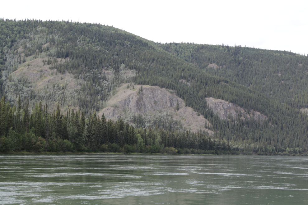
The erosion of the river banks fascinates me for many reasons. “If a tree falls in a forest and no one is around to hear it, does it make a sound?” I don’t know, but it may block the path of the people who arrive later. It seems that much of the bank erosion, and many of the landslides we saw, were very recent, probably from this year’s high water. In some cases there is now rough water below the landslide, and the thousands of trees falling into the river are ending up joining existing log jams, or grounding on sandbars not previously marked. While the next photo shows an old slide, there appears to be a new addition to it.
Another large slide – it was now only 1:27 and I had already shot 11 photos since leaving Shipyard Island. At one point when I told him how many photos I had shot so far, Steve asked if I was actually doing any paddling. I told him that I had invited him along to provide power so Captain Kodak can sit in the back just pressing the camera shutter button 🙂
At low water levels, the hull of the first sternwheeler named Klondike can be seen at Klondike Bend, but it was hard to make out this day. It sank here after failing to negotiate a bend on June 12, 1936. The steamer Whitehorse was sent down and rescued all the crew and 31 passengers, but the freight was almost all lost. The machinery and superstructure were later removed and used in other boats.
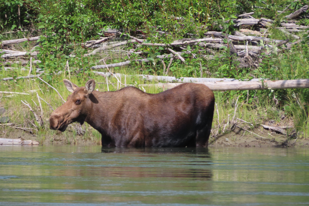
Finally, an animal! She was completely unconcerned about us passing by.
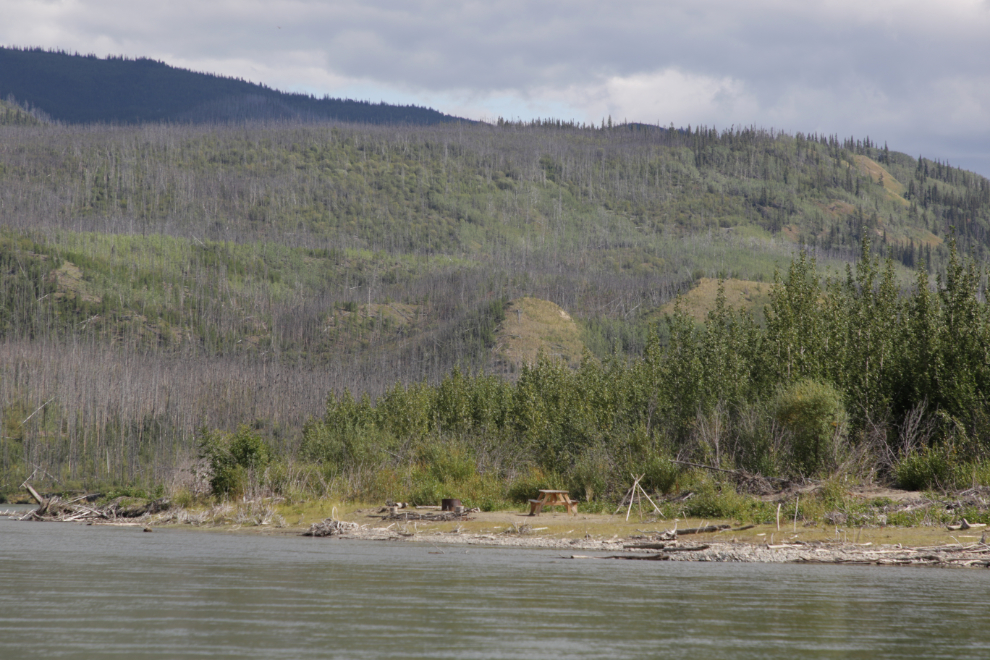
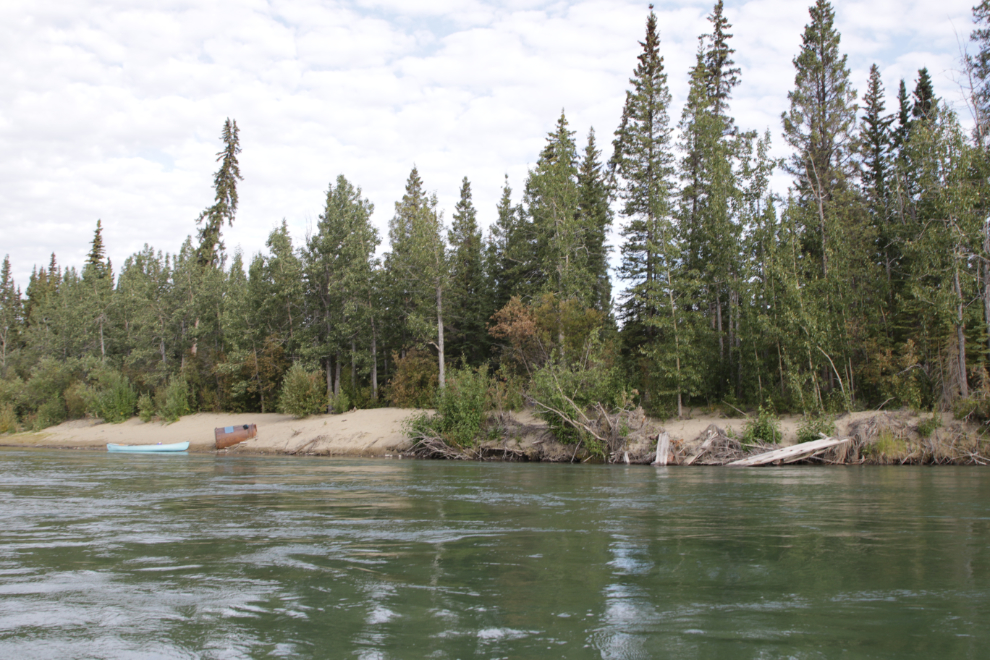
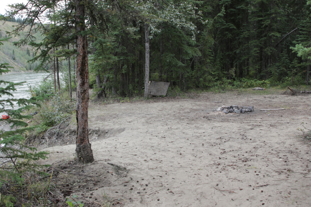
We passed by this particularly nice little camping site just after 3:00.
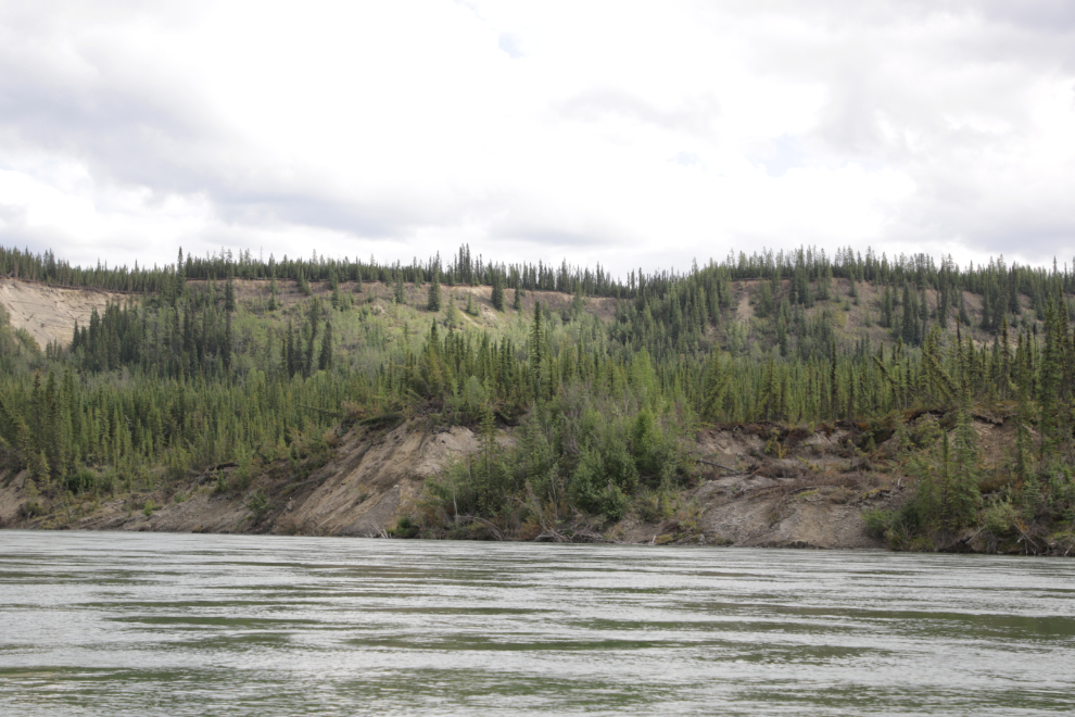
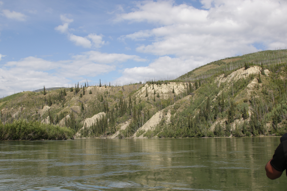
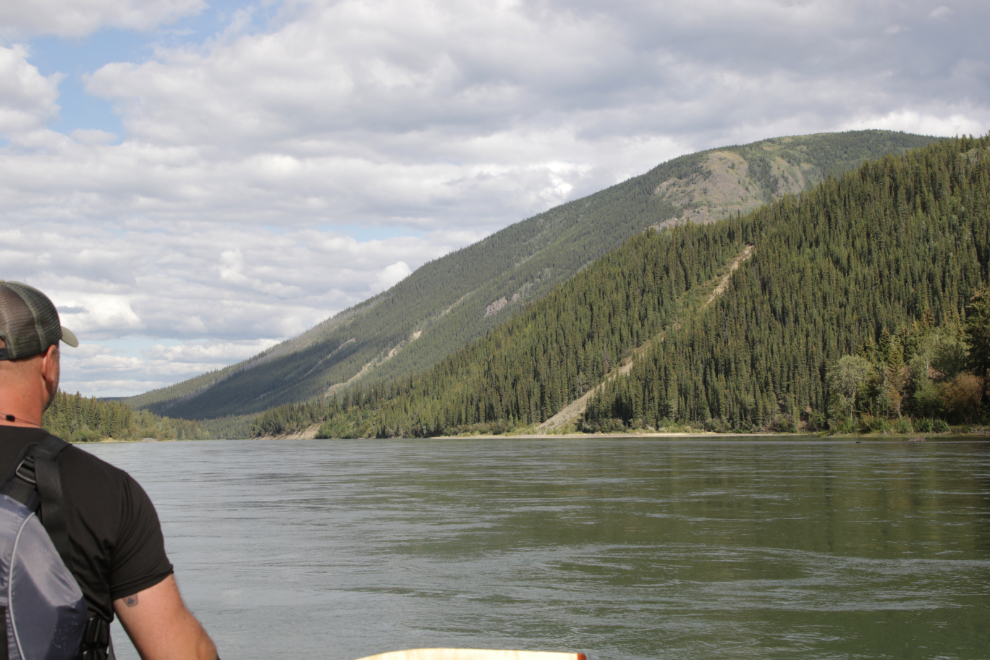
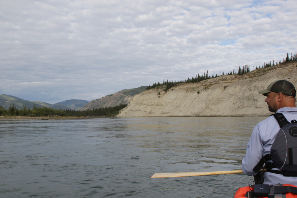
It’s often said that the Thirty Mile is the most scenic part of the Yukon River, and I had bought into that, but seeing it again now, I no longer believe it. The scenery is constantly changing, seldom dull.
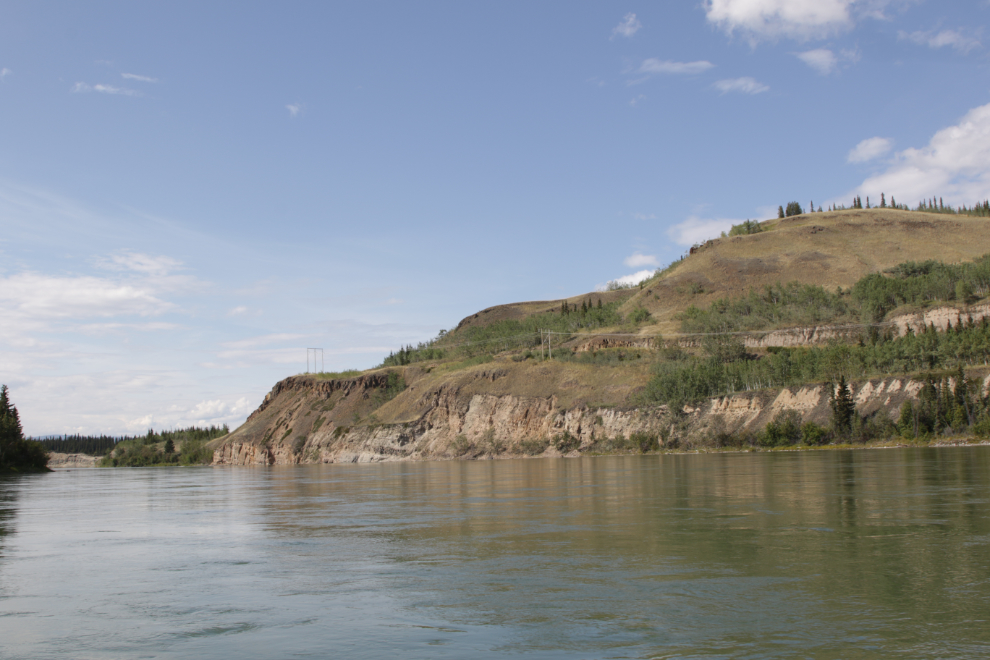
I often thought about the skill needed by the captains and pilots of the sternwheelers. Distinctive cutbanks were a crucial part of the river charts they created.
This slope is reported to have burned in 1977. I was pretty confident by now in guesstimating our position by using 7 mph as our speed including breaks, then confirming it with landmarks noted in the book. It was now 3:33, putting us about 17 miles below Shipyard Island.
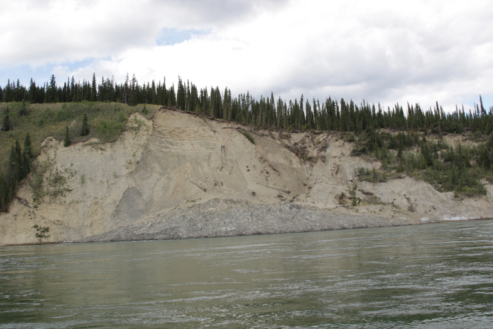
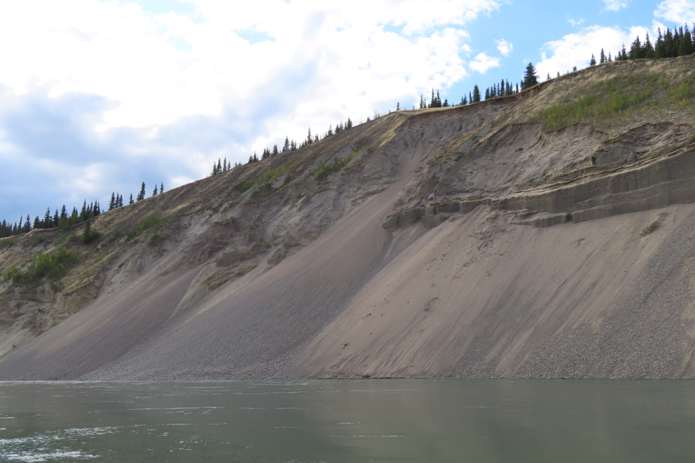
This was the highest landslide I had seen, but two more ahead looked even higher.
I wonder why the slope broke there…
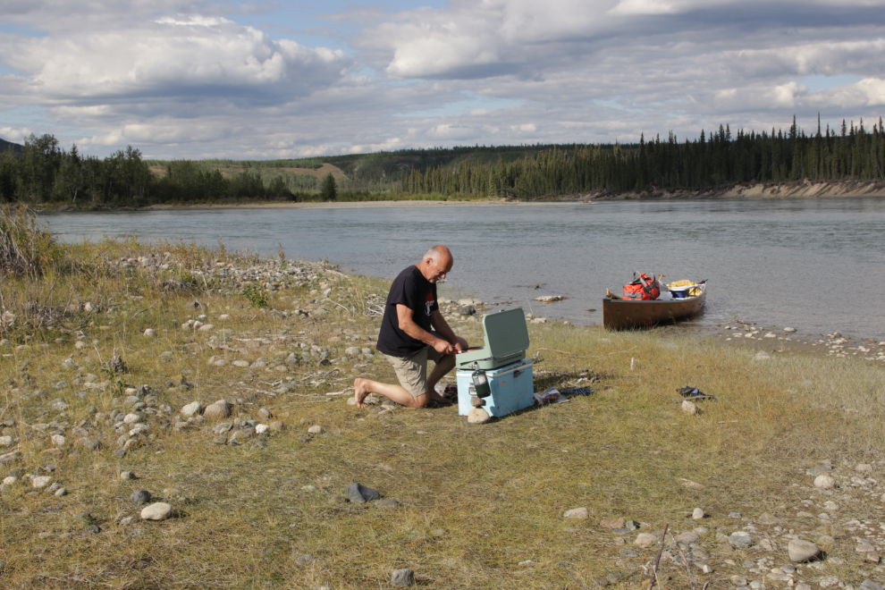
Ready to eat but not to quit paddling for the day, we stopped on a convenient island just before 5:30 and I made dinner. We had brought lots of dehydrated meals but ate little of it.
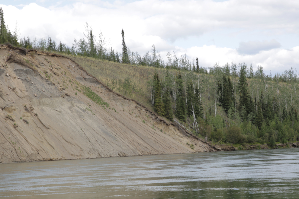
Wow, this was probably the best cutbank yet – we passed it at 6:35.
In the next few minutes we passed two more cutbanks of note.
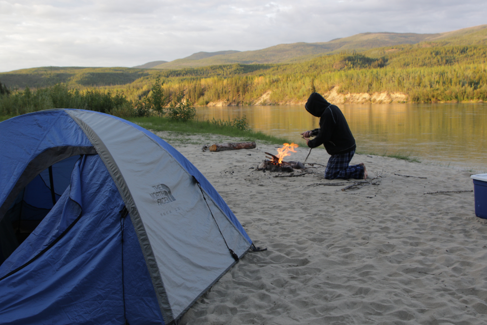
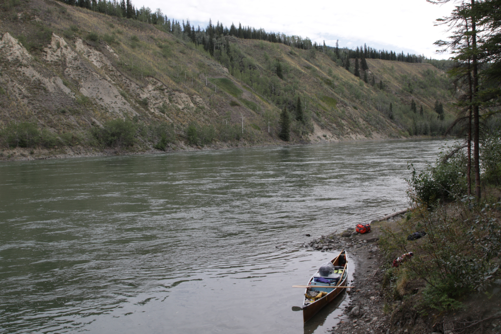
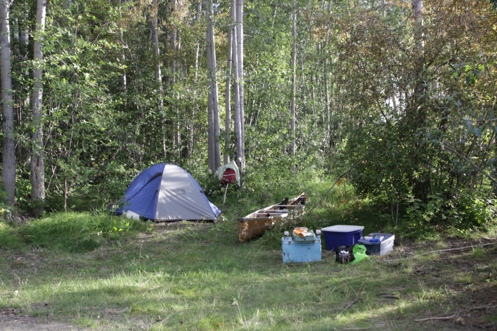
At about 7:30, an hour below the Big Salmon River, we spotted a sandy bank that looked like it might provide good camping. We initially landed at the upstream end, and I was about to start unloading the canoe…
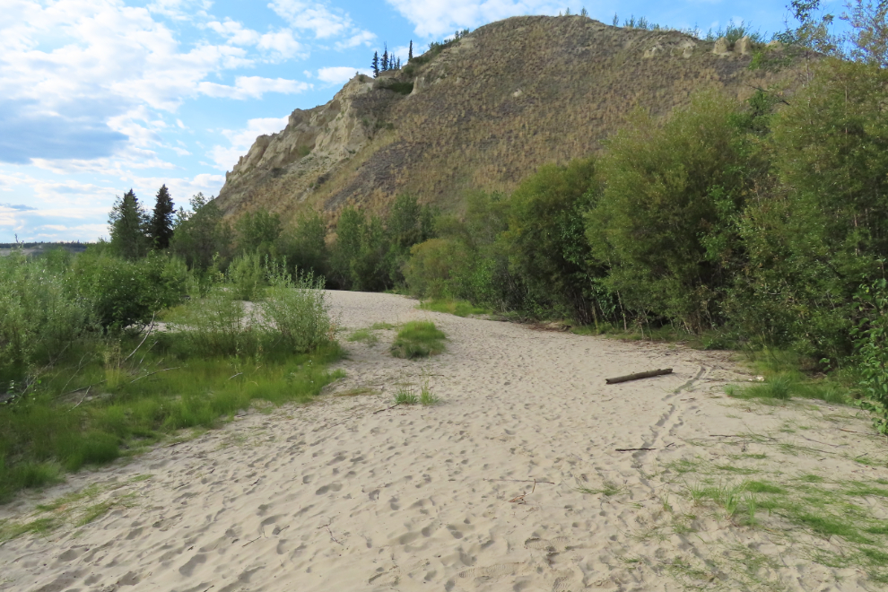
…but Steve had taken a walk to the downstream end and said it was even better. Was it ever – there was even a “drydock” for one canoe shovelled into the bank!
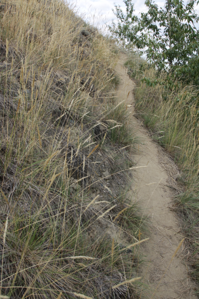
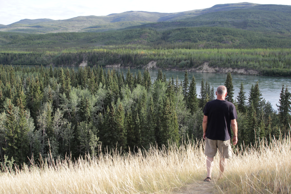
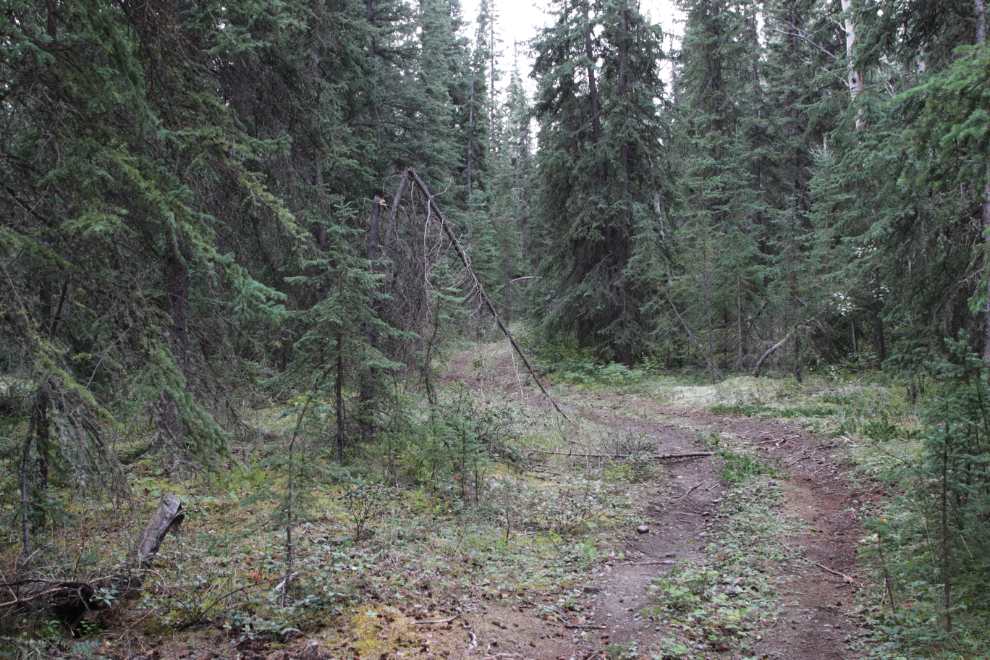
I had noticed a trail leading up the bluff, and went to check it out. It was steep, and led to the top of Dutch Bluff. It was well used, and this is obviously a popular spot to camp with groups.
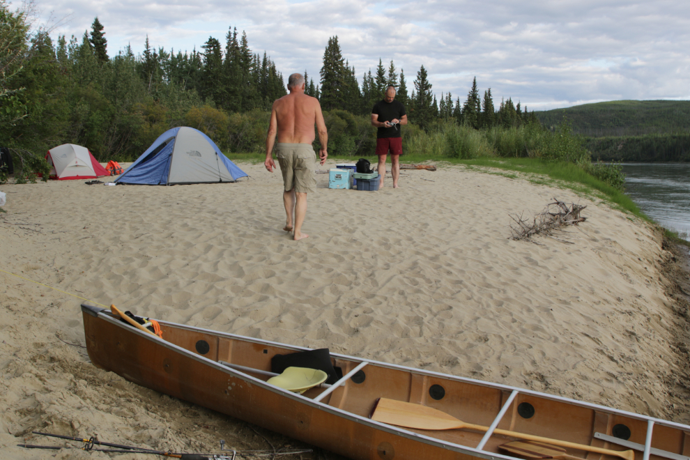
The drone gave us a good look at our camp, the trail, and the area.
Friday, August 15th (Day 5 of the trip) – a fire then breakfast to get what looked like a fine day off to a good start. However, I had been saying that there would be nothing on the trip that could trigger a brain crash, but I was wrong – I was find dealing with our gear in the mornings to be difficult and chaotic. That had started on Day 3, but was getting better now as we settled into more of a routine.
August 14/15: Camp #4 – Lat: 61.926756, Long: -135.065231. Elevation: 1,855 ft.
We were back on the river just before 09:30, and were soon approaching the site of Cyr’s gold dredge. However, it was clear that what we saw in 1997 no longer exists, and we didn’t even stop. We’re also very reluctant to intrude on other canoeists’ space.
09:49…
A particularly fine view ahead at 10:31.
Another fairly large landslide at 10:57.
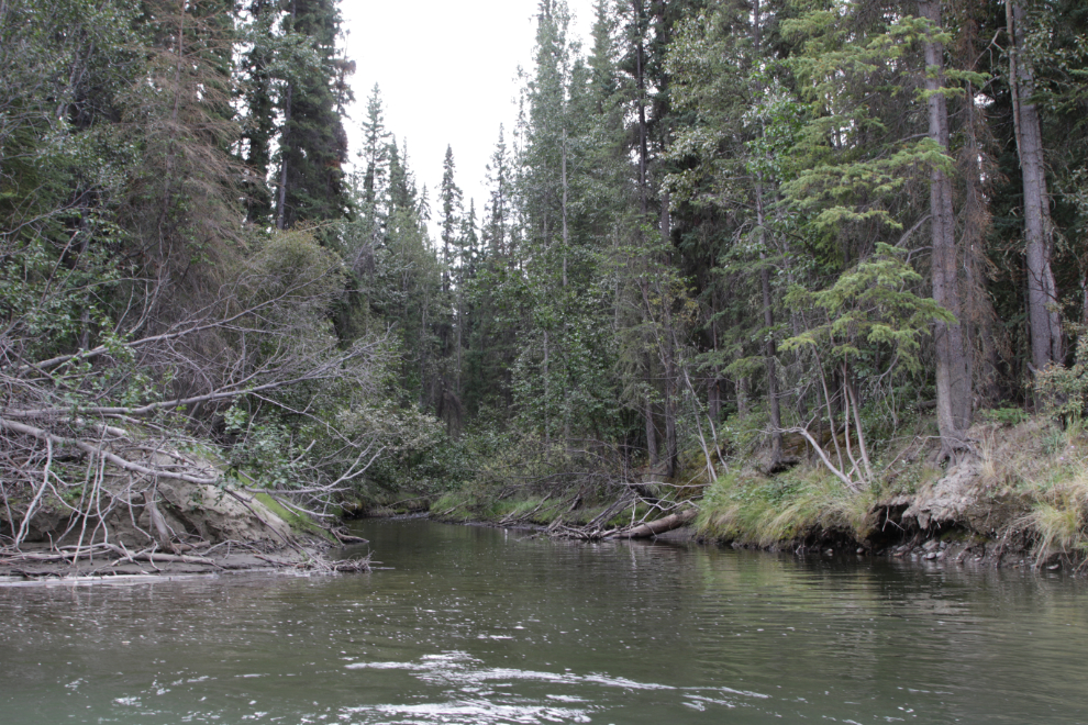
Claire Creek, the first of the Twin Creeks, at 11:20. We were now 142 miles from Whitehorse.
We stopped for a look at the second of the Twin Creeks, noted as a good camp. The boat landing was pretty good.
It was indeed a good camp.
But it was much more. Access to good hunting territory, on roads originally built by woodcutters is my guess.
Passing “Rock Mountain” at 12:09.
Passing “Big LP” – distinctive log piles are often used as landmarks in the book.
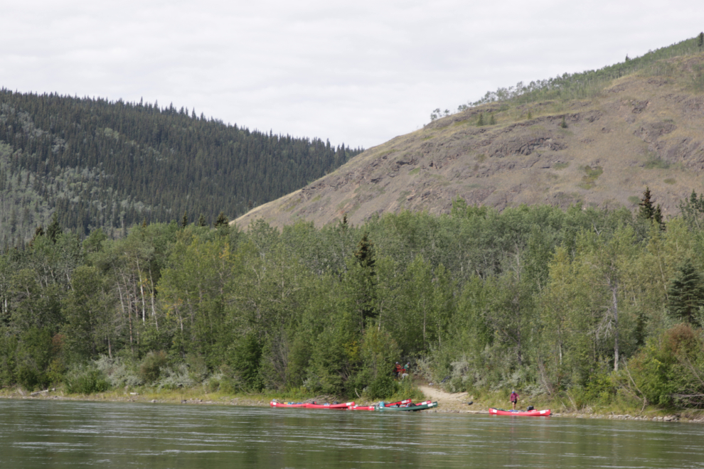
Little Salmon Village was a very busy place, and we had no interest in joining them. There were 8 canoes on the bank, and a few more heading down the river. It was apparently a day-trip from there to Carmacks, but I don’t see such a thing being offered by any of the operators.
At 1:30 we stopped for a break and lunch at what looked like a good landing.
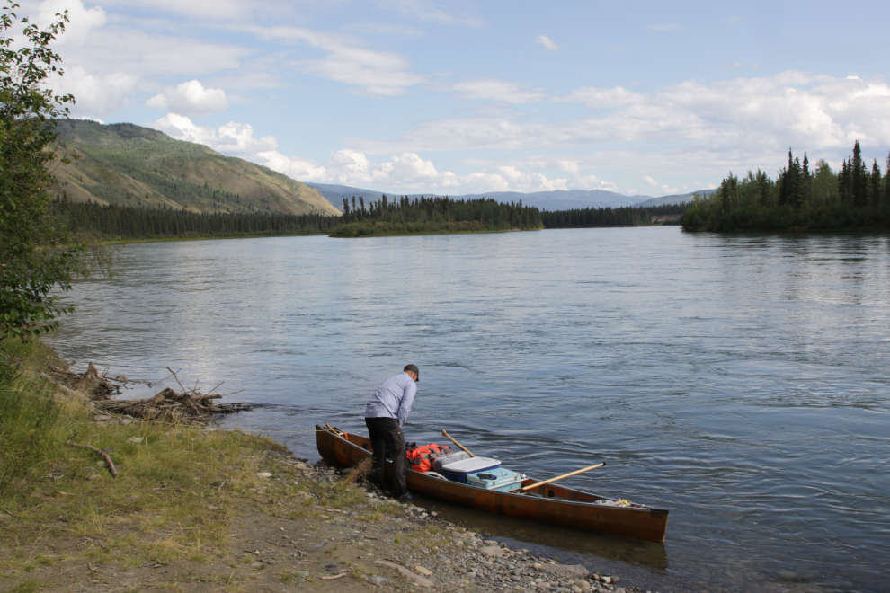
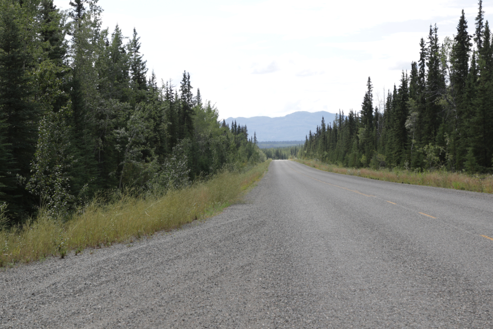
It turned out to be a boat launch on a gravel road. I walked up the road and in a few hundred yards was at the Robert Campbell Highway, which joins Watson Lake to Ross River, Faro, and Carmacks.
This dramatic limestone hill is Eagle’s Nest Bluff (T’sal Cho An), mentioned by all of the early explorers, including US Army Lt. Frederick Schwatka, who named it Parkman Peak (that name never stuck).
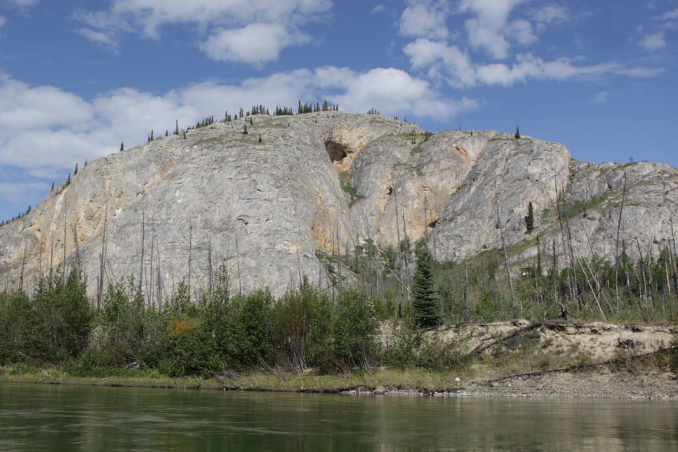
The exposed rock on this dry hillside had some great banding by a lighter rock.
At the left of this ridge is a pulloff along the highway that offers a great view up the river – I’ve shot a few photos from there over the years.
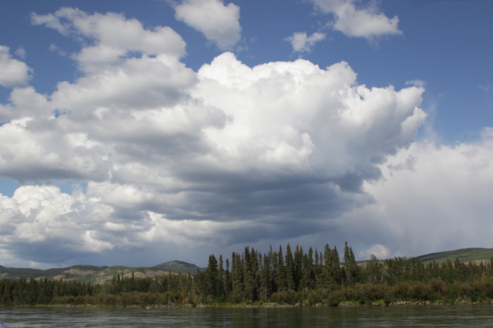
By about 3:30, a few thunderstorms with rain were closing in on us. This one that I shot at 3:53 narrowly missed us, passing tom the south of us with only a brief and very light shower reaching us.
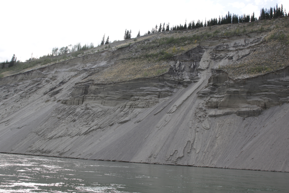
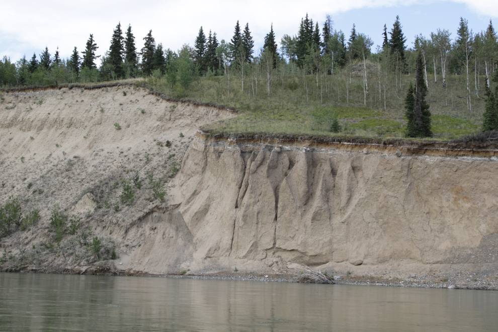
The very clear layers in this bank tell quite a story of the past few thousand years.
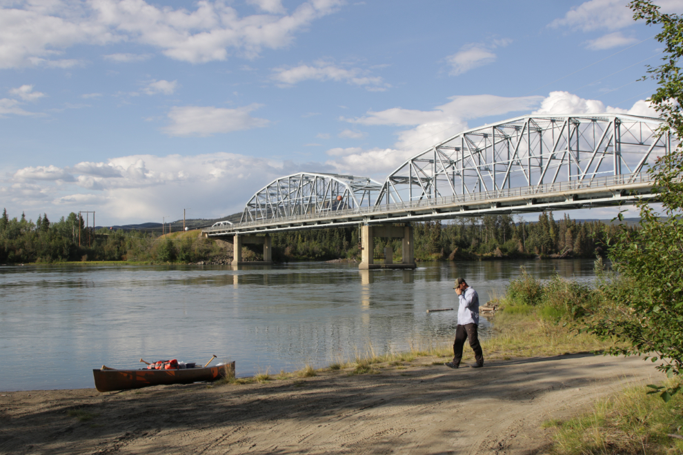
I hadn’t been at all sure what to do about camping this night, but we decided to push through to Carmacks because we wanted some stuff at the store. This photo of the boat landing and bridge was shot right at 6:30 – we had paddled 60 miles today and were now 187 miles from Whitehorse.
The last time I was here, although the old campground was closed and all the facilities had been removed, this area looked like it was being developed for canoeists to camp at. That turned out to be not true, and coming here was a bad idea 🙁
I posted on the Paddling in Yukon group on Facebook, asking where people camp now. The answer was Coal Mine Campground. A mile or so upriver from where we were, impossible to get to. So, we picked a spot as far out of sight as possible, and set up our tents.
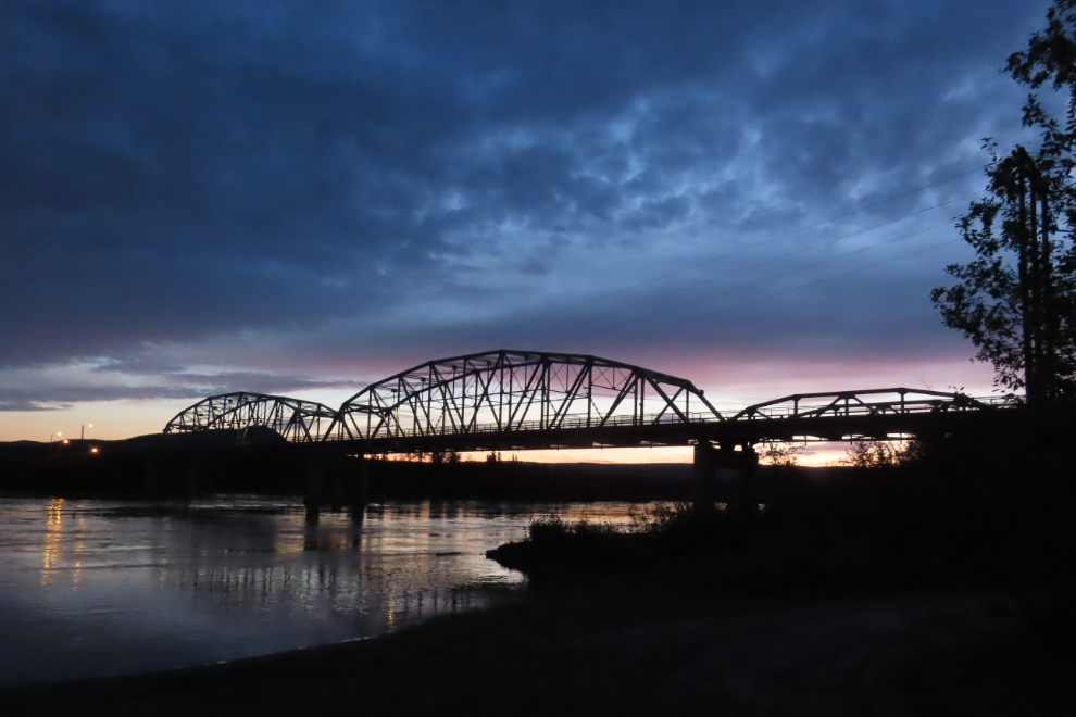
We slept very little that night – a drunken party arrived at the boat launch just after midnight. We weren’t surprised at all by that. The dawn light was lovely, though.
Saturday, August 16th (Day 6 of the trip) – we had heard one of the female partiers go for a dip in the river, and in the morning, her tshirt, shoes and glasses were still on the bank. I called the RCMP and told them what I’d found. The dispatcher agreed that it could be a sign of trouble, and an officer soon arrived. Luckily, he knew whose clothes they were, and said she often appears around town wearing very little. He folded her clothes and placed them by the side of the road, and we all continued with our days.
August 15/16: Camp #5 – Lat: 62.093761, Long: -136.272955. Elevation: 1,730 ft.
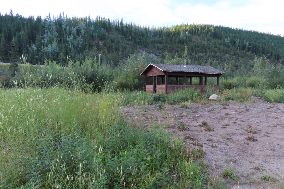
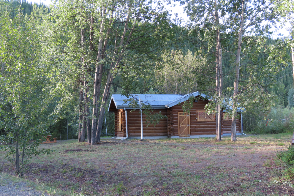
I went for a bit of a tour, and to get one more thing from the store. The reproduction telegraph was the visitor centre many years ago, but it didn’t seem likely that it still is.
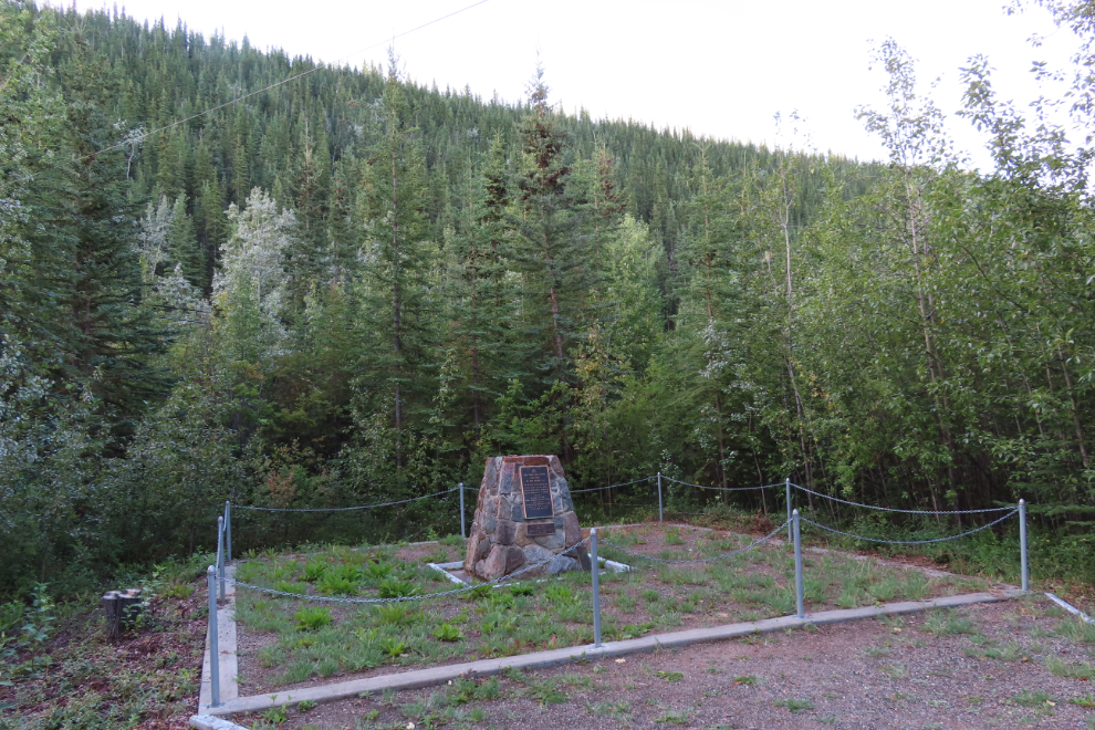
I was mostly interested is seeing that an RCMP memorial was being properly maintained – it was/is. On July 13, 1963, with four RCMP officers and one prisoner on board, a float-equipped de Havilland Canada DHC-2 Beaver, CF-MPO, crashed while trying to land here. Killed were Sgt. K. Morley Laughland, Cpl. Robert William Asbil, Cst. Proctor L. A. Malcolm, Cst. William J. D. Annand, and the prisoner they were transporting, whose name is not on the memorial. You can read more about the crash here.
Enjoying the photos and updates from your trip Murray, glad to see it’s going well!
Thank you, David. It’s an incredible experience 🙂