Hiking Tina Creek Ridge on the Haines Highway
I got home Saturday night (October 1st) from the final RV trip of the year, and it started snowing on Monday, so my high-country is also probably over for the year. I spent 3 days in the Haines Summit area, and did 3 excellent hikes – a short one on Tina Creek Ridge, a 7-hour one to the Samuel Glacier, and a 4-hour one to the Three Guardsmen cirque – so I’ve got some catching up to do on the blog.
The weather forecast for Haines as I was getting ready to go Thursday morning was pretty much perfect – sunshine and light winds. I was really pumped about getting a great finish to what has been an amazing season.
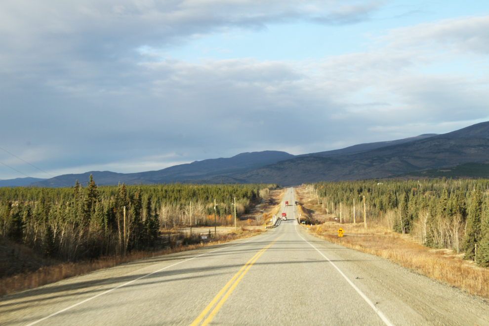
By 09:40, I was well west of Whitehorse on the Alaska Highway, but the weather was nowhere near as good as I had expected. There was a solid ceiling of dark and threatening skies in the direction I would be heading. The Takhini River bridge at Km 1468.9 is in the dip ahead in the photo.
I usually stop at the rest area at Km 1566, seen ahead on the right. It’s a good place to walk the dogs, but I wanted to get to the summit as quickly as possible this time.
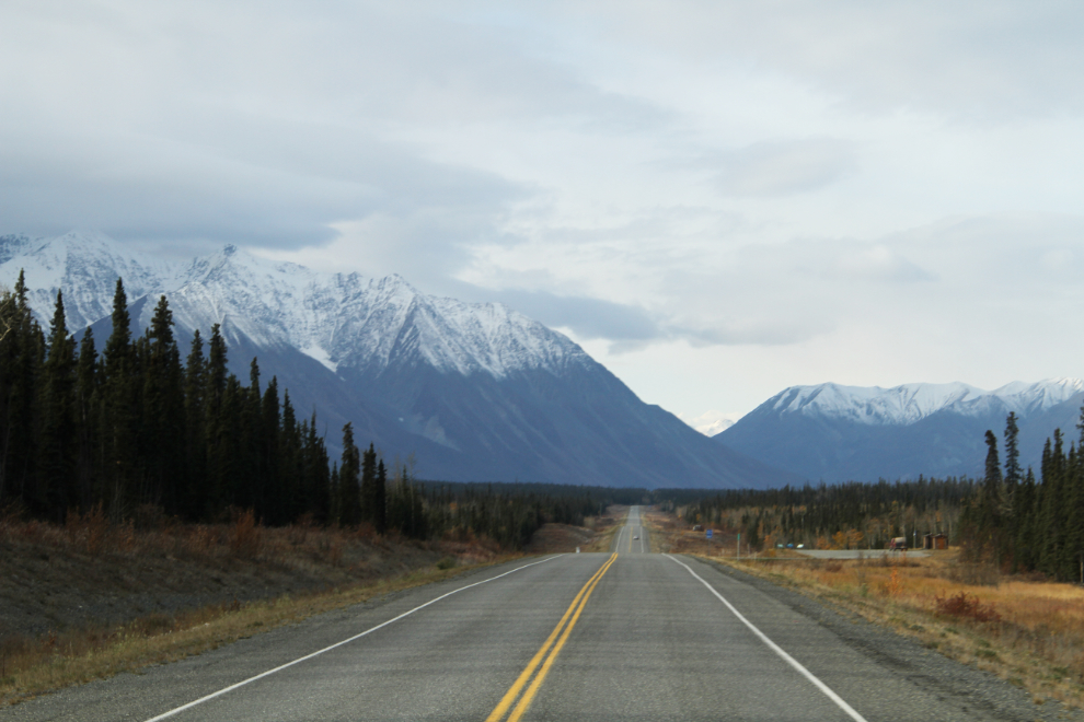
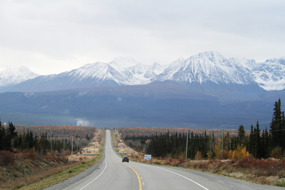
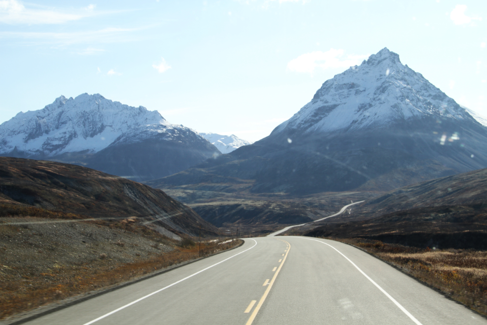
Nearing Haines Junction at 10:56. This is probably one of the most-photographed sections of the Alaska Highway – you come around a corner and wow!
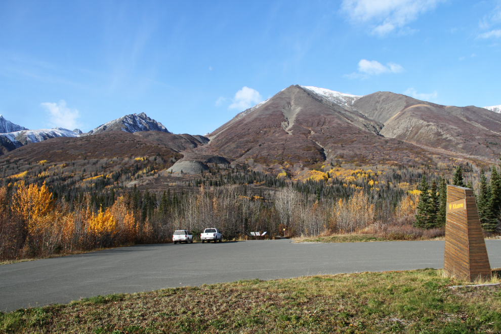
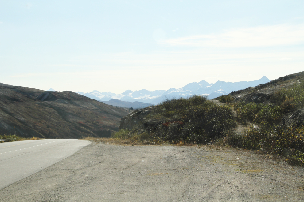
A quick photo stop at the Rock Glacier Trail, at Km 202.3 of the Haines Highway, with the sky clearing nicely.
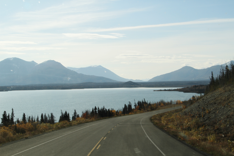
Dezadeash Lake.
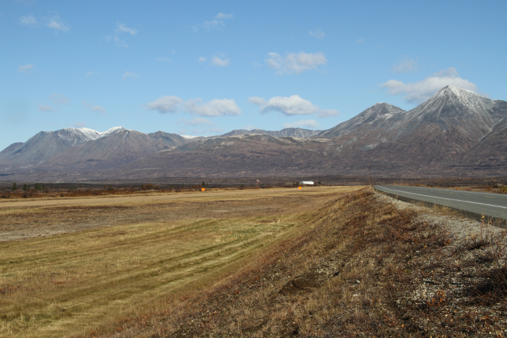
The Mule Creek airstrip at Km 115. I don’t think I’ve ever seen an airplane here, but that’s probably a good thing, as it’s here for emergency use when the pass ahead is socked in and can’t be flown safely. These 4,000-foot-long emergency strips around the Yukon and northern BC were built 60-odd years ago to handle aircraft up to a DC-3.
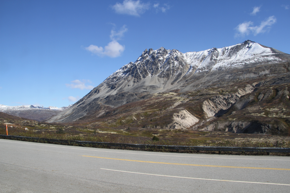
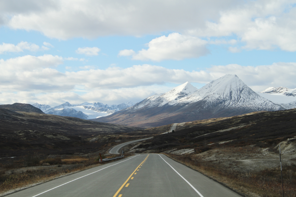
Three Guardsmen Mountain, ahead on the right, would be constantly in view for 2 of the 3 hikes I had planned for this trip.
The start of the first hike is here, at about Km 88.6, just south of Tina Creek. The trail is quite popular, but doesn’t seem to have a name. I’m calling it the Tina Creek Ridge Trail. It begins on either an old section of highway, or the access road for a long-abandoned pipeline – I’m not sure yet which it is.
It was time for lunch before heading out, so I took Bella and Tucker for a short walk first. This was the view from the dining nook in the RV.
After lunch, at 1:10 pm, the kids had a different idea than a hike. It would be a short hike anyway, so okay, just a little one… 🙂

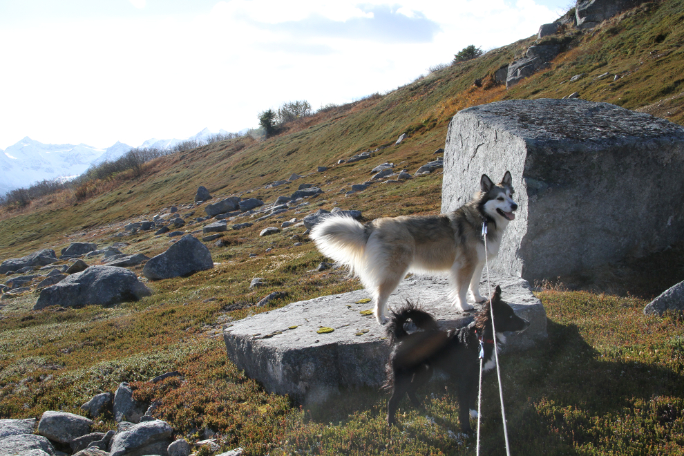
At 2:25, we stated walking up the old road. My GPS gave a reading of 923 meters (3,028 feet) at the start of the trail. It actually wasn’t as nice as it looks in the photos – a very strong wind was also very cold, and I was quite heavily dressed, including gloves and toque.
Mother Nature does some impressive rock work. The kids were on long leashes until we got higher, where I had a longer view and could see a grizzly if one was around.
I soon left the road we started on, and climbed straight up the ridge, but came to another road. This really does have the feel of an old highway alignment. This is the view to the south.
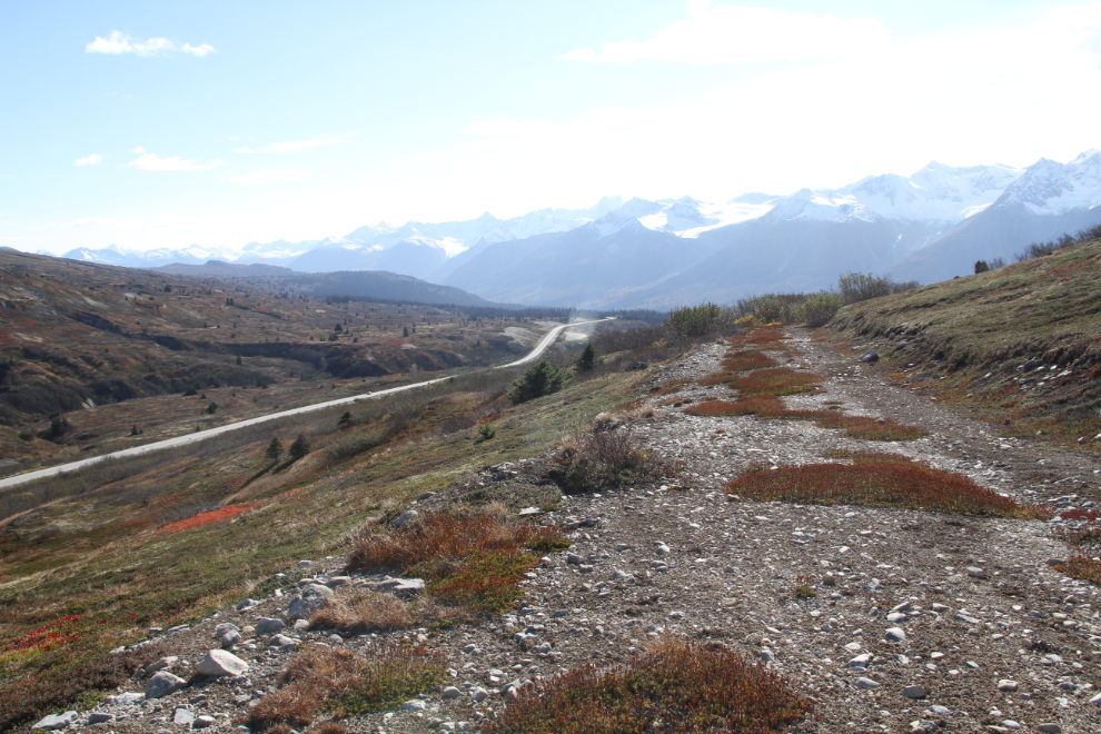
We walked along this road for a little way, and you can see that it lines up perfectly with the current highway in the distance.
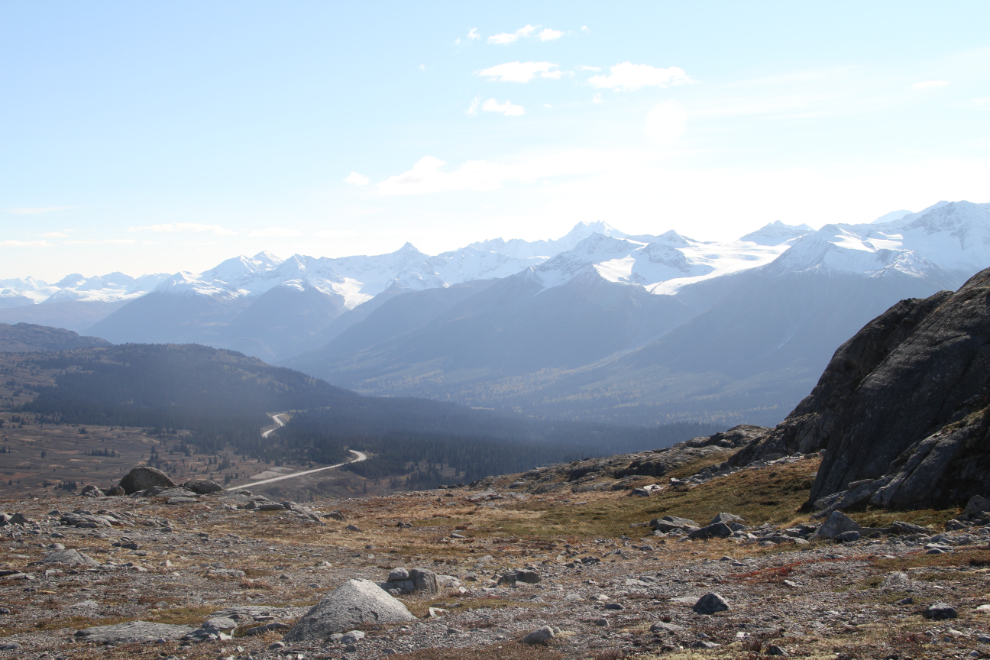
The higher I got, the more impressed I was by this ridge’s potential for longer hikes in the future. This was 40 minutes from leaving the RV.
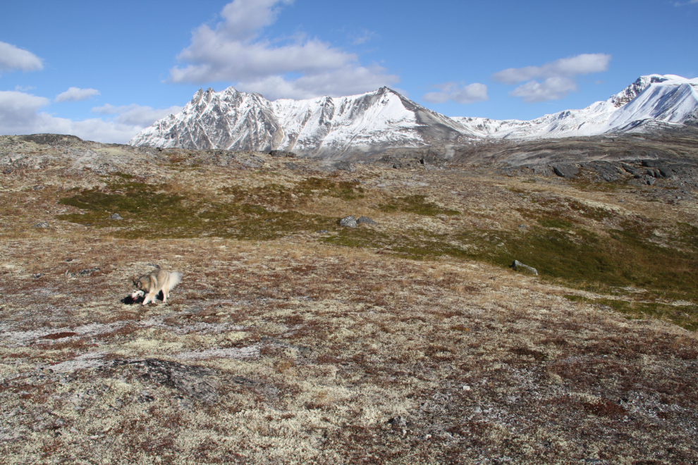
I spent a lot of time just savouring the stunning 350-degree views, while Bella and Tucker explored and played.
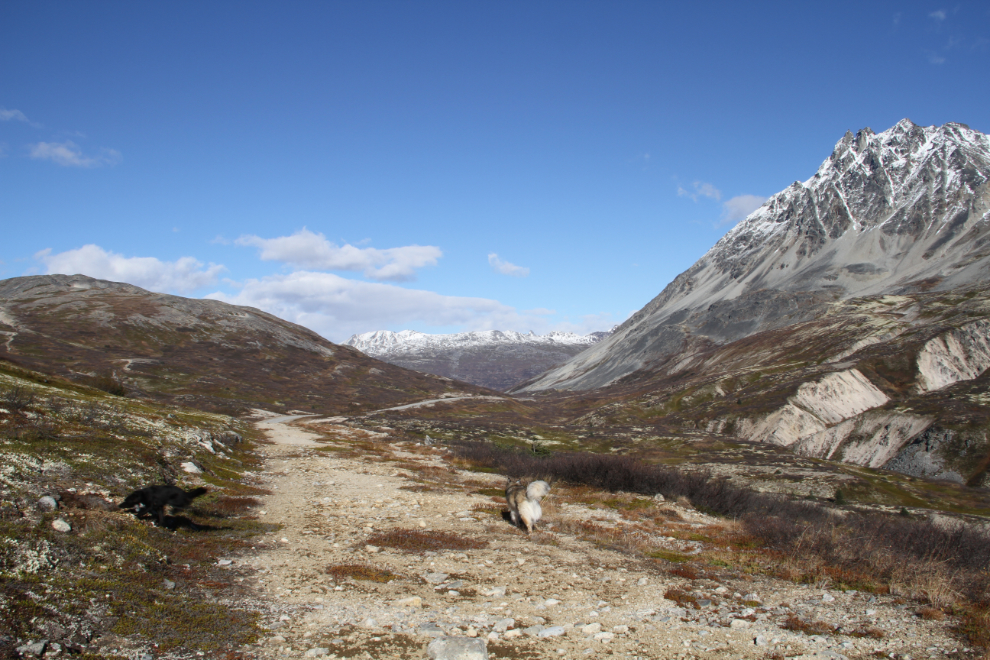
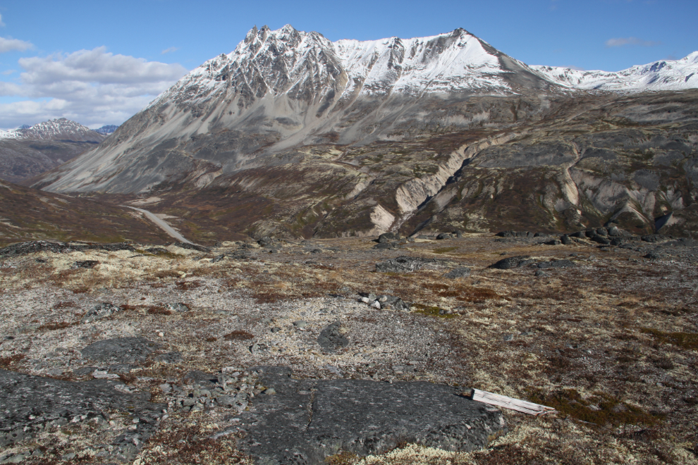
At the lower right is an old mining claim post. At the upper right, the cirque that we’d be hiking to on Saturday.
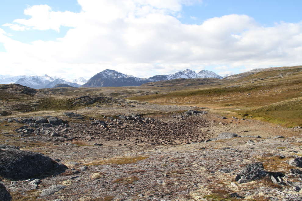
A small dried-up pond near the top of the ridge. That would be really pretty early in the season. That’s Tucker down in the middle of it.

Higher and higher…
Another dried-up pond a few meters from the top of the ridge, much larger than the last one.
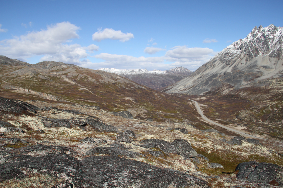
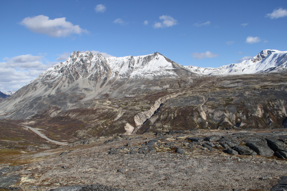
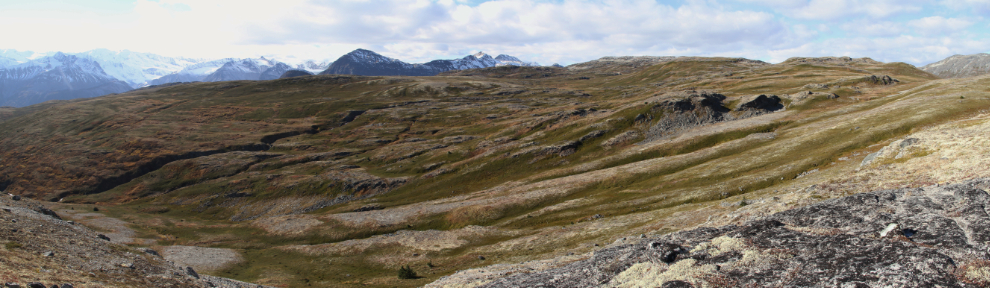
A 3-photo panorama from the top of the ridge, looking to the west at 3:20 pm. The elevation here is 1,092 meters (3,583 feet).
Up top, my feelings about future hikes here was confirmed. You could hike for days to the west and north up in this open country. Because of the nasty wind, though, we didn’t stay long this time.
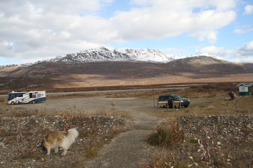
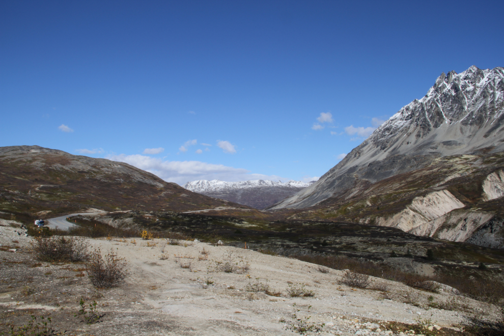
At 4:20, we were driving north again, planning to camp at the Chuck Creek (Samuel Glacier) trailhead for the 2 nights. The large, level, and sheltered parking area there is very popular for camping.
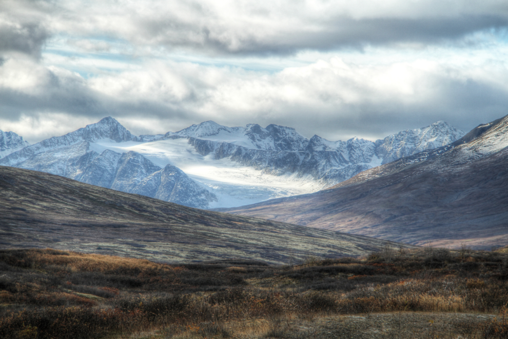
An HDR image of the view to the northwest from the Haines Summit.
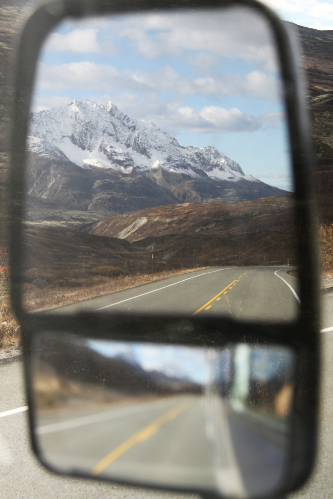
The view in the rearview mirror wasn’t bad, either!
Set up at the trailhead, ready for Friday’s major Adventure!