Hiking to the Grey Mtn cave, Whitehorse
Following up on a conversation with a friend about hiking to the Grey Mountain cave above Whitehorse when somebody who knows the way could take us, I decided on the spur of the moment this morning to go and find it myself. Vague directions resulted in me doing two hikes – this was the second one, the successful one. In order to give complete directions on one page, the first 5 photos and associated text are repeated from the previous post.
I used the Relive app to create a map/video, “Grey Mtn Cave“.
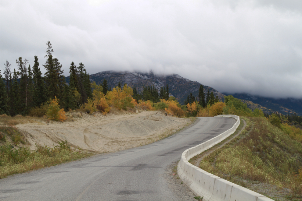
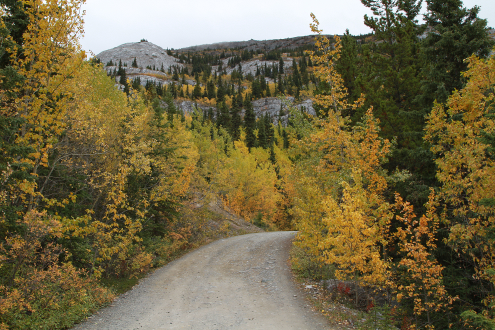
The route starts in the Riverdale subdivision in Whitehorse. Turn off Alsek Road onto Grey Mountain Road, and head up. The first photo was shot at 10:41 a few hundred meters up the road.
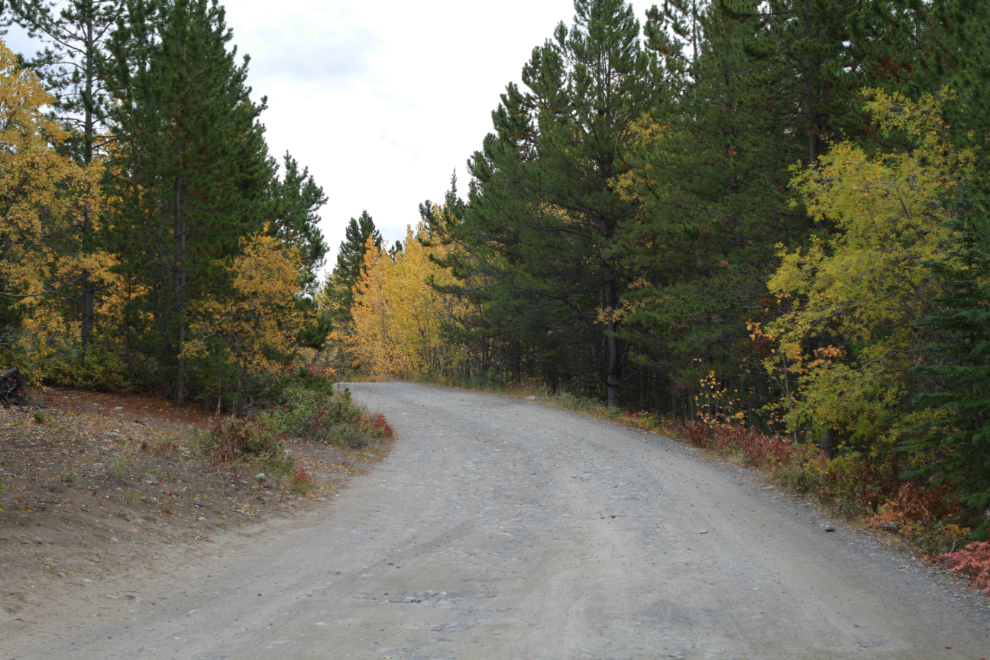
At Km 1.0 you reach the Grey Mountain Cemetery and the pavement ends. At 10:50 I reached Km 6.2 where the gravel road begins to be no longer maintained.
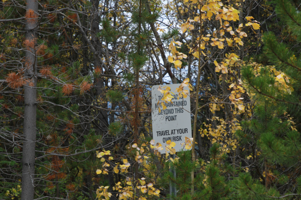
This little sign off in the trees at Km 6.2 verifies the maintenance status.
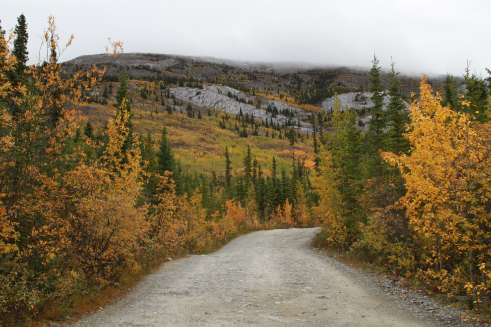
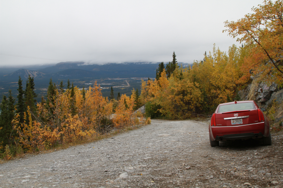
While I would have brought Cathy’s Jeep if I had planned ahead, I’ve been driving rough roads for 45 years now so know how to safely get the Cadillac up this one (or when to quit if there are surprises). The next photo was shot at 10:57.
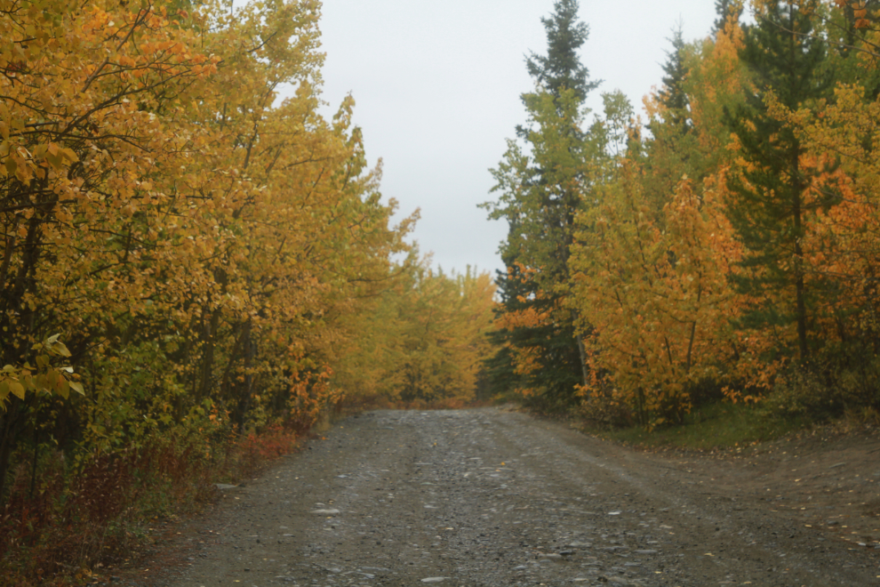
Almost at what I thought was the trailhead, at 11:01. It was the subject of my last post.
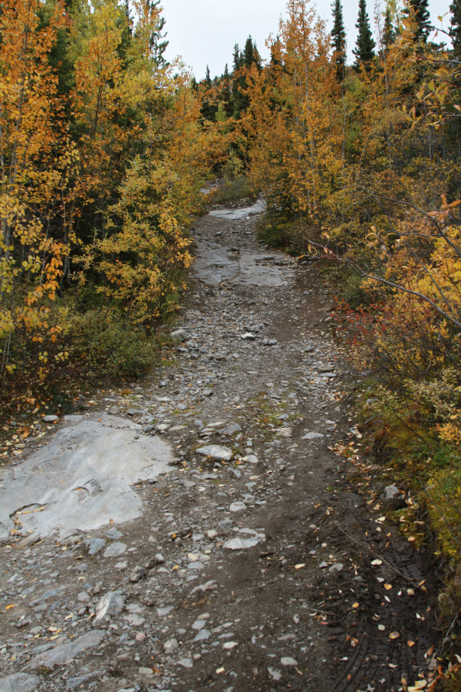
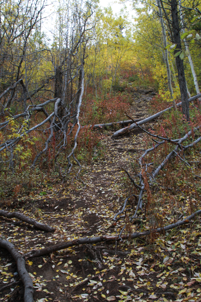
At 11:56 I parked at what I immediately knew was the correct trailhead (the lengthy time span between the last 2 photos is because that’s when I hiked the Upper Easy Money trail).
The large slabs of rock were the trail identifier for me.
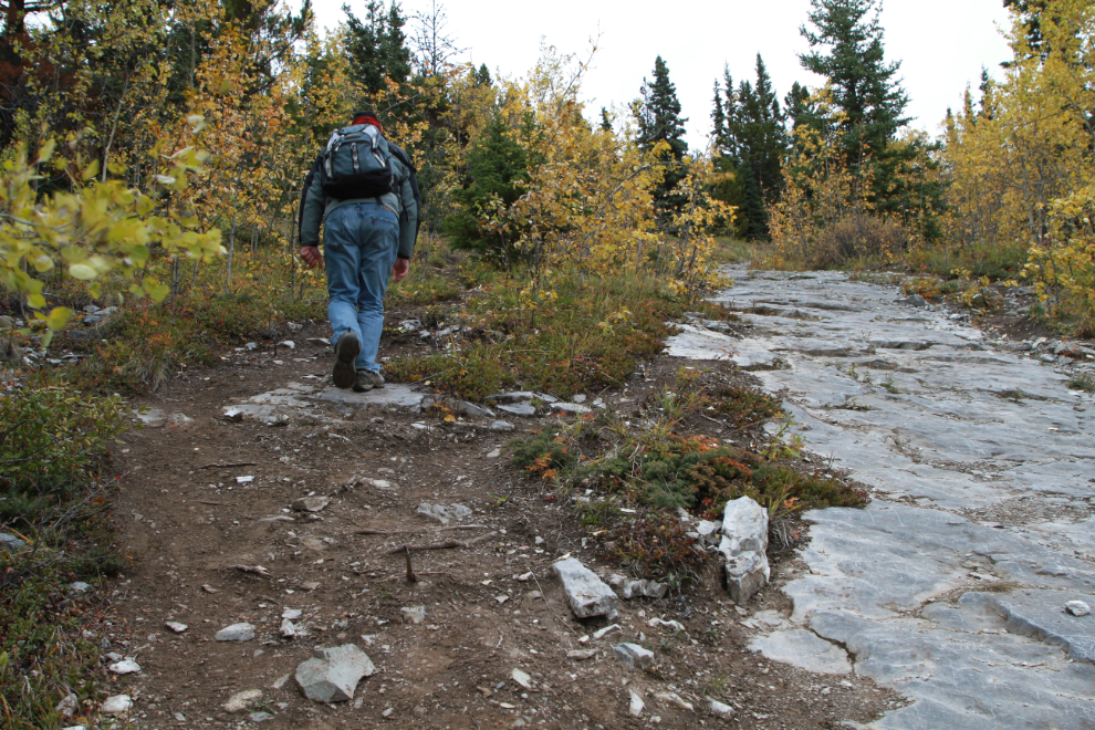
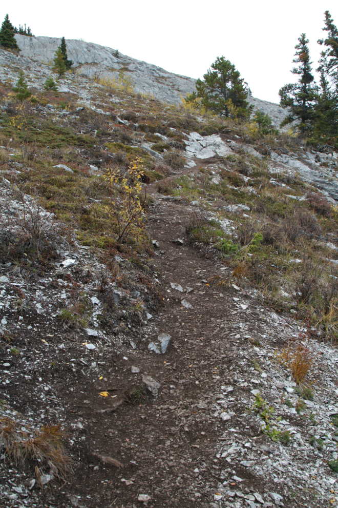
The next photo was shot at 12:06. The trail is very steep, but luckily paths have been formed along both sides of the rock, which is quite slippery even when dry.
Looking back down the trail from a much less steep section, at 12:10.
Looking up, looking steeply up, at 12:16.
By 12:24 I was getting tired, but I felt that the cave was not too far ahead, in that limestone ridge.
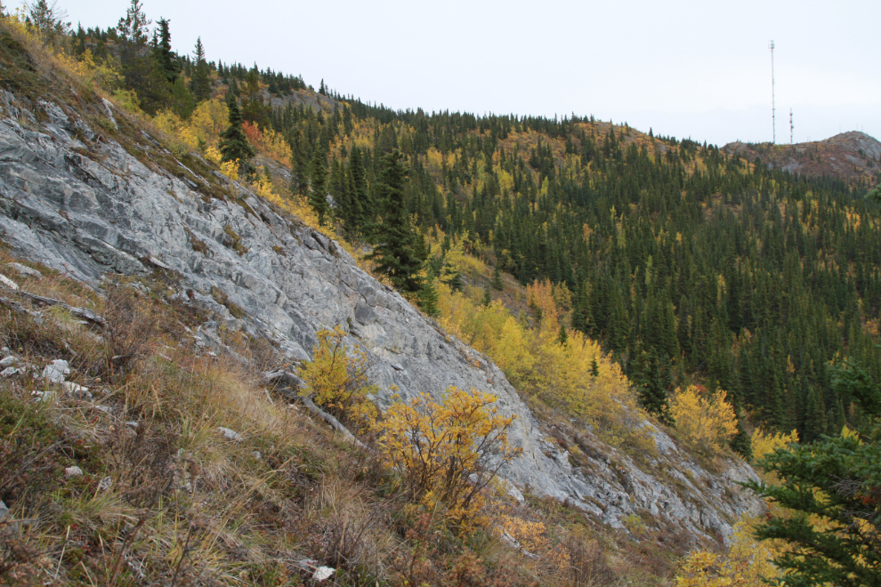
Looking across to the communications tower at 12:28.
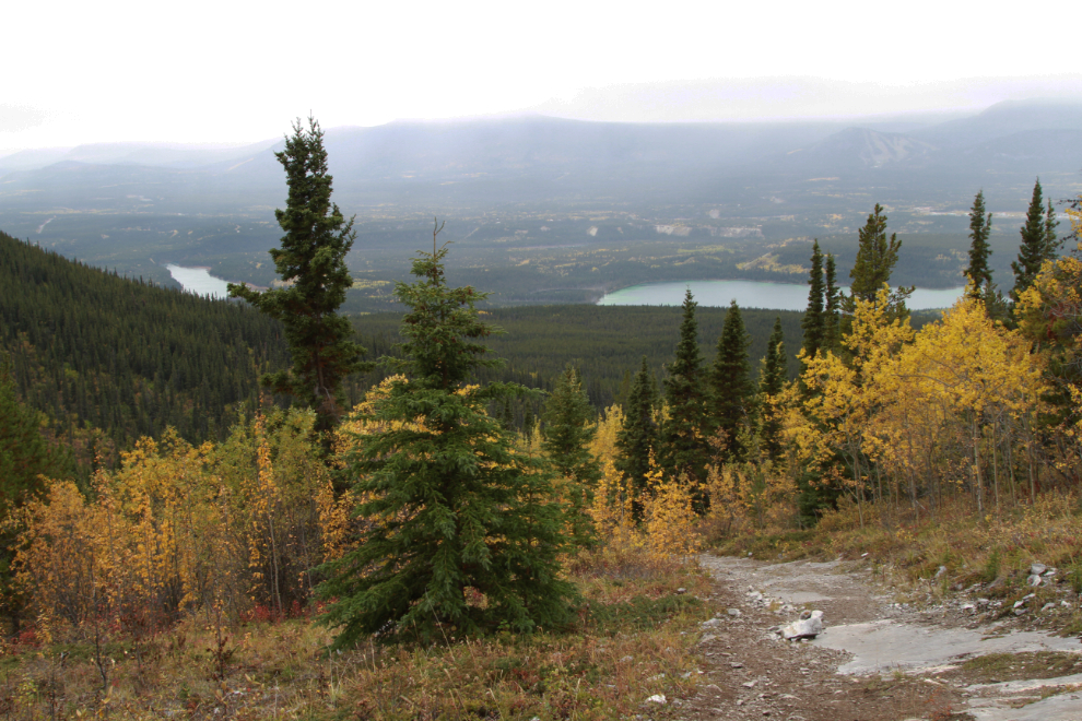
I got the first good view of the cave at 12:34.
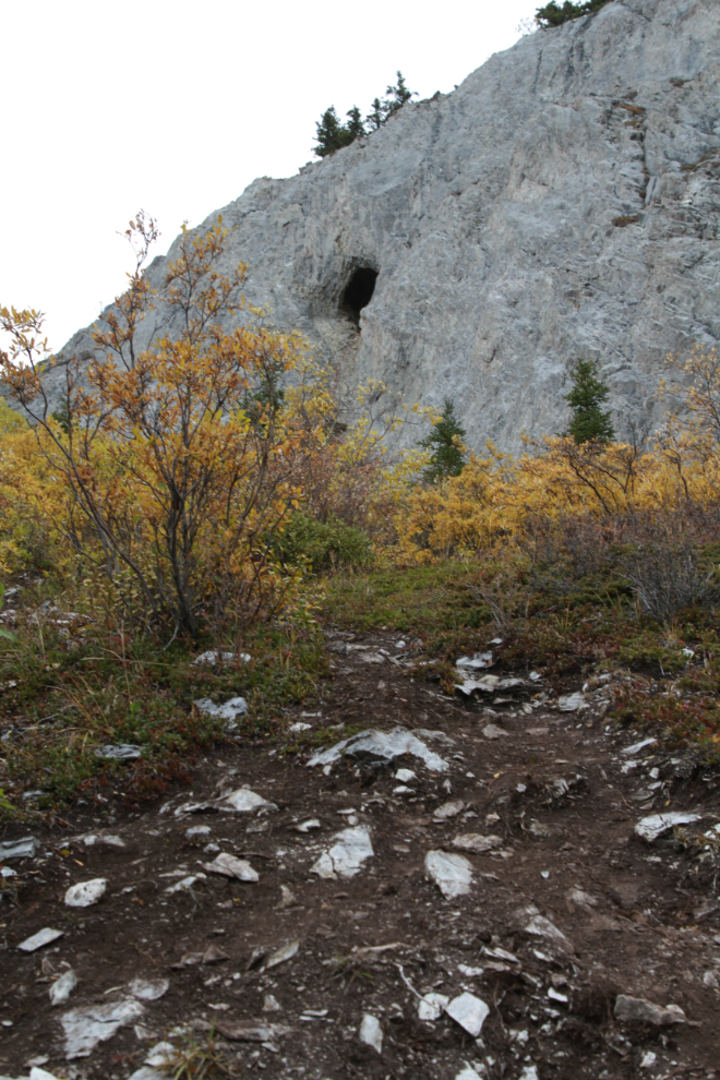
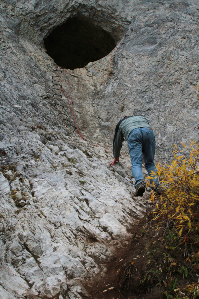
By 12:40 I’d had a bit of a rest, set up my tripod, and started an ascent towards the cave for the necessary selfie 🙂 Steel rungs have been drilled into the cliff and a rope set – I don’t recall hearing who did this, perhaps 4 years ago, but they are certainly welcome.
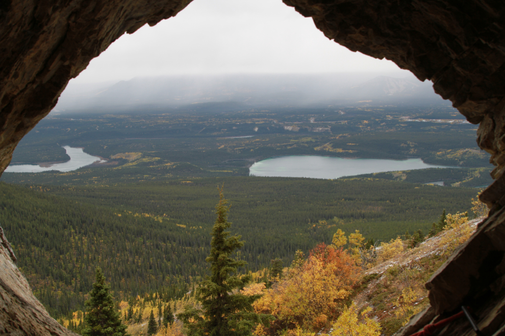
The view from the cave, which is about 7 feet high and 10 feet deep. It looked like heavy rain was falling on the oposite of the valley, so I didn’t dawdle. There are a couple of books of “stuff” in the cave, including a notebook, a geocache, and a whole lot of knickknacks of various sorts.
I got back to the car at 1:10, and within seconds it started raining. Talk about great timing!
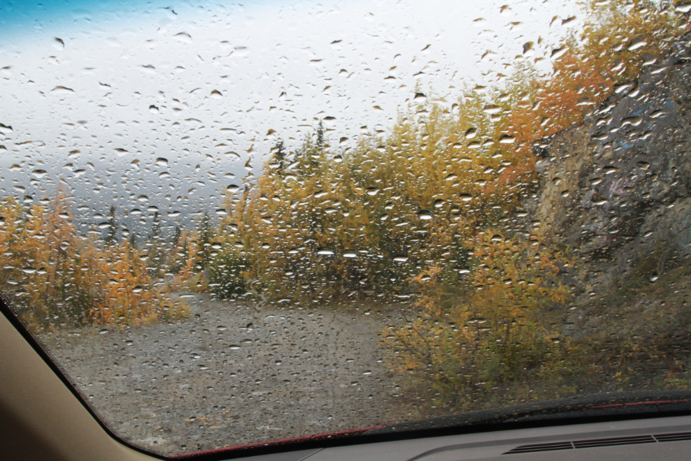
Even in the rain the Fall colours on the higher parts of the mountain were wonderful.
That was an excellent day. I finally got to what has recently become a rather iconic Whitehorse hike, and I weighed 3.4 pounds less when I got home that when I left 🙂 The weather forecast for the next few days sucks, with even snow flurries in the mix. But I have lots of stuff to do inside, so it’s okay.
This is post #1,368 since I started the blog on April 25, 2006. Of those, I’ve now rebuilt 716 of the posts into the new format, with a total of 13,251 photos.
Returning just tonight from a blustery (but unusually warm) week of car and canoe camping in NY States Adirondack Park, I also explored some ruins that had long interested me. Your views across the valley were quite enjoyable. A perfect ride for an ADV bike on a warmer and dryer day.
That sounds like a great trip you had, Brad. Most of the trails on Grey Mountain are too gnarly for me, but the upper section of the road would be great.
Nice chronicle of this hike, Murray.
Thanks, Roger.