Exploring the Campbell Highway, Day 2 – Simpson Lake to Lapie Canyon Campground
We began the second day of this RV trip – Wednesday, July 25th – with only a vague idea that the Lapie Canyon Campground just past Ross River would make a good overnight stop. But I was open to pretty much anything.
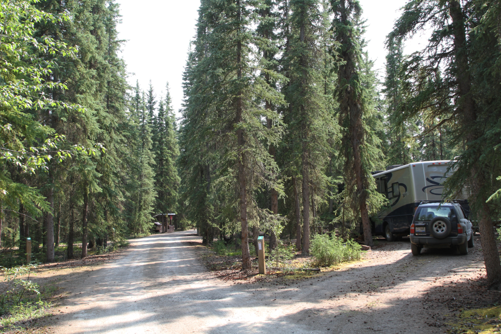
We spent the night at a pullout at Km 92 of the Robert Campbell Highway, and by 08:00, we had been on the road for a few minutes and had reached the junction with the Nahanni Range Road.
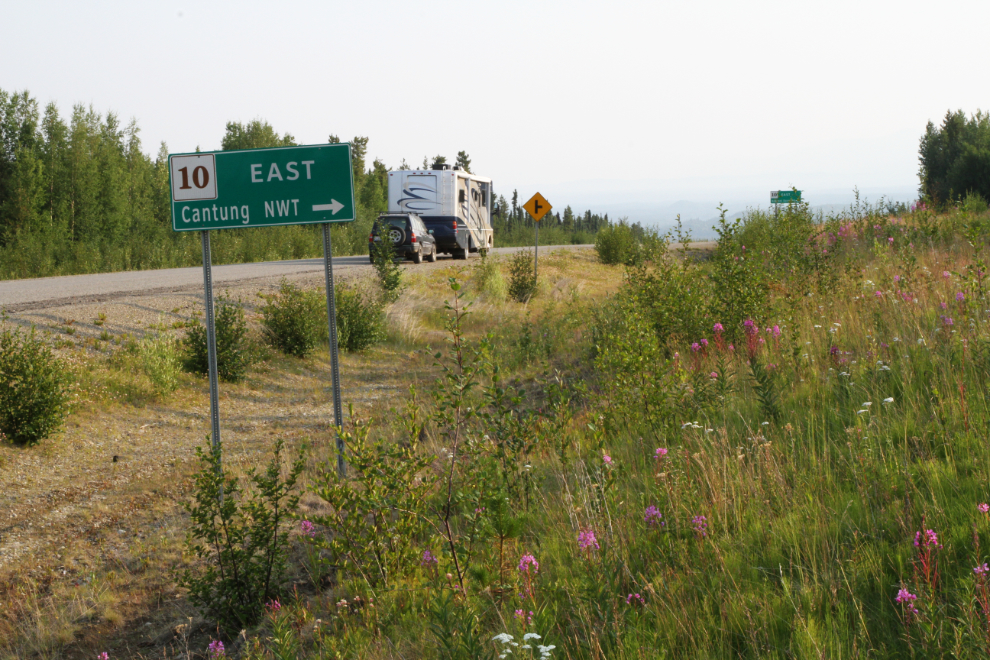
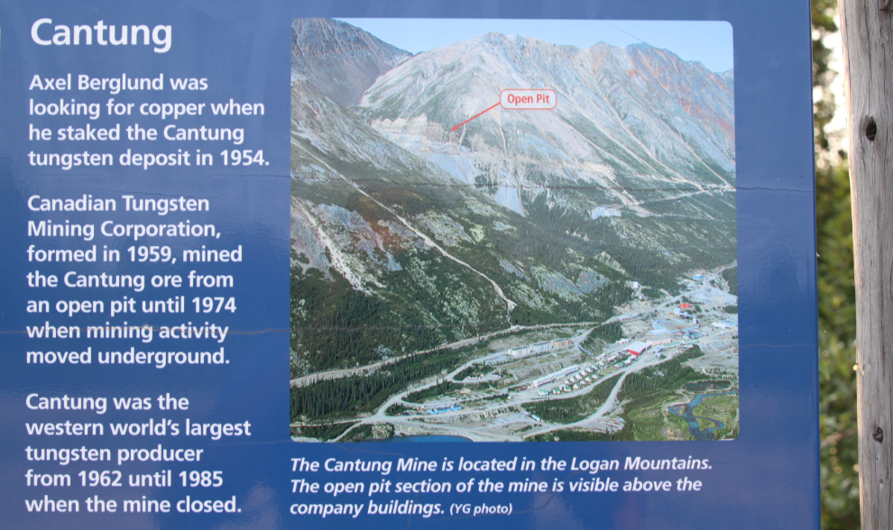
The Nahanni Range Road was built in 1961 to access the Cantung tungsten mine, which from 1962 until 1985 was the largest tungsten producer in the western world (most tungsten mines are in China).
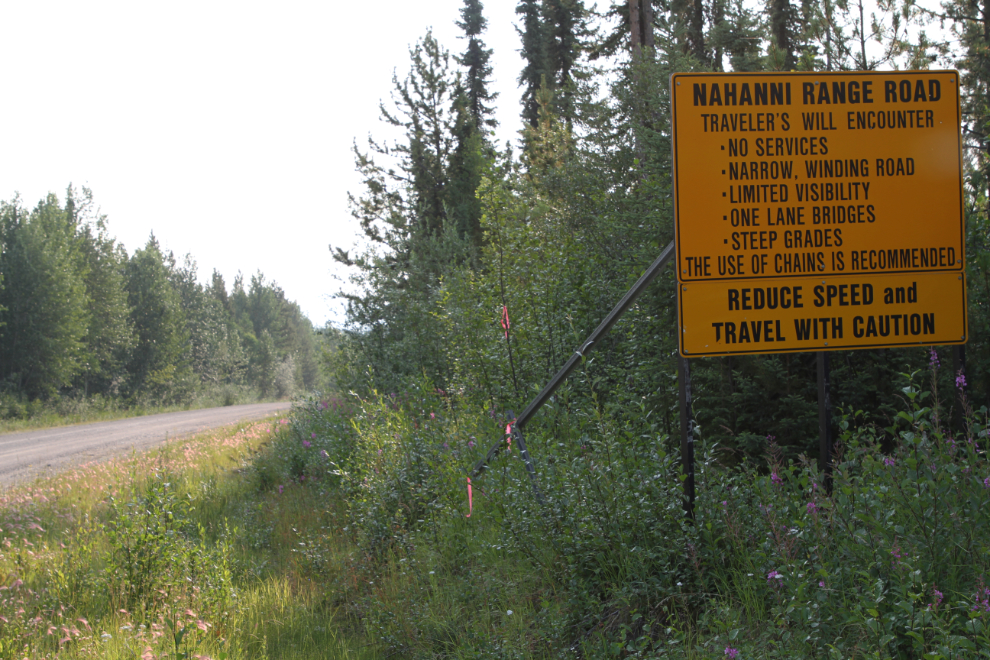
We spent quite a while at the rest area at the Nahanni Range Road junction as I tried to decide whether or not to take the Tracker up for a look. It’s about 192 km (120 miles) to a reported security gate before the town of Tungsten, the Canadian Tungsten company’s town for the Cantung mine. The mine last opened briefly in 2004. The road sign in the next photo was my minor annoyance of the morning – American spelling of traveller and improper use of a possessive – geez! 🙂
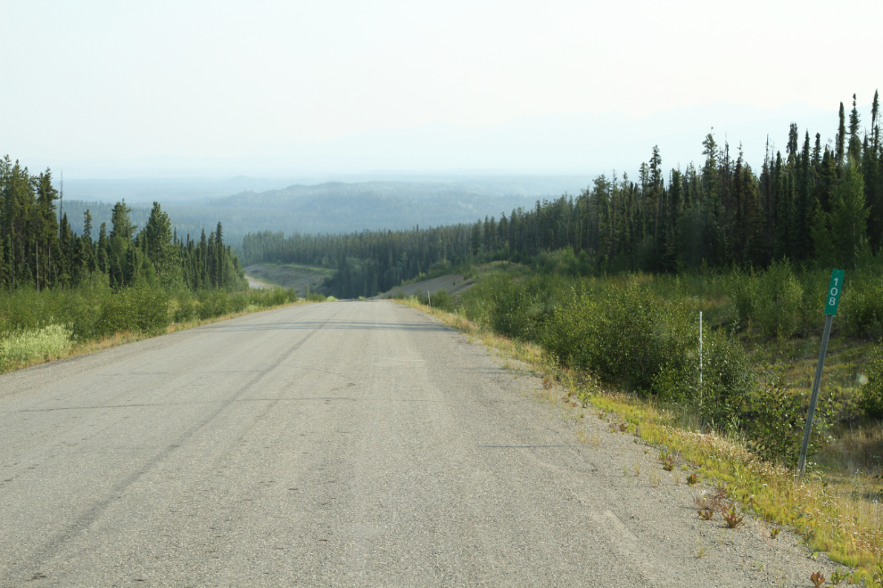
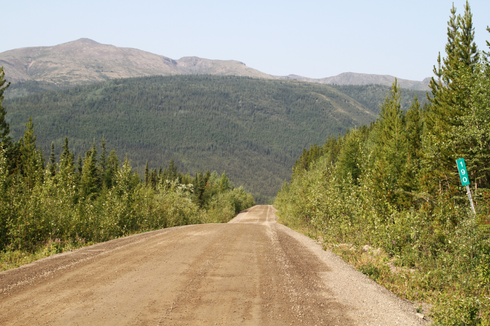
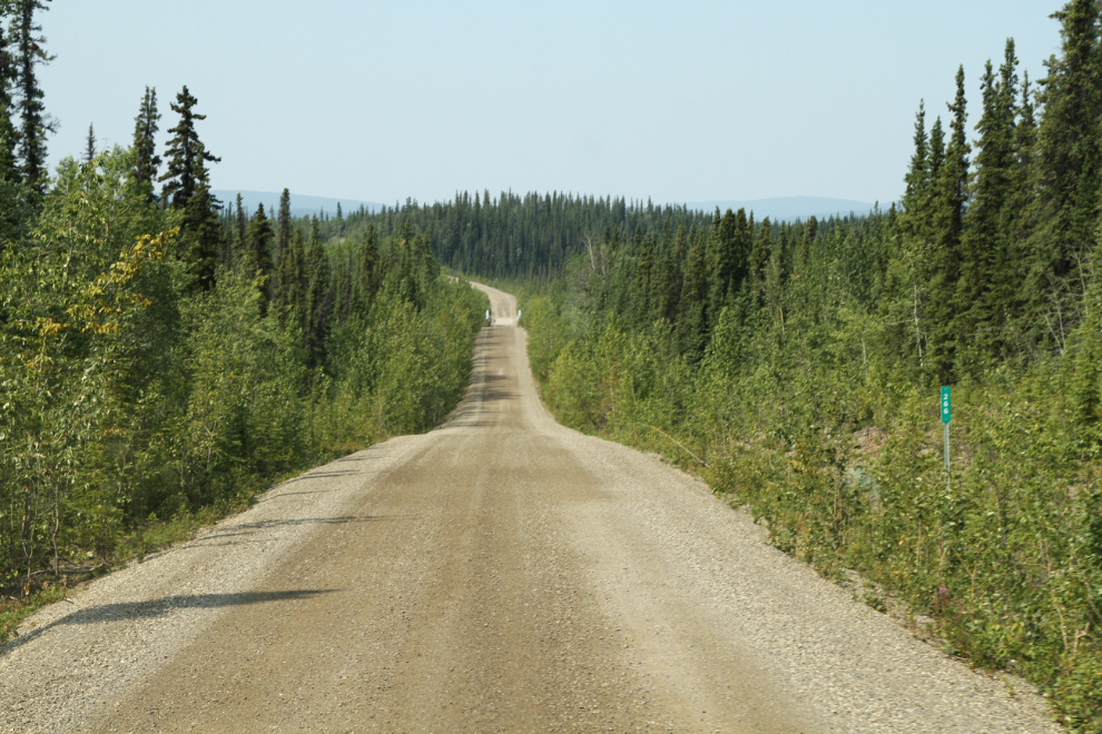
I eventually decided to continue west on the Campbell Highway, due to a shortage of time and excess of wildfire smoke. There are only 2 main roads in the Yukon I haven’t driven – the North Canol and the Nahanni Range Road. That’s a pretty short Yukon Bucket List 🙂 The next photo was shot right at Km 108 of the Robert Campbell.
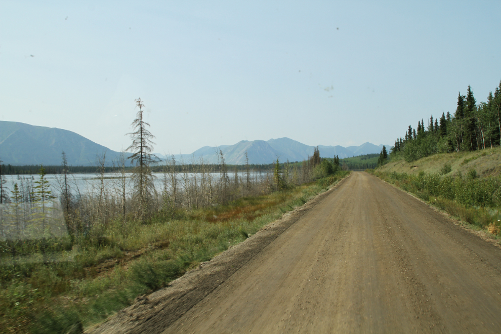
At Km 113.8, almost 300 km of gravel road began. It was generally in good condition, and 80 km/h (50 mph) was a comfortable speed most of the time.
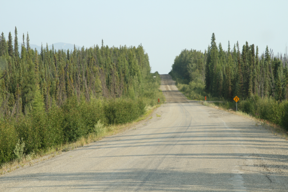
For the next photo, shot at Km 124.5, I tried HDR to compensate for the smoke, but I wasn’t very happy with the result so went back to normal shooting.
Km 126.8
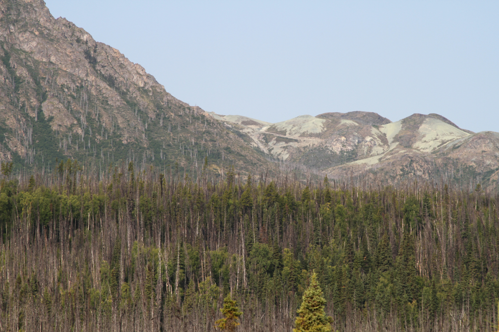
At Km 134.1, signs of an old mine, or mining exploration project, could be seen high on a peak to the west. Whatever it was, it doesn’t seem to have gone into production.
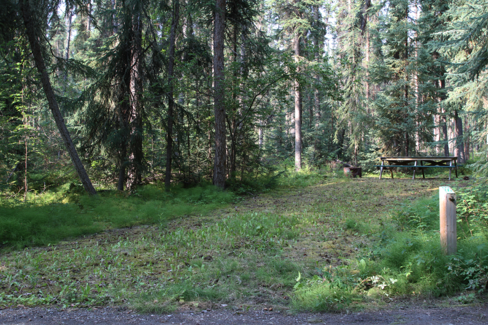
One of the main places along the Robert Campbell Highway that I was looking forward to seeing was the Frances Lake Campground, though I don’t really know why.
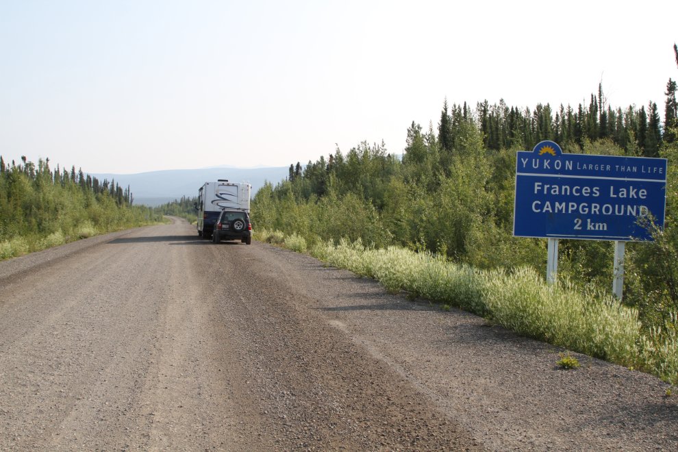
The campground is a couple of kilometers north of the highway.
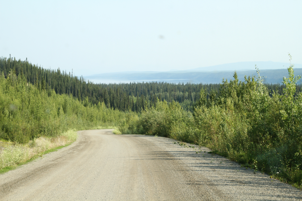
It turned out that I had good reason to be looking forward to seeing it – it’s beautiful, with about 10 campsites right on the lake shore!
All of the lakeshore sites were occupied, and it looked like the sites that aren’t on the shore rarely get used. Most of the campers had boats of various types.
Large gravel beaches like the one on this part of Frances Lake aren’t at all common in the Yukon interior – most have vegetation (usually grasses or willows) growing right to the water.
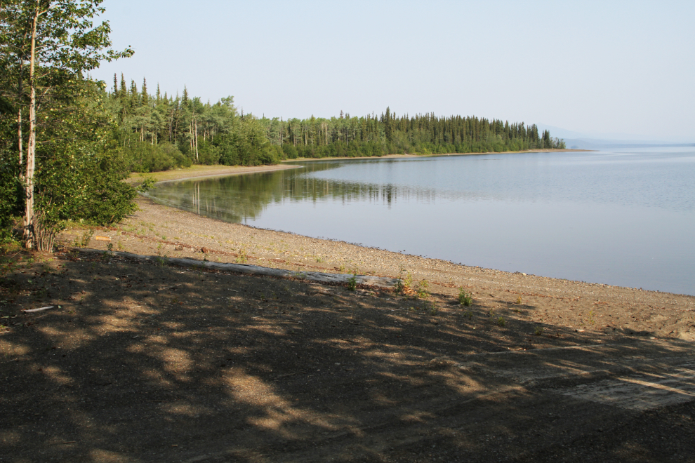
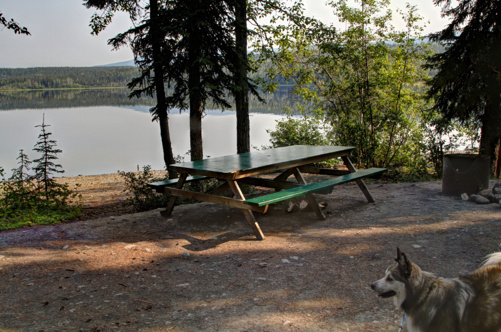
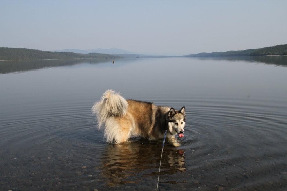
The beach even sloped very gradually – perfect for Bella and Tucker to wade in.
If not for the fact that it wasn’t yet 10:00 am, I might have gone for a dip myself and then stopped here for the night, as 2 of the lakefront campsites were vacated while we were exploring.
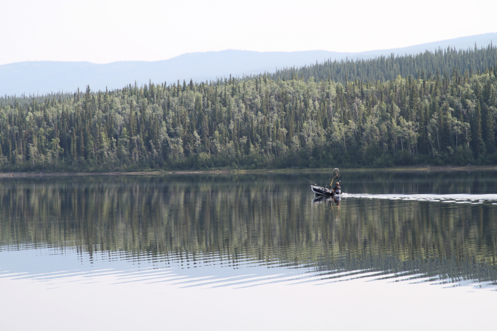
A very well-equipped boat headed west across the lake. Frances Lake is a conservation water – only barbless hooks can be used, and the daily limits and possession limits are both 2 lake trout, 4 grayling, and 4 pike.
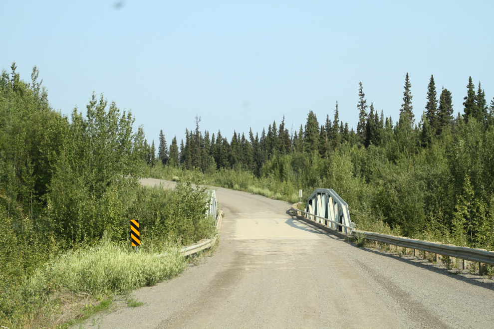
We spent about 3/4 of an hour at Frances Lake, then continued on our way. The bridge in the next photo crosses Money Creek, named for Anton Money, who mined for gold in this area in the 1930s and ’40s.
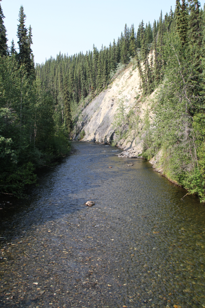
A glance up Money Creek as we crossed over the bridge caused me to pull over and walk back for a photo.
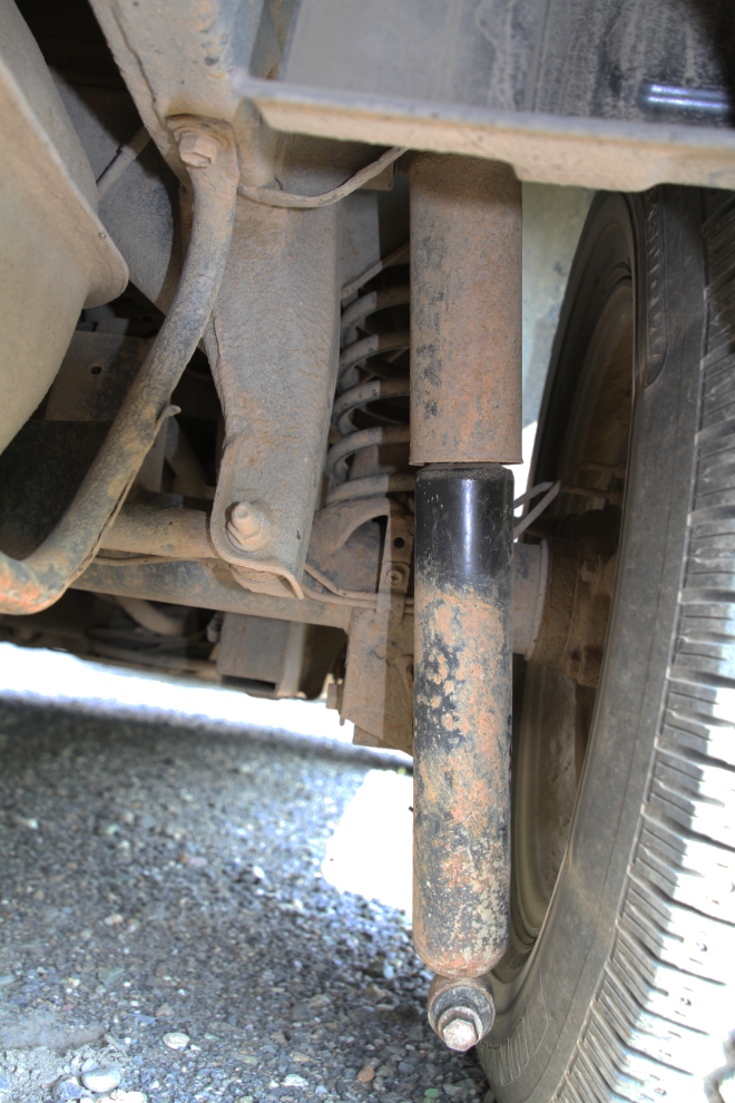
Walking back to the motorhome, I noticed something not right under the Tracker. The lower mounting bracket for a rear shock absorber had broken. I decided that the dangling shock absorber couldn’t cause any further damage – the tire being the main worry. I’d remove it or stabilize it that night.
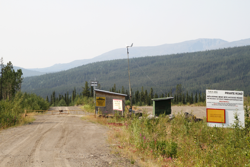
Right at Km 190, I braked to a sudden stop…
…because on the left was the old access road to Yukon Zinc’s Wolverine Mine. It operated from 2011 until 2015, and reclamation work is currently being done.
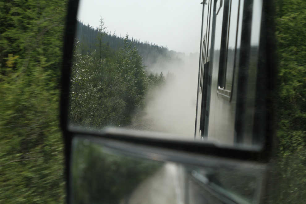
There was virtually no traffic on the highway – about 1 vehicle per hour, and half of those were Department of Highways trucks. The next photo shows the view in my rear-view mirror much of the time – any traffic would certainly be spaced far apart!
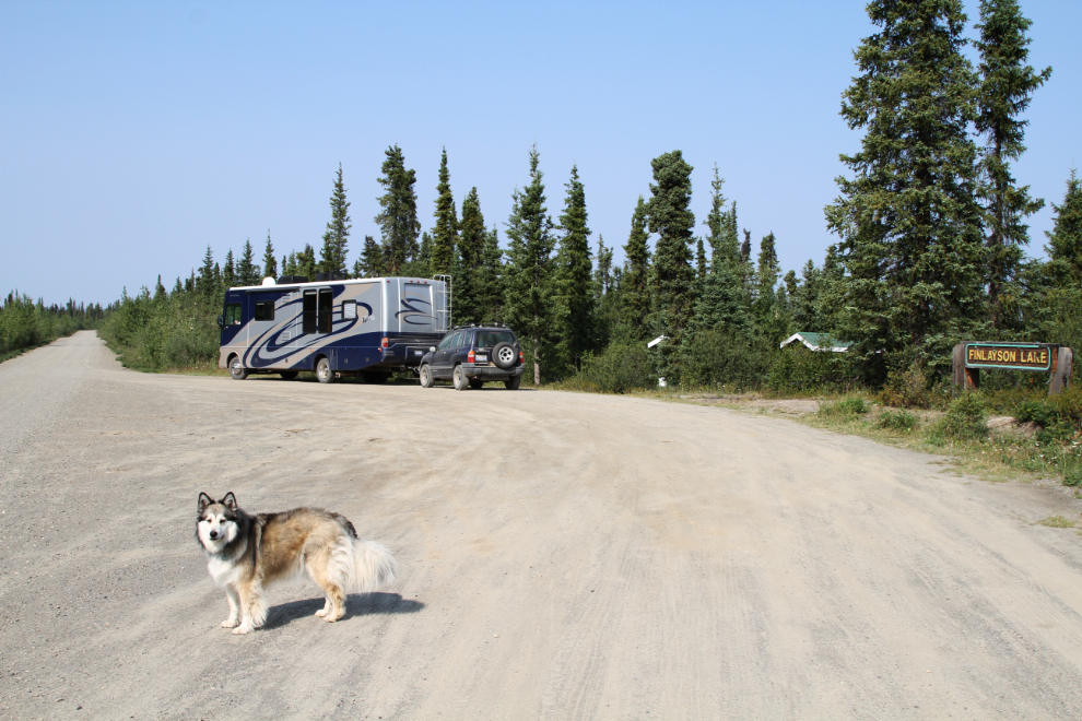
At Km 230, the road to the right goes to a float plane base on Finlayson Lake, and the one to the left goes to the Kudz Ze Kayah mining exploration project.
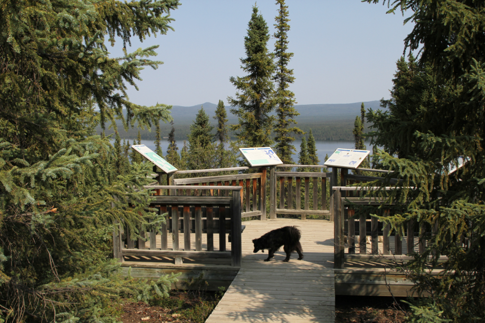
A large rest area and viewpoint over Finlayson Lake at Km 233.1 was cause for a lengthy stop for a dog walk and lunch.
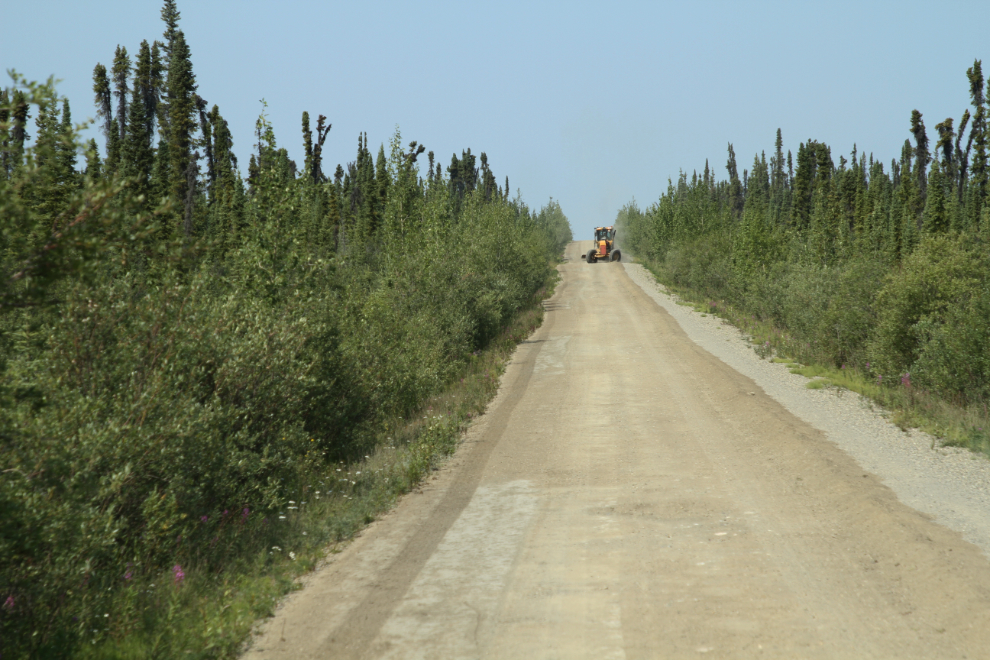
Just after leaving the rest area, I met an oncoming grader. As I was trying to figure out how that was going to work, he ducked into a tiny pullout.
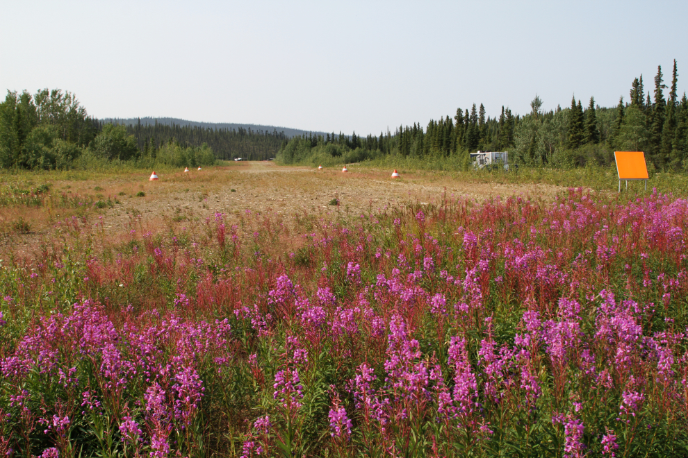
The Finlayson Lake airstrip beside the highway at Km 246.2 was a good excuse for a short walk. A Turbo Otter was sitting at the far end, but I wasn’t feeling 2,100 feet worth of energetic 🙂
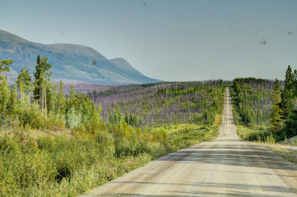
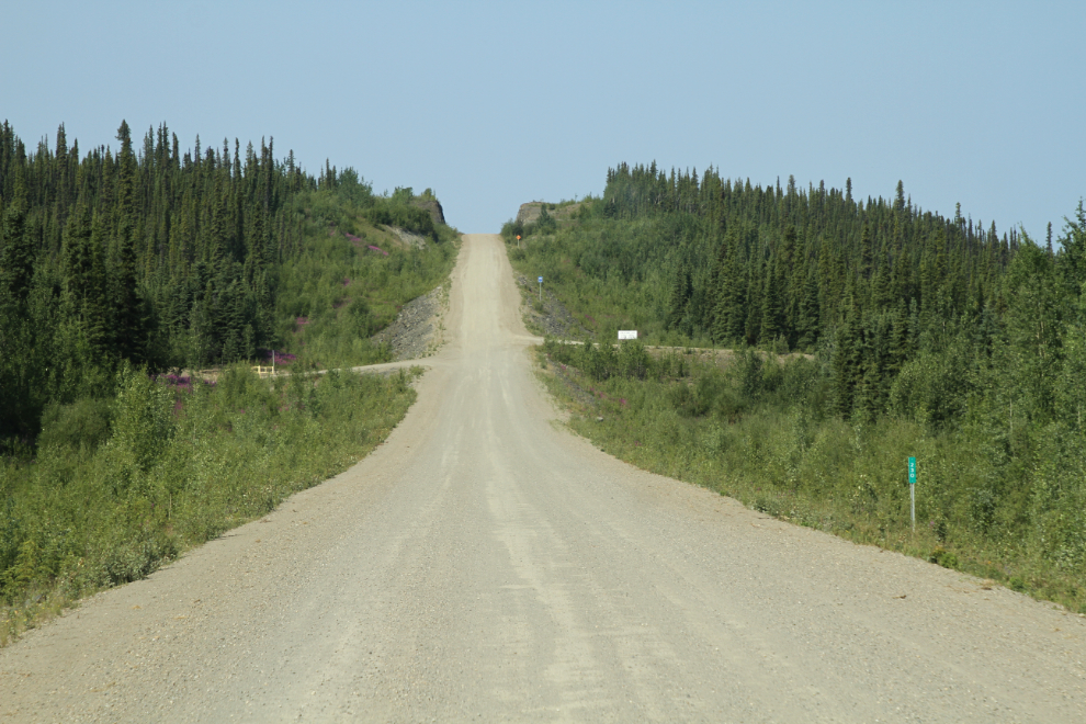
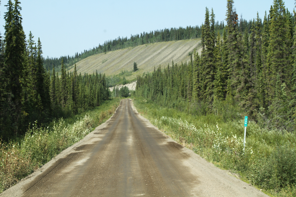
I was surprised by how much the highway varied. Here at Km 266 it was narrow and vegetation crowded the road, while other sections of the road were wide with wide cleared areas along it.
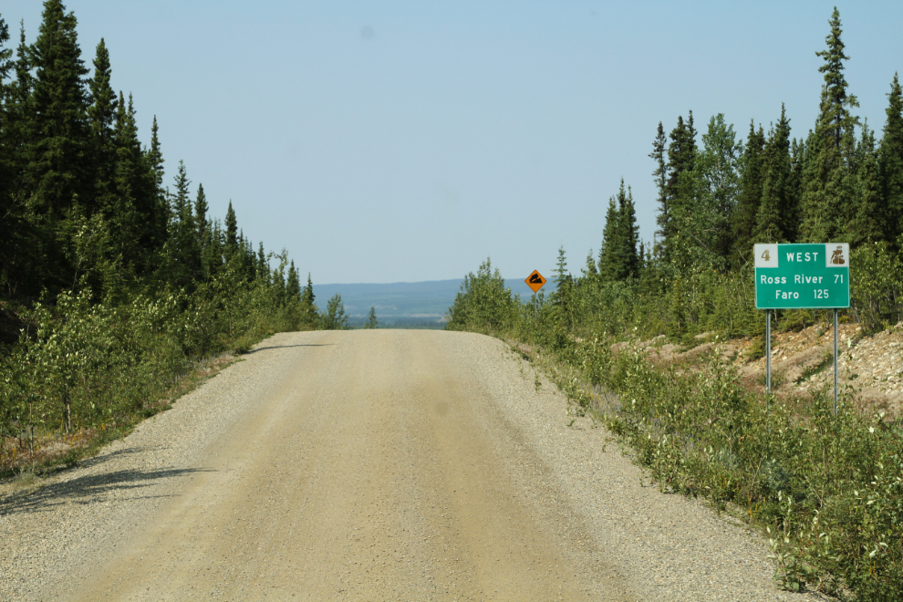
At Km 301.4 we only had an hour left to the campground – the sign shows 71 km to Ross River and 125 km to Faro.
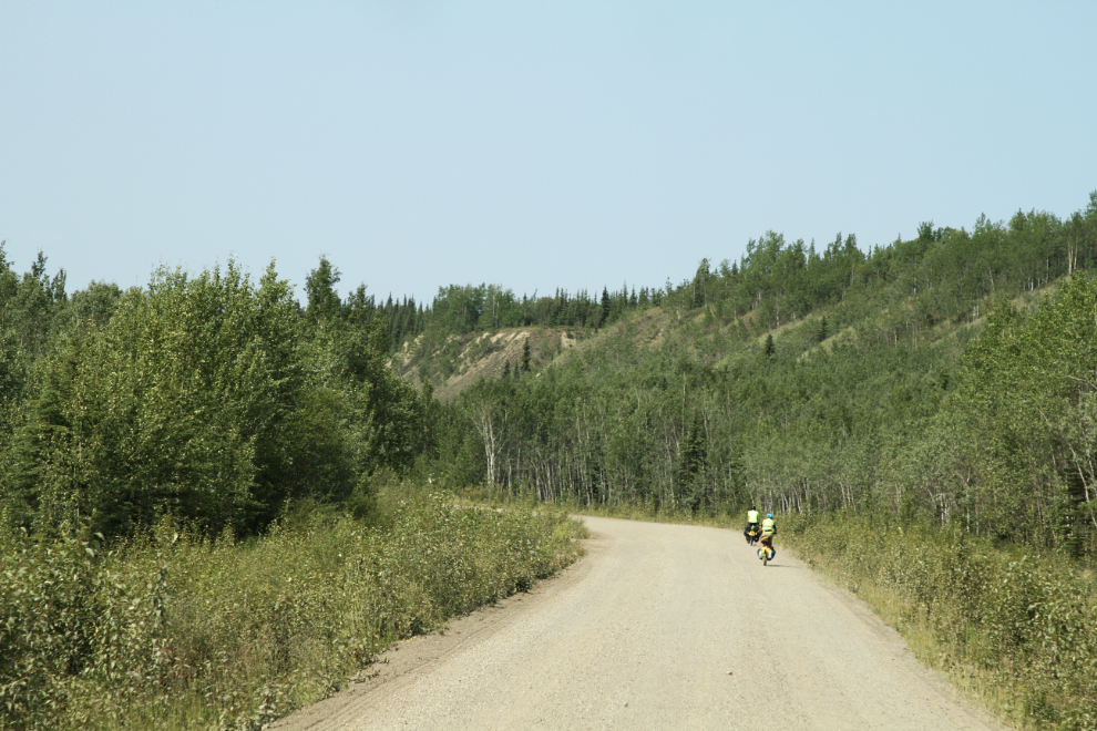
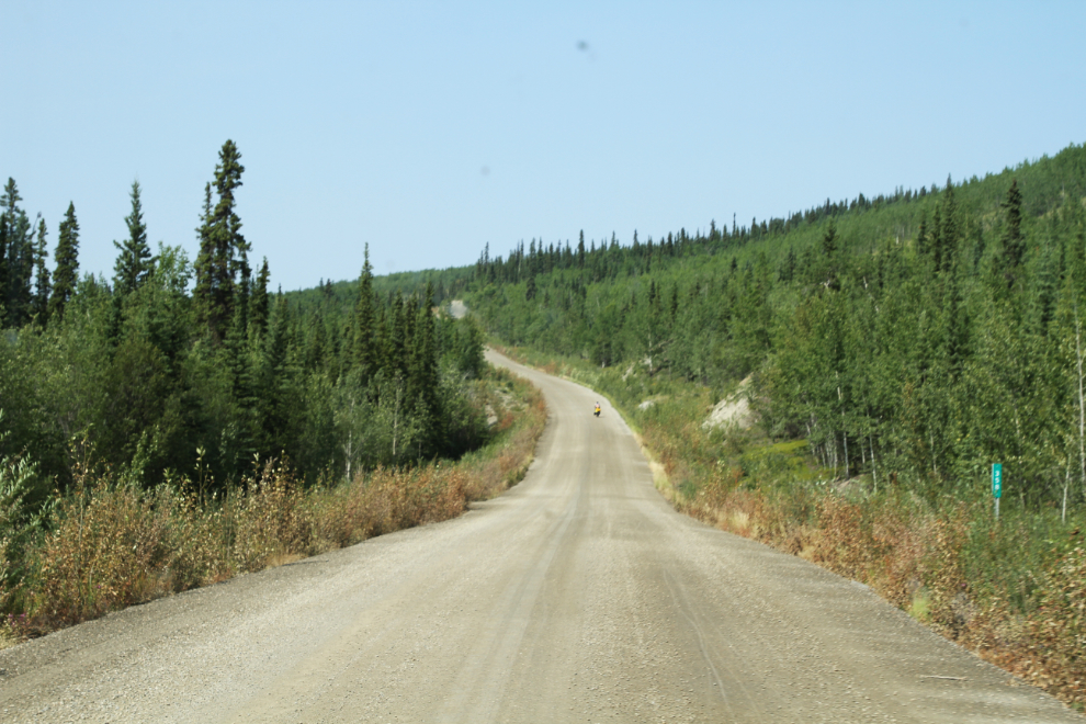
Of all the things I didn’t expect to see on the Robert Campbell Highway, bicyclists would be near the top of the list. Choking dust for hundreds of kilometers – are we having fun yet? Oh well… There turned out to be 14 of them, spaced out over nearly 20 km of highway.
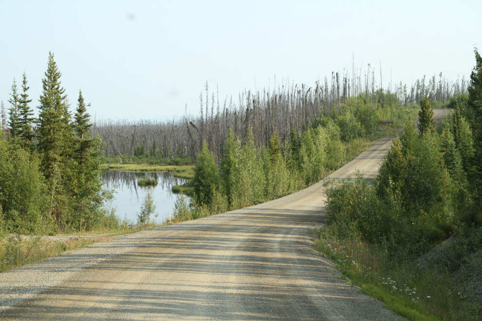
At Km 348, nearing the popular recreation lake Coffee Lake, the gravel was treated to eliminate dust. The road was treated in a few other places as well, but this was the first location where I could understand the reason for it.
Coffee Lake was overfull and very close to the highway in a couple of places, but judging by the dead trees, it has been for a long time.
At Km 358, another bicyclist was starting up a brutal hill. And it was hot – about 28°C.
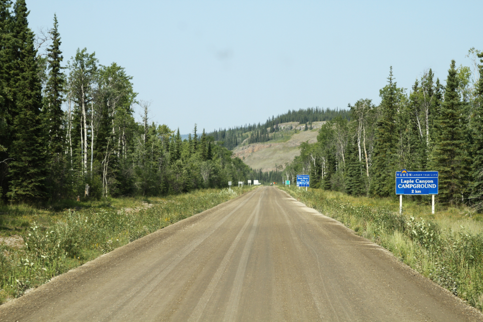
At 2:20, Lapie Canyon Campground was just 2 km away. A nice relaxing afternoon would be great.
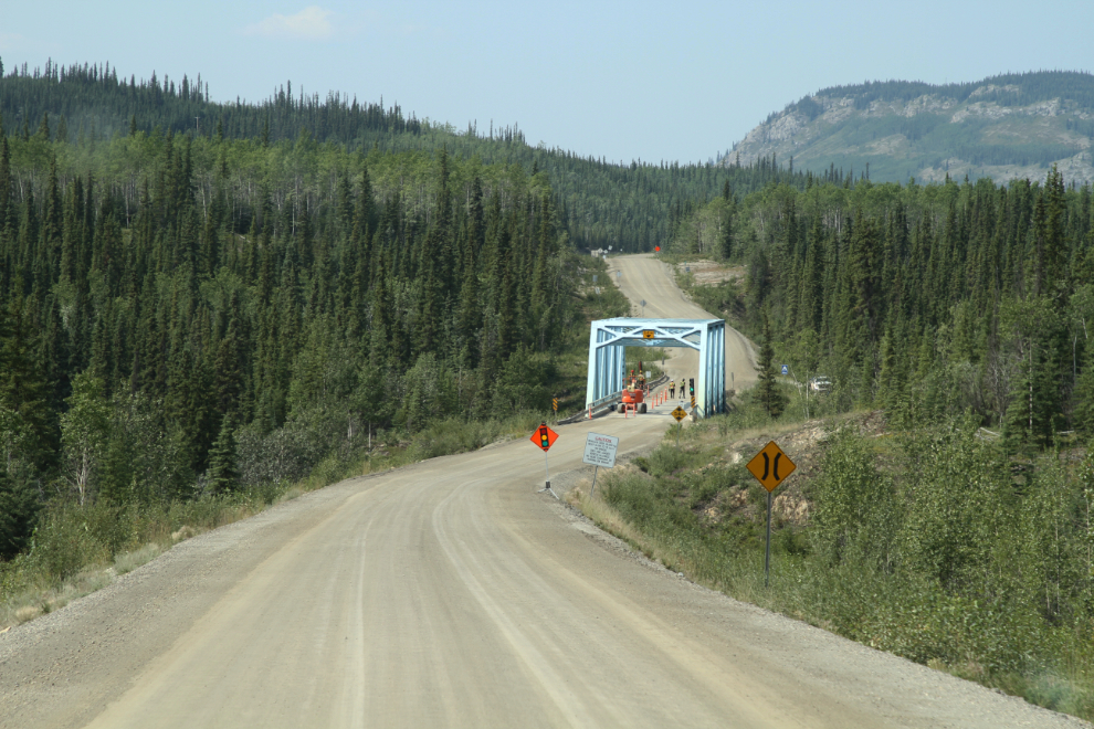
The bridge that carries the Robert Campbell Highway over Lapie Canyon was having some minor work done.
A few minutes later, we were set up in campsite #5. I’ll continue with a description of the Lapie Canyon Campground and my trip into Ross River in my next post.