RVing BC’s unknown corner: the White Pass
This post was originally written for Destination BC. When their blog was closed, I re-posted it here under the same date. It’s an introduction to the White Pass rather than my usual reports on a specific trip.
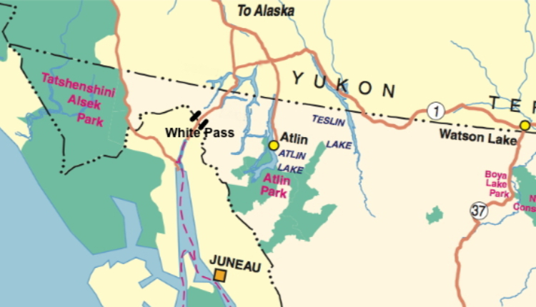
In the furthest northwest corner of BC is an area of spectacular wilderness that few people visit, and many of them don’t even know that they’re in BC. That’s not surprising, since all 3 highways through the area, the Atlin Road, the South Klondike Highway, and the Haines Highway, are only road-accessible via the Yukon Territory.
For wilderness enthusiasts, the recreation opportunities are virtually unlimited. I’d like to start a series of posts about this region by showing you the White Pass, located near the south end of the South Klondike Highway, 24 km (15 miles) north of Skagway, Alaska. If you were to rent a car at the Vancouver airport, it’s a 2,470 km (1,535 miles) drive to the White Pass via the shortest route!
There are no campgrounds in the White Pass, but there are several large pullouts including one rest area at Km 25.1 of the highway that has a stunning view. In early July, I camped at that rest area for 3 nights. The nearest campgrounds are in Skagway, 24 km (15 miles) south, and Carcross, Yukon, 82 km (51 miles) north. The Yukon government, however, is currently building a campground at the ghost town of Conrad, 66 km (41 miles) north of the pass.
Despite being beside the highway, the rest area and pullouts are quiet, legal places to camp – there’s little traffic during the day, and none at night, as the border crossing into Alaska is closed from midnight until 7:00 am.
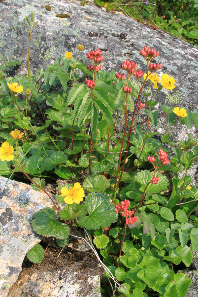
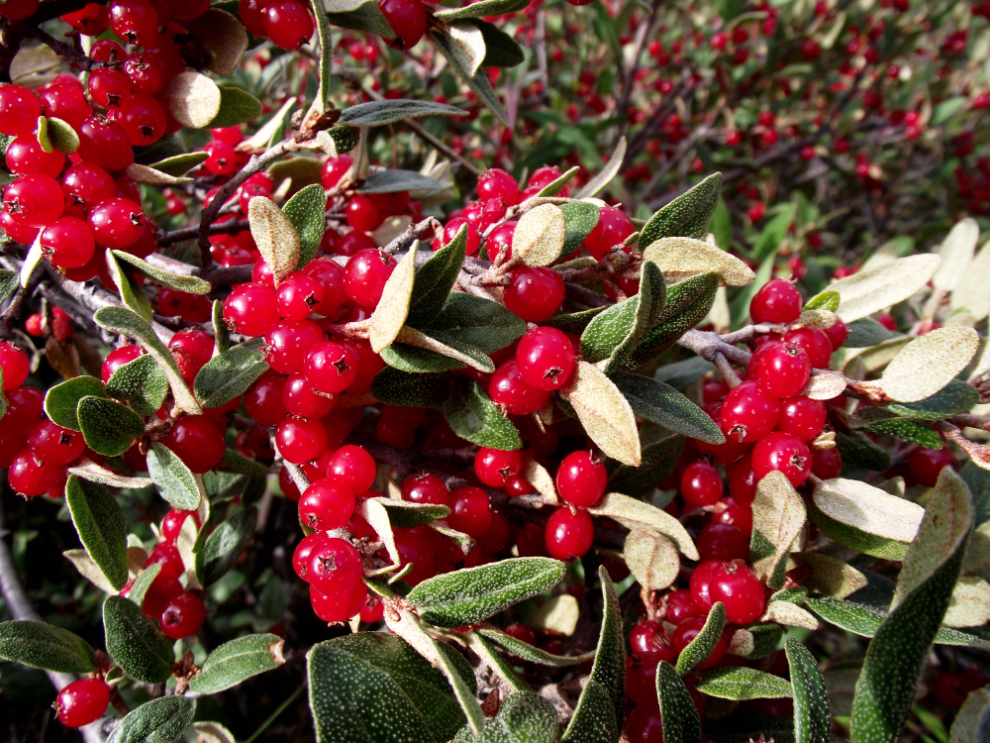
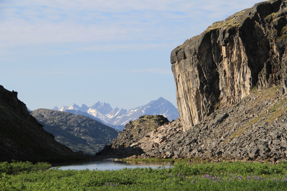
The White Pass at first glance is a barren world of granite and countless lakes. But look close – in the middle of the short summer, many species of wild flowers, mosses and lichens carpet every bit of soil. To see some of them, you have to be on your knees – exploring the alpine can be a unique experience for people. I’ve spent a lot of time in the White Pass over the past 25 years, and this year seems to be particularly bountiful, perhaps because of an extremely warm May that melted the snow early and then a rather wet June.
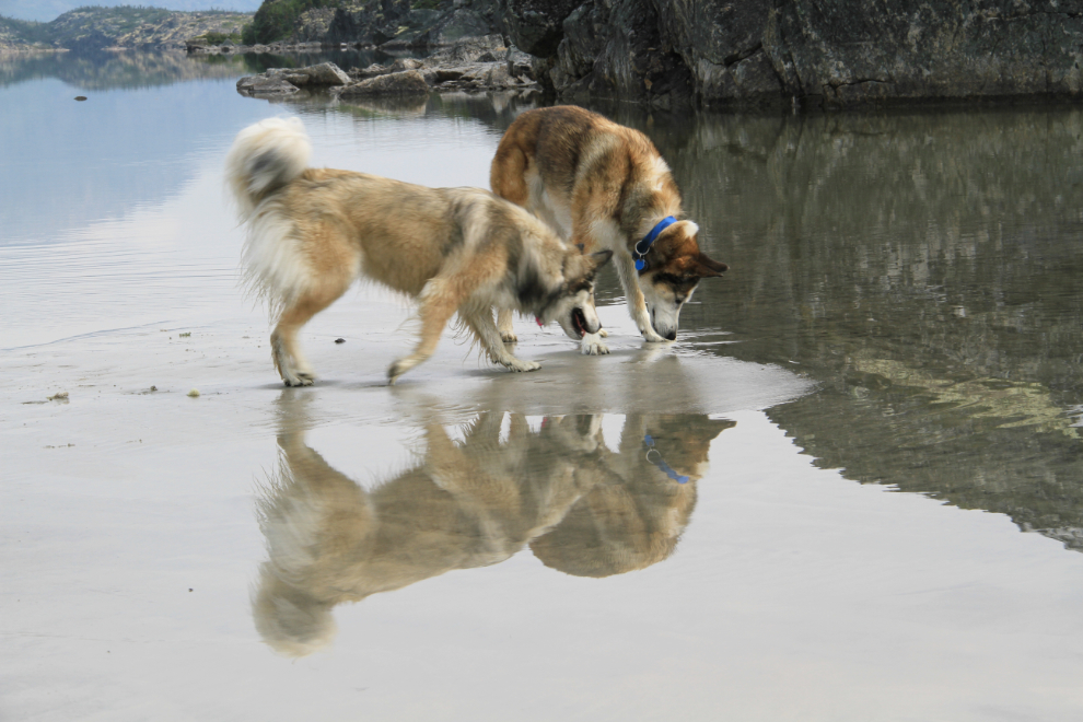
Although much of the White Pass’ attraction is the backcountry, roadside beauty and fun is plentiful as well. Summit Creek is just 4.2 km (2.6 miles) north of the rest area, and a short walk across the granite from either of the 2 large parking areas gets you to a beautiful large, fine-sand beach where the creek empties into Summit Lake. My dogs, Bella and Monty, love exploring this beach and playing in the shallow water, and it’s rare to see anyone else on it.
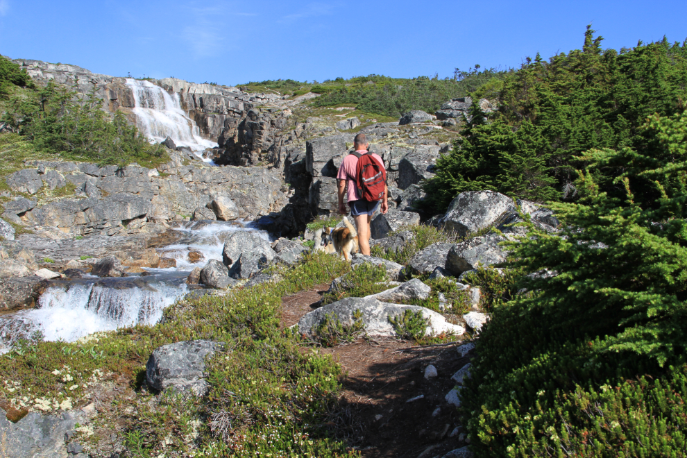
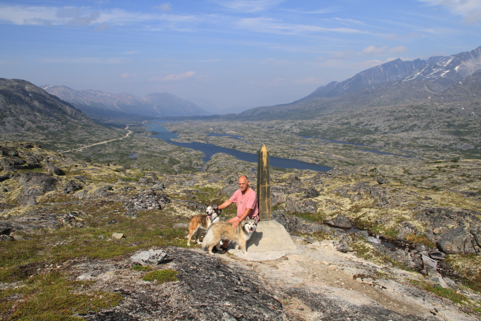
There are no official trails in the White Pass, but there are 2 fairly well-used trails, one at International Border Falls, the other leading to Bryant Lake, high above Fraser, where the Canada Customs (CBSA) and the Department of Highways are stationed. Both of these trails lead to amazing glacier views and are superb for either day trips or multi-day ones.
The International Border Falls trail starts with a steep descent from a large pullout on the highway at Km 24.3, then leads gradually along the creek which has more or less continous waterfalls and cascades to a series of lakes on the Alaska side of the border at an elevation of about 1,250 meters (4,100 feet). There is no border security here – the Customs posts are several kilometers north and south of the actual border, down where the winter weather isn’t as severe.
This is a trail that is hard to turn back on. Regardless of what your plans were when you started, the views just keep getting better and better – you may well find as John Muir did in Yellowstone and I often do on this trail that “the mountains are calling and I must go”. Although we didn’t hike very far on this outing, we have gone to the lakes and far beyond. From the furthest-west peak, seeing a wall of glaciers ahead and the world-famous Chilkoot Trail below is a memorable sight.
The trail to Bryant Lake begins across the highway from a large pullout at Km 35.2. A wide trail leads to an old road that was used to create a small earthen dam that enlarged Bryant Lake to provide water for Fraser, then a rough trail leads around the lake.
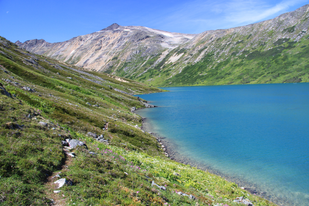
The west end of Bryant Lake offers wonderful camping locations, and the huge very shallow area seen below that warms up almost to the point of making the glacial water swimmable. Almost. Beyond the lake, a wide grassy valley may entice those with time and energy to continue on, though there is no trail.
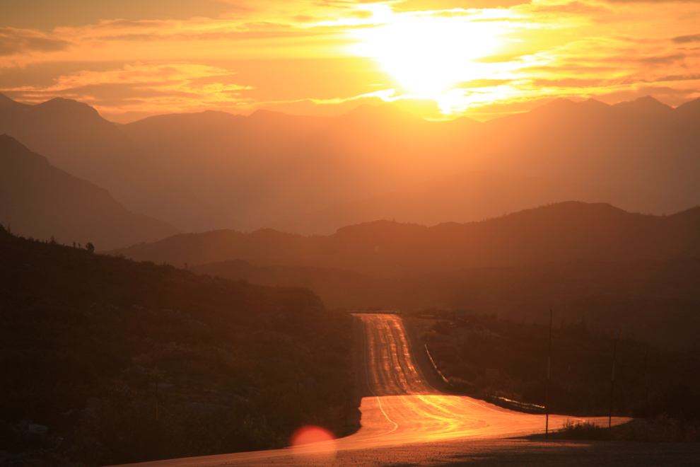
The White Pass isn’t just for working up a sweat, though. With nobody on the highway for hours every day, the very early sunrises and very late sunsets offer wonderful opportunities to just relax in a deck chair outside the RV and be thankful that you’re able to be in a place like this. A large number of forest fires in Alaska caused some incredible colours while I was there – the sunrise in the unaltered photo below was shot at 05:20.
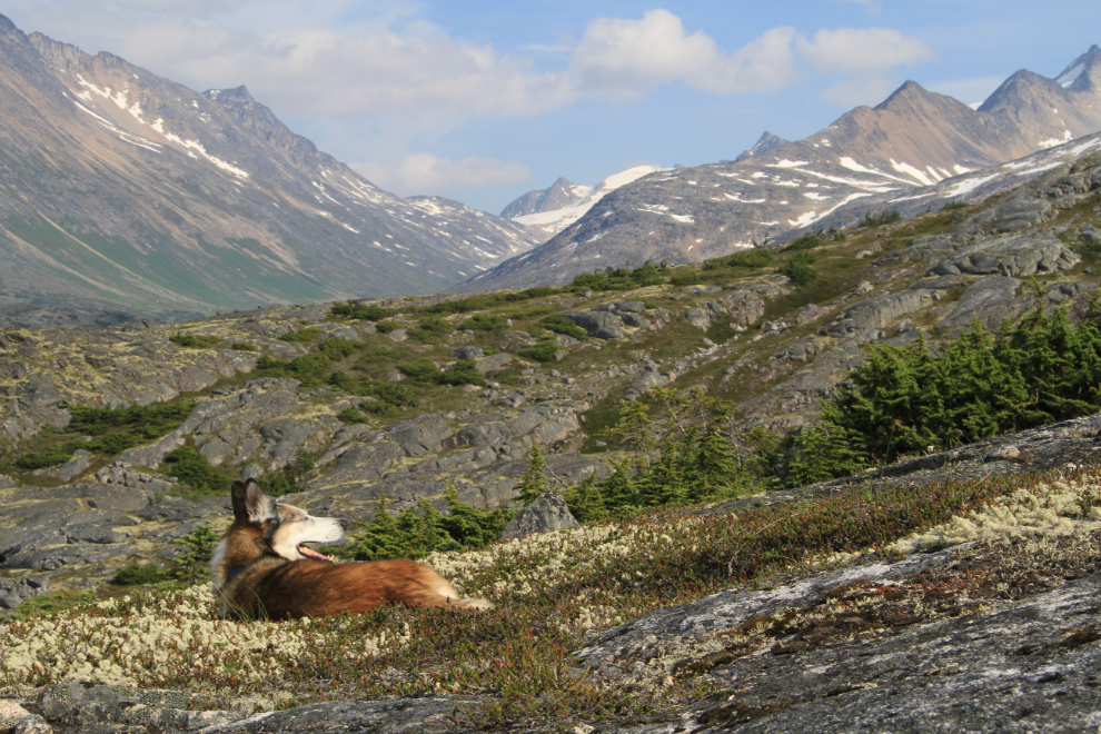
Off-trail hiking is not for everyone, but I love it, and could hike a new route every week for years in the White Pass. On this latest visit, a friend from Alaska and I hiked along the BC/Alaska (Canada/USA) border east from the highway for the first time. In the photo below, the highway and Summit Lake are seen in the distance.
We headed back to the car on a different route shortly after the photo above was shot, but continuing another half-hour or so to the east, just over the ridge behind Monty in the photo below, would have taken us to the historic White Pass & Yukon Route railway line, which operates between Skagway and Carcross during the summer.
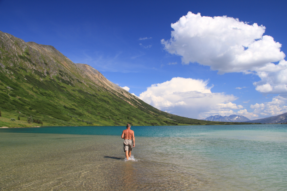
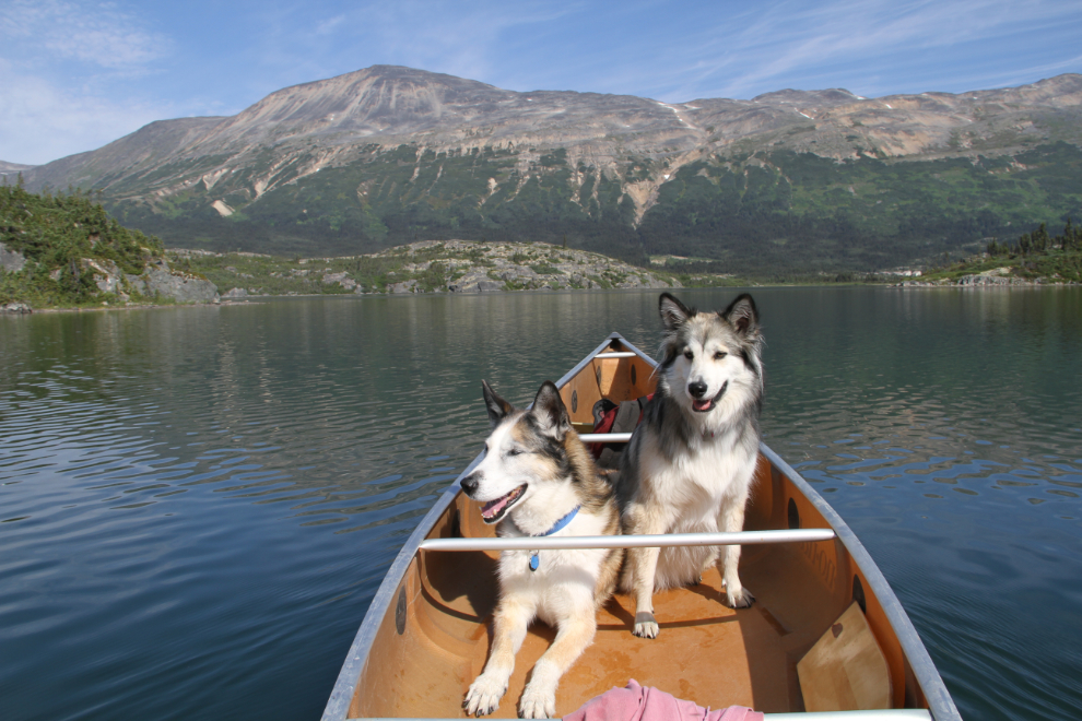
And finally there is canoeing. There is a boat launch on Bernard Lake right at Fraser, but a short and fairly easy portage from the highway shoulder gives access to larger and even more interesting Summit Lake.
The activities above are just a sample of what the White Pass has to offer. In BC’s unknown corner, a new adventure waits around every corner.