Exploring the Campbell Highway, Day 1 – Watson Lake to Simpson Lake
Cathy’s RV focus for a while has been to get back to Dawson, so that is where the fur-kids and I are headed as I write this while camped at Ross River. We’re taking a very long route, though, via the Robert Campbell Highway. The Campbell Highway, Yukon Highway 4, runs 583 km (362 miles) from Watson to Carmacks, where we’d then turn north on the North Klondike Highway to Dawson. I’ve only ever driven the entire Campbell Highway once, and that was over 20 years ago.
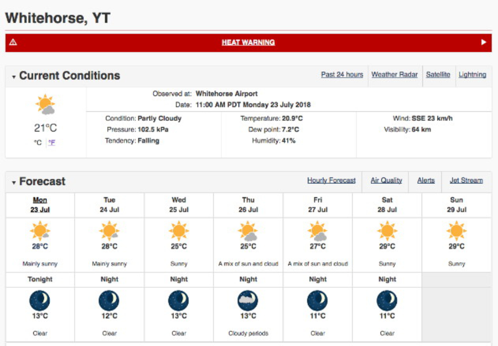
It’s not like me to complain about sunshine, but this weather report had me thinking about cancelling the trip. Bella in particular suffers in the heat, and as I wasn’t going to be going to any commercial campgrounds with electricity, the only way to keep the motorhome cool is by running the generator to power the air conditioners. I don’t like the sound of the generator, and my campground neighbours wouldn’t be very pleased, either.
But we did depart on Tuesday morning just before 09:30. I had planned on leaving Monday evening, but I spent 3 hours working with a British film crew late that afternoon and was too tired to hit the road then.
The wildfire smoke was thick enough that photography possibilities were going to be pretty limited. The next photo shows the Yukon River Bridge on the Alaska Highway 10 minutes from home.
The smoke was thicker at Teslin, then thinned out as we continued east. I thought that the smoke was coming from the Poison Lake fire west of Watson Lake, but apparently not.
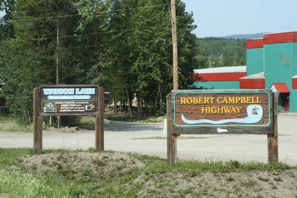
We took a long break (a.k.a. an afternoon nap) at the Continental Divide, then another stop for a load of fuel at Watson Lake. At 4:30, we reached Mile 0 of the Robert Campbell Highway, which is at the Signpost Forest in Watson Lake.
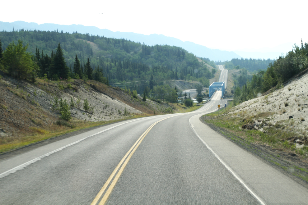
Westbound on the Robert Campbell at about Km 27. As you leave Watson Lake, a sign warns drives that the next fuel is 363 km away (in Ross River). The range in my motorhome is over double that, so no problem. To do it on my motorcycle, I’d need to carry gas cans.
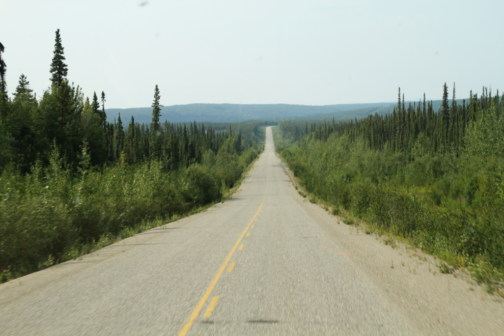
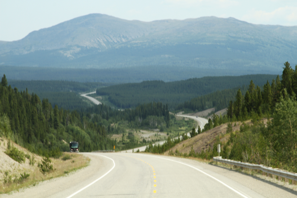
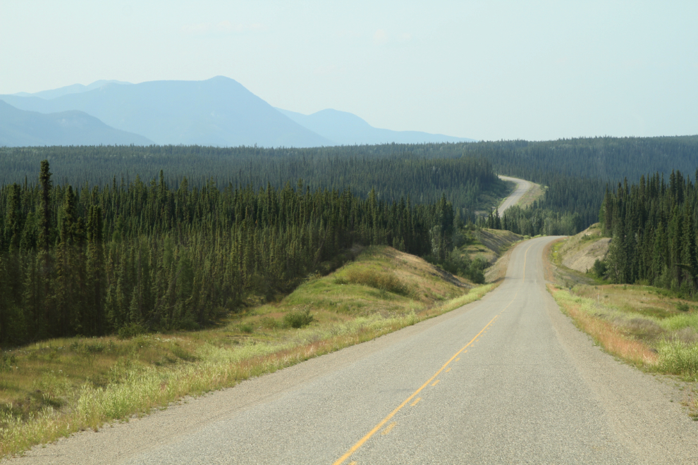
The highway, which opened in 1968, was one of many built under a federal Roads to Resources program, intended to encourage the opening of mines in particular. It closely follows the fur trade route pioneered by Hudson’s Bay Company employee Robert Campbell, who arrived a half-century before the Klondike Gold Rush that made “the Yukon” a household term. The first part of the highway runs in the broad valley of the Frances River – the next photo was shot at about Km 56.
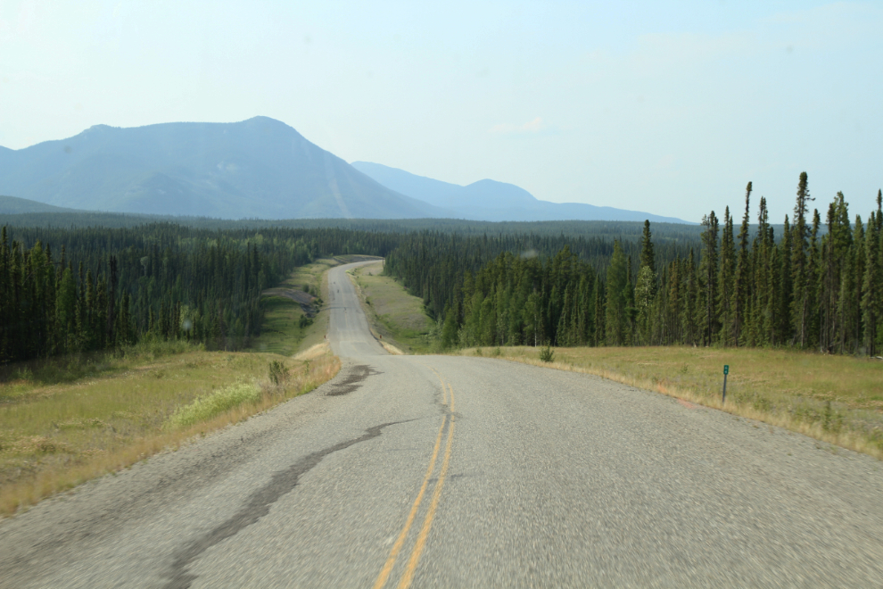
The Km 64 post can be seen in the lower right of the next photo. They are placed every 2 kilometers. This is very pleasant country, and the driving is easy. There was virtually no traffic on the road. I had been in no hurry, and the time was now 5:27 – my plan was to stop for the night at the Simpson Lake Campground just ahead at Km 81.
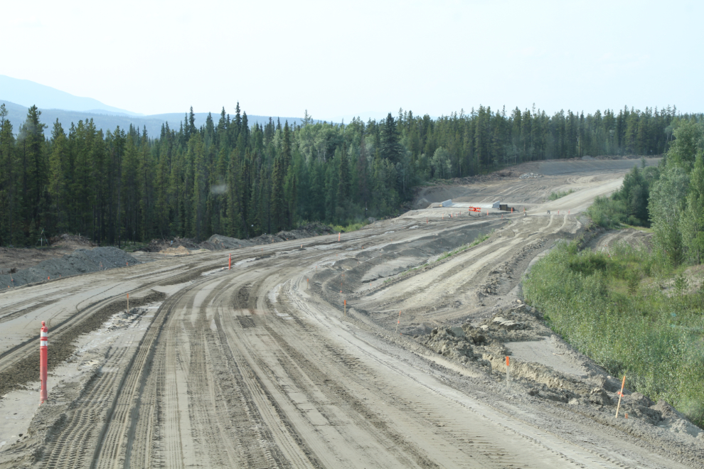
At Km 73, I came to a section of major reconstruction. Six kilometers of the highway are being completely rebuilt, at a cost of $5.7 million. How odd on a road with no traffic.
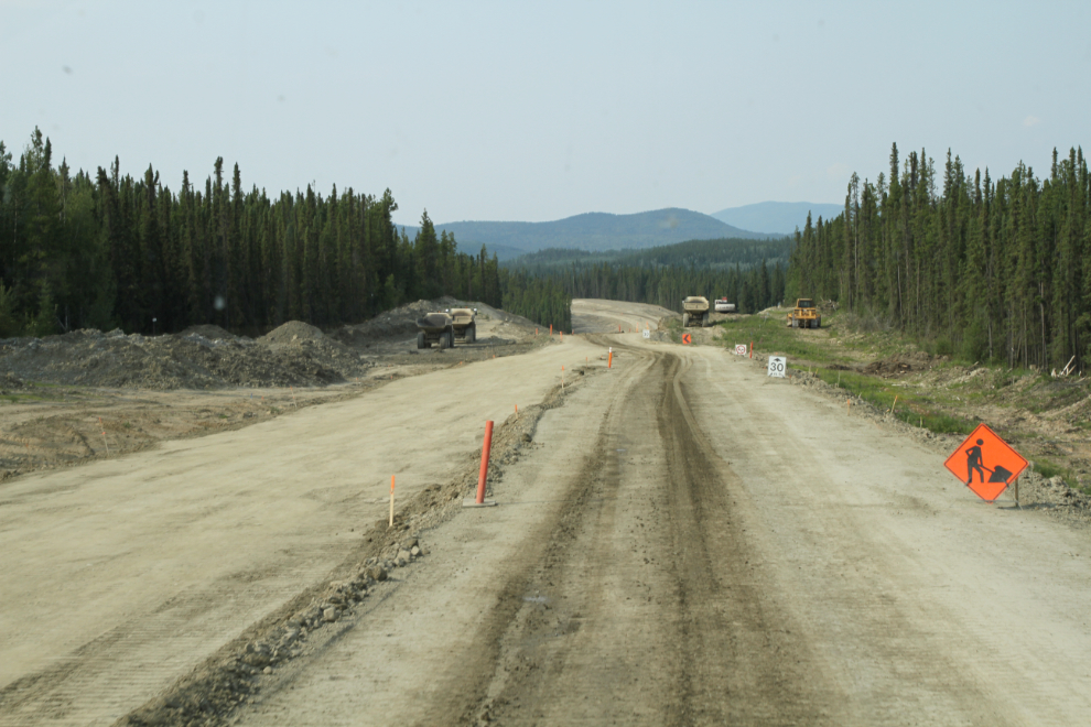
Crews were gone for the day, and that section of sand ahead in the next photo was so soft that I barely made it through. If it would have been any wider, I’d have had a major problem. In the Fall of 1992, I got my little Pontiac Acadian stuck in the middle of the Alaska Highway in a stretch of soft construction mud, and was there until crews came back to work the next morning. By that time there were many more stuck behind me – the American guy in a brand-new Ford mired behind me was going to sue everyone from the Queen on down 🙂
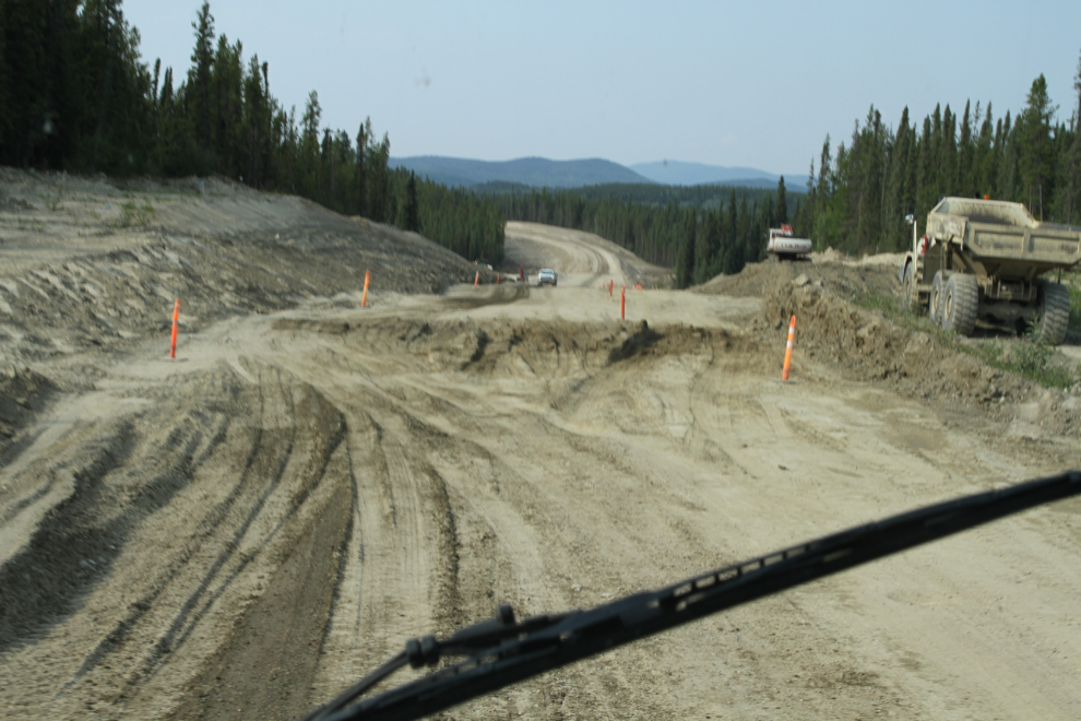
This is some make-work project! Most of it was quite soft, and I was glad to reach the end of the 6 kilometers. We were all looking forward to parking for the night.
When we drove into the Simpson Lake Campground, however, we got a big surprise. The Liard First Nation had taken it over for an event, and there were already about 5 times as many people as the campground was meant to provide for. So, back on the highway until a pullout appeared.
Luckily, a suitable pullout was only 8 kilometers further along, right at the Km 92 post. It was pretty level, had some shade, and was beside Simpson Lake.
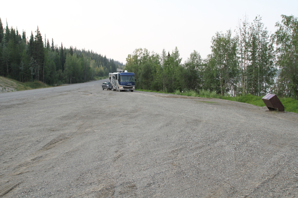
The temperature was 27°C, and a little road leading down to the lake was a nice place to walk Bella and Tucker so they could get their feet wet (neither was interested in getting any more wet than that).
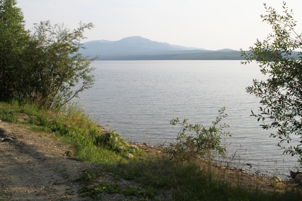
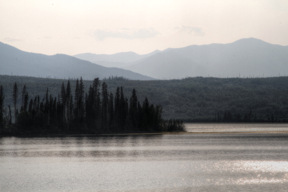
There seemed to be a high layer of smoke that diffused the light and kept it a bit cooler than it would have been otherwise. The next photo was shot at 7:35.
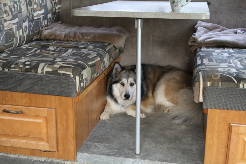
Bella’s favourite spot in the RV is under the dinette – the place that gets the least air circulation. No amount of coaxing or treating will get her to a cooler spot for more than a couple of minutes. With no neighbours to annoy, I fired up the generator and turned on the rear air conditioner long enough to cool the bedroom down before turning in for the night.
I had no real plans for the next day – we’d just see what was interesting and stop when the mood struck.