BC RVing: Dawson Creek to Hudson’s Hope and Pine Pass
With huge changes coming to Highway 29 in the next few years due to the construction of a massive new power dam, it was important to me to make the fairly lengthy detour to get another look at it. Sunday, September 13th, day 5 of the trip, entailed a backtrack to Fort St. John before turning onto Highway 29 – with lots of exploring around Hudson’s Hope, the day’s total mileage would be about 350 km (218 miles).
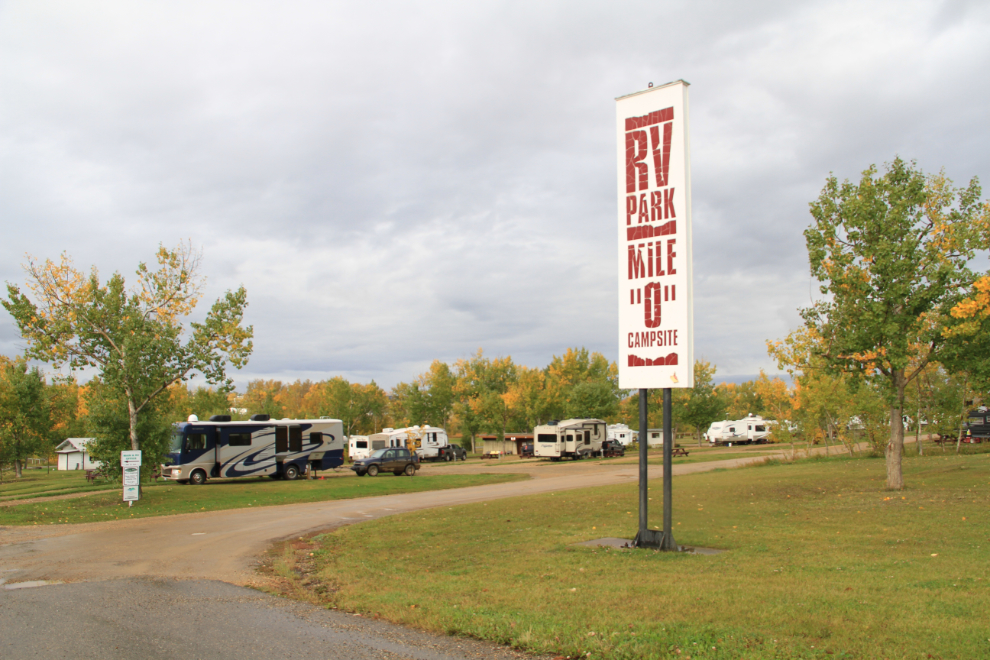
While I thought that the Mile 0 RV Park was a bit spendy at $47 per night, the quality and location were both excellent, and I’d probably stay there again.
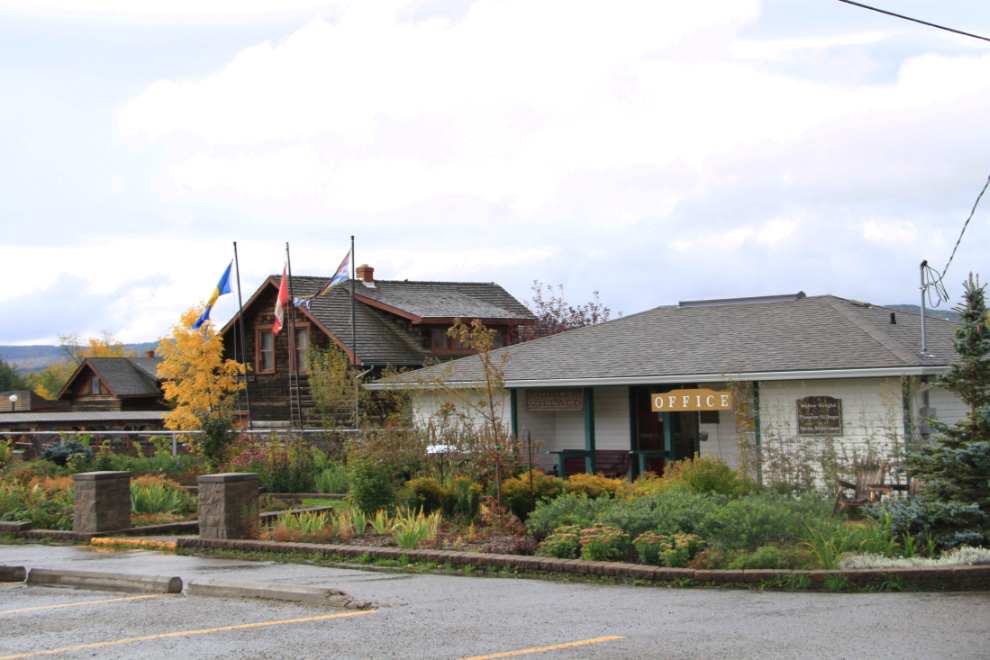
The office for the RV park is also the office for and entrance to the Walter Wright Pioneer Village. Although the park wasn’t due to open for 40 minutes yet, the person on duty not only let me in but opened several of the buildings for me.
The collection of buildings, machinery, and vehicles, is very good, but there is nowhere close to enough proper storage for the machinery and vehicles.
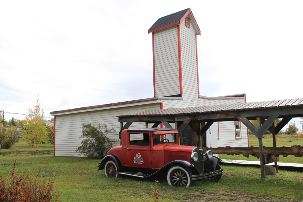
The main street of the village contains all of the structures you would have found, from a residence and church to a general store and telephone office.

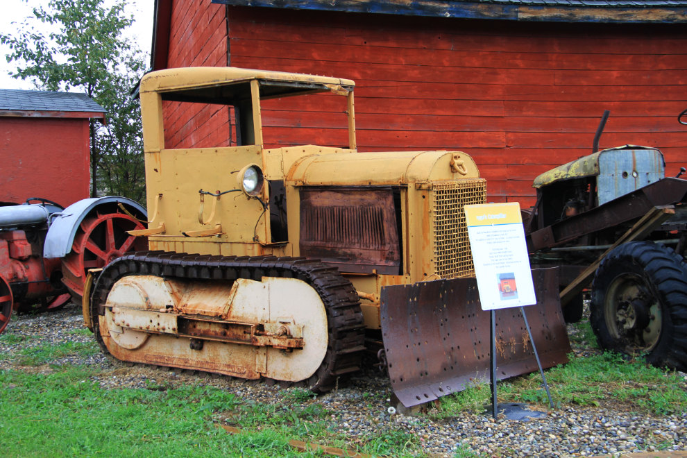
This bulldozer was built in the 1950s by Napoleon Loiselle using GM running gear, a Willys-Knight truck cab, and tracks hand built from leaf springs. Other machines custom built by Loiselle are also in the collection.
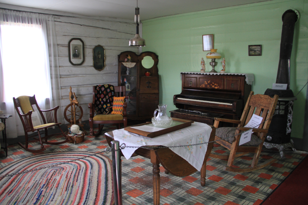
The residence is beautifully furnished.
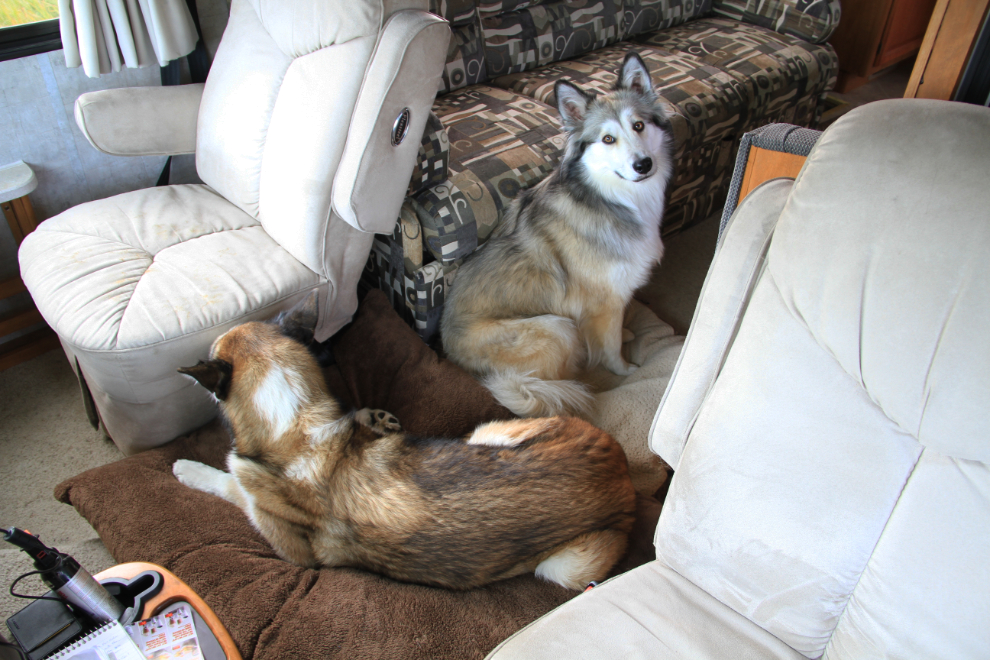
The bed that I bought for Monty on Saturday was an immediate hit for travelling days in the motorhome. I put it on the engine cover, as he likes a fair bit of heat now.
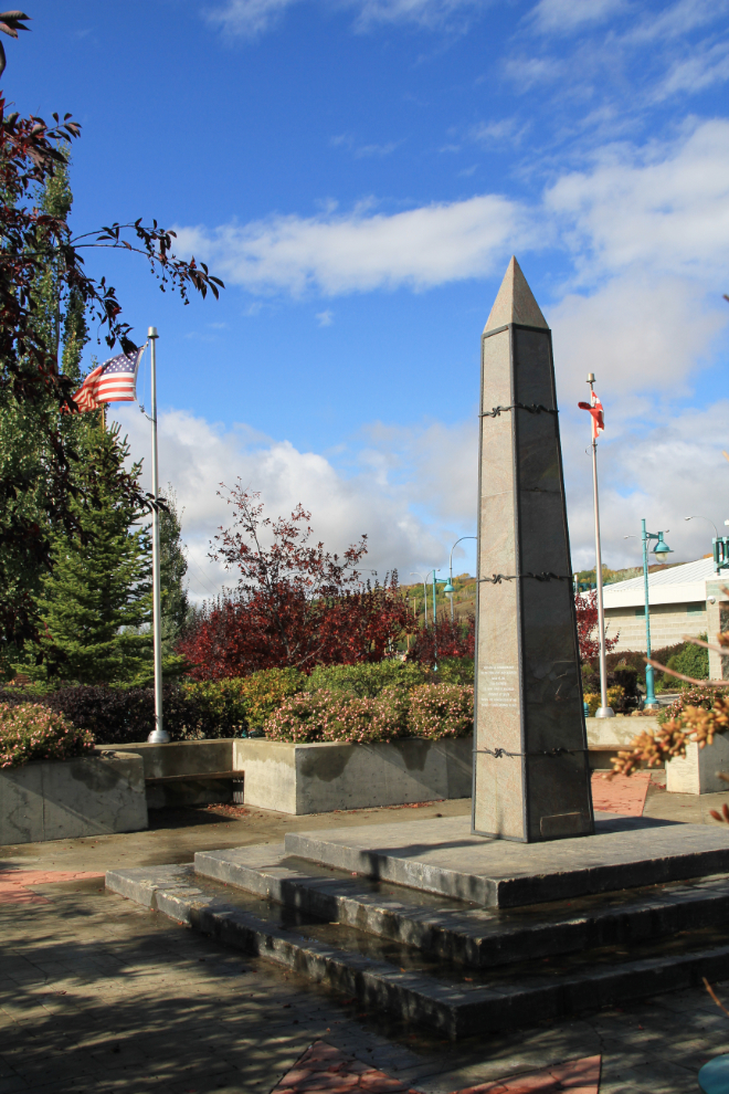
Driving back up the Alaska Highway, our first stop was at Taylor, to see the Alaska Highway memorial park at the Civic Centre. Specifically, it honours the 341st Engineers, US Army, who were stationed at Taylor in 1942.
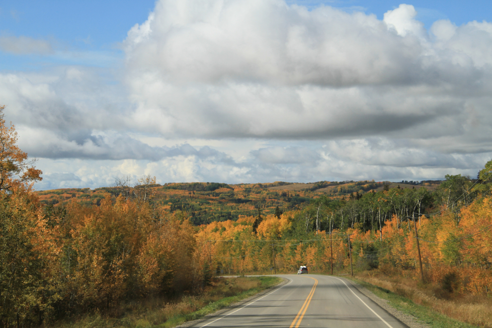
At about 12:30, we turned west on Highway 29, headed for Hudson’s Hope.
When construction of the new Site C power dam is completed, this will be at the bottom of the reservoir. Seeing this valley as farmland for probably the last time was my main reason for coming this direction.
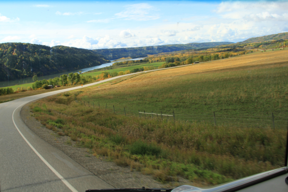
Many people seem to be still fighting the dam, but construction has started, and the odds of the $8.3 billion project being halted are something less than zero (in my opinion). About a dozen families who have been on their farms and ranches for generations are being bought out – I do find it sad to hear about people losing tangible family history.
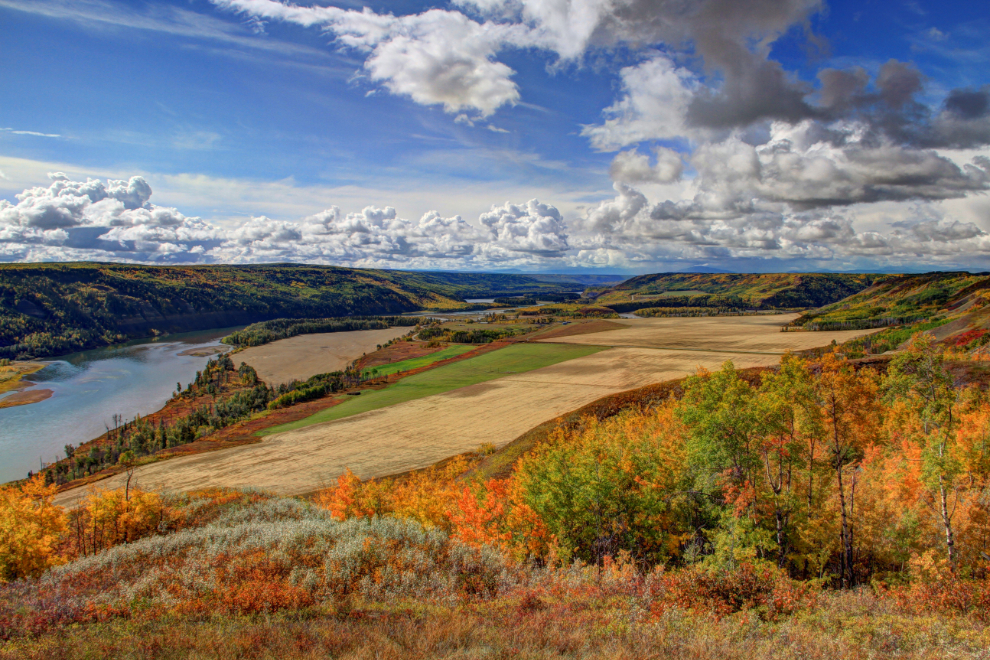
Processed as an HDR image, this is the view from a rest area 42 km (26 miles) north of Hudson’s Hope. All that farmland will also be underwater when Site C is completed.
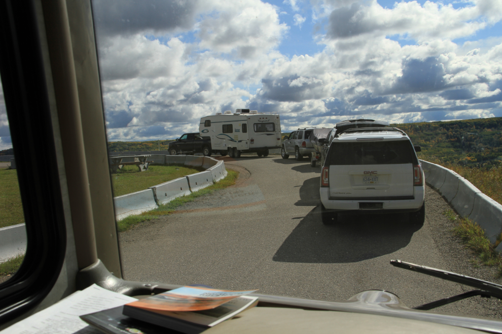
The Milepost notes that the rest area has “limited access”. Yes it does – getting around all those parked vehicles with a rig 51 feet long even raised my stress level a notch.
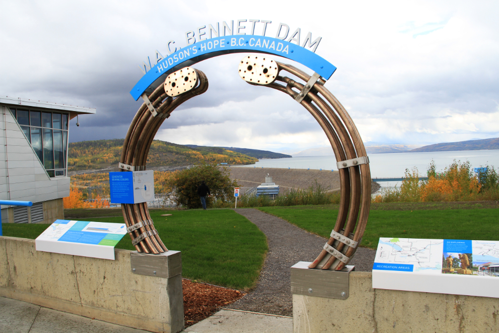
At the Welcome to Hudson’s Hope sign, I unhooked the Tracker so I could use it to tour with. The first stop was the W. A. C. Bennett dam, but it turned out to be very disappointing. The visitor centre that was under construction when I was there last December was closed (it closed for the season after Labour Day), and visitors can only drive across the dam in escorted convoys (and the main viewpoint has been closed). The gate guard said that BC Hydro had just updated their safety procedures, but it was done at about the time the anti-dam people lost their last court battle, so I think that it was done to eliminate one possible protest location.
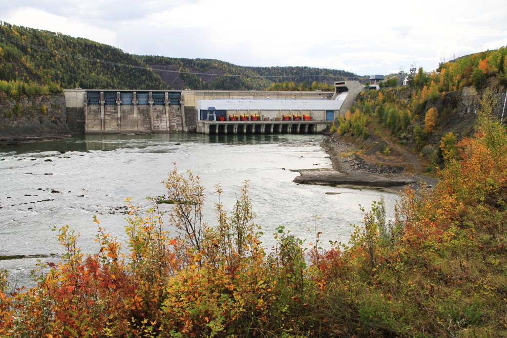
Not finished with dams, I drove next to the Peace Canyon Dam, a much smaller structure. I saw no evidence of security concerns there.
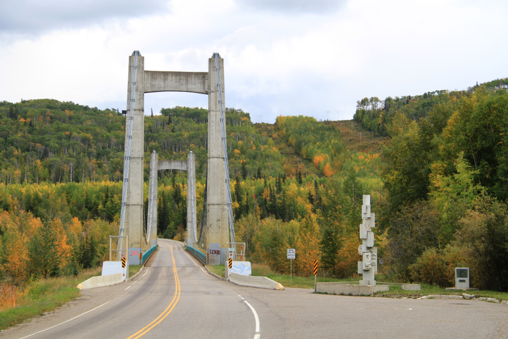
The bridge just below the Peace Canyon Dam is pretty cool, too. The bronze plaque on it calls it the Hudson Hope Bridge, but it seems to me that it should actually be the Hudson’s Hope Bridge since that’s the name of the community. It has a total length of 1,076 feet, with a main span of 679 feet and side spans of 190 and 207 feet.
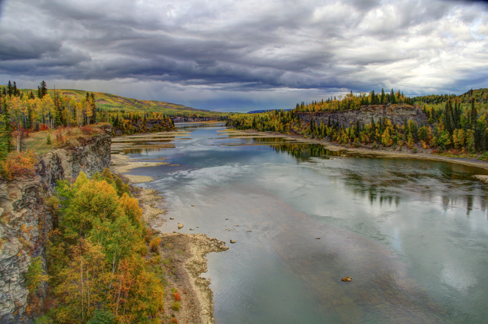
The light was going quite flat, so I processed the view down the Peace River from the bridge as an HDR image to bring out some contast.
On the way back to the motorhome, for no particular reason, I drove down into the city-operated Alwin Holland Campground, then walked down a trail with a couple of large warning signs about water fluctuations because of the dams upstream. What I found was a stretch of river with dramatic layered and eroded rock formations, and I spent quite a while shooting there.
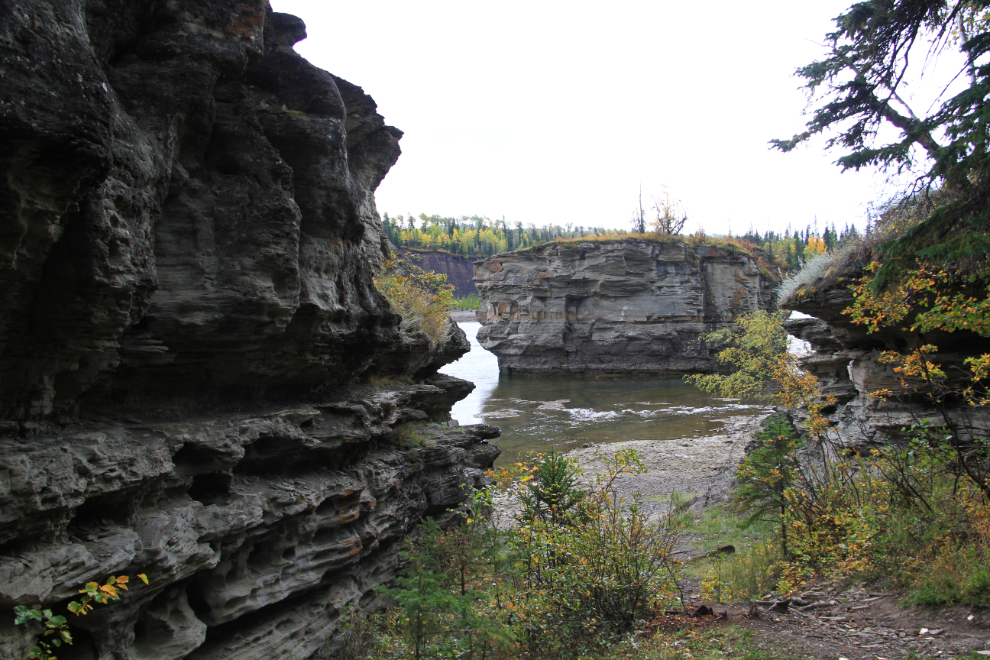
This was the view down the river from the furthest point I walked to.
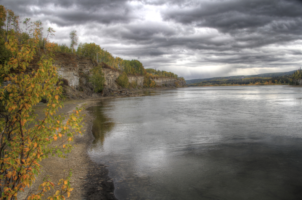
This was on the trail back to the car. If I needed some encouragement to unhook the Tracker and explore more often, this certainly did it, as the motorhome wouldn’t have fit in the campground and I would have missed this wonderful place.
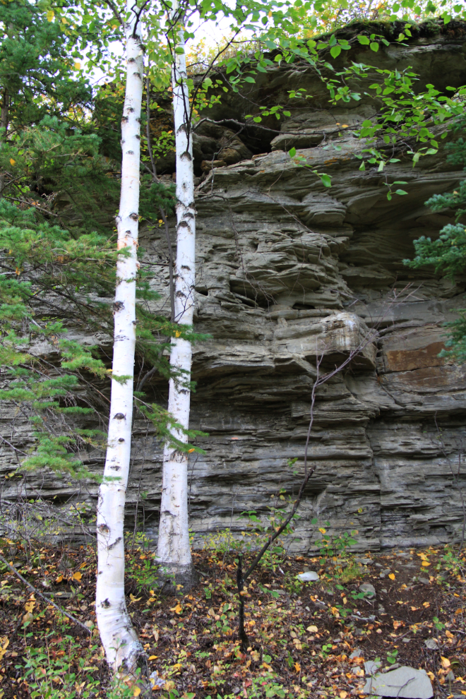
The rain returned not long after I had reconnected the rig and continued my way east to Chetwynd, and then south towards Prince George.
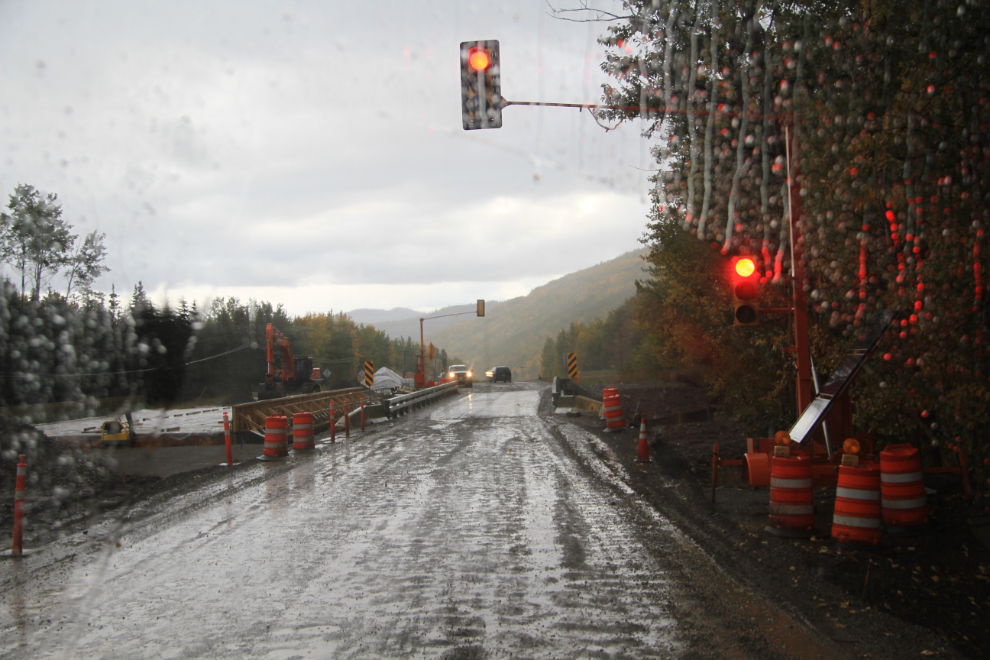
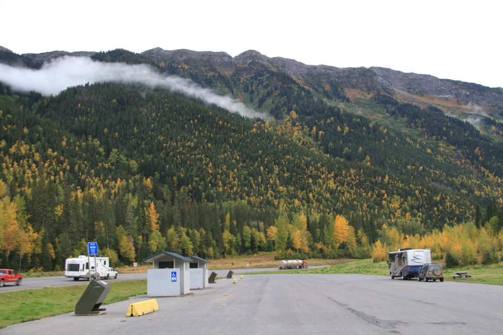
I didn’t have any real plan about where I’d spend the night, but as I got near Pine Pass I decided that the West Pine rest area would suit us fine. We reached there just before 7, a few minutes after leaving the rain. A huge parking lot including lots of grass to play with the dogs, and a spectacular view – life was good
On Monday, we had a lot of miles to put on, en route to Hinton, Alberta, to see my son and his family.

