Another long e-bike ride to Cowley Lakes
As we were descending into Whitehorse on our Air North flight last Wednesday, I could see that much of the flooding that stopped me on my e-bike ride on June 10th had receded, so I decided to give it another try on July 30th.
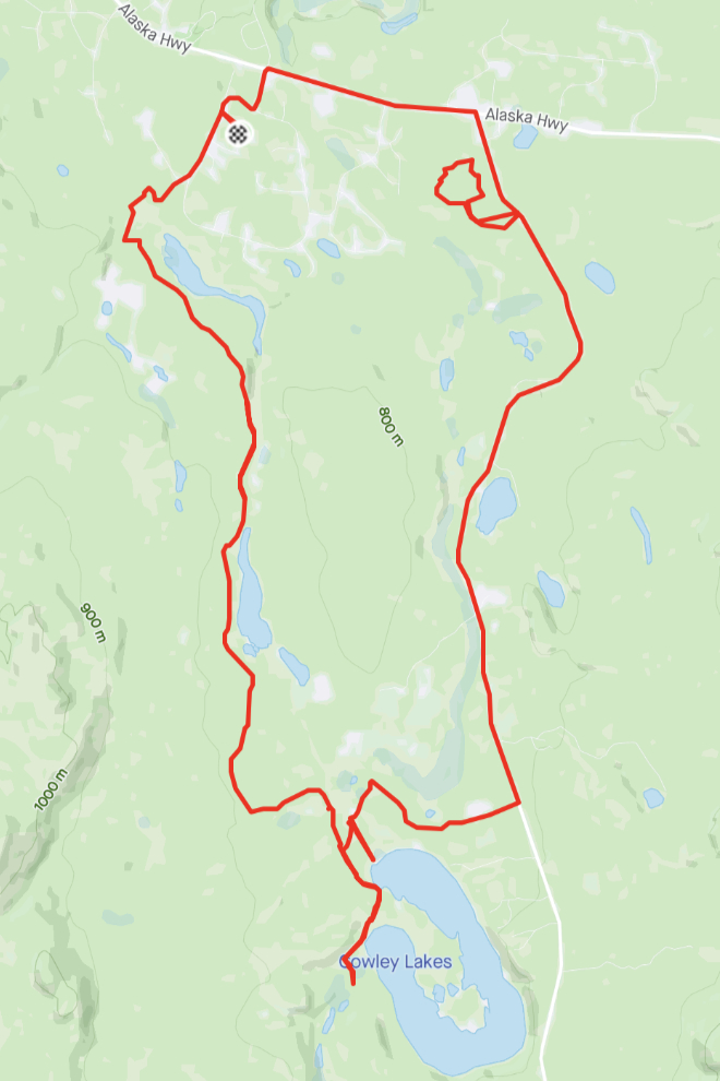
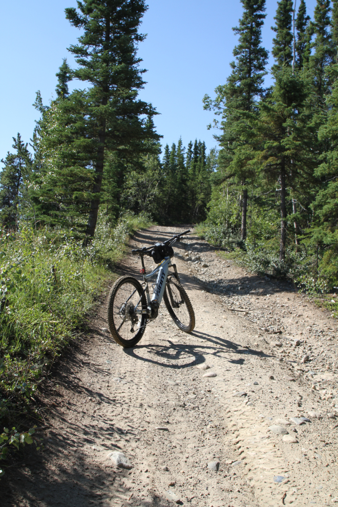
I’m using 2 apps on my e-bike rides now. The map below is from my Strava account, which I use because it gives me good data and feeds the Trailforks trail information. I also use Relive because of its fun videos.
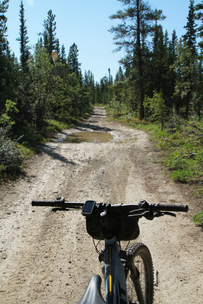
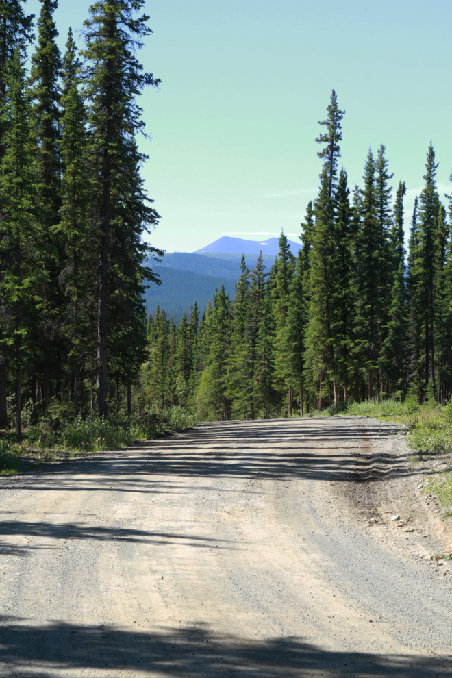
It was sunny and 17°C/63°F when I left home at about 11:20, with a forecast high of 24°C/75°F – pretty much a perfect day for exploring. At 11:40 I was well along the historic Canol pipeline road that was built in World War II. Very heavy rains while we were in Vancouver had re-created some of the puddles along today’s entire route.
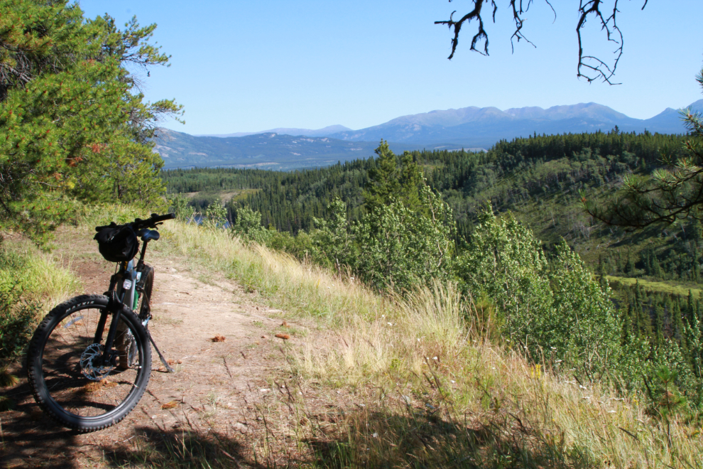
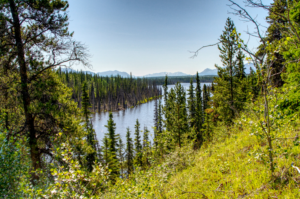
The first broad view, looking north over Mary Lake, always stops me.
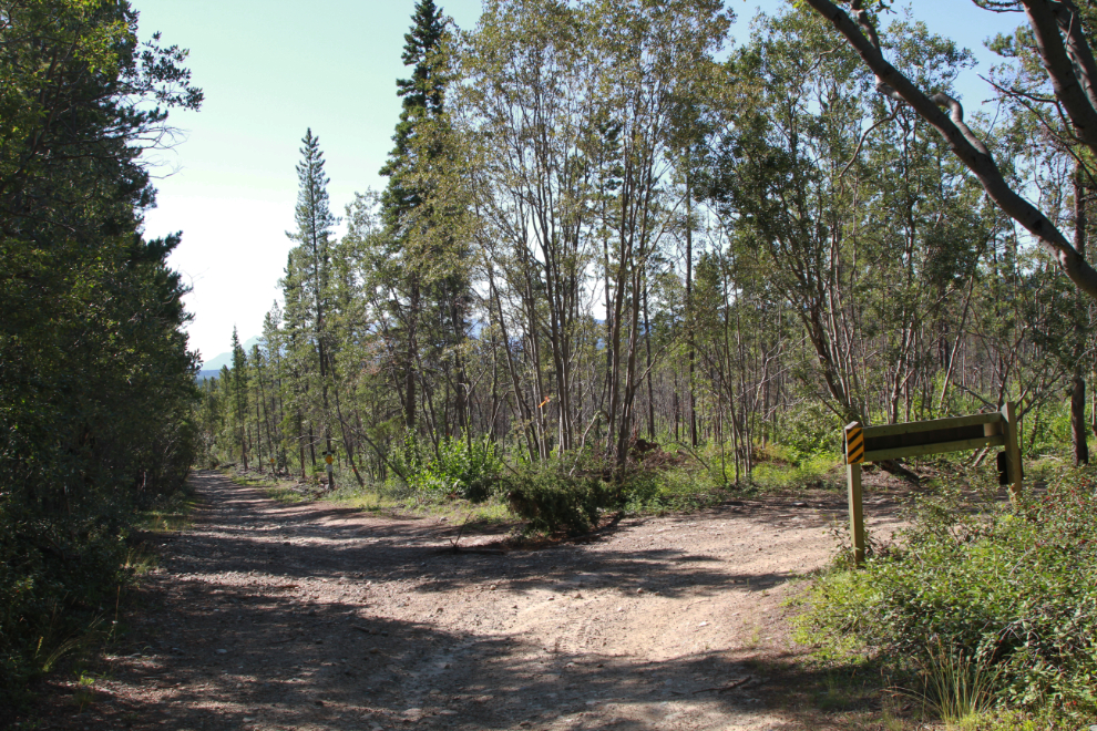
At 11:51 I reached the junction with the Trans Canada Trail, coming in from the historic copper-mining area to the right. The Canol pipeline road now becomes the Trans Canada Trail.
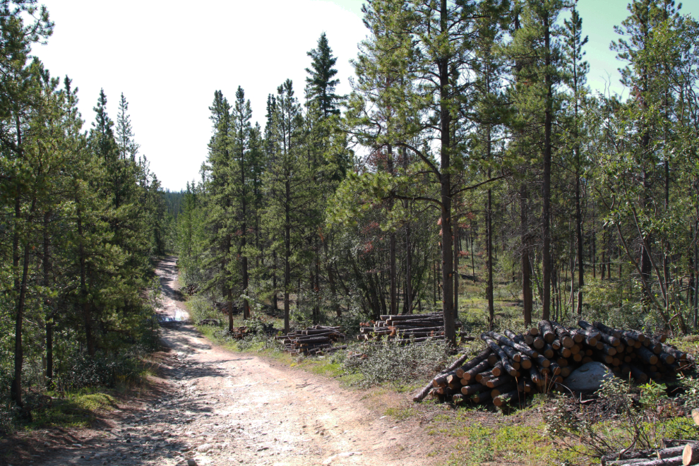
South and west of that junction, an enormous amount of logging has been done to create a firebreak for the city – in particular for the “country residential” properties like mine.
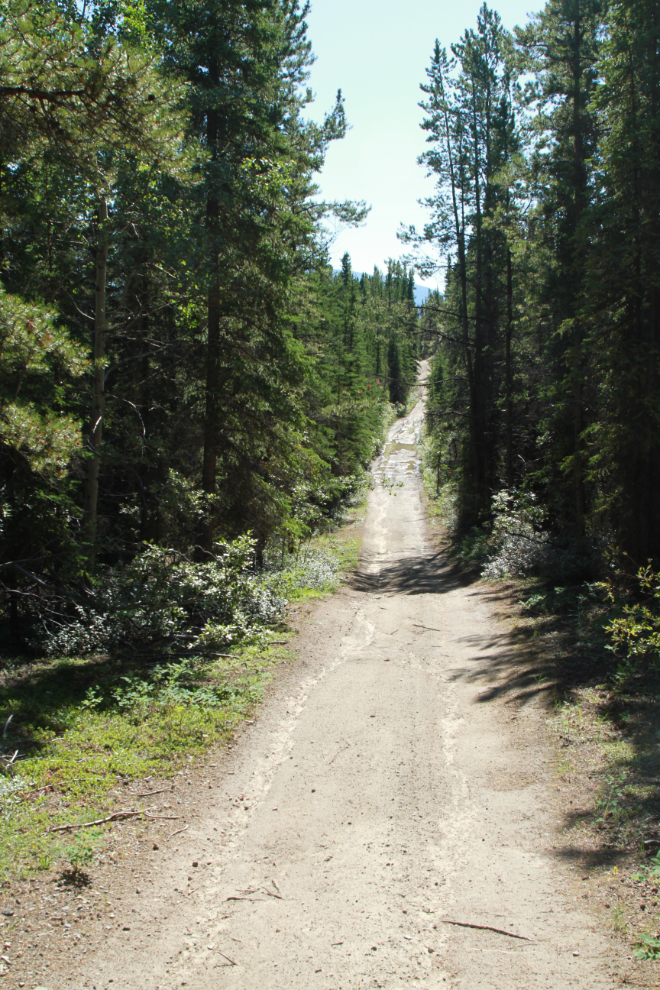
At 12:10 I was on the steepest hill on this route. The photo doesn’t show just how steep it is.
From the spot where I stopped in the photo above, there’s a great view to the southeast over Murray Lake.
Not far past that hill, I noticed that my bear spray was gone. I backtracked about 2 km and found it. Although I like to have it handy, losing it from my water-bottle holder is not a good option, so I put it in my handlebar bag, which has a fastener that opens quickly and easily.
This is one of the few long views down the winding trail, at 12:20. It really is a pretty ride.
At 12:35 I was at Dugdale Creek, where this cabin, probably a woodcutter’s cabin a few decades ago, sits above the main trail.
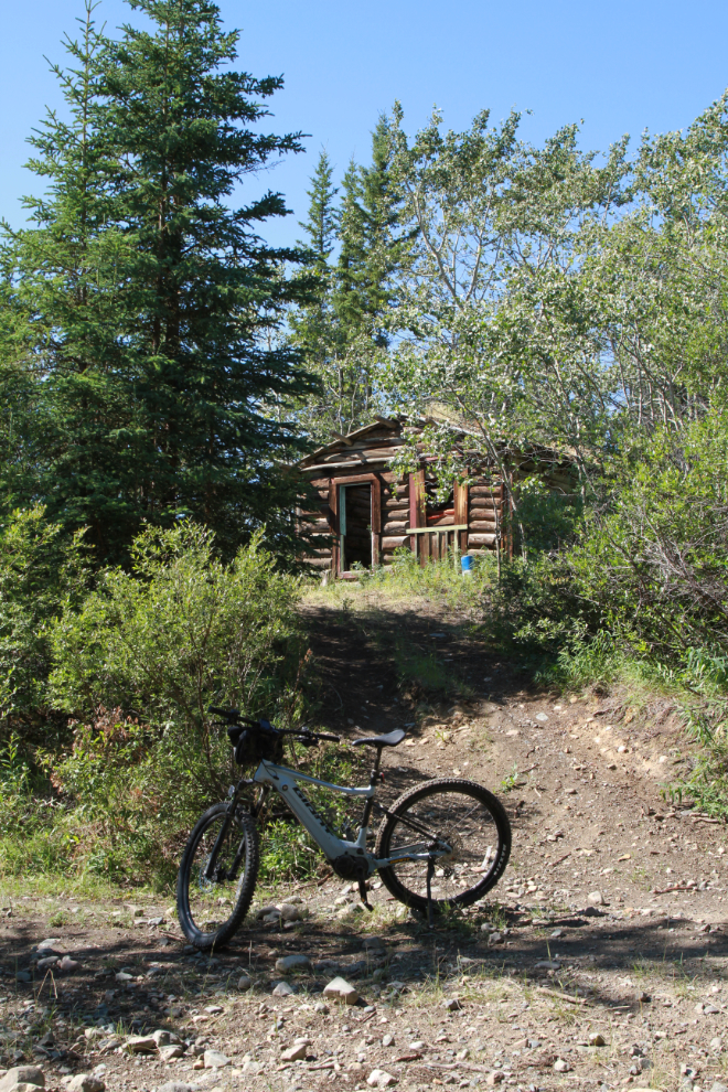
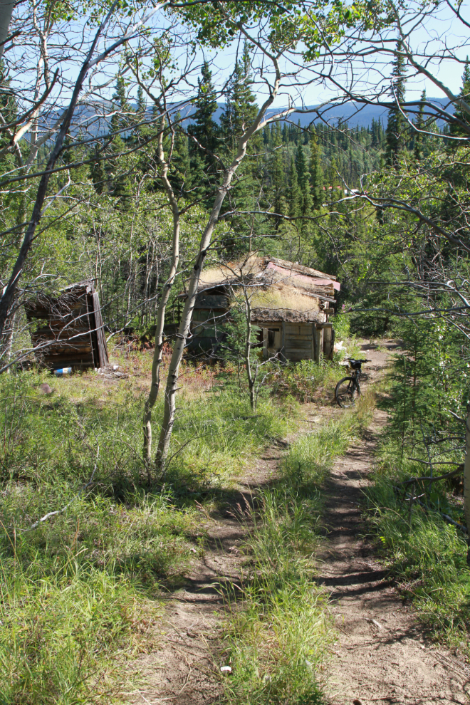
A road climbs steeply past the cabin to the top of a ridge to the west. I walked up it to see if I could figure out where it might go. No luck on the guess, but it’s certainly on my “to-explore” list. Although there’s nothing on Trailforks, I can see on Google Earth that there’s an extensive network of trails off in that direction. The next photo shows the cabin from half-way back down that road.
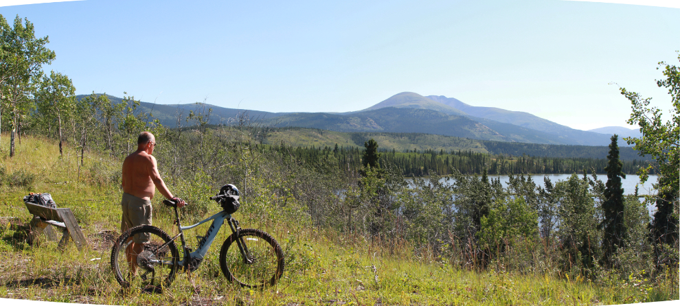
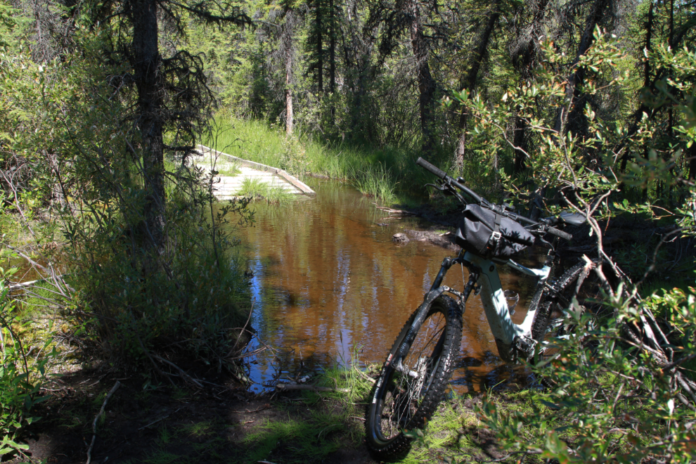
Getting across flooded Dugdale Creek was a challenge but it wasn’t as bad as last time, and by 12:55 I was at the wonderful rest and viewing stop overlooking Cowley Lake.
Along here somewhere, I dropped into an unexpected deep hole in a puddle I was crossing. The bottom connection of my bike’s battery is 17 inches above the ground, and the hole was about 23 inches deep. The bike died! I hadn’t been bringing the key needed to remove the battery (I will from now on), so all I could do is wait and hope that once the water drained out it would re-start. The first try didn’t work (I hate flashing red lights!) and I was starting to think about how far I’d have to walk to get a rescue pickup. After about 10 minutes I tried again and it started! Phew!
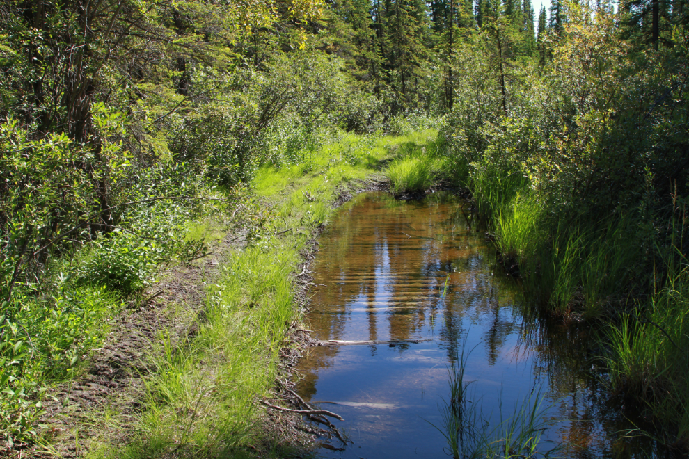
The old crossing of Cowley Creek is and will probably always be impassable…
…and the new bridge has deep water and mud on both sides. I shot this photo at 1:17 after successfully navigating both, having to carry the bike for a few yards.
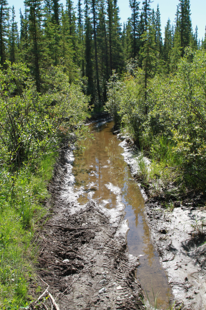
Corduroy roads (like a log bridge but on the ground) have gotten travellers over countless miles of mud, but this one is no longer serving its intended purpose.
I got stopped at 1:19 by deep and lengthy water and mud. This is the same place I got stopped last time – although the water isn’t as deep, it’s still too deep. I walked through it for a way, but it got too deep and the mud bottom was poor footing to carry the bike. I’d had all the deep-water experiences I wanted for that day.
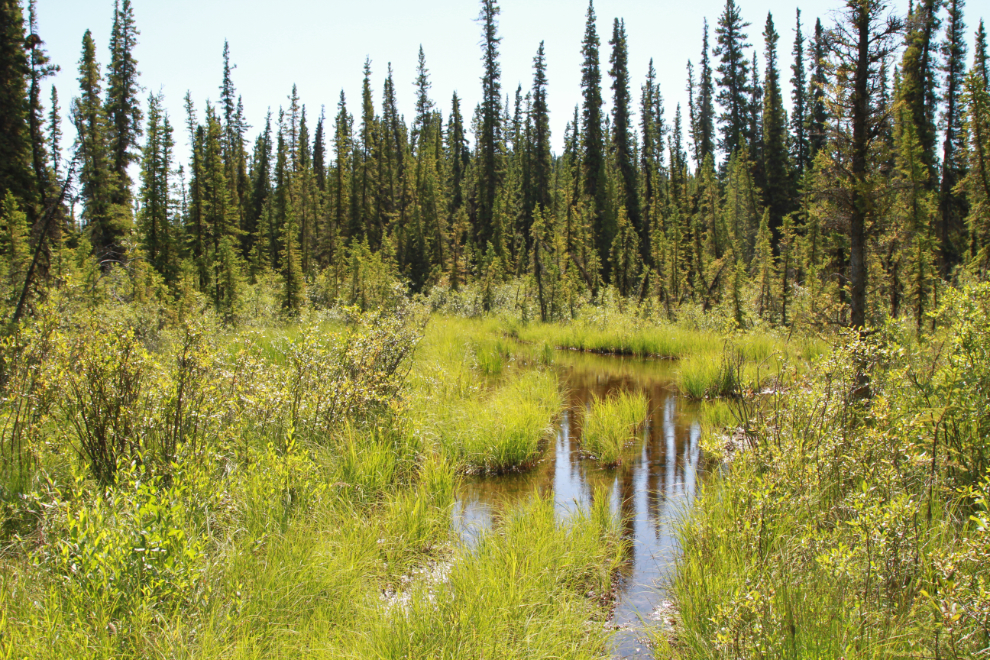
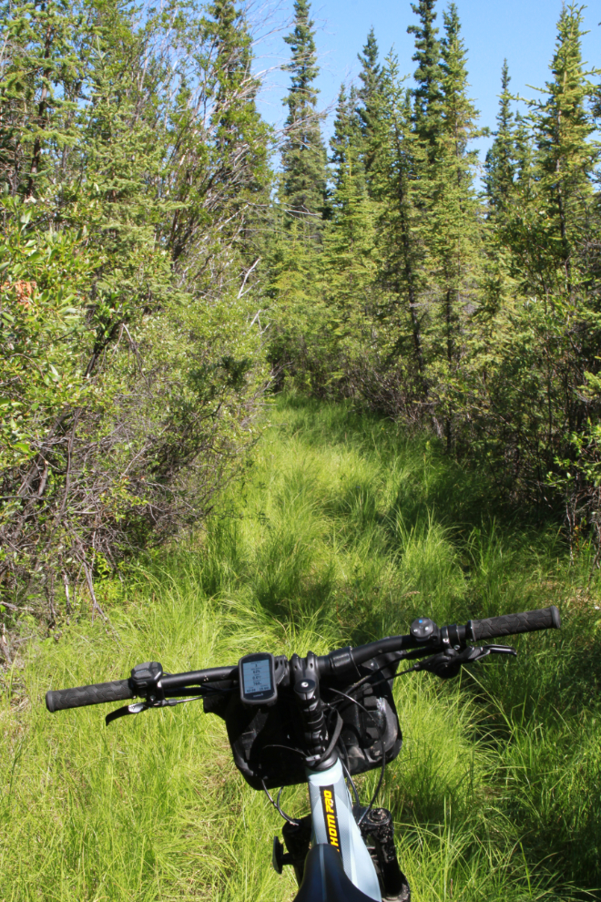
A half-kilometer or so of the trail back from there to the rest/viewing area is the prettiest of the entire route. I could ride trail like that all day.

The water on the shortcut trail to the abandoned WP&YR railway line and the road to the South Klondike Highway was dried up, so this worked out very well.
The rail line from Cowley to the first crossing of Cowley Lakes was mostly a walk, not a ride. This is the south end of the Cowley siding.
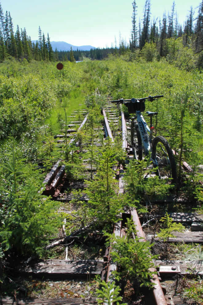
I had expected the lake crossings to be fairly clear of brush and trees, but I soon couldn’t even walk through them. Oh well, that ends my exploring from the north side. The south side offers other options to check out.
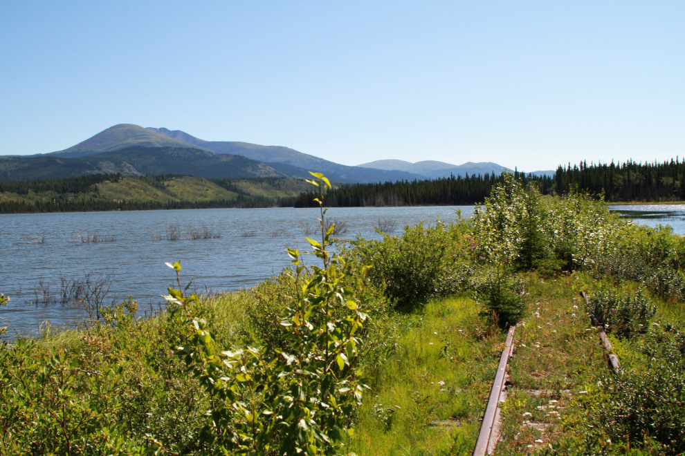
By 2:15 I had reached the highway via Cowley Lake Road. The final photo looks back towards the lake.
On the ride home I took a long detour into a subdivision that had roads and services built a few years ago but has never been developed. I thought I might find a bush trail home. I found a bush trail but it just tok me in a big loop. As I neared home, I did a loop around our cul-de-sac to get my mileage for the day over 40 km, my longest e-bike ride yet 🙂
Some very nice long views and the RR connection adds much interest for me. A couple shots of the trail and I was mentally picking gears on my bike and figuring to go slow and pick and choose a line or just pin the throttle and roll up in fast style. Looking forward to opening up several of the “Relive” files.